Charlottesville and Staunton
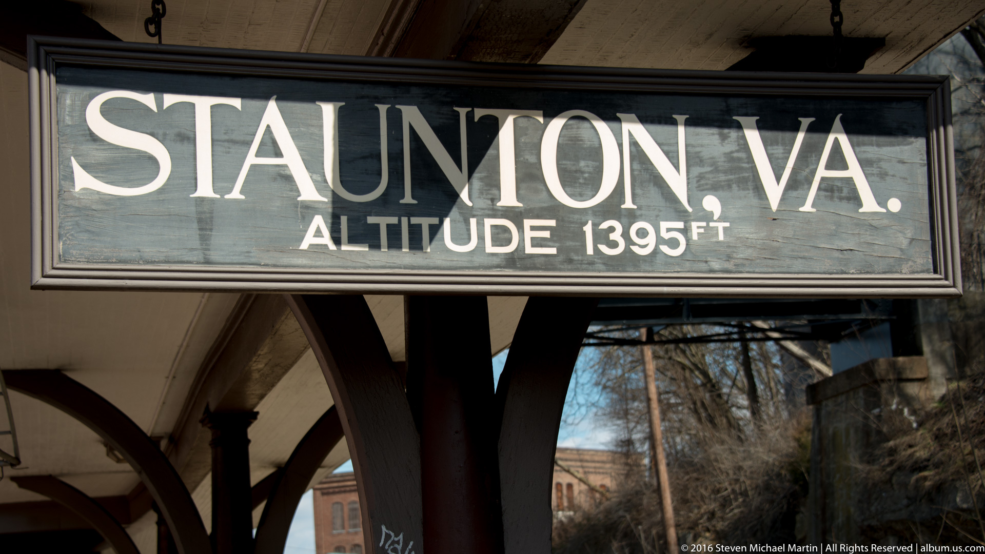
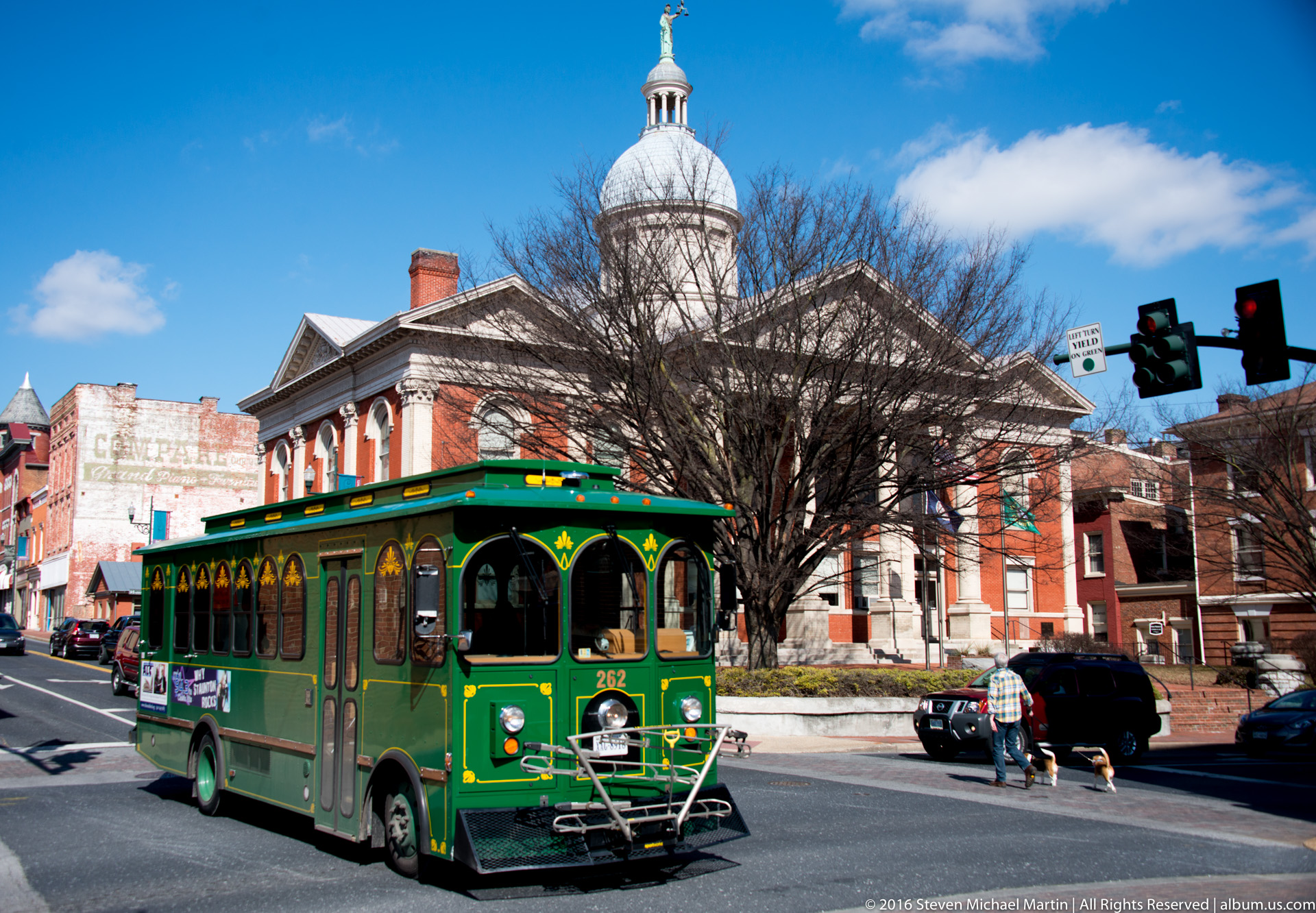
The cities of Charlottesville and Staunton developed along important transportation corridors linking the Virginia Piedmont with the Shenandoah Valley, where fertile agricultural land and mountain passes supported early settlement and trade. Charlottesville emerged along the historic Three Notched Road, connecting inland farms with markets to the east, while Staunton functioned as an important regional center in the eighteenth century due to its strategic location within the Appalachian backcountry. Both cities illustrate how geography shaped patterns of commerce, governance, and cultural exchange across the interior of Virginia.
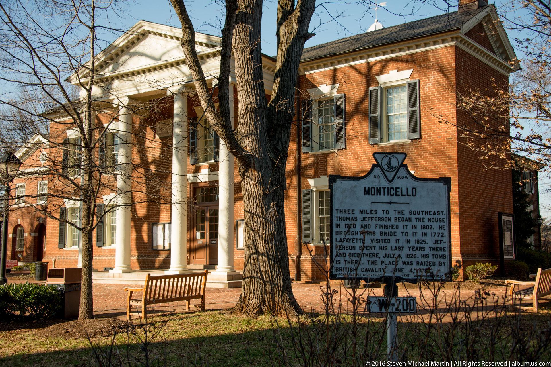
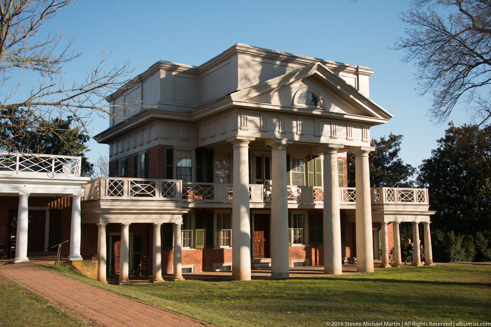
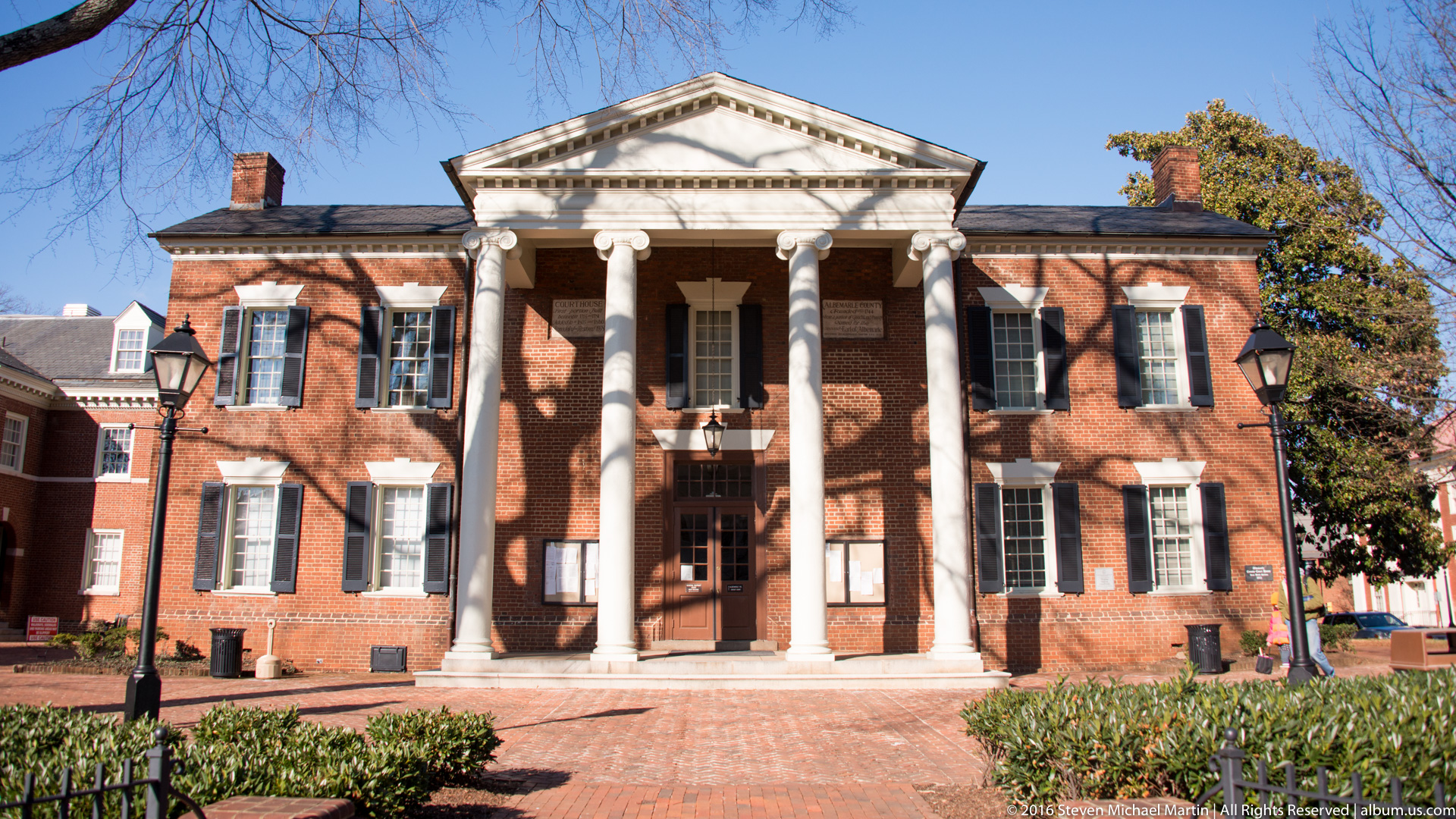
Charlottesville became closely associated with the intellectual and political legacy of Thomas Jefferson, whose architectural influence and educational vision shaped the surrounding region. Staunton, located within the Shenandoah Valley, developed as a trading center serving agricultural communities that expanded westward during the colonial period. The architectural character of both cities reflects nineteenth-century growth influenced by rail transportation, commerce, and civic development, demonstrating continuity between early settlement patterns and later urban expansion.
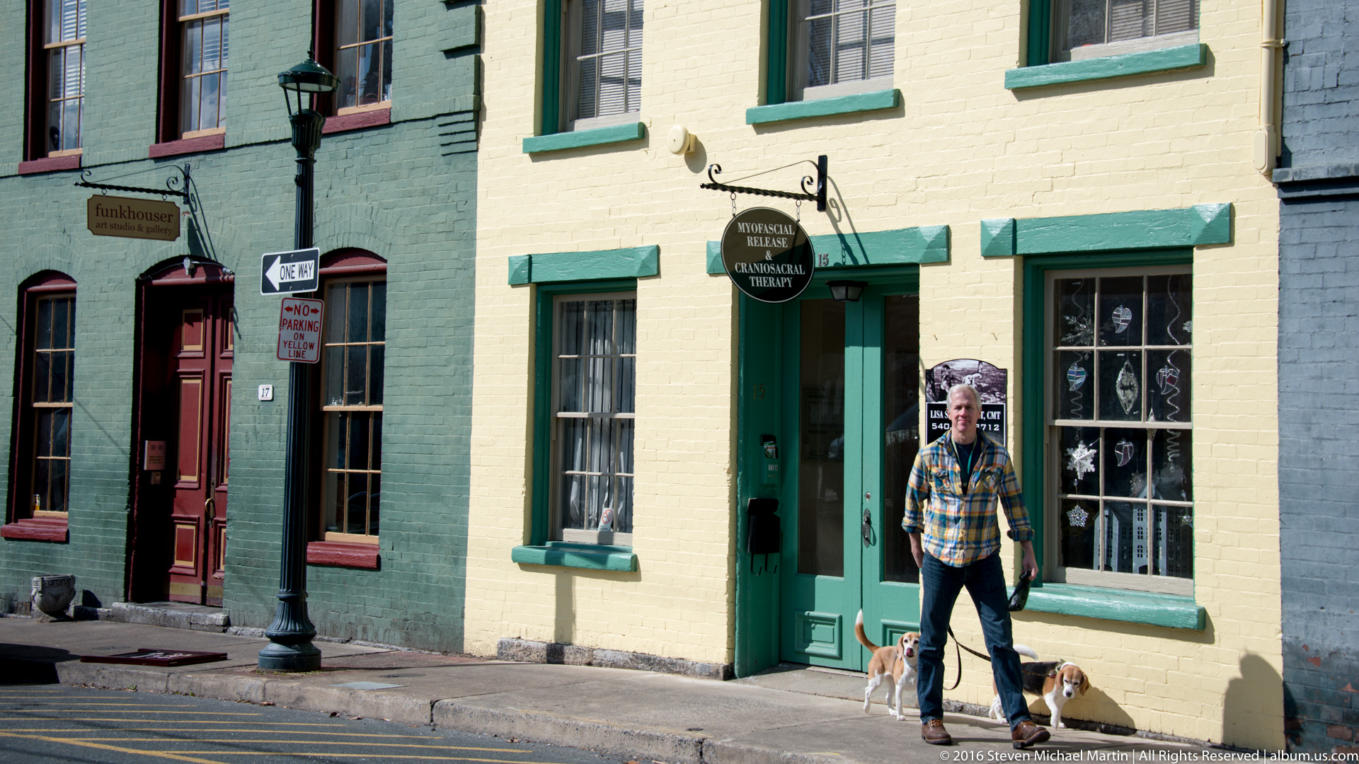
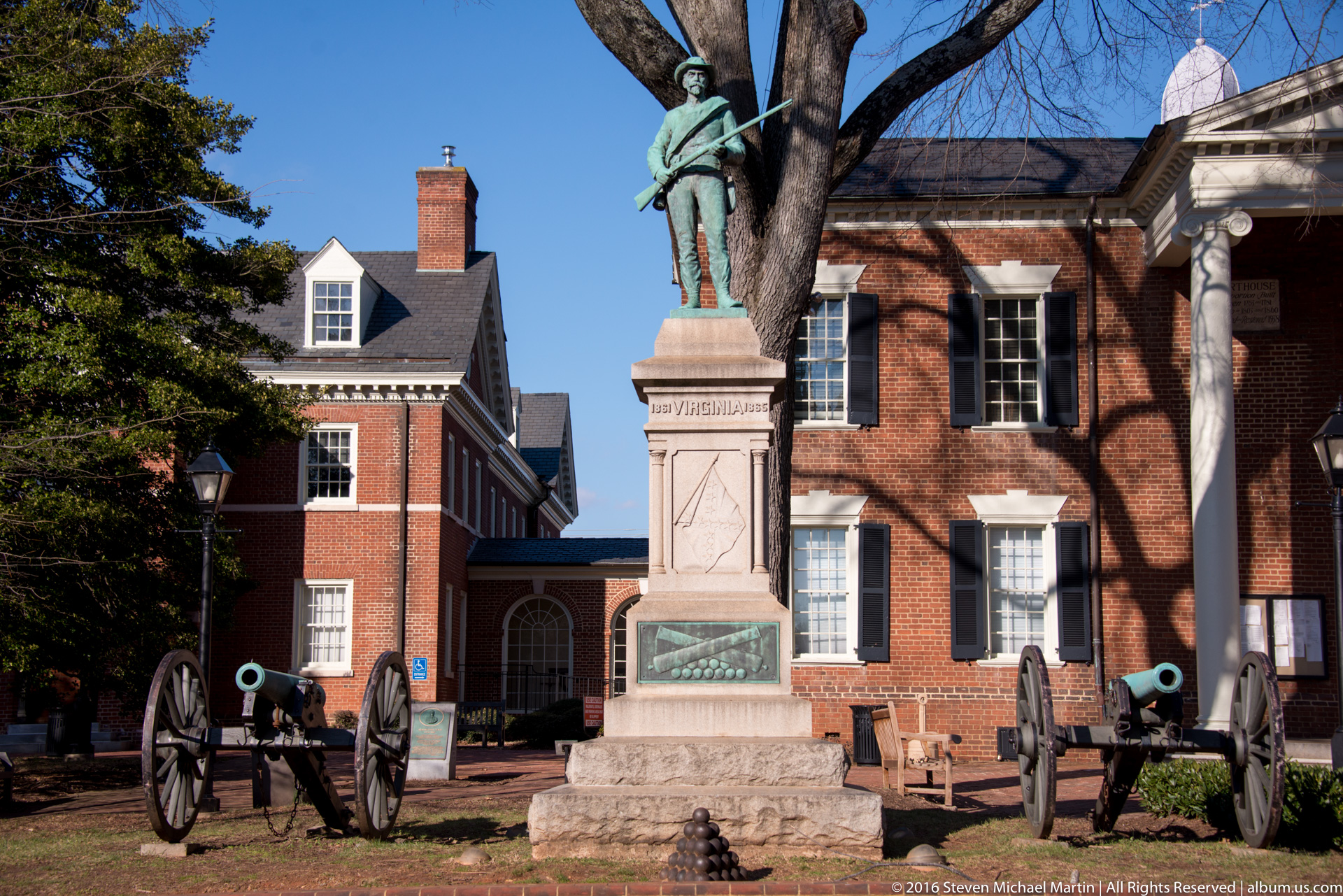
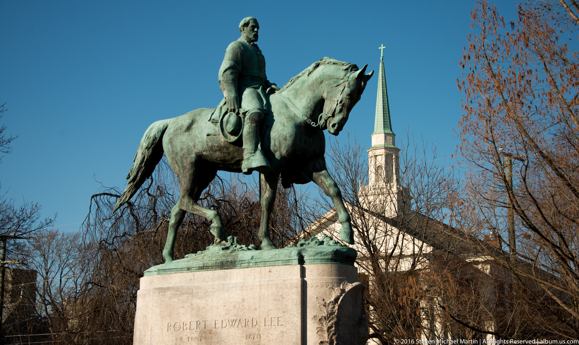
Charlottesville and Staunton contribute to understanding how inland cities supported the economic and cultural development of early America beyond the coastal colonies. Their preserved streetscapes illustrate the relationship between transportation routes, agricultural production, and institutional development within the Appalachian region. Together these communities reflect the evolving interaction between landscape, architecture, and intellectual life in the history of Virginia.