
Beartown State Park
Beartown State Park Beartown State Park preserves a collection of unusual sandstone formations shaped by weathering and erosion over long […]
Explore Portfolio
This itinerary follows routes associated with Daniel Boone and the Wilderness Road, one of the earliest pathways used by settlers crossing the Appalachian Mountains into Kentucky and the interior of North America. Mountain passes, river valleys, and forested ridges illustrate how geography influenced patterns of exploration and migration during the late eighteenth century. These landscapes demonstrate how natural corridors shaped the expansion of settlements beyond the eastern seaboard.
The Daniel Boone Trail follows landscapes associated with early frontier exploration across the Appalachian Mountains. Natural passages through mountainous terrain allowed travelers to cross from the Atlantic coastal regions into the interior of North America. The Cumberland Gap became one of the most important access points through the mountains, linking river systems and valleys that supported early settlement.
In 1775, Daniel Boone and a group of axmen established a route through the Cumberland Gap that became known as the Wilderness Road. The trail followed earlier paths used by Indigenous communities and migrating wildlife, demonstrating how natural geography influenced patterns of human movement long before formal roads existed. Over time, the route facilitated migration into Kentucky and contributed to the expansion of frontier settlements.
Today, landscapes along the Daniel Boone Trail illustrate the environmental conditions encountered by early travelers. Forested ridges, river valleys, and mountain gaps reveal how terrain shaped the direction and difficulty of migration routes. The itinerary connects locations that help interpret the relationship between geography and early American expansion.


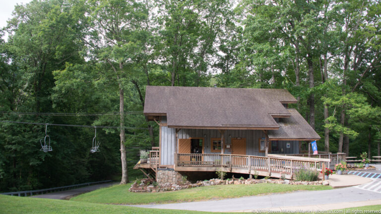
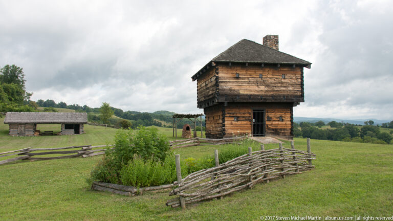


The route follows the Appalachian Mountains through Virginia, Tennessee, North Carolina, and Kentucky, connecting natural passages used for travel into the western frontier. Mountain gaps, river crossings, and forest landscapes illustrate the environmental challenges faced by early settlers moving beyond colonial population centers.
Sites along the trail demonstrate how geographic features influenced transportation corridors that later developed into roads and settlements. The Wilderness Road became one of the primary pathways into Kentucky, shaping patterns of migration and contributing to the growth of frontier communities during the late eighteenth century.