North Rim – Grand Canyon National Park
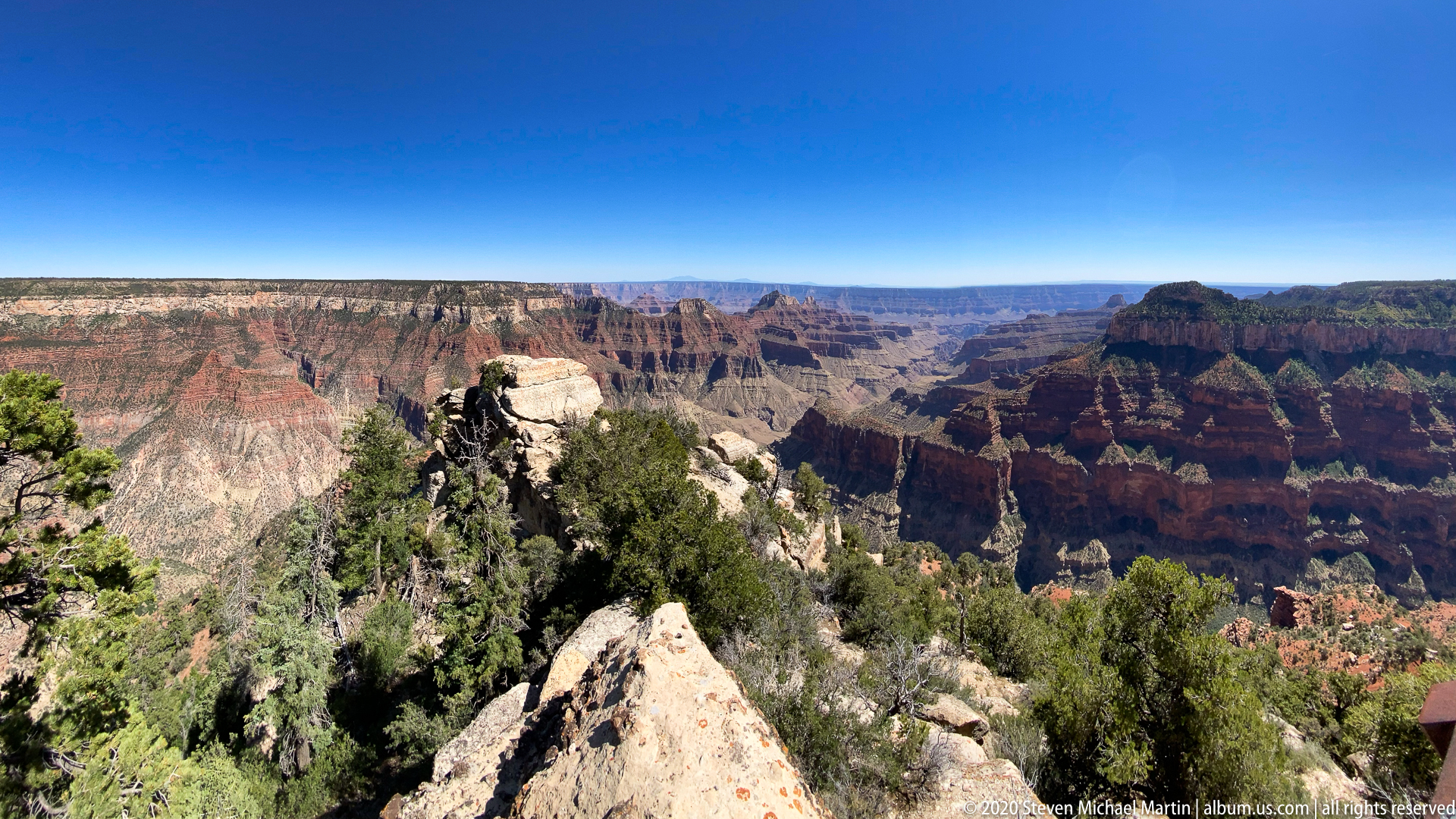
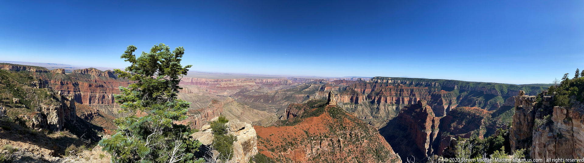
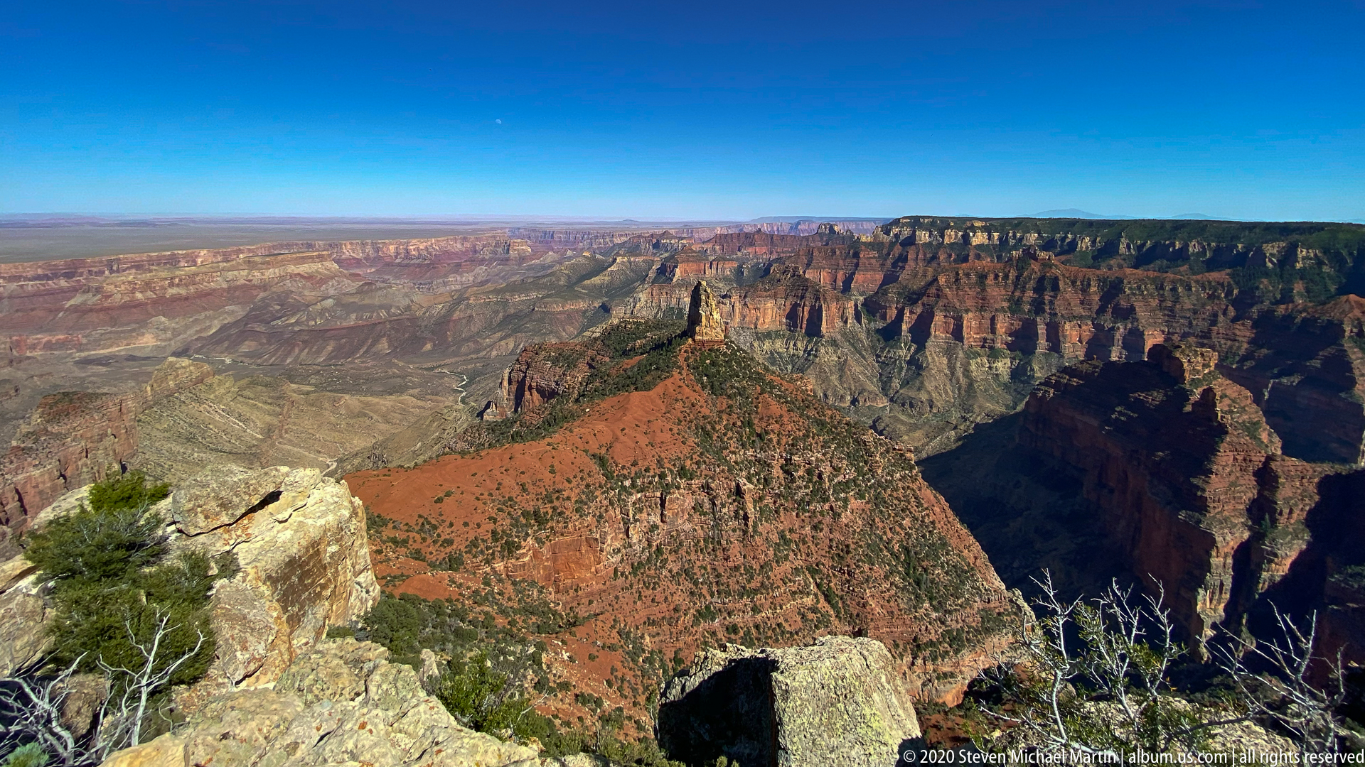
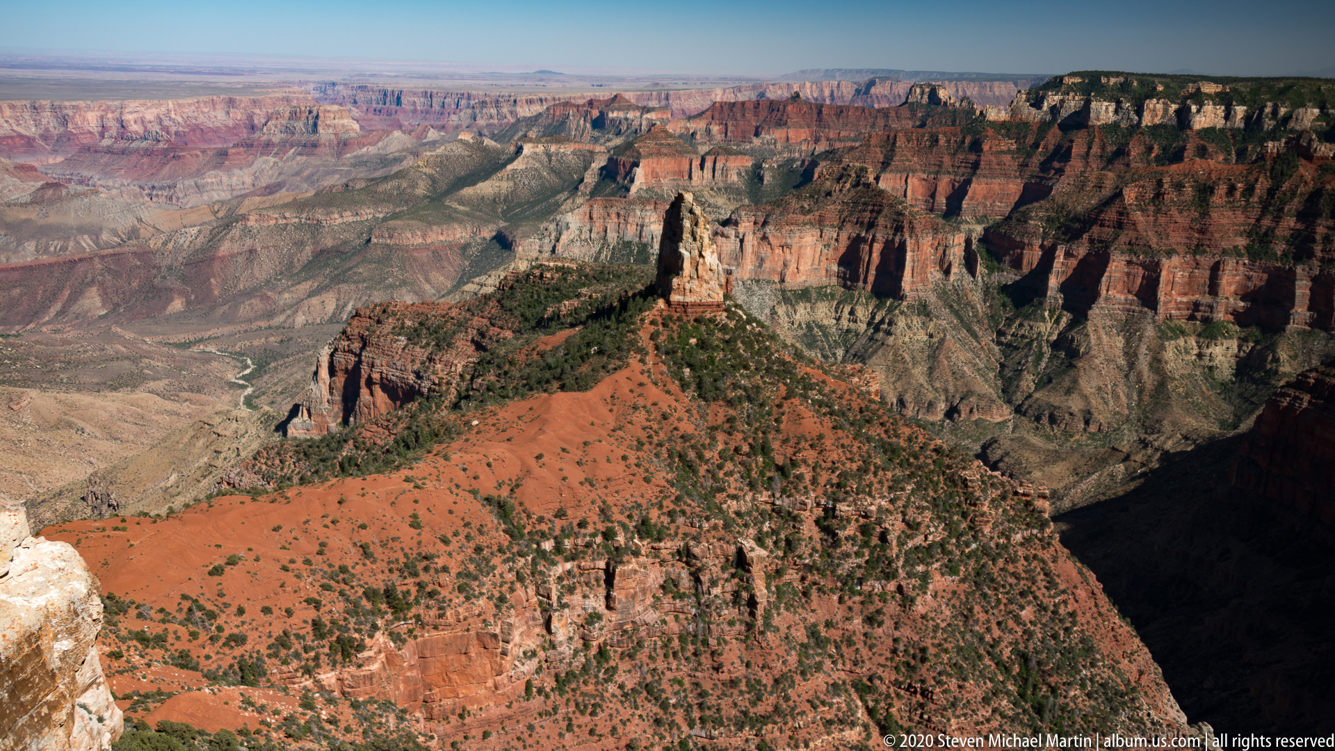
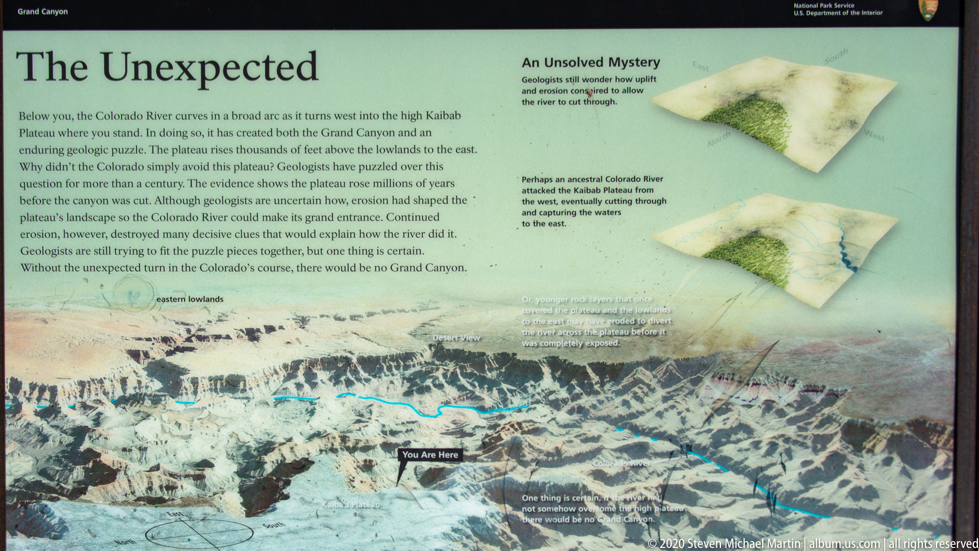
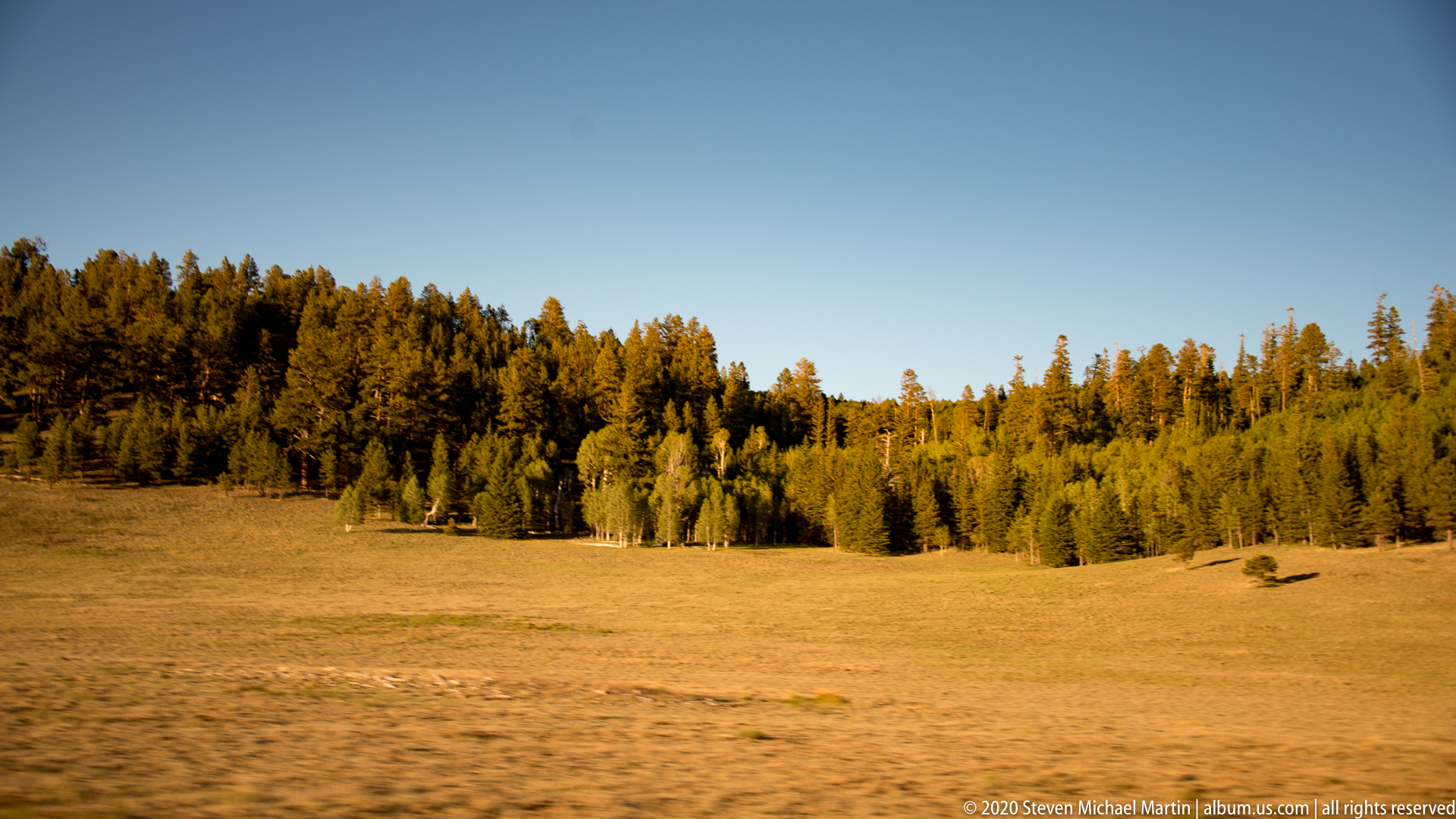
The North Rim of Grand Canyon National Park provides elevated views into one of the most recognizable canyon systems in the world. The canyon was formed by long-term erosion of uplifted sedimentary rock layers by the Colorado River, exposing geological strata that record hundreds of millions of years of Earth’s history. The North Rim’s higher elevation contributes to a cooler climate and a different ecological environment compared to other portions of the canyon.
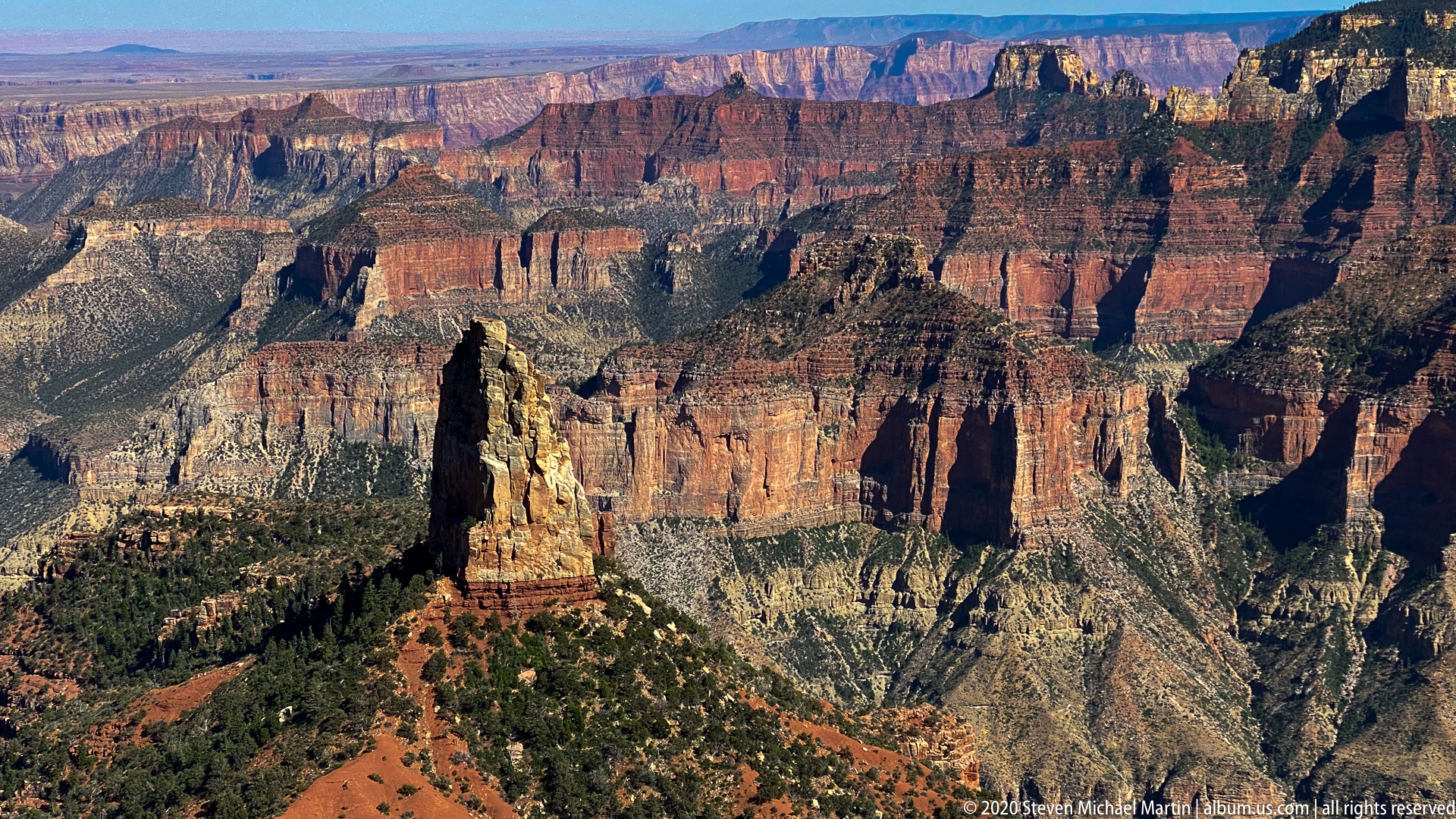
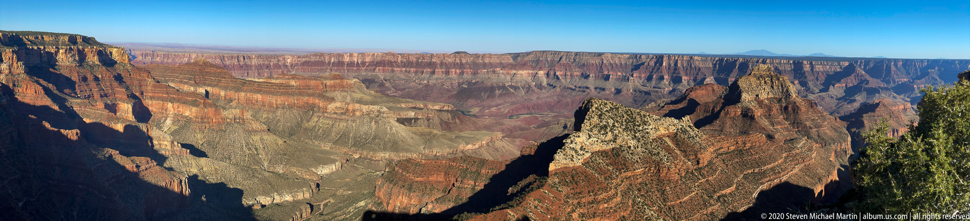
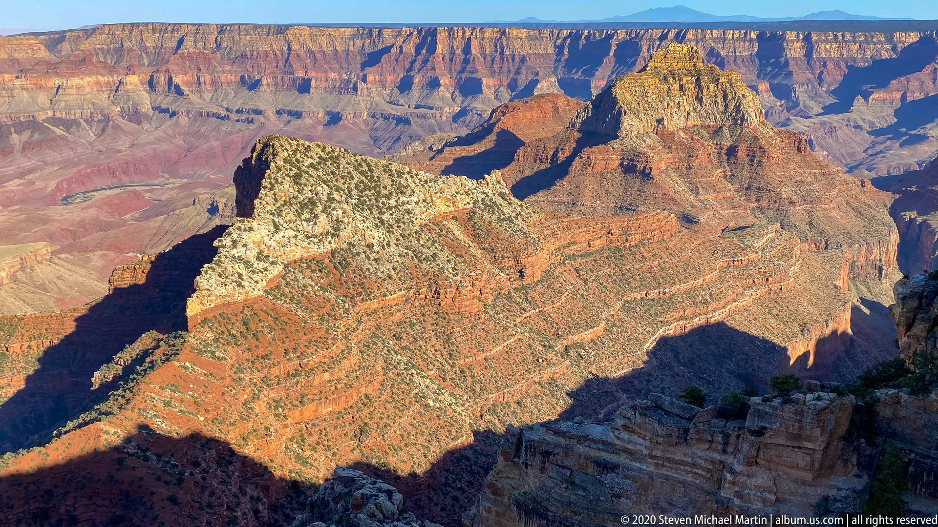
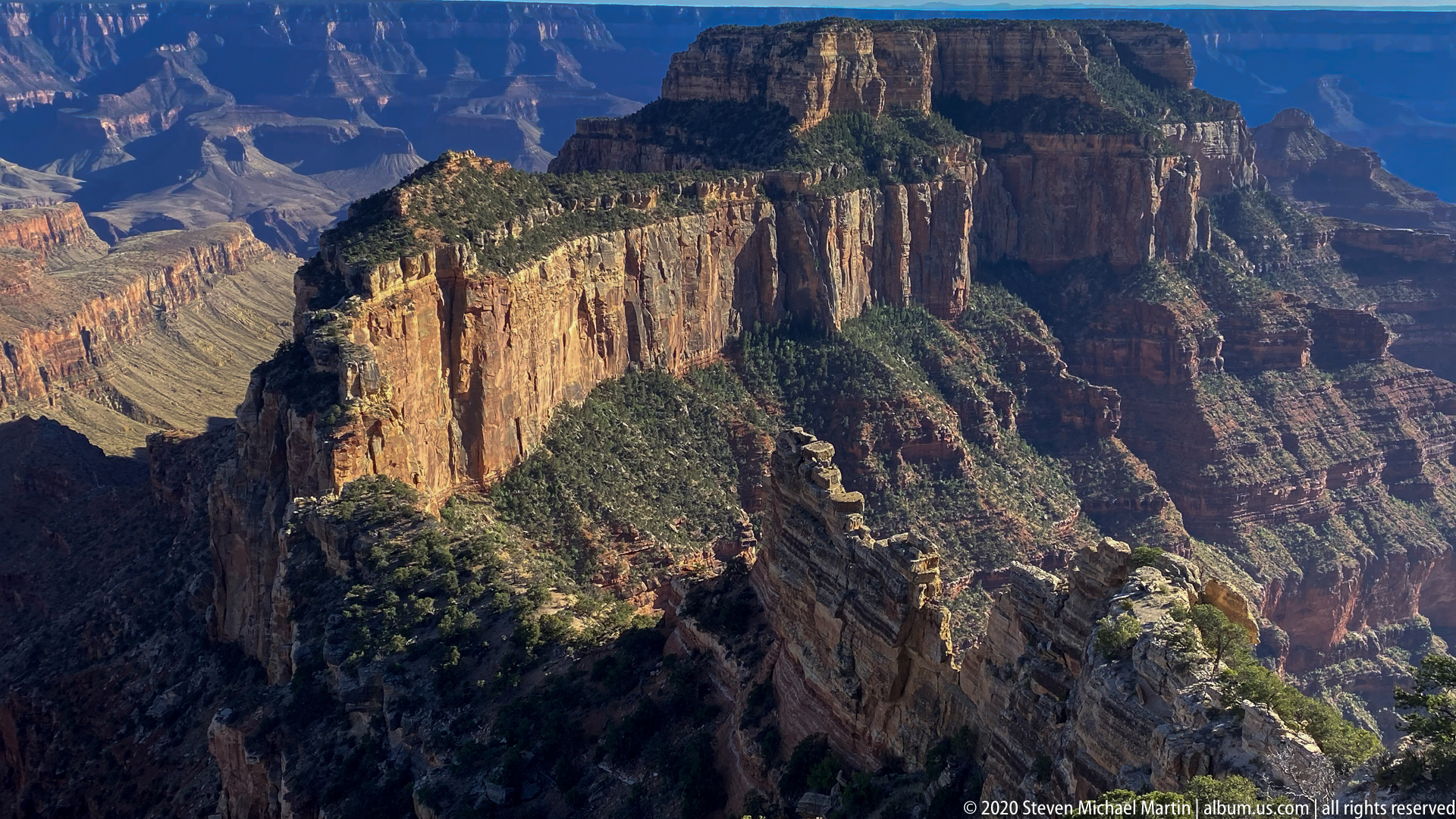
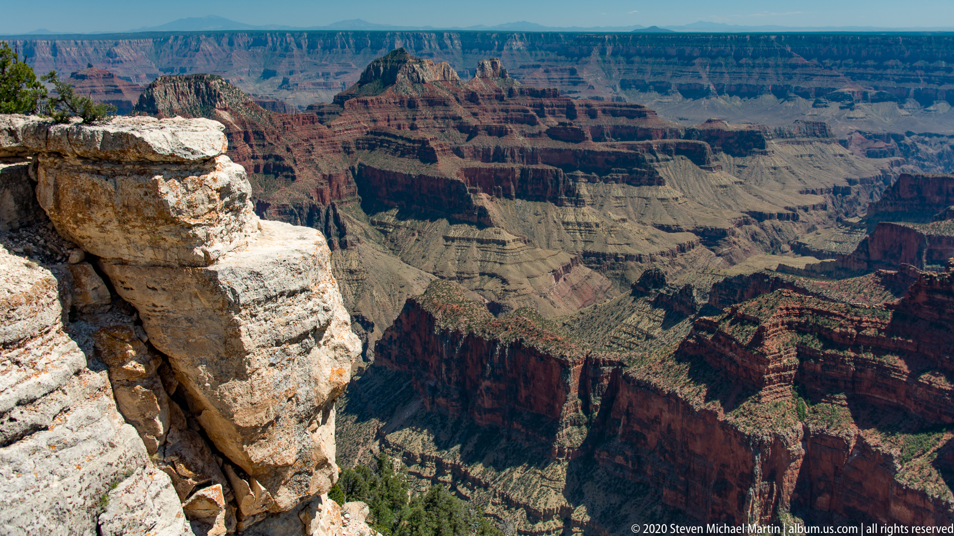
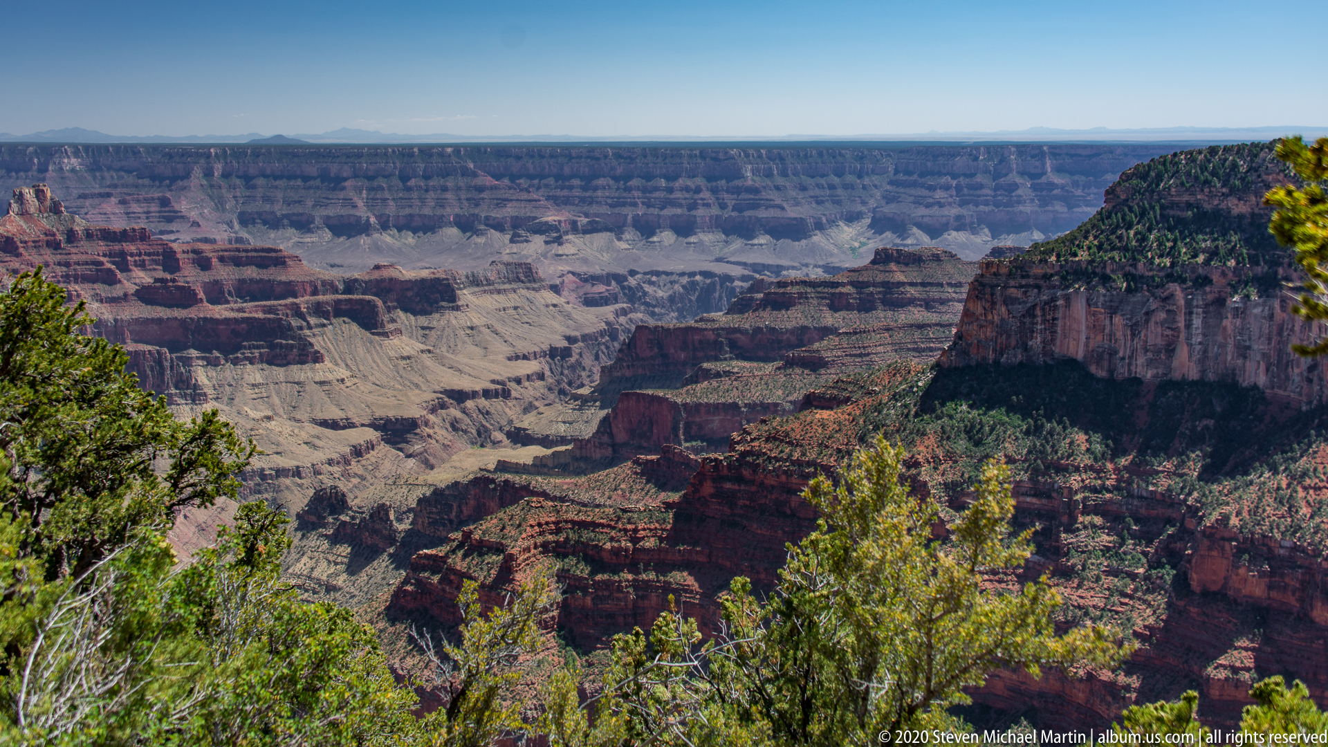
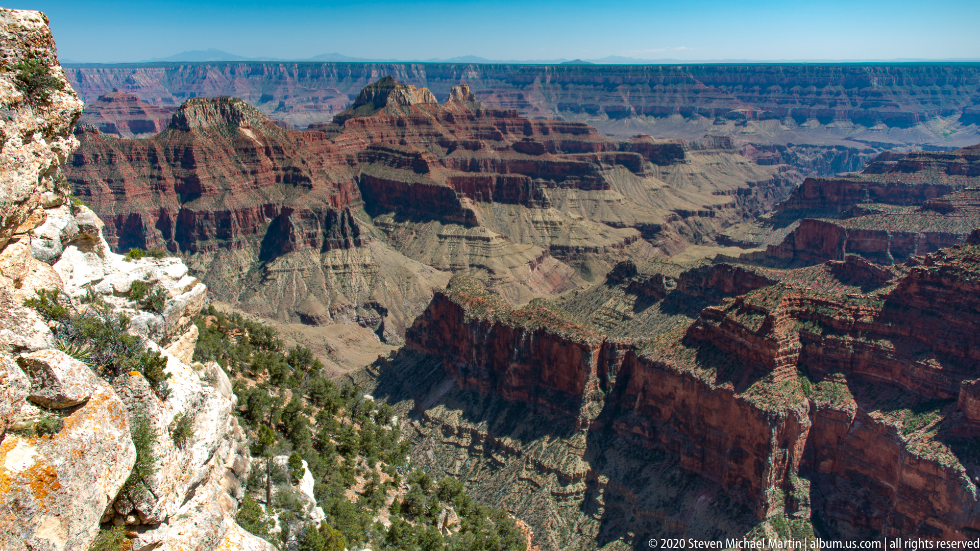
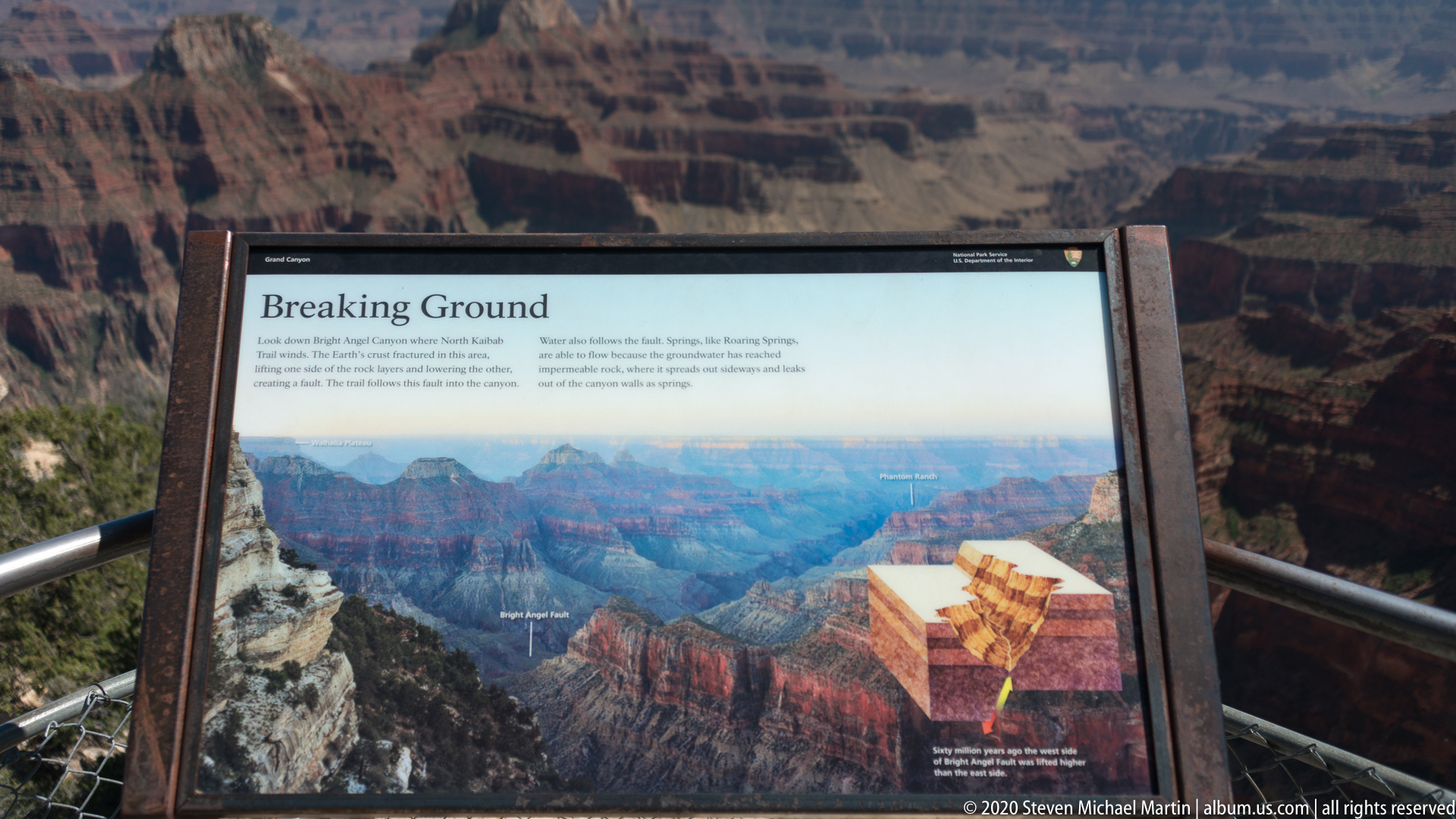
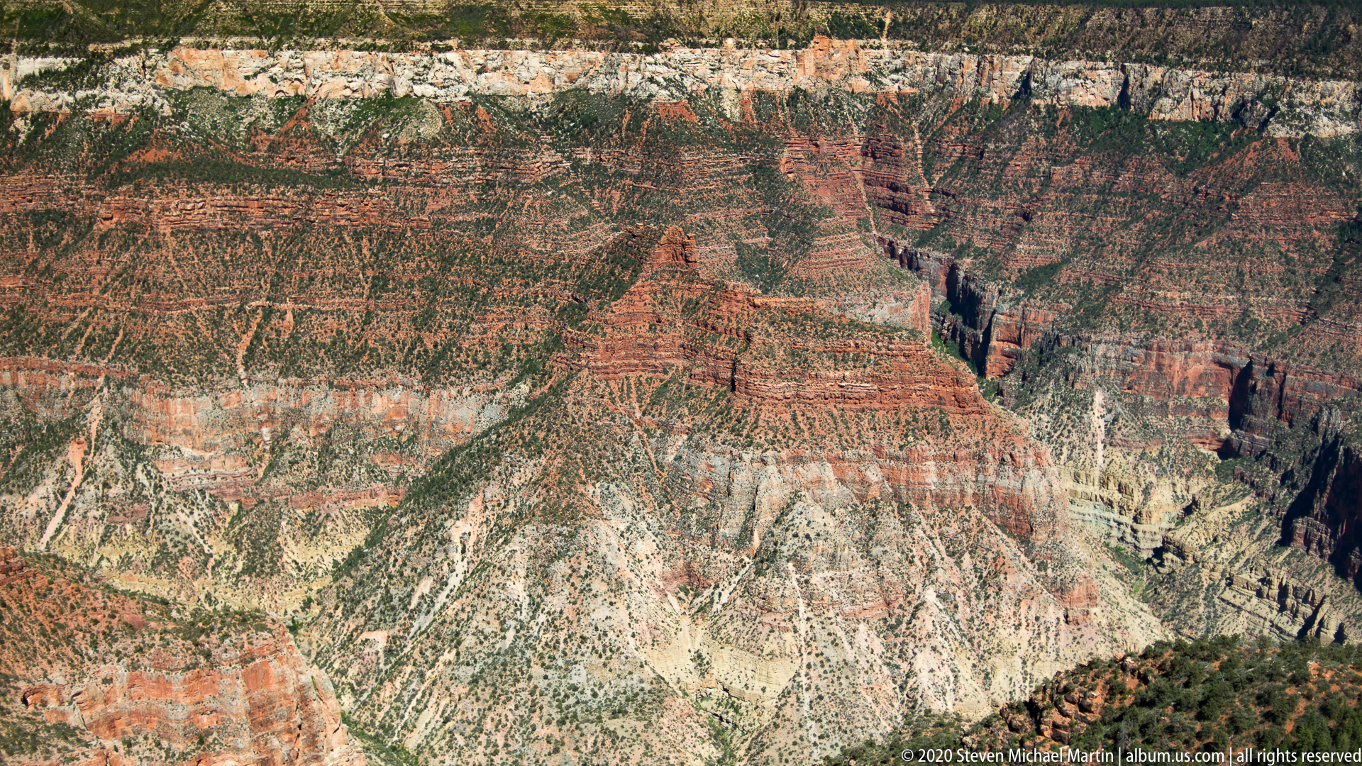
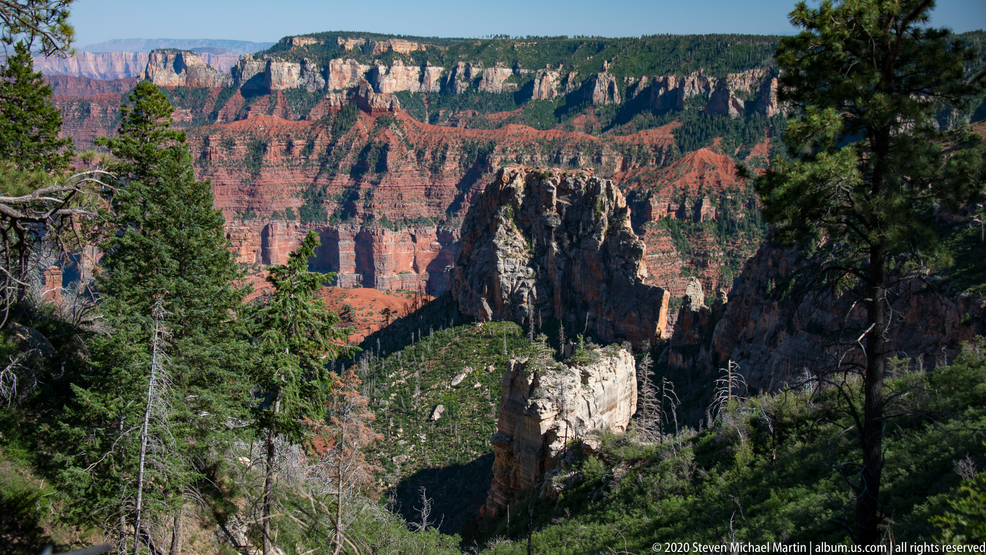
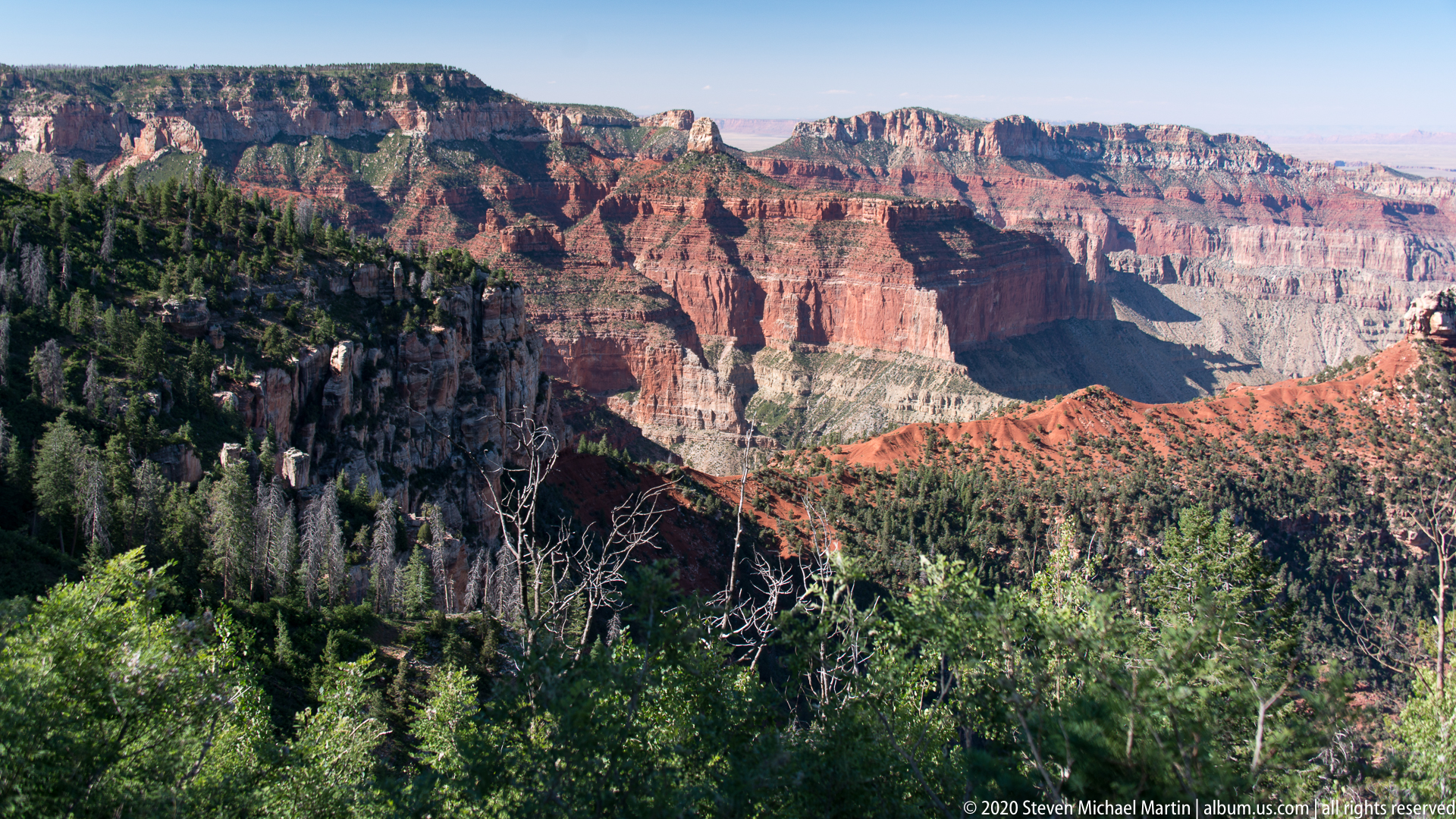
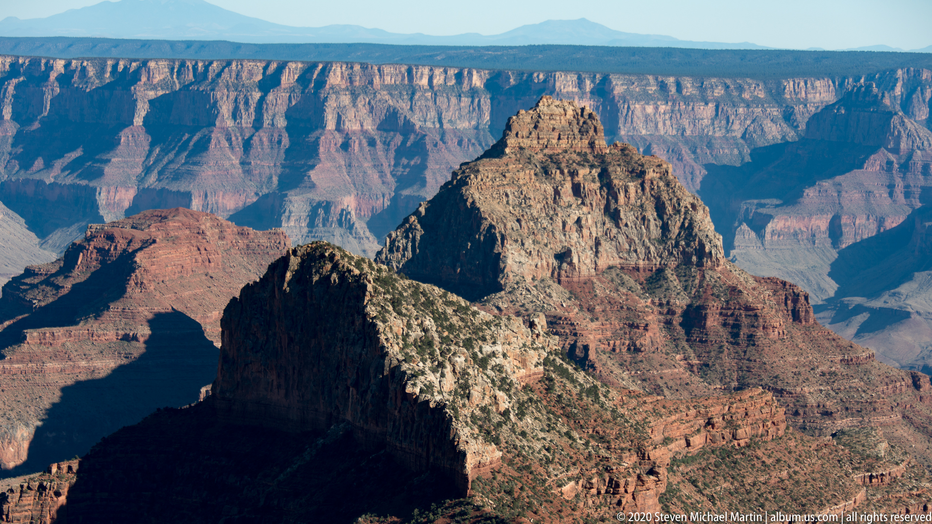
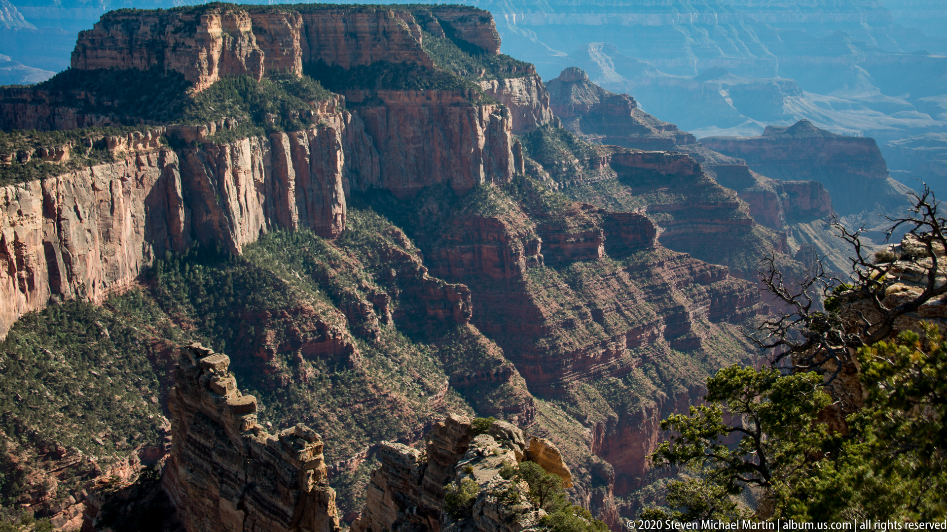
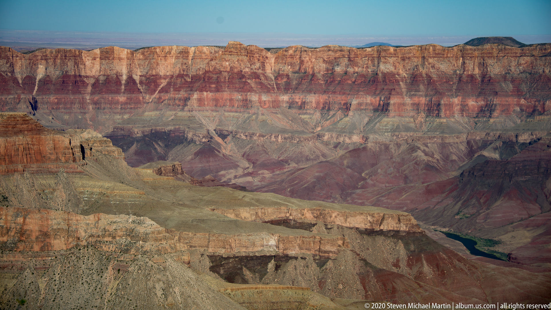
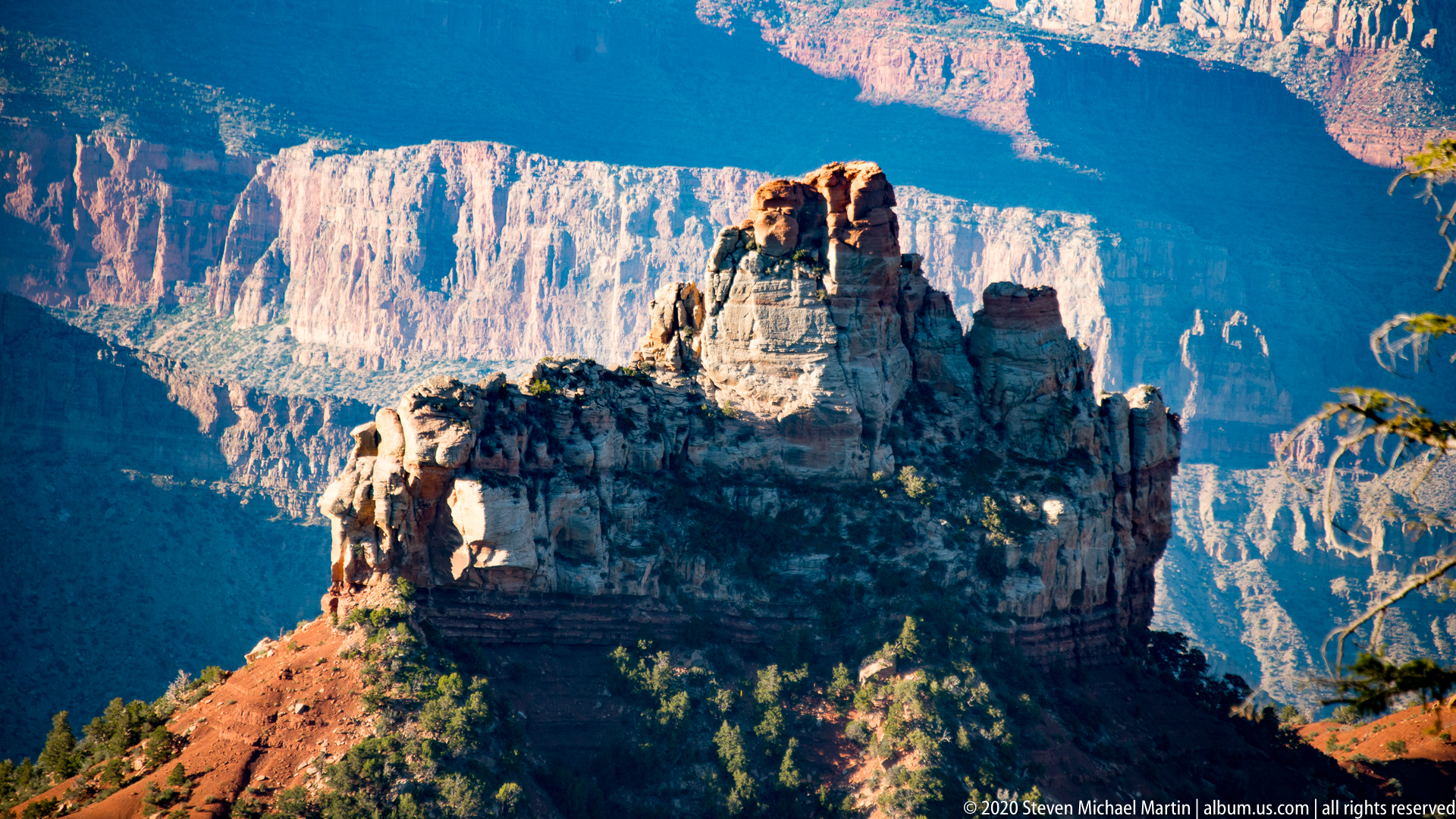
Layered rock formations reveal variations in mineral composition and deposition associated with prehistoric inland seas, deserts, and river systems. The canyon’s immense depth illustrates the interaction between tectonic uplift and river erosion that gradually shaped the landscape. The North Rim perspective emphasizes the vertical scale and complexity of the canyon’s geological structure.
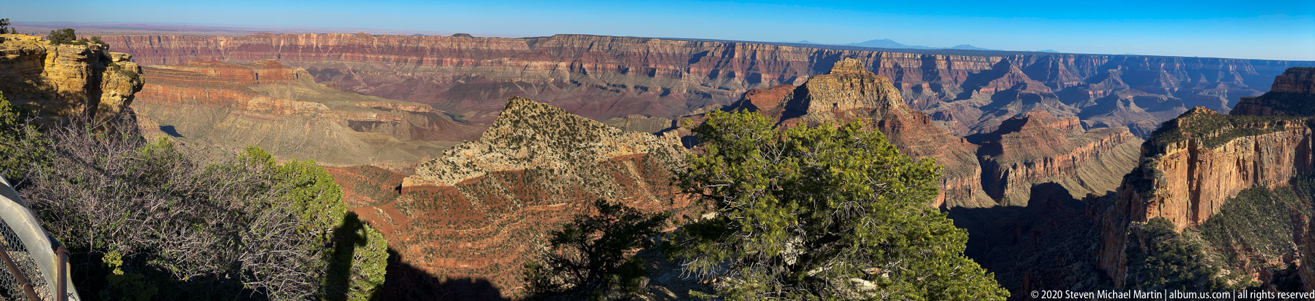
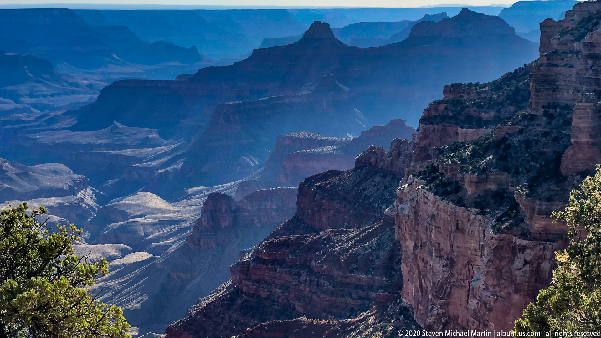
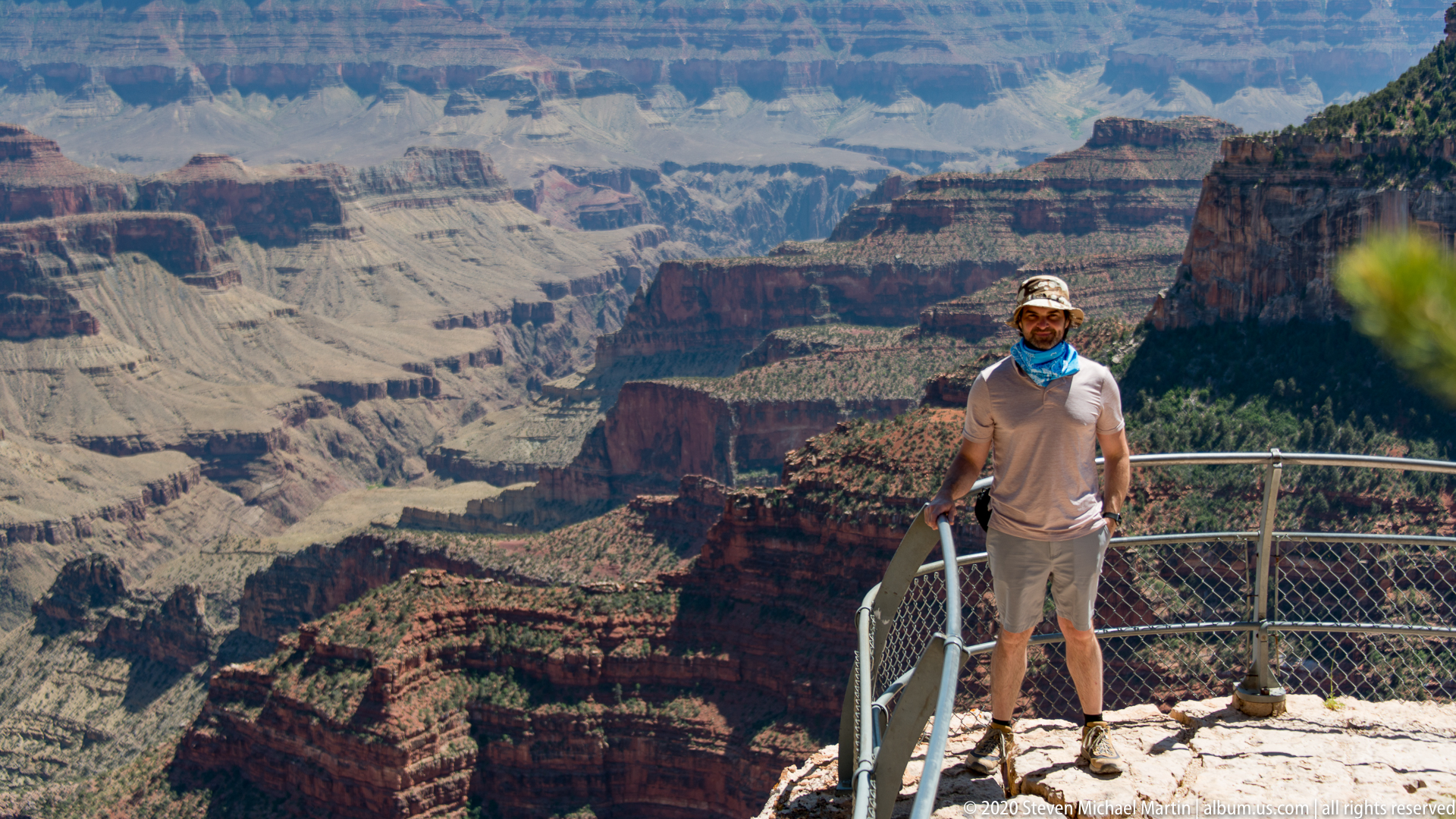
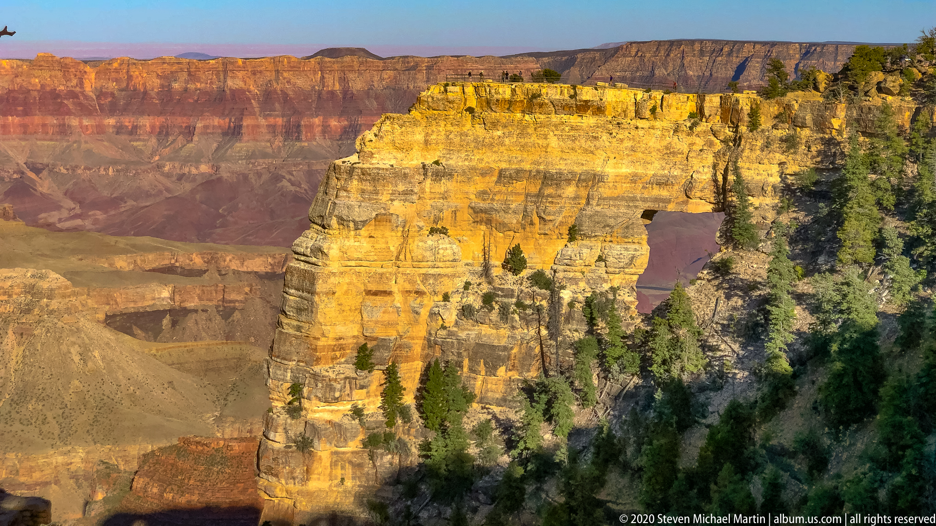
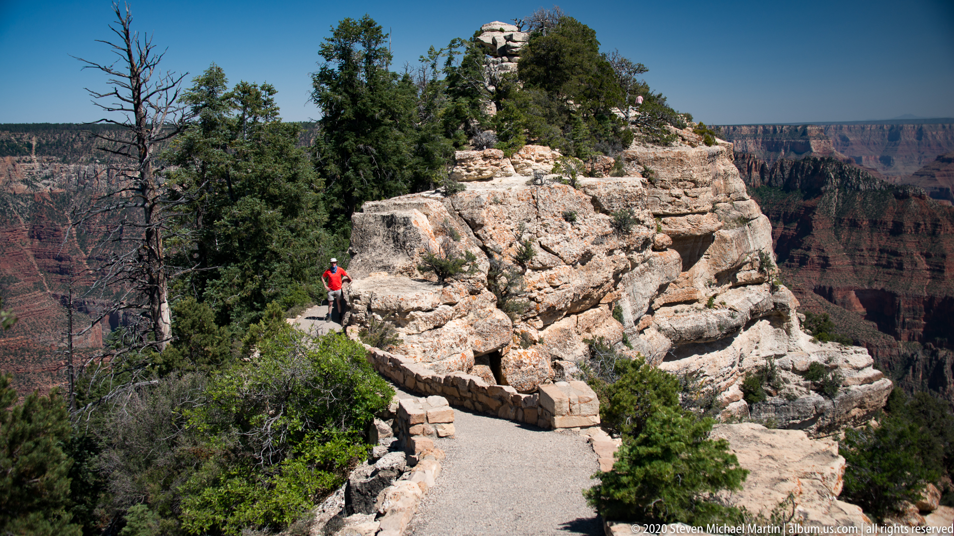
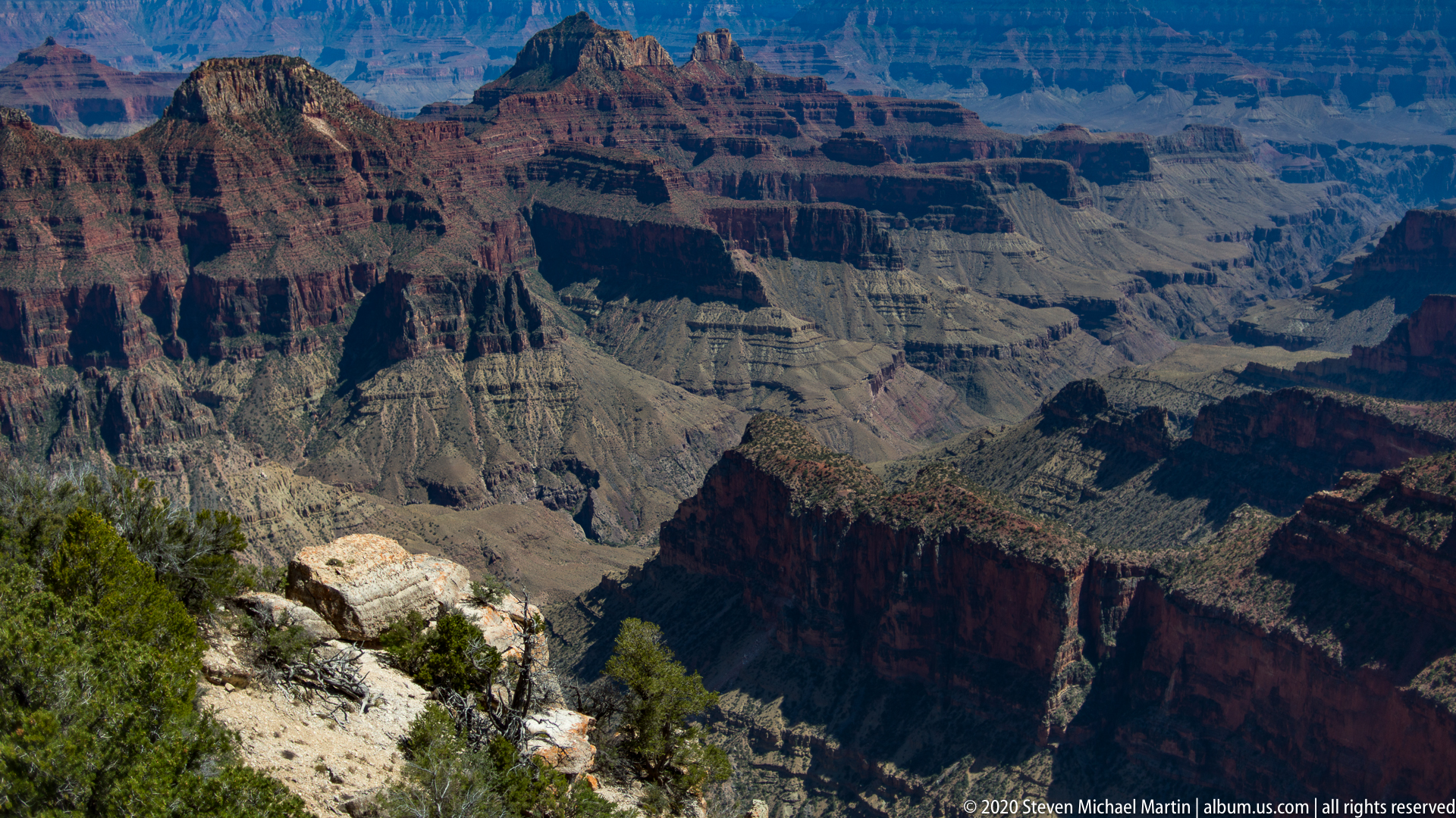
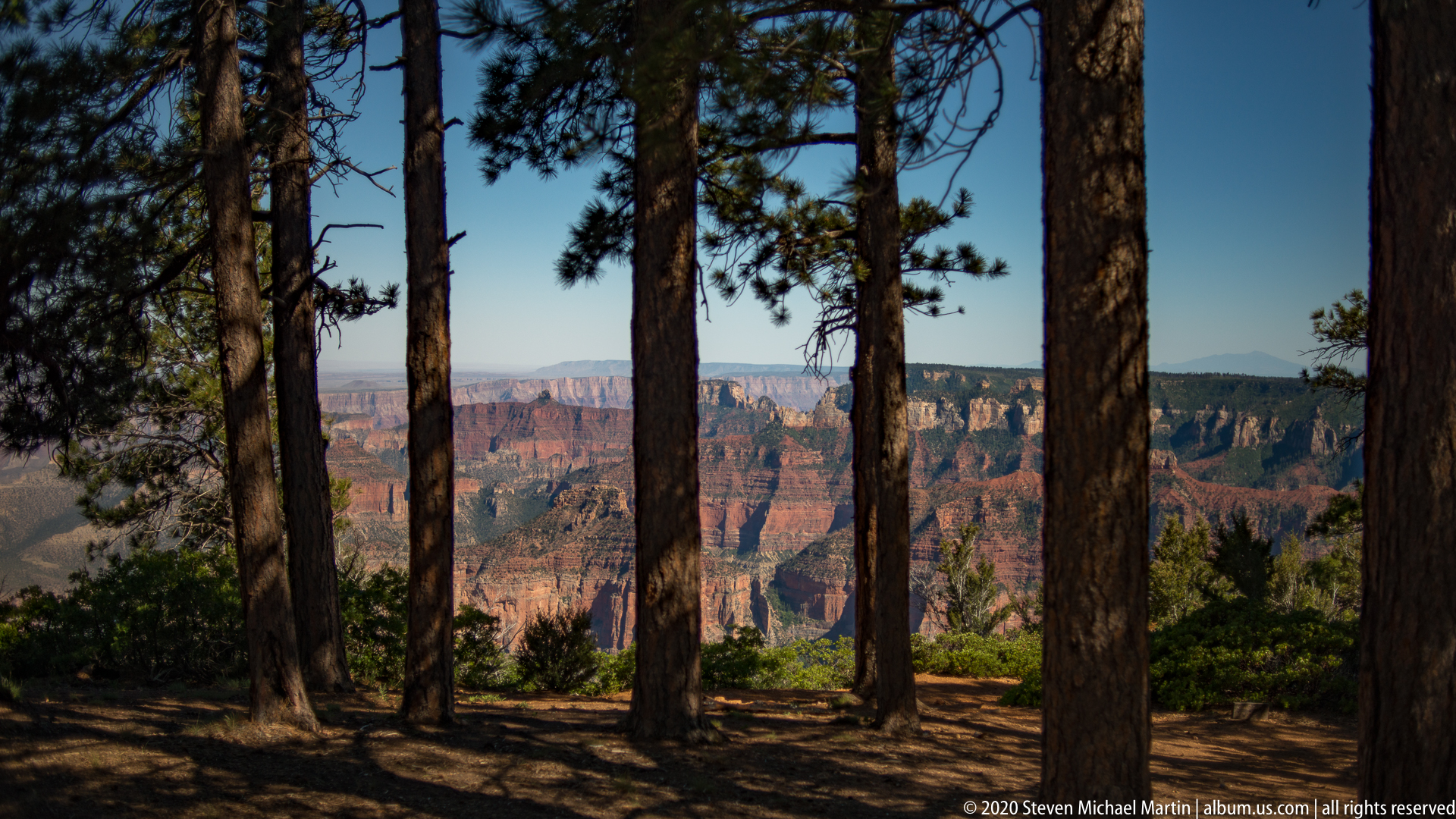
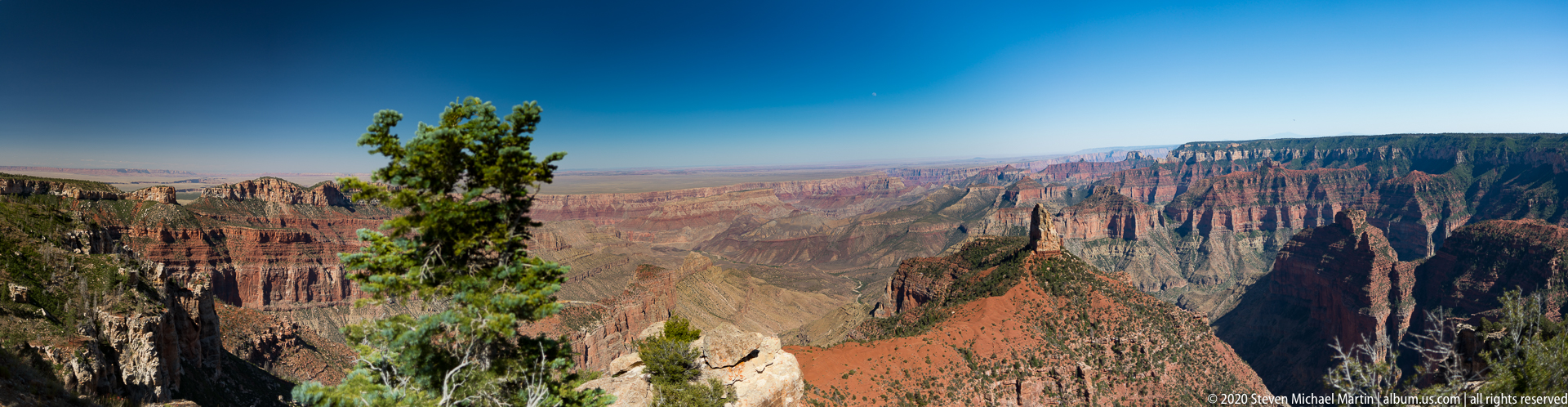
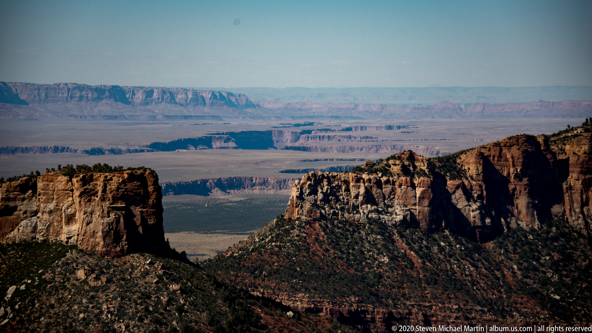
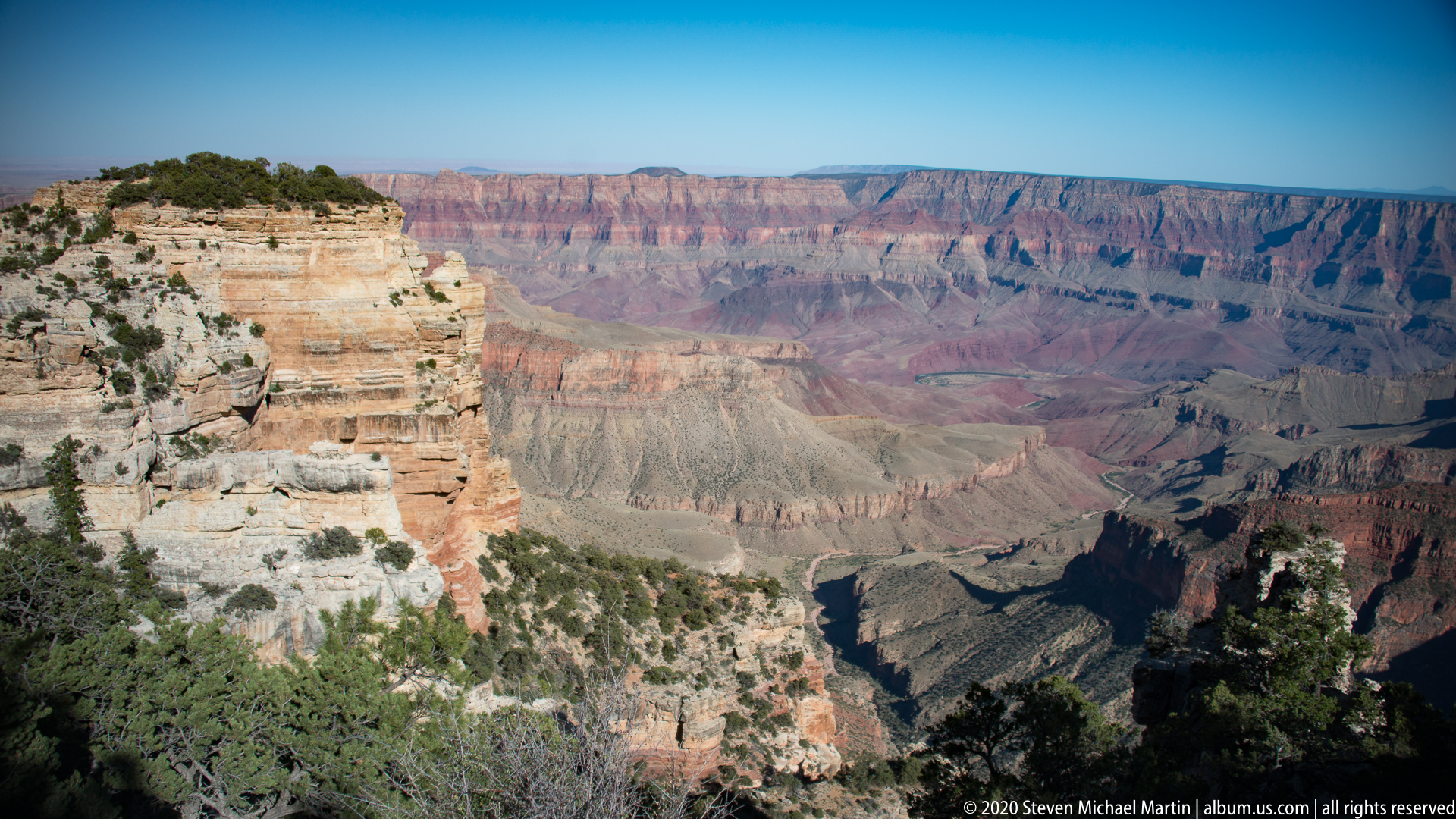
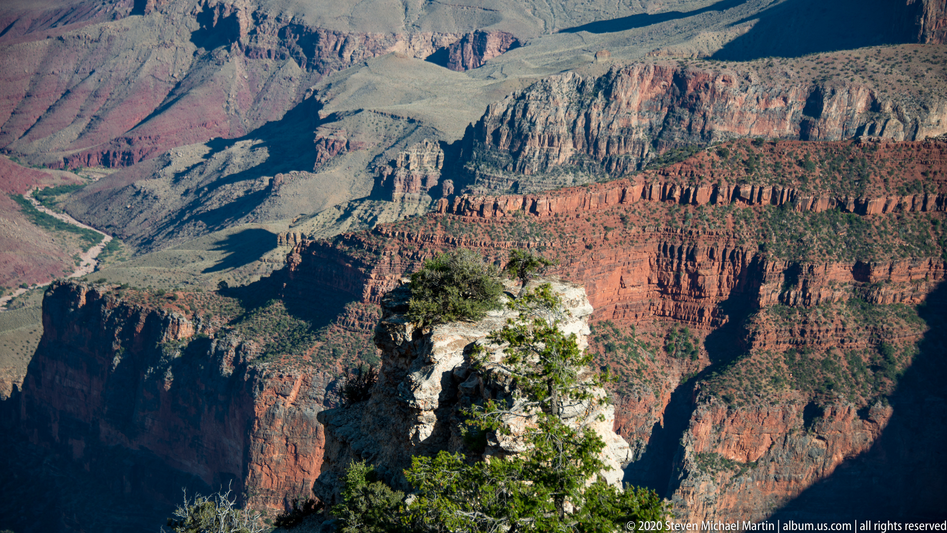
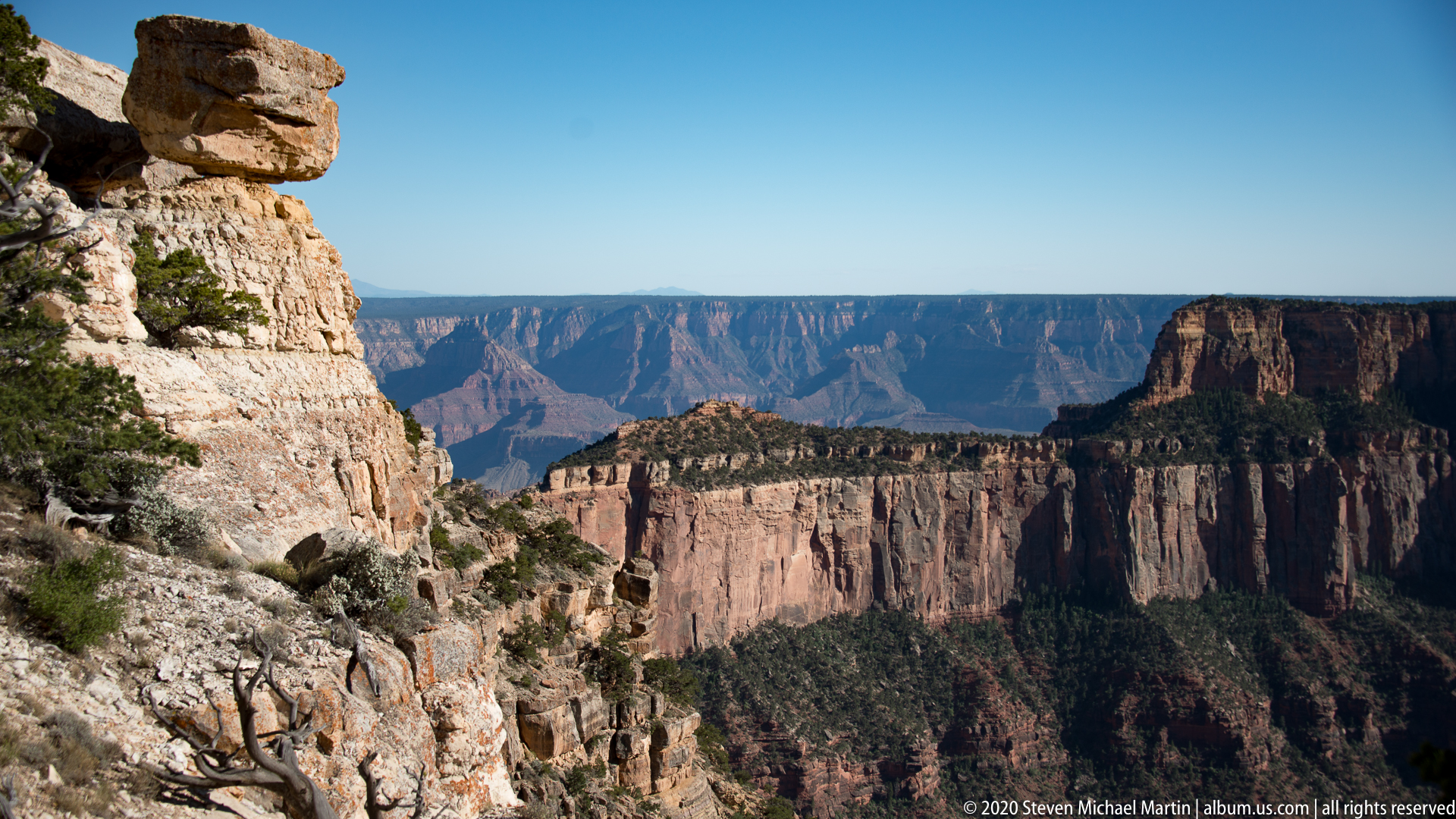
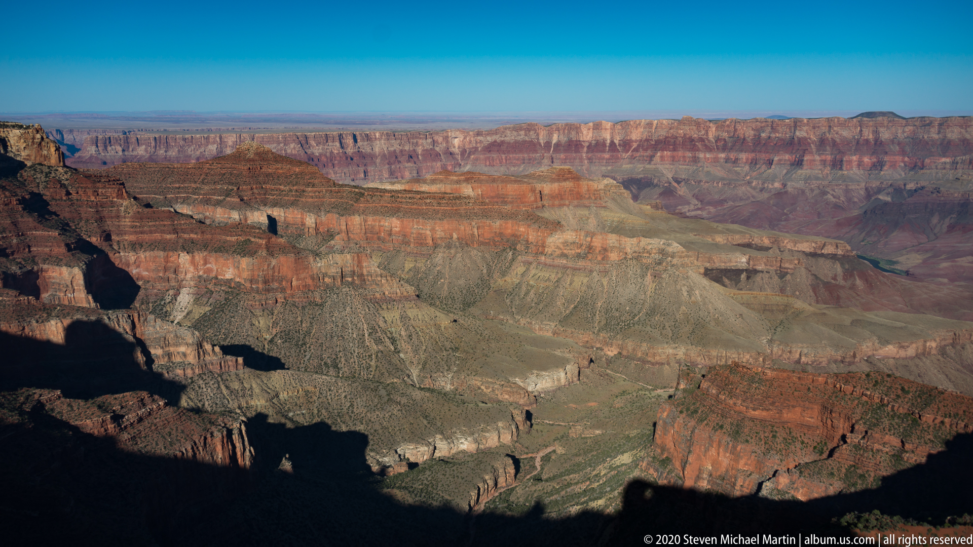
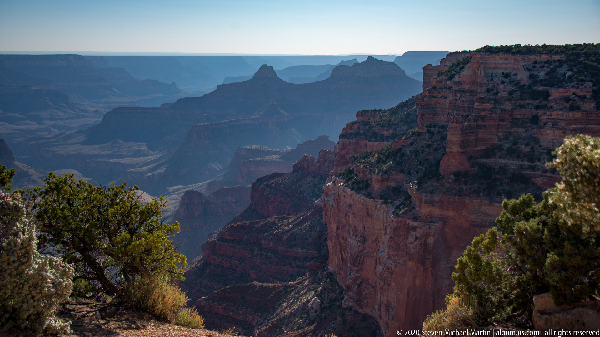
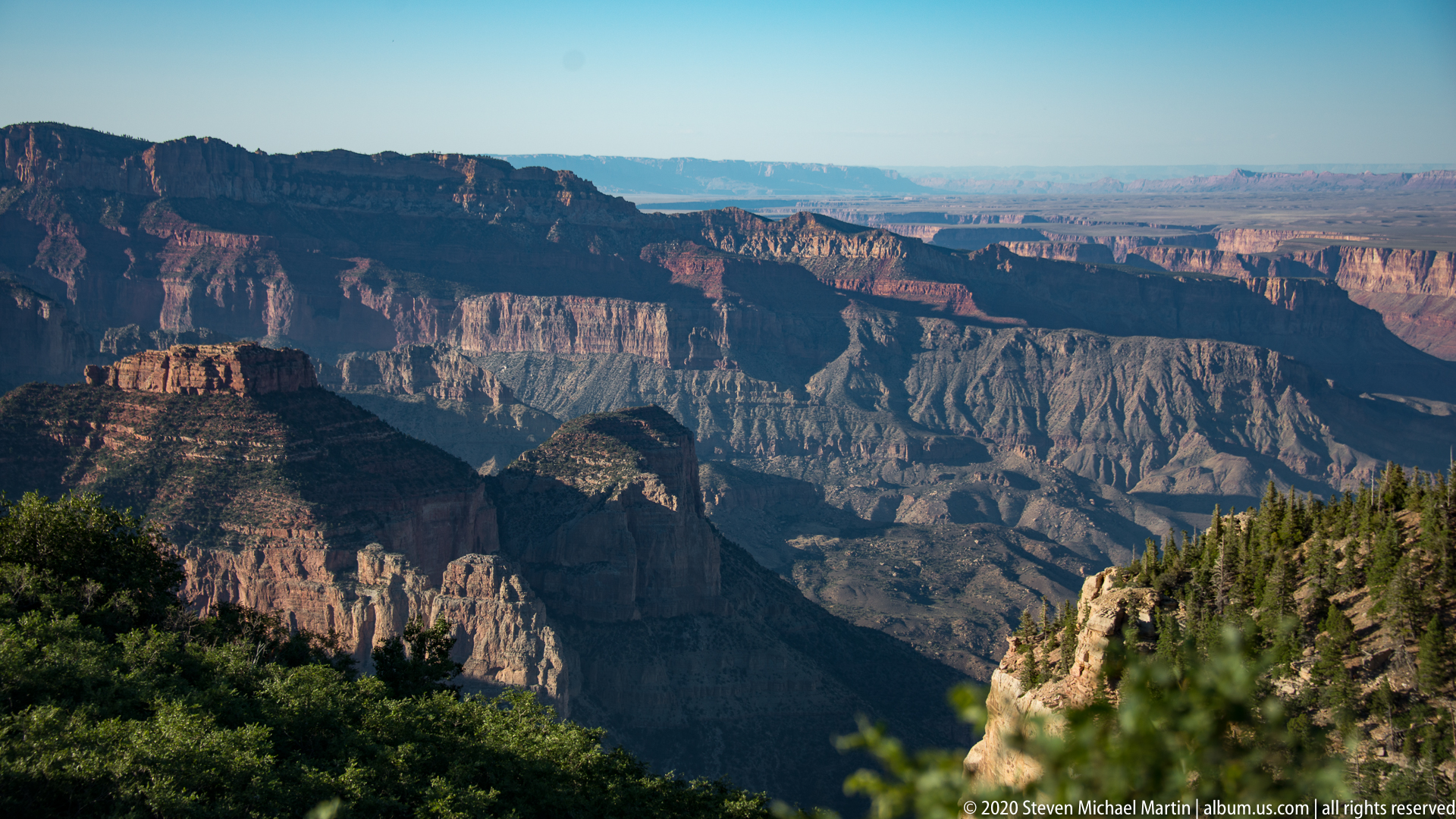
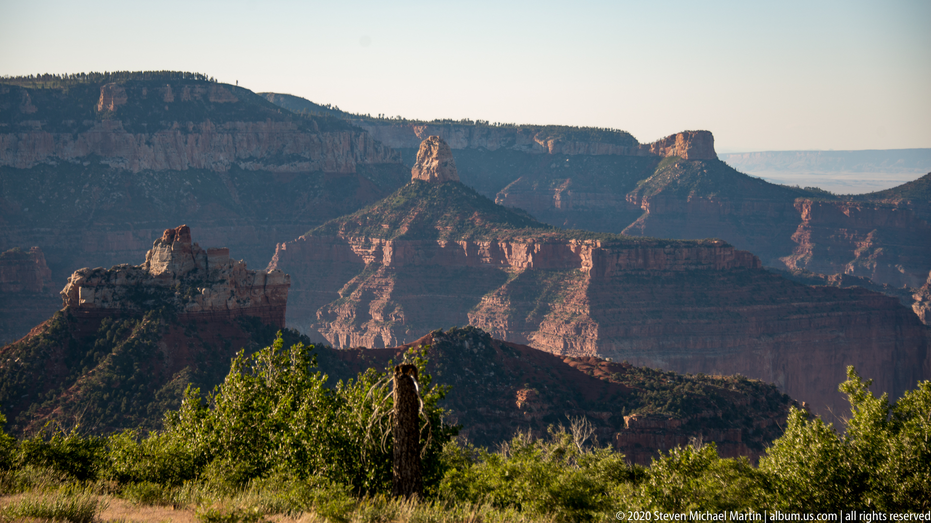
Visitors encounter sweeping views that highlight the immense scale of the canyon and the interplay of light and shadow across rock layers. The relative remoteness of the North Rim contributes to a quieter viewing experience that emphasizes the geological significance of the Colorado River corridor.







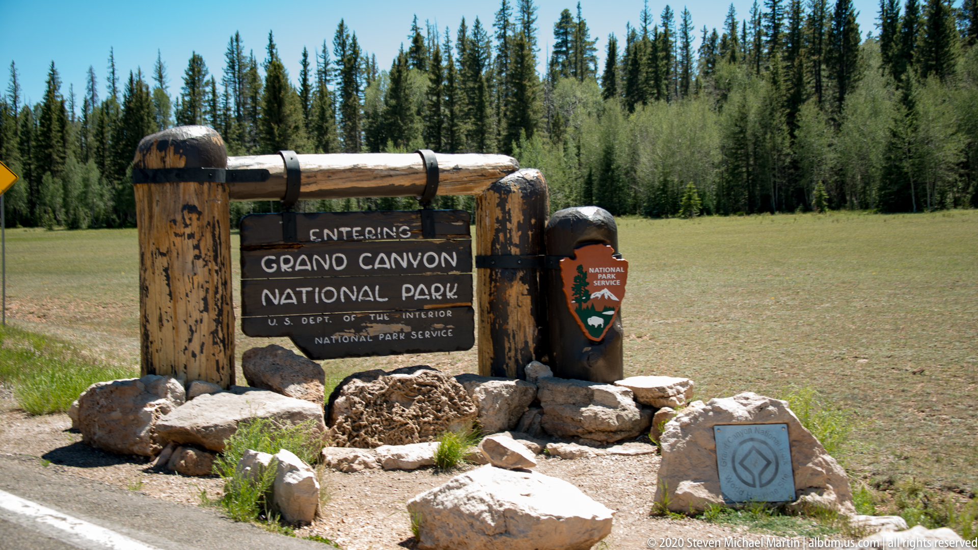
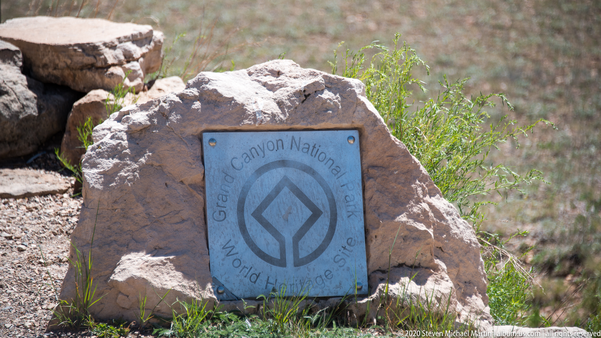
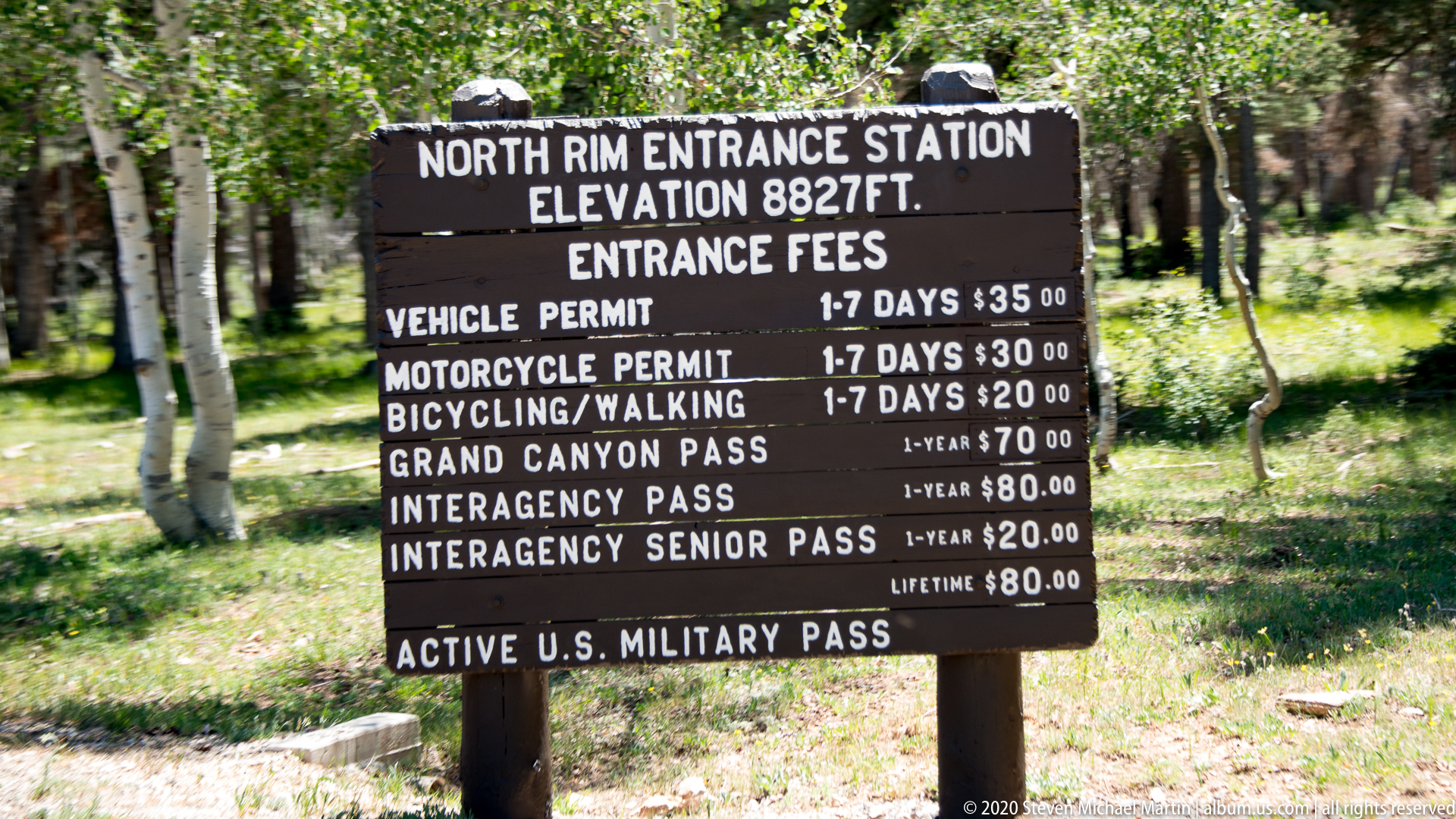
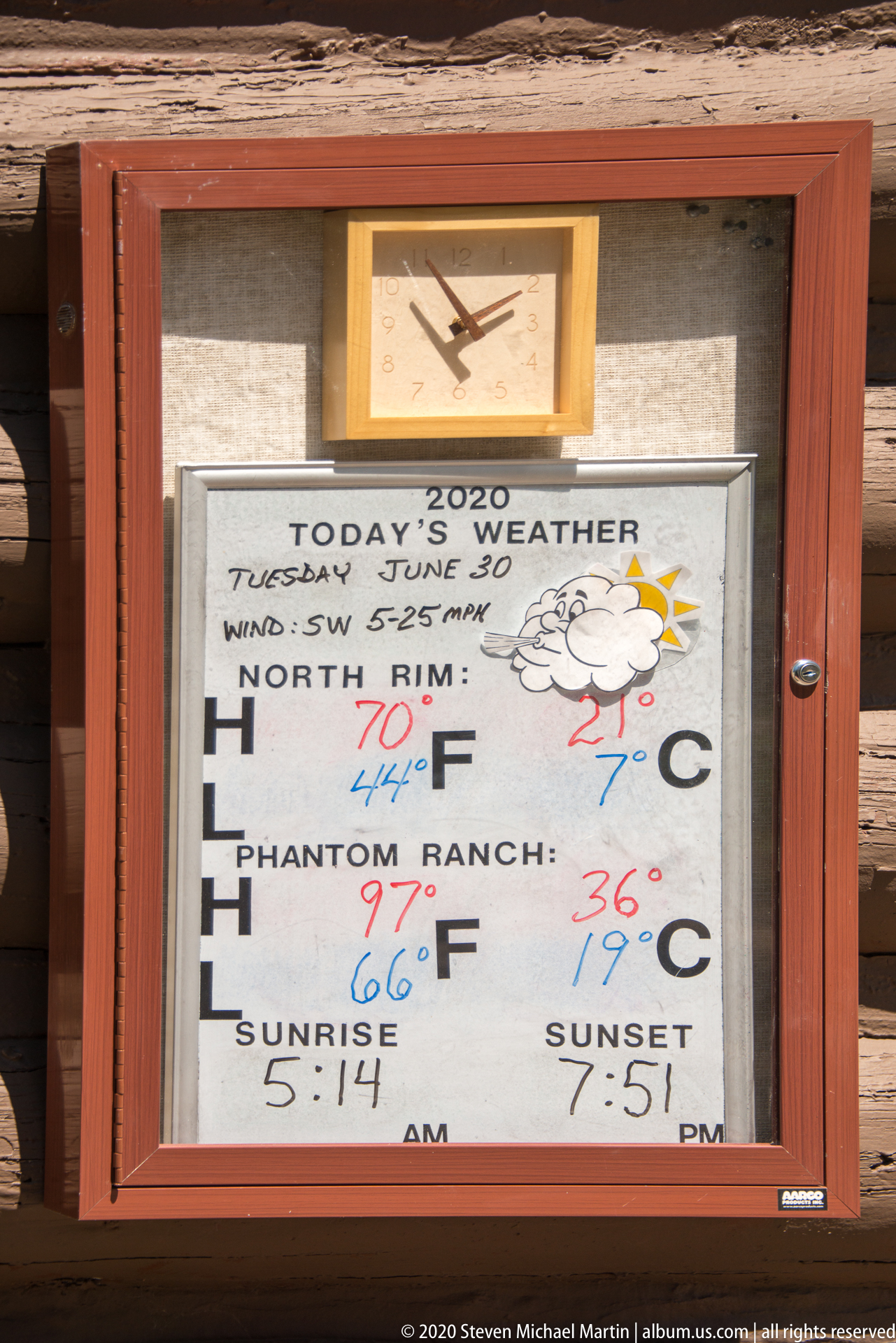






































Grand Canyon National Park — Field Guide
National Park Field Guide
📍 Overview
Grand Canyon National Park preserves one of the most recognizable geological landscapes in the world, formed through long-term erosion of uplifted sedimentary rock layers by the Colorado River. The canyon exposes rock strata that record nearly two billion years of geological history, revealing changes in ancient environments ranging from marine settings to desert landscapes. The immense scale of the canyon illustrates the combined influence of tectonic uplift and persistent river erosion.
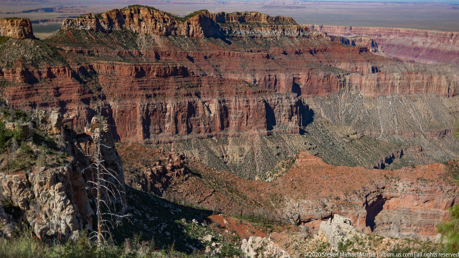
Layered cliffs composed of limestone, sandstone, and shale reveal distinct color bands that reflect variations in mineral composition and depositional history. The canyon continues to evolve as water, wind, and weathering gradually reshape exposed rock surfaces. Differences in elevation across the North and South Rims create varied ecological zones that support diverse plant communities adapted to changing climatic conditions.
⭐ Highlights
- Colorado River canyon system spanning immense geological time
- Layered rock formations revealing prehistoric environments
- North Rim and South Rim viewpoints
- Deep canyon corridors carved through uplifted strata
- Colorado Plateau geological landscape
🔎 Key Features
- Exposed sedimentary rock layers spanning hundreds of millions of years
- Colorado River erosion shaping canyon depth
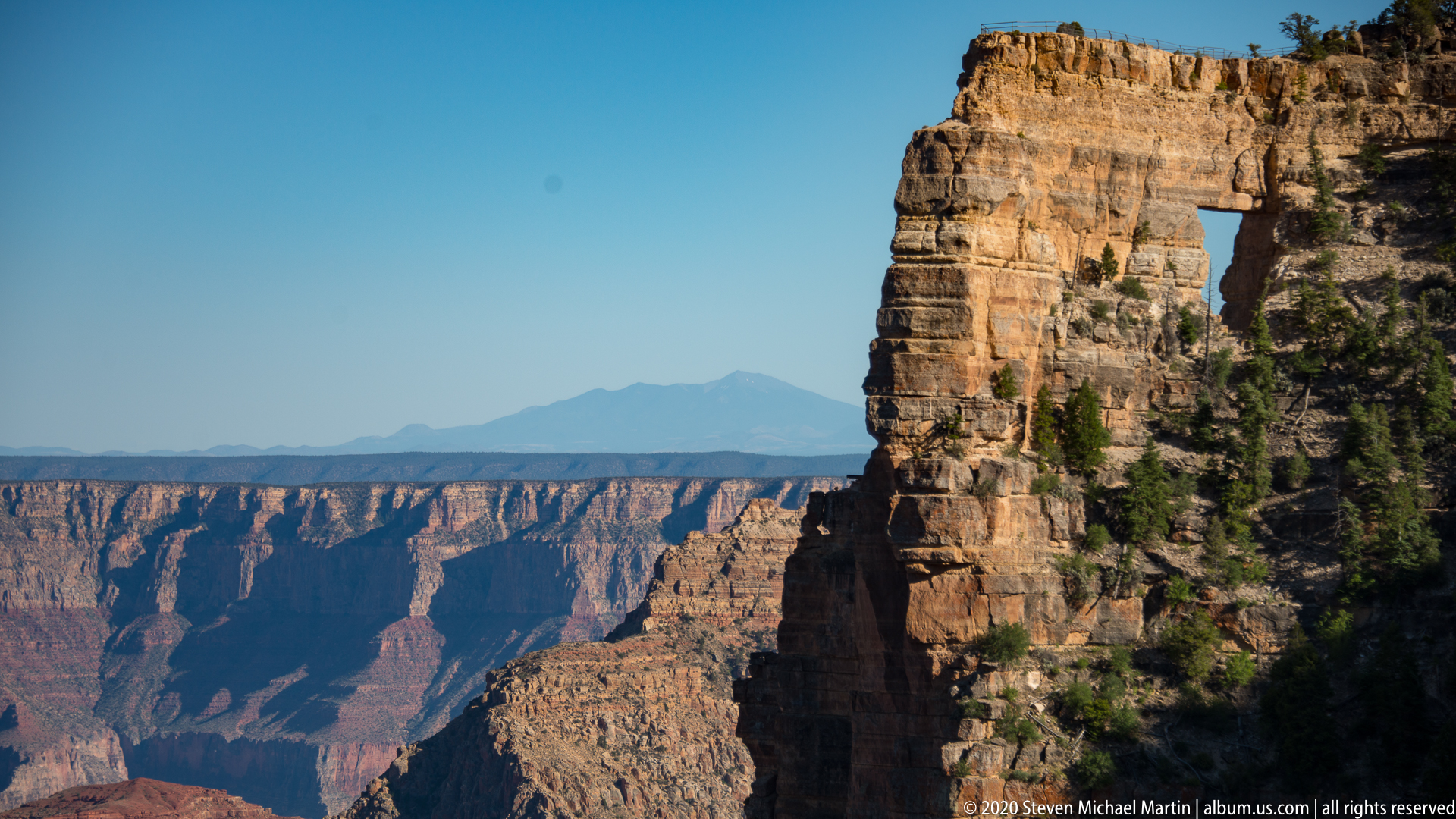
- Cliff formations influenced by differential weathering
- Variation in rock color reflecting mineral composition
- Large-scale canyon environment illustrating geological change
📷 Photography Notes
- Early and late light enhances color contrast in canyon walls
- Wide compositions help convey immense scale
- Layered rock bands create strong visual structure
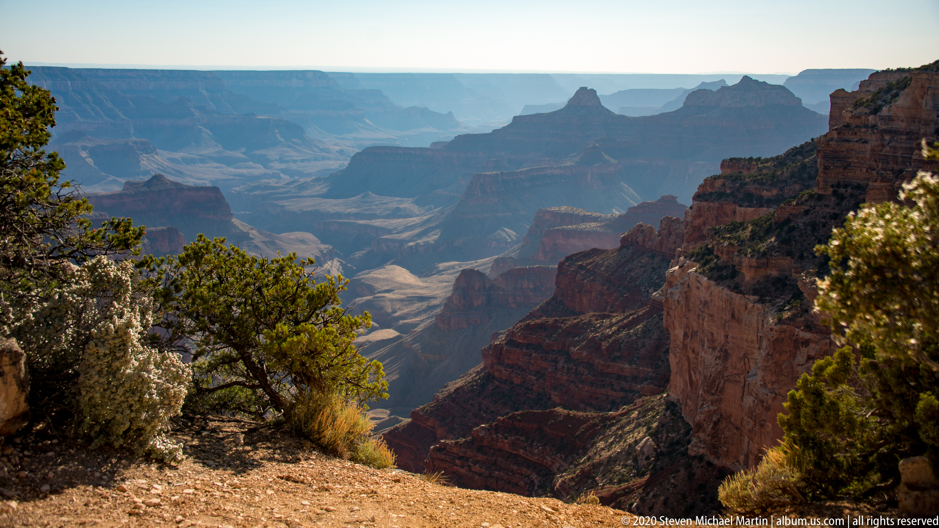
- Atmospheric haze can enhance depth perception
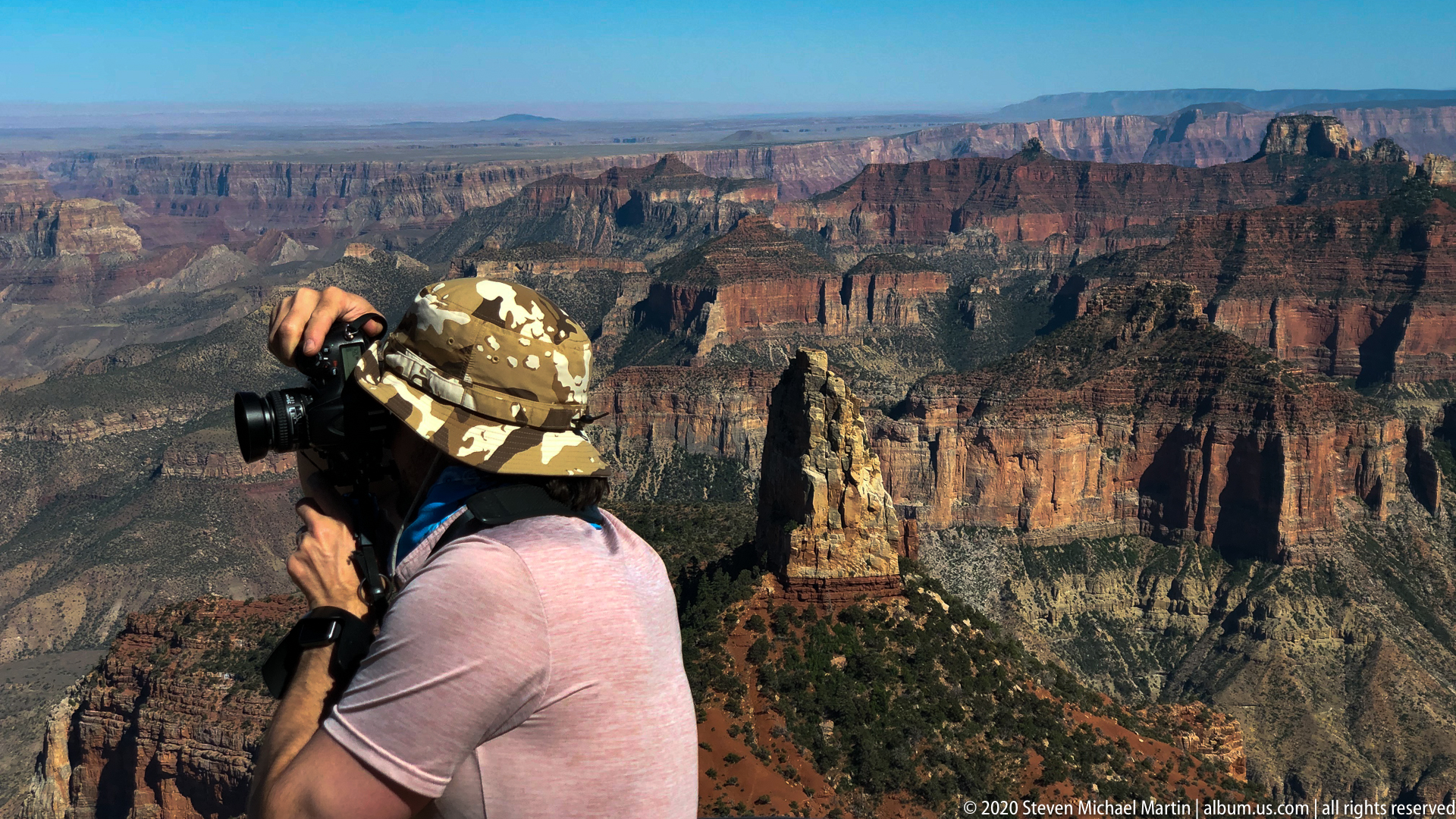
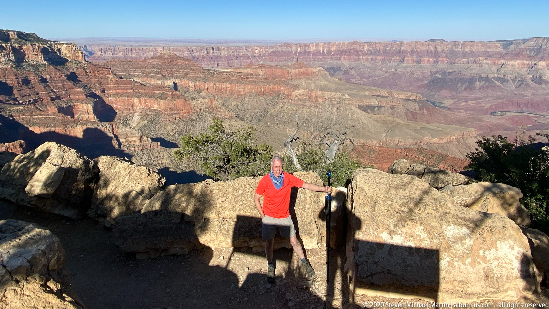
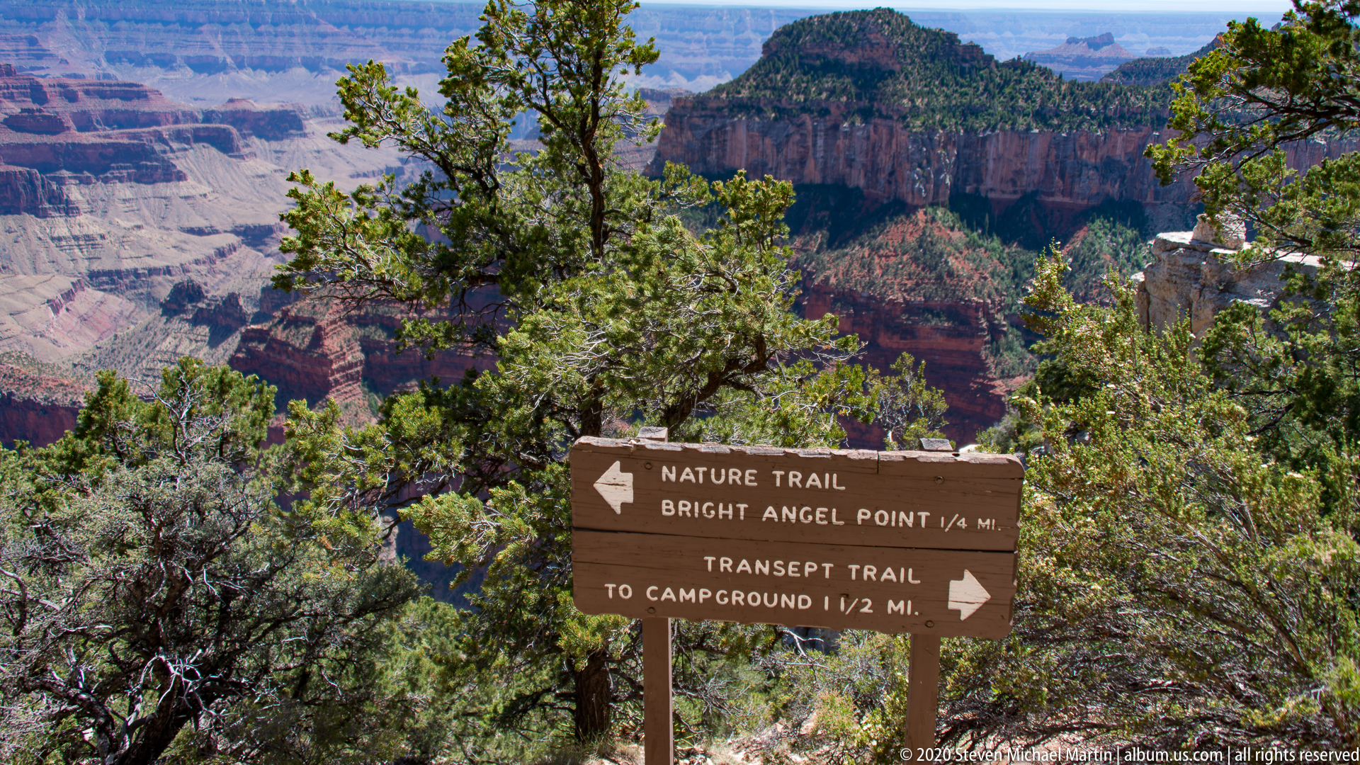
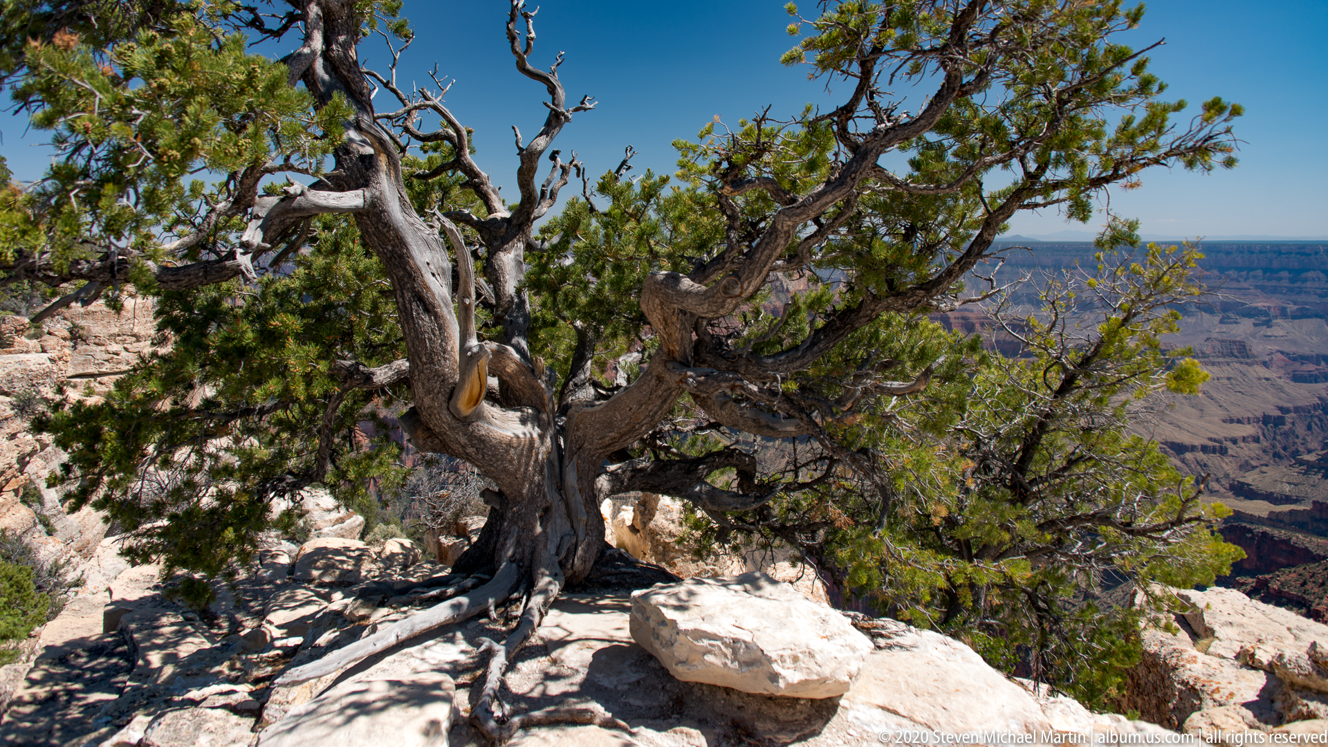
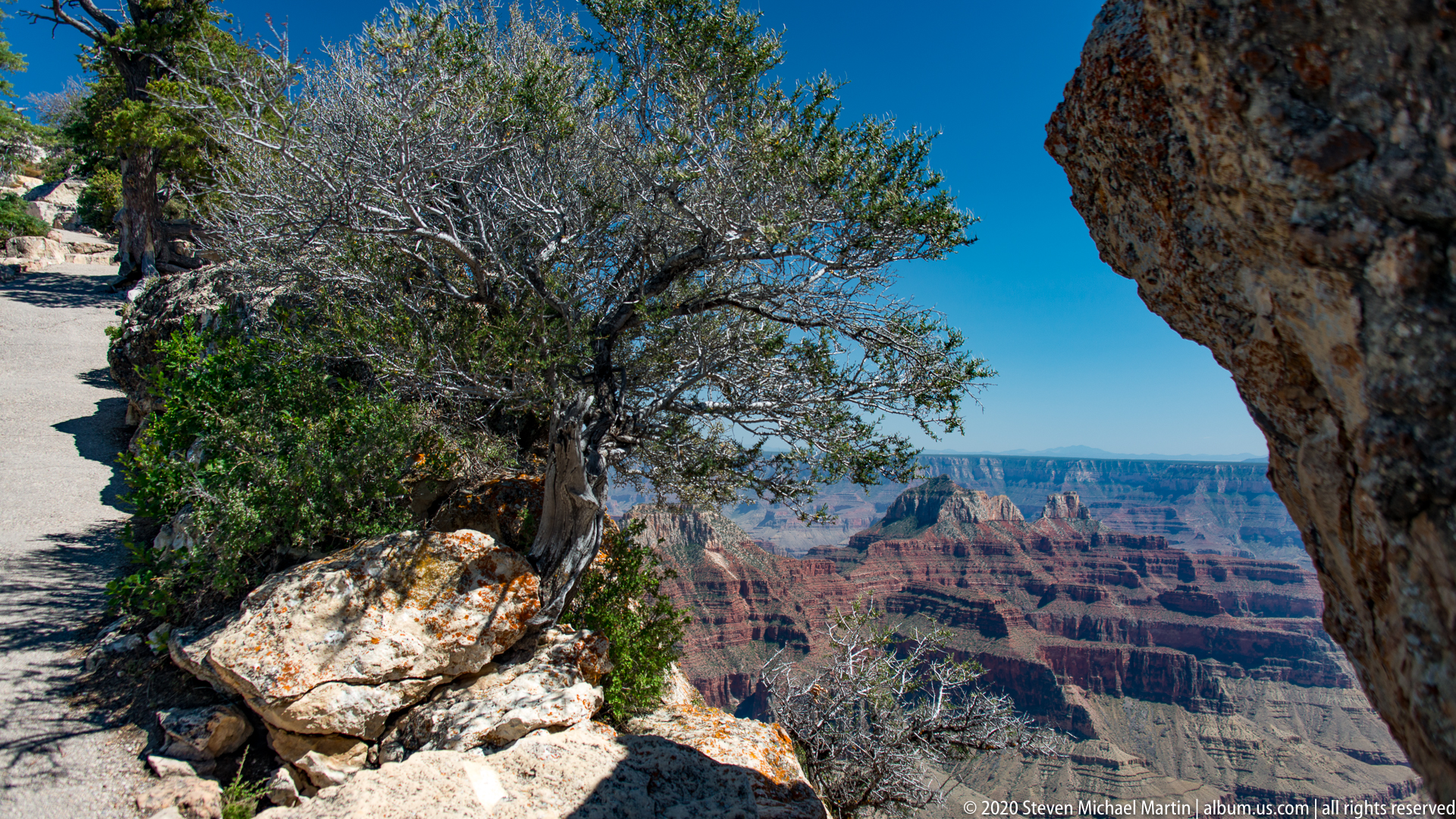
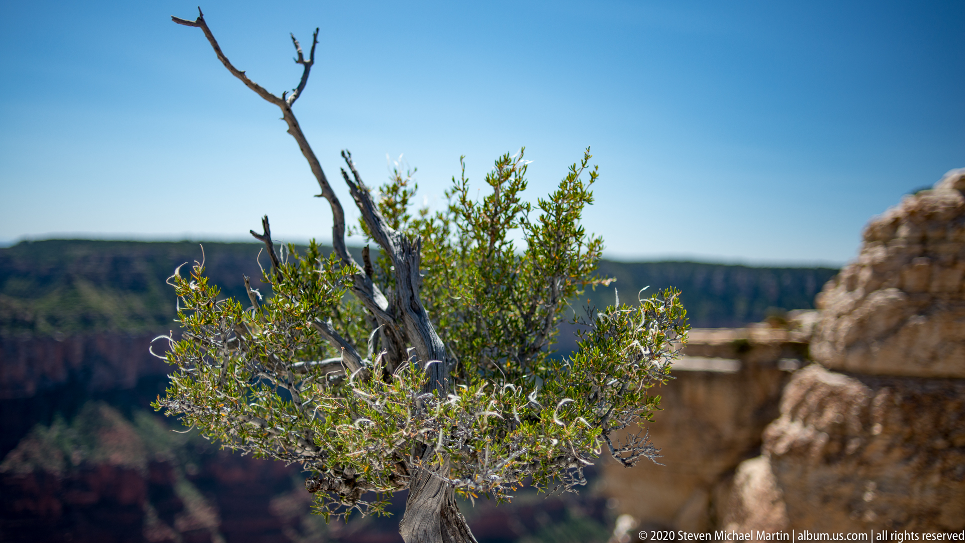
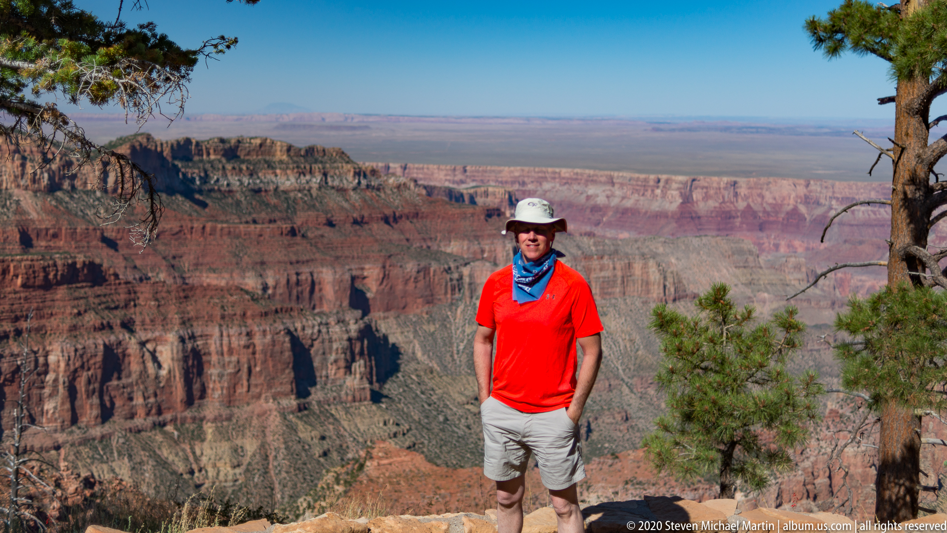
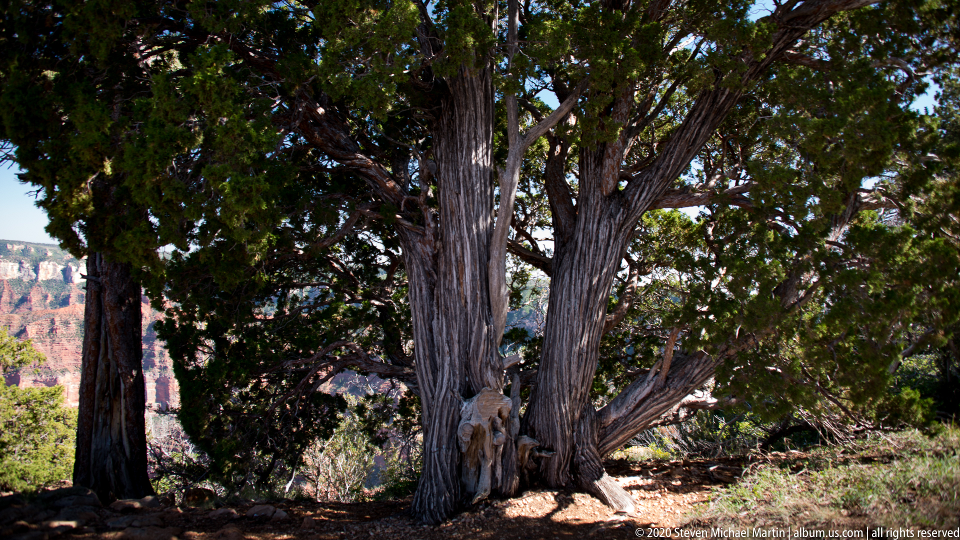
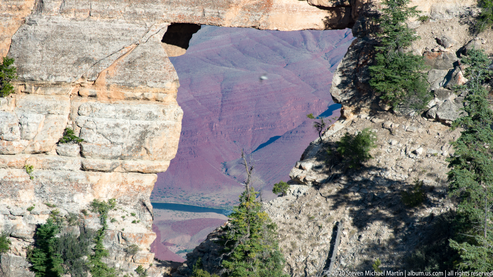
- Foreground elements such as trees or rock edges provide perspective
- Changing light conditions produce varied tonal patterns across the canyon