Burlington, Vermont
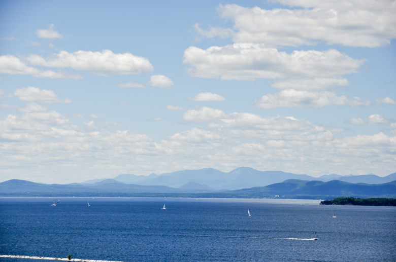
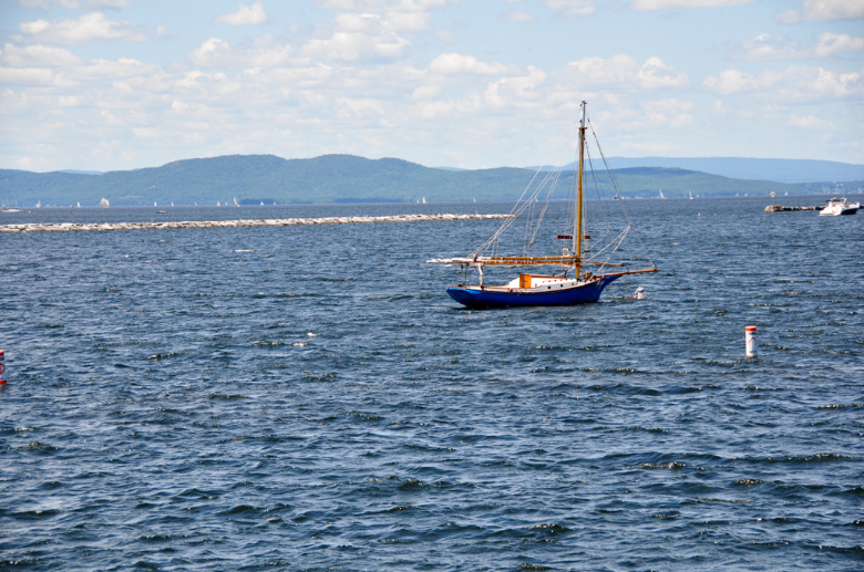
Burlington developed along the eastern shore of Lake Champlain, a natural corridor linking the interior of North America with the St. Lawrence River and the Atlantic world. The lake has long served as a geographic boundary and transportation route, first for Indigenous communities including the Abenaki and Mohawk, and later for European explorers and American settlers. Positioned between the Adirondack Mountains to the west and Vermont’s Green Mountains to the east, Burlington emerged as a strategic port and commercial center in the late eighteenth and nineteenth centuries, particularly following the construction of canals that connected the Champlain Valley to the Hudson River and New York Harbor.
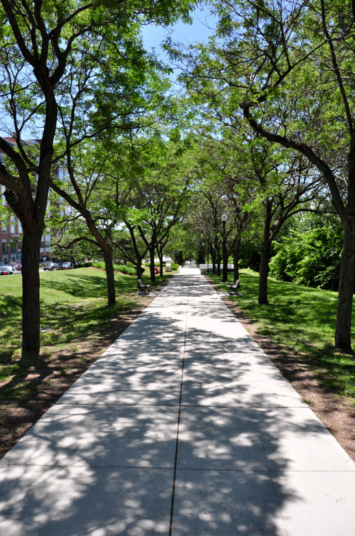
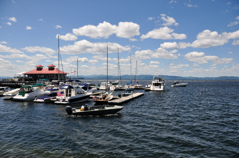
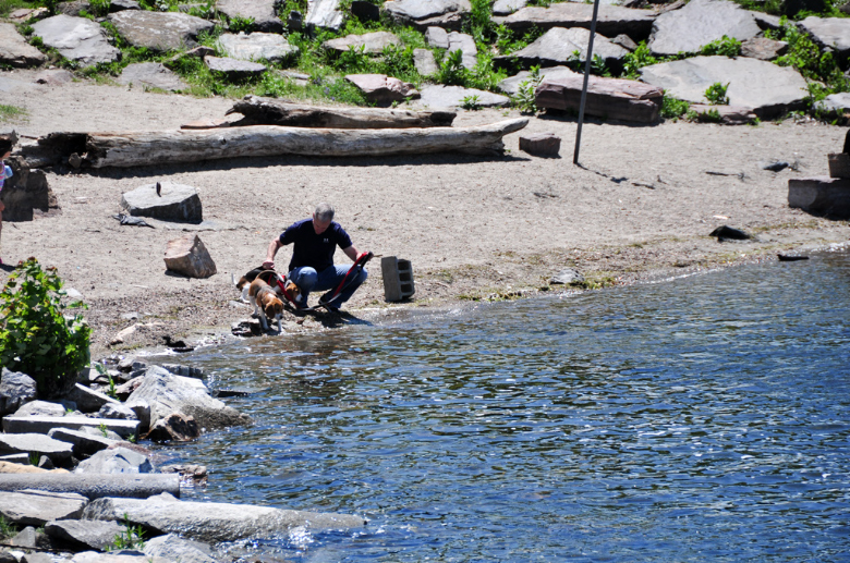
The city’s waterfront reflects this evolution from an industrial harbor supporting lumber and manufacturing to a landscape now oriented toward public access, recreation, and environmental stewardship. Rail connections, shipbuilding, and trade once defined Burlington’s economy, helping establish it as one of the most important commercial centers in the region during the nineteenth century. Over time, civic planning transformed the shoreline into parks, promenades, and cultural gathering spaces that emphasize the relationship between community life and the lake environment.
Burlington contributes to understanding how geography shaped patterns of settlement and economic development in northern New England. Its position along Lake Champlain illustrates the interaction between inland waterways, mountain landscapes, and regional trade networks that connected Vermont to broader national and international systems. The preserved waterfront and surrounding landscape reflect continuity between historic transportation routes and contemporary appreciation of environmental setting within the Champlain Valley.