Introduction
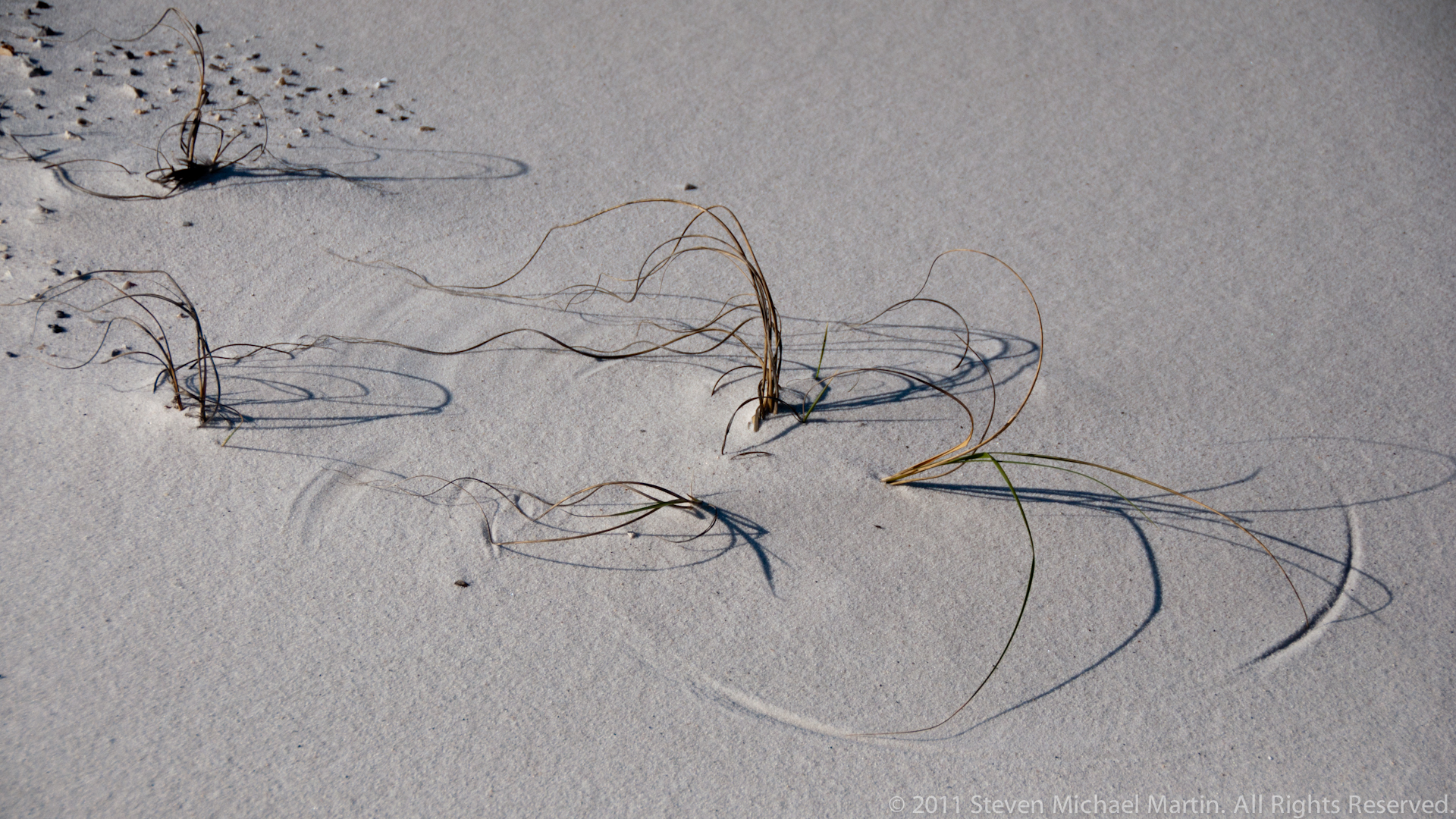
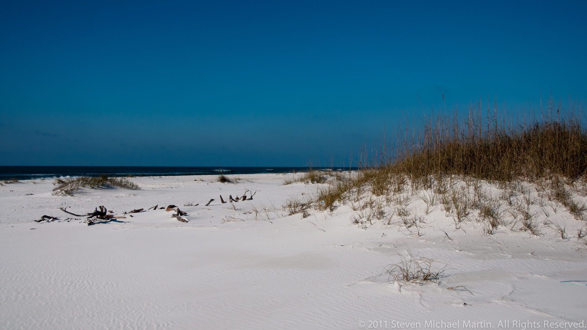
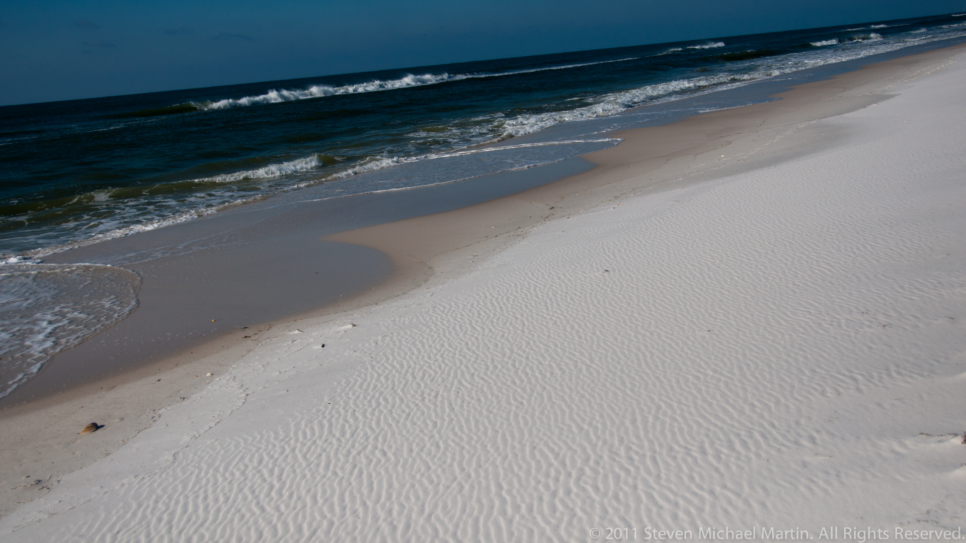
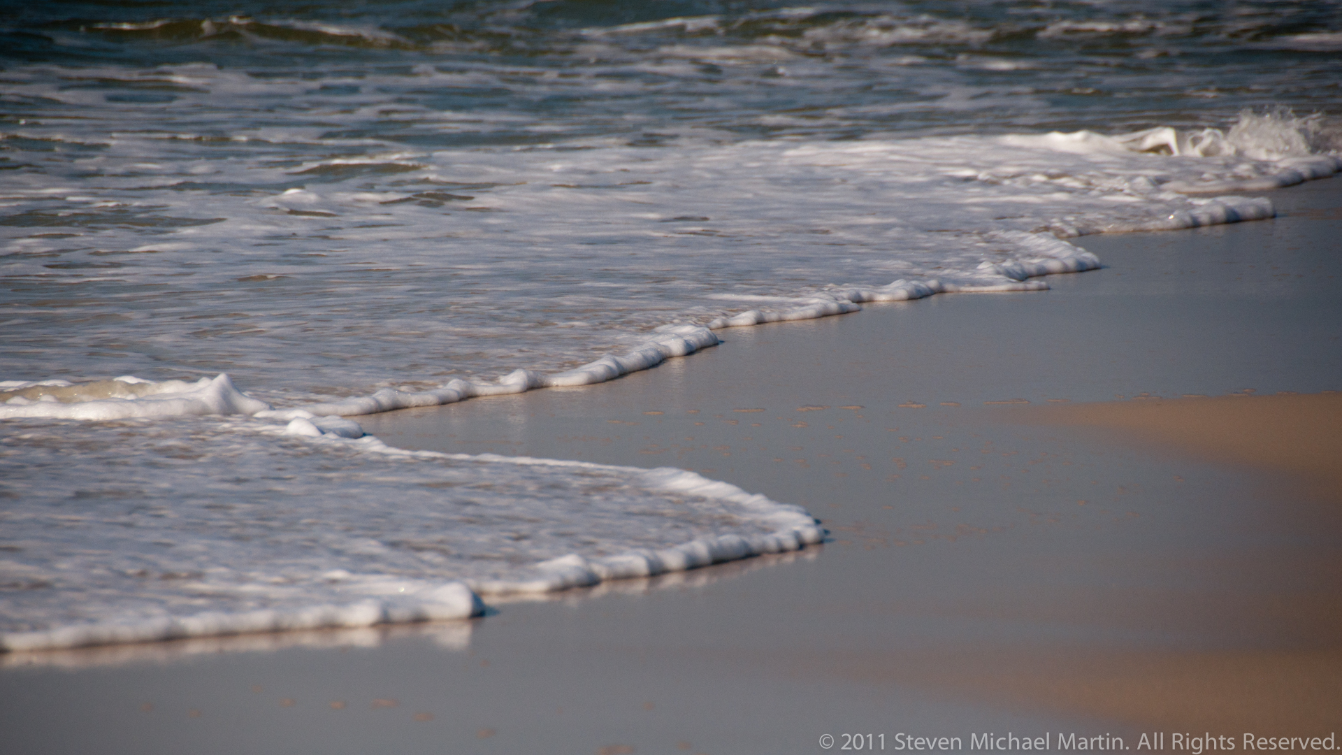
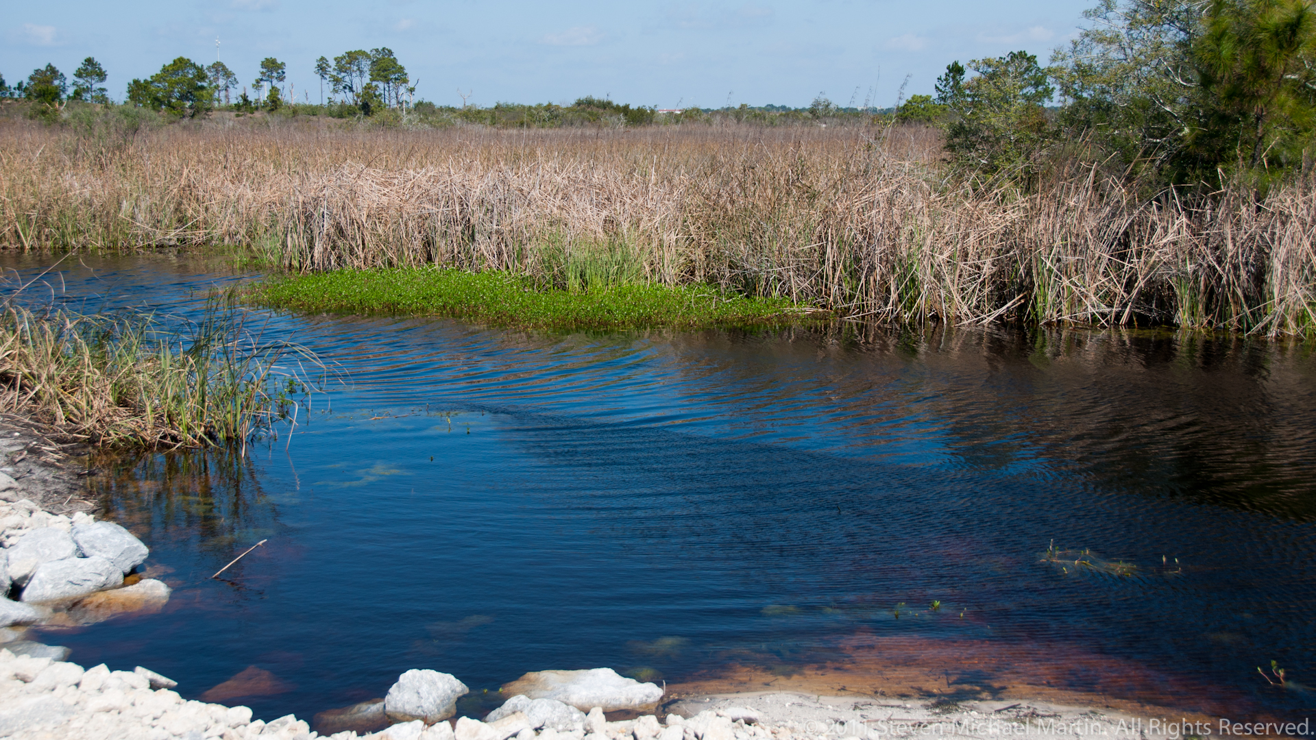
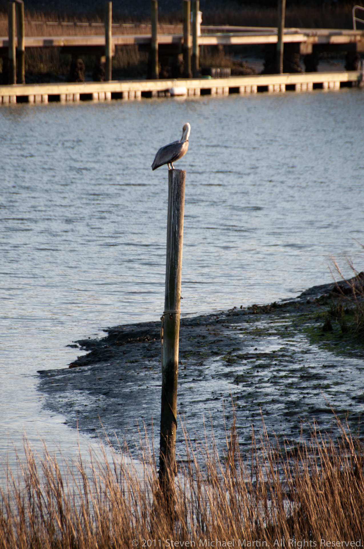
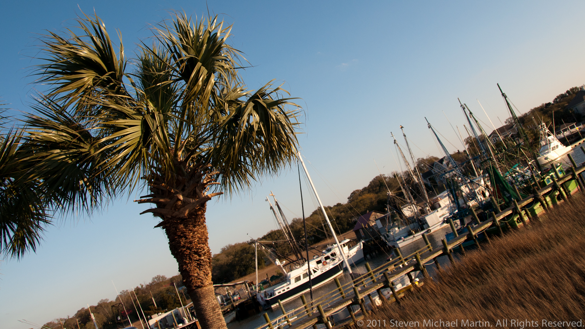
Gulf Islands National Seashore preserves barrier island environments along the northern Gulf of Mexico, where white quartz sand beaches, maritime forests, and protected bays illustrate the dynamic processes shaping coastal landscapes. These islands form part of a broader system of shoreline environments extending across Florida, Alabama, and Mississippi, influenced by ocean currents, storms, and long-term sediment movement. The geography of the Gulf Coast has historically provided sheltered harbors that supported maritime travel and coastal settlement.
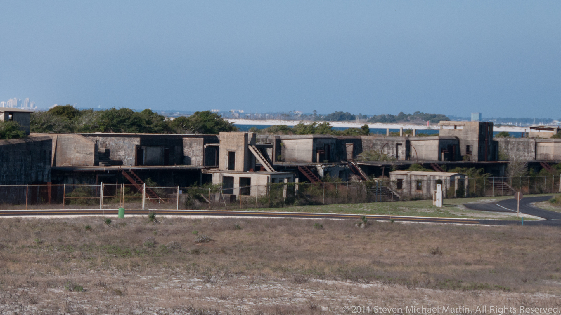
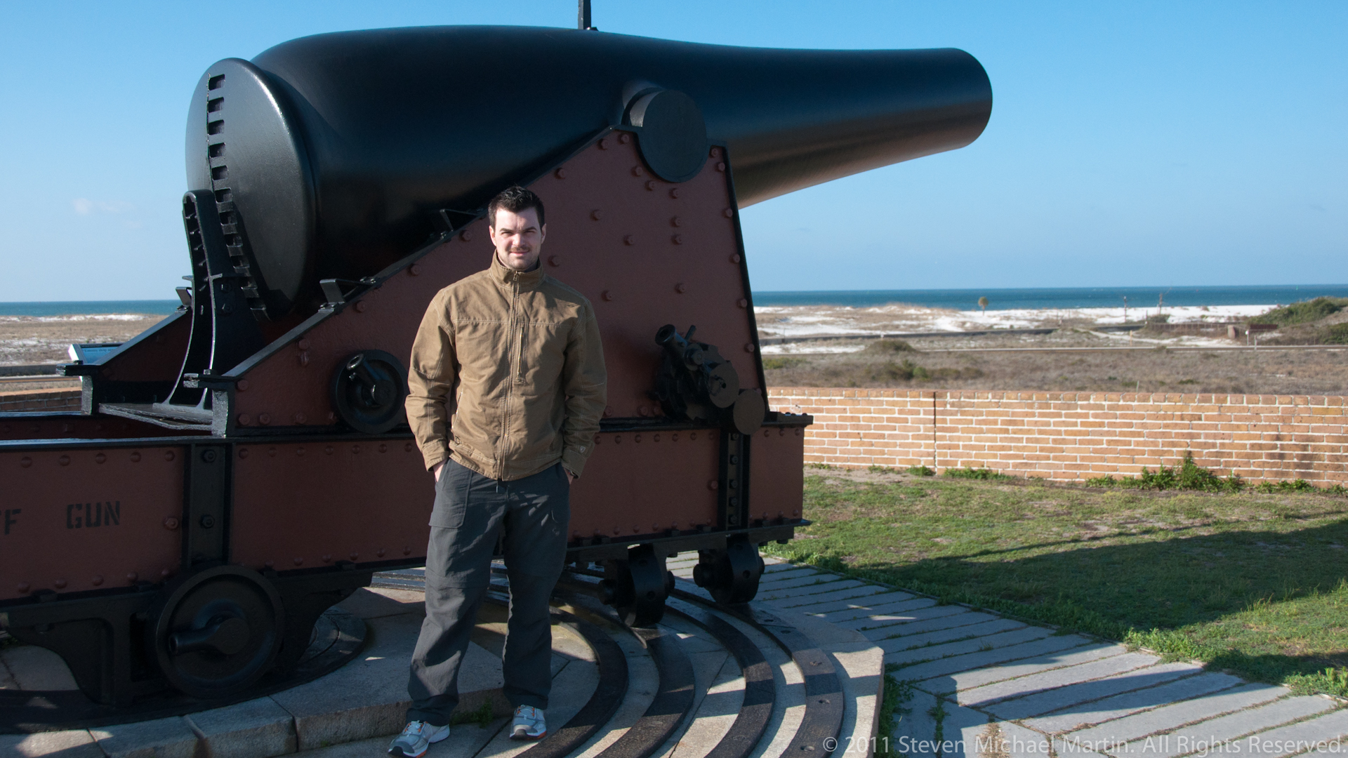
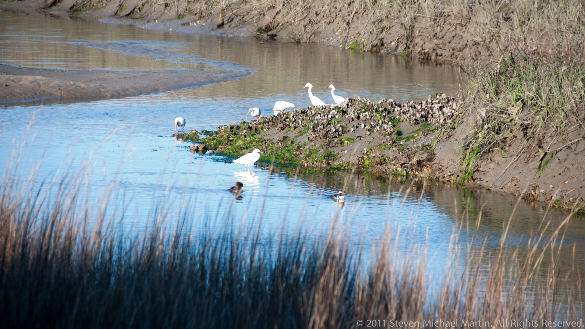
Historic fortifications constructed along key harbor entrances reflect the strategic importance of controlling access to protected waterways connecting the Gulf of Mexico to inland regions. Coastal defense systems near Pensacola and other locations demonstrate how geography influenced military planning during periods when naval security and maritime trade were central to national development. The preserved shoreline environments also illustrate ongoing natural processes including dune formation, shoreline migration, and habitat development supporting coastal ecosystems.
Viewed within the broader context of the southeastern United States, Gulf Islands National Seashore illustrates the interaction between coastal geography, historic navigation routes, and environmental preservation. Its protected landscapes demonstrate the continuing relationship between shoreline dynamics and patterns of human activity along the Gulf Coast.