National Mall from the Air
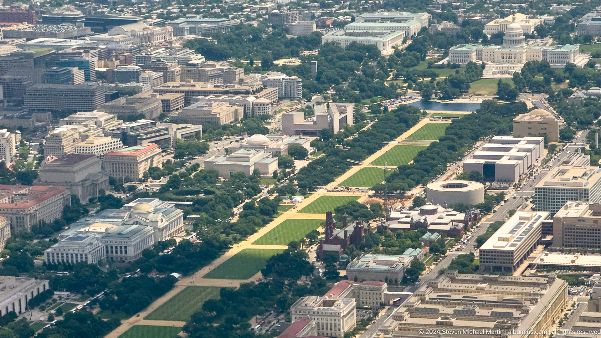
The National Mall forms the central ceremonial landscape of Washington, DC, extending from the United States Capitol westward toward the Potomac River. Planned in accordance with Pierre Charles L’Enfant’s original design for the federal city and later refined by the McMillan Plan of 1902, the Mall reflects the use of axial geometry and open landscape to create a unified monumental environment. The arrangement of museums, memorials, and government buildings demonstrates how urban planning principles were used to express national ideals through spatial organization.
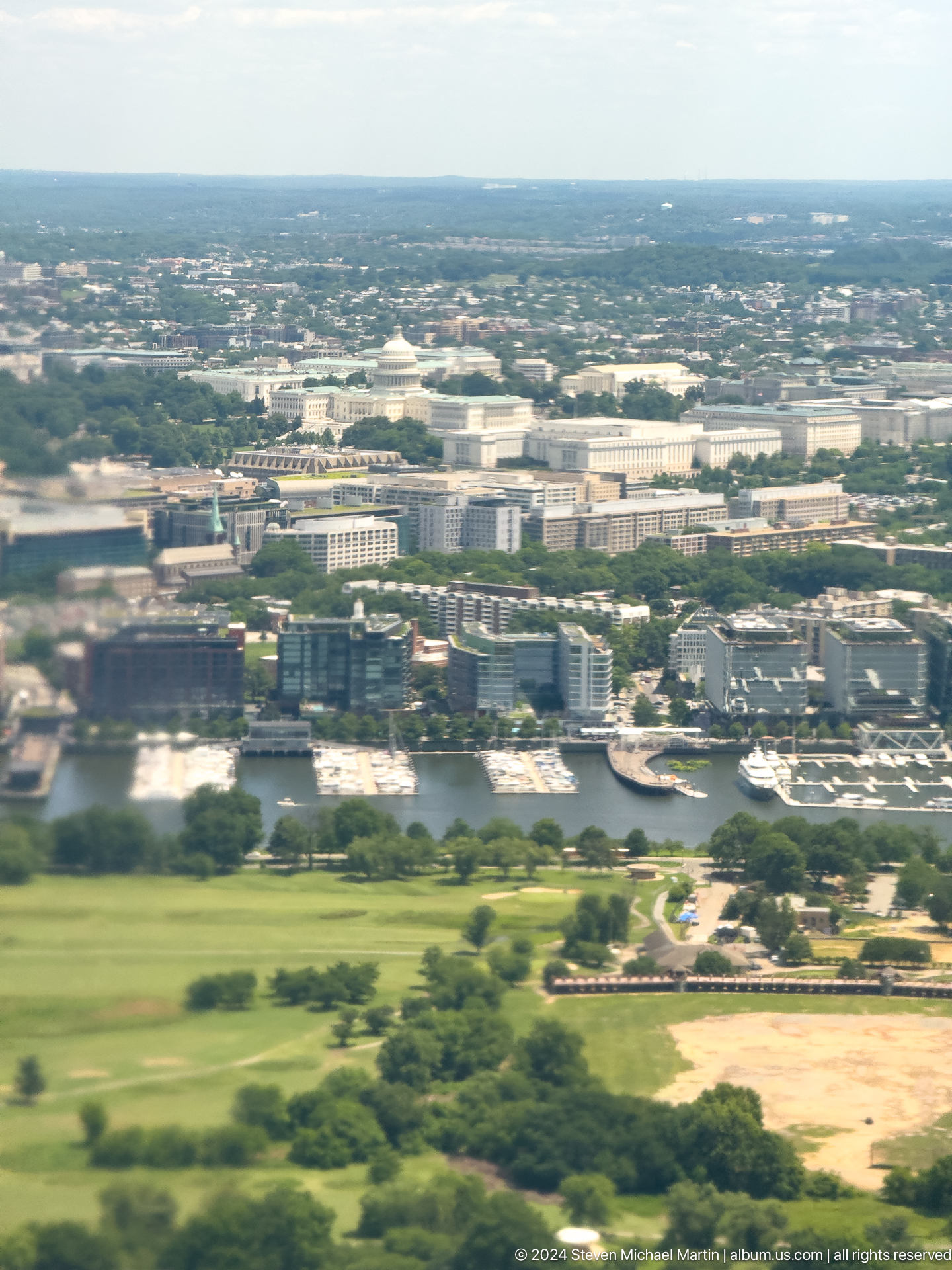
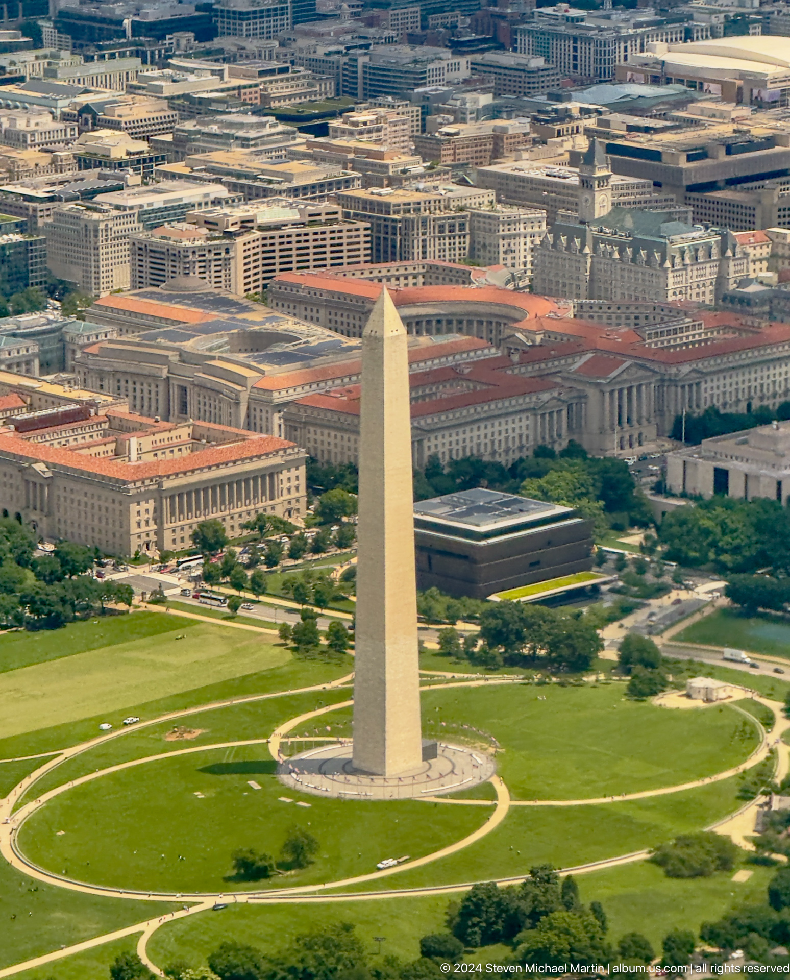
An aerial perspective reveals the geometric relationships between major landmarks including the Capitol, Washington Monument, Lincoln Memorial, and the Smithsonian museums. The open green expanse of the Mall contrasts with the surrounding street grid, emphasizing the symbolic distinction between civic space and commercial development. Early aerial photography in the twentieth century helped document the evolving form of the capital as new memorials and cultural institutions were added to the monumental core.
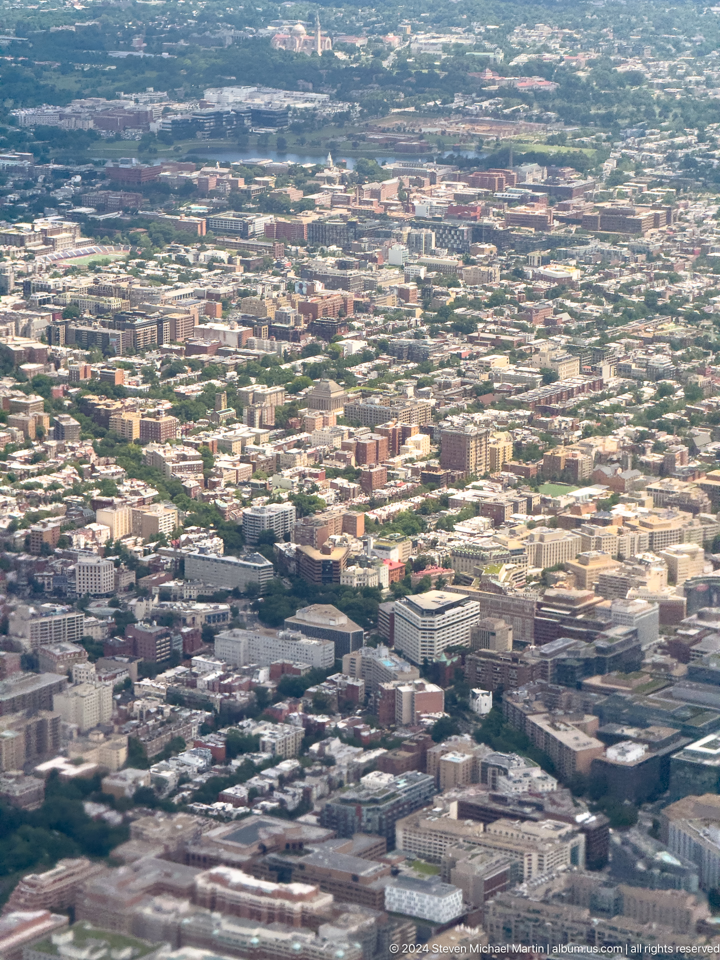
Viewing the National Mall from above contributes to understanding how landscape design and architectural planning combine to create a symbolic national environment. The clarity of the Mall’s spatial organization demonstrates the influence of classical planning principles on the development of the federal capital. The aerial perspective reinforces the relationship between geometry, symbolism, and public space within one of the most recognized civic landscapes in the world.