Winchester
Winchester developed within the lower Shenandoah Valley, a fertile corridor shaped by limestone geology, river systems, and transportation routes connecting the interior of Virginia with the Potomac River and Chesapeake Bay. The valley’s agricultural productivity and strategic location made the area an important center of settlement during the colonial period. The surrounding landscape reflects long patterns of cultivation and movement through the Appalachian region, illustrating how geography influenced early economic and social development.
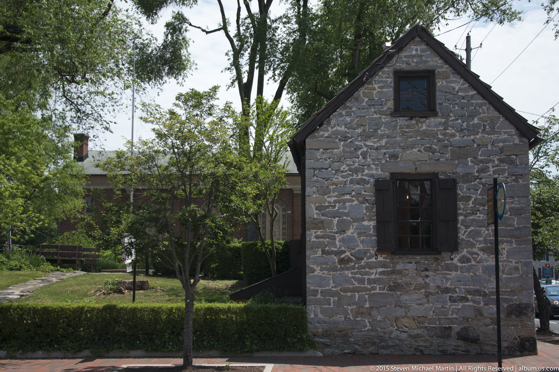
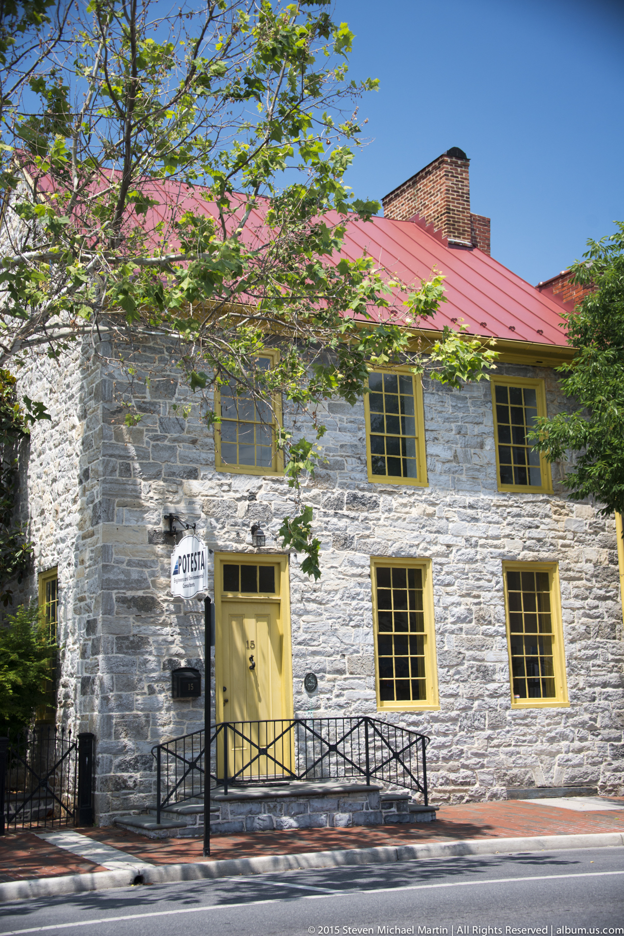
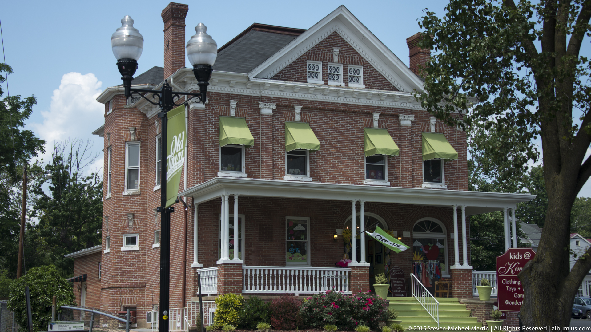
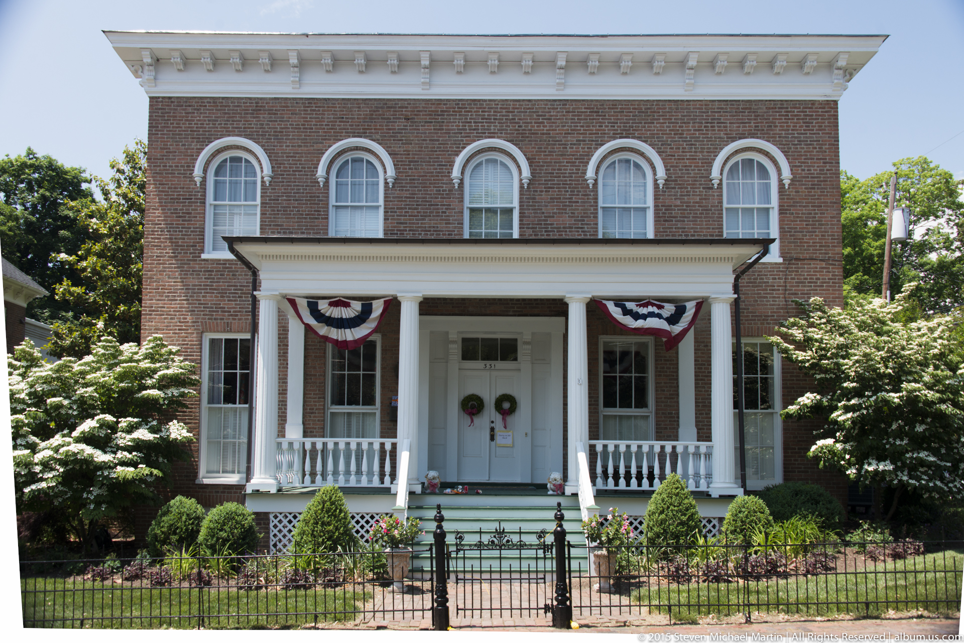
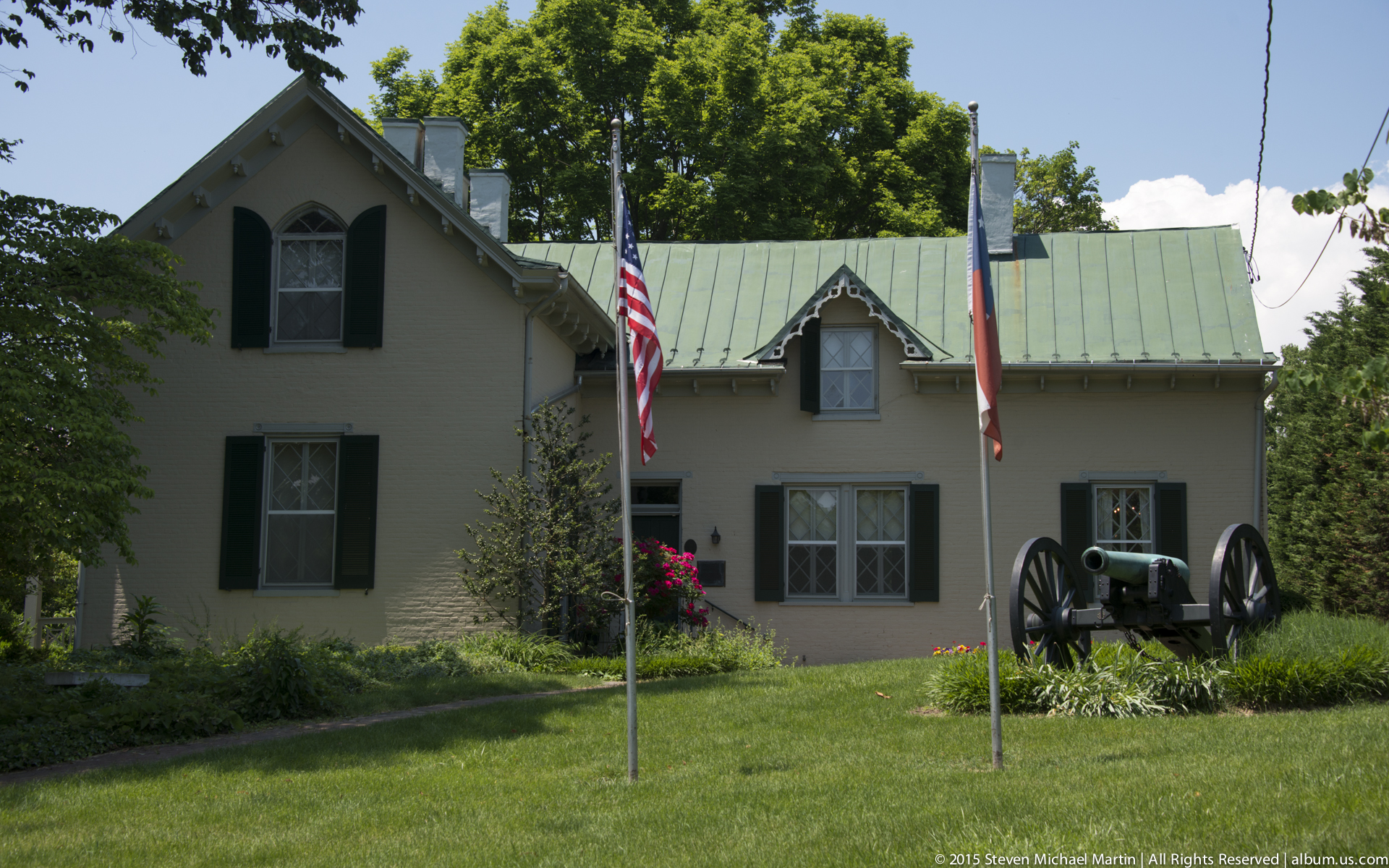
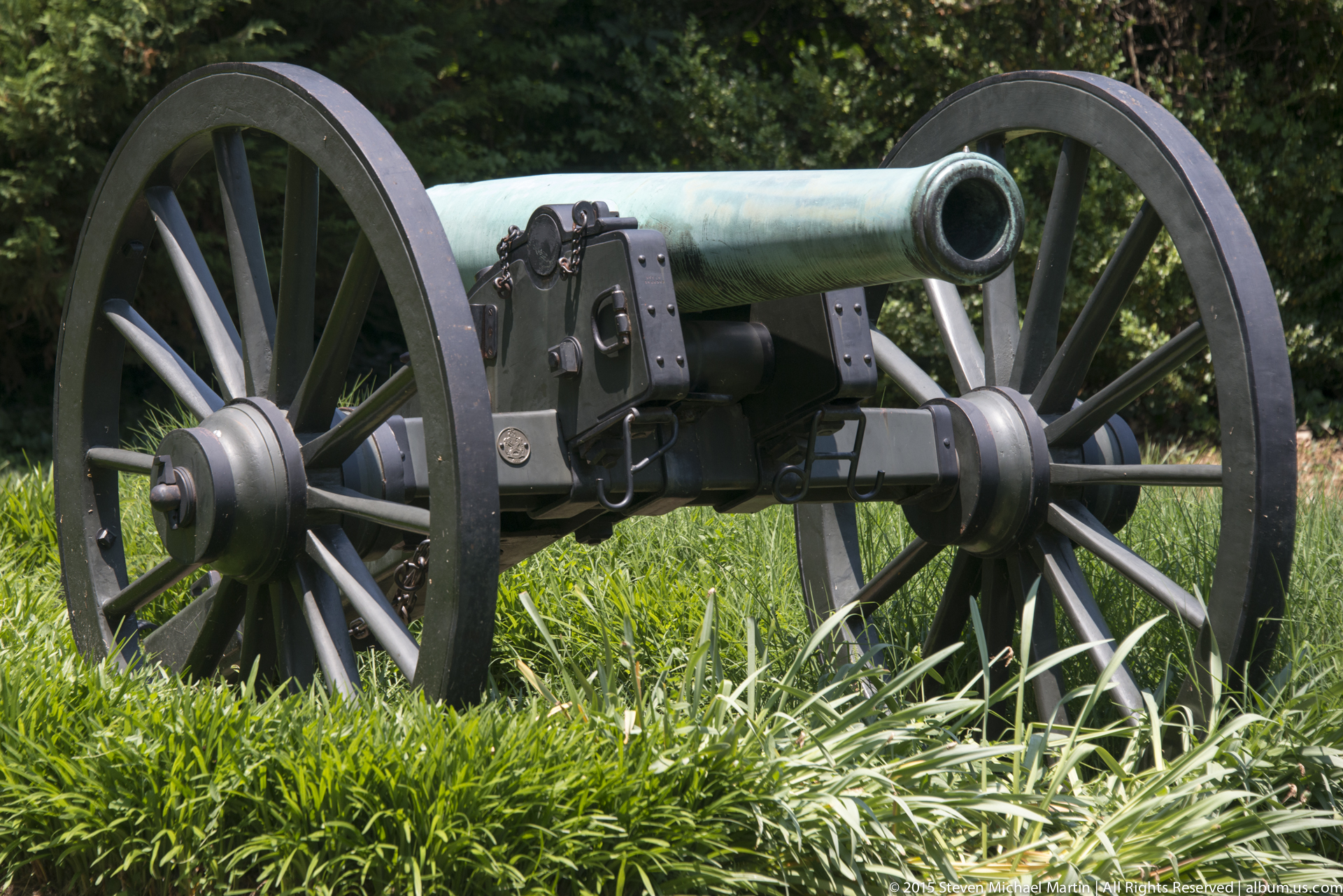
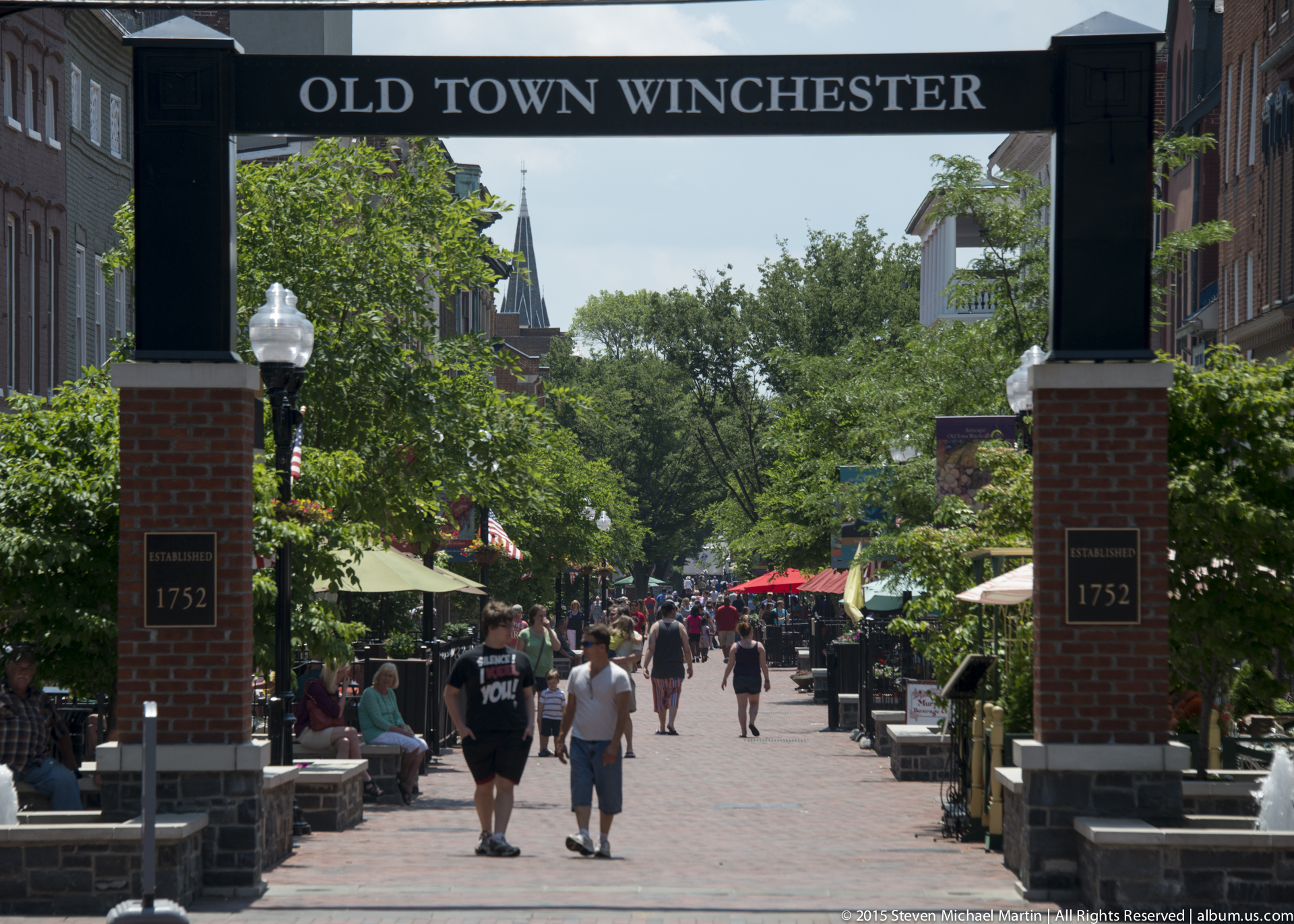
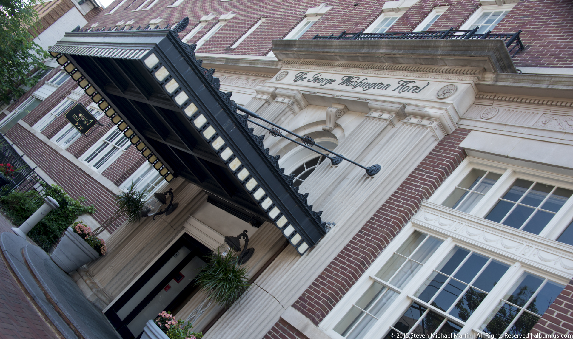
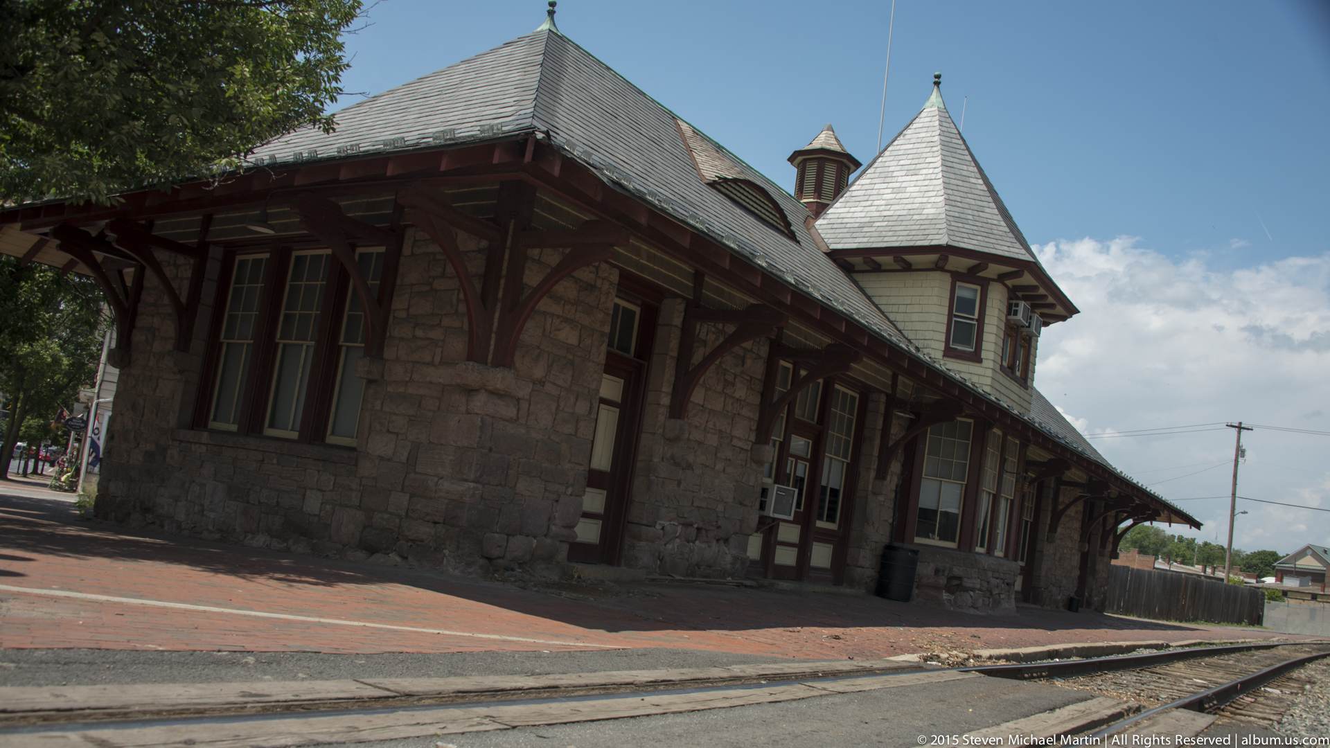
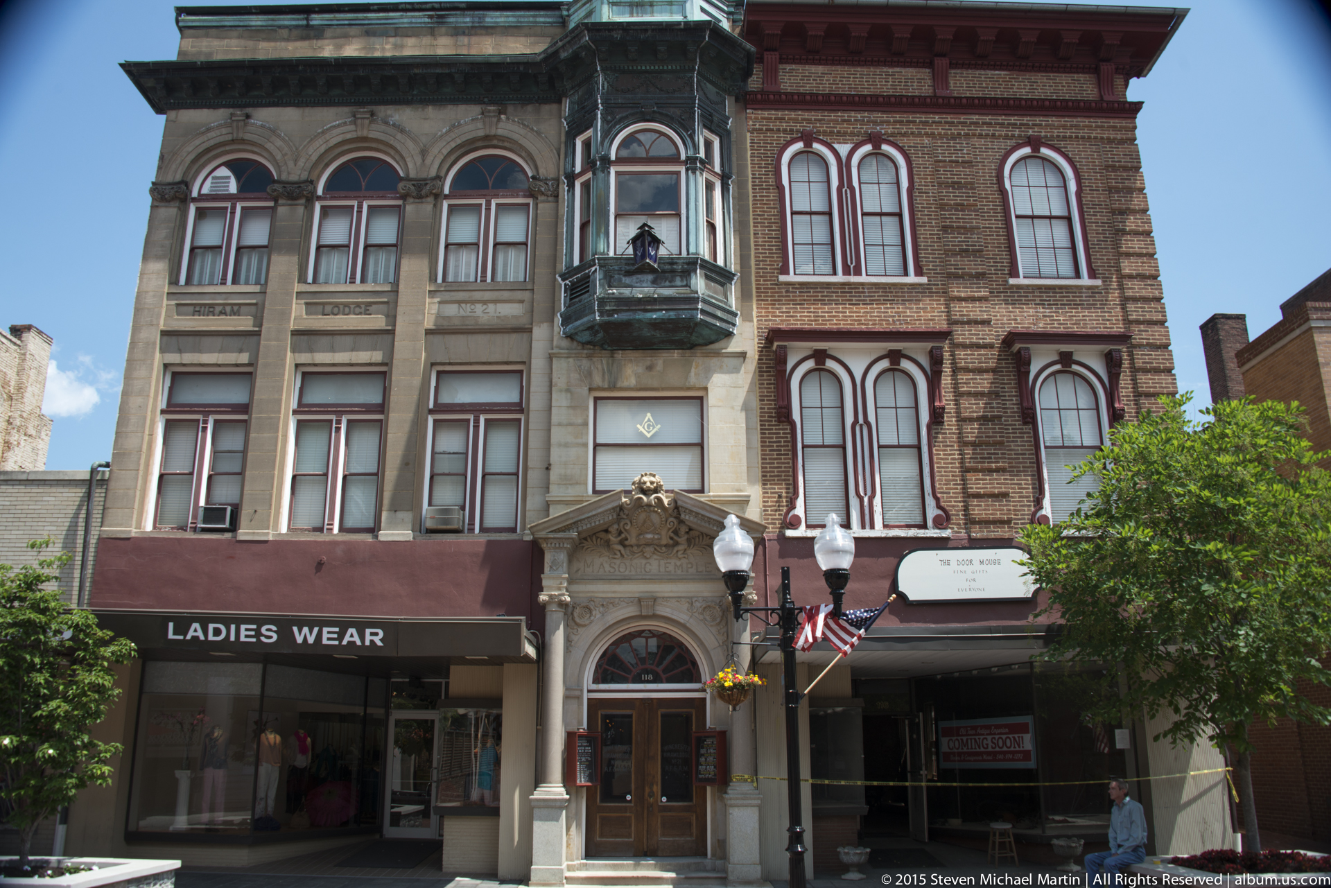
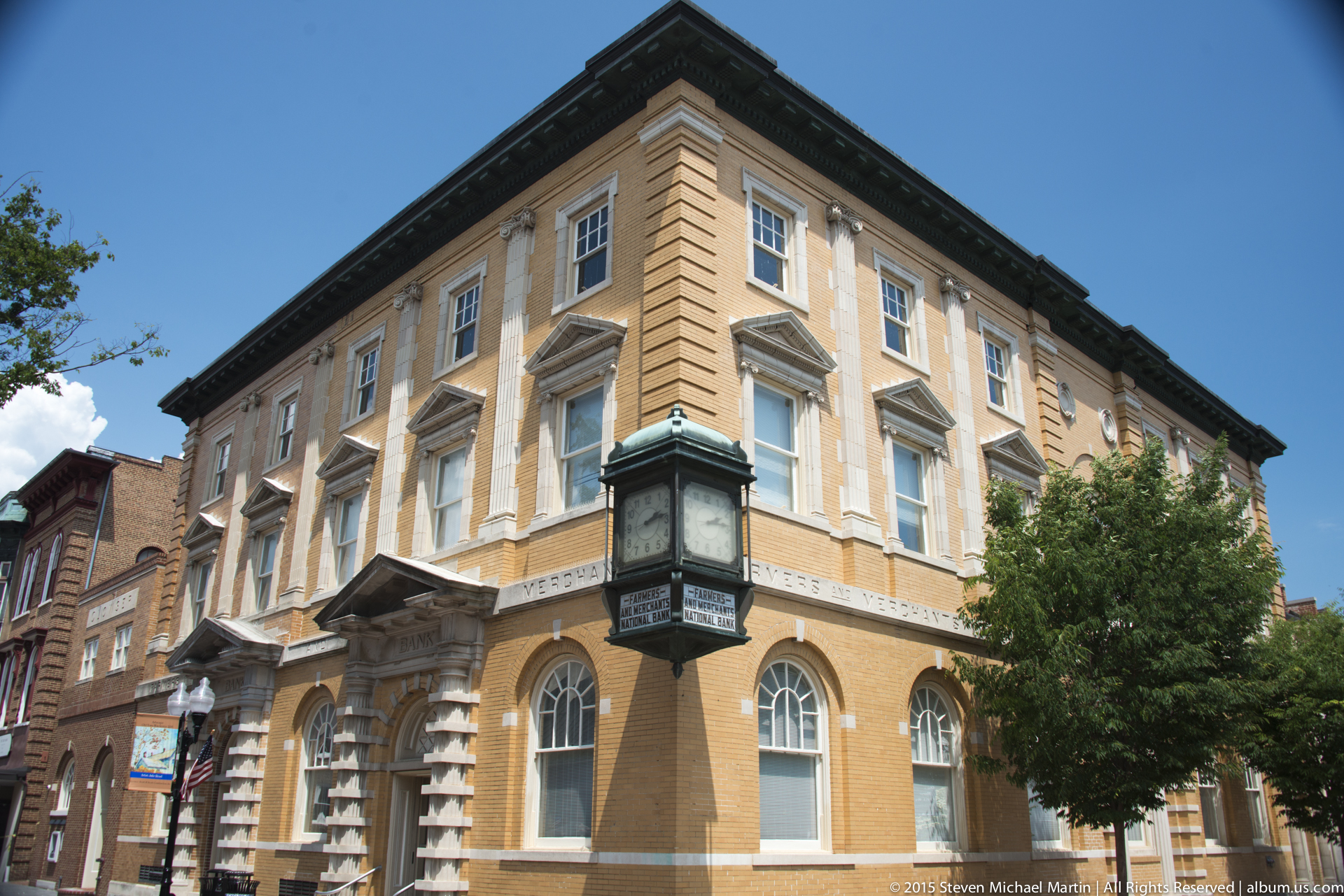
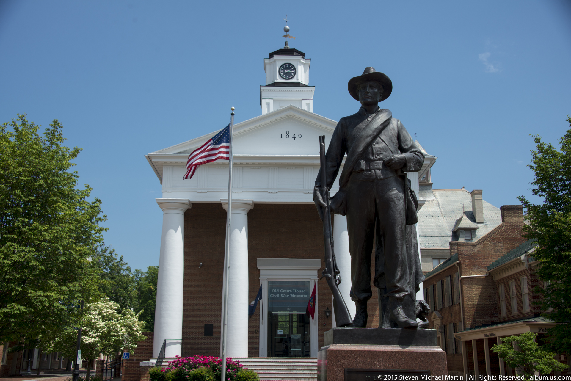
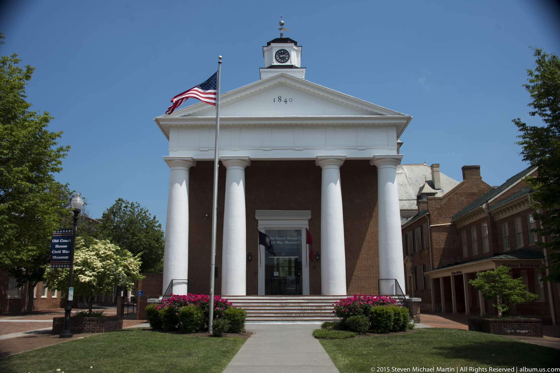
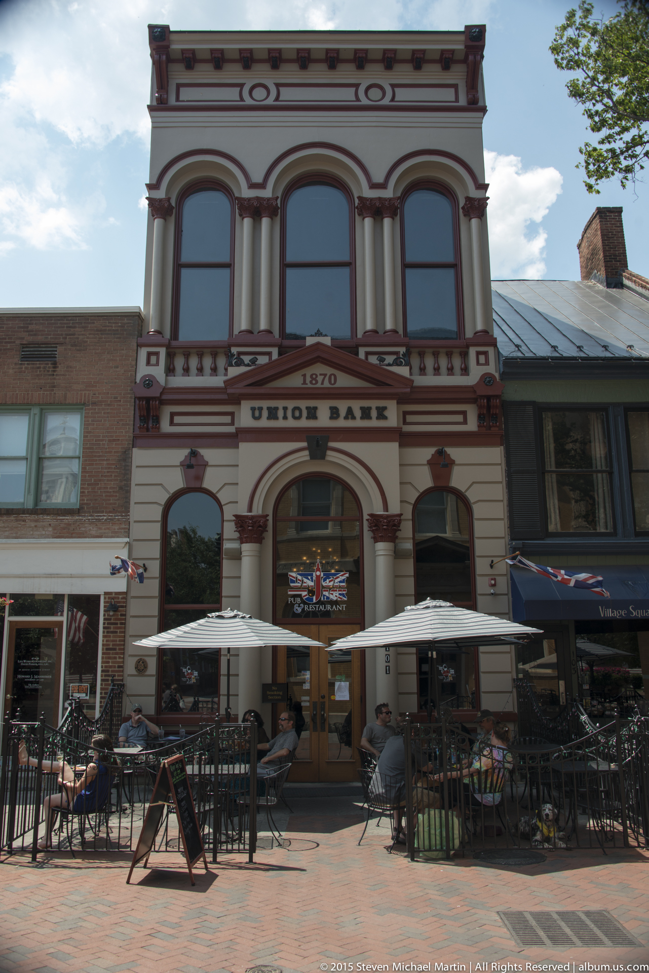
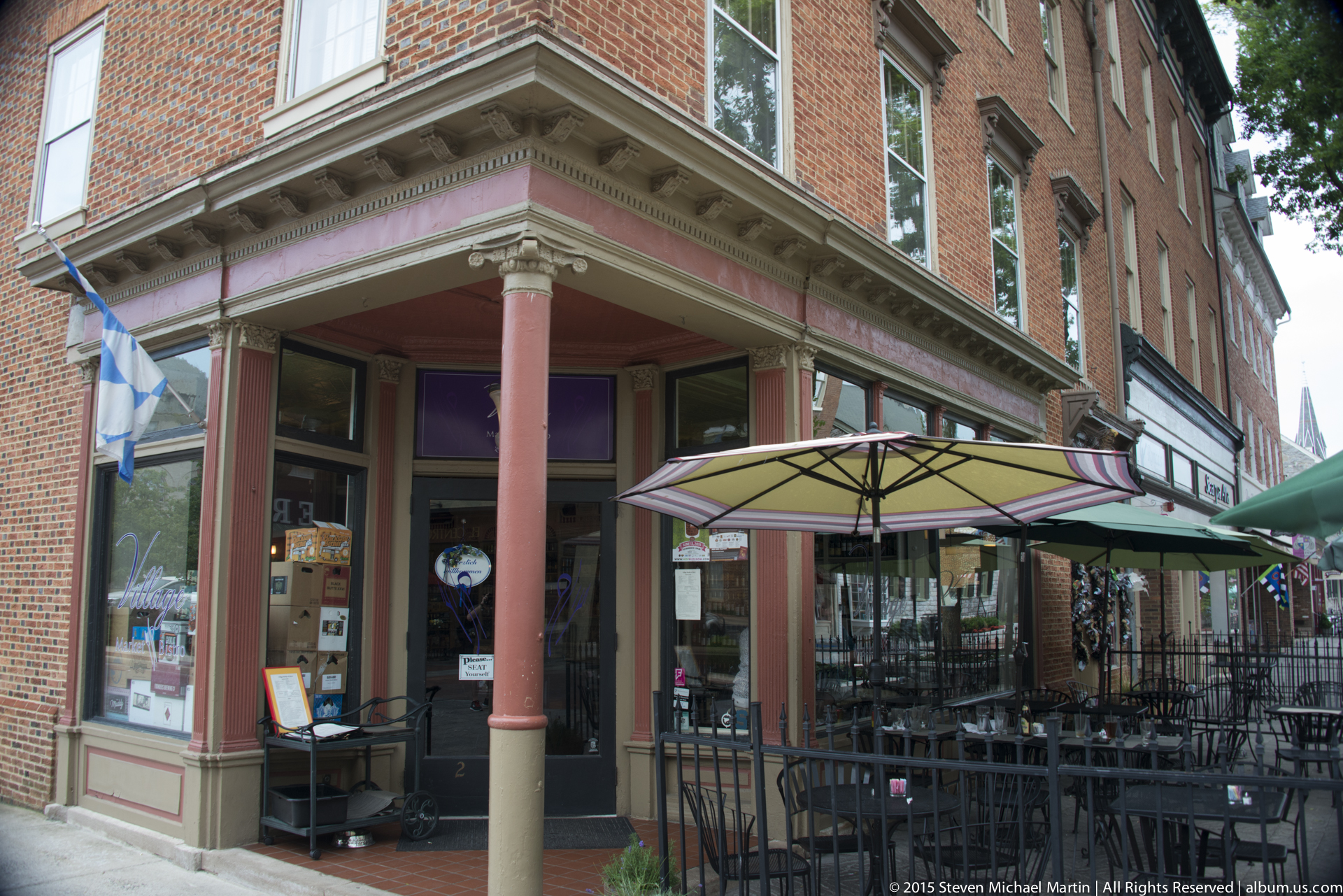
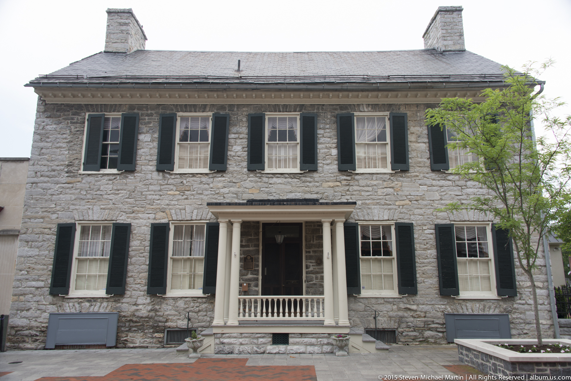
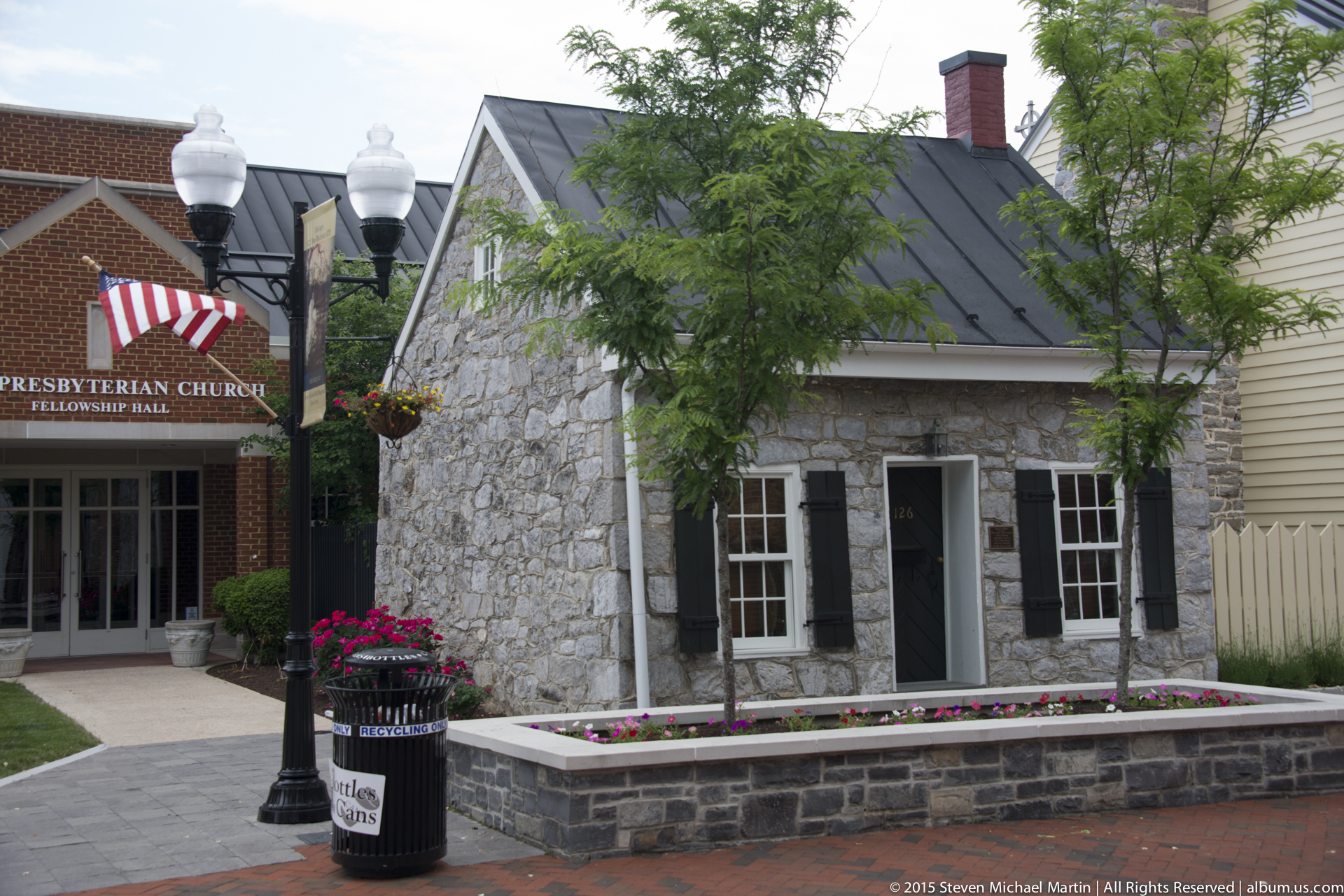
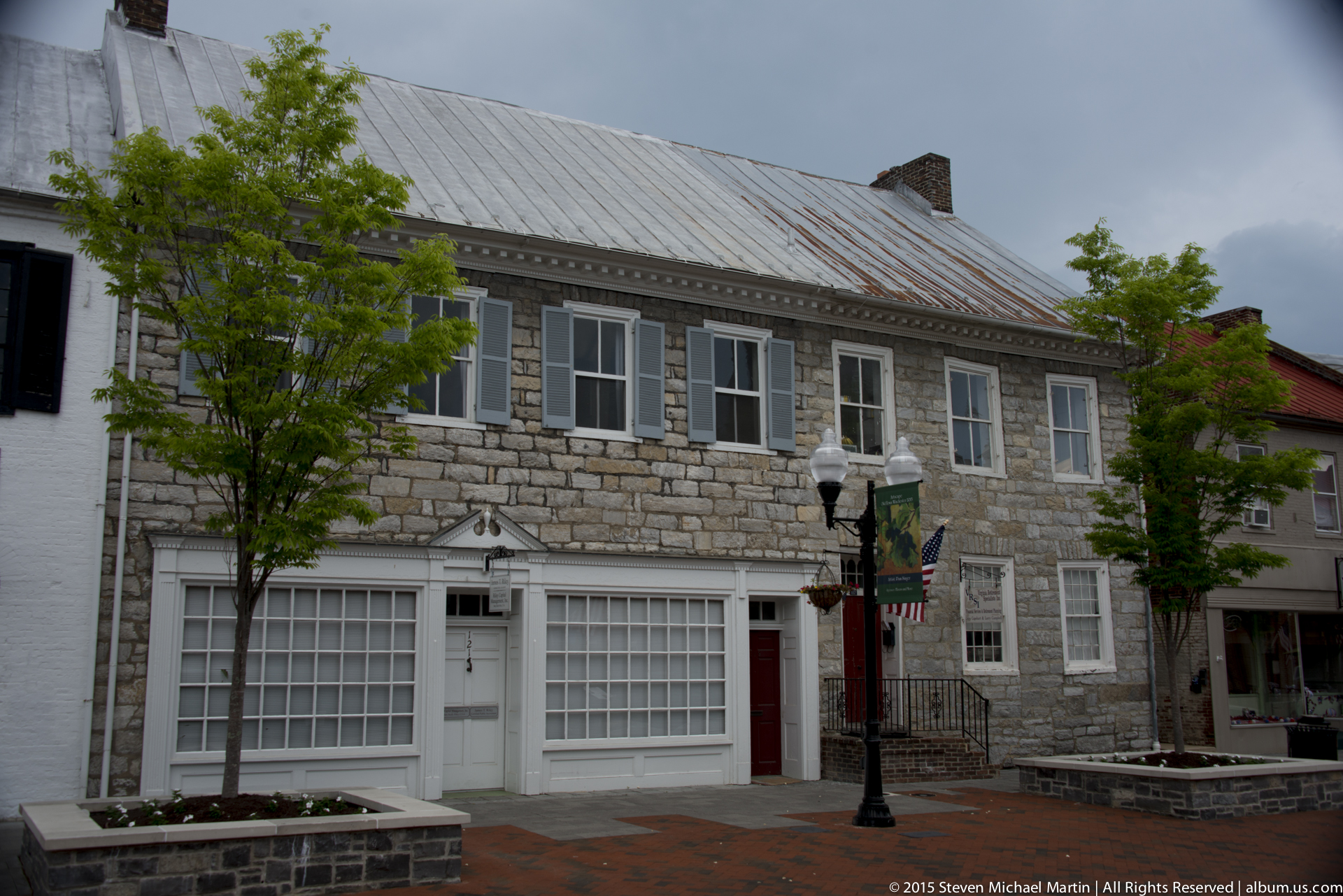
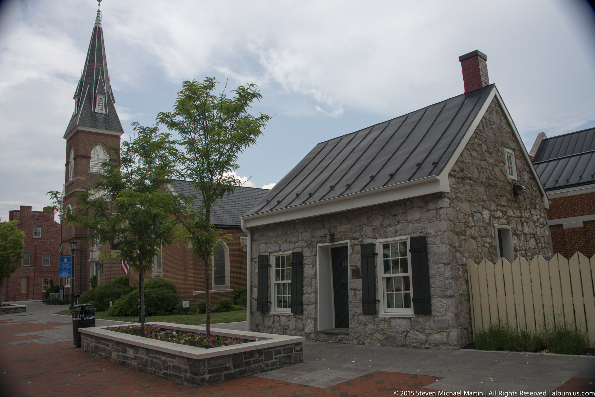
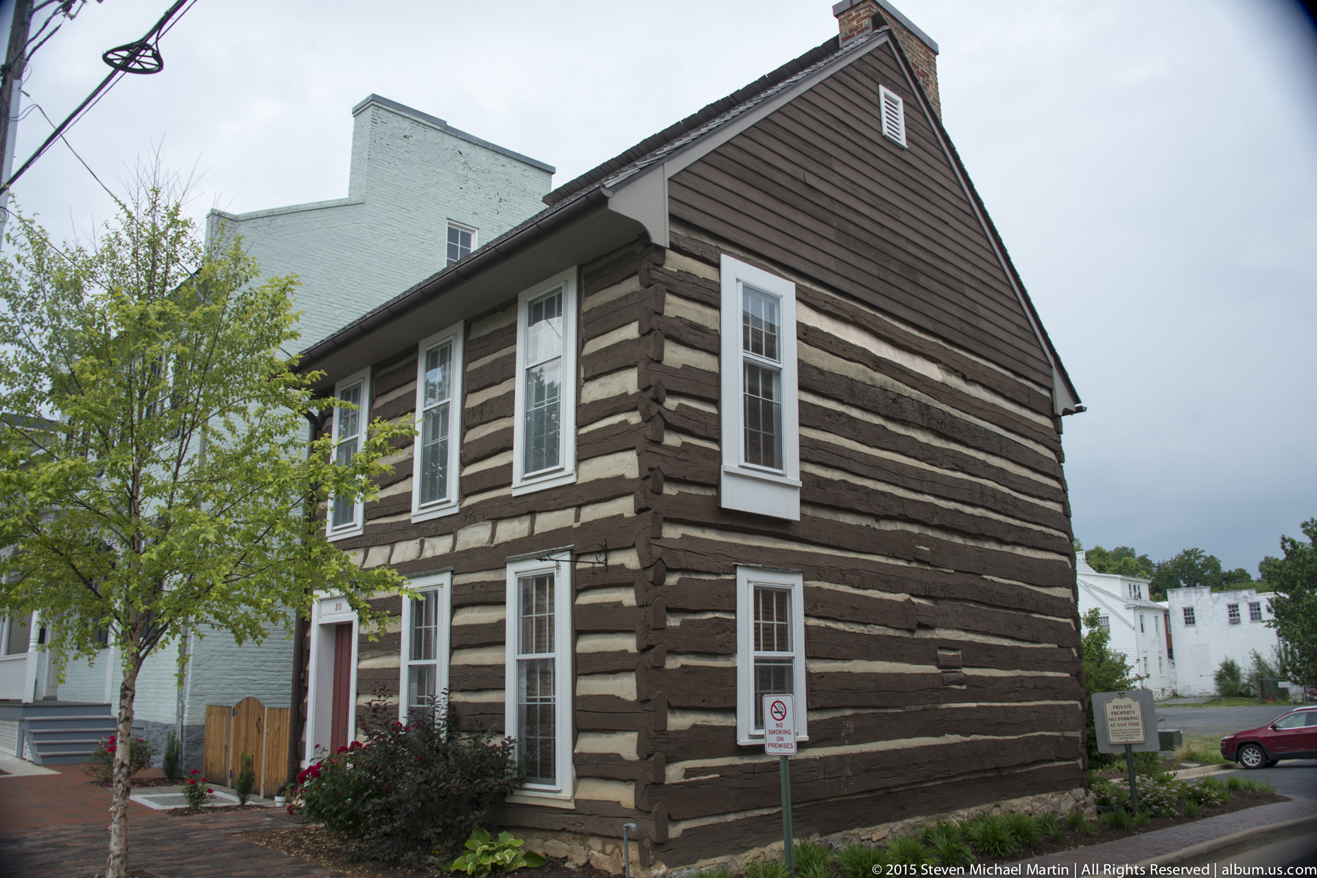
During the Civil War, Winchester became one of the most contested locations in the Shenandoah Valley due to its strategic position along transportation routes linking northern and southern territories. Control of the valley allowed military forces to move supplies and troops through the Appalachian corridor, contributing to repeated military engagements in the surrounding countryside. The built environment of the city preserves architectural layers reflecting both early settlement and later reconstruction shaped by nineteenth- and twentieth-century development.
Winchester contributes to understanding how geography influenced both agricultural settlement and military strategy within the mid-Atlantic region. The city’s location within the Shenandoah Valley illustrates the interaction between landscape, transportation routes, and historical conflict. As part of the broader Appalachian cultural landscape, Winchester reflects continuity between colonial settlement patterns and later regional development.