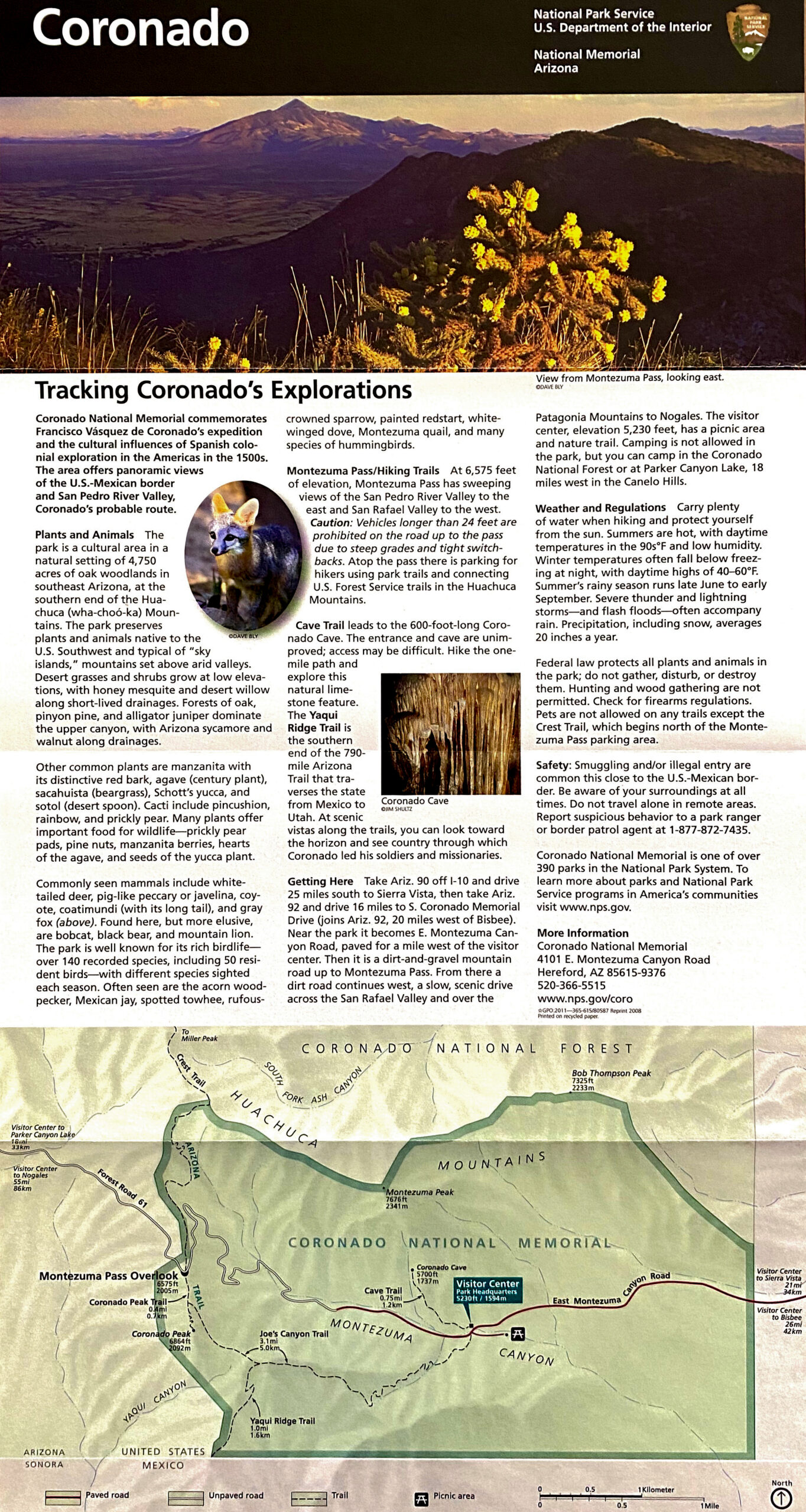
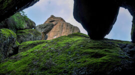
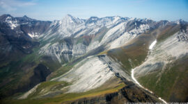
Coronado National Memorial
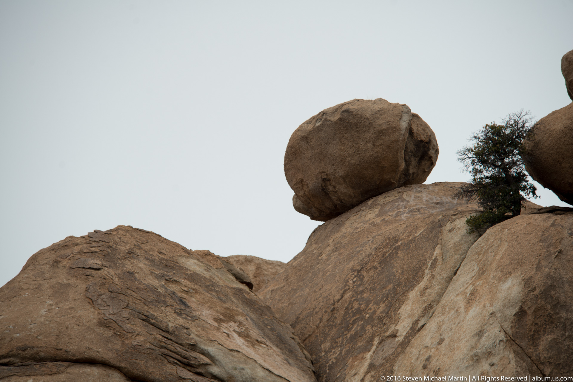
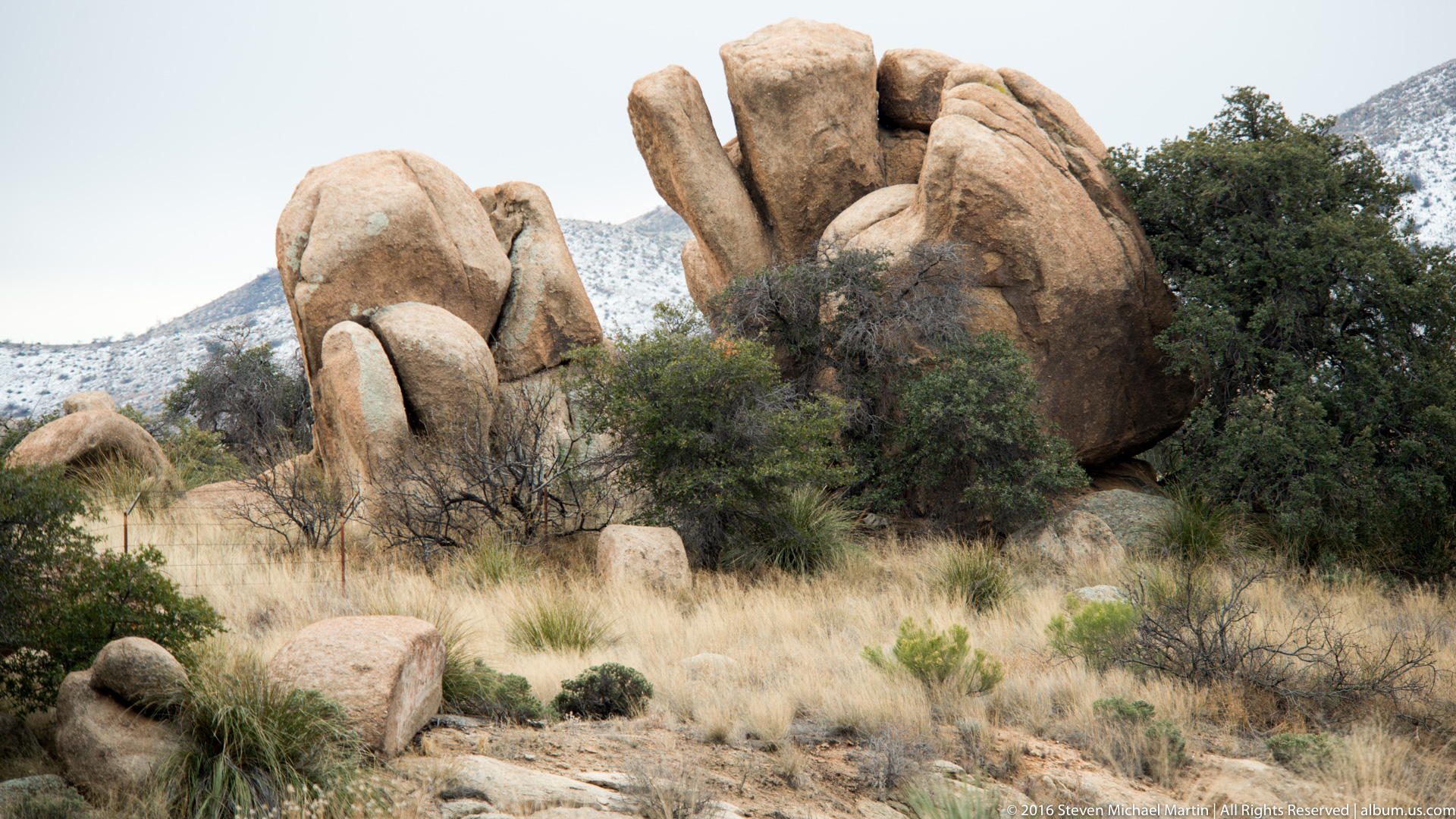
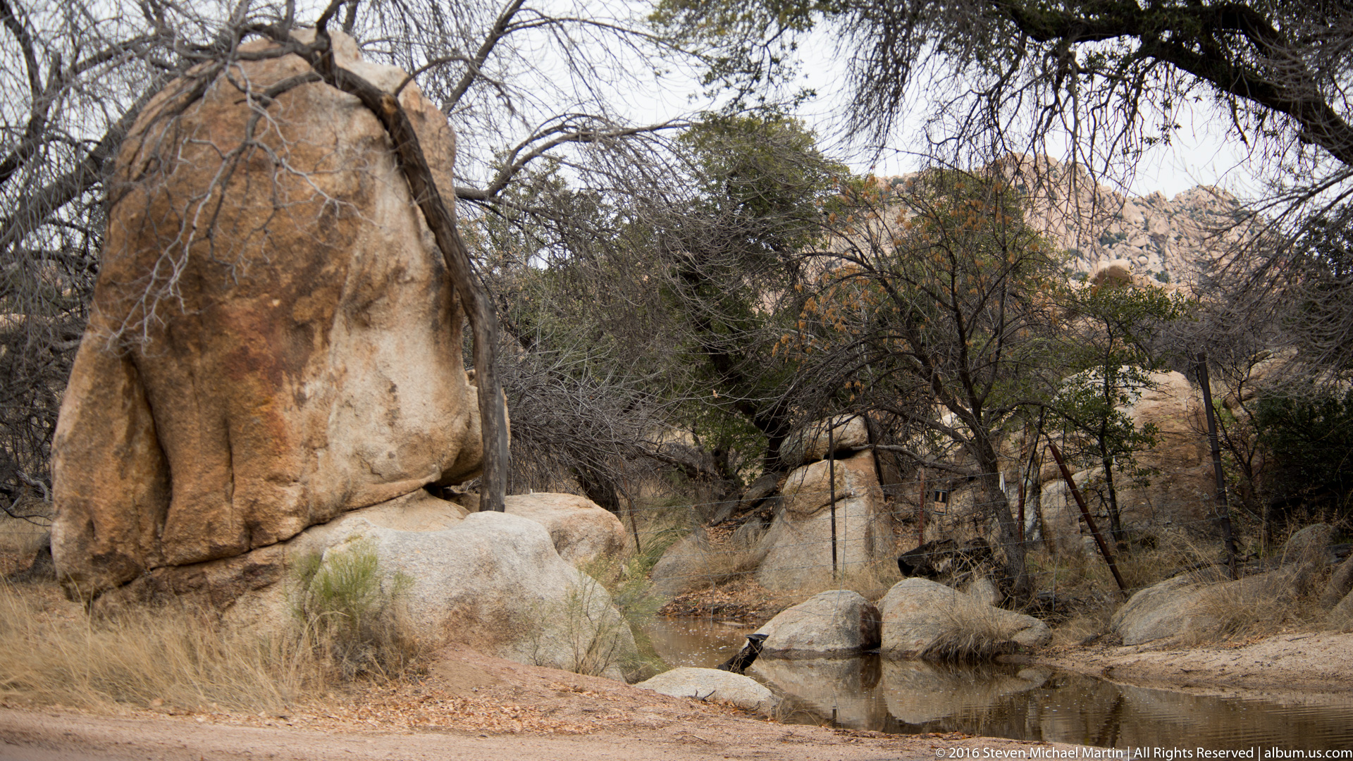
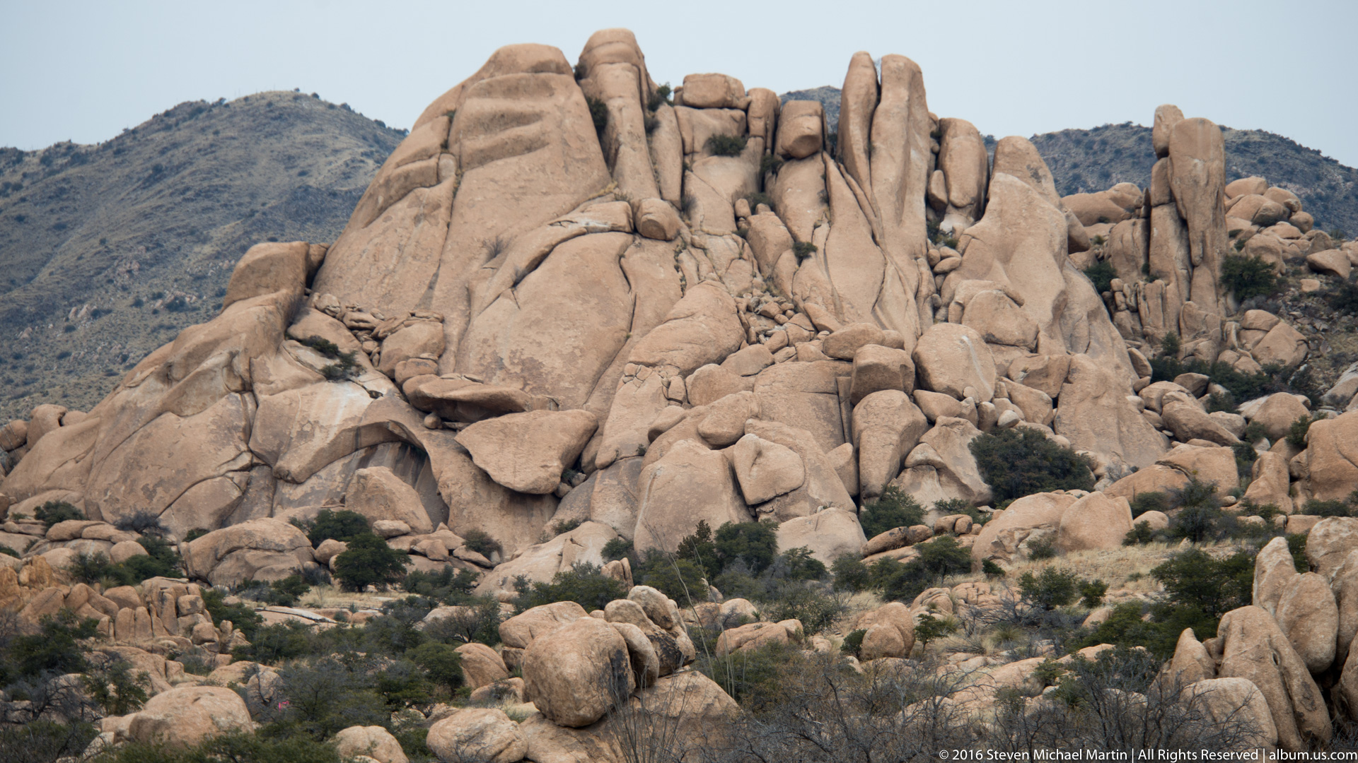
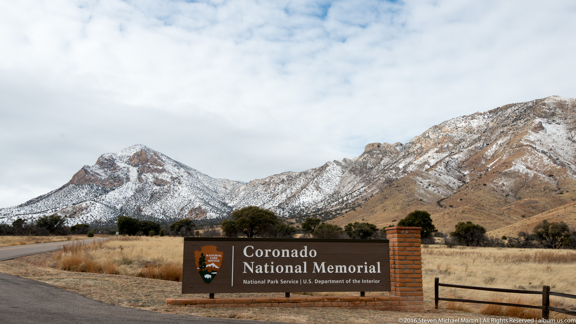
Coronado National Memorial commemorates the expedition of Francisco Vásquez de Coronado, who traveled through the American Southwest during the sixteenth century in search of the Seven Cities of Cíbola. The memorial landscape illustrates the mountainous terrain encountered during early European exploration of the region.
Mountain passes provided pathways through otherwise difficult terrain, connecting desert valleys with upland plateaus. The expedition relied on geographic corridors that had long been used by Indigenous communities. The landscape illustrates how geography influenced early exploration routes.
Today, Coronado National Memorial demonstrates how terrain shaped early travel across the Southwest. The preserved landscape provides insight into the environmental conditions encountered during early exploration of the region.
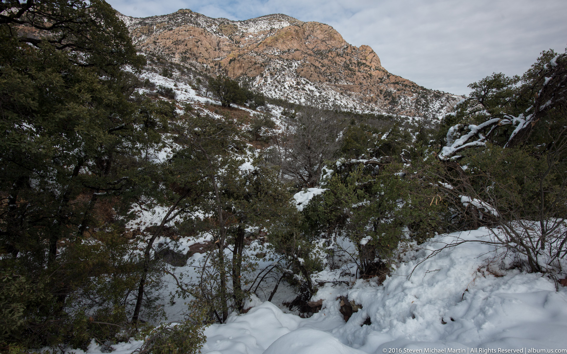













National Monument Field Guide
Coronado National Memorial preserves landscapes associated with early Spanish exploration routes across the Southwest. Mountain corridors provided pathways through desert environments that influenced patterns of travel and cultural interaction. The monument illustrates how geography shaped early exploration routes.
🏛 Key Significance
- Associated with Coronado expedition of 1540–1542
- Mountain landscapes illustrating travel corridors
- Connection to early Spanish exploration history
- Geographic routes linking desert and plateau environments
- Evidence of interaction between cultures and environment
📖 Interpretive Context
Explorers often followed routes shaped by terrain and water availability. Mountain passes allowed travel between regions with differing environmental conditions. The memorial illustrates how geographic features influenced early exploration pathways.
📷 Photography Notes
- Elevated viewpoints show desert basin landscapes
- Mountain ridges illustrate travel corridors
- Wide compositions emphasize terrain scale
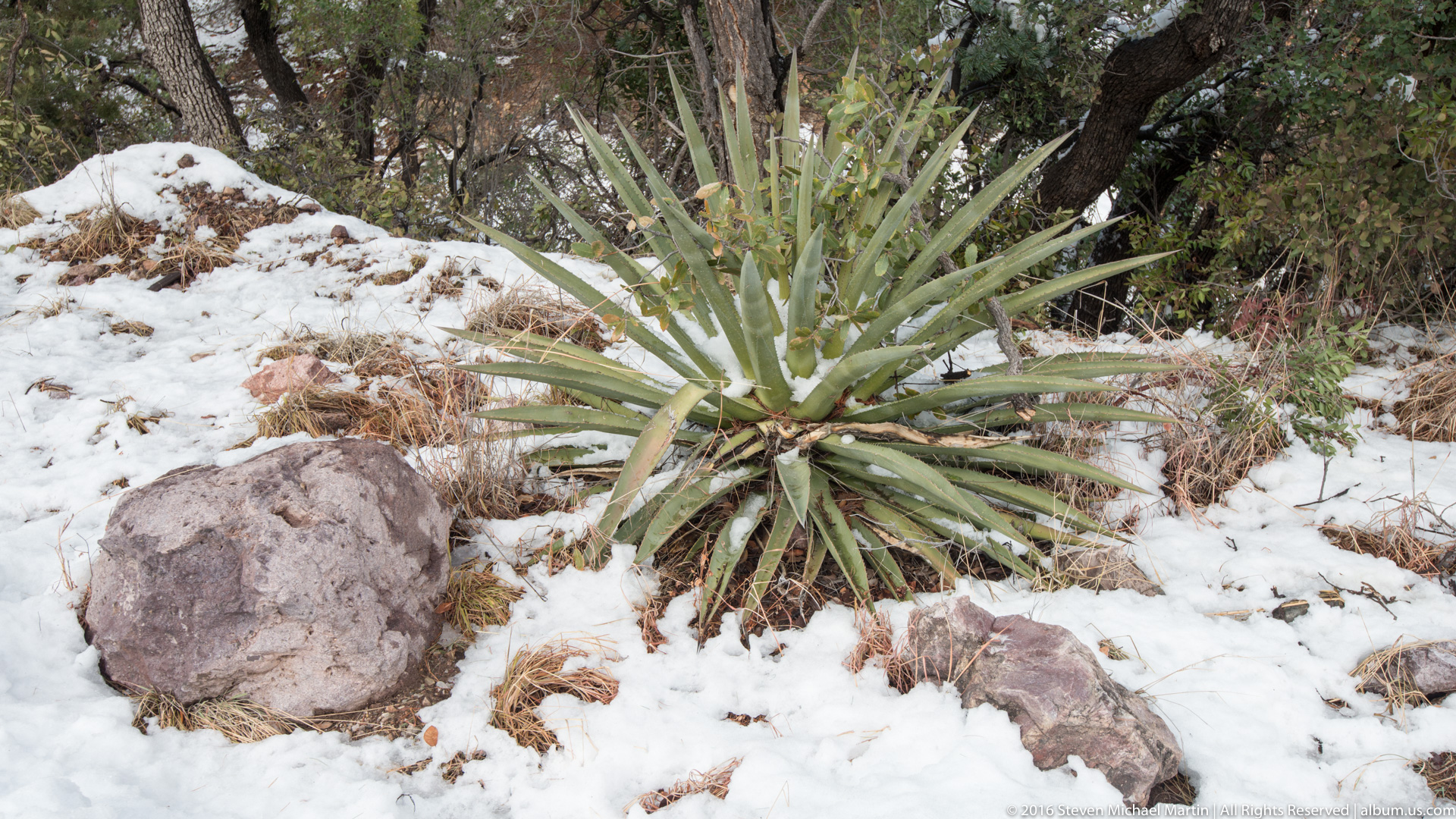
- Observe transition between desert and upland vegetation