Shenandoah Skyline Drive
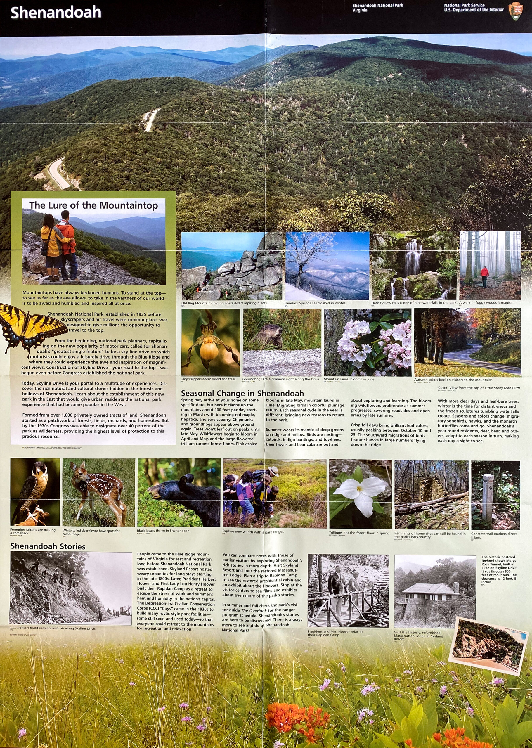
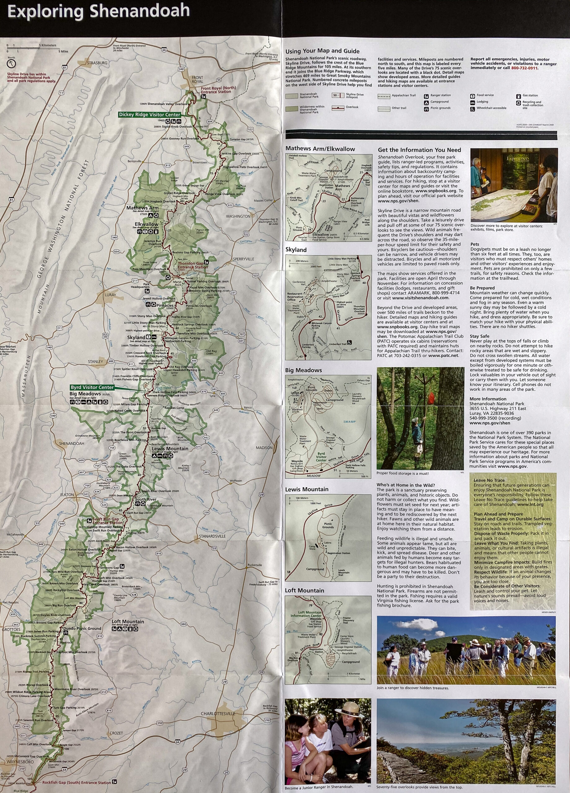
Skyline Drive follows the crest of the Blue Ridge Mountains through Shenandoah National Park, creating one of the most significant scenic roadways in the eastern United States. Constructed as part of the early development of the park, the route was designed to reveal the mountain landscape gradually through a sequence of overlooks, curves, and changing elevations. The roadway traces the ridgeline for more than one hundred miles, linking forested slopes, rocky outcrops, and broad valley views in a continuous experience of Appalachian topography.
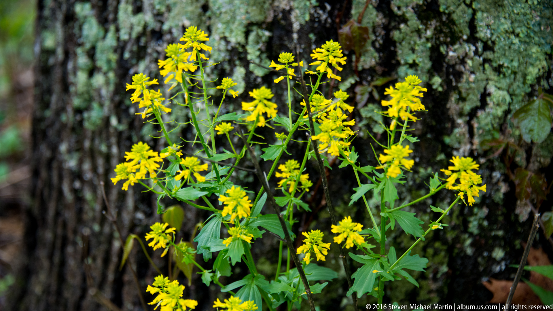
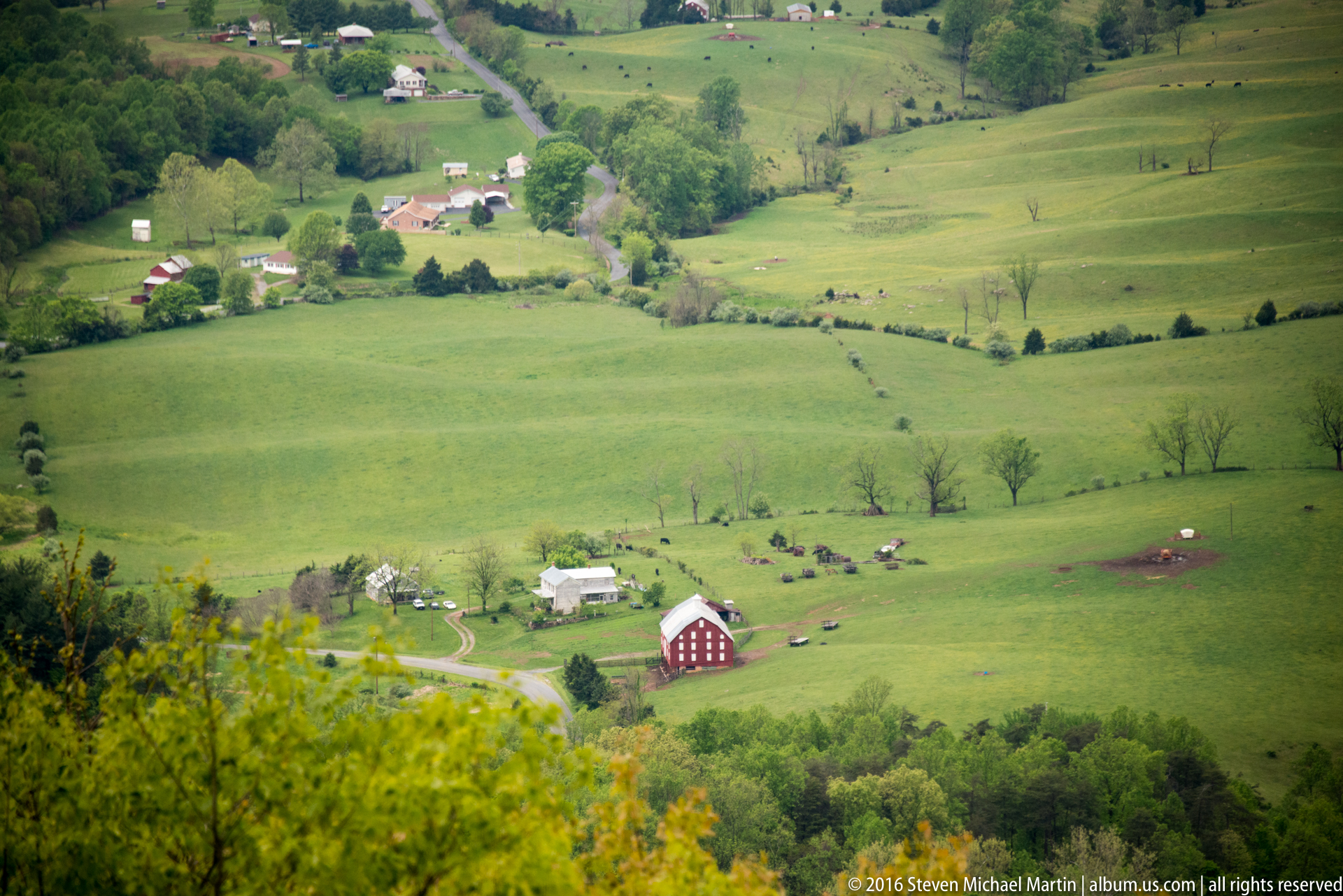
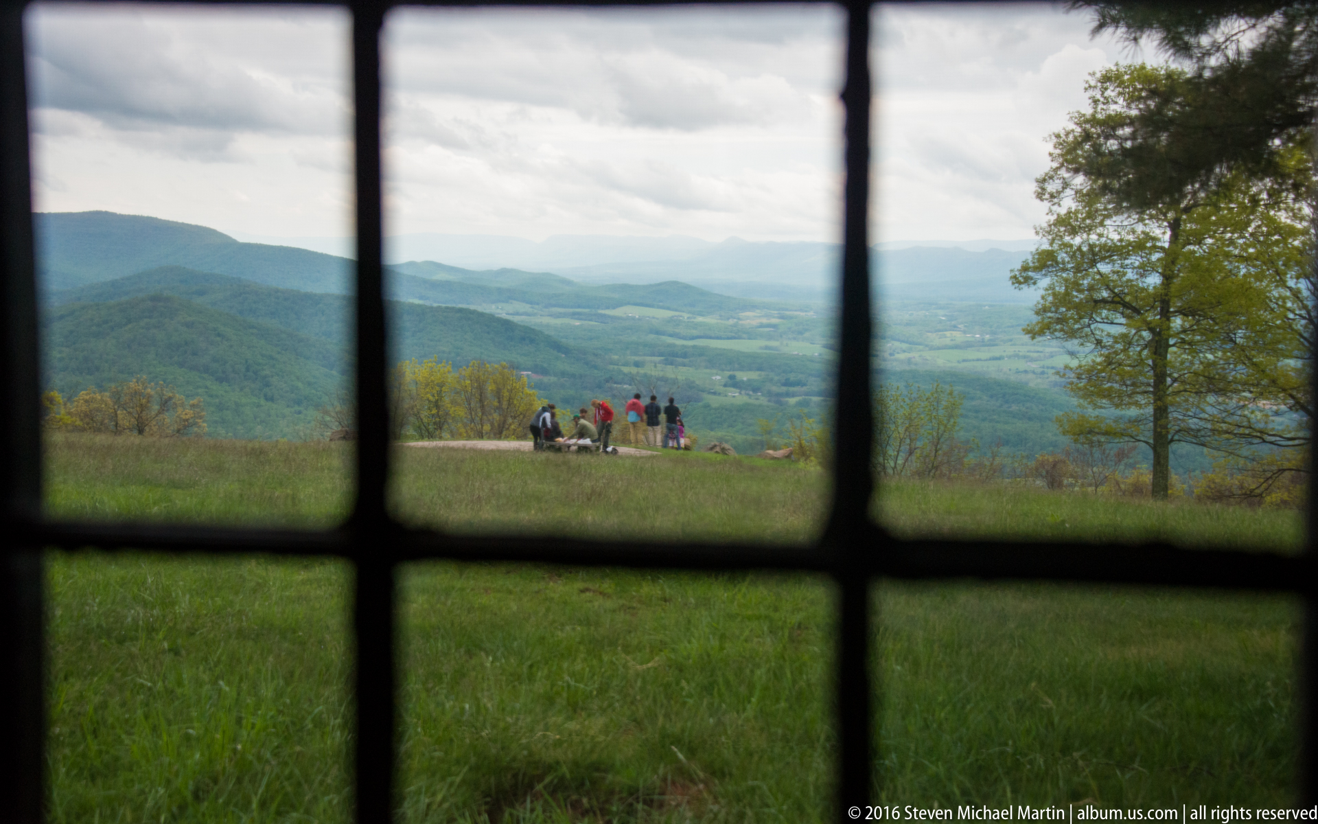
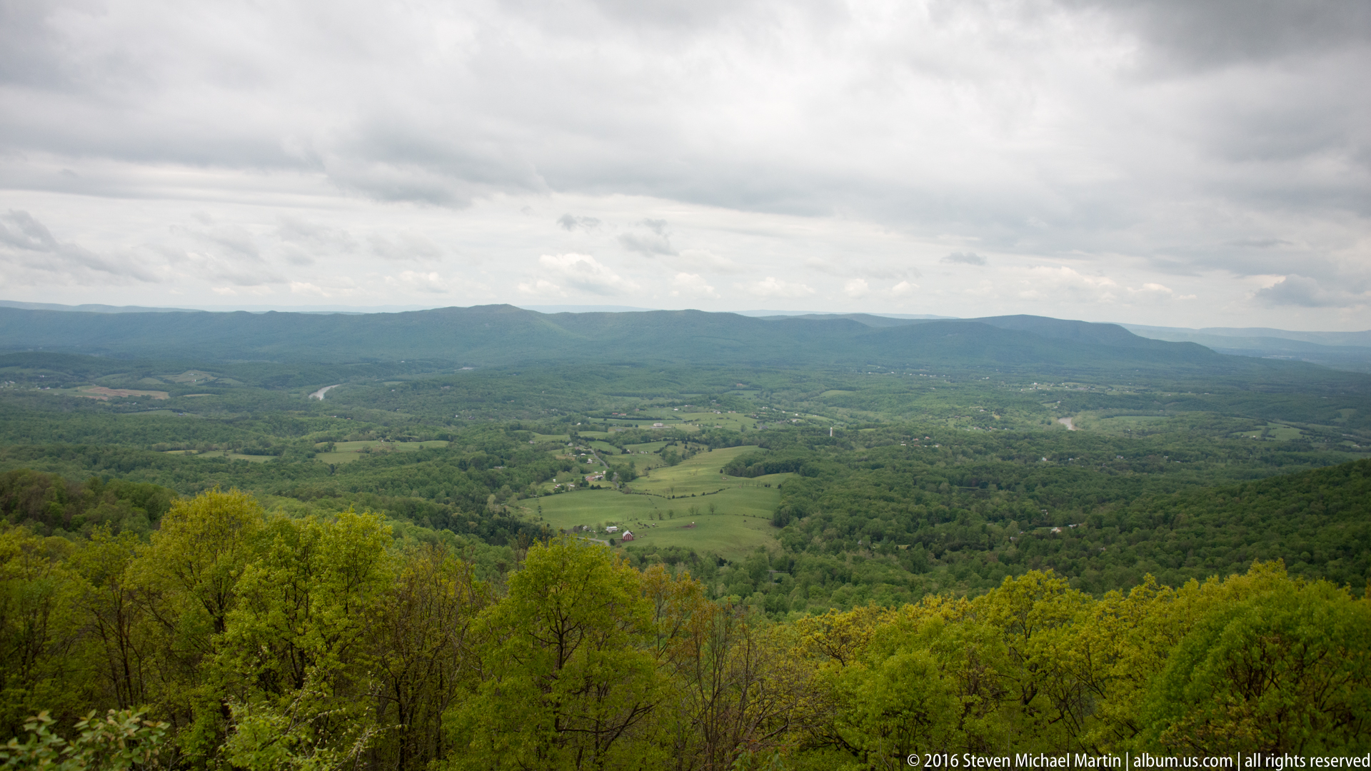
The drive illustrates how roadway design can be shaped by landscape rather than imposed upon it. Overlooks open westward toward the Shenandoah Valley and eastward toward the Virginia Piedmont, allowing the relationship between mountain crest and surrounding lowlands to remain visually central throughout the route. Seasonal change strongly affects the character of the drive, from spring wildflowers and summer forest canopy to autumn color and winter visibility through bare trees, making the roadway itself a way of reading the ecological rhythms of the Blue Ridge.
Skyline Drive contributes to understanding the role of scenic infrastructure within the history of conservation in the United States. It demonstrates how public access to protected landscapes was designed not only for transportation, but also for interpretation and appreciation of natural form. As a defining feature of Shenandoah National Park, the drive reflects the continuing importance of landscape design in shaping how mountain environments are experienced and understood.
\
























Shenandoah National Park
📍 Overview
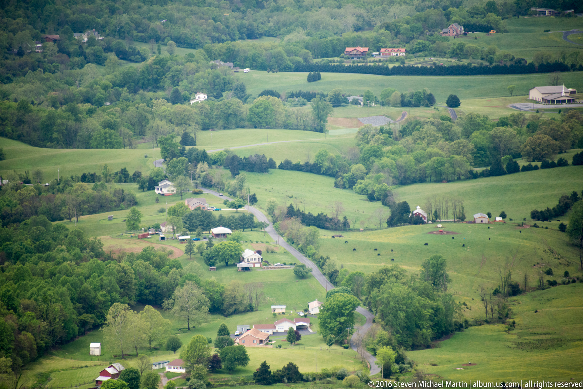
Skyline Drive follows the crest of the Blue Ridge Mountains through Shenandoah National Park, providing continuous access to high-elevation viewpoints, forest ecosystems, and trailheads across more than one hundred miles of protected Appalachian landscape. The roadway was constructed to reveal the natural structure of the mountains through a gradual sequence of overlooks and changes in elevation, allowing observation of the Shenandoah Valley to the west and the Piedmont to the east.
🧭 Quick Facts
- Location: Virginia
- Length: 105 miles
- Mountain range: Blue Ridge Mountains
- Highest elevation along drive: over 3,600 feet
- Connects to: Blue Ridge Parkway
🌄 Landscape & Natural Features
- Ridgeline mountain views
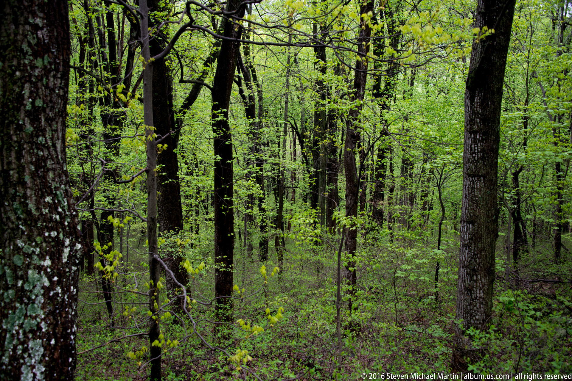
- Forested slopes dominated by oak and hickory
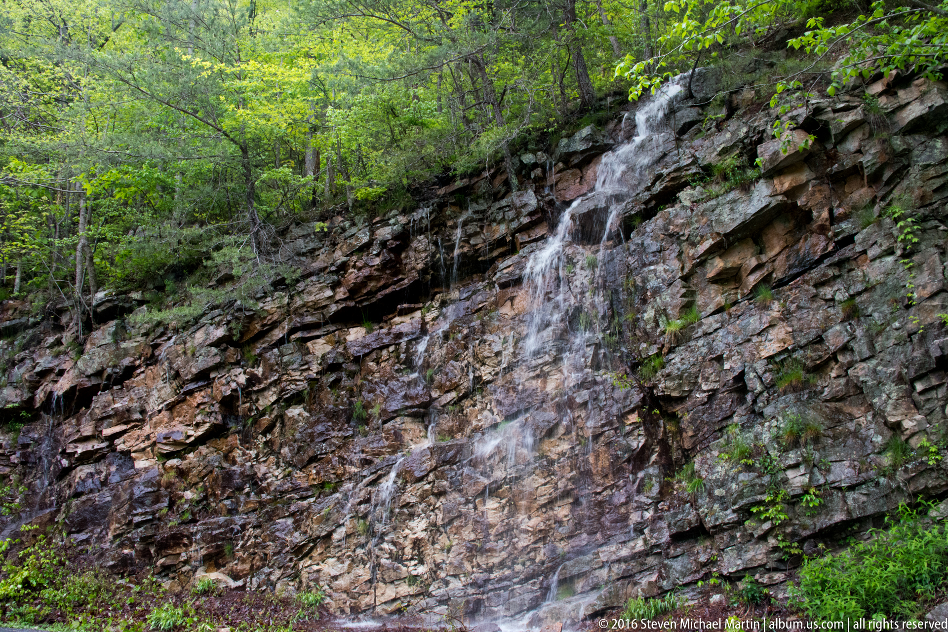
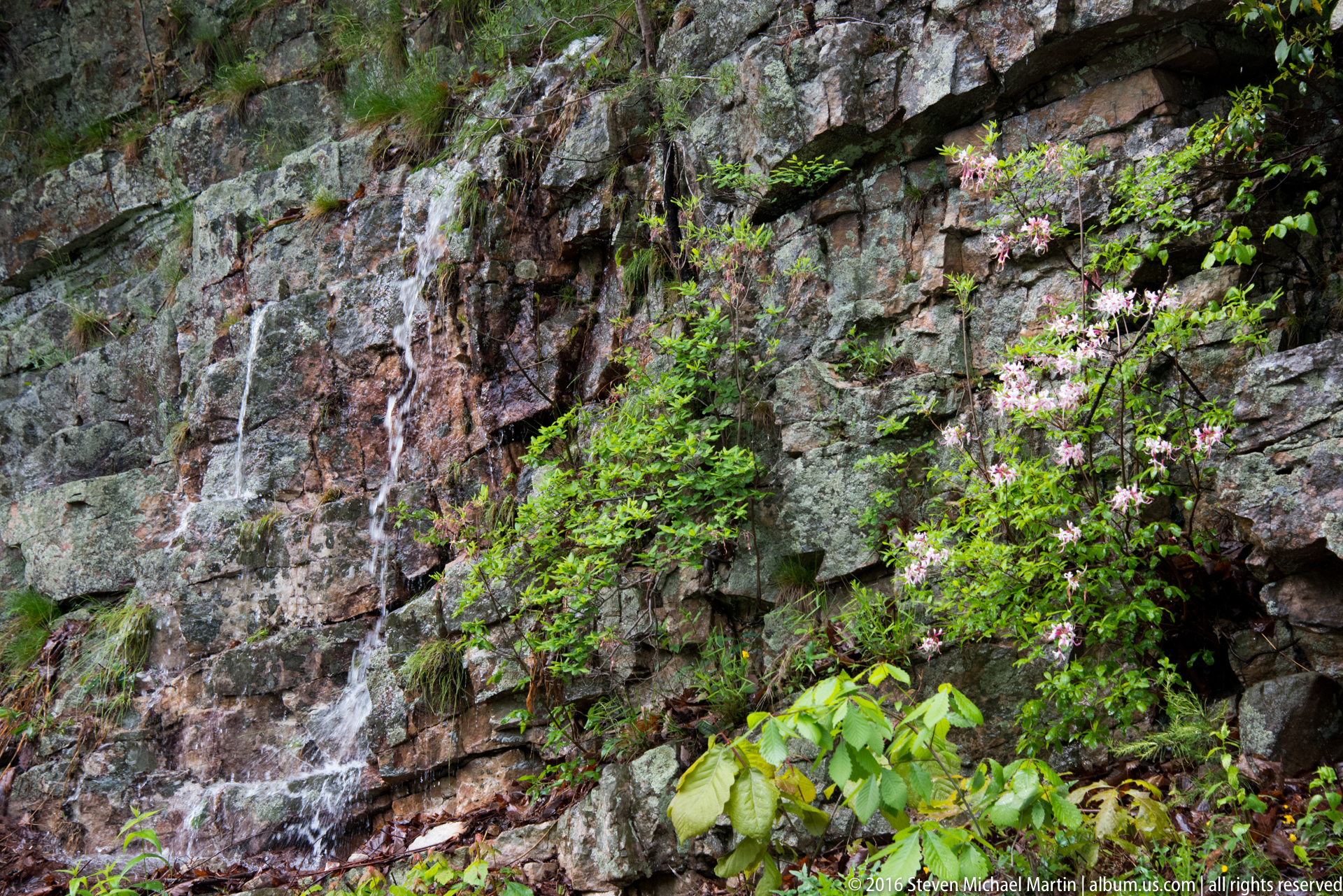
- Rock outcrops and exposed cliff faces
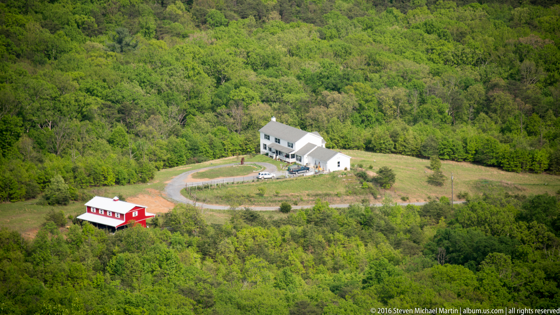
- Overlooks facing Shenandoah Valley and Piedmont
- Access points to waterfalls and interior trails
🪨 Geology
- Ancient Appalachian mountain formations
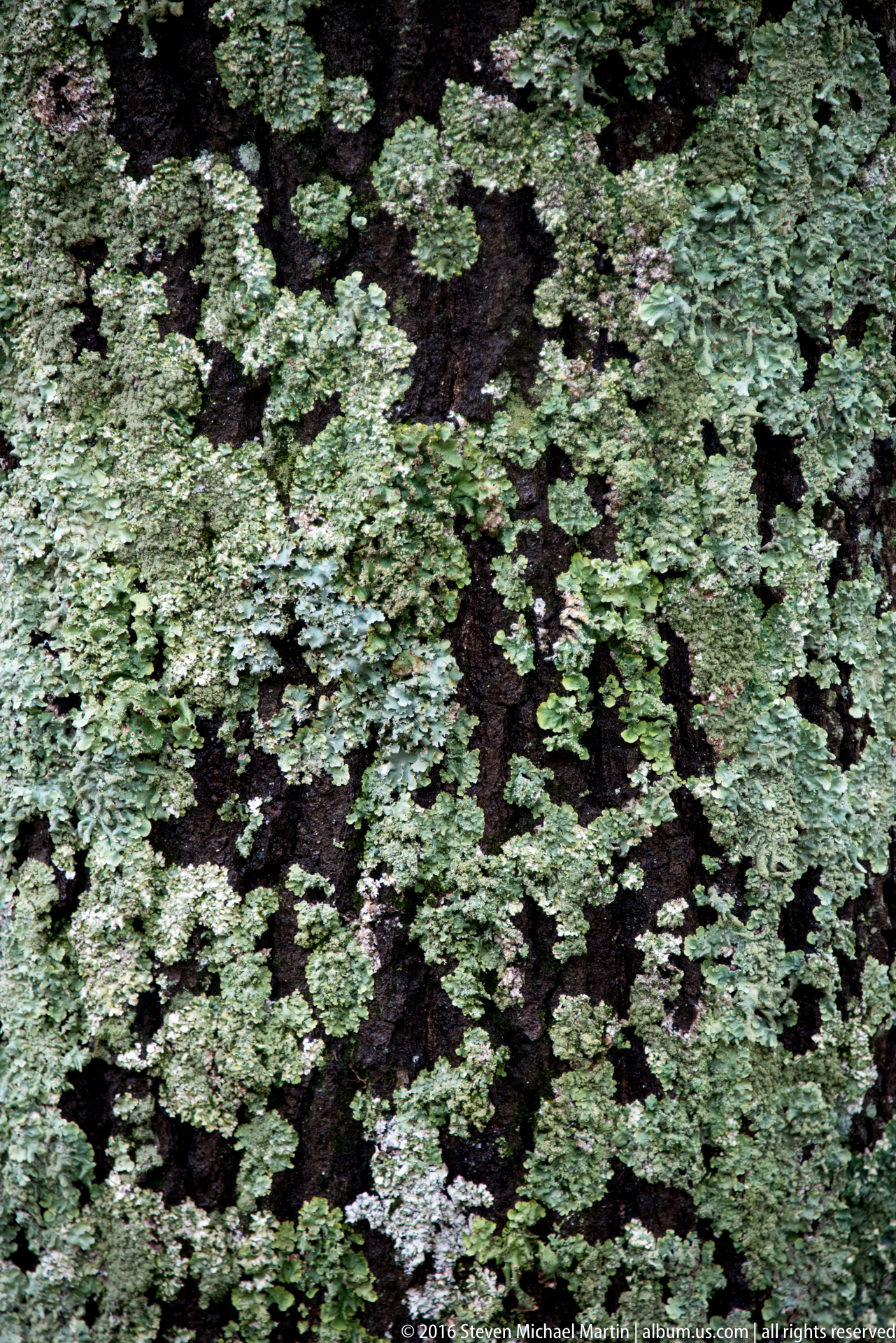
- Rounded ridges shaped by long-term erosion
- Quartzite and granite bedrock
- Evidence of uplift and weathering over geologic time
🦌 Wildlife
- White-tailed deer frequently visible near overlooks
- Black bear habitat throughout park forests
- Wild turkey and other ground birds
- Songbirds and migratory species
- Small mammals adapted to woodland ecosystems
📷 Photography Notes
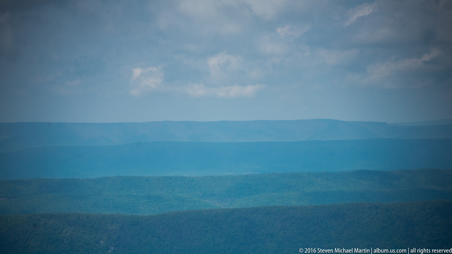
- Overlooks provide layered mountain compositions
- Morning fog often settles in the Shenandoah Valley
- Fall foliage creates strong color contrast
- Sunrise and sunset produce directional ridge lighting
- Changing weather conditions create atmospheric depth