Cumberland Gap National Historical Park
Cumberland Gap National Historical Park preserves a natural mountain pass through the Appalachian Mountains that served as a critical corridor for migration into the interior of North America. The gap formed through geological processes that created a lower elevation passage between ridges, allowing movement through otherwise difficult terrain. For centuries, wildlife and Indigenous communities used this natural route before European settlers followed similar paths westward.
During the late eighteenth century, Daniel Boone helped establish the Wilderness Road through the Cumberland Gap, enabling settlers to travel into Kentucky and the Ohio River Valley. The gap became one of the most important early transportation corridors connecting eastern colonies with western frontier lands. The surrounding mountains illustrate how geography influenced patterns of exploration and settlement.
Today, Cumberland Gap demonstrates how natural landforms shape historical movement across landscapes. The preserved terrain illustrates how mountain passes provided practical routes that influenced migration patterns and the development of early frontier communities.

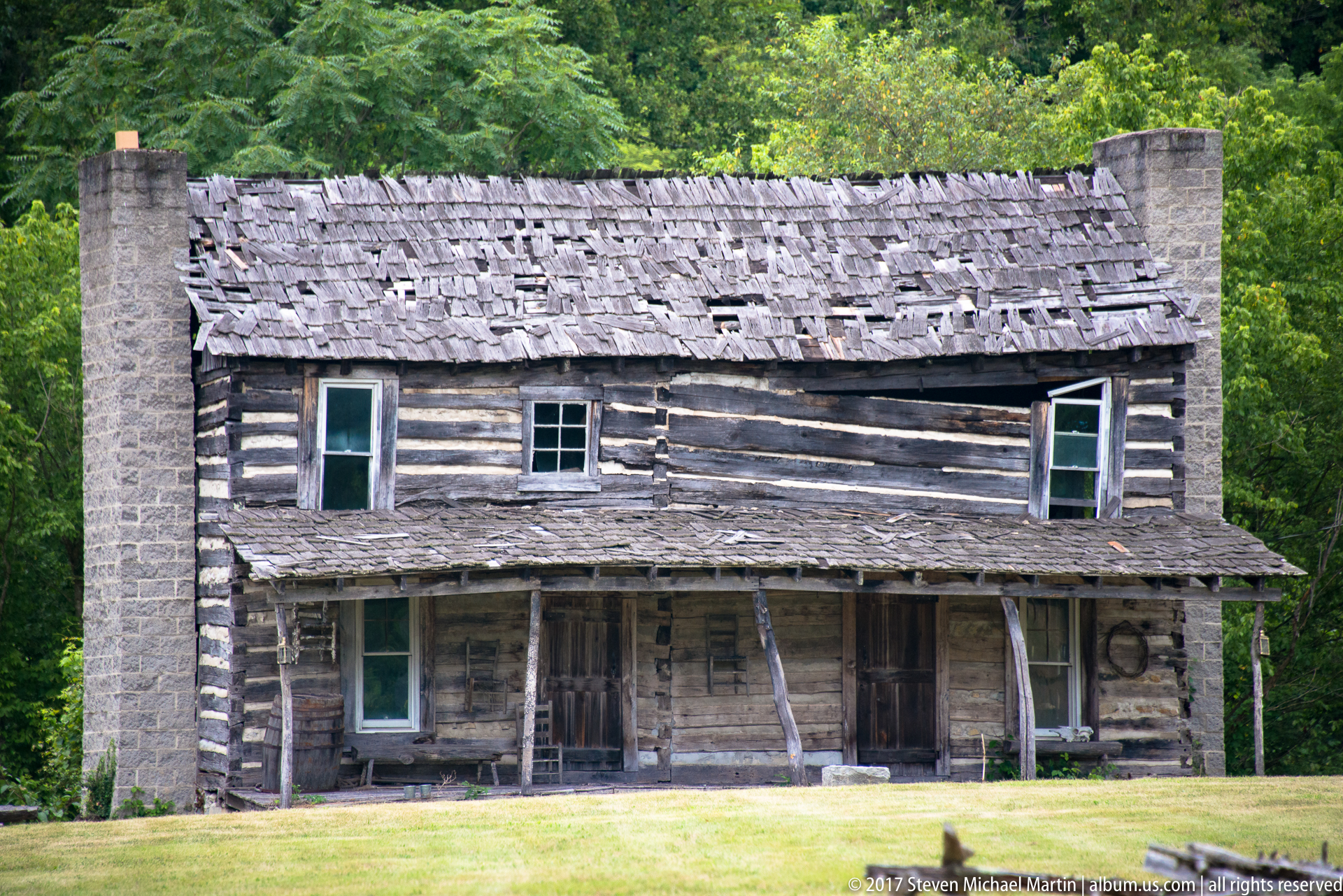


Historic Site Field Guide
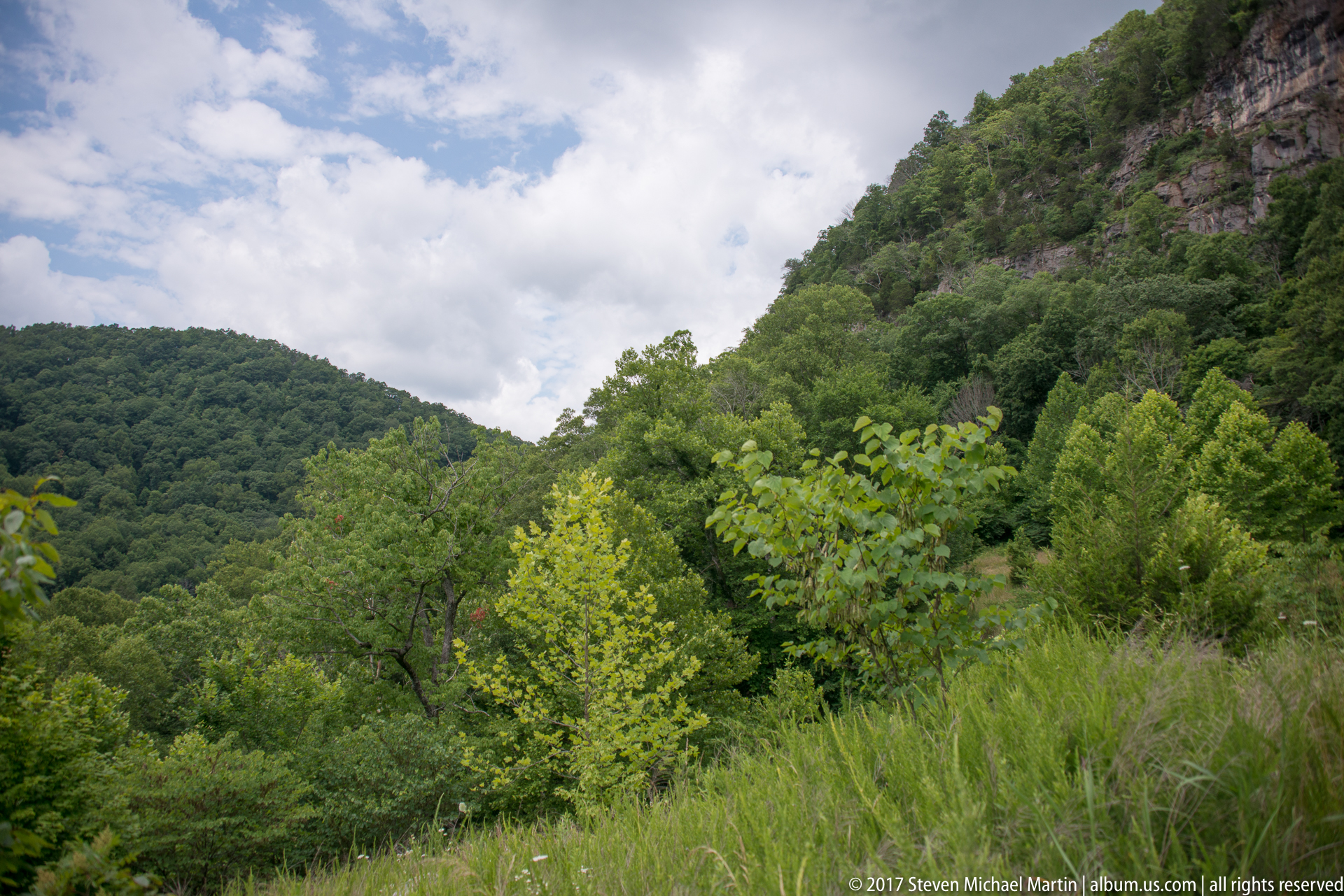
Cumberland Gap preserves one of the most important natural passages through the Appalachian Mountains. The gap allowed travel between eastern settlements and the interior frontier, influencing migration patterns during the late eighteenth century. The landscape illustrates how geological formations shaped transportation routes and facilitated expansion into Kentucky and the Ohio River Valley.
🏛 Historical Significance
- Natural mountain pass used for migration into Kentucky
- Part of the Wilderness Road established in 1775
- Travel corridor used by wildlife, Indigenous communities, and settlers
- Key geographic gateway to the western frontier
- Landscape illustrating interaction between terrain and settlement
📖 Interpretive Context
Mountain ridges created natural barriers to travel across the Appalachian region. Cumberland Gap formed where geological processes lowered the elevation between surrounding ridges, allowing passage through otherwise difficult terrain. The gap illustrates how geographic features influenced early exploration routes and migration patterns across eastern North America.
📷 Photography Notes
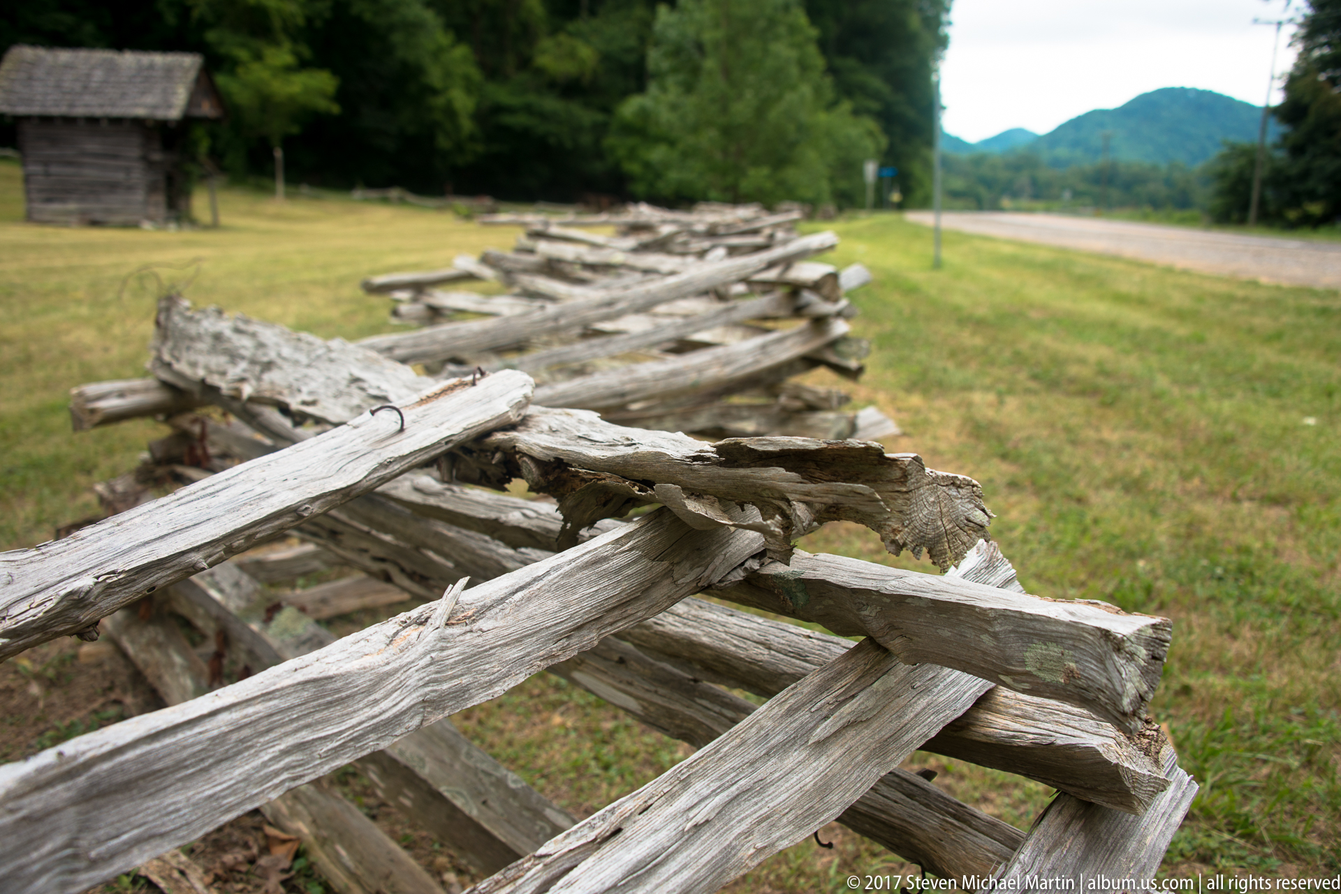
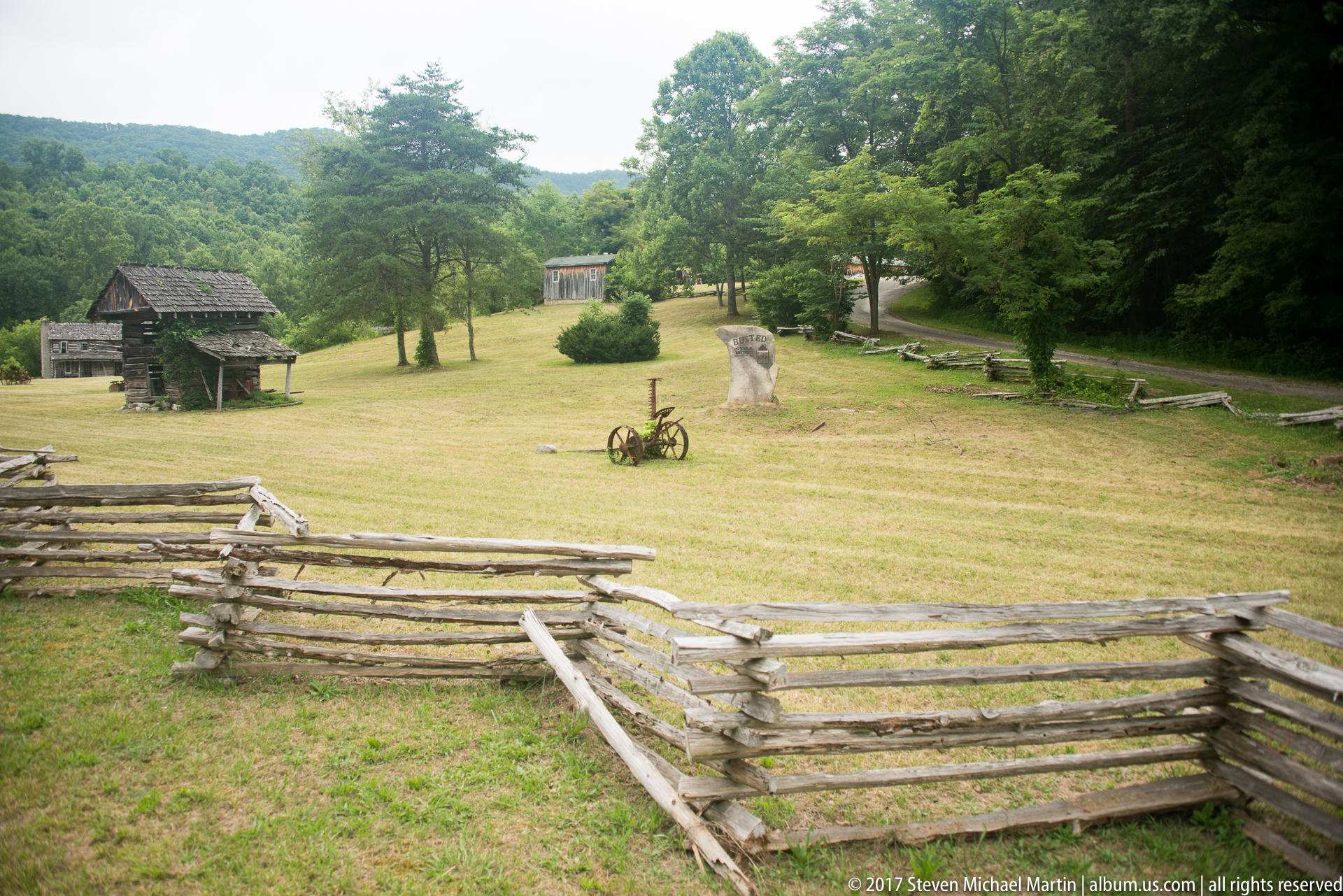
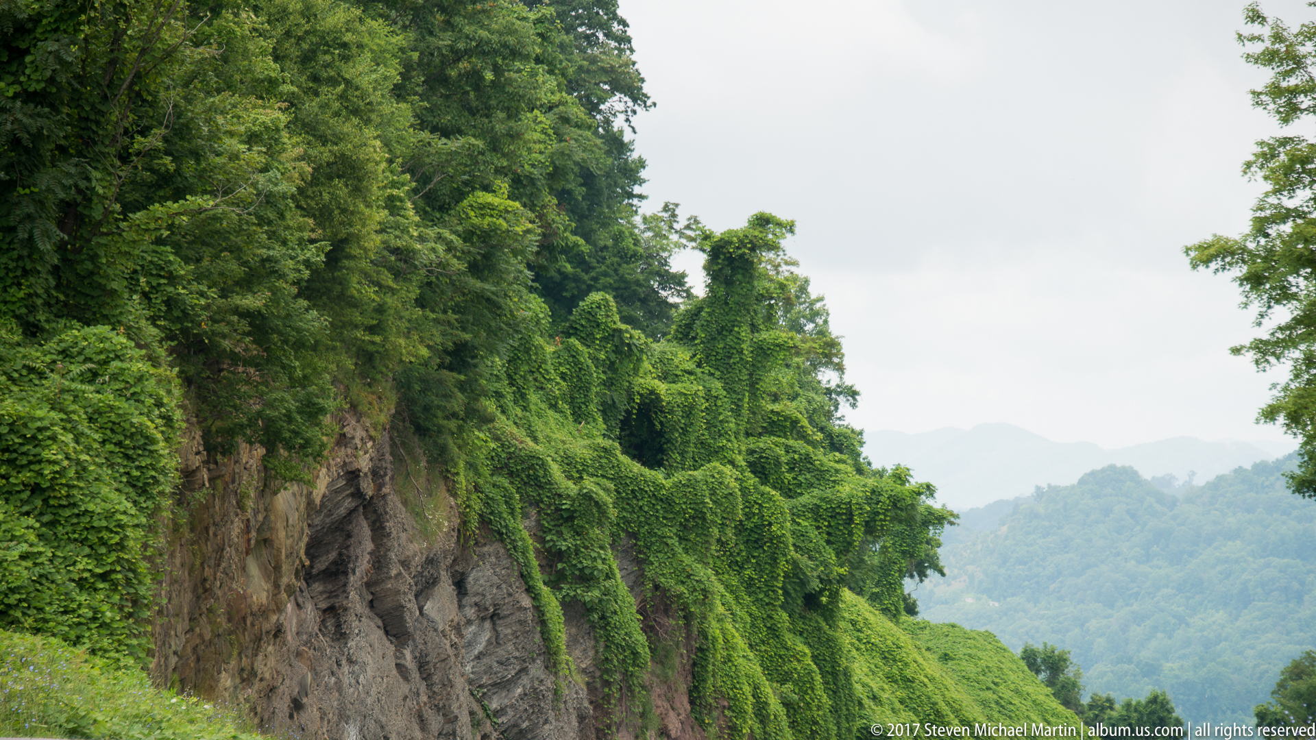
- Mountain ridgelines illustrate geographic barriers
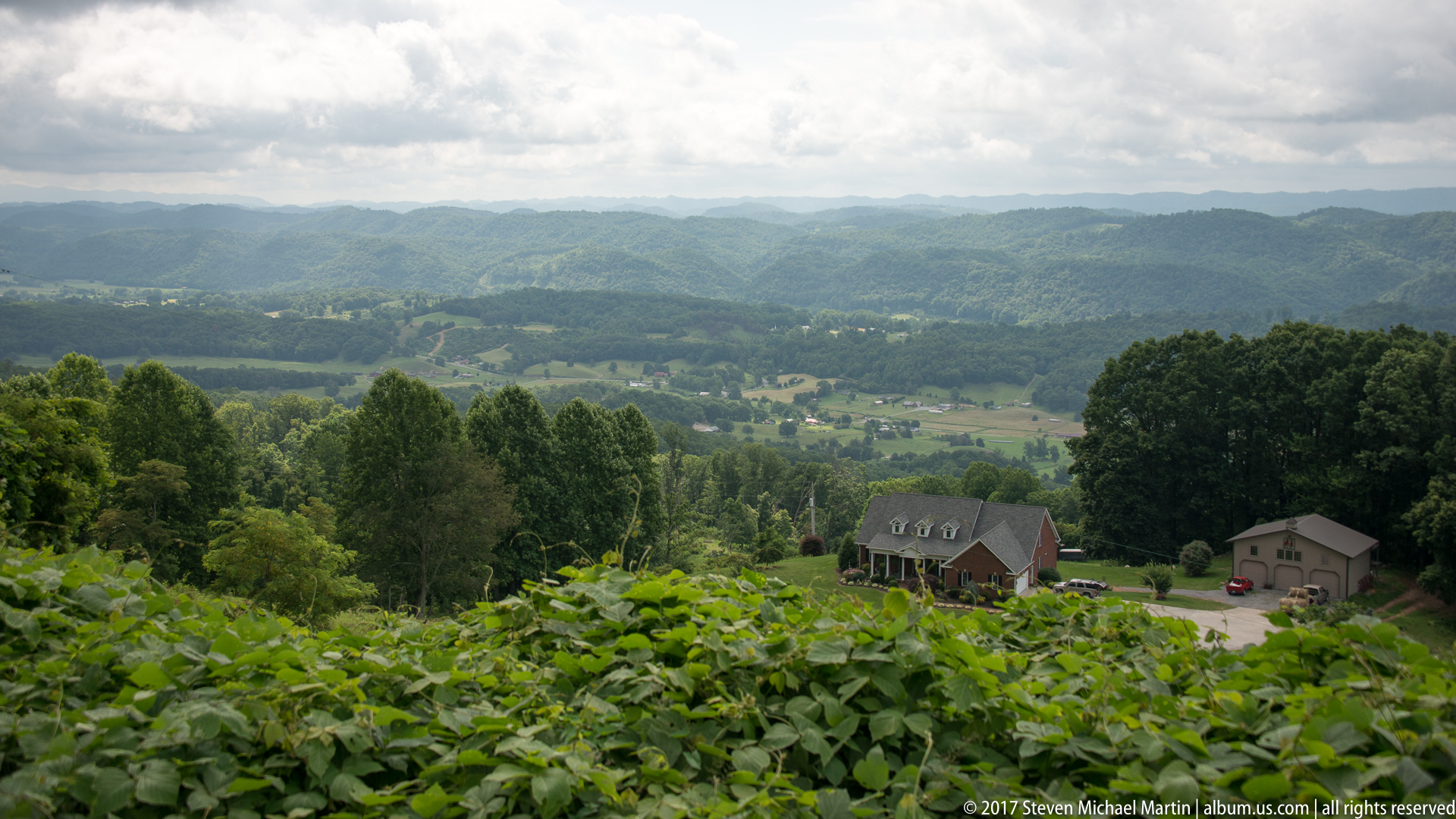
- Wide views emphasize scale of Appalachian terrain
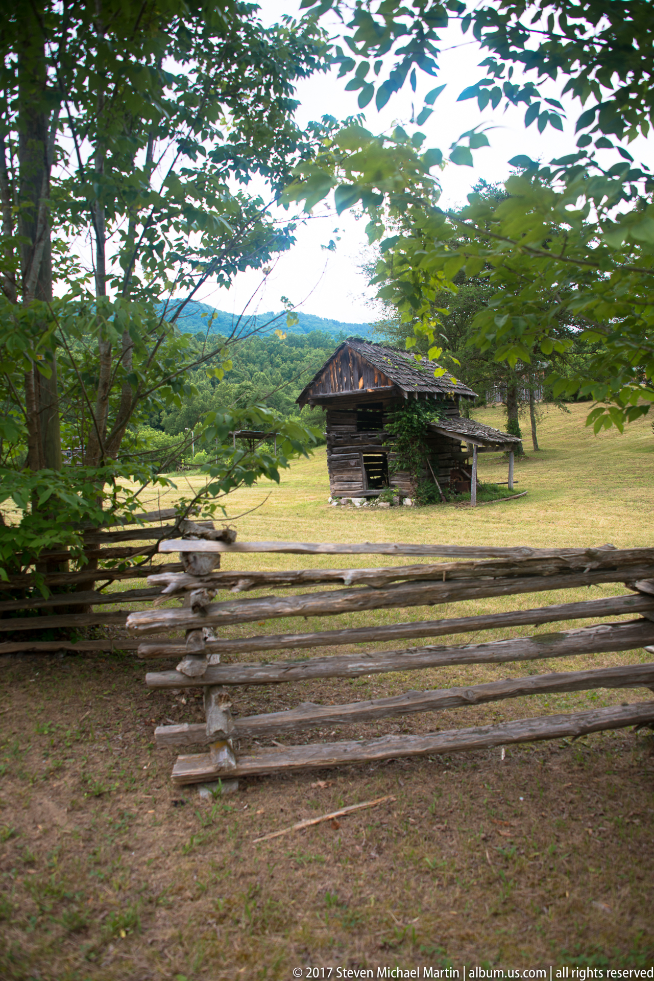
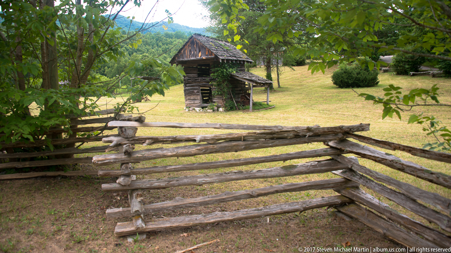
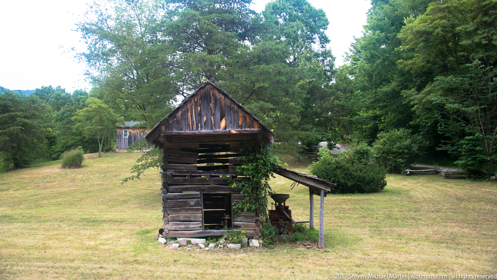
- Forest environments reflect early travel conditions
- Elevated viewpoints show route through the gap