Hickman Bridge – Capitol Reef National Park
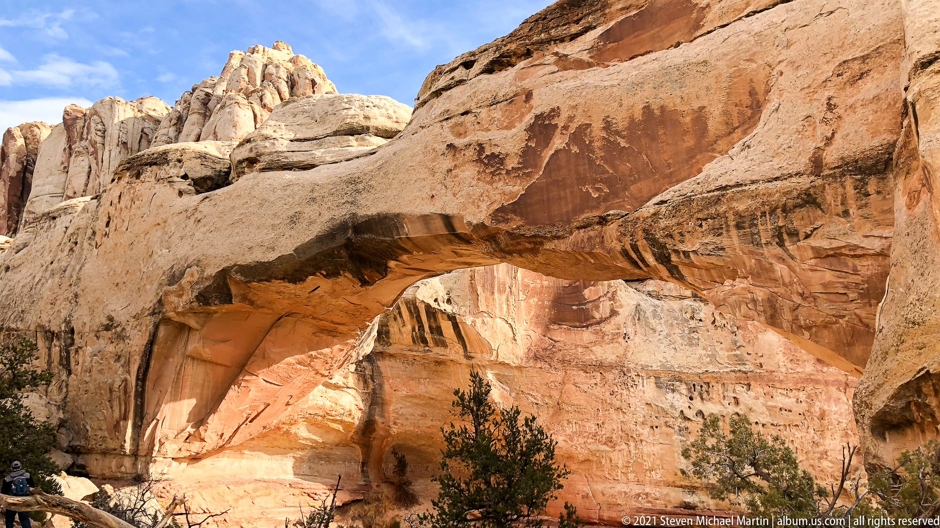
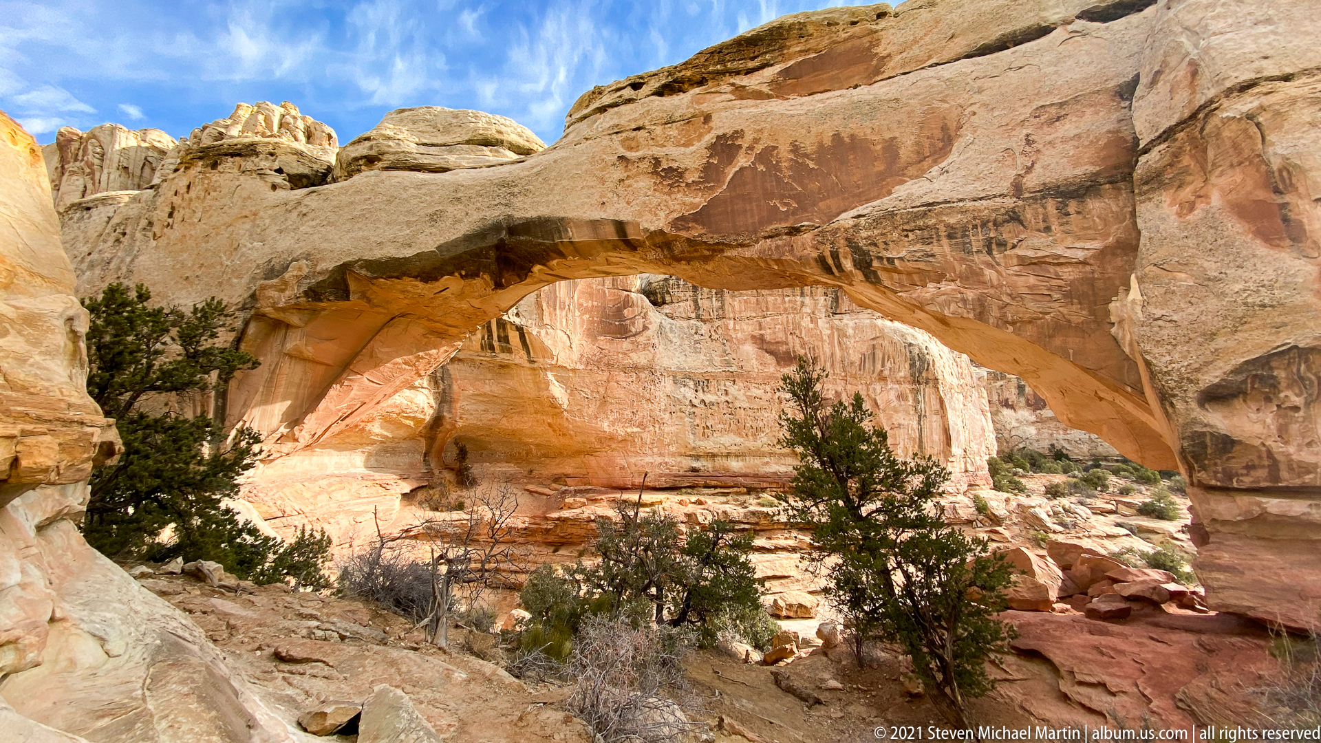
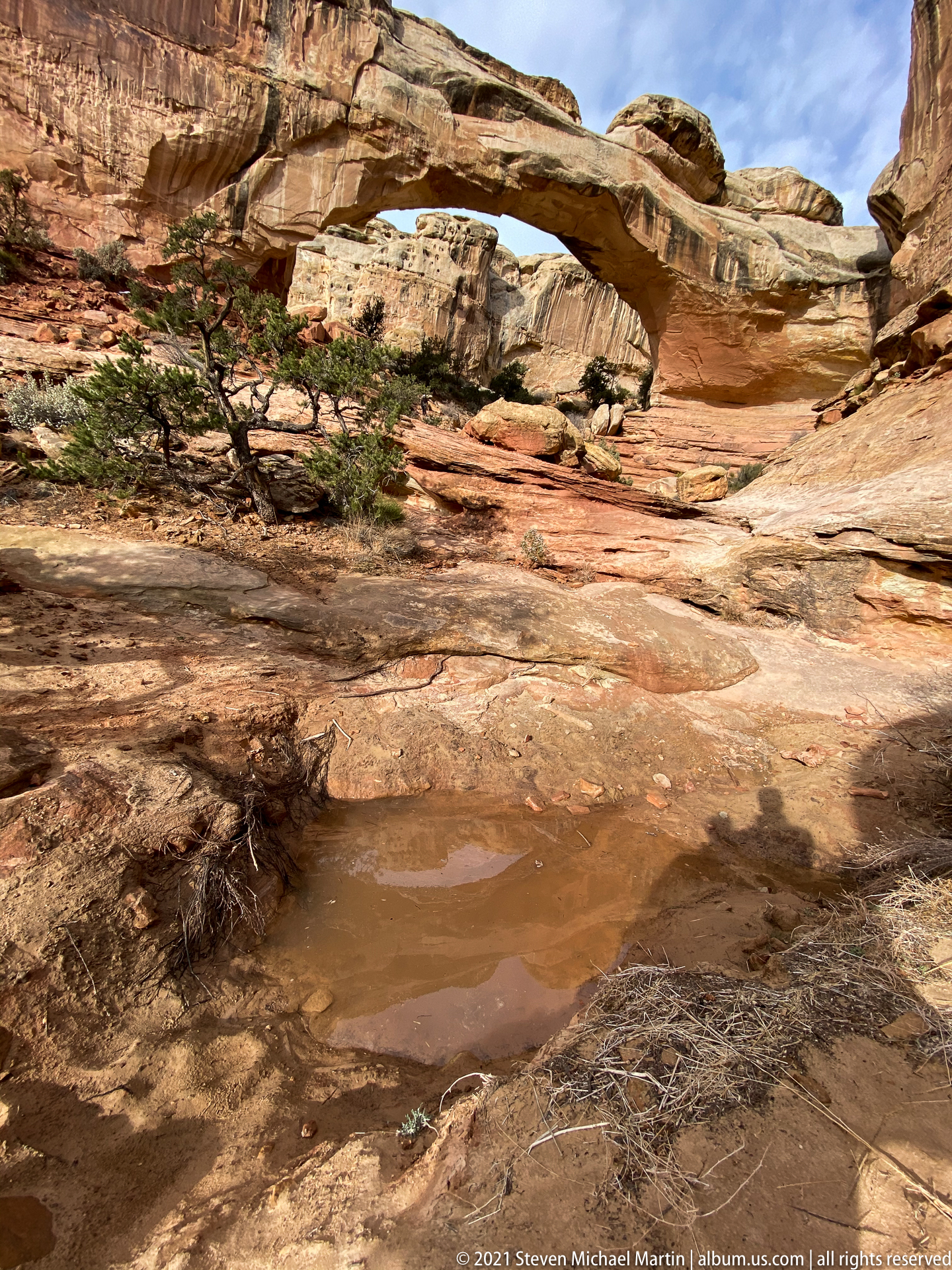
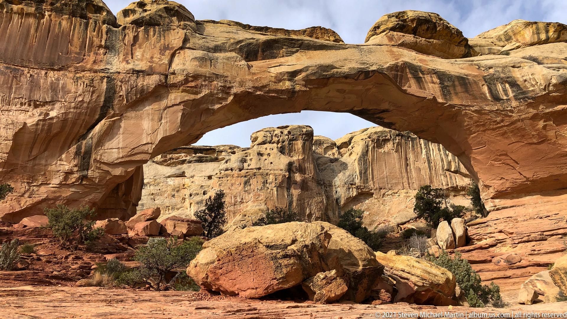
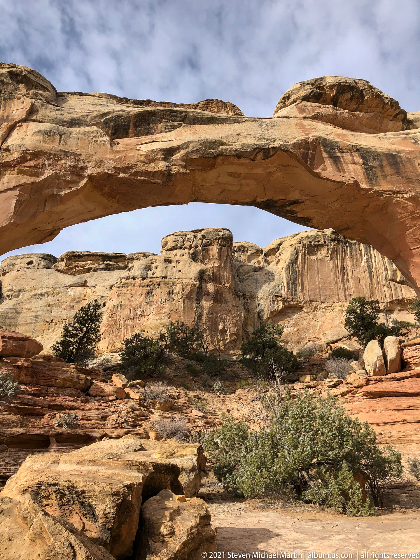
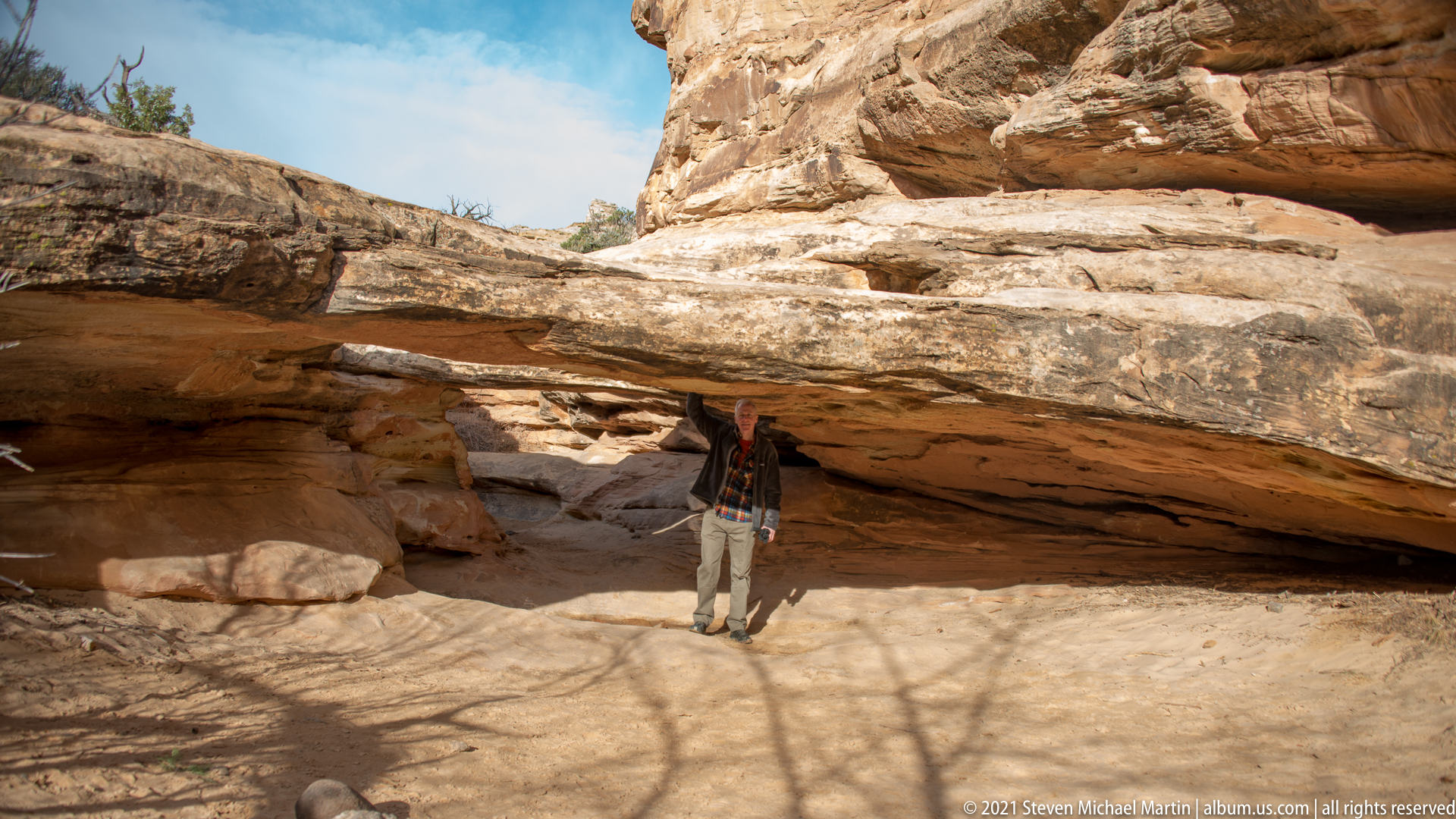
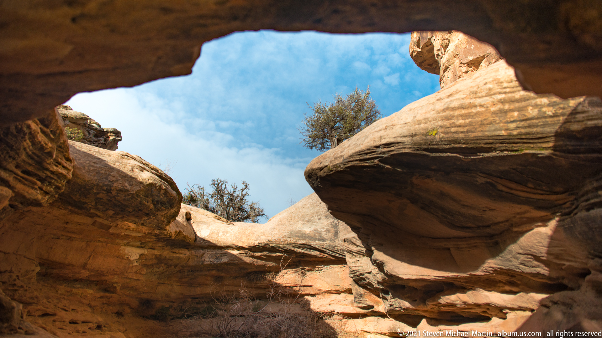
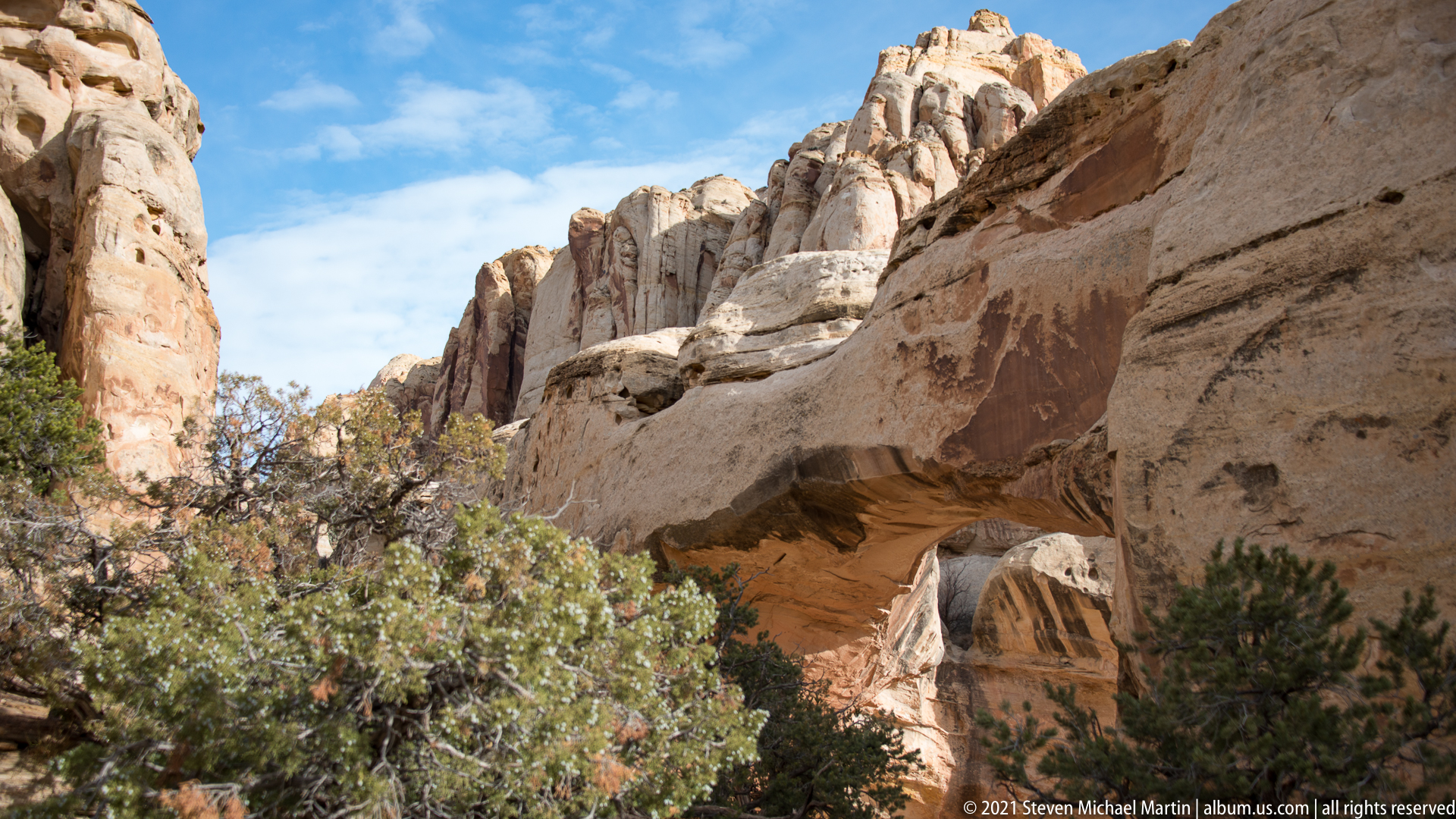
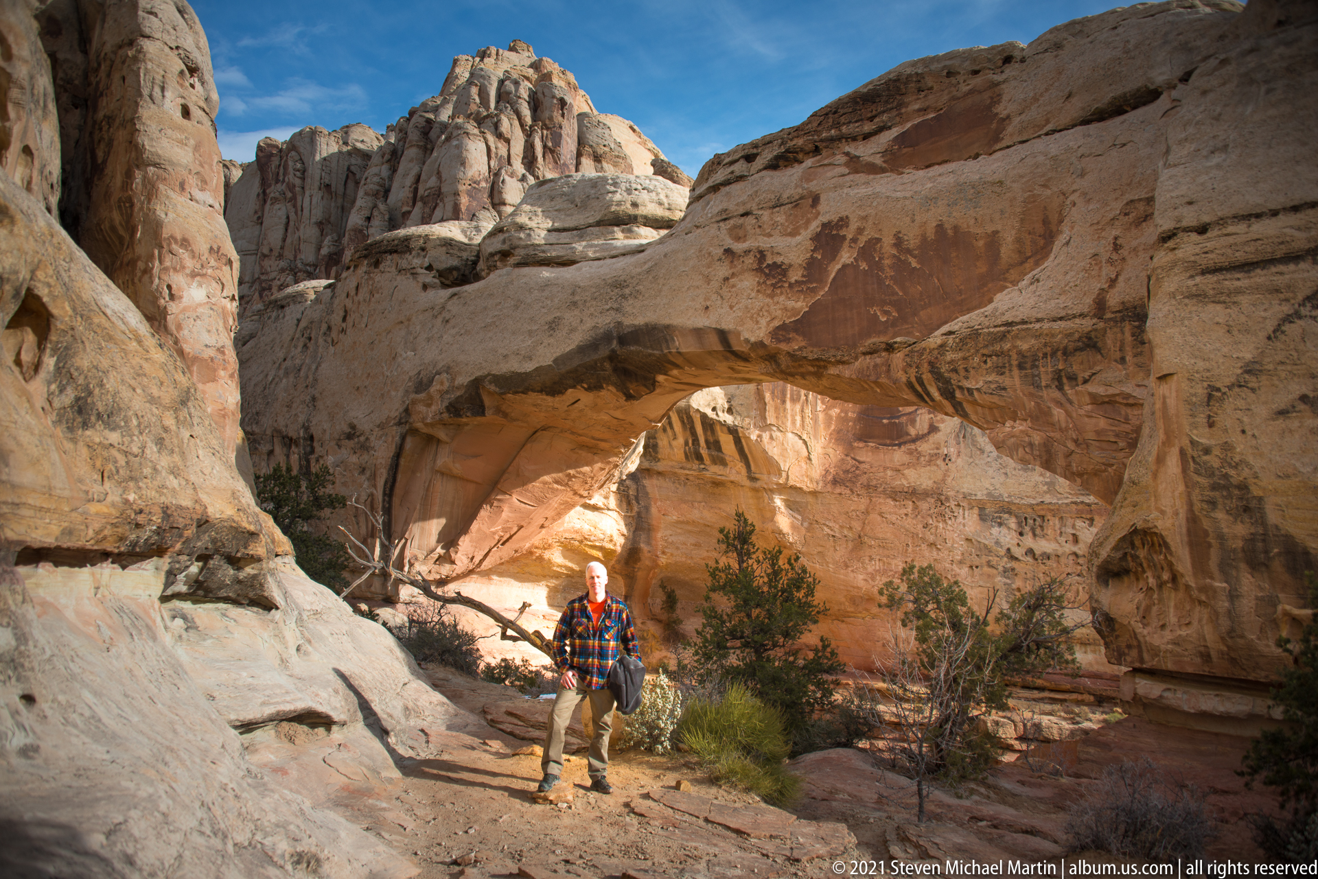
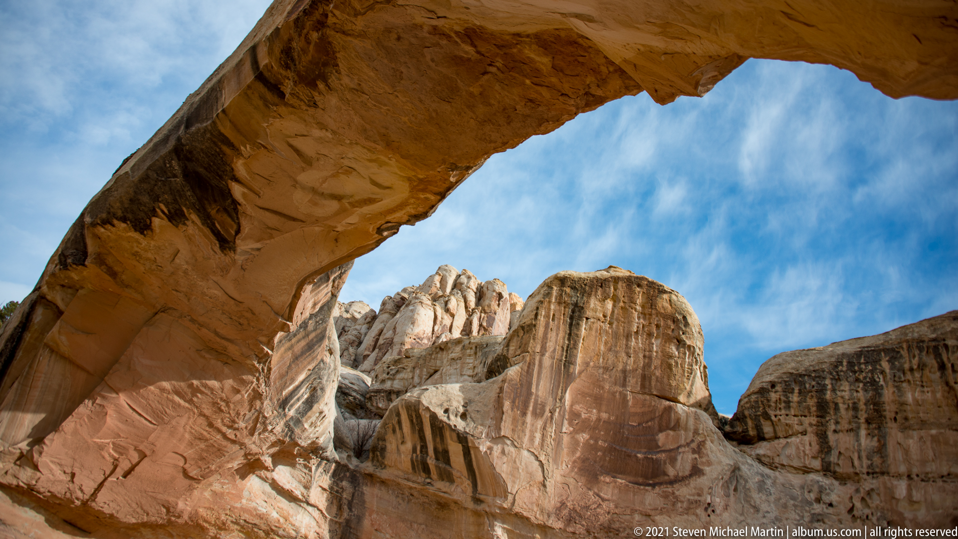
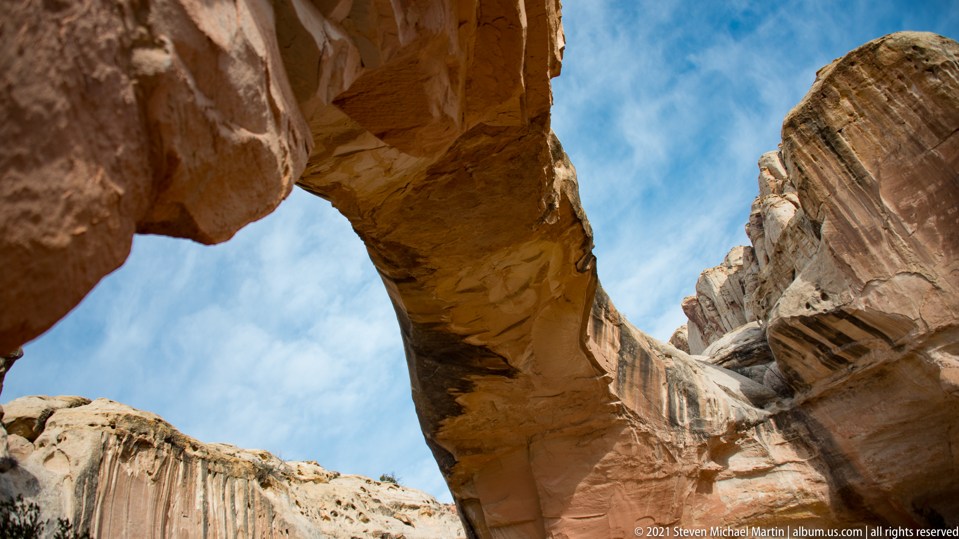
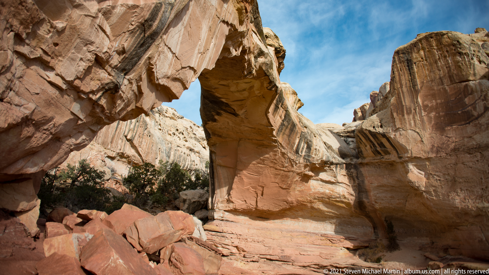
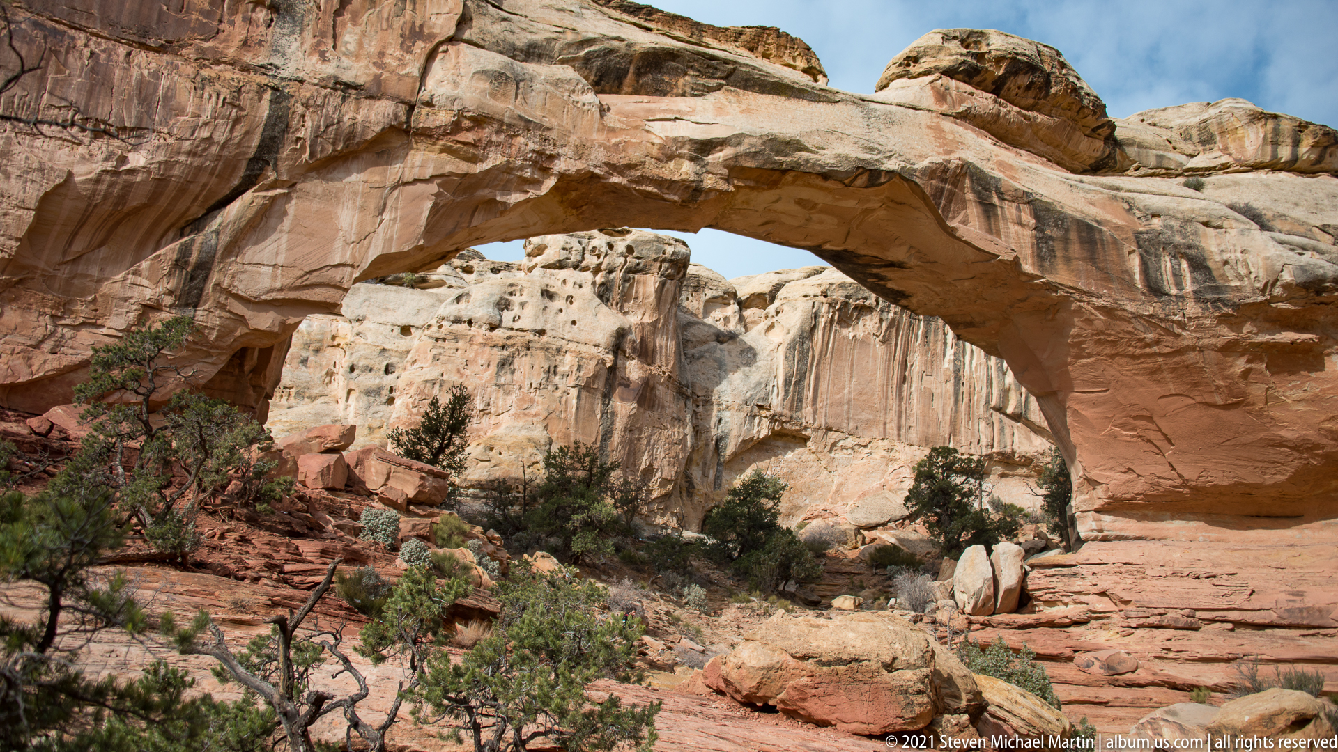
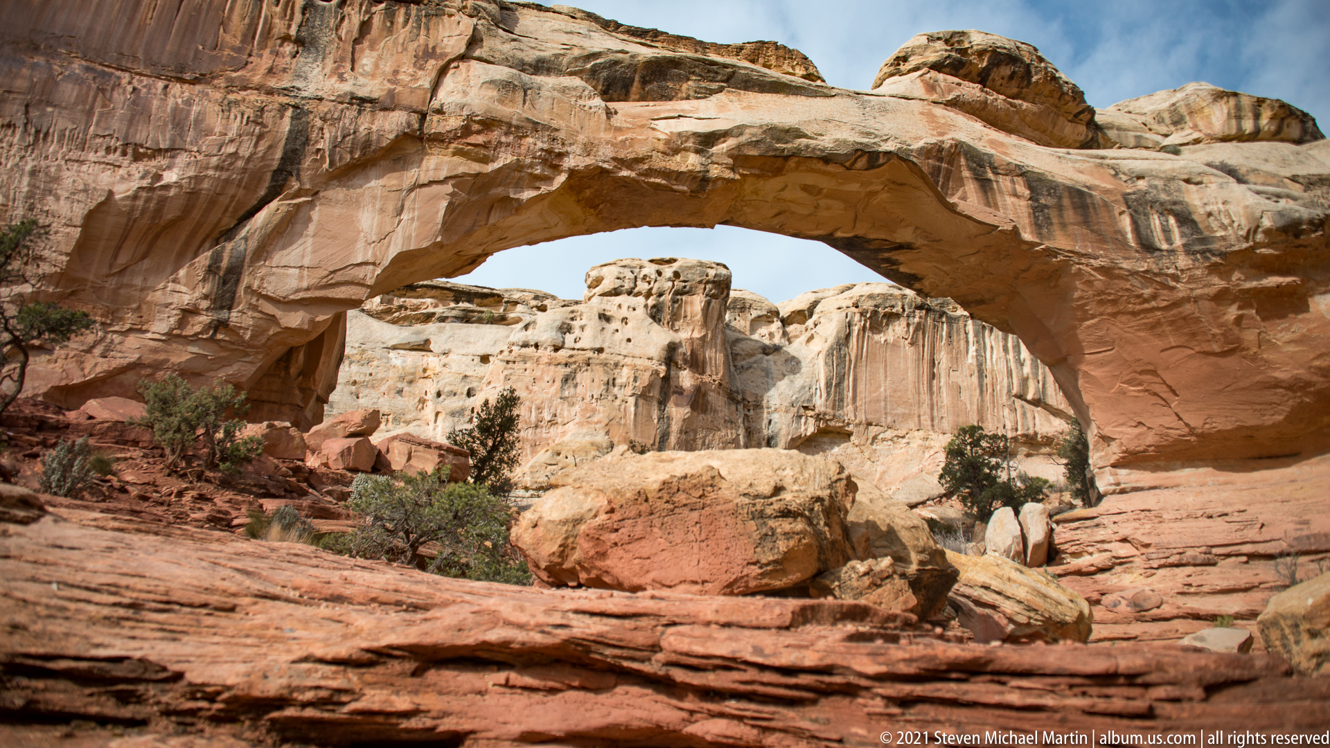
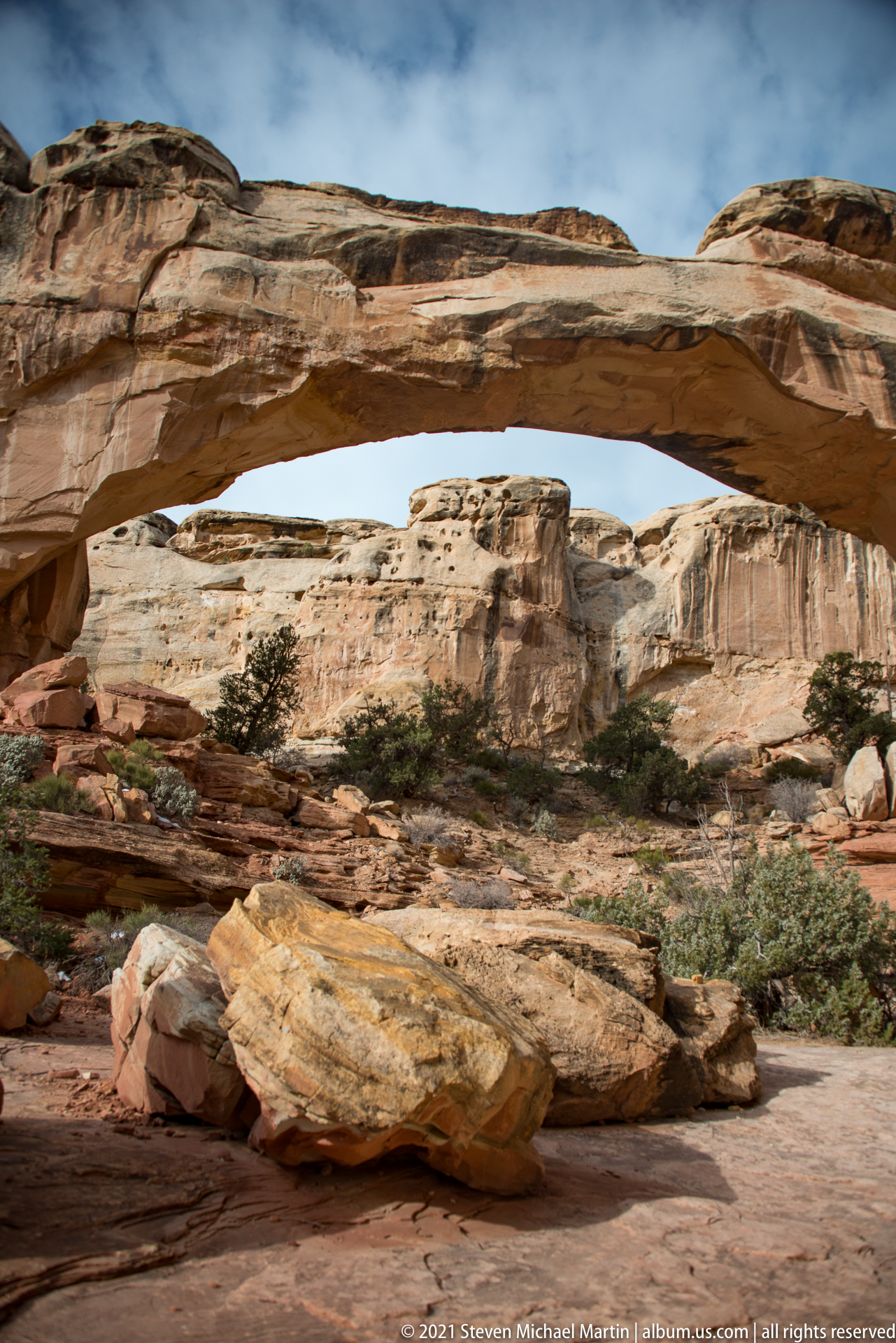
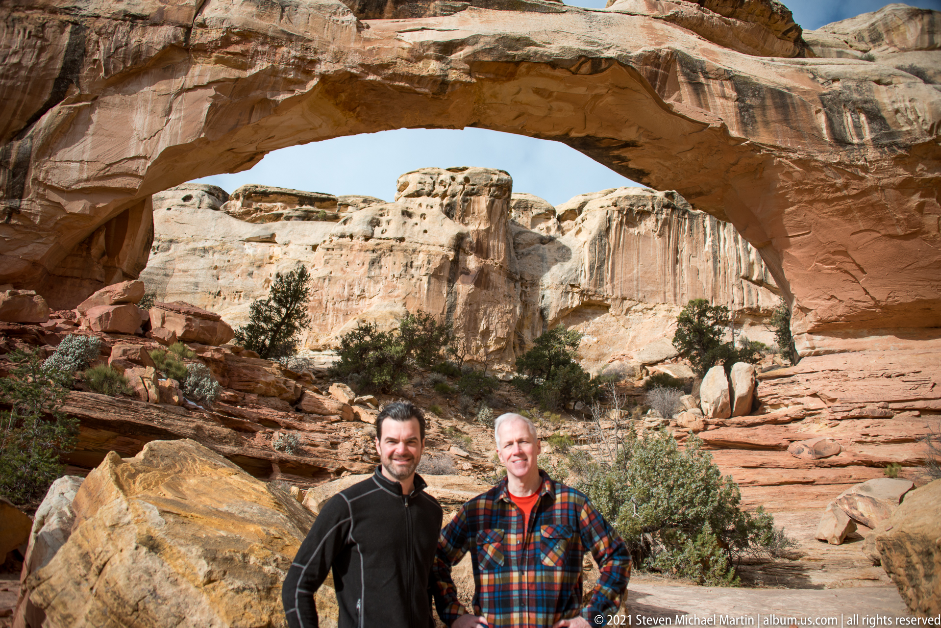
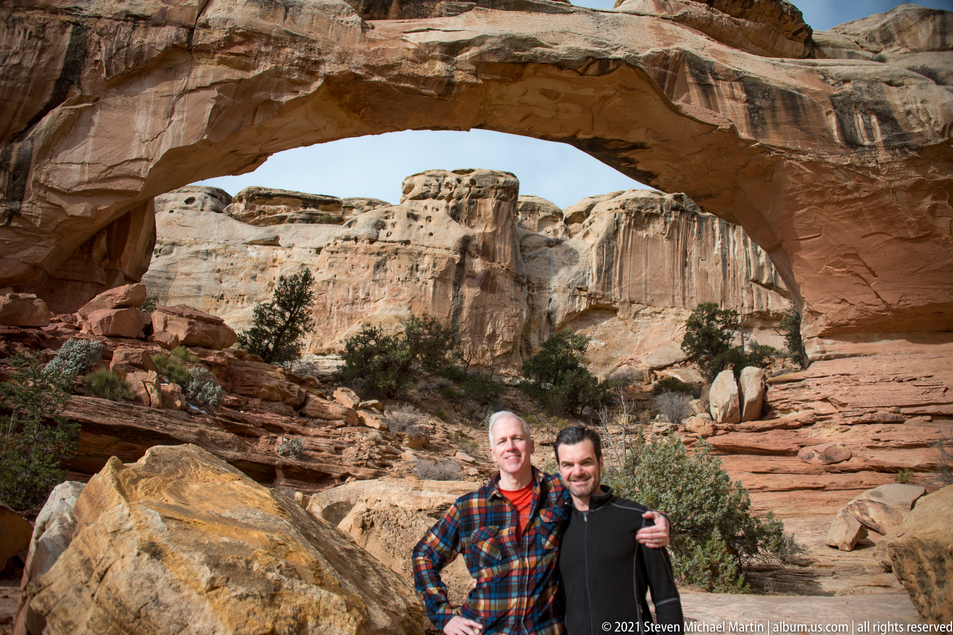
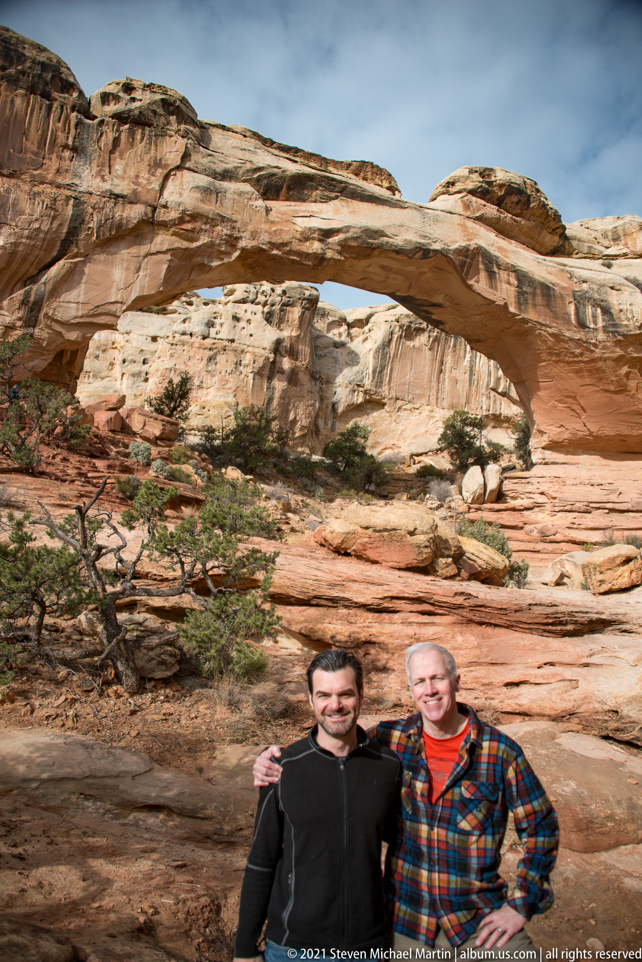
Hickman Bridge is a natural sandstone arch formed through erosion acting upon sedimentary rock layers uplifted by tectonic forces. The formation spans a canyon corridor shaped by the gradual removal of softer material beneath more resistant rock layers. The resulting arch demonstrates the interaction between structural geology and long-term weathering processes.
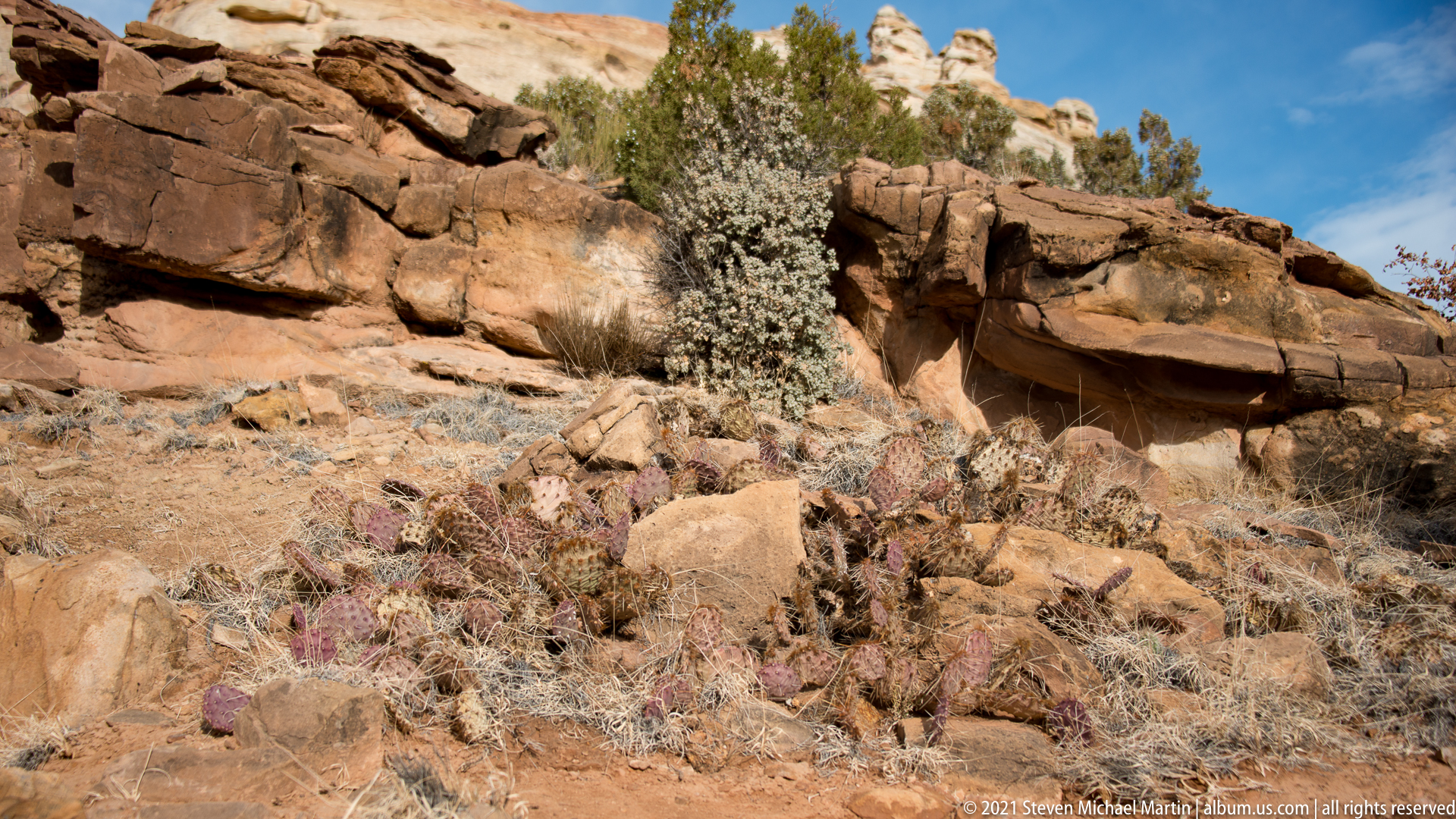
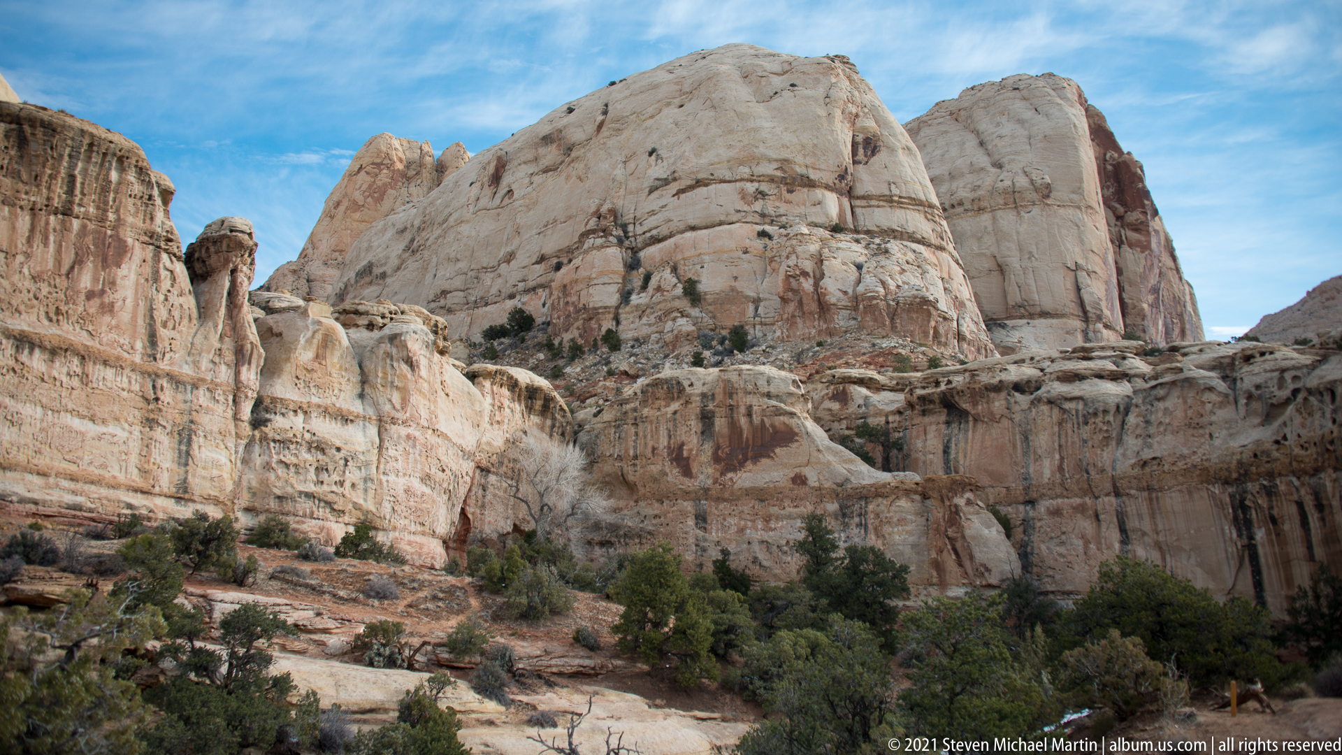
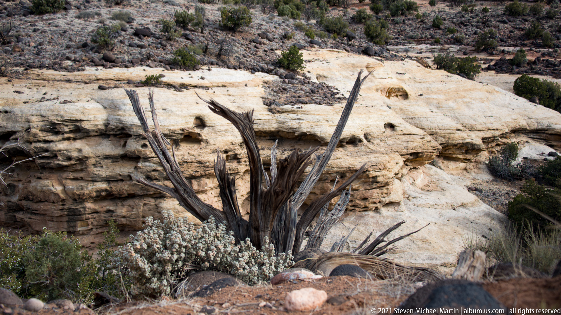
The surrounding landscape includes exposed sandstone cliffs, desert vegetation, and open views across portions of the Waterpocket Fold. Variations in mineral composition contribute to subtle changes in color and texture across the rock surface. The formation provides a clear visual example of how erosion shapes natural arches within the Colorado Plateau region.
Visitors experience a relatively accessible geological feature that illustrates the influence of time, gravity, and climate on rock formations. The arch’s scale and setting provide an opportunity to observe structural characteristics typical of sandstone environments throughout the American Southwest.











Capitol Reef National Park — Field Guide
National Park Field Guide
📍 Overview
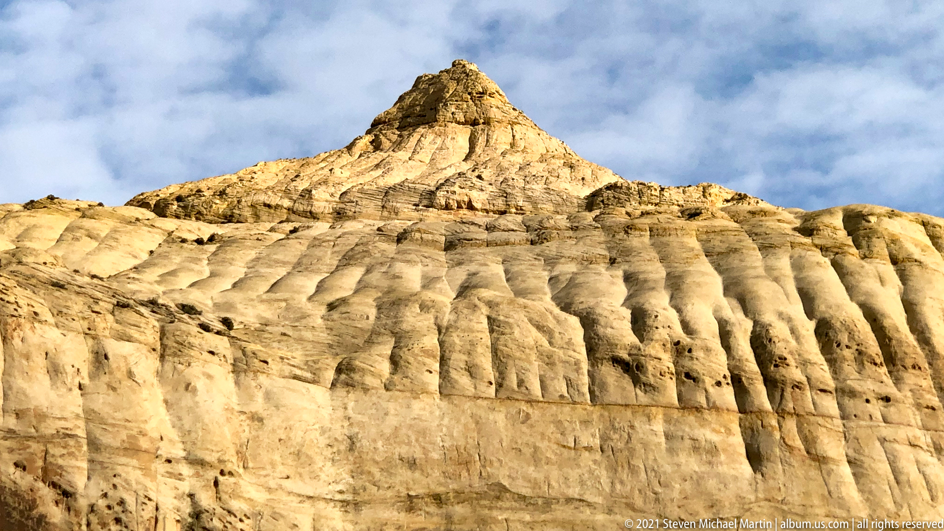
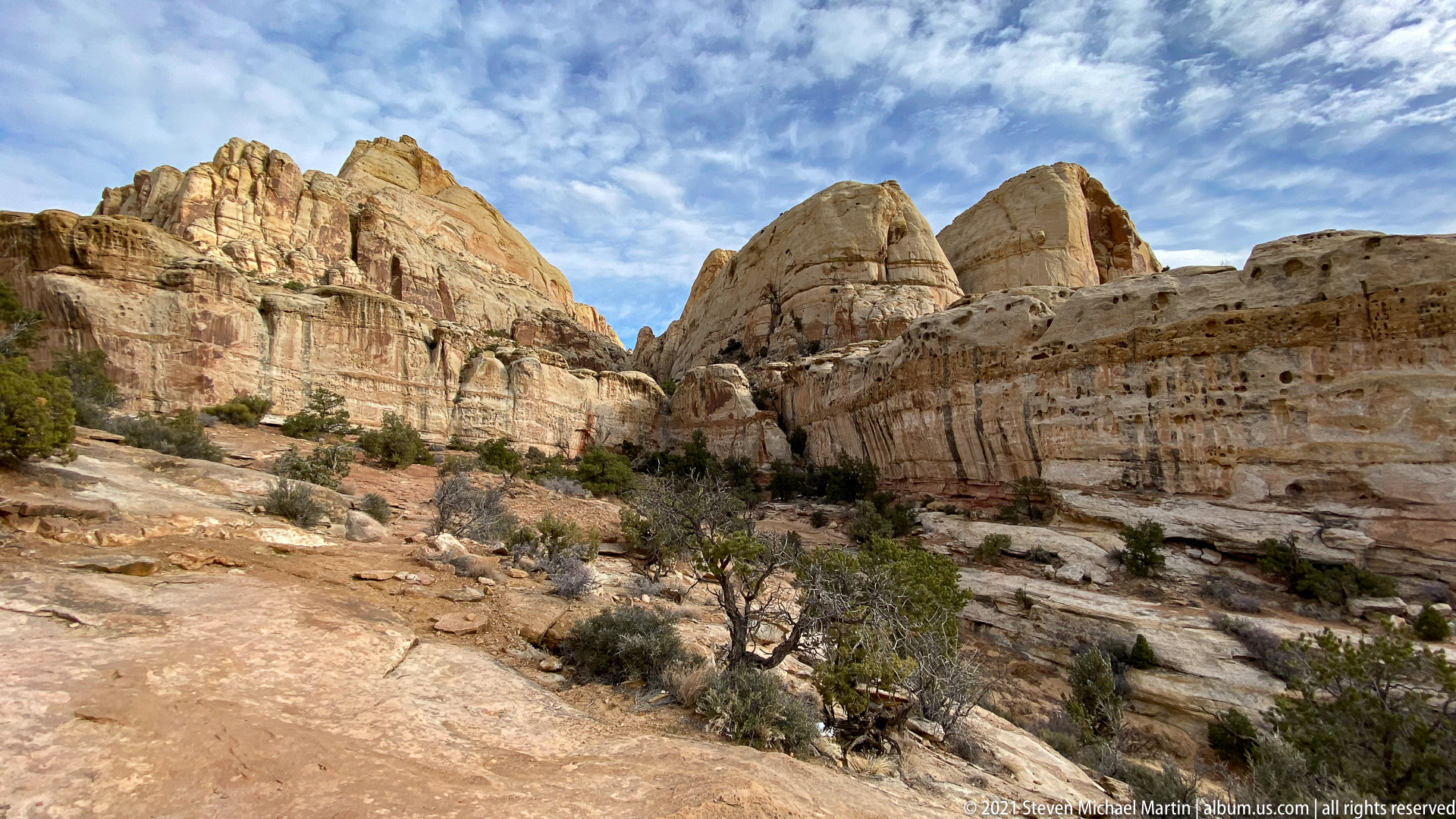
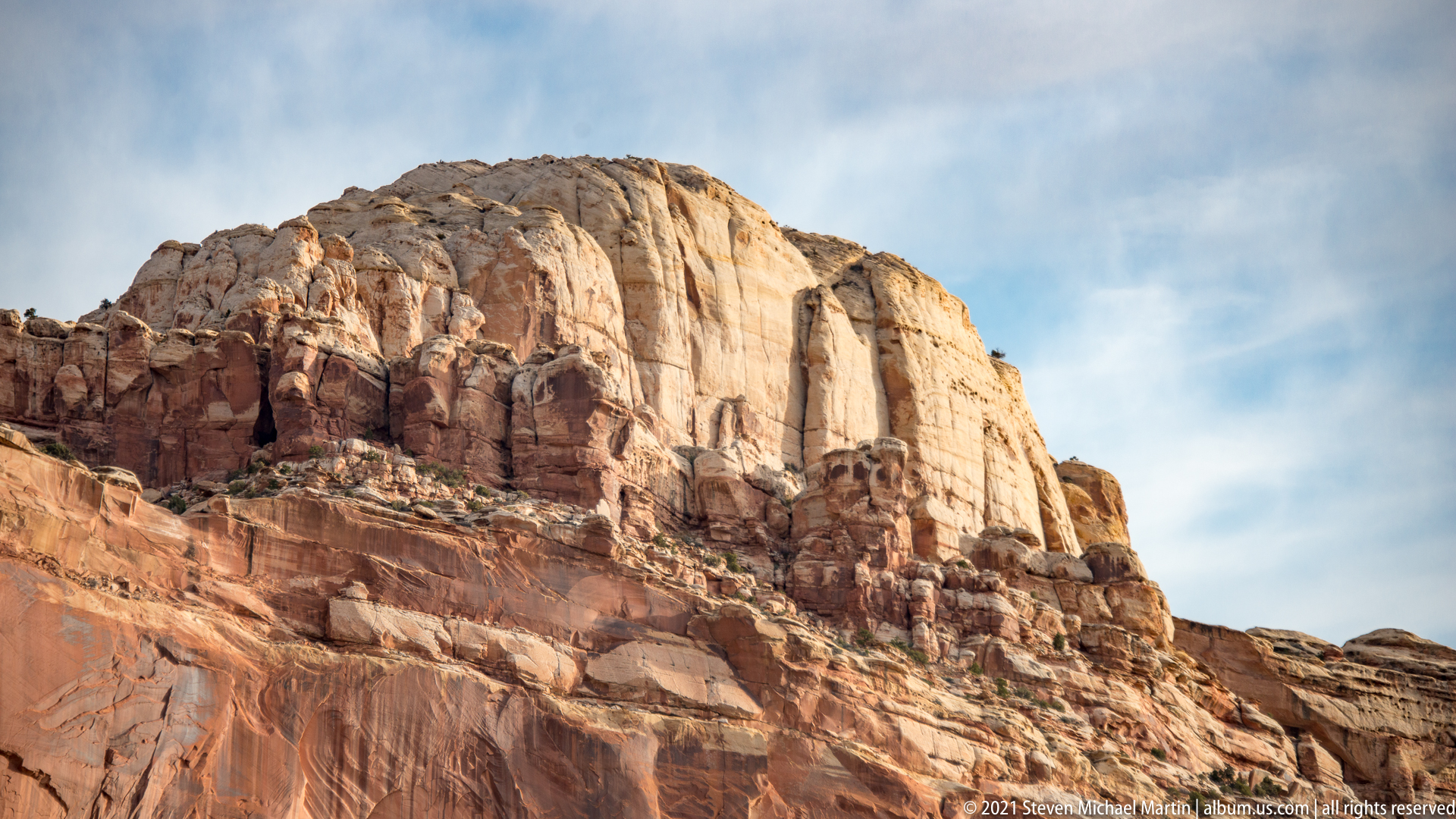
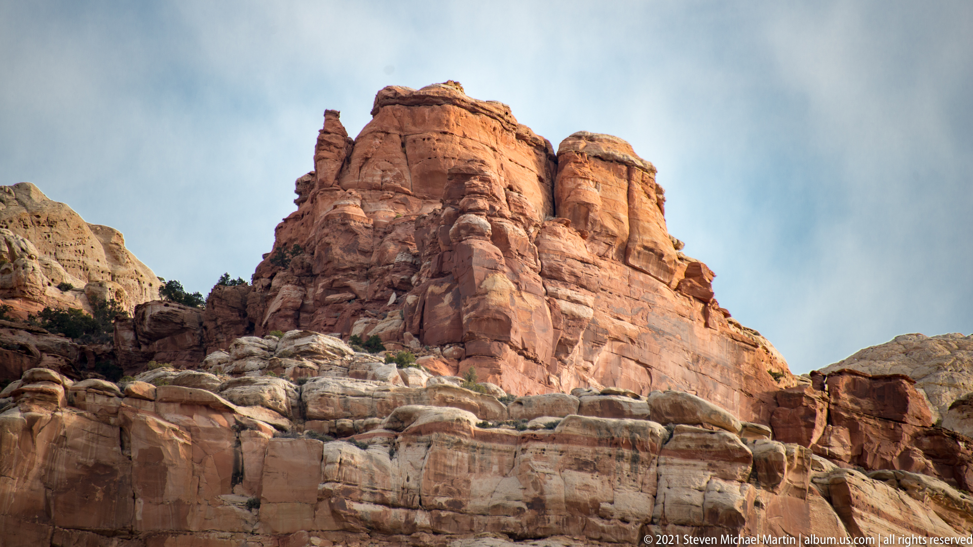
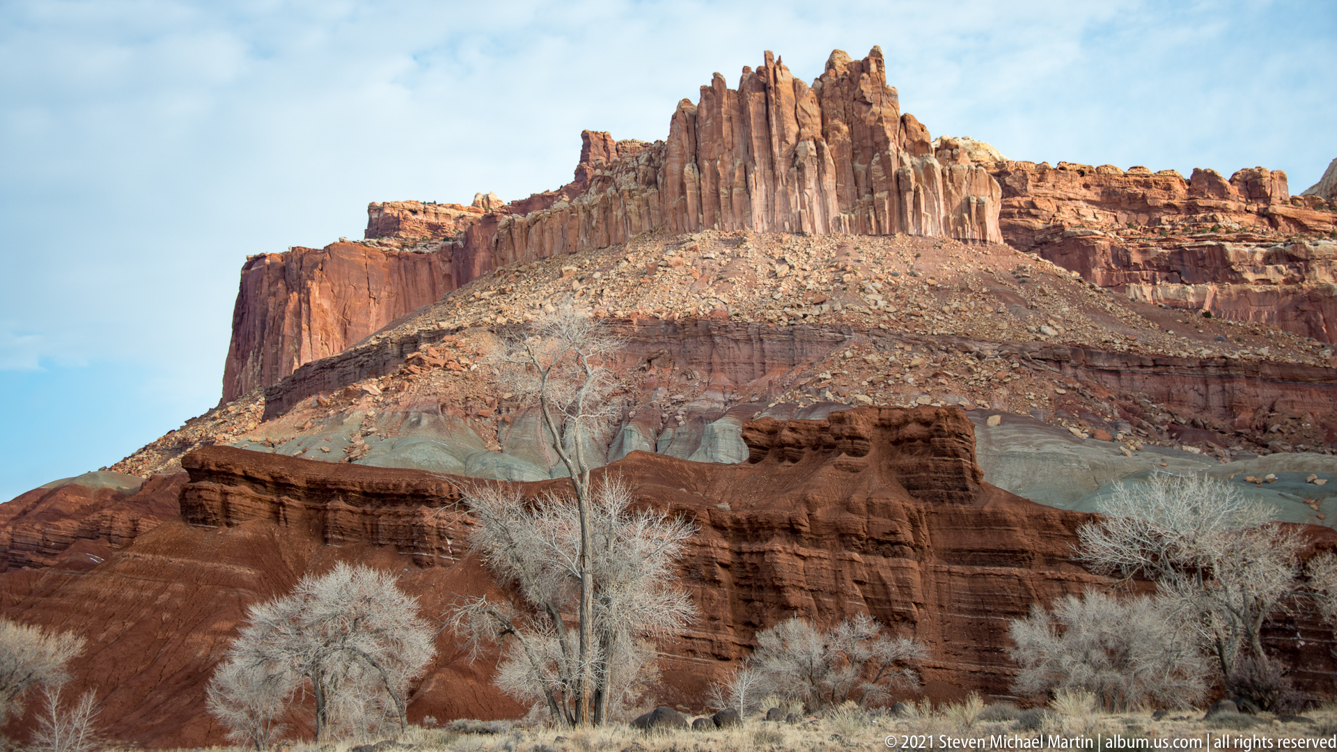
Capitol Reef National Park preserves a geologic formation known as the Waterpocket Fold, a monocline created by tectonic forces that uplifted sedimentary rock layers. The park contains cliffs, domes, and canyon systems shaped by erosion acting upon uplifted strata. The resulting landscape illustrates the interaction between geological uplift and long-term weathering processes.
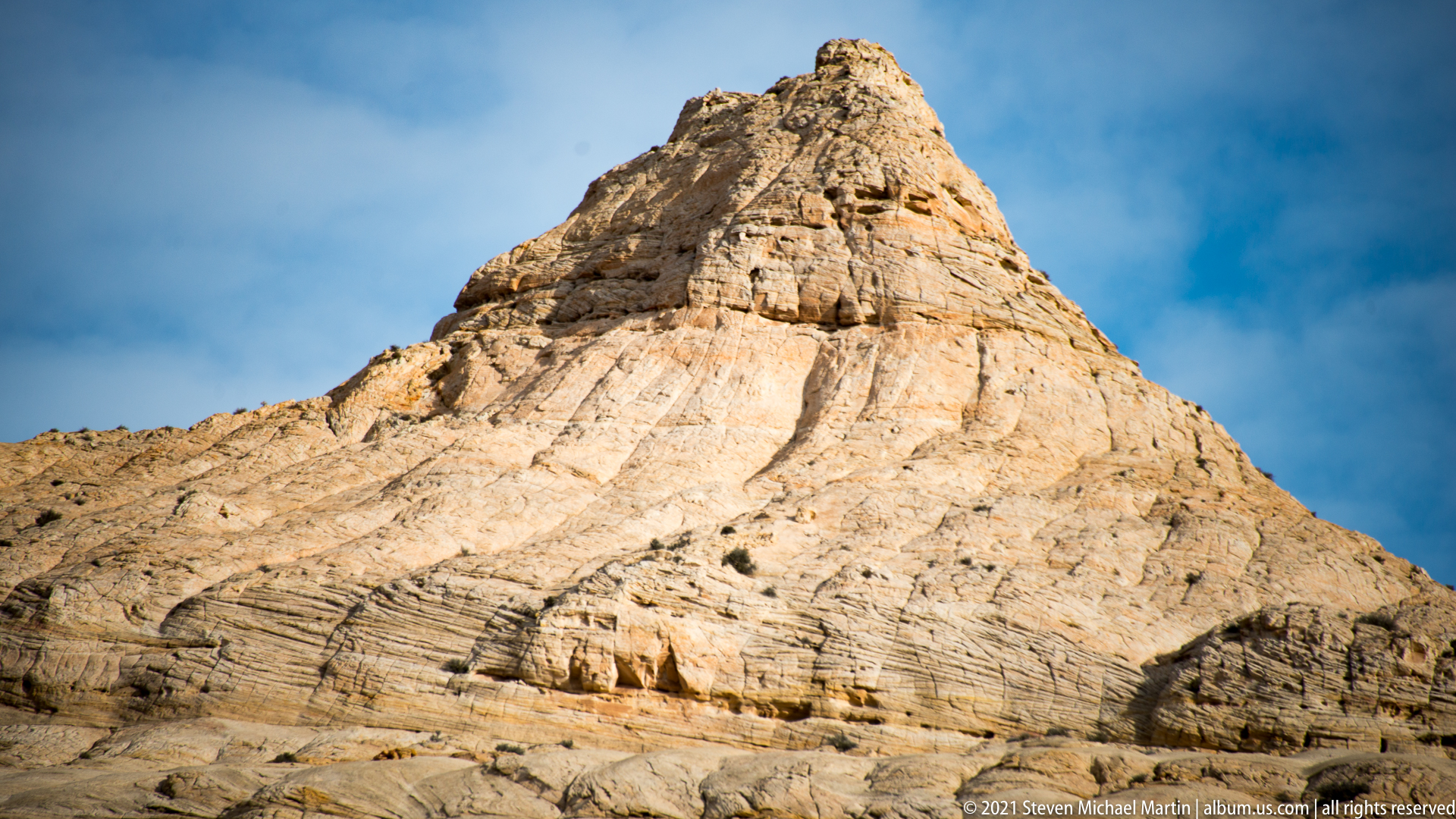
Layered sandstone formations reflect changes in environmental conditions across prehistoric eras. Differential erosion of rock layers produces cliffs, domes, and narrow canyon corridors. The Waterpocket Fold extends for nearly one hundred miles, creating a continuous geologic feature across the Colorado Plateau.
⭐ Highlights
- Waterpocket Fold monocline formation
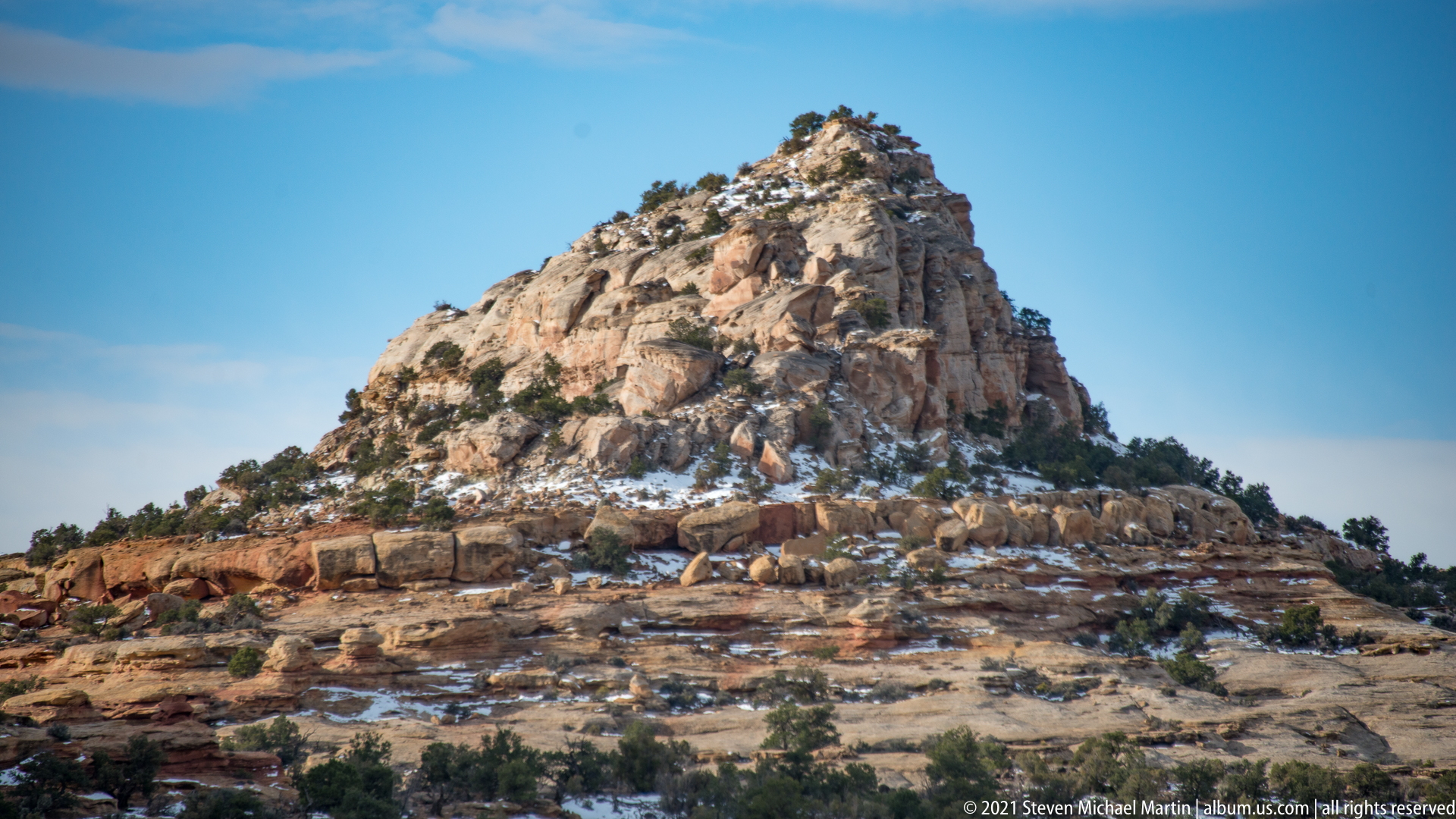
- Sandstone domes and cliffs shaped by erosion
- Cathedral Valley monolith formations
- Layered sedimentary rock exposures
- Expansive desert plateau landscapes
🔎 Key Features
- Tectonic uplift shaping folded rock layers
- Erosion creating canyon and dome formations
- Exposed sedimentary strata illustrating geologic time
- Remote desert valley environments
- Large-scale landscape shaped by natural forces
📷 Photography Notes
- Early and late light enhances texture in sandstone
- Wide compositions capture scale of formations
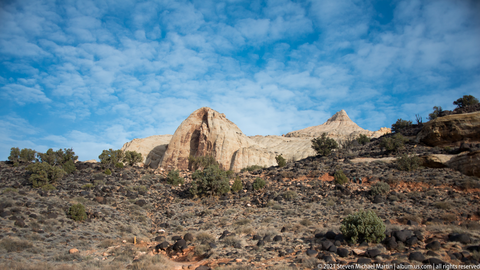
- Cloud patterns add depth to desert skies
- Foreground rocks provide visual framing
- Side lighting emphasizes layered geology
- Look for angles that show contrast between formations