Fall Shenandoah Valley
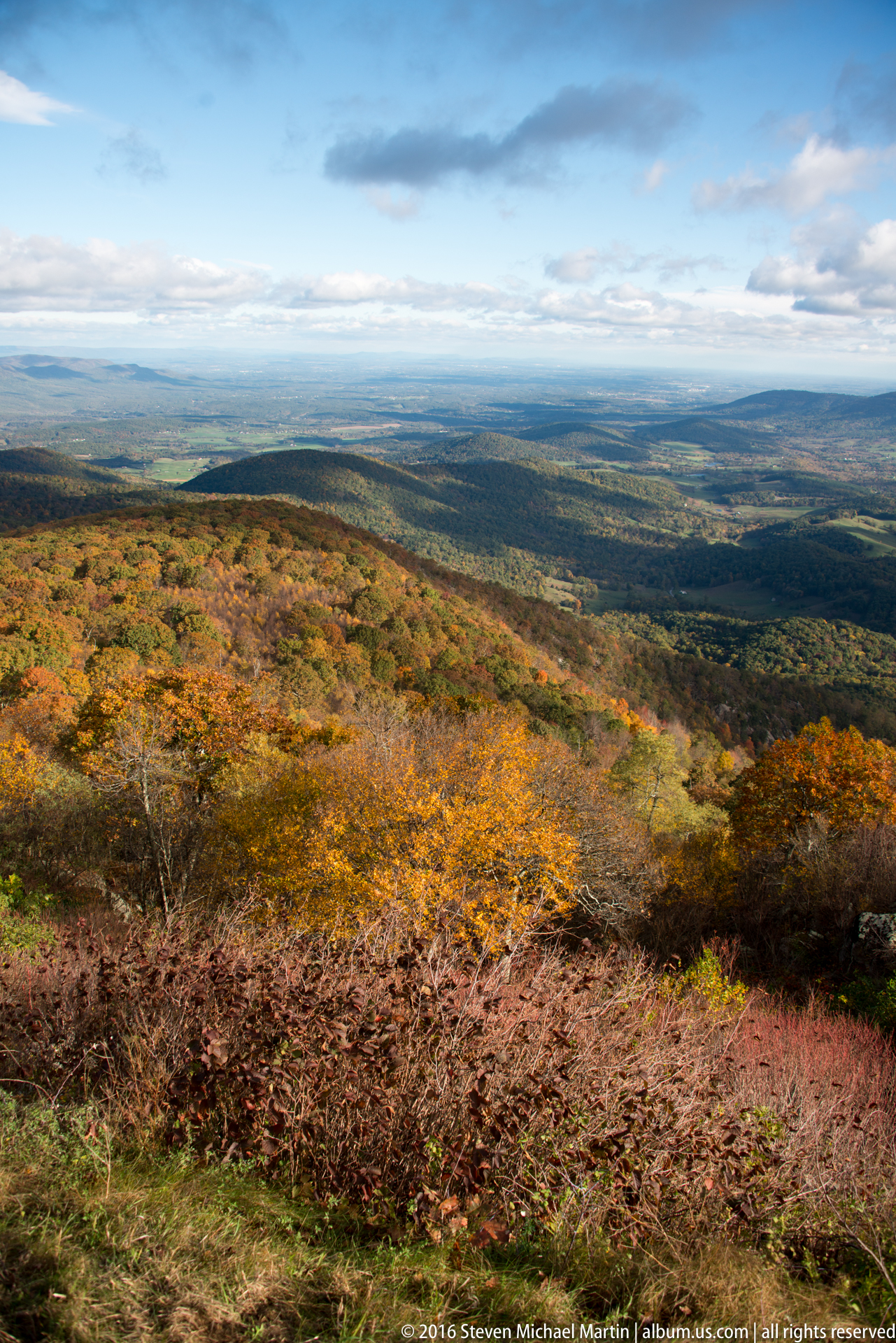
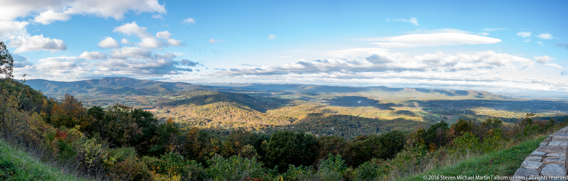
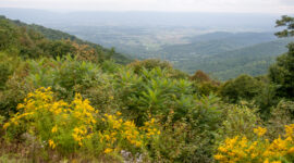
The Shenandoah Valley forms a long agricultural corridor between the Blue Ridge Mountains and the Allegheny highlands, where fertile soils and moderate climate supported settlement beginning in the eighteenth century. The valley’s broad fields, limestone geology, and river systems created an environment well suited to farming, contributing to its role as one of the most productive agricultural regions in the mid-Atlantic. Seasonal change is especially visible in autumn, when forests covering the surrounding ridges shift to a range of red, gold, and orange tones.
Fall color emphasizes the layered structure of the Appalachian landscape, revealing the relationship between forested slopes, open farmland, and small towns distributed along historic transportation routes. The valley historically served as both a migration corridor and a strategic route during the Civil War due to its orientation between north and south. Seasonal transformation of vegetation highlights the environmental diversity that has shaped both agricultural use and patterns of settlement across the region.
The Shenandoah Valley contributes to understanding how geography influenced rural development in the Appalachian interior. Autumn landscapes illustrate the ecological rhythms of deciduous forest environments that dominate much of the eastern United States. The seasonal transition reinforces the connection between land use, climate, and regional identity across Virginia’s mountain and valley systems.