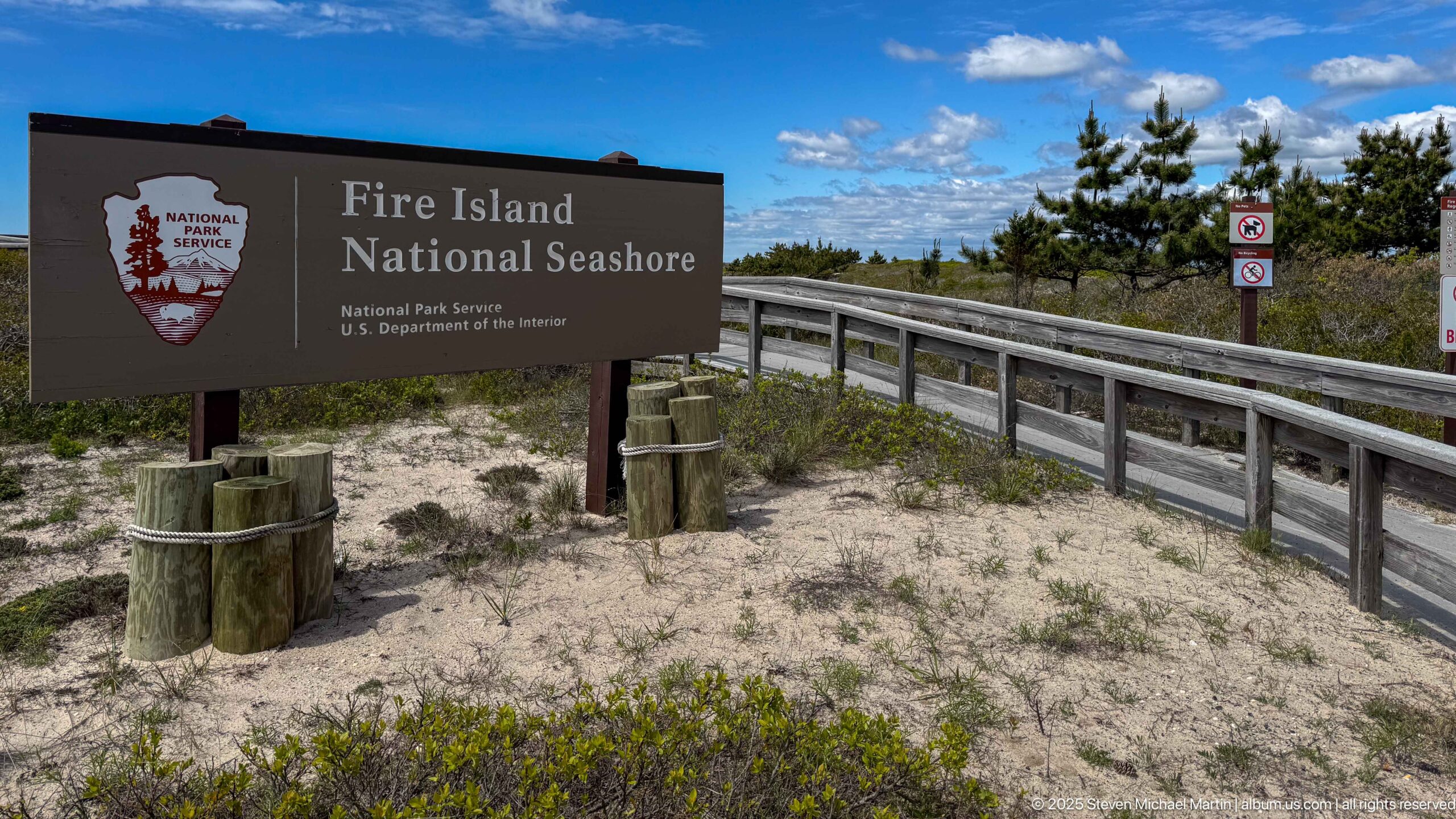
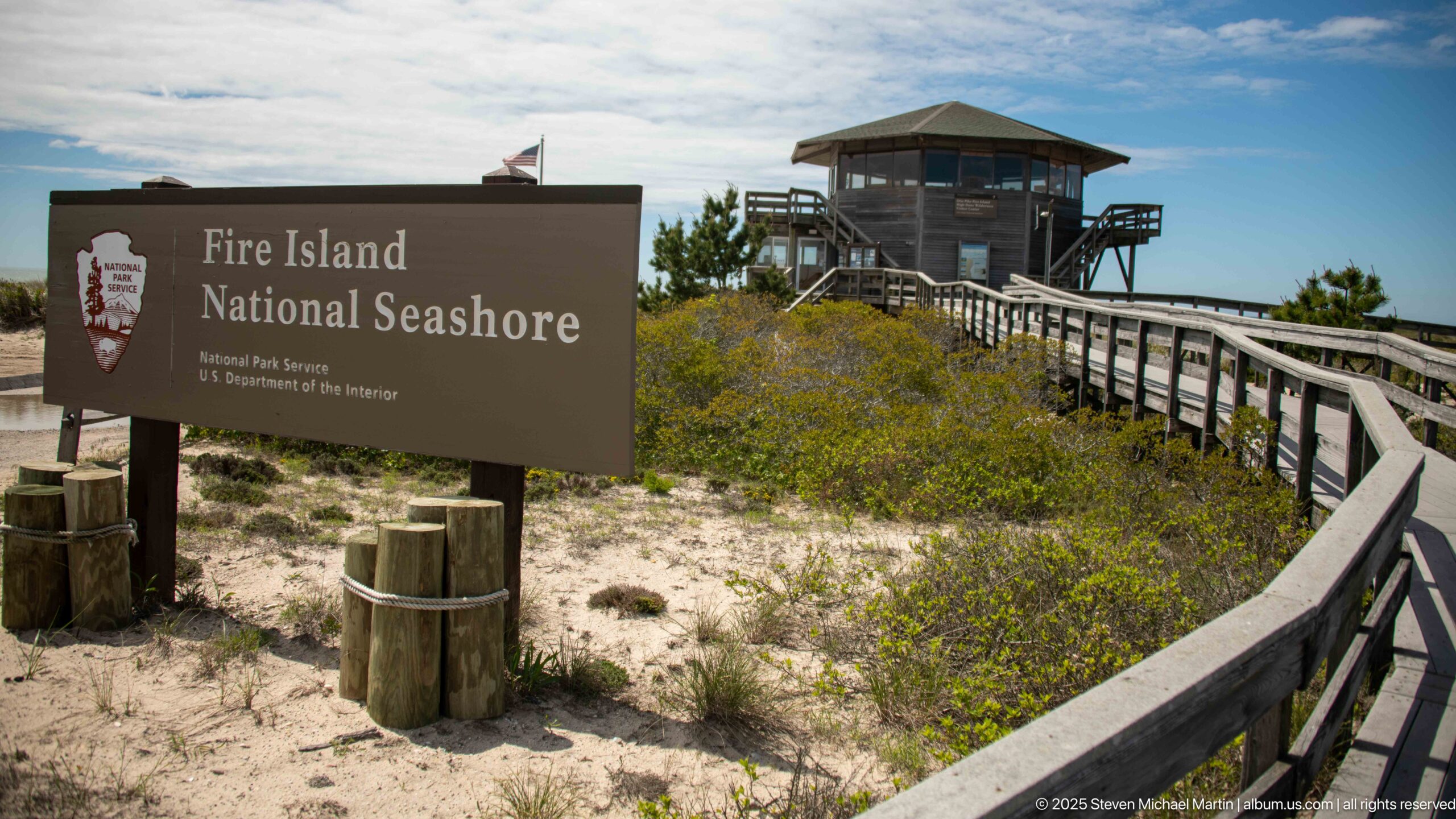
Fire Island National Seashore
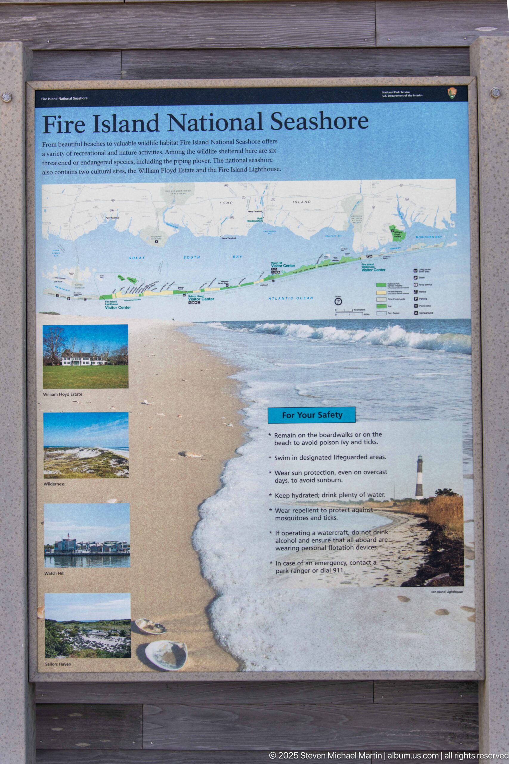
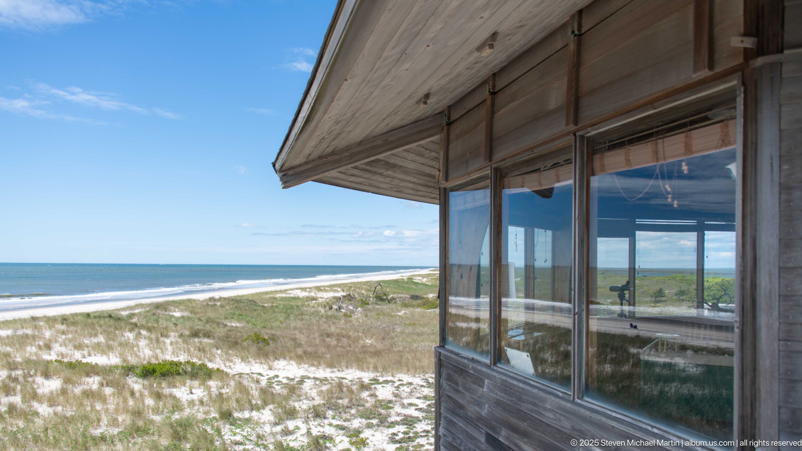
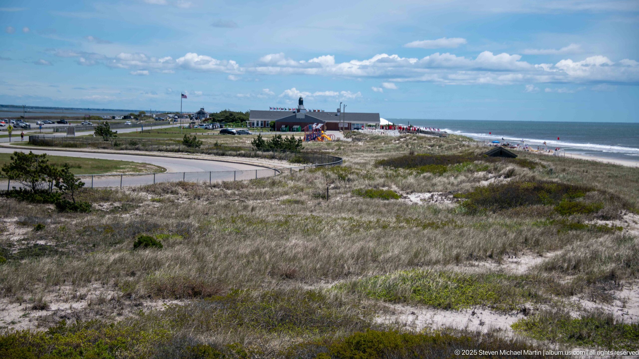
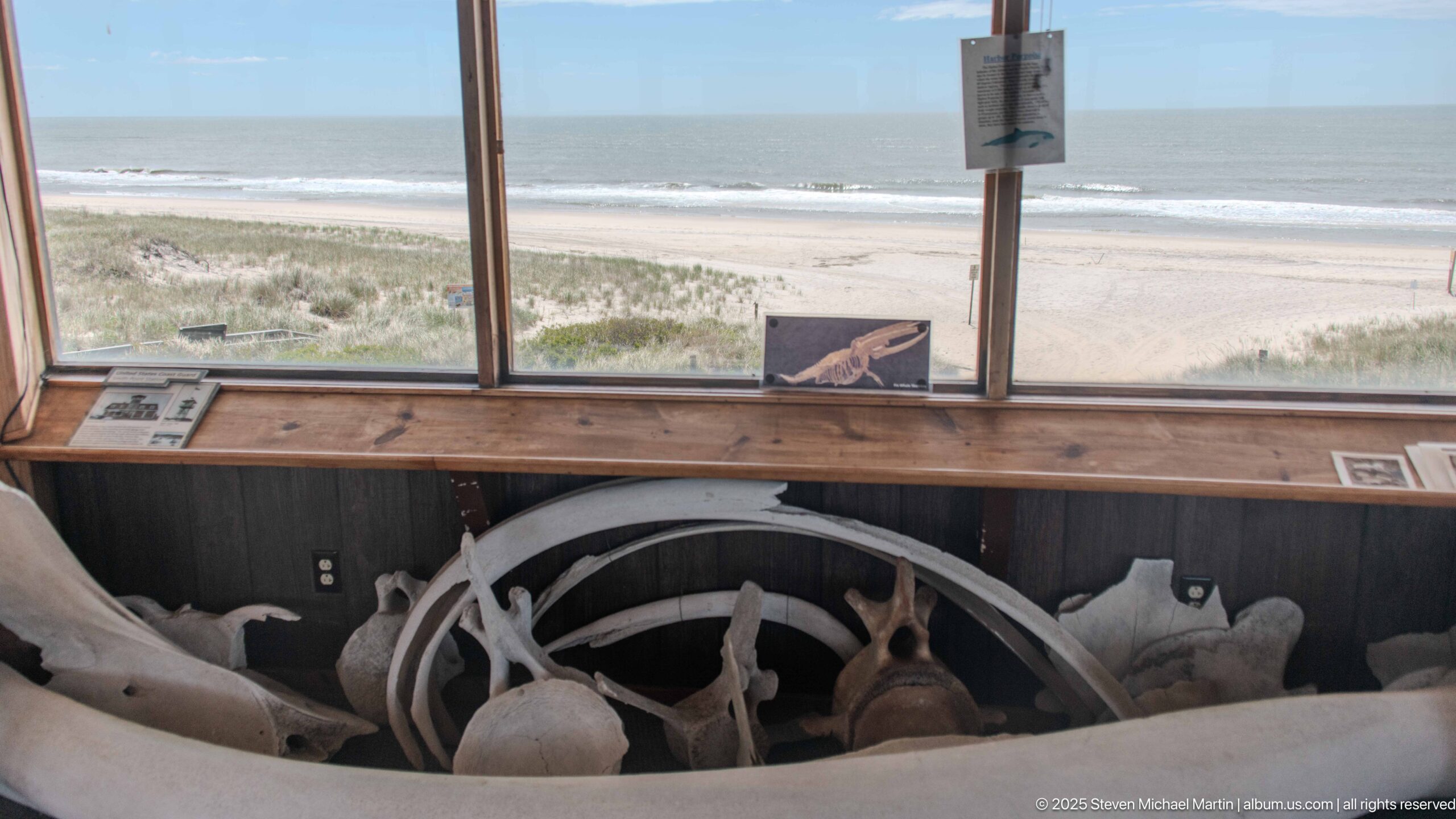
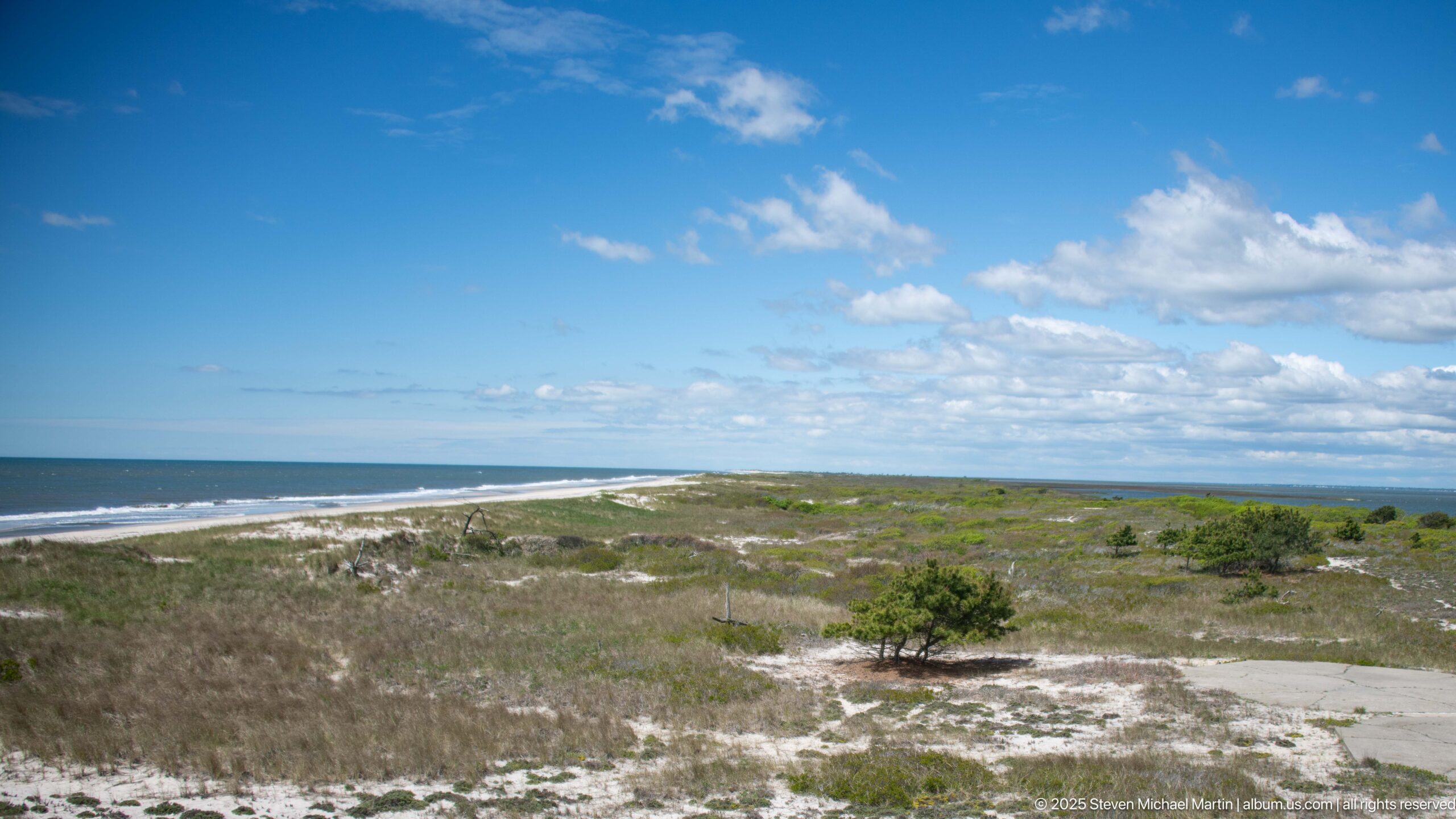
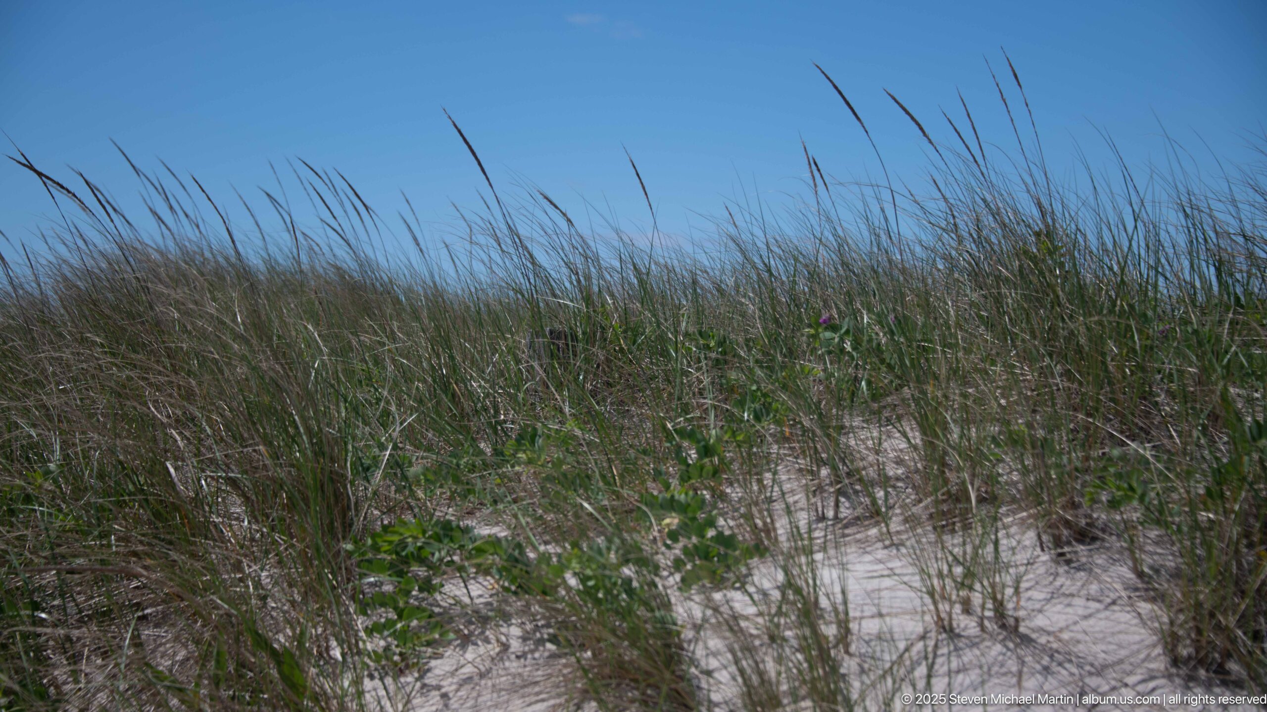
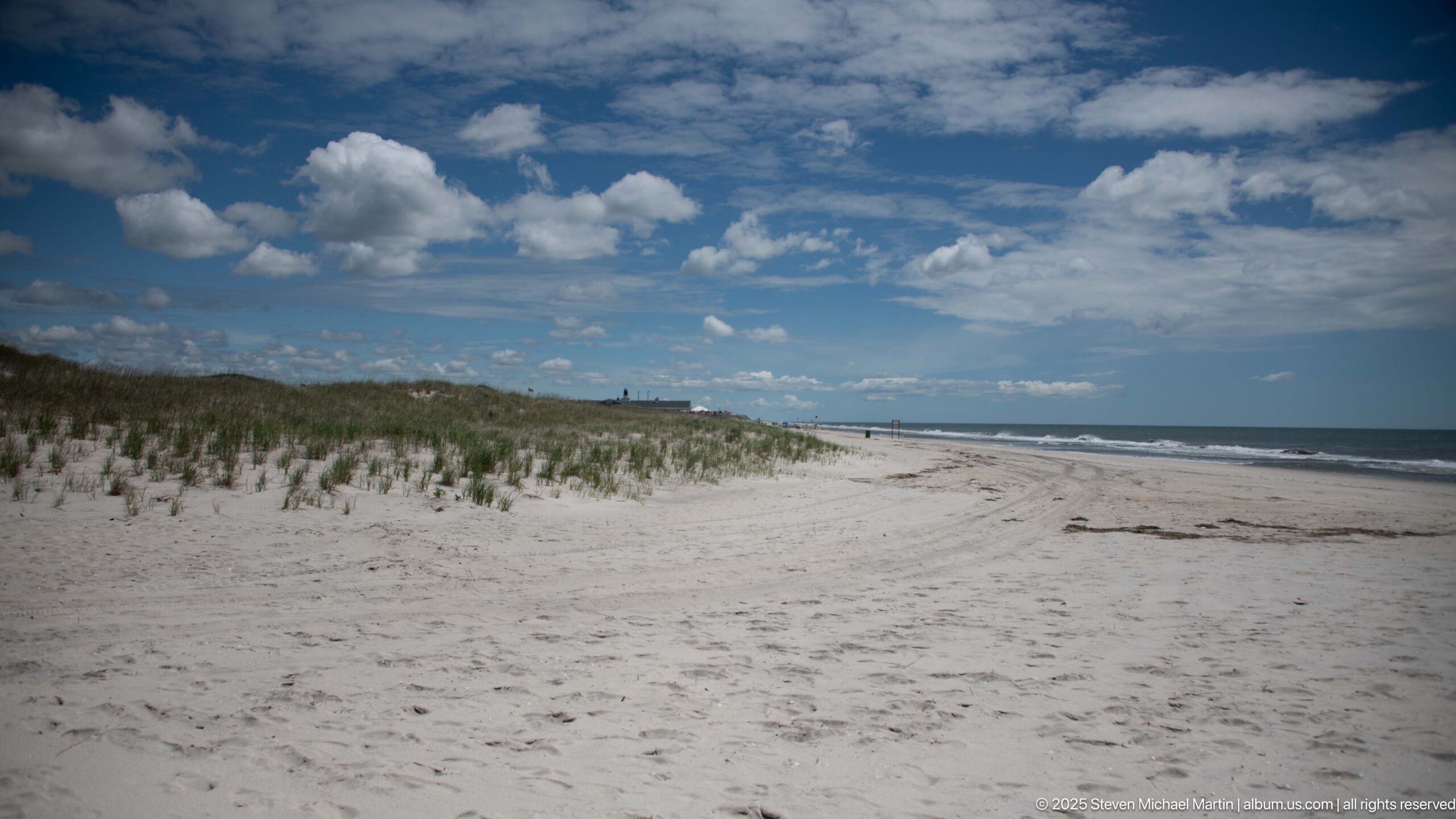
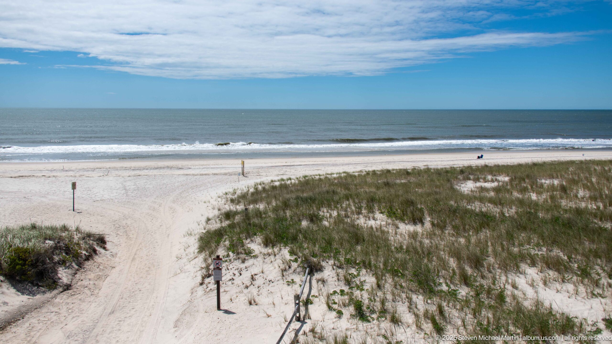
Fire Island National Seashore protects approximately 26 miles of barrier island landscape along the southern coast of Long Island, preserving dunes, maritime forests, wetlands, and shoreline environments shaped by ocean currents and tidal processes. Established in 1964, the seashore reflects federal efforts to conserve fragile coastal ecosystems while allowing continued access to recreational landscapes near major metropolitan regions. The island’s narrow width, often less than one mile across, illustrates the dynamic geological processes that continue to reshape Atlantic barrier coastlines.
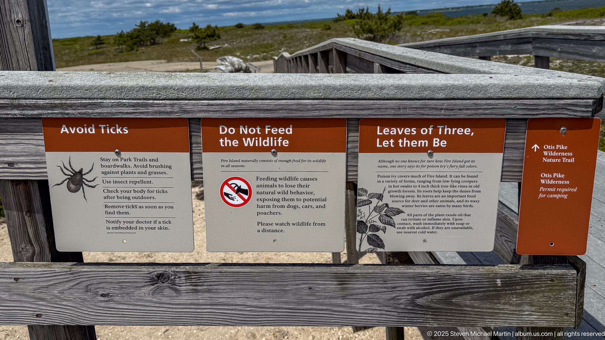
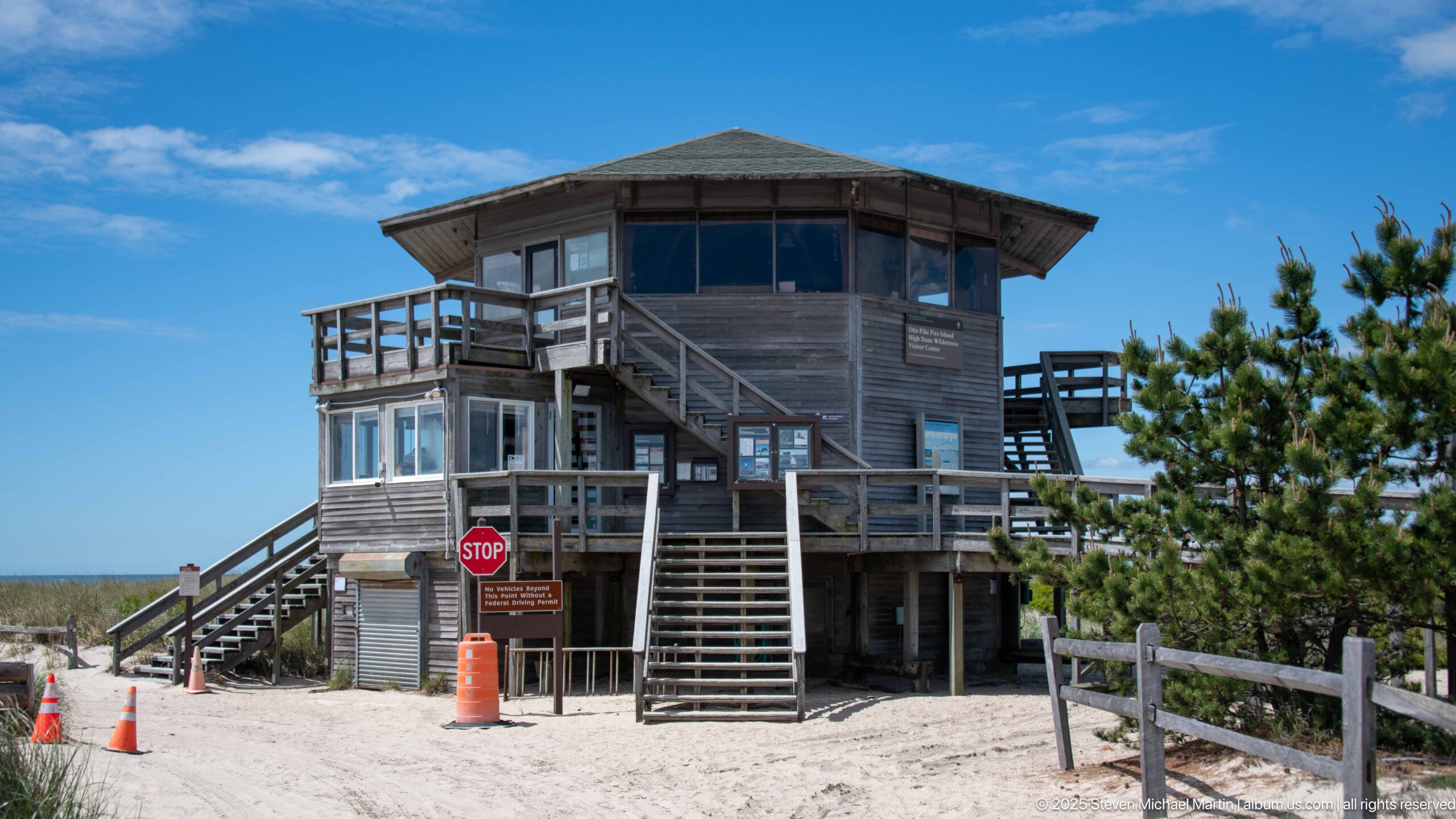
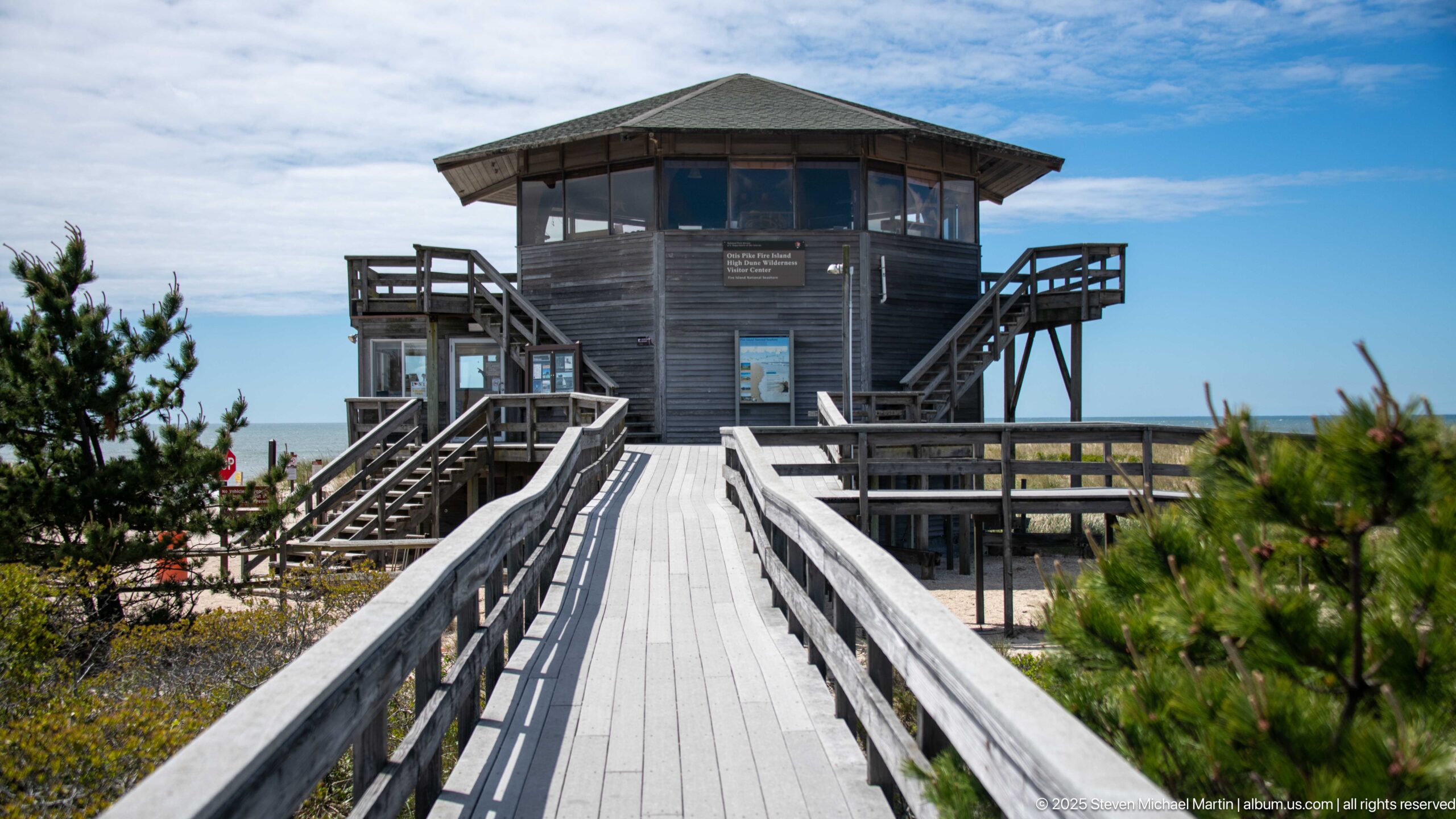
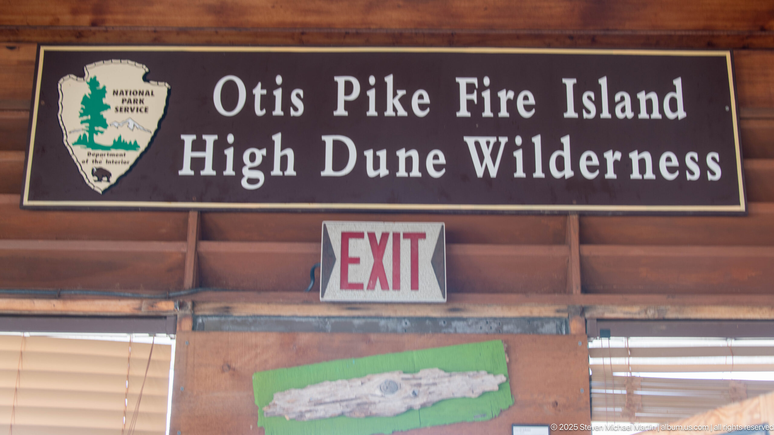
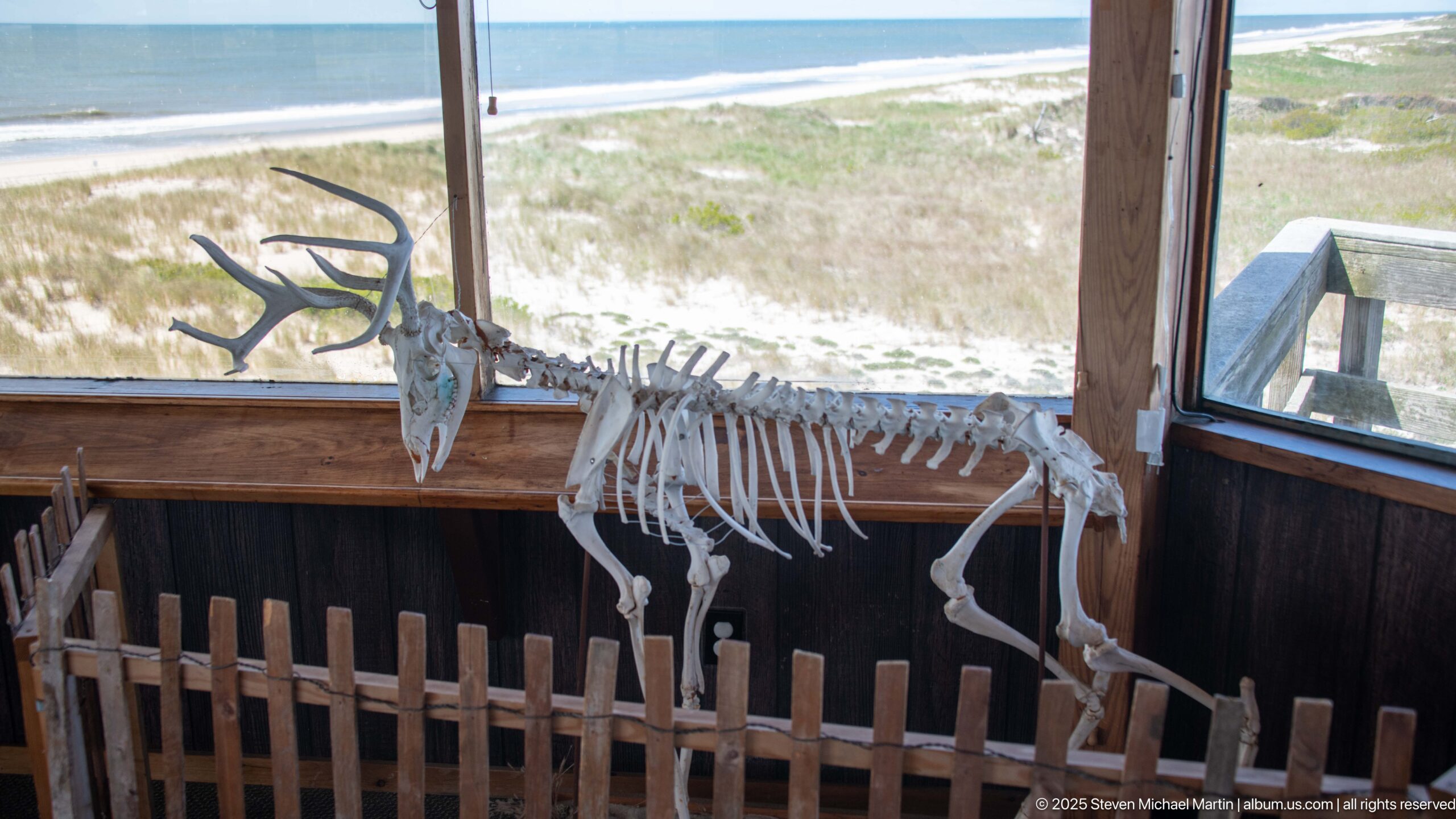
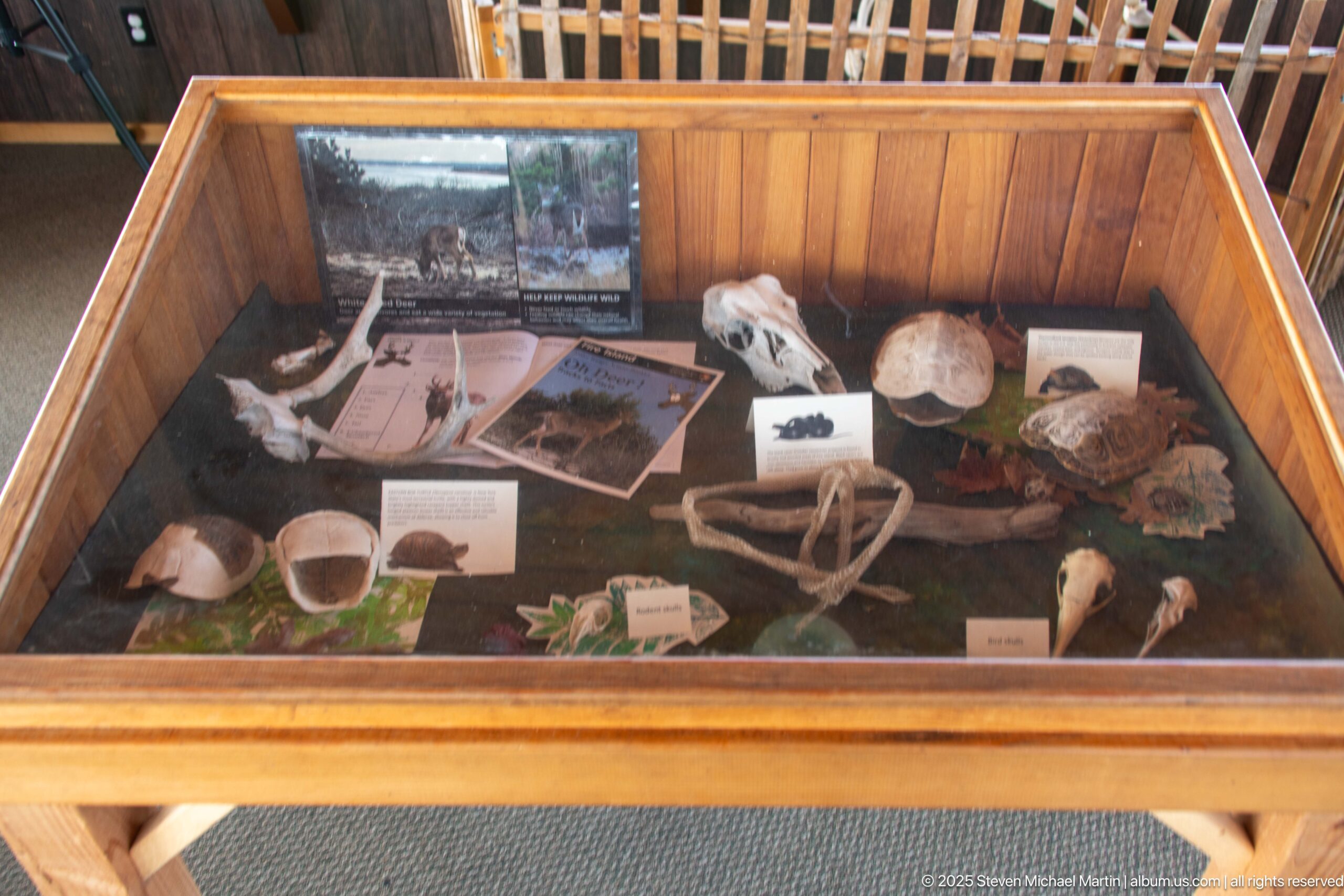
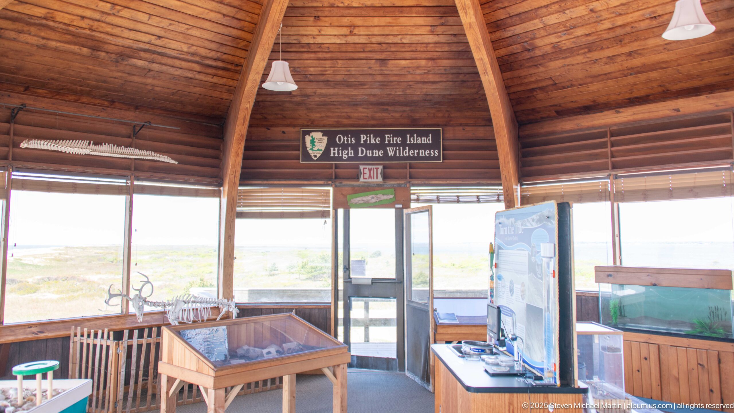
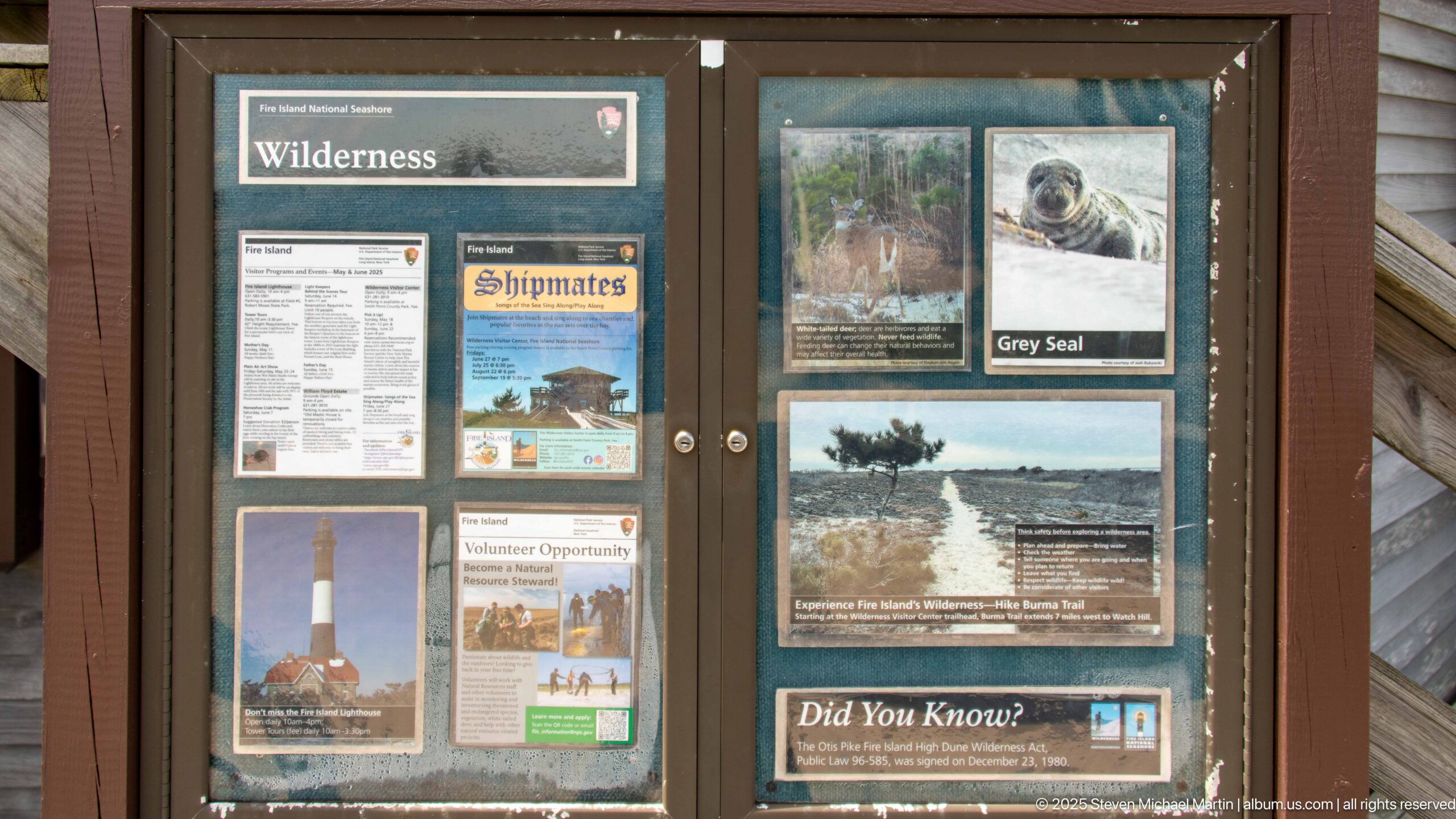
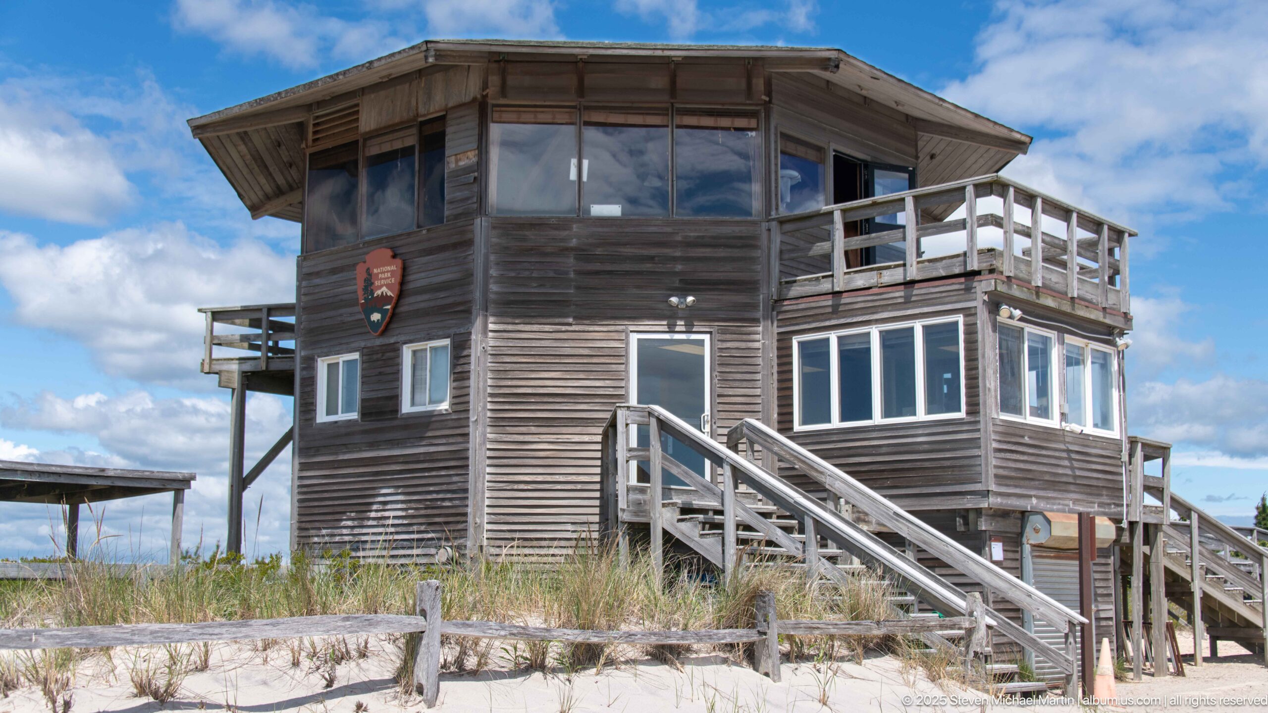
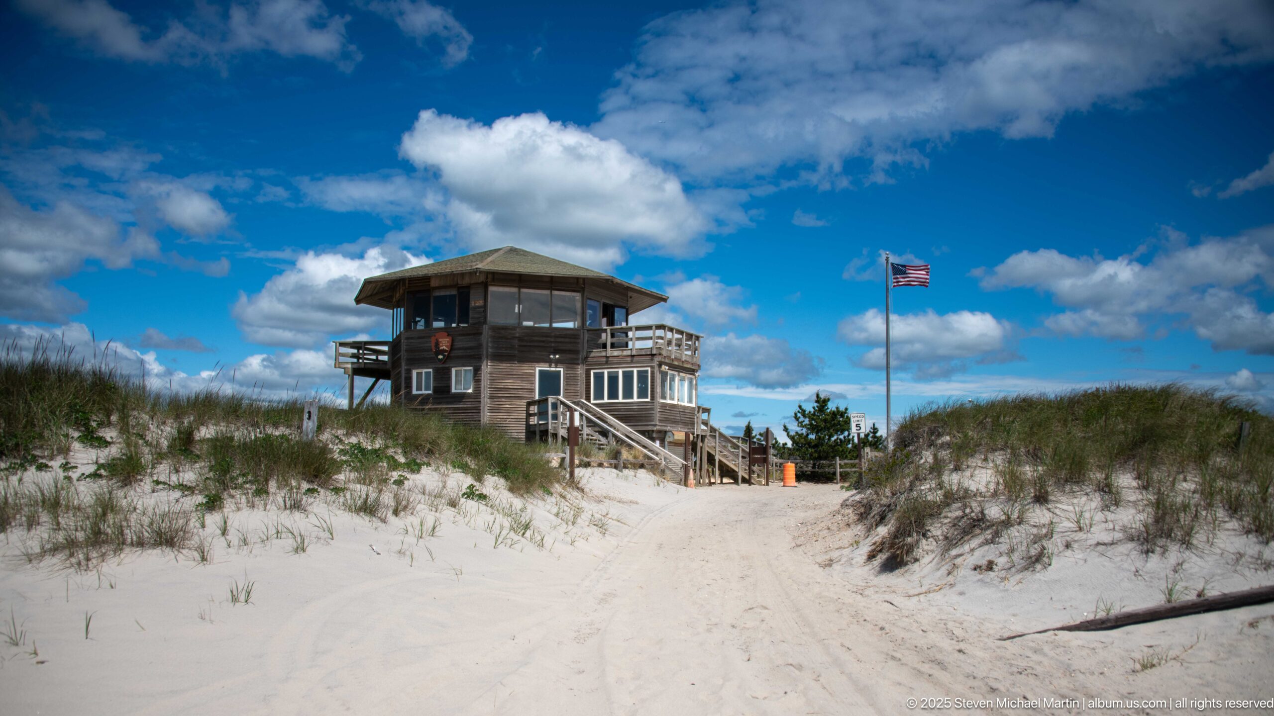
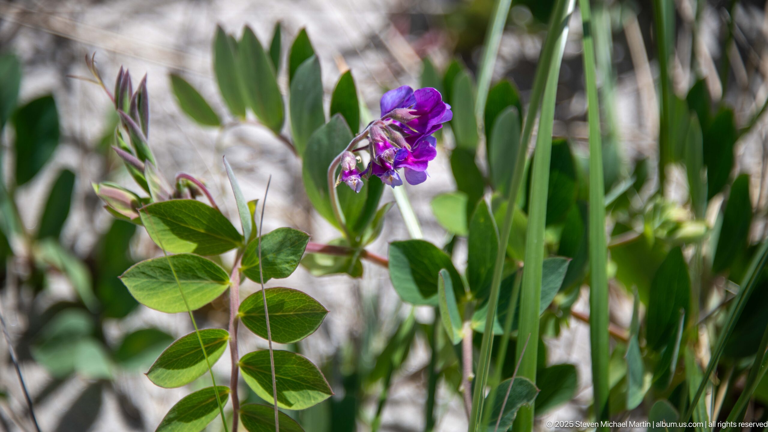
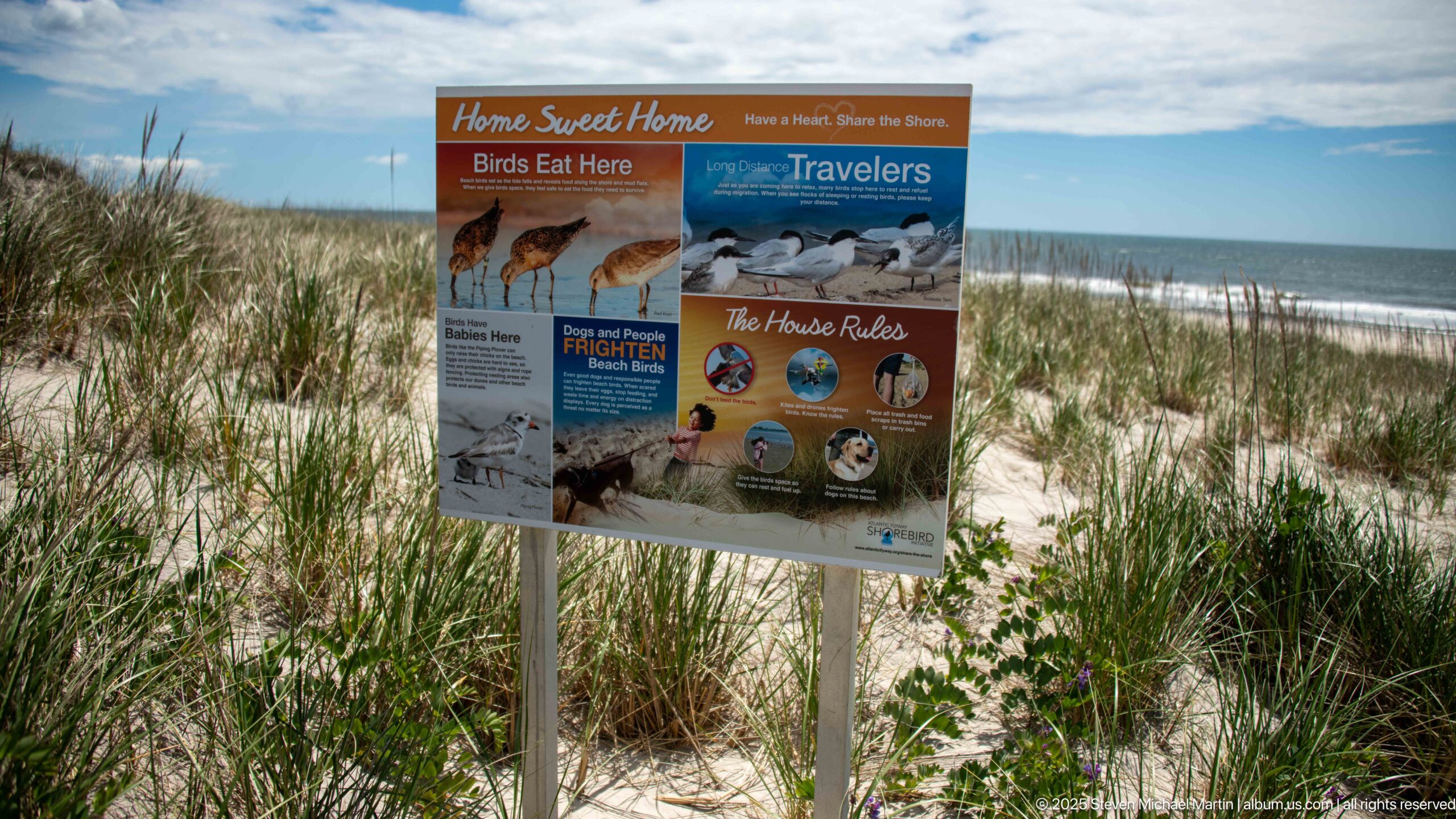
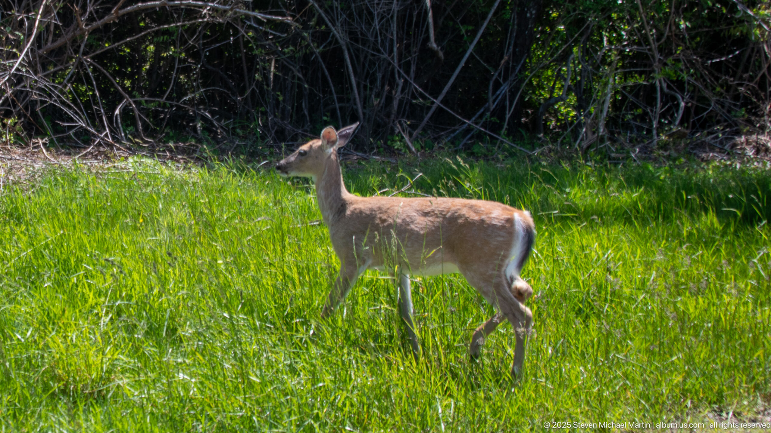
The seashore includes diverse habitats ranging from high dunes and salt marshes to the federally designated Otis Pike Wilderness Area, the only wilderness area in New York State. Boardwalks, ferries, and small settlements illustrate the relationship between environmental preservation and limited development designed to minimize impact on sensitive coastal ecosystems. The Fire Island Lighthouse remains an important navigational landmark along this stretch of coastline.
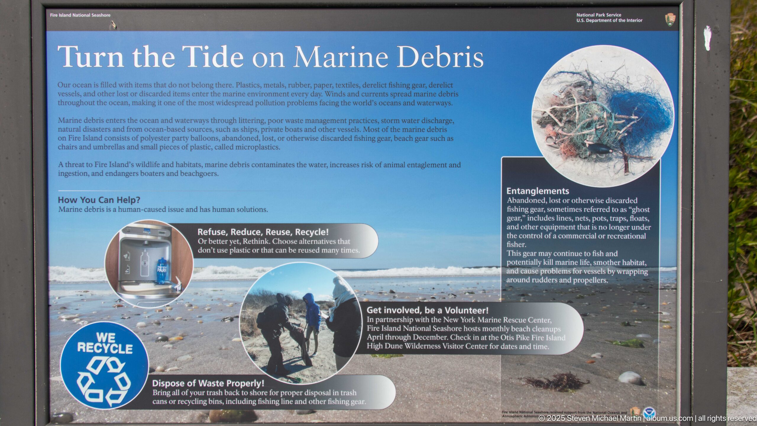
Fire Island National Seashore contributes to understanding how barrier island systems respond to changing environmental conditions including storms, erosion, and sea-level variation. The preserved landscape illustrates the importance of conservation in protecting coastal ecosystems near major population centers. Fire Island provides insight into the long-term interaction between ocean processes and human settlement along the Atlantic seaboard.