Flight over Glaciers

Flightseeing over Glaciers

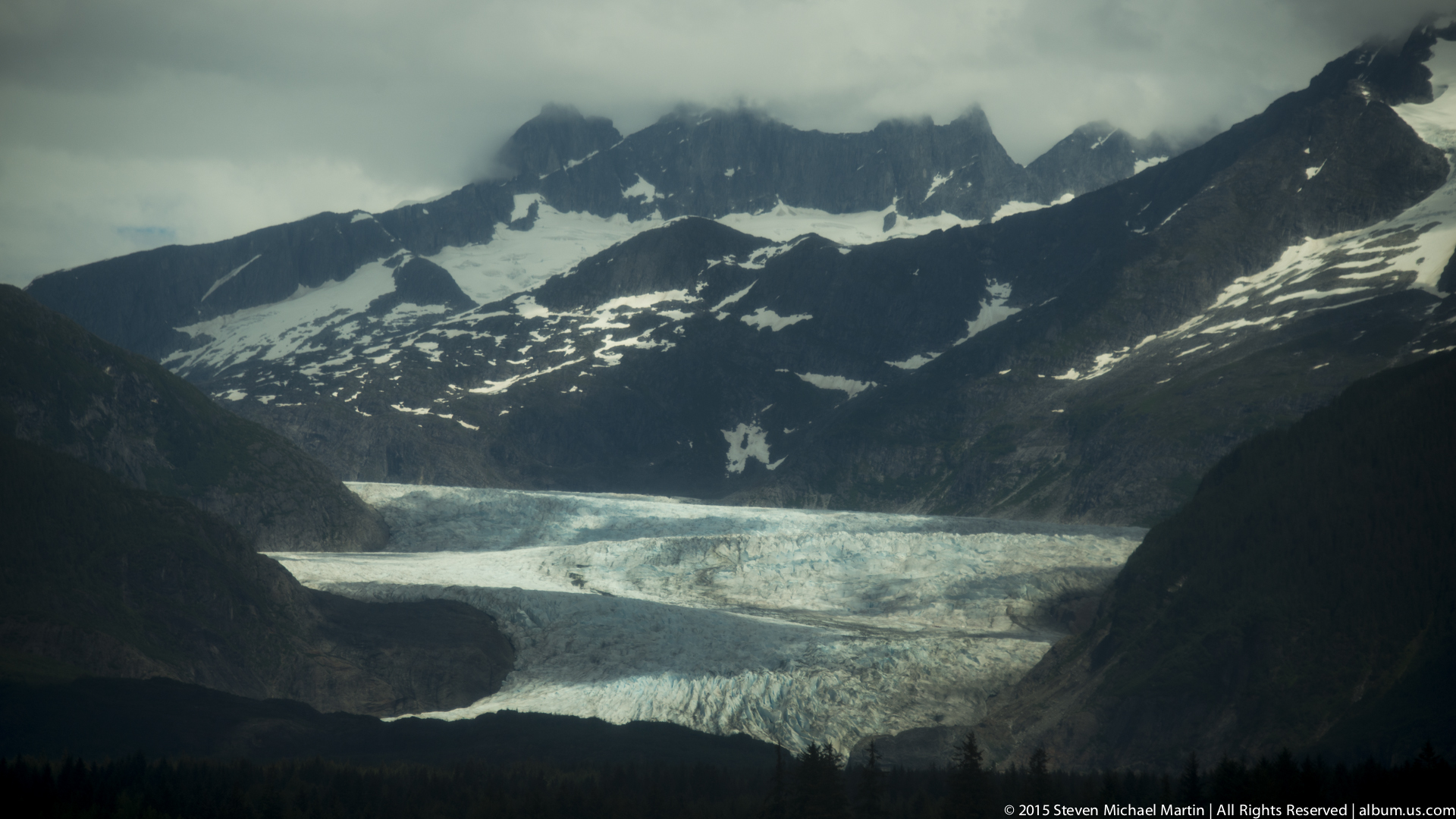
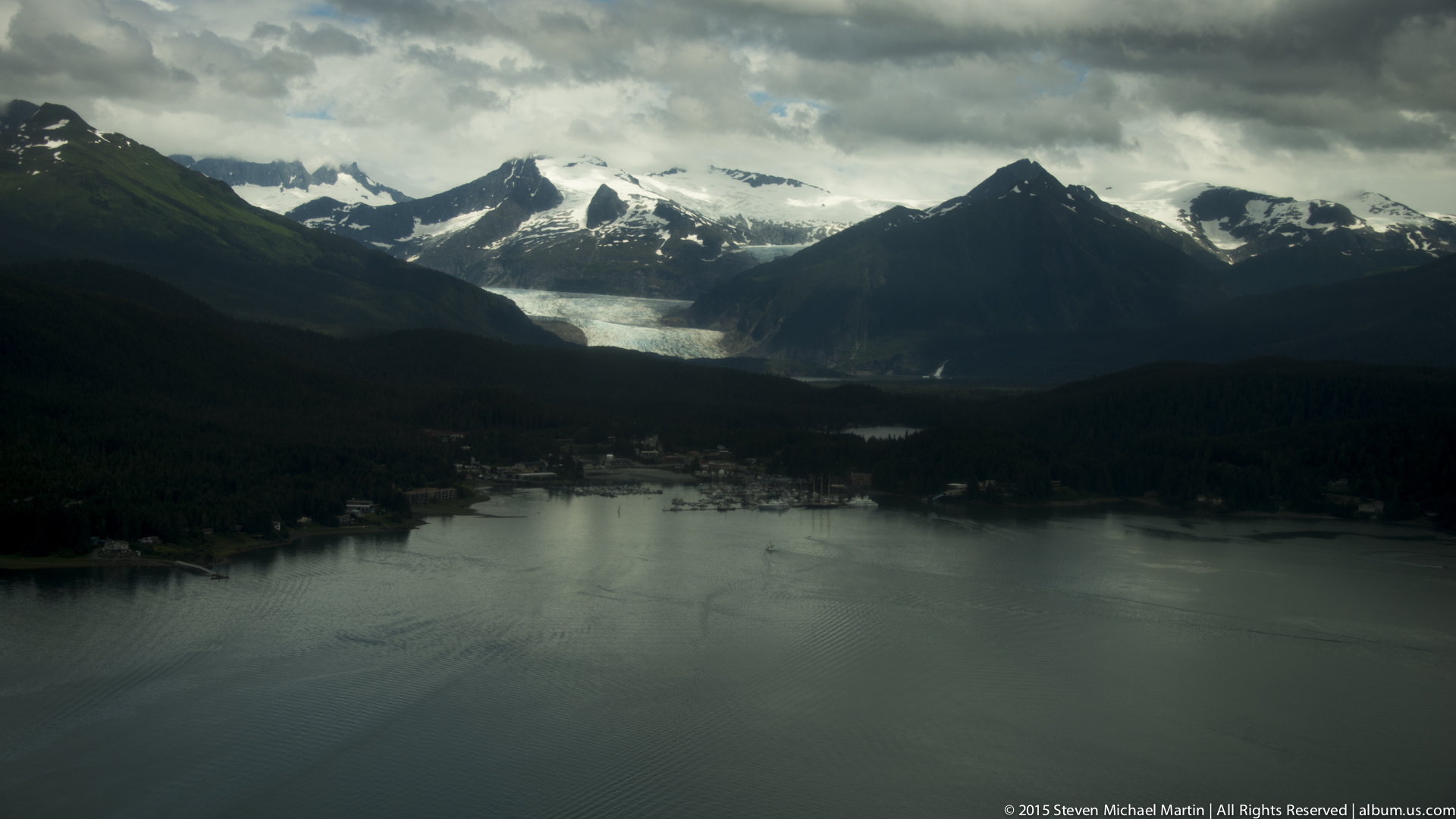
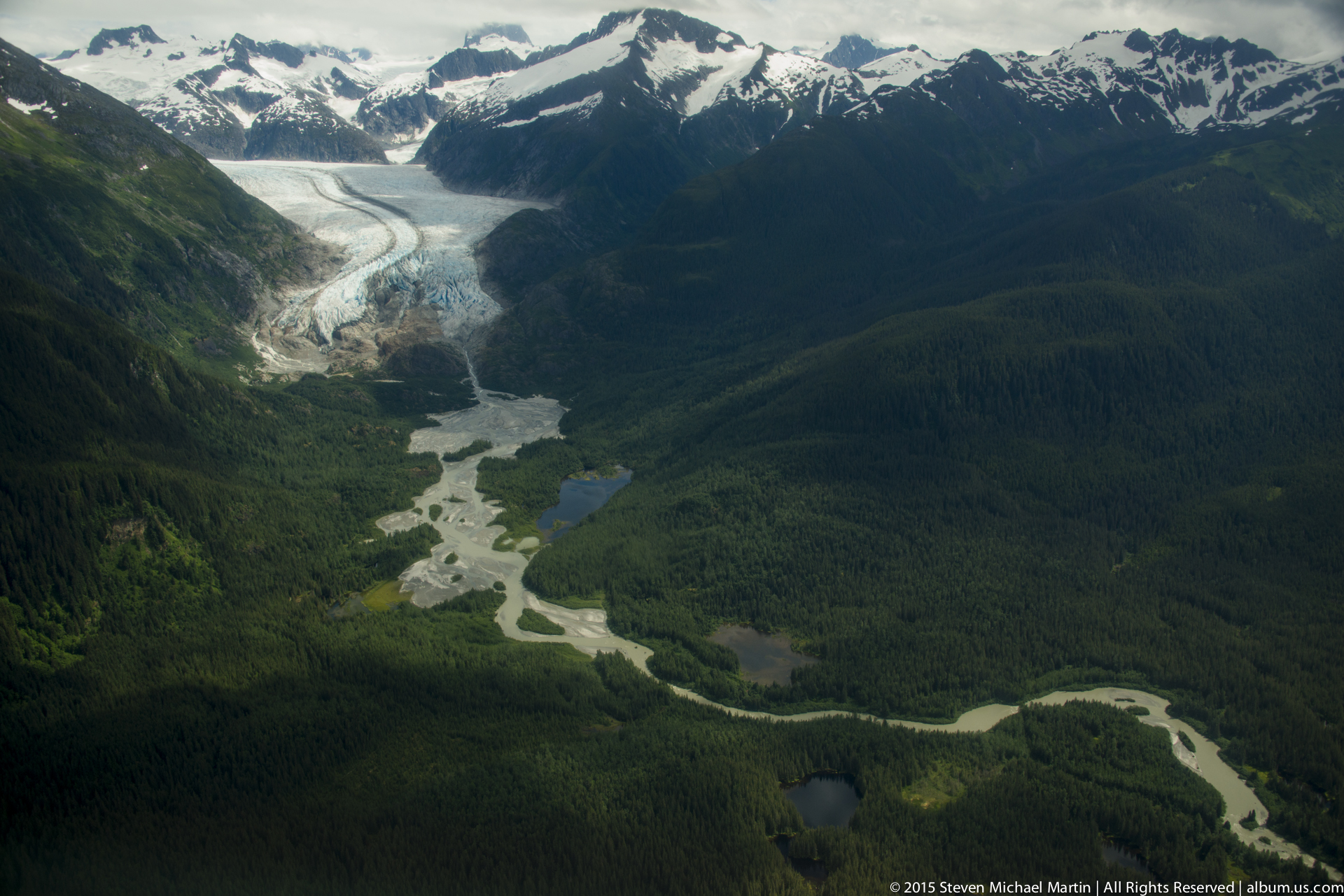
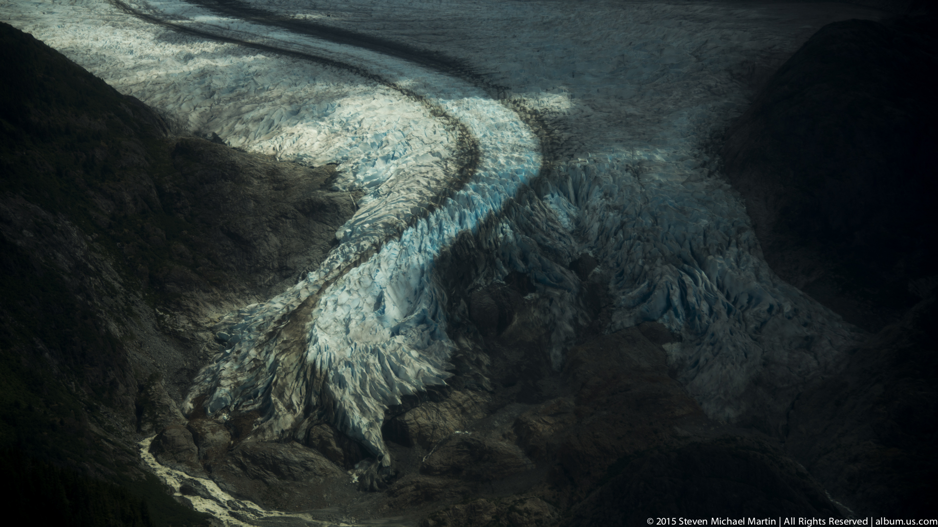
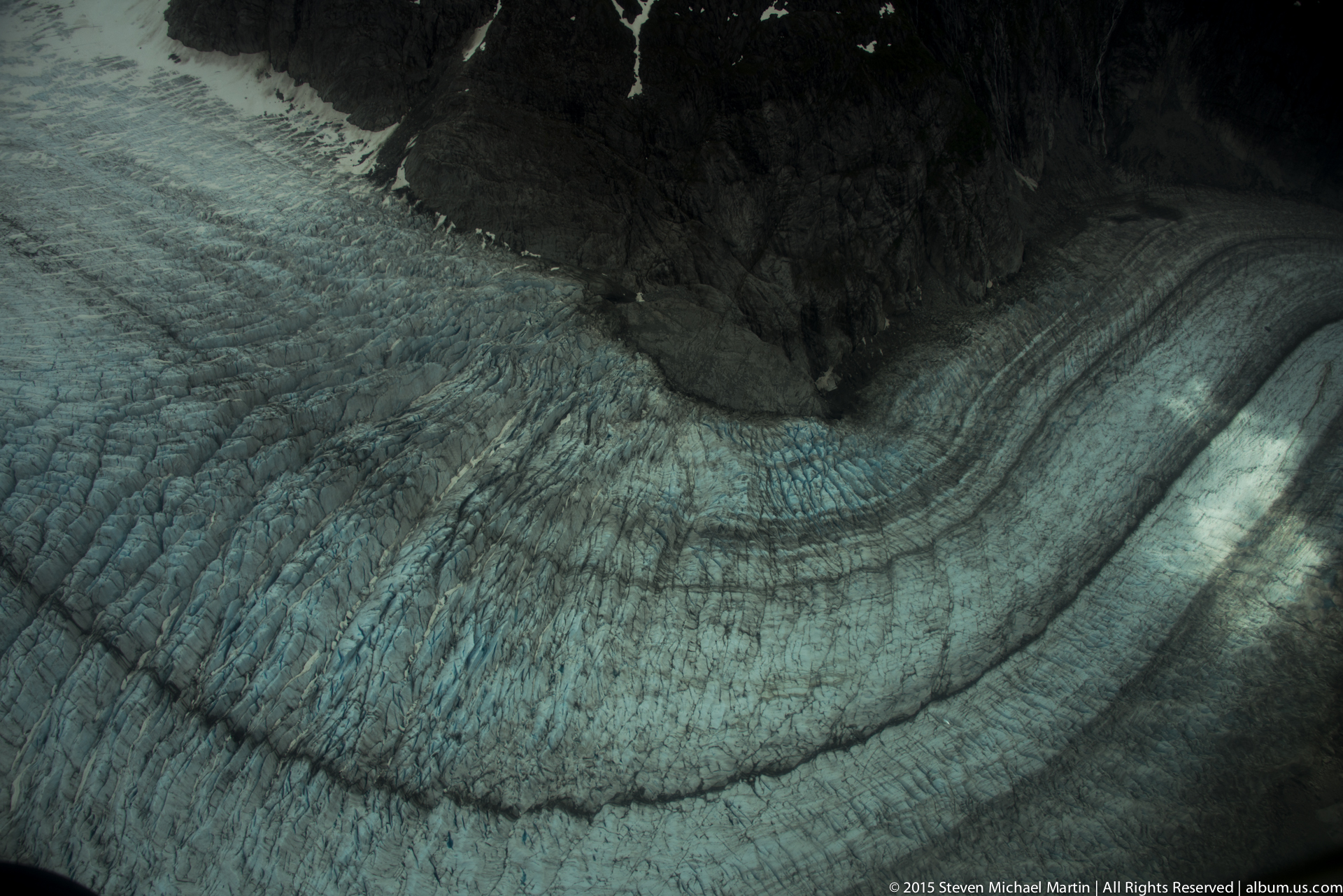
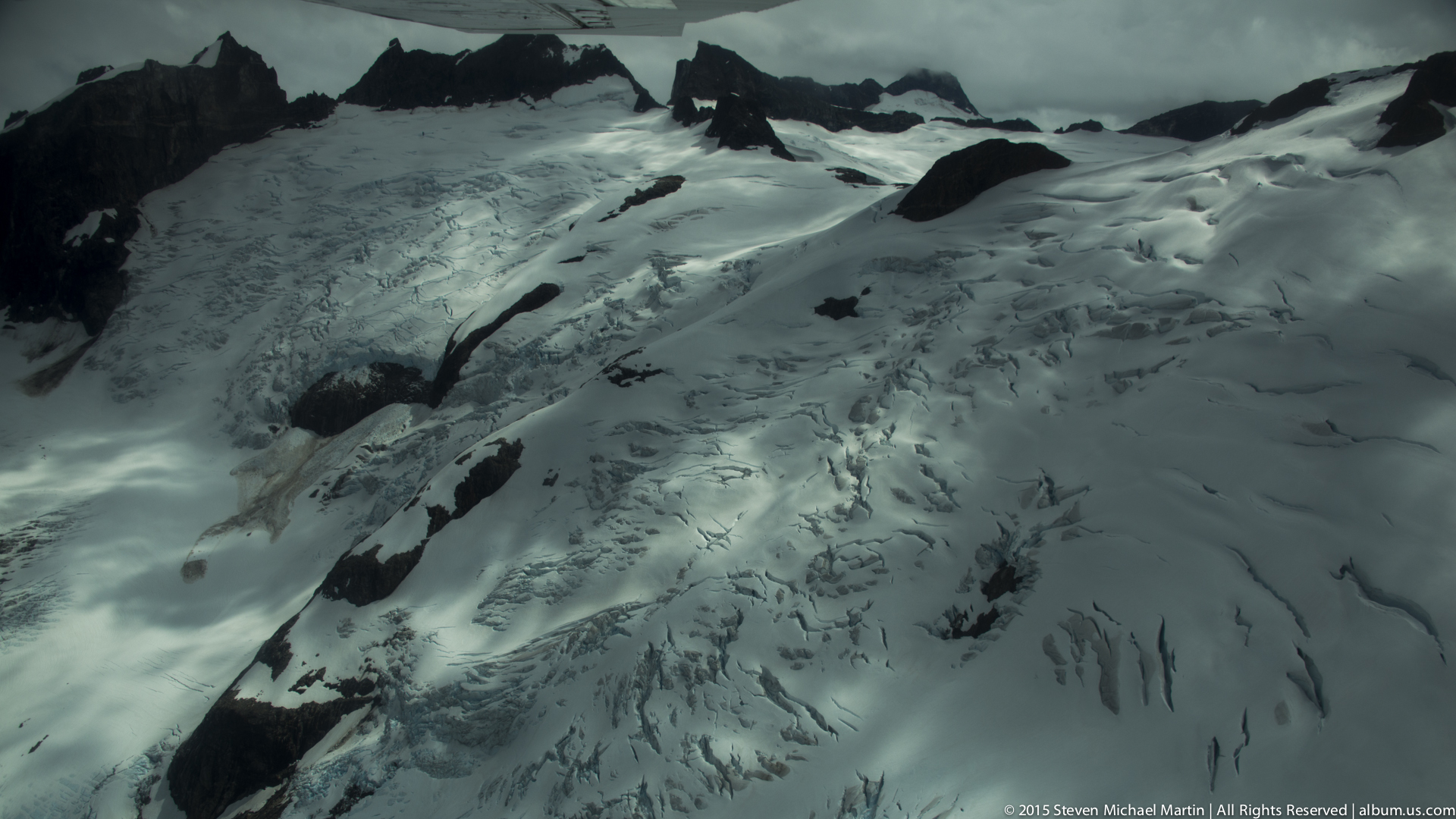
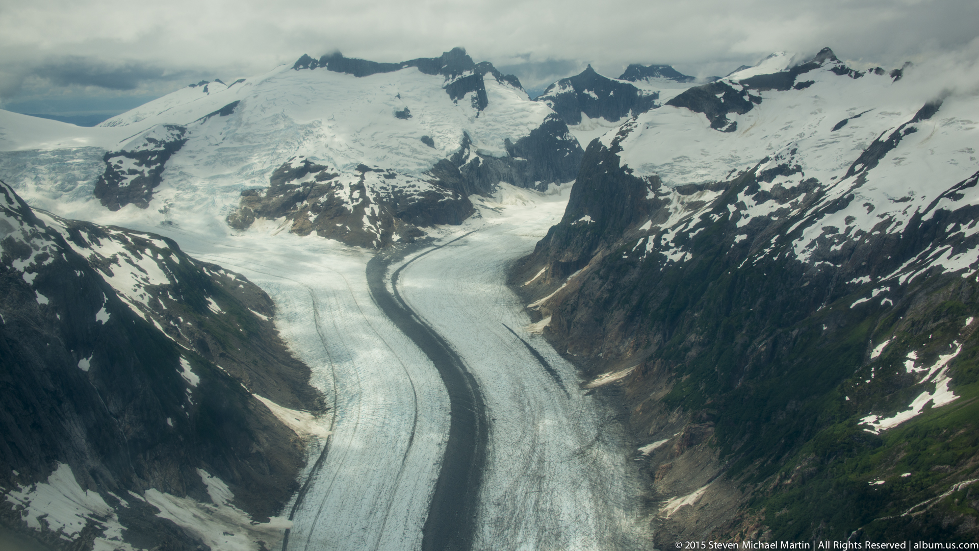
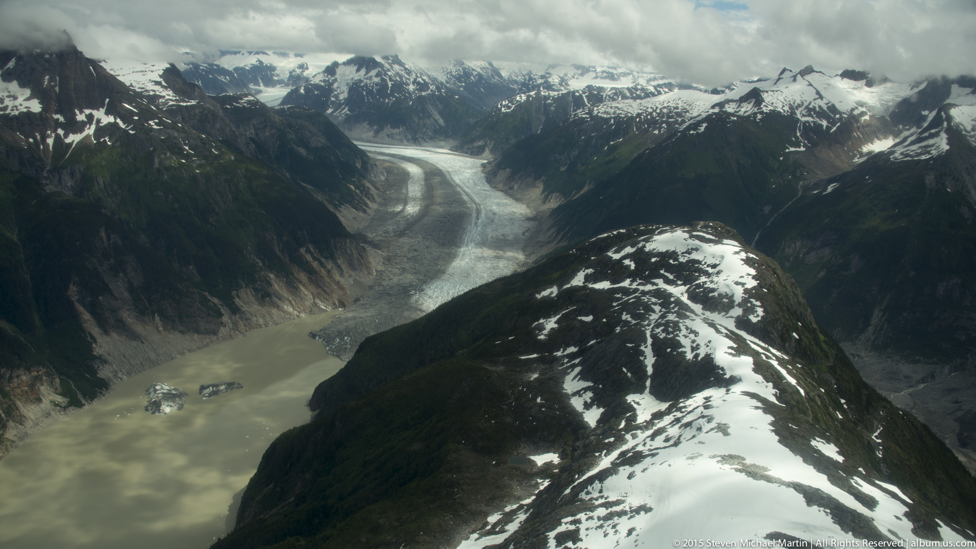
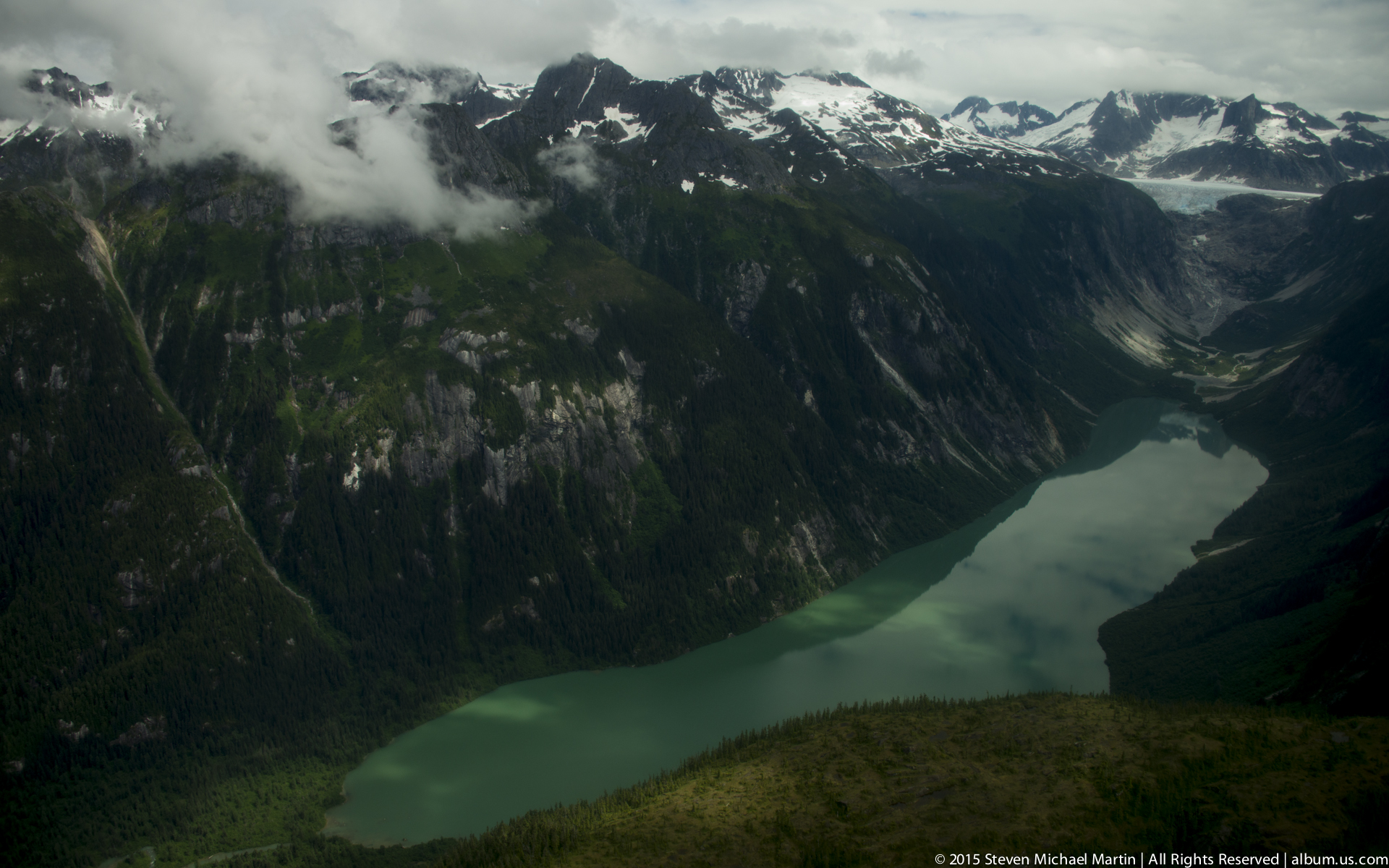
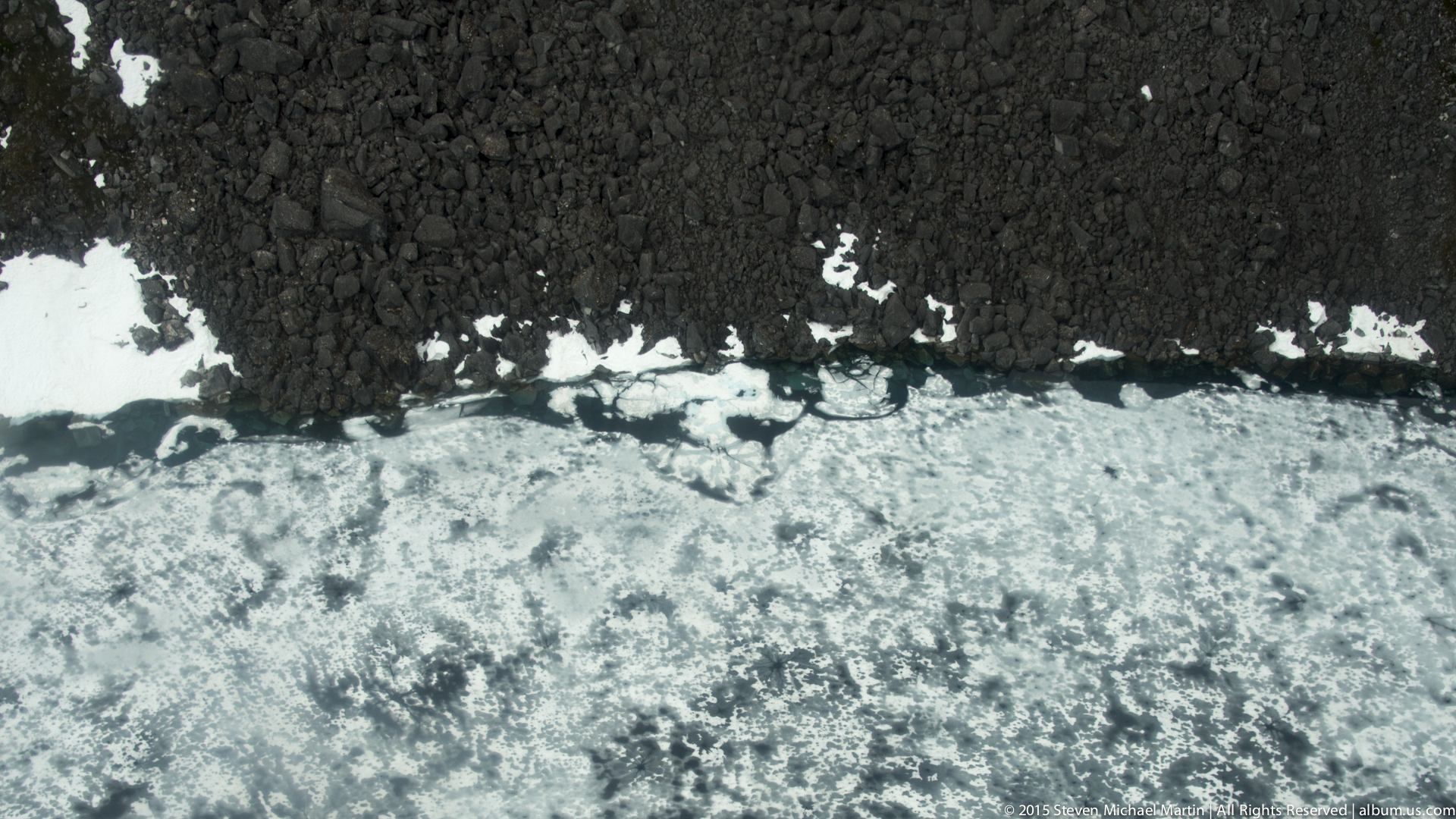
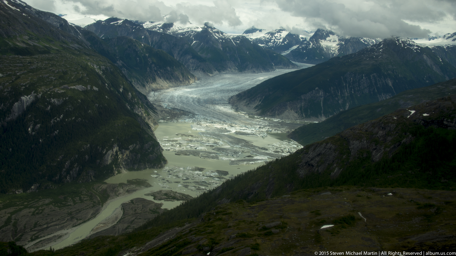
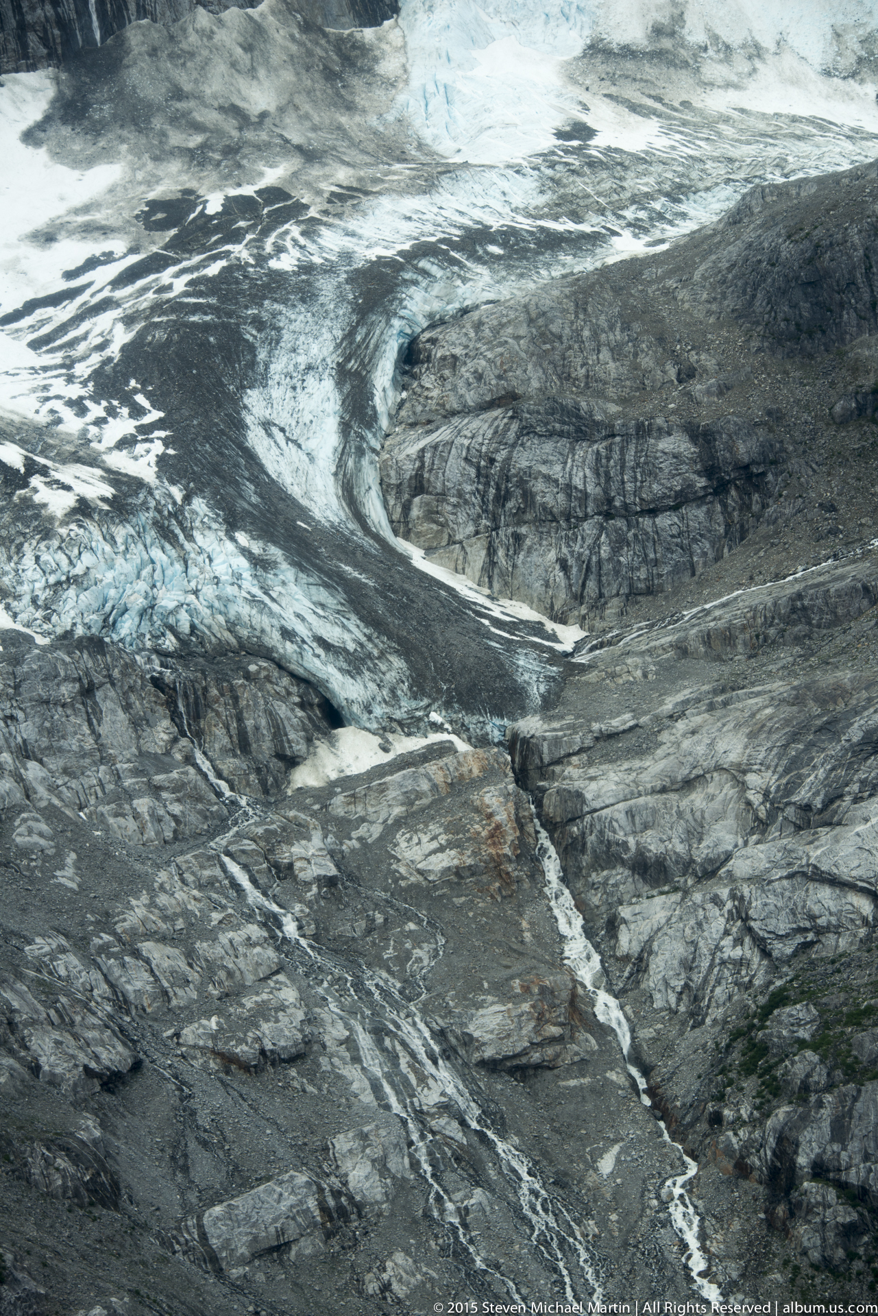
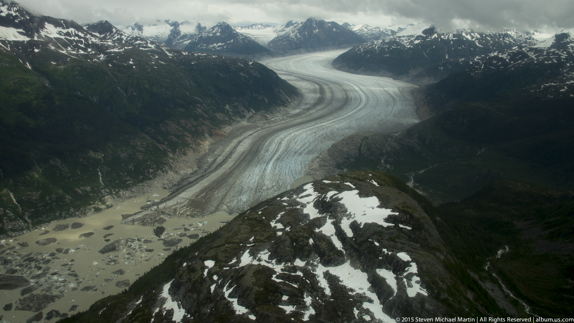
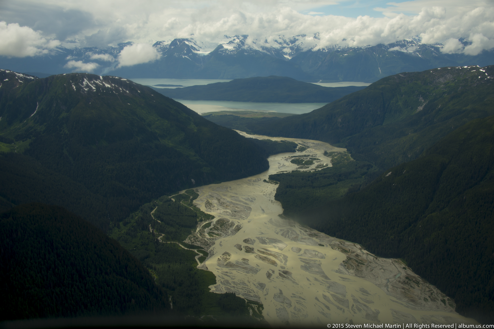
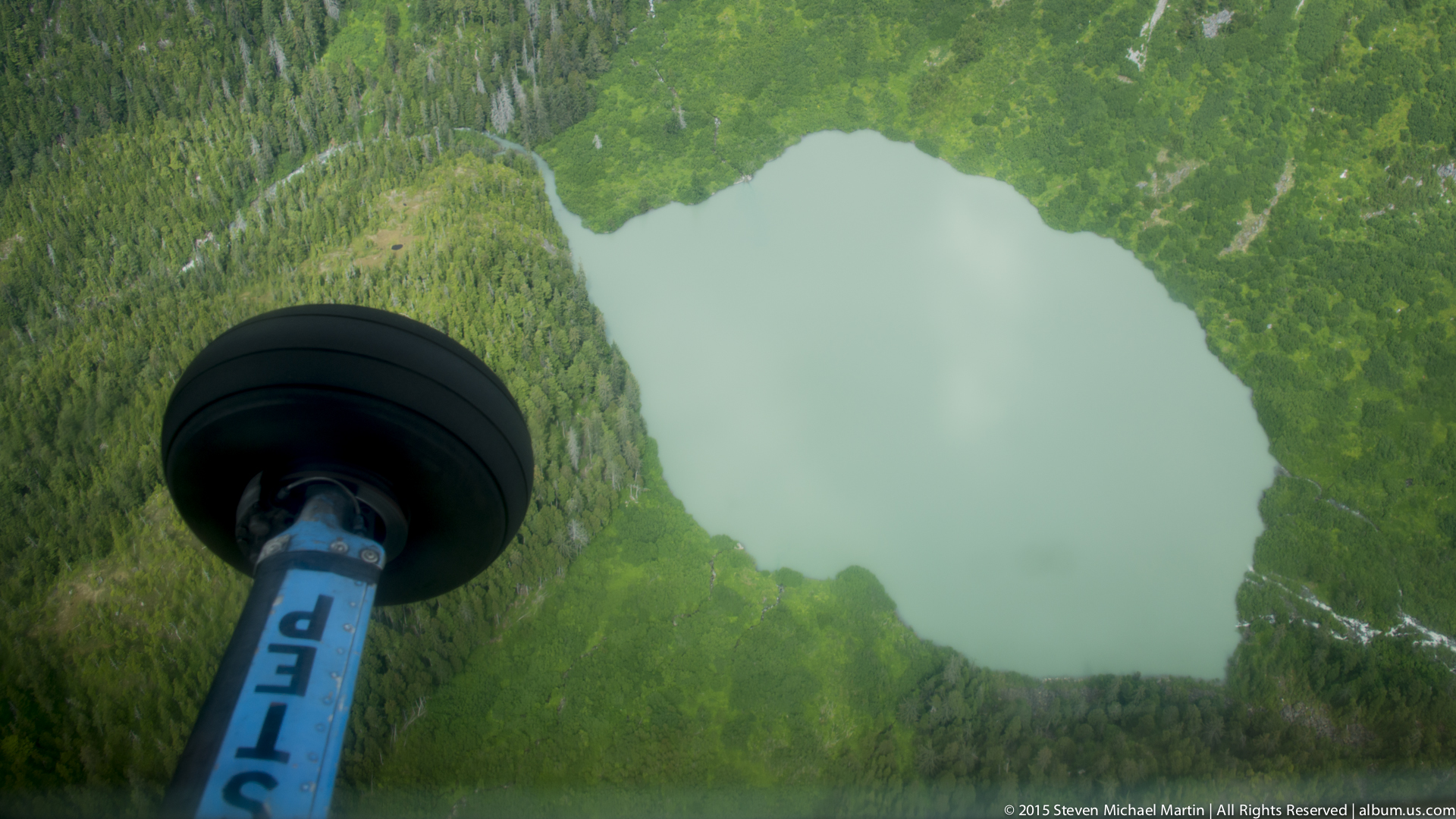
Viewing Alaska’s glacier systems from the air provides a perspective that emphasizes the vast scale of the region’s icefields. Patterns of crevasses, meltwater channels, and flowing ice become visible as continuous textures extending across mountain ranges. The aerial vantage point highlights how glaciers shape surrounding valleys, carving deep fjords and depositing sediment across wide plains.

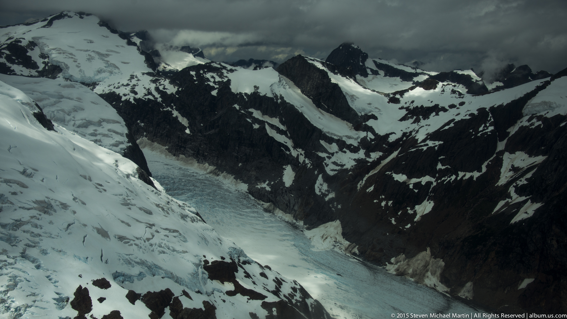
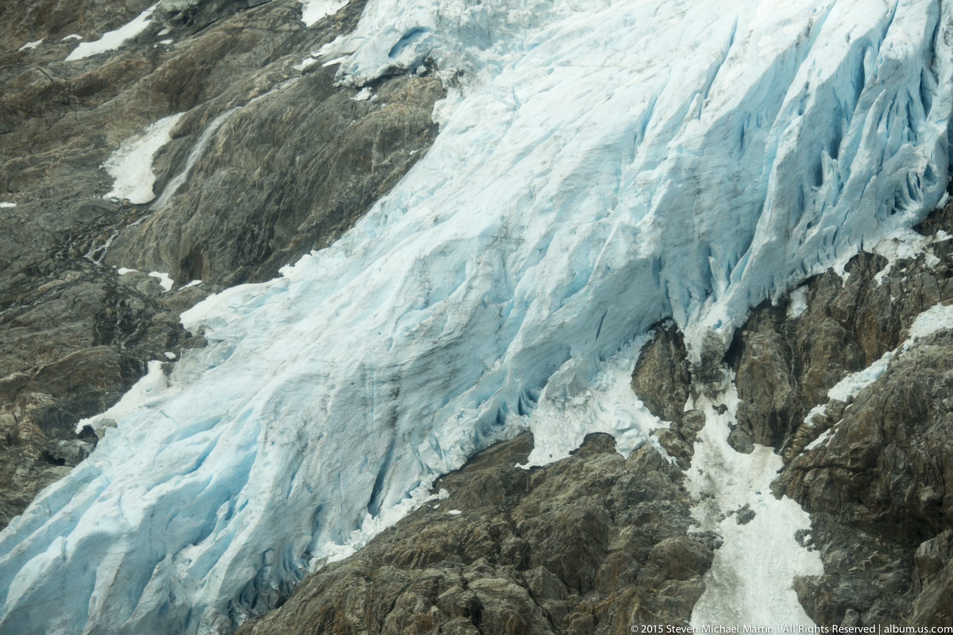
Flight routes often pass over interconnected glaciers that form part of larger icefield systems, where individual rivers of ice merge and separate across the terrain. Differences in elevation, slope, and sunlight create variations in color ranging from bright white snow to deep blue glacial ice. These visual contrasts emphasize the dynamic nature of glacial movement over long timescales.

Observing glaciers from above reinforces the geographic scale of Alaska’s mountain environments. The landscape appears less as isolated landmarks and more as part of an interconnected system of ice, rock, and weather patterns that continue to shape the region today.

You may also like

Leave a comment