Wheeler Peak – Great Basin National Park
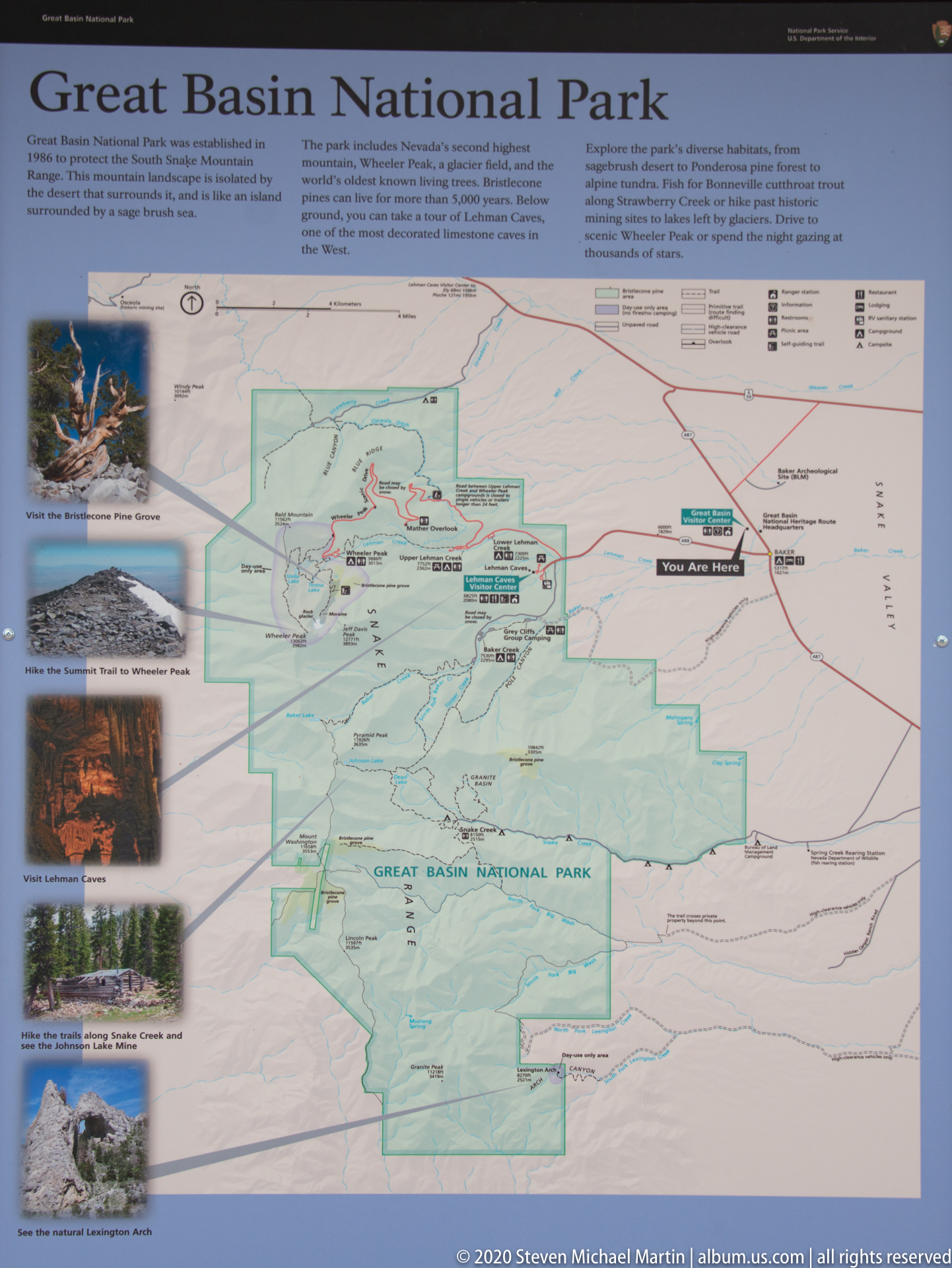
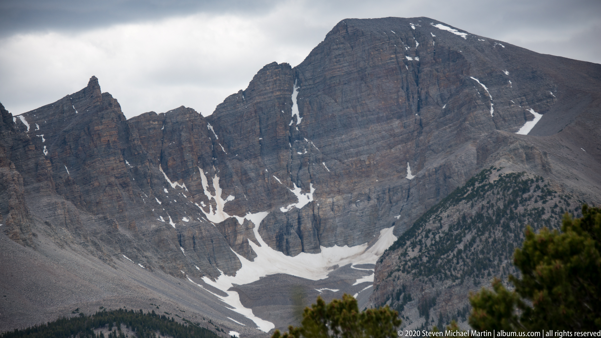
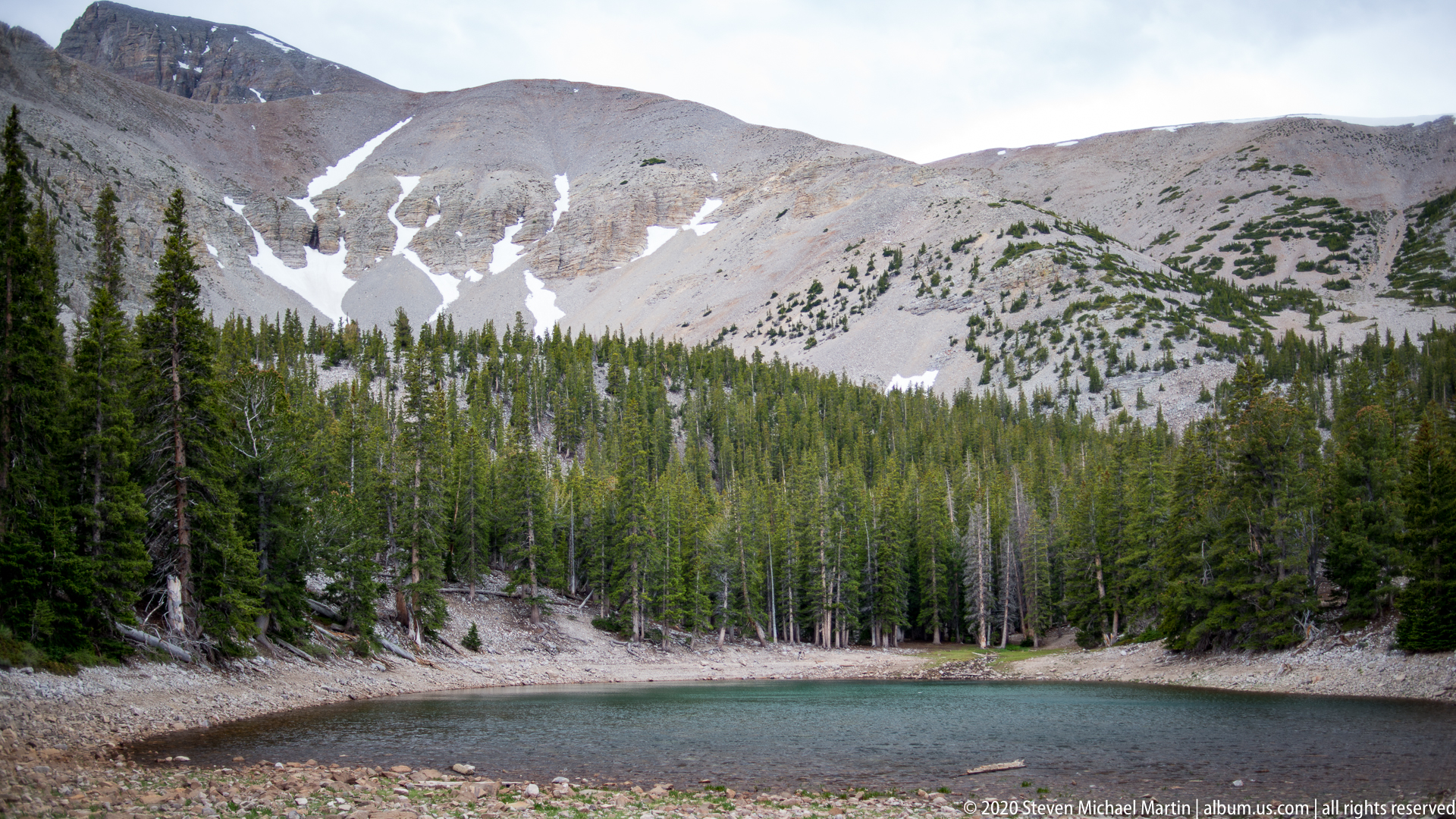
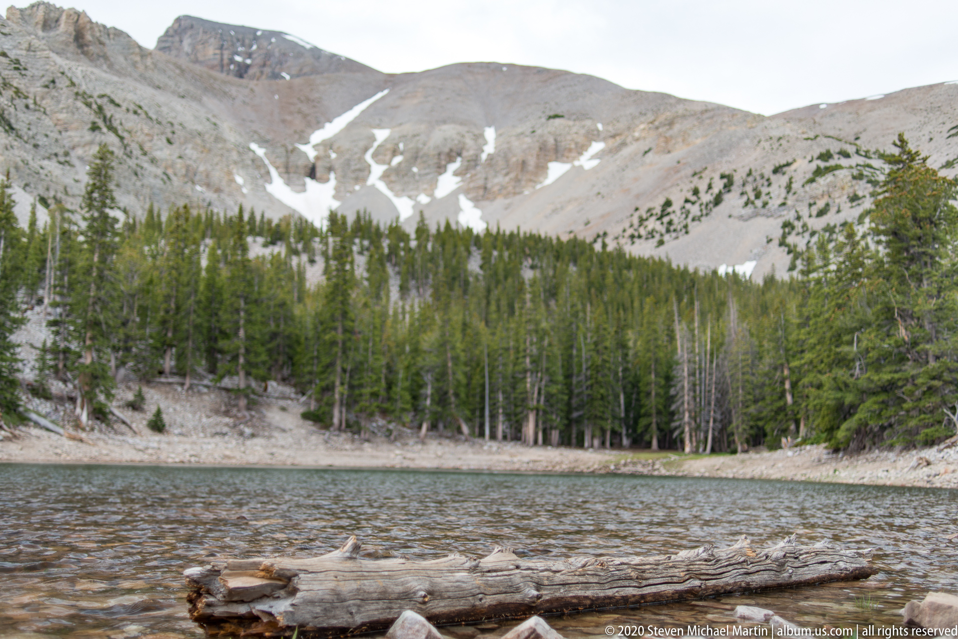
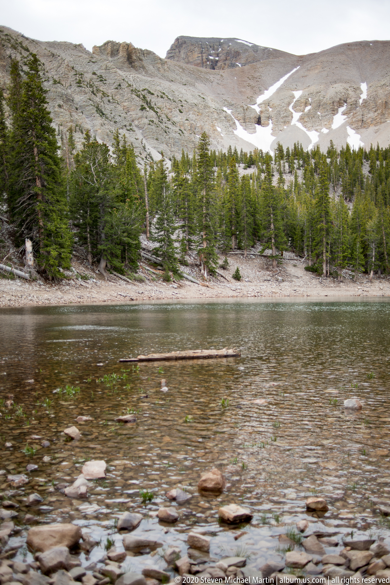
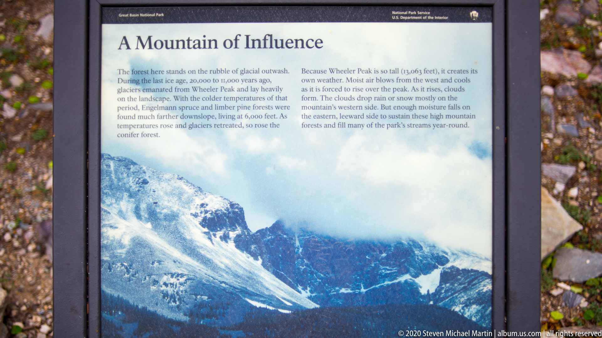
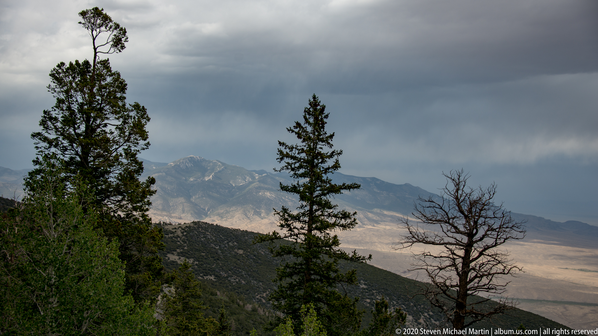
Wheeler Peak rises above the surrounding mountain landscape as one of the defining landmarks of Great Basin National Park. The peak is the second-highest summit in Nevada and anchors the park’s high-elevation environment of alpine slopes, exposed ridges, and glacially shaped terrain. Its prominence gives the park a mountain character that contrasts strongly with the surrounding basin and desert landscapes of the Great Basin region.
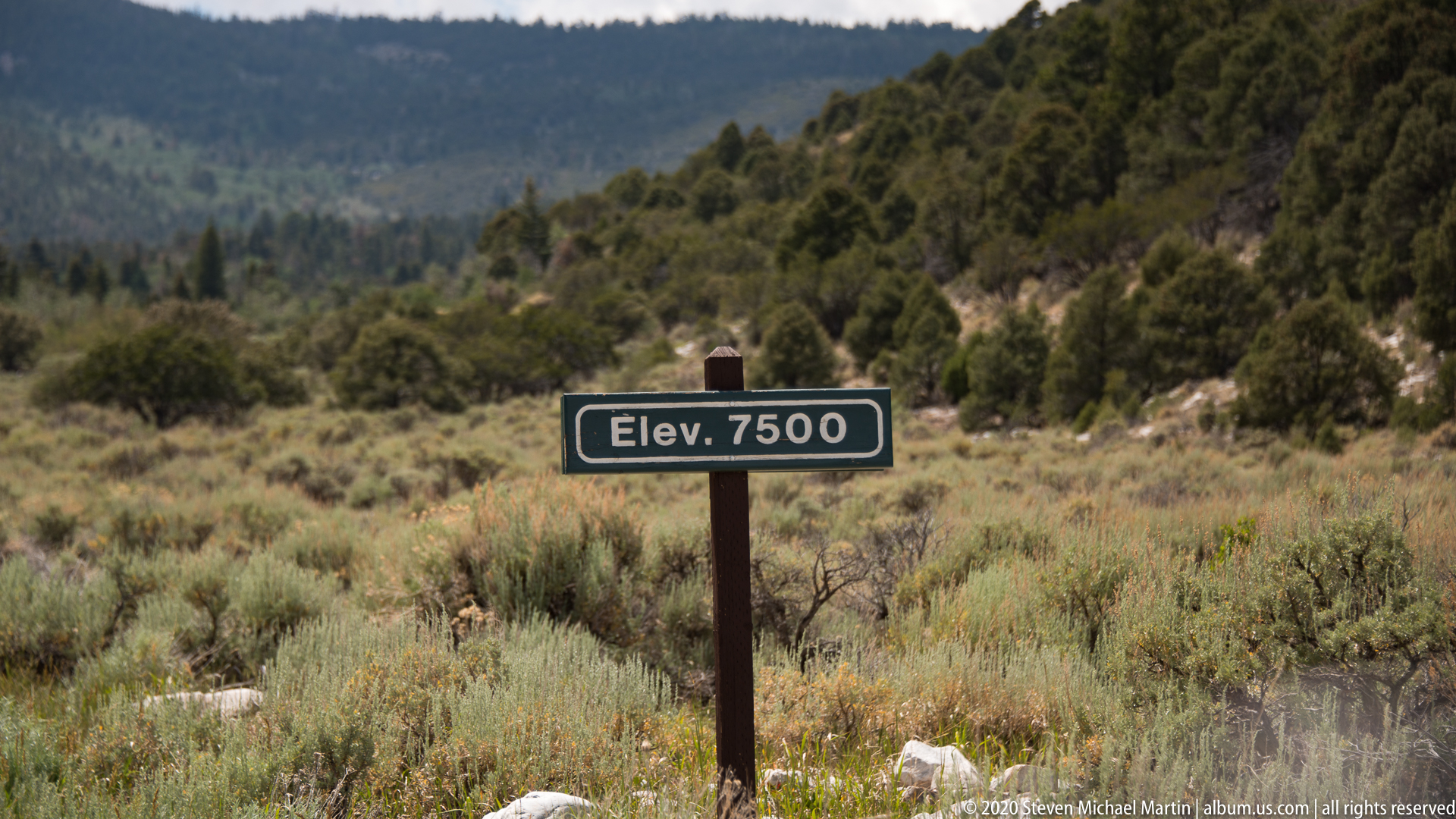
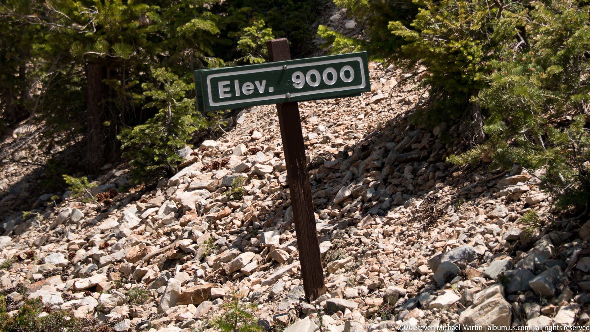
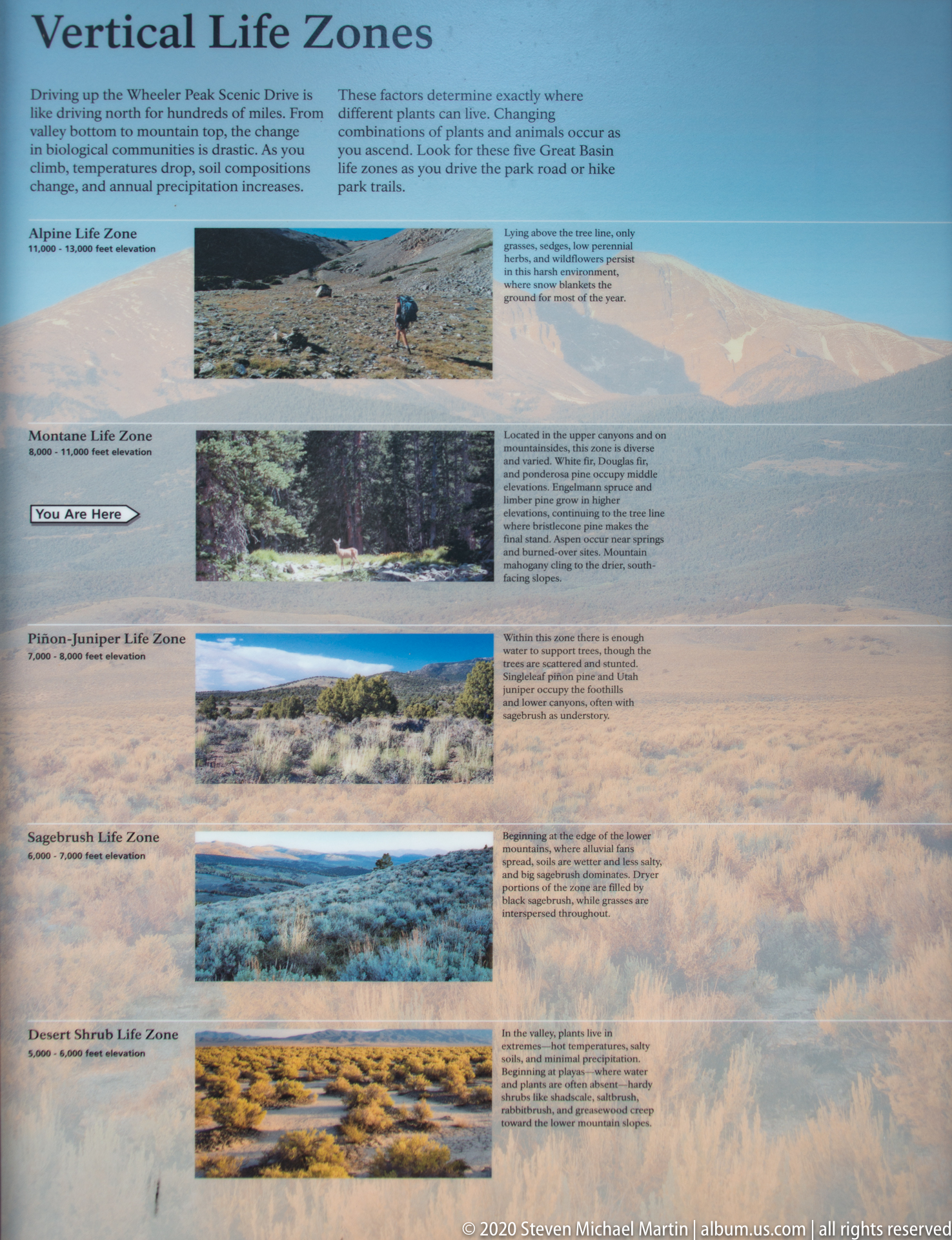
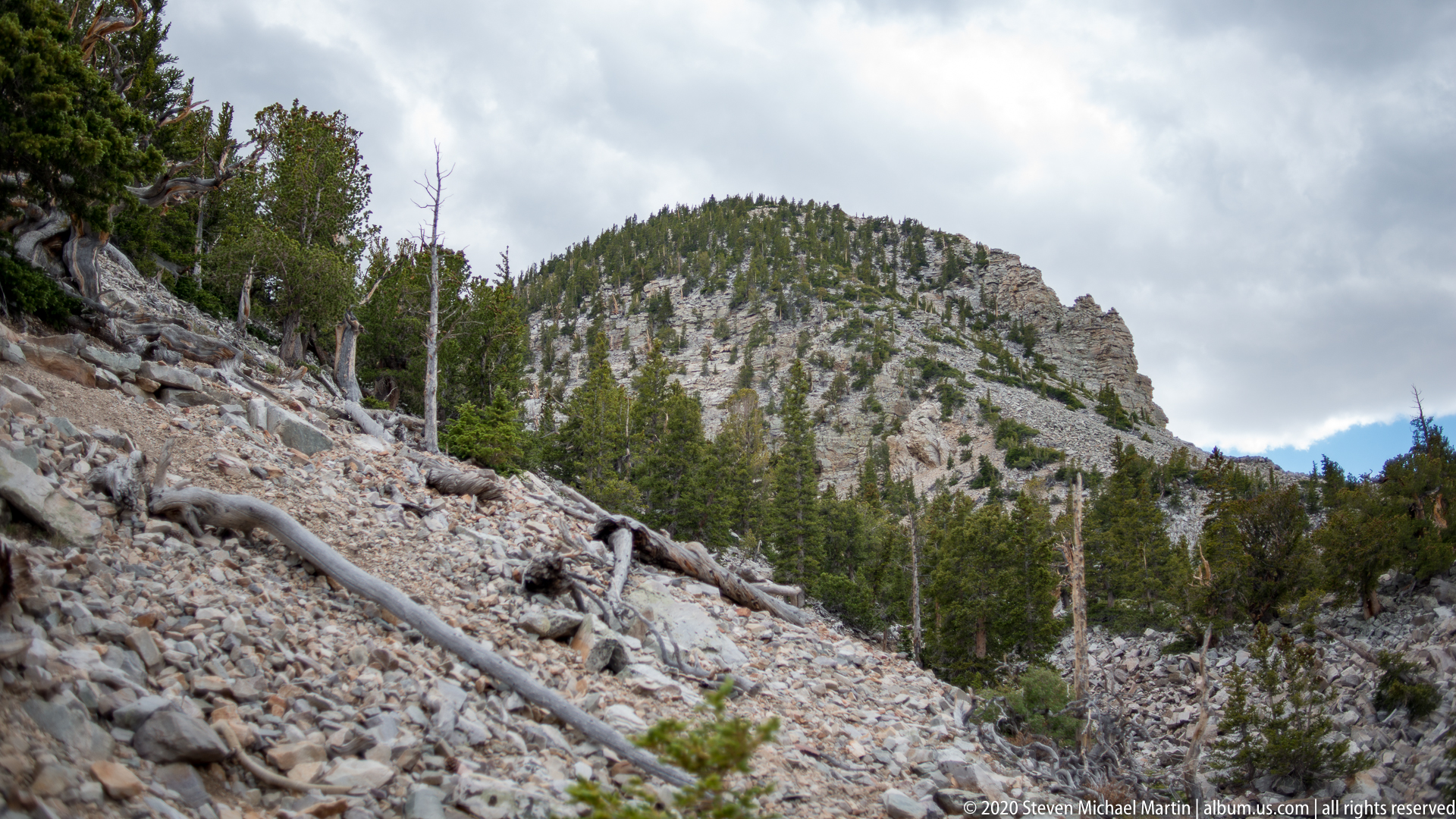
Access to views of Wheeler Peak is closely tied to the scenic drive and trail system that climbs into the upper elevations of the park. The mountain environment includes rocky slopes, bristlecone pine groves, and sweeping vistas that extend across a broad portion of eastern Nevada. The peak illustrates the relationship between elevation, climate, and landscape diversity within the park.
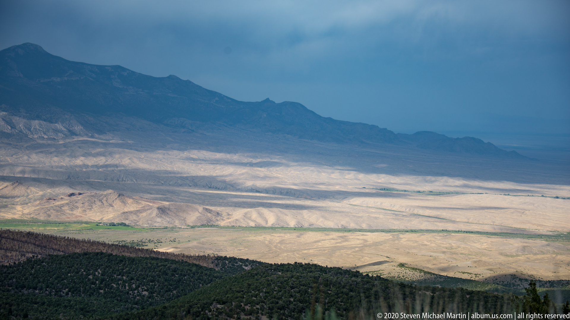
Visitors experience Wheeler Peak either from overlooks or from trails that approach its high slopes and summit. The mountain creates a strong visual centerpiece for the park and emphasizes the vertical scale of a landscape where alpine terrain rises directly above desert basins. On clear days, the sense of openness and distance is especially striking.
Great Basin National Park — Field Guide
National Park Field Guide
📍 Overview
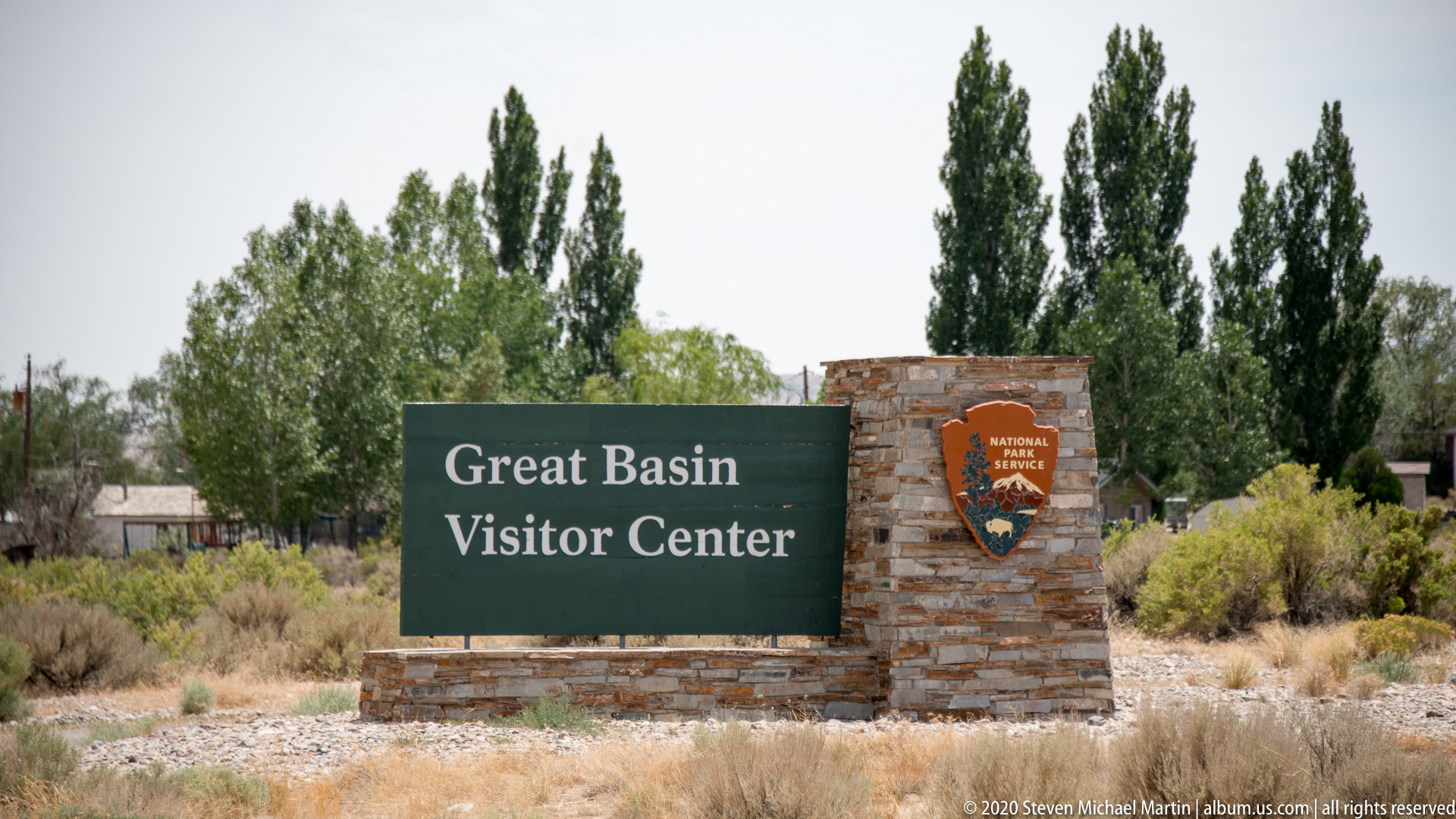
Great Basin National Park preserves a high-elevation landscape defined by rugged mountain terrain, ancient bristlecone pine groves, and exposed geological formations shaped by long-term tectonic activity. Located within eastern Nevada, the park protects a portion of the Snake Range where Wheeler Peak rises prominently above surrounding desert basins. The dramatic elevation change creates a striking transition between arid lowlands and alpine environments.
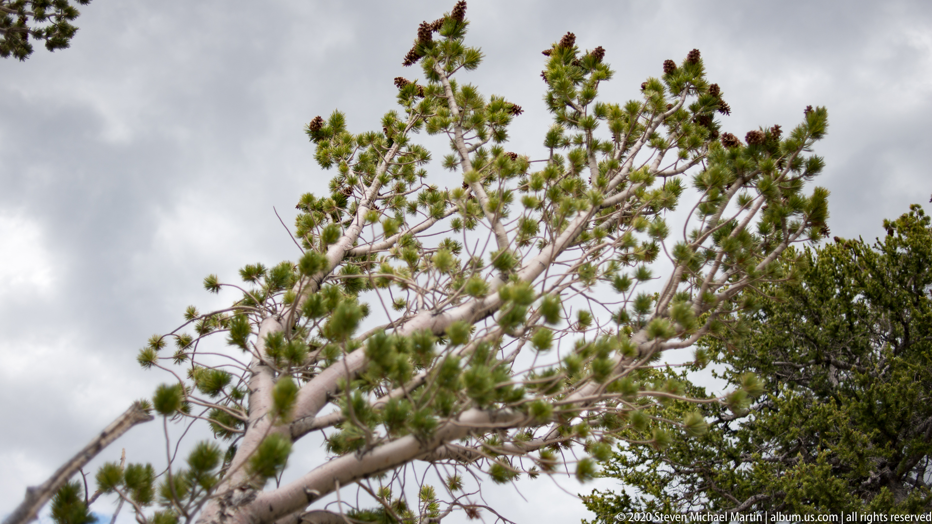
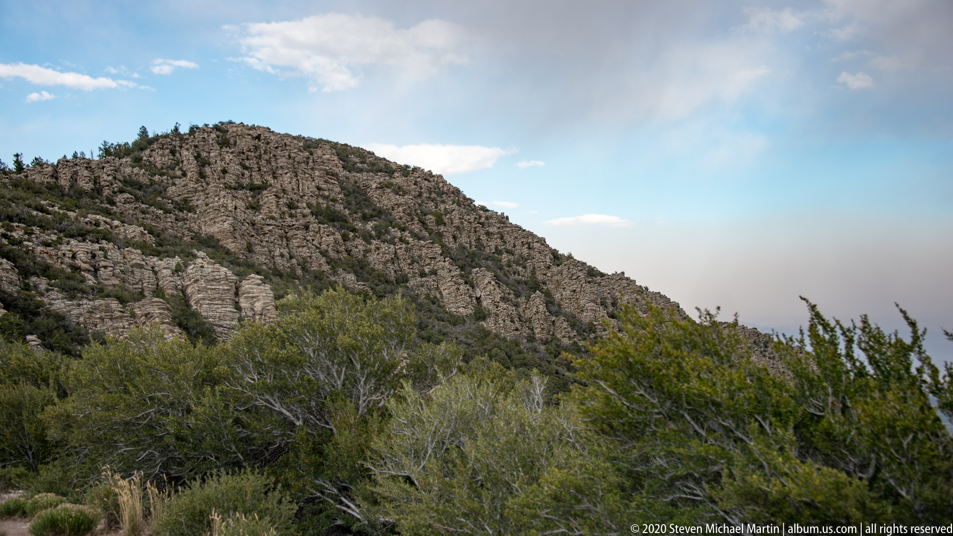
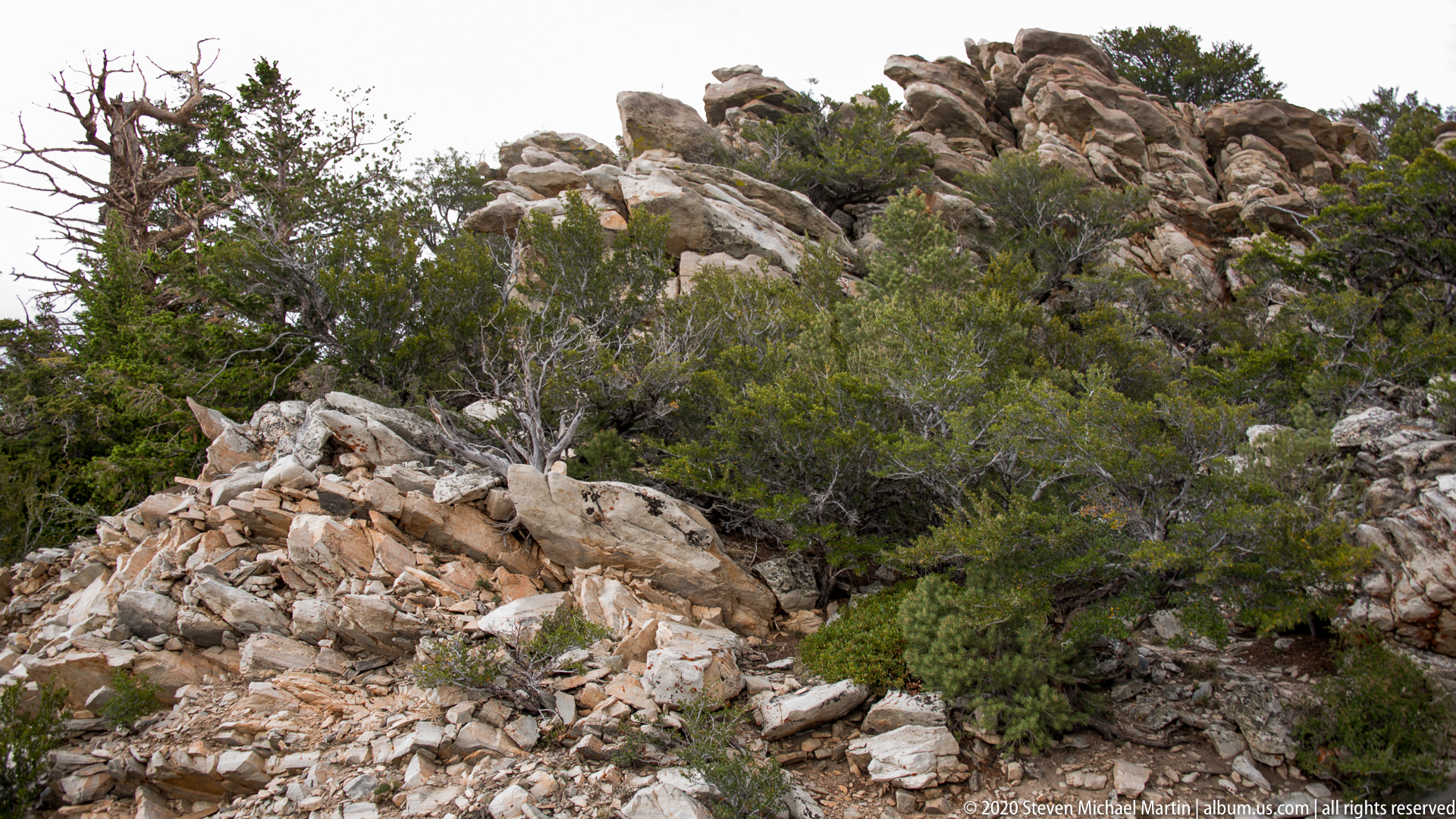
Geological forces lifted the Snake Range through faulting that produced steep mountain slopes and broad basin landscapes characteristic of the Basin and Range Province. The park contains exposed limestone formations, glacial features, and high-elevation ridges that illustrate the interaction between tectonic uplift, erosion, and climatic variation. Bristlecone pine forests grow in thin soils near treeline, where harsh conditions allow these slow-growing trees to survive for thousands of years.
⭐ Highlights
- Ancient bristlecone pine groves near treeline
- Wheeler Peak alpine mountain landscape
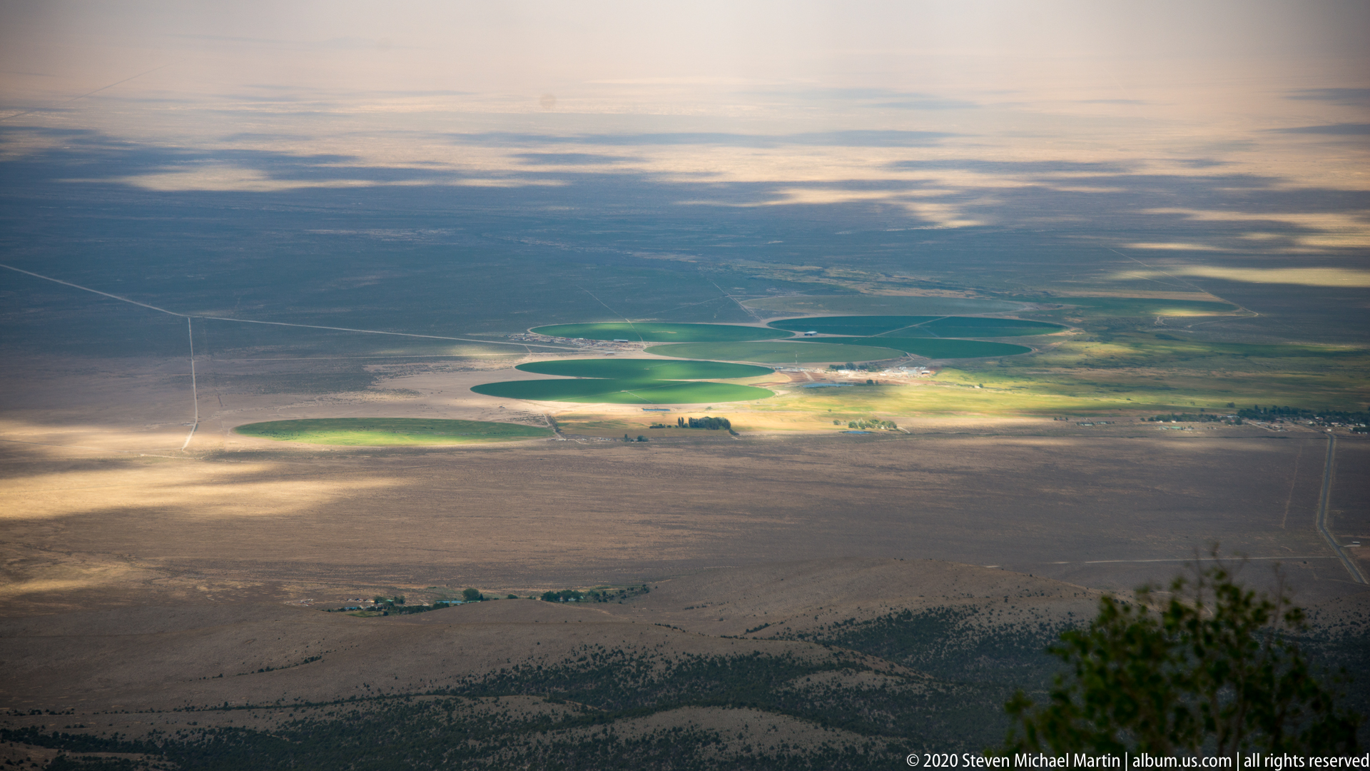
- High elevation views across desert basins
- Limestone geology shaped by uplift and erosion
- Transition from desert environment to alpine terrain
🔎 Key Features
- Basin and Range fault-block mountain formation
- Ancient bristlecone pine ecosystems
- Glacially influenced high-elevation terrain
- Limestone formations exposed through uplift
- Elevation-driven ecological diversity
📷 Photography Notes
- Early and late light enhances texture in bristlecone pine bark
- Wide compositions capture contrast between mountain and basin landscapes
- Twisted tree forms create strong foreground subjects
- Cloud patterns add scale to alpine environments
- Look for compositions that combine rock, tree, and sky
- Side lighting emphasizes sculptural tree shapes