American Expeditions
The American Expeditions itineraries explore diverse regions of the United States through journeys that connect landscapes shaped by geology, climate, and cultural history. These routes follow river corridors, mountain passes, desert plateaus, and coastal environments that have long influenced patterns of exploration, settlement, and transportation. By linking national parks, historic sites, and scenic environments within broader geographic routes, these expeditions illustrate the relationship between terrain and the historical development of regional landscapes.
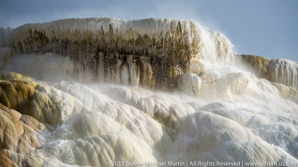
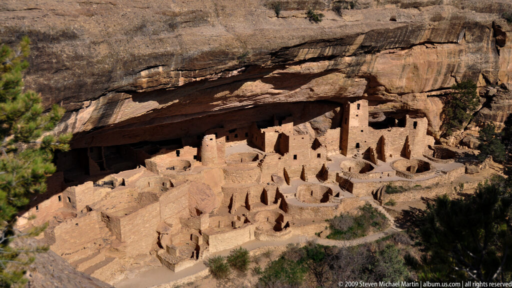
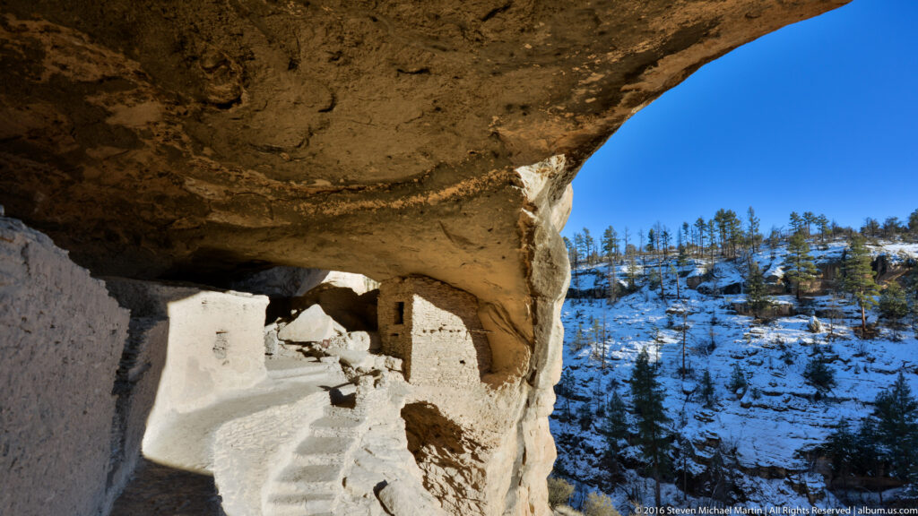
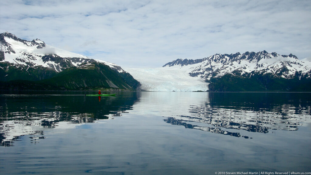
Western itineraries such as Hoodoos and Cacti, Grand Canyon, Las Vegas, and Sedona, Four Corners, and Gila to Coronado highlight the canyon landscapes, desert environments, and archaeological sites of the American Southwest. Northern and alpine routes including Dakota Badlands and Yellowstone and Glaciers, Fjords, and Mines illustrate mountain environments shaped by tectonic uplift and glaciation.
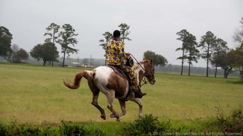
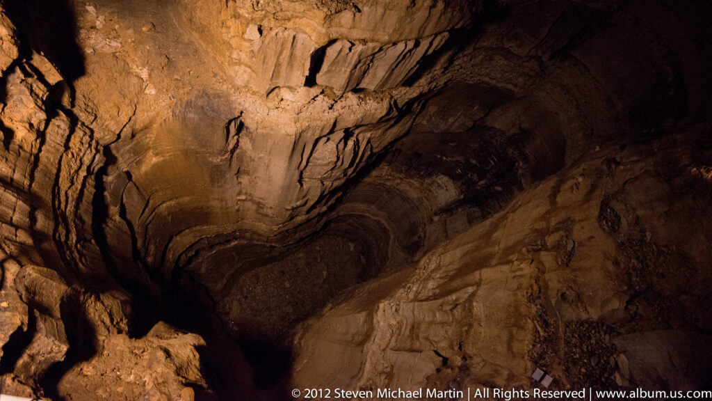
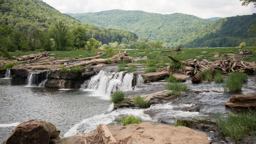
Eastern and central itineraries emphasize river systems, forest landscapes, and historic travel corridors that influenced early settlement patterns. Routes such as Mississippi River Origins, Daniel Boone Trail, and Cuyahoga, Caves, and Springs reflect the importance of inland waterways and mountain gaps as pathways for exploration and migration. Cultural landscapes represented in Cajun Mardi Gras illustrate regional traditions shaped by the interaction of geography and cultural history.
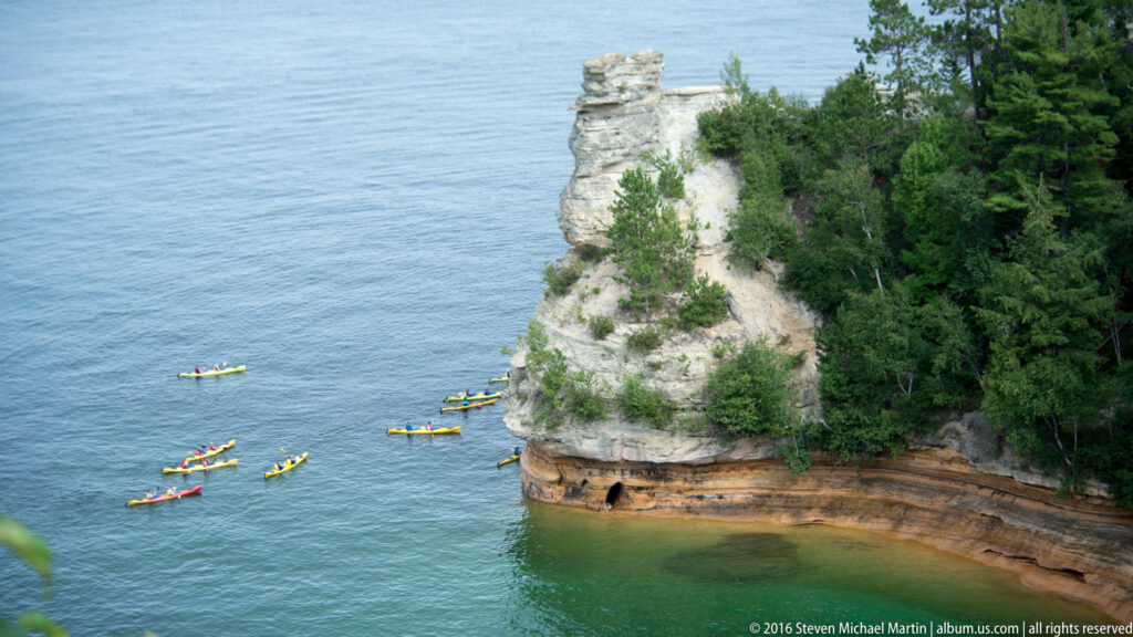
Seasonal and regional explorations such as Presidents Weekend and Upper Peninsula demonstrate how shorter journeys can reveal distinctive local environments shaped by climate, lake systems, and forest ecology. Together, these itineraries illustrate the geographic diversity of the United States by connecting individual destinations within broader regional narratives of landscape and travel.