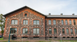
Pictured Rocks National Lakeshore
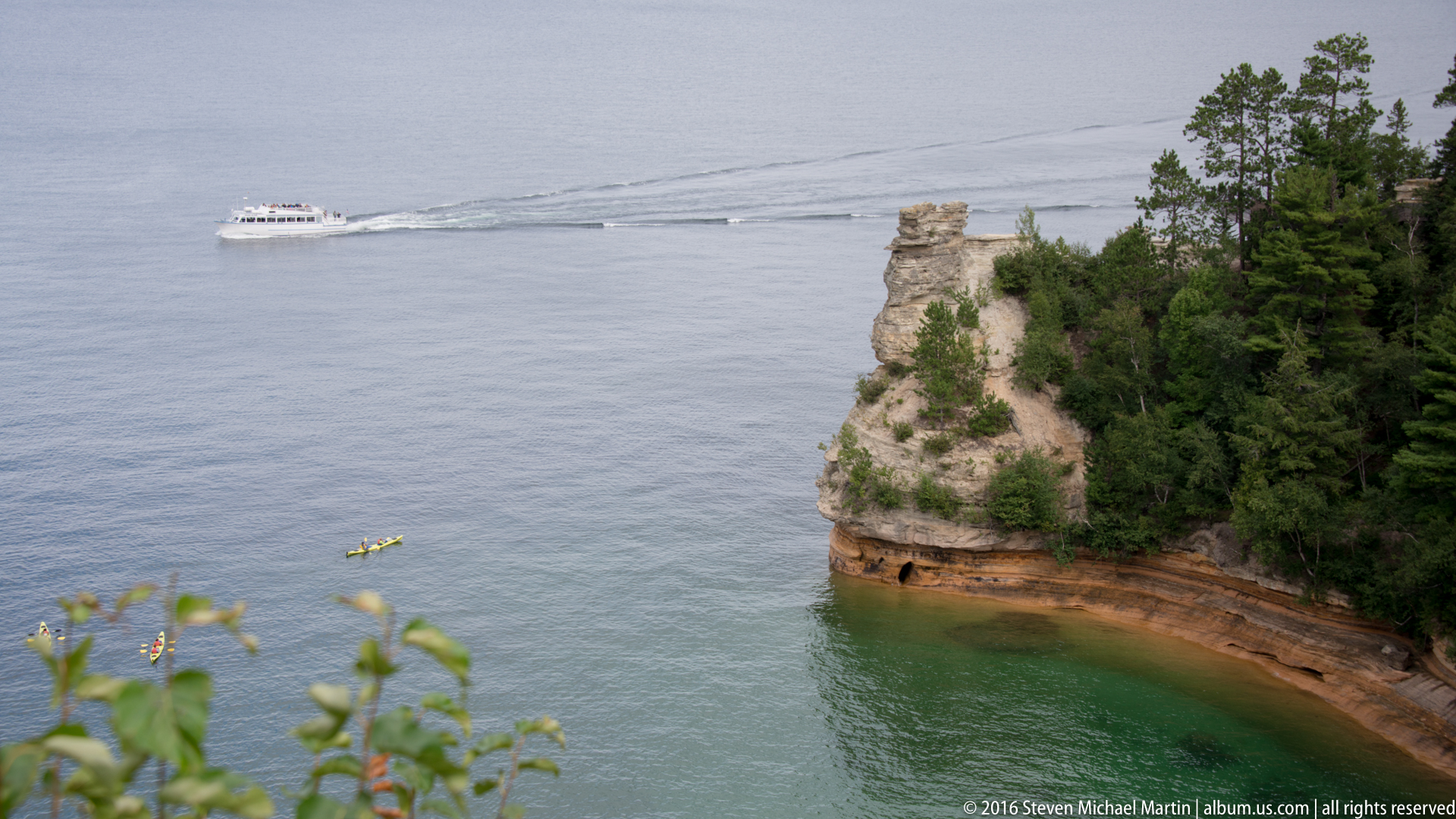
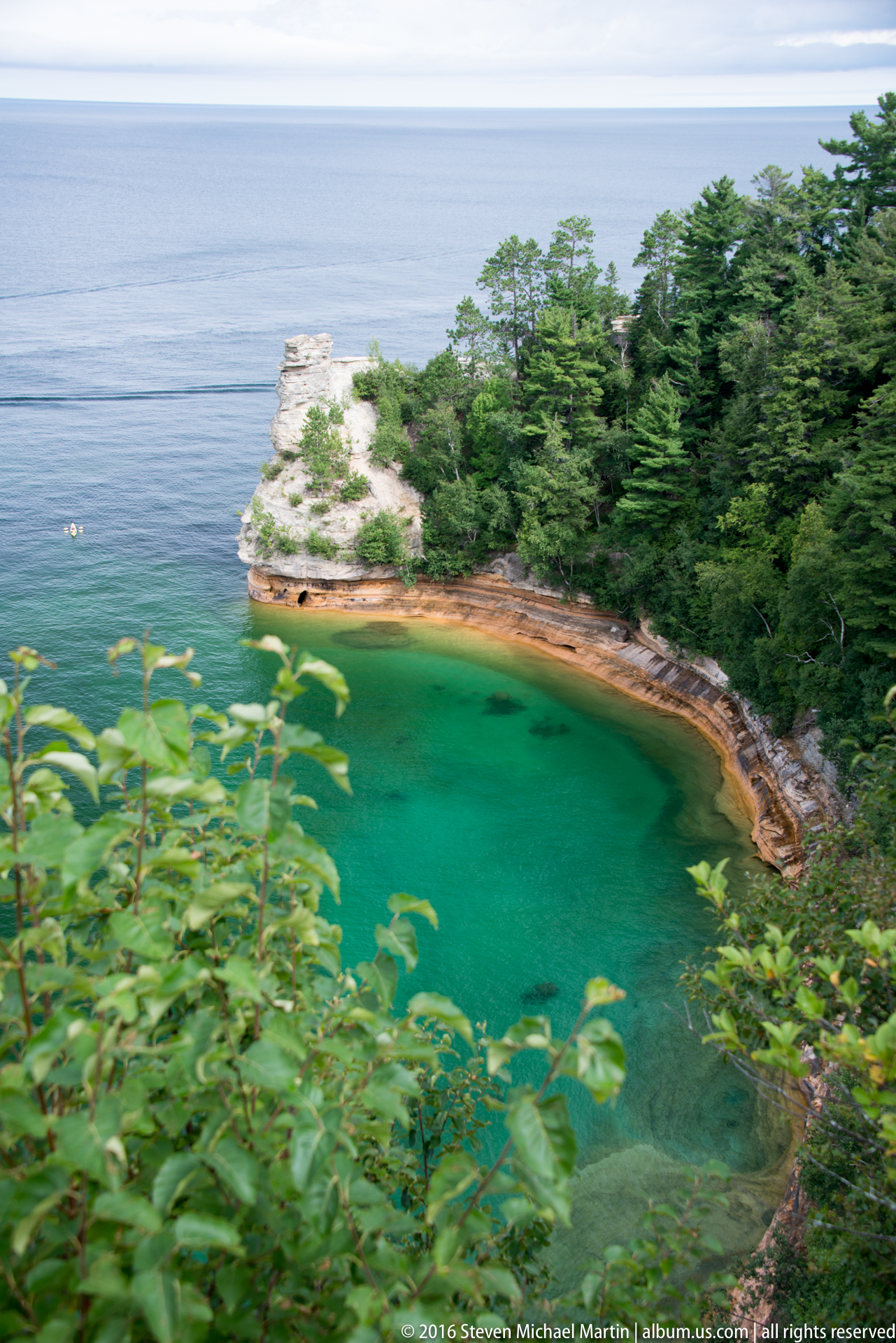
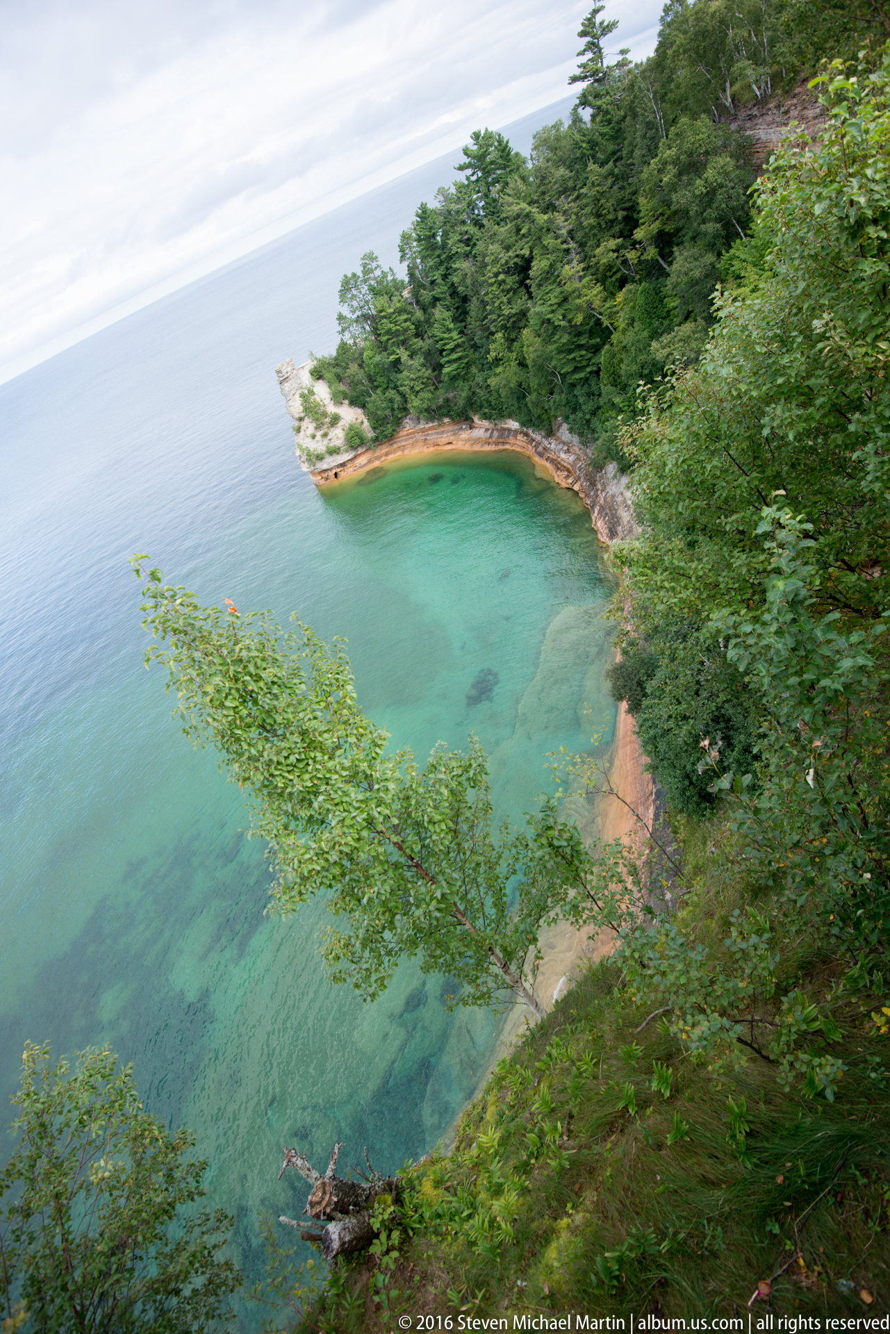
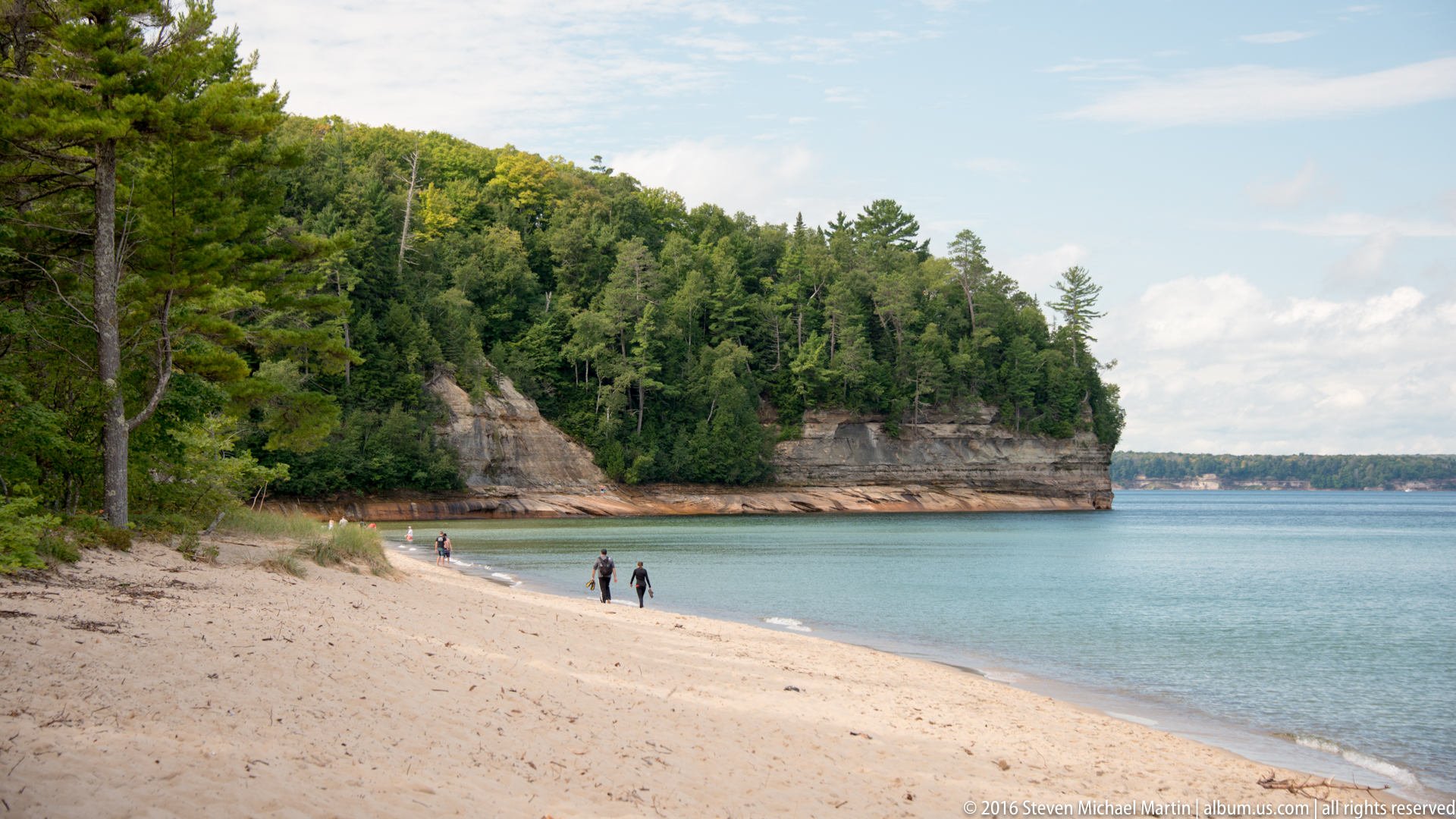
Pictured Rocks National Lakeshore protects a dramatic stretch of Lake Superior shoreline known for its colorful sandstone cliffs, beaches, waterfalls, and forested landscapes. The lakeshore extends for more than forty miles along the southern shore of Lake Superior and represents the first national lakeshore designated in the United States. The site illustrates the interaction between glacial history, mineral composition, and coastal erosion.
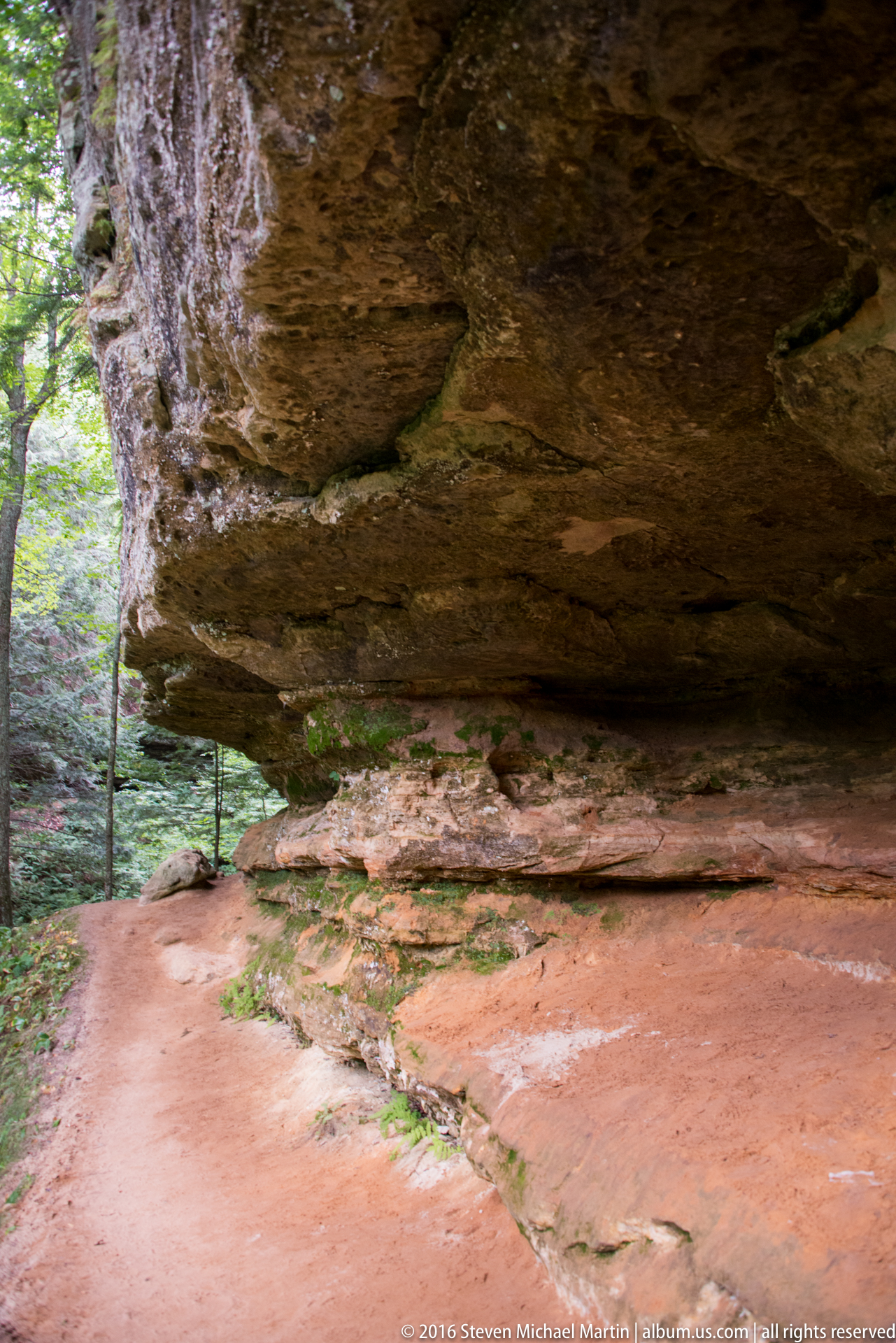
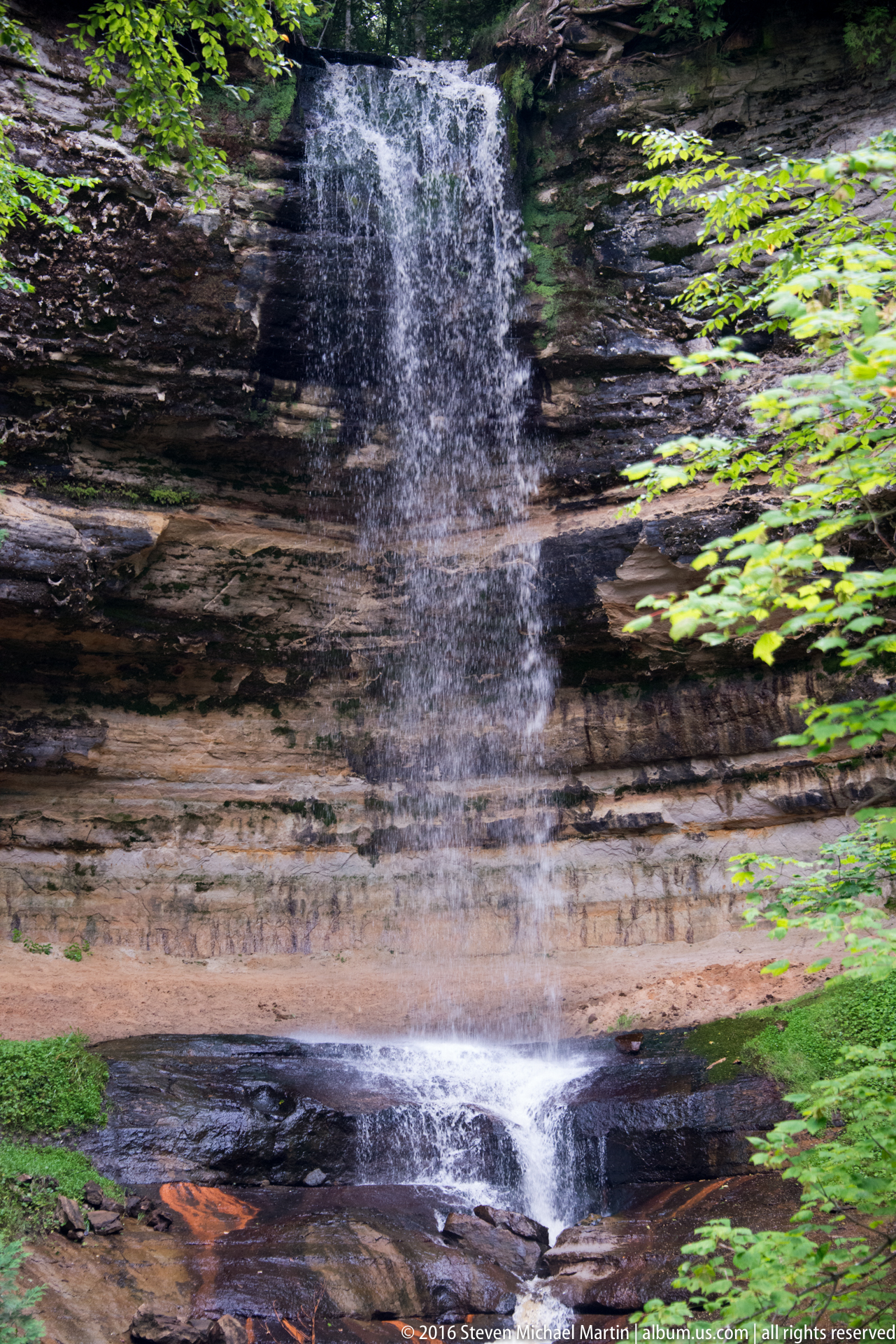
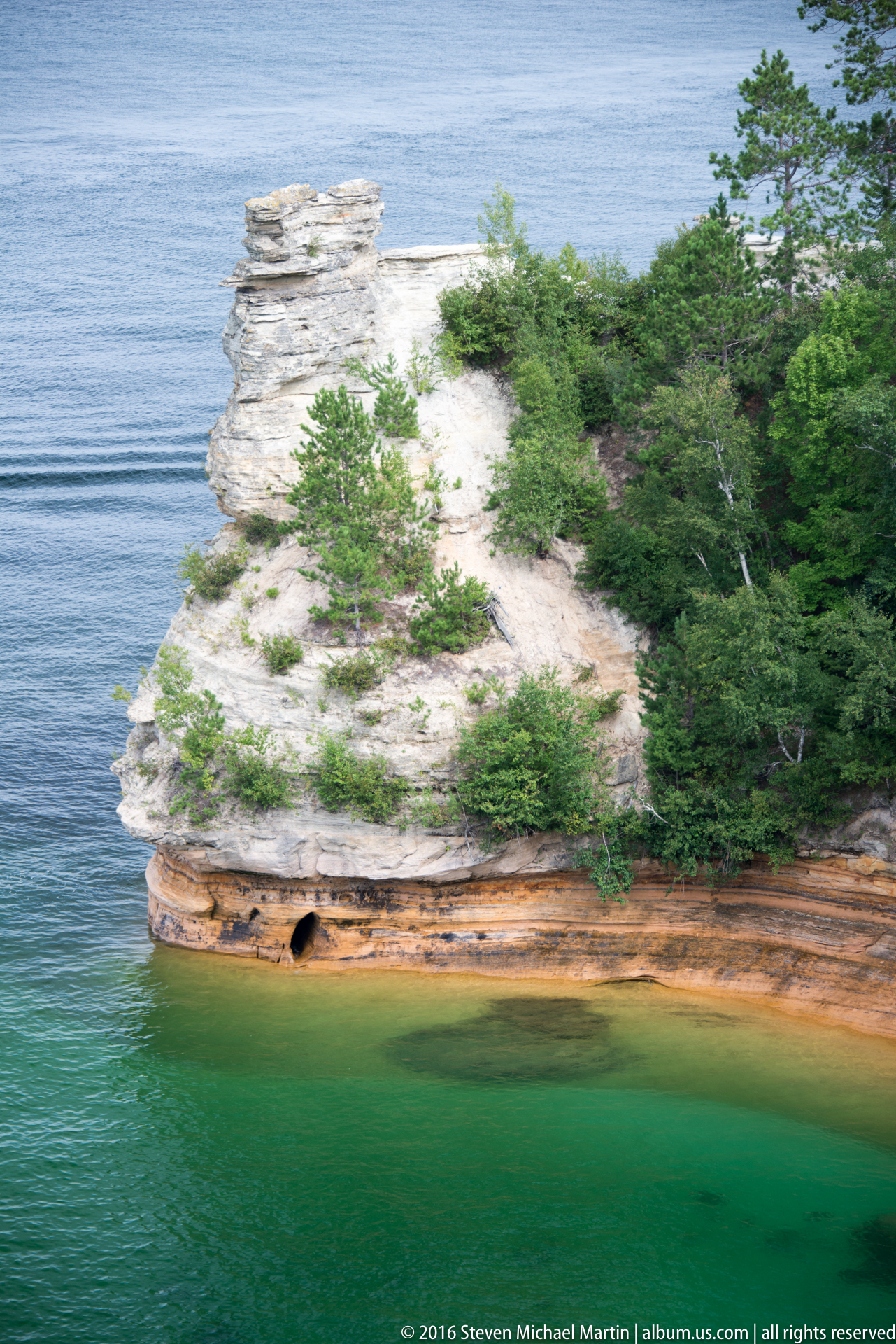
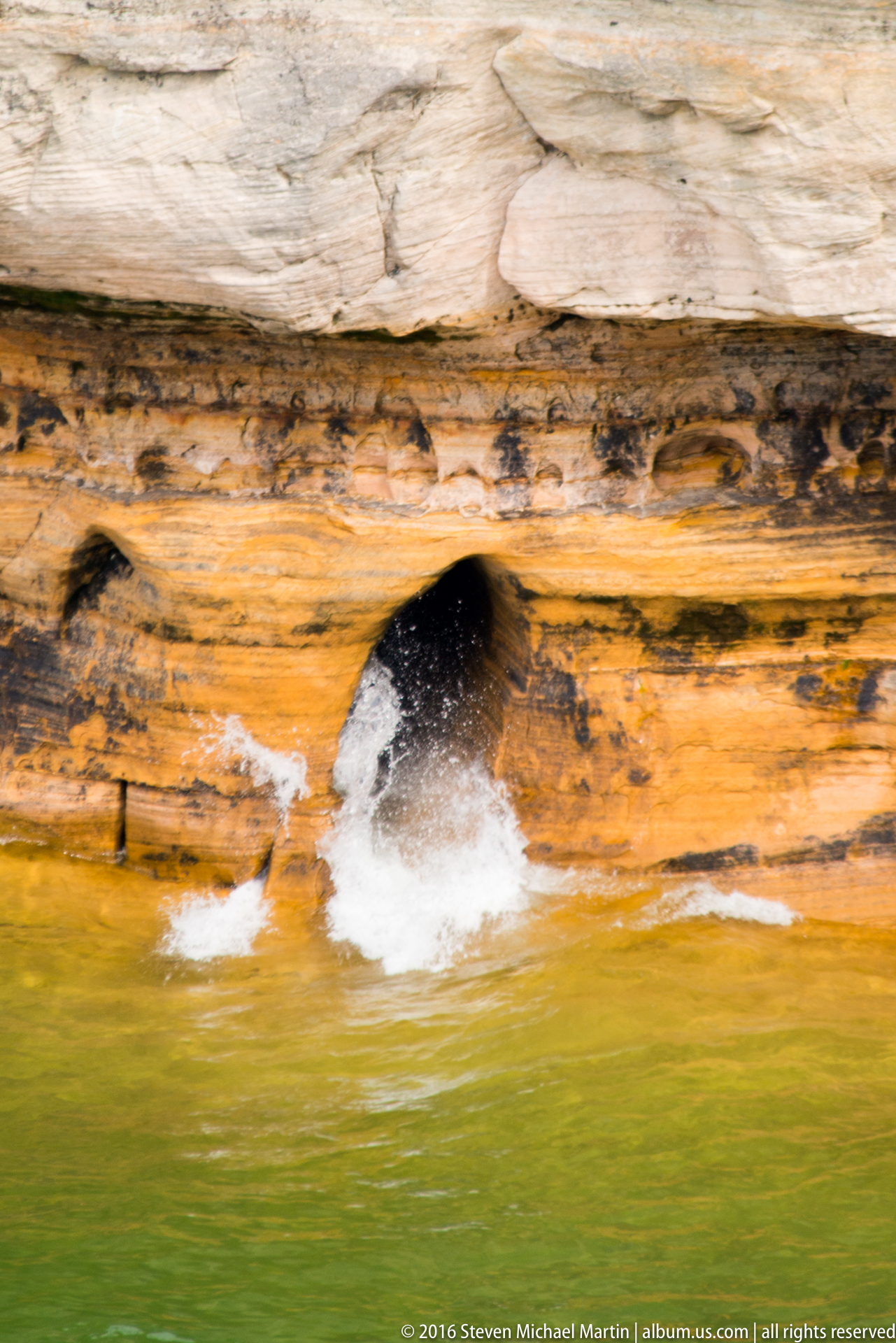
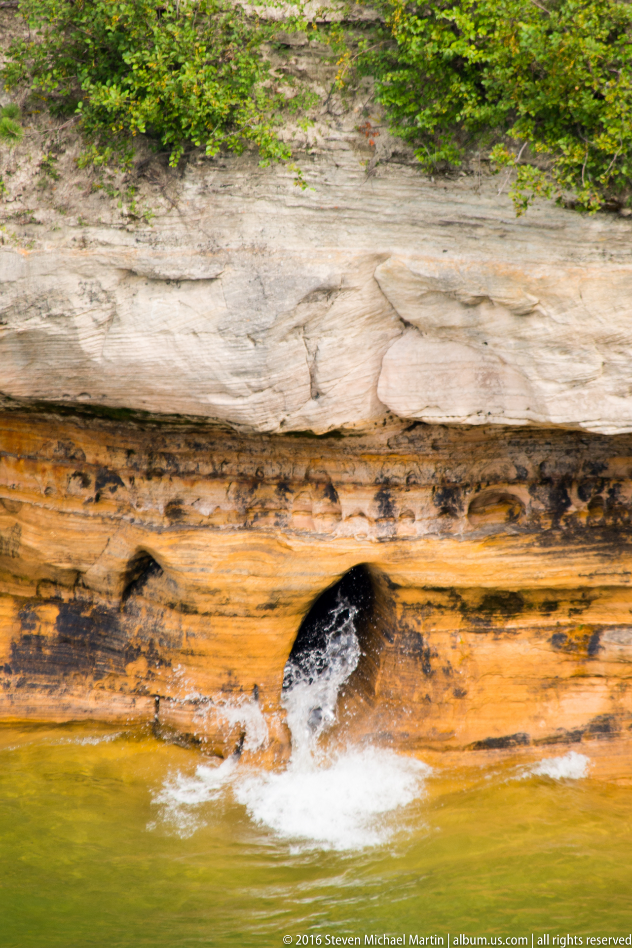
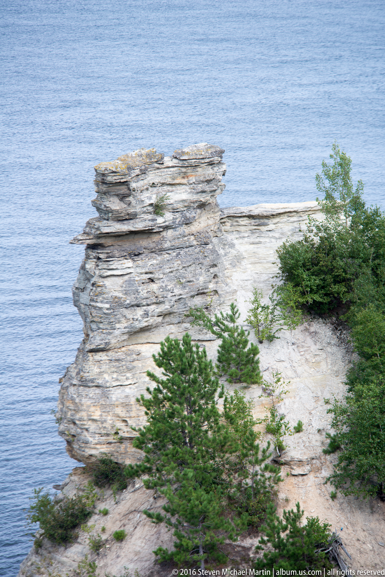
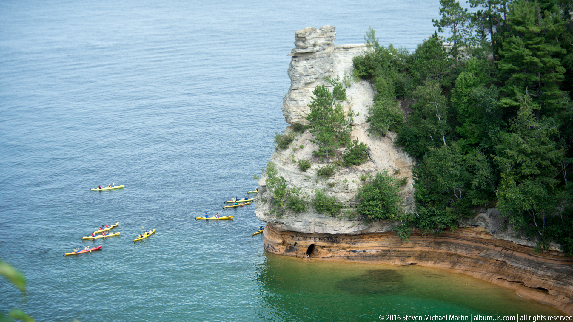
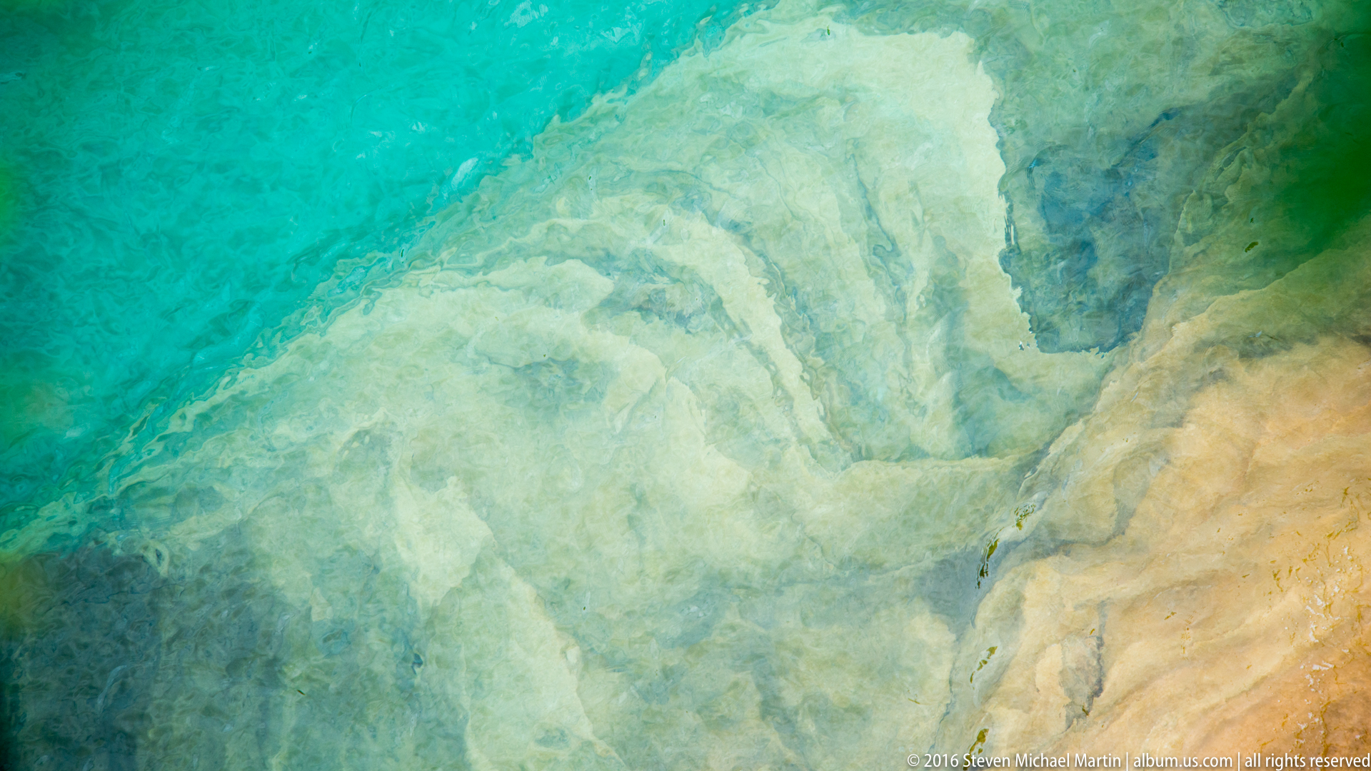
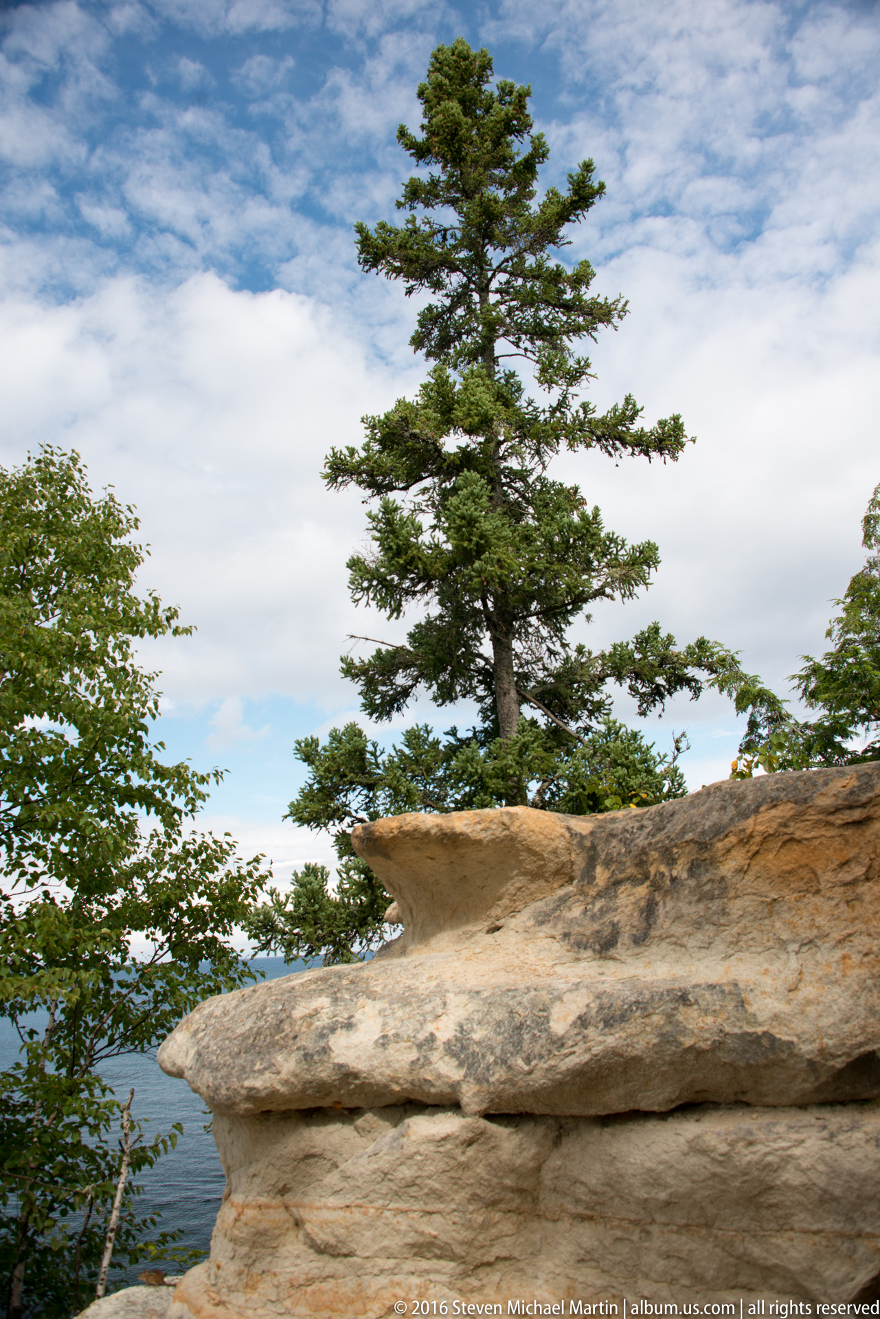
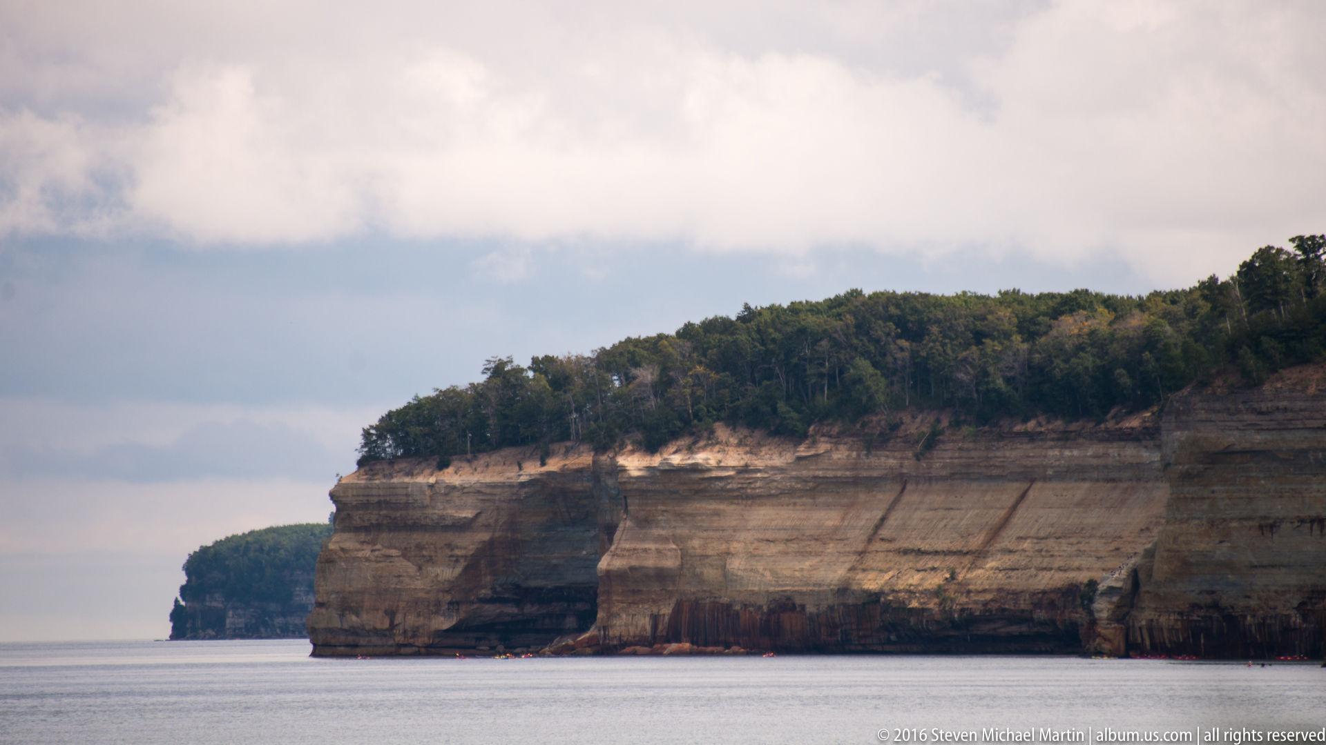
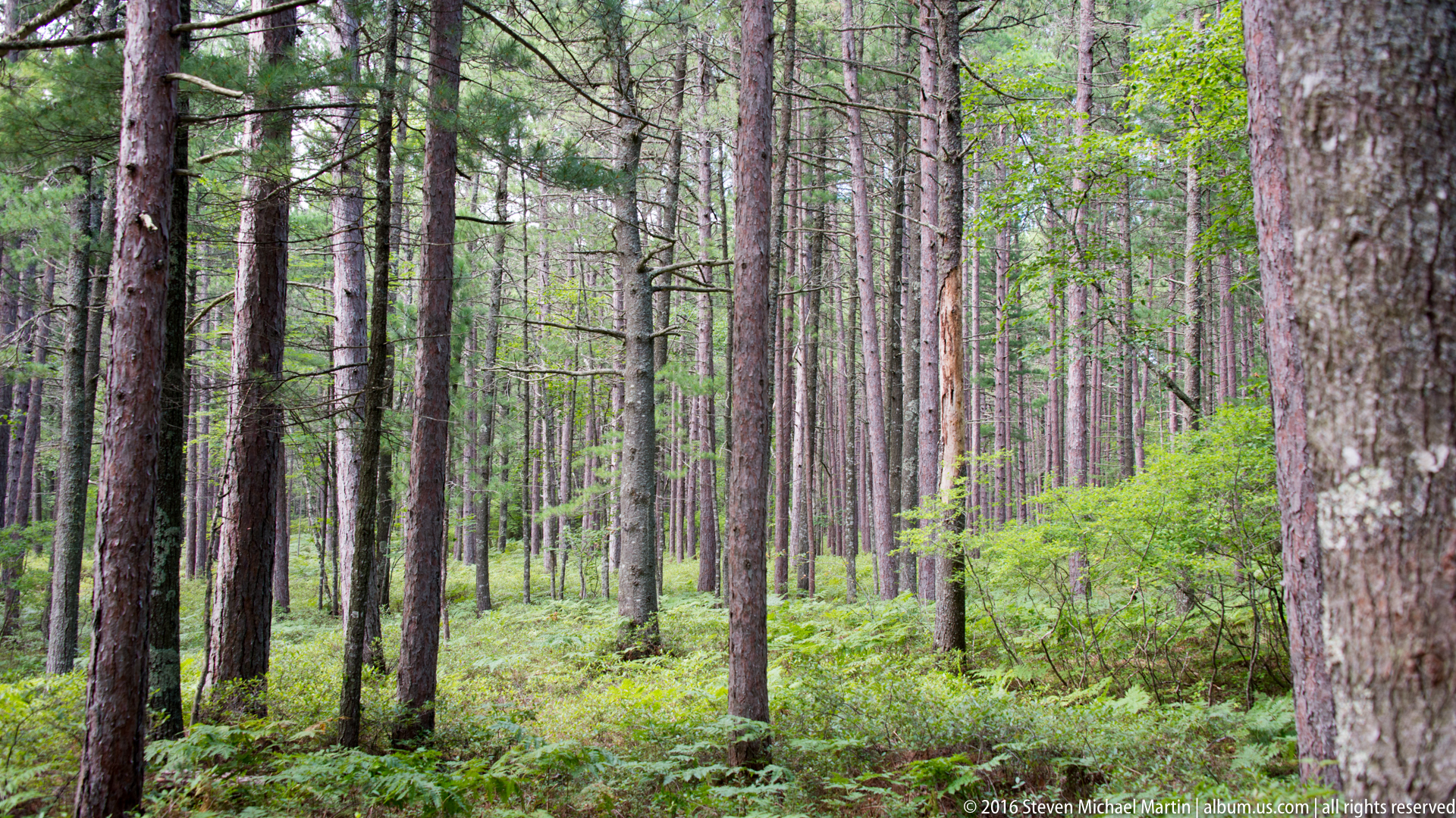
Mineral staining on the sandstone cliffs creates bands of red, orange, green, and black that give the park its name. Wave action, ice movement, and weathering have sculpted the cliffs into arches, caves, and distinctive rock formations rising up to 200 feet above the lake. Inland trails connect forests, dunes, and waterfalls, offering varied perspectives on the landscape.
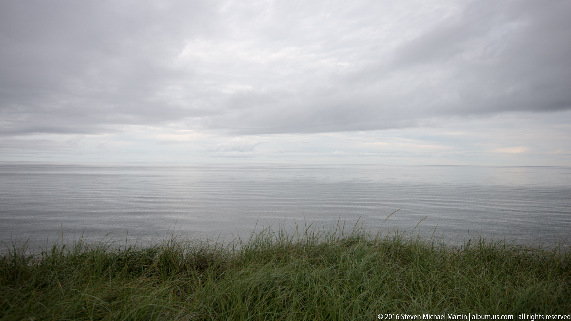
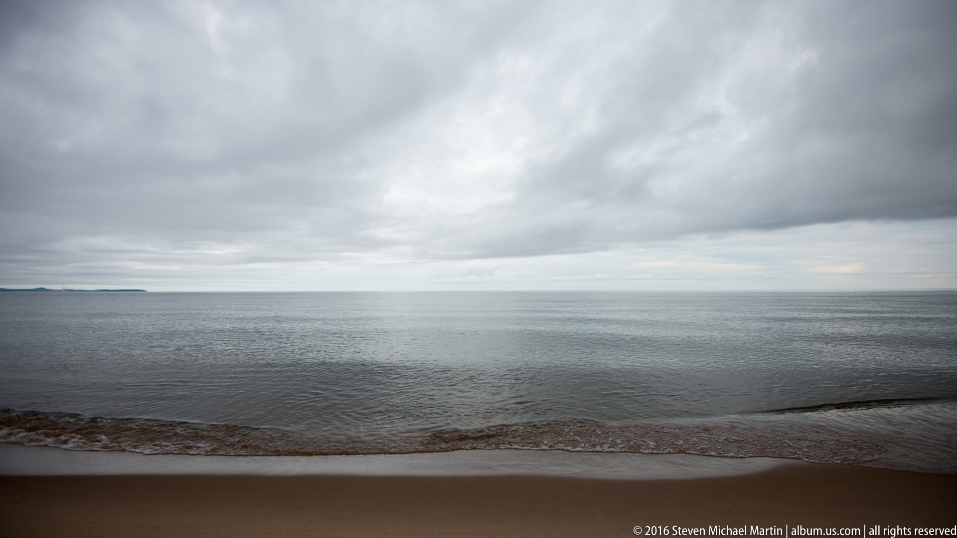
Visitors experience expansive views of Lake Superior and a combination of shoreline and inland environments that highlight the diversity of Great Lakes ecosystems. The scale of the cliffs and changing weather conditions contribute to a landscape characterized by both visual drama and natural complexity.




















Pictured Rocks National Lakeshore — Field Guide
National Lakeshore Field Guide
📍 Overview
Pictured Rocks National Lakeshore preserves a forty-mile stretch of Lake Superior shoreline characterized by colorful sandstone cliffs, waterfalls, beaches, and forested interior landscapes. Established in 1966 as the first national lakeshore in the United States, the park protects geological formations shaped by glacial processes and long-term shoreline erosion. The mineral composition of the sandstone creates distinctive color patterns across the cliff faces.
Wave action, winter ice, and weathering continue to sculpt arches, caves, and rock formations rising above Lake Superior. Inland trails connect forests, dunes, and inland lakes that illustrate the ecological diversity of the Great Lakes region. The park demonstrates the influence of geological processes on landscape formation and coastal ecosystems.
⭐ Highlights
- Colorful sandstone cliffs rising above Lake Superior
- Arches, caves, and rock formations shaped by erosion
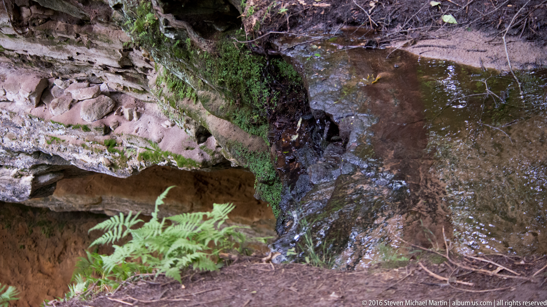
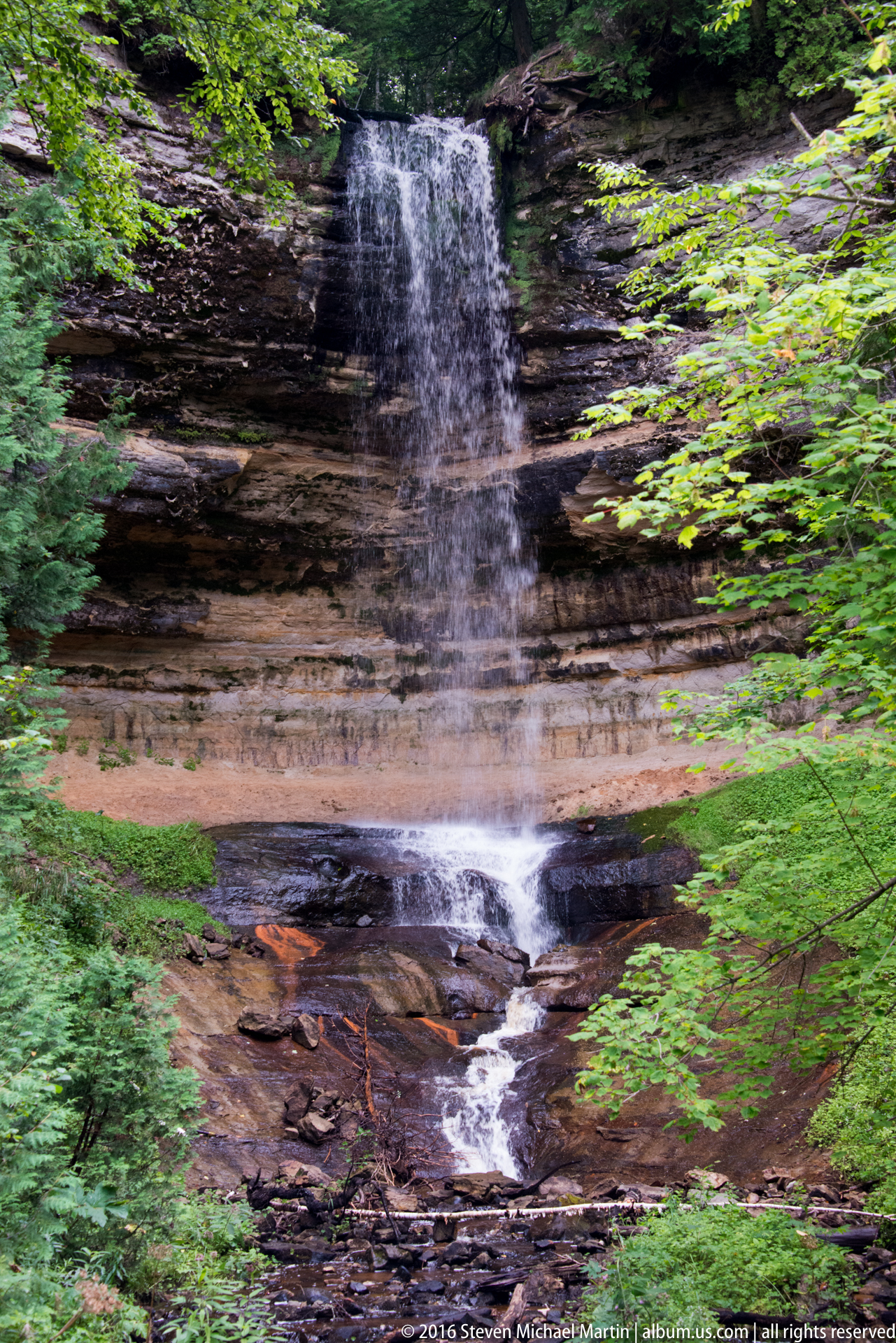
- Waterfalls flowing over sandstone formations
- Forty miles of protected Great Lakes shoreline
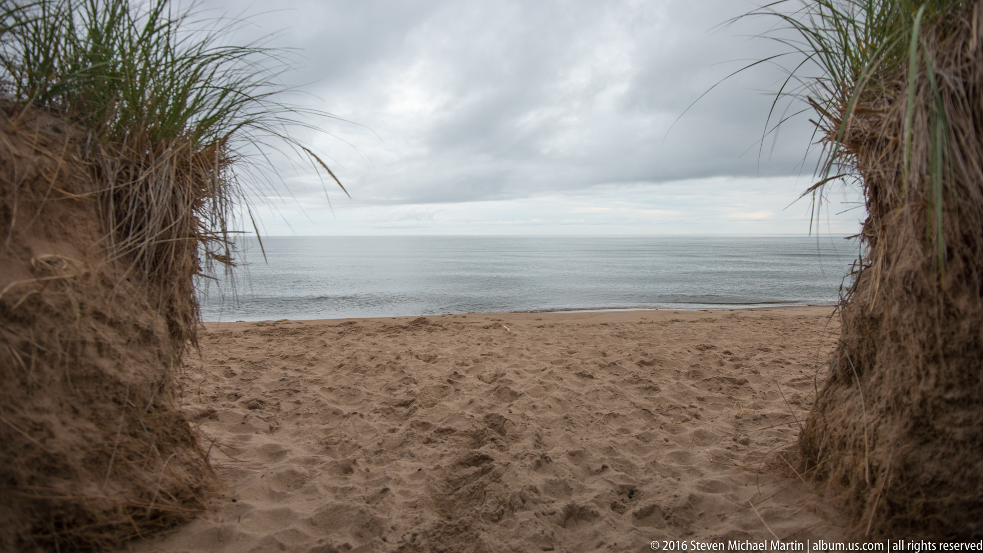
- Forested interior landscapes and dune environments
🔎 Key Features
- Mineral-stained sandstone cliffs
- Coastal geology shaped by glacial processes
- Trail access to overlooks and waterfalls
- Lake Superior shoreline environments
- Interaction between water, rock, and forest ecosystems
📷 Photography Notes
- Boat or shoreline viewpoints emphasize cliff colors
- Cloud cover can enhance color contrast on sandstone
- Wide compositions capture scale of the shoreline
- Morning and evening light often produces softer tones
- Foreground elements help convey depth
- Weather changes can add atmosphere to lake scenes