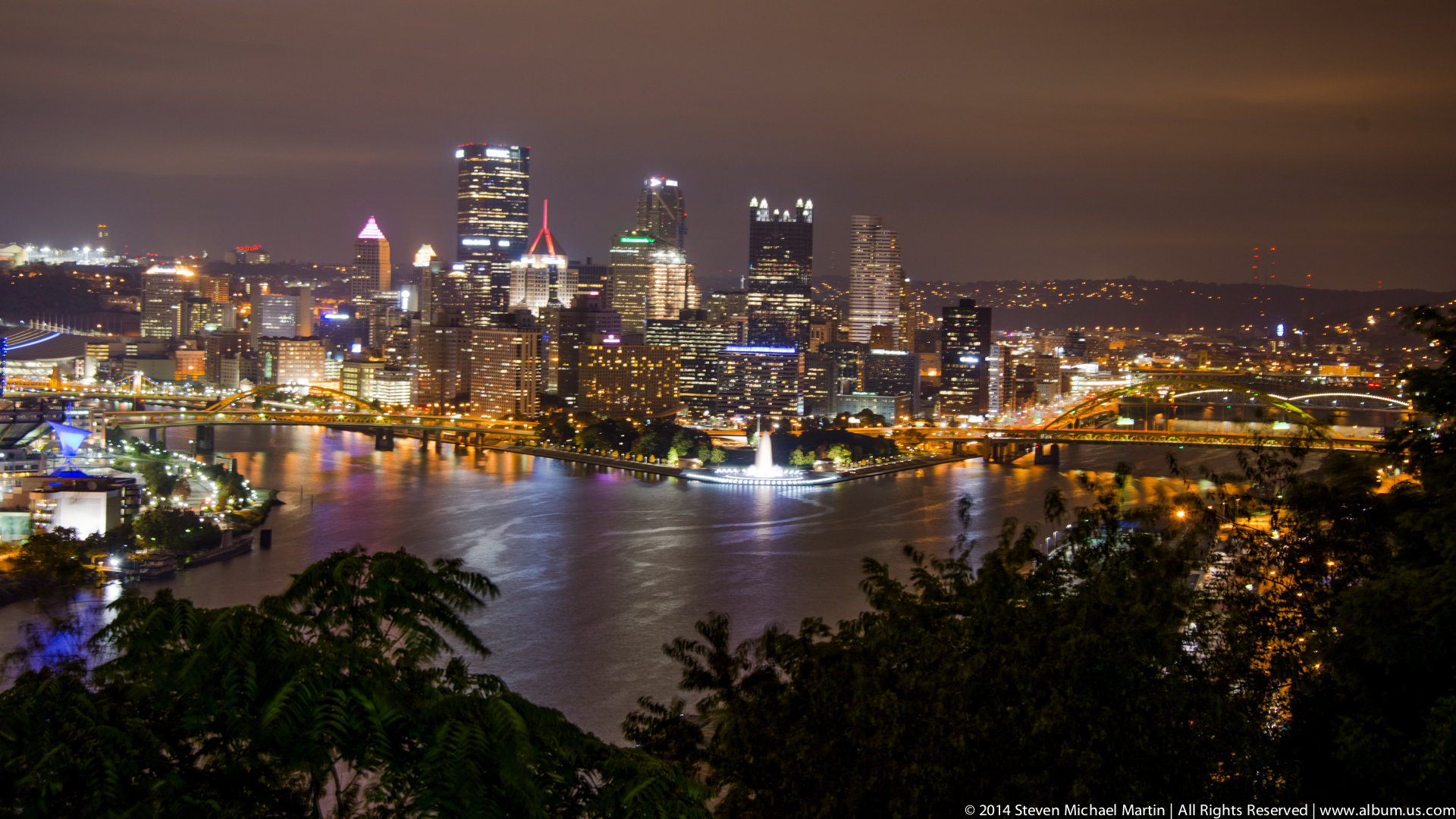
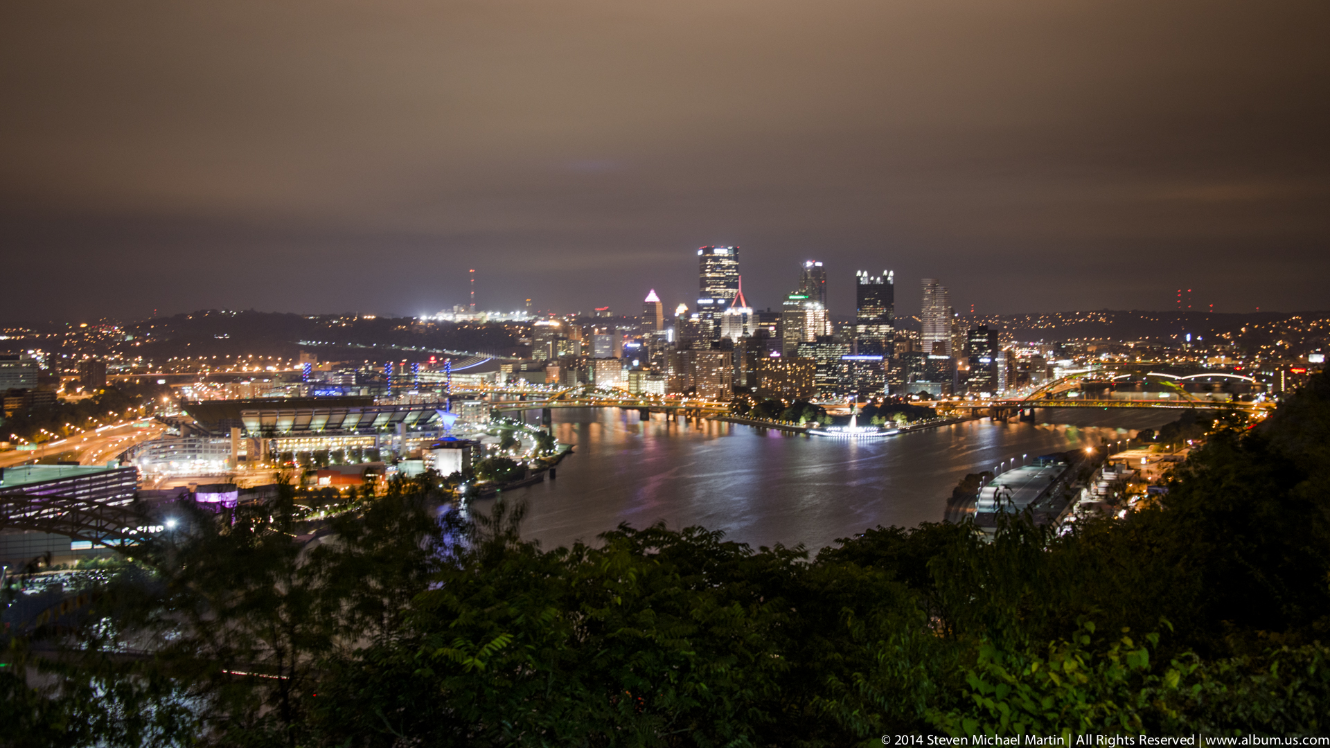
Pittsburgh at Night
Pittsburgh developed as one of the principal industrial cities of the United States, located at the confluence of the Allegheny, Monongahela, and Ohio Rivers where access to water transportation and natural resources supported manufacturing growth. The city became especially associated with iron and steel production during the nineteenth and early twentieth centuries, contributing significantly to the expansion of railroads, bridges, and urban infrastructure across the country. The surrounding hills and river valleys created a distinctive urban landscape shaped by both geography and industrial activity.
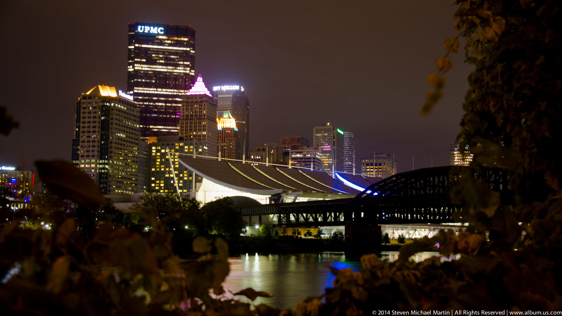
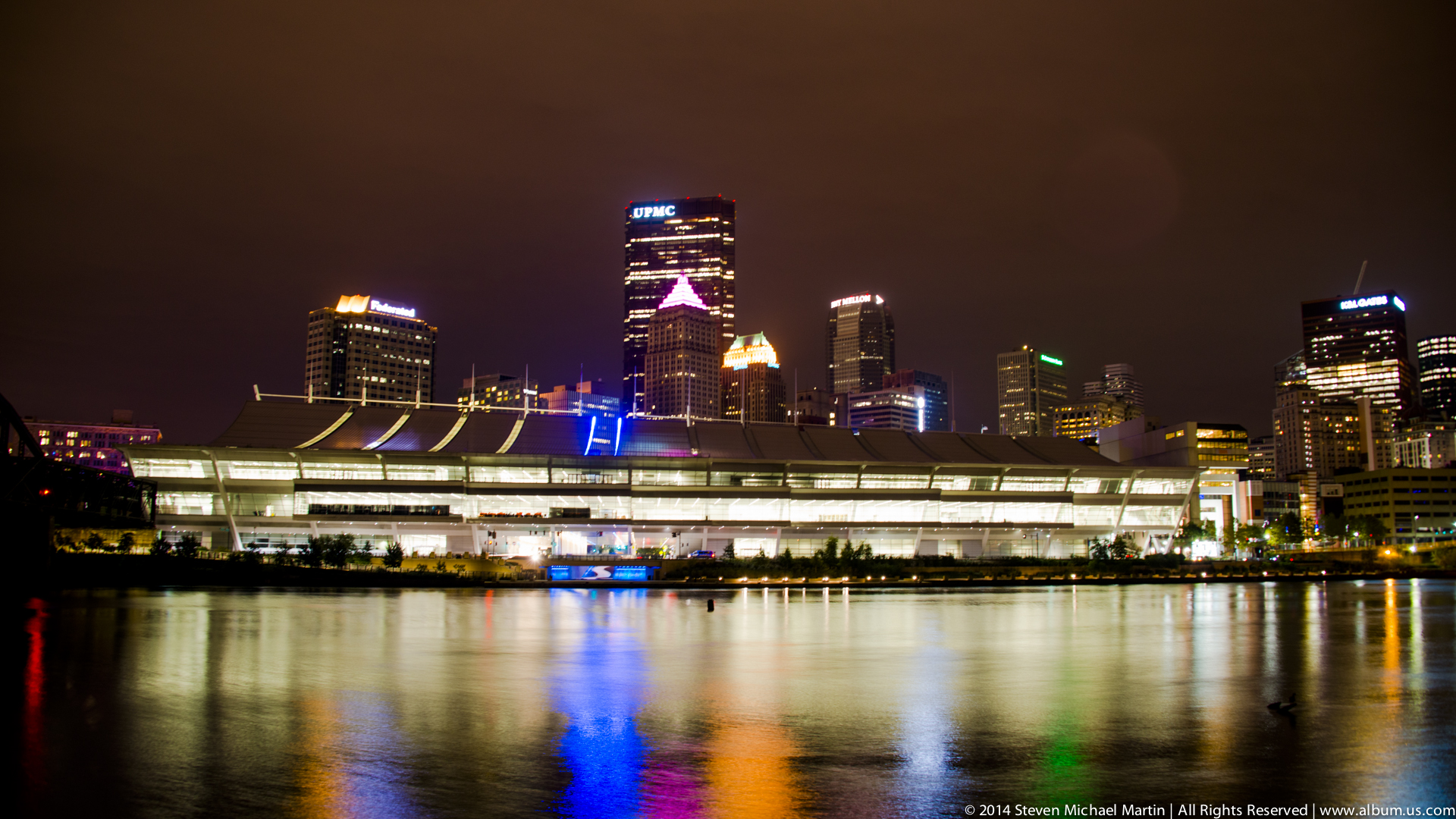
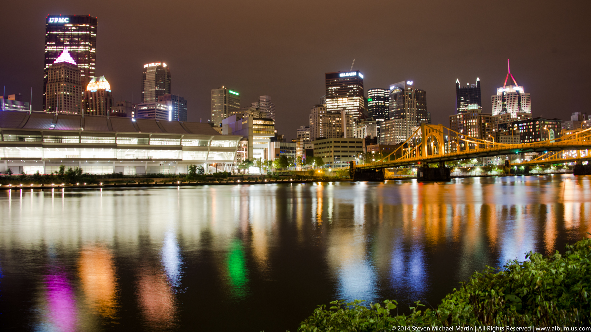
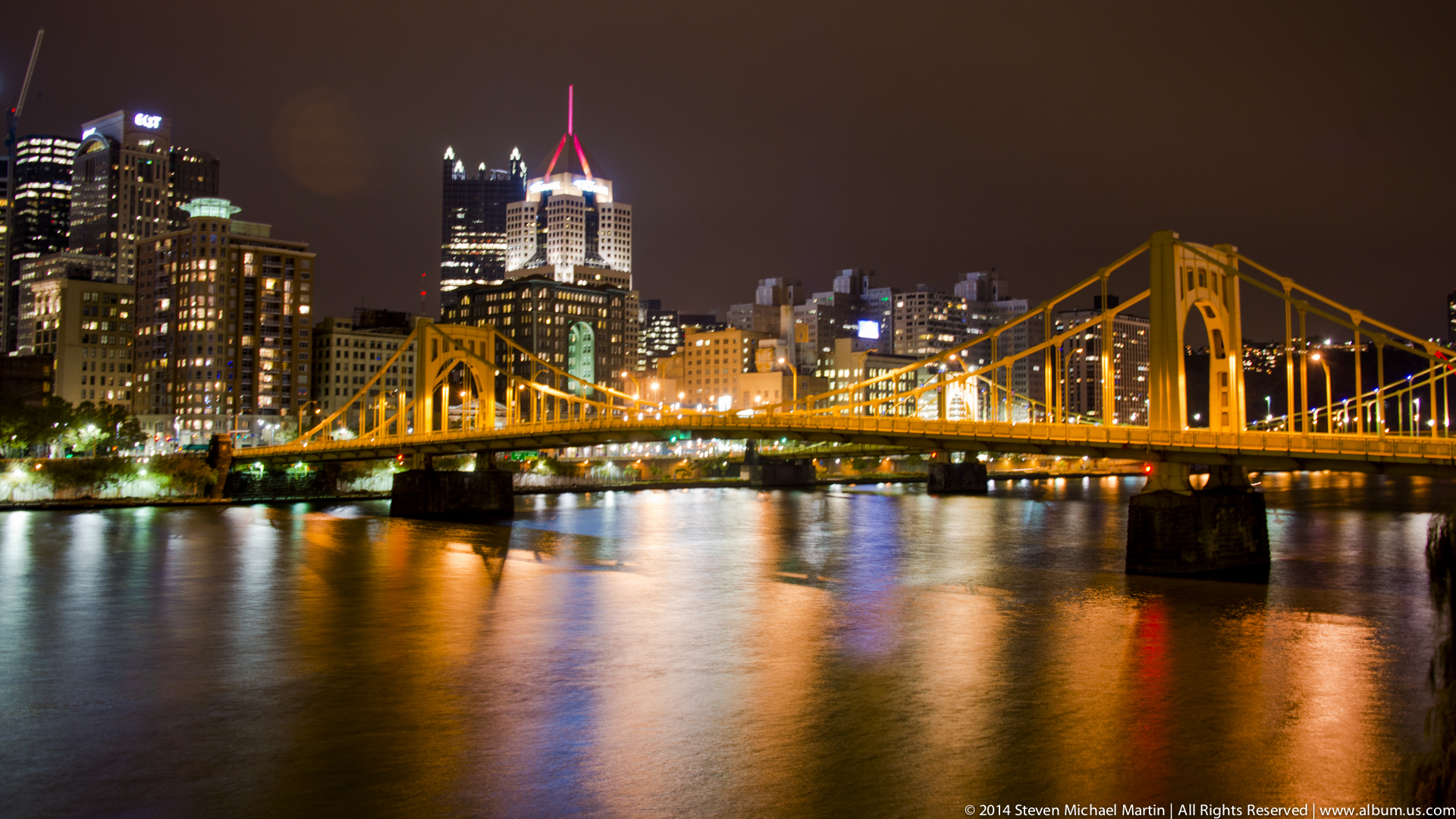
Nighttime views of Pittsburgh reveal the relationship between topography, transportation corridors, and architectural development that define the city’s skyline. Bridges spanning the rivers form visual connections between neighborhoods built on steep terrain, while illuminated buildings emphasize the vertical character of the downtown district. The transformation of former industrial areas into cultural and commercial centers reflects broader economic changes that reshaped many American manufacturing cities during the late twentieth century.
Pittsburgh contributes to understanding the evolution of industrial cities as they adapted to changing economic conditions and new patterns of urban development. The city’s geography illustrates how river systems influenced transportation, settlement, and economic specialization. Observing the urban landscape at night highlights the continuity between historic industrial infrastructure and contemporary architectural identity.