Whiting Bay and Raft Cove Road
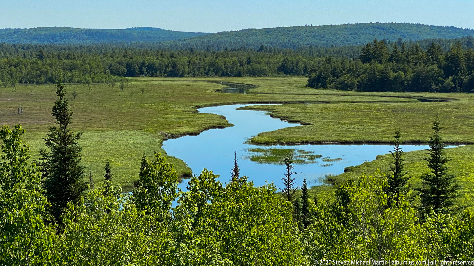
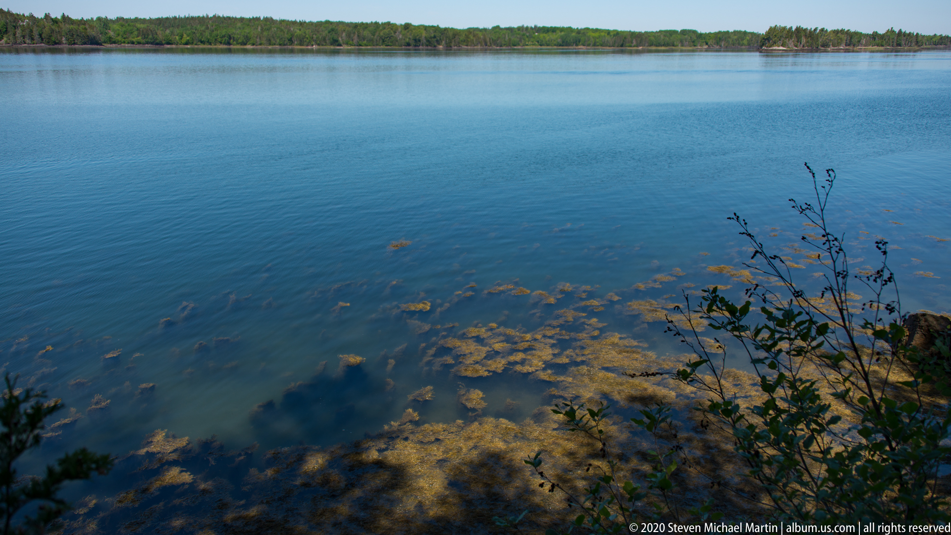
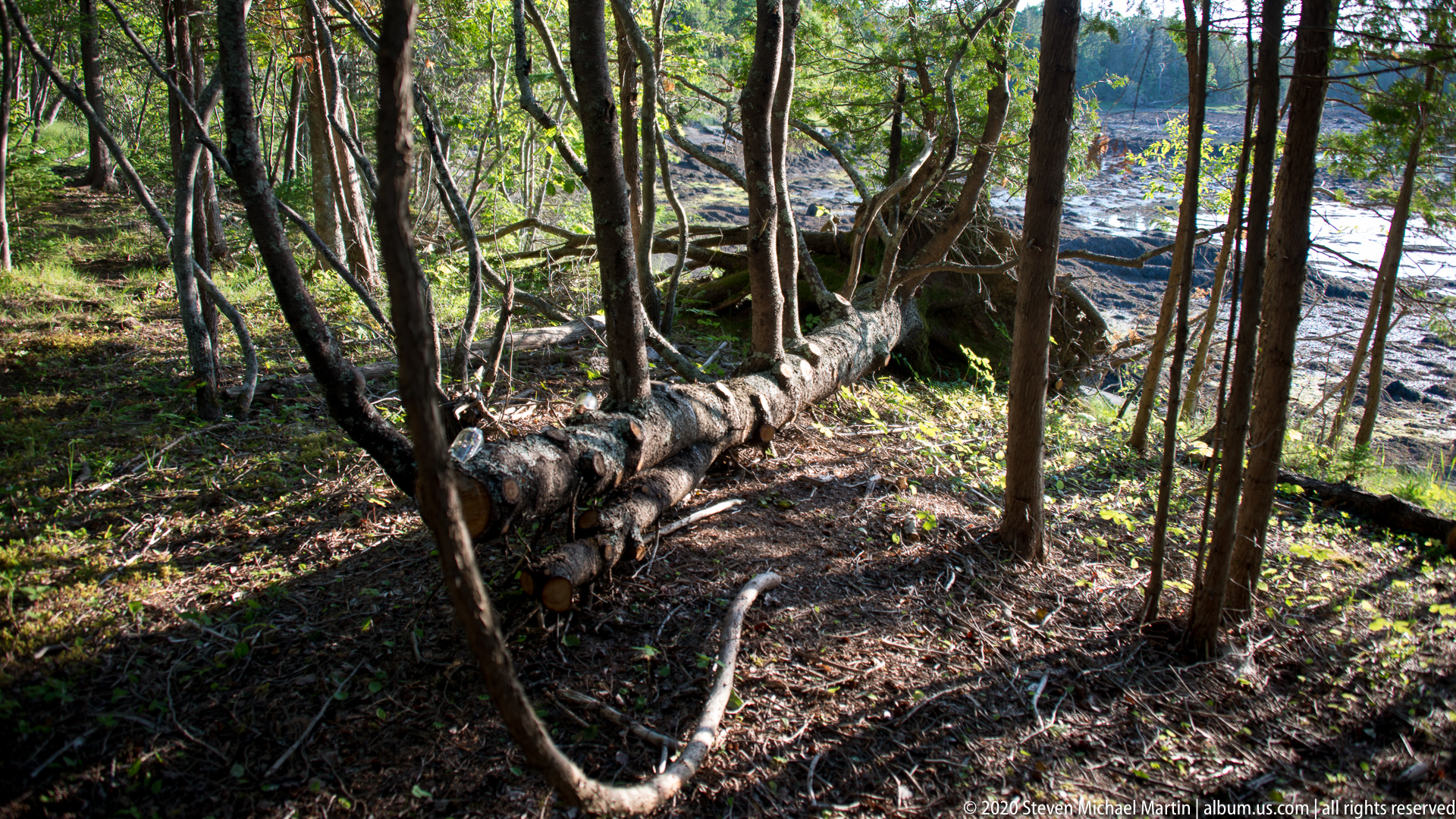
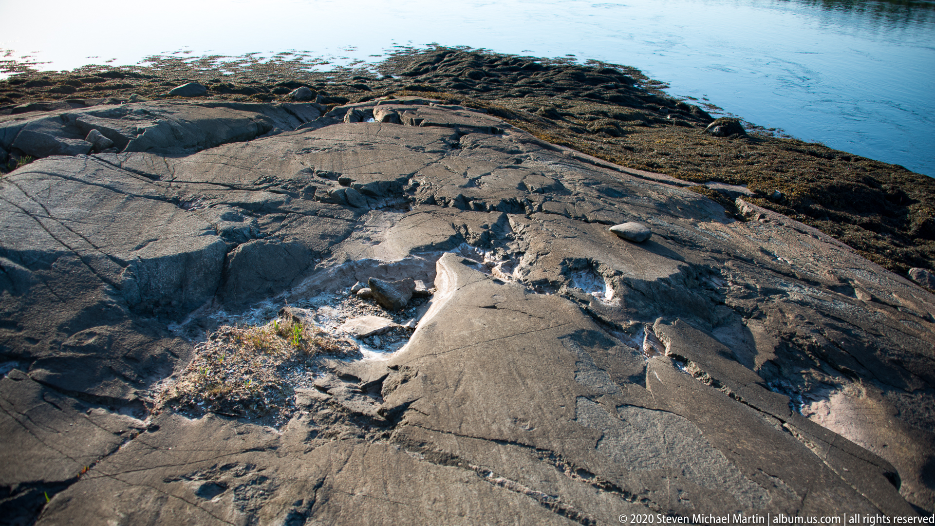
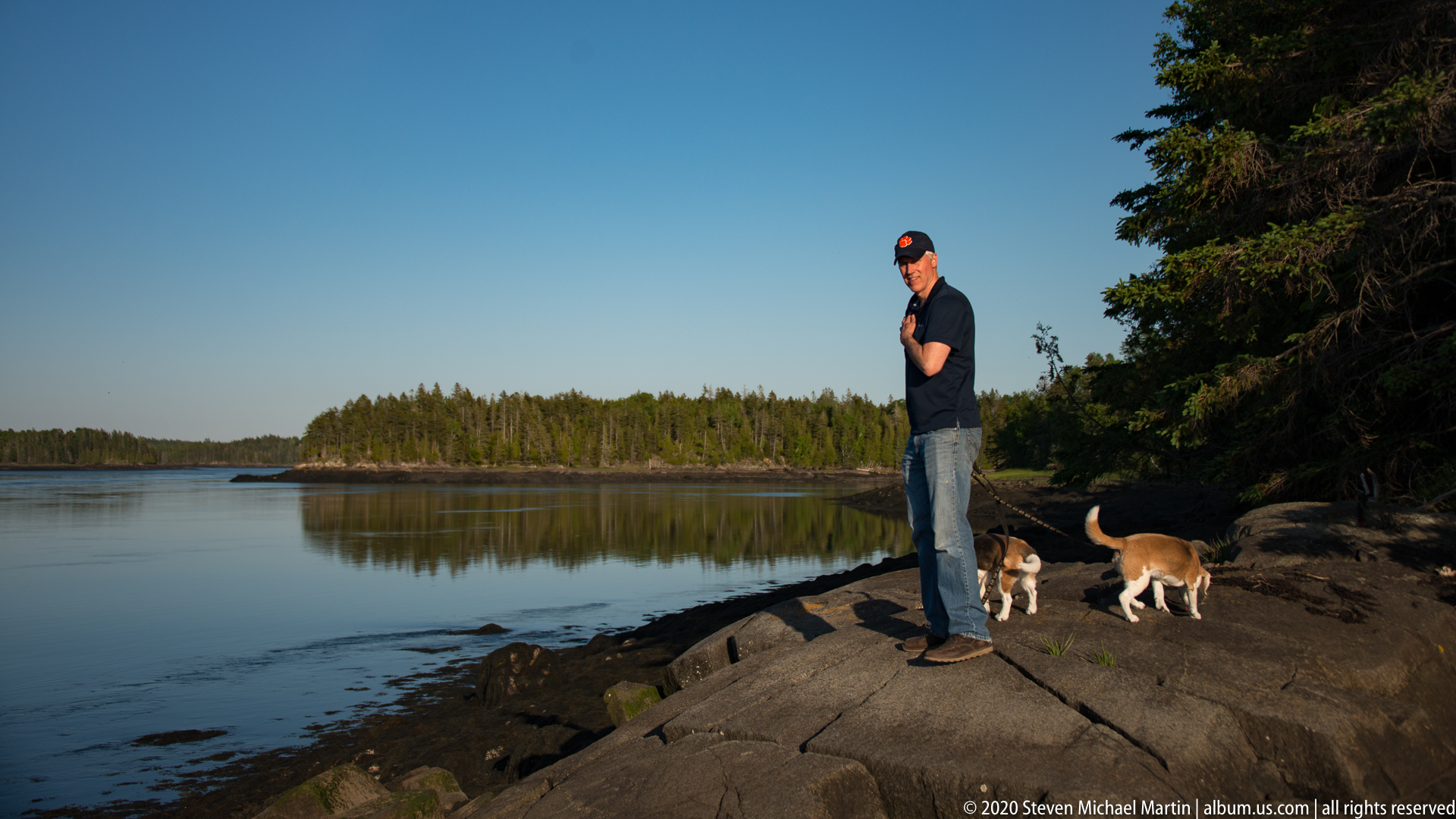
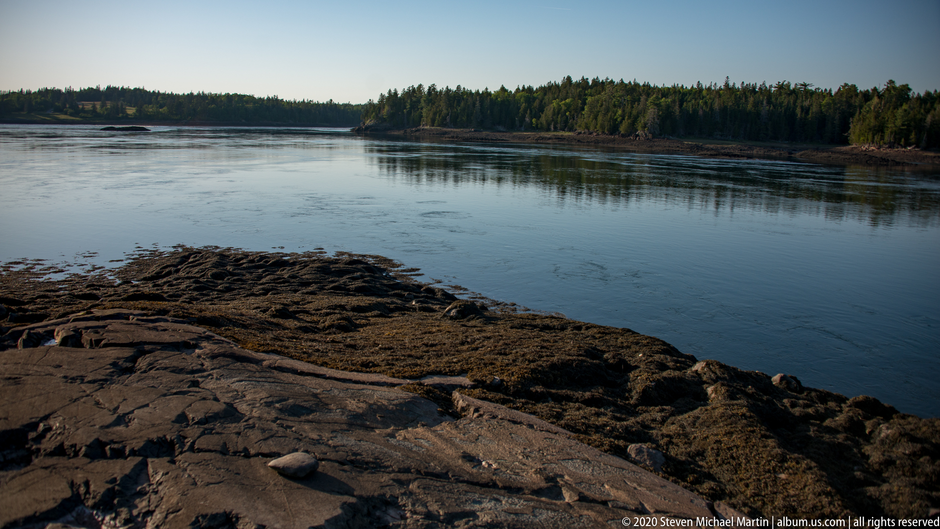
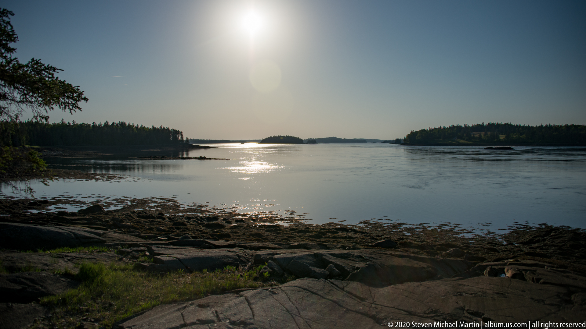
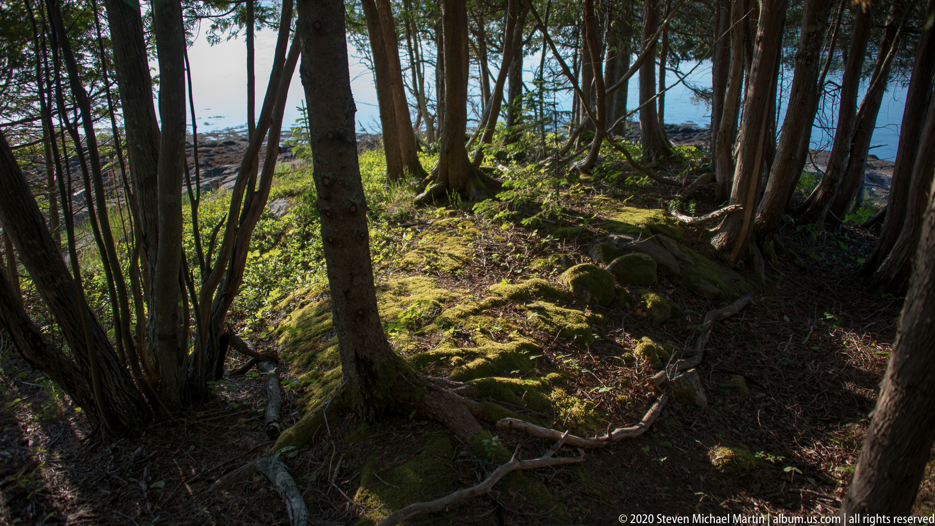
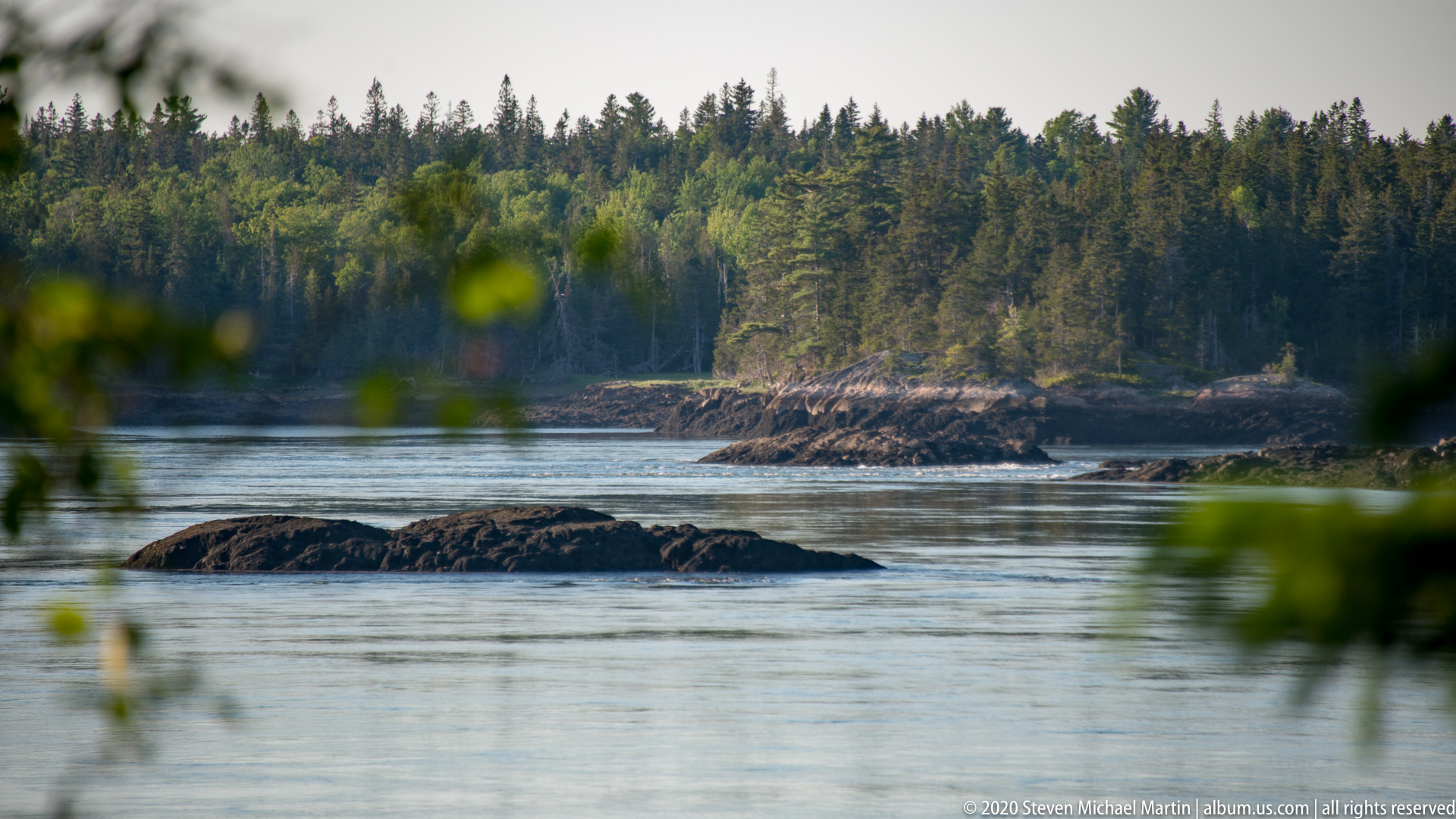
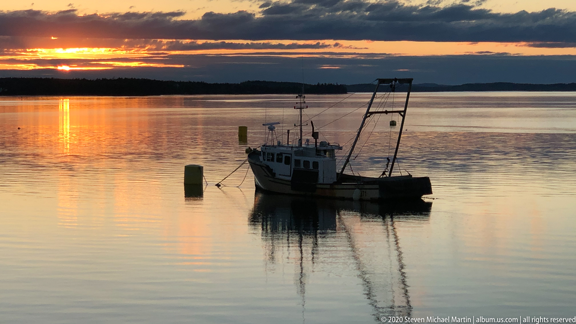
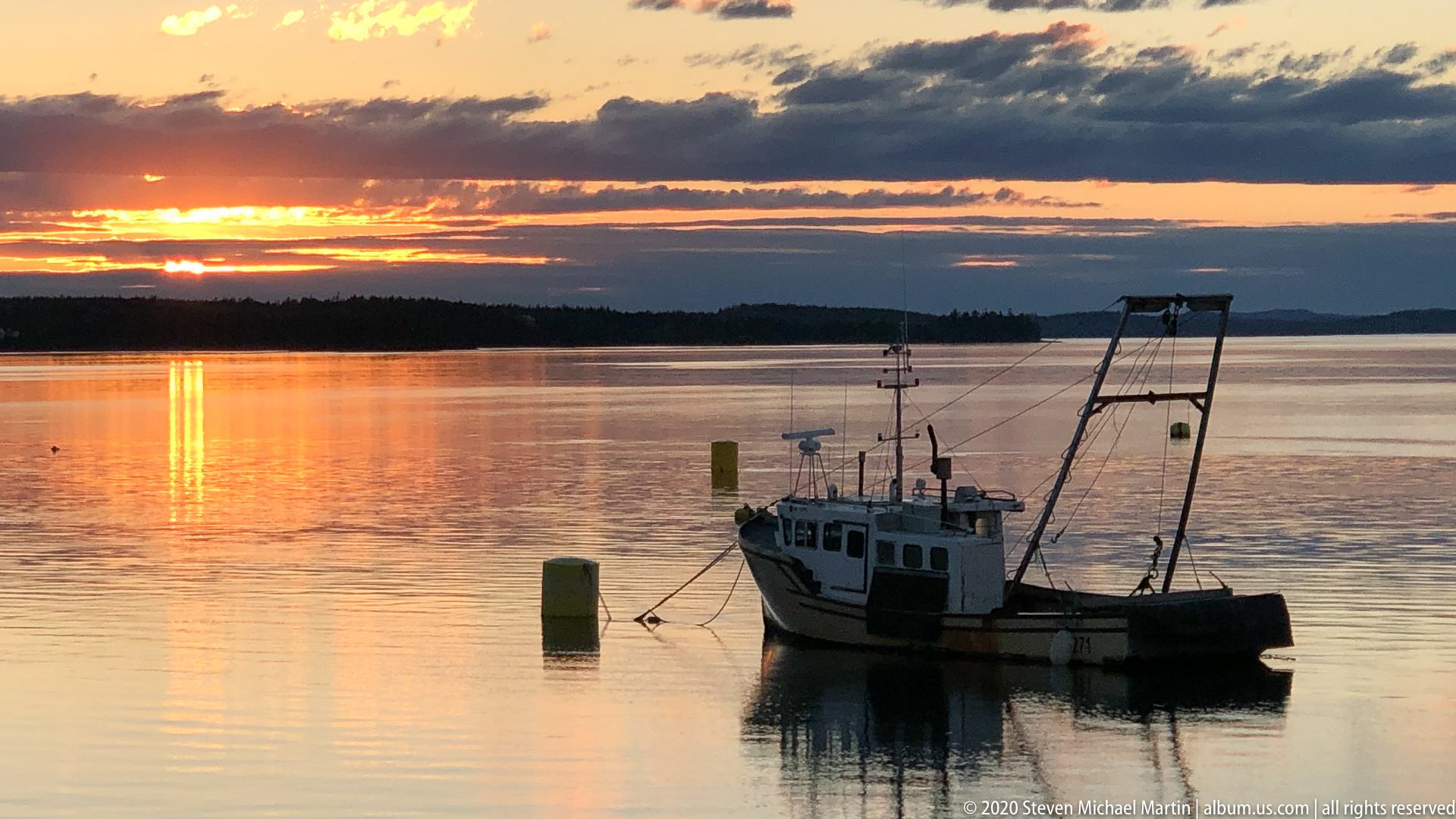
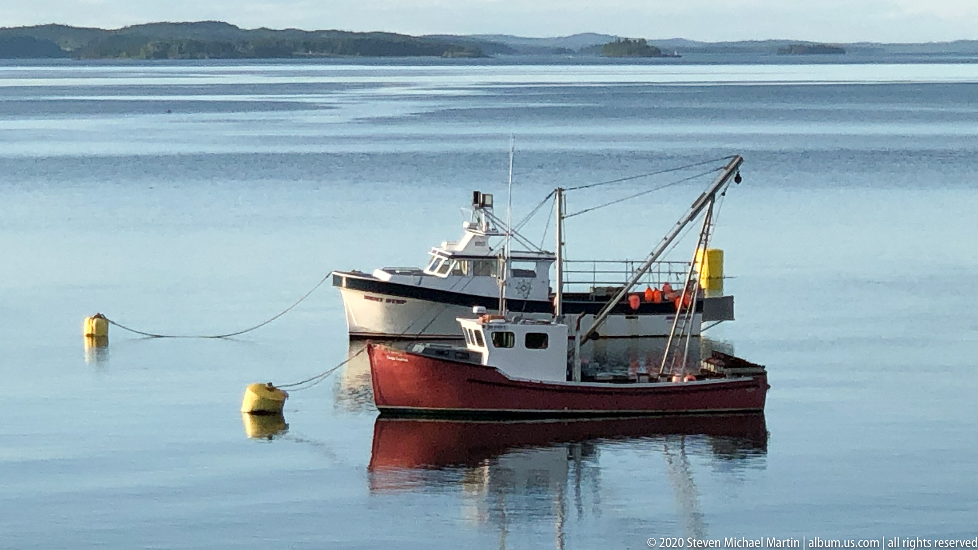
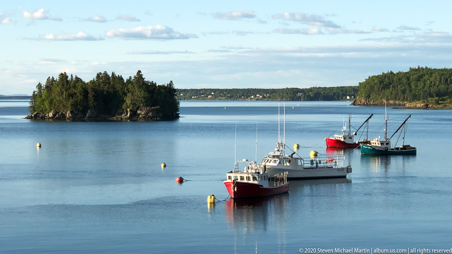
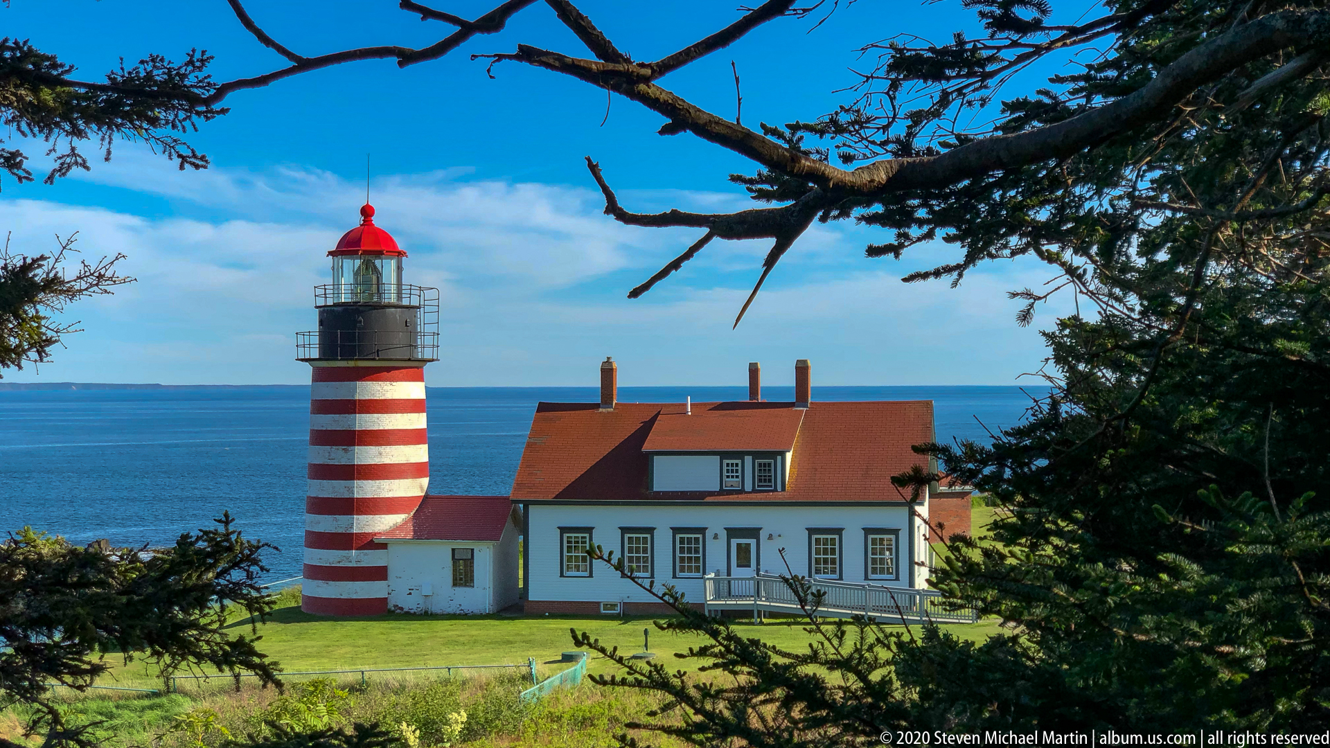
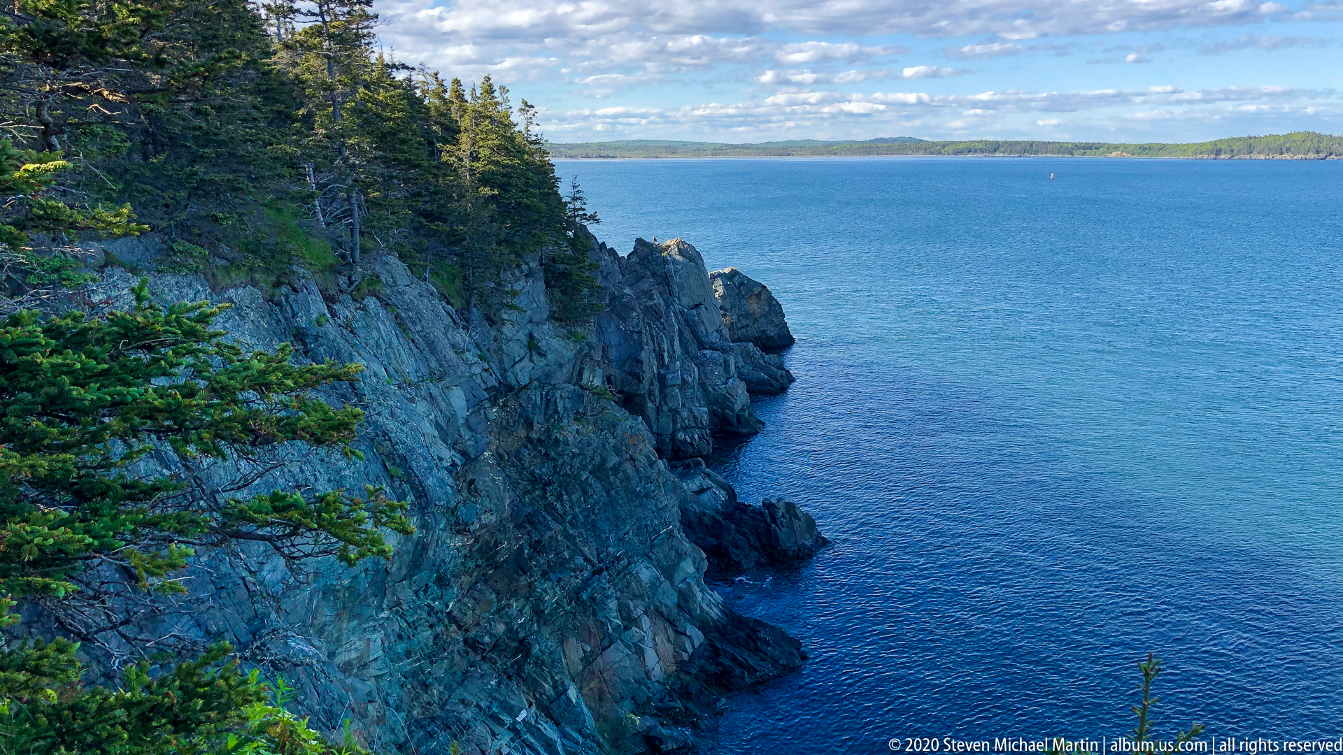
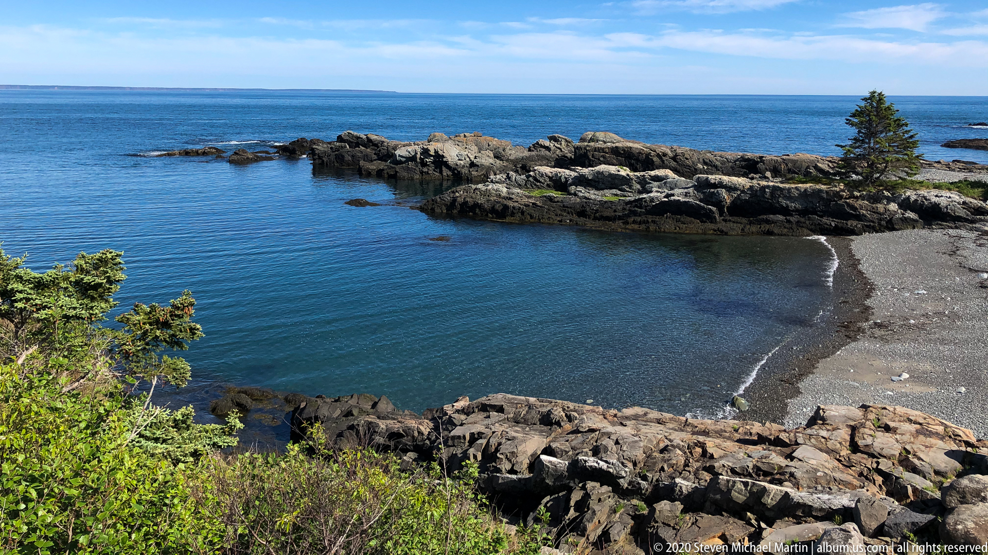
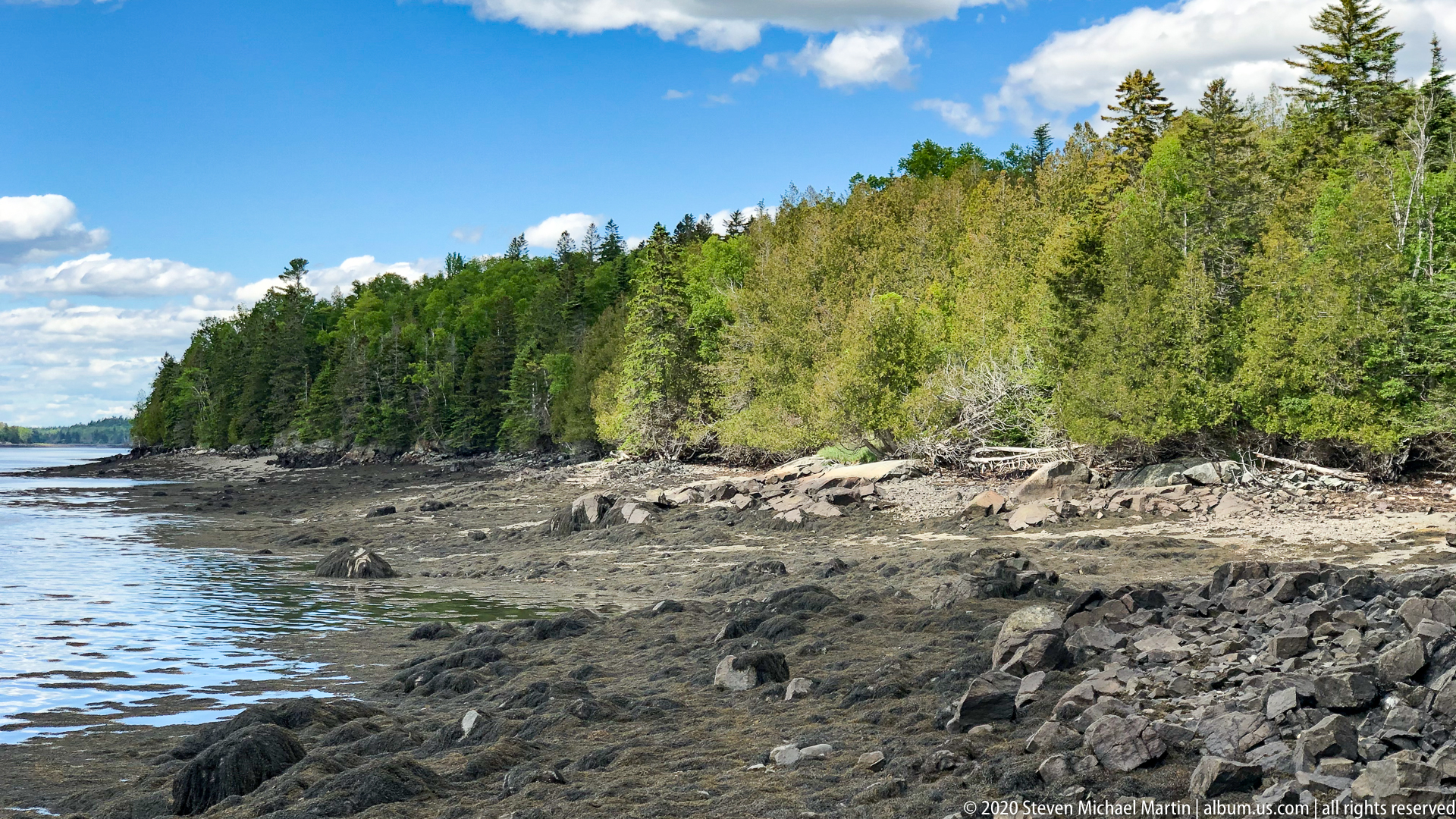
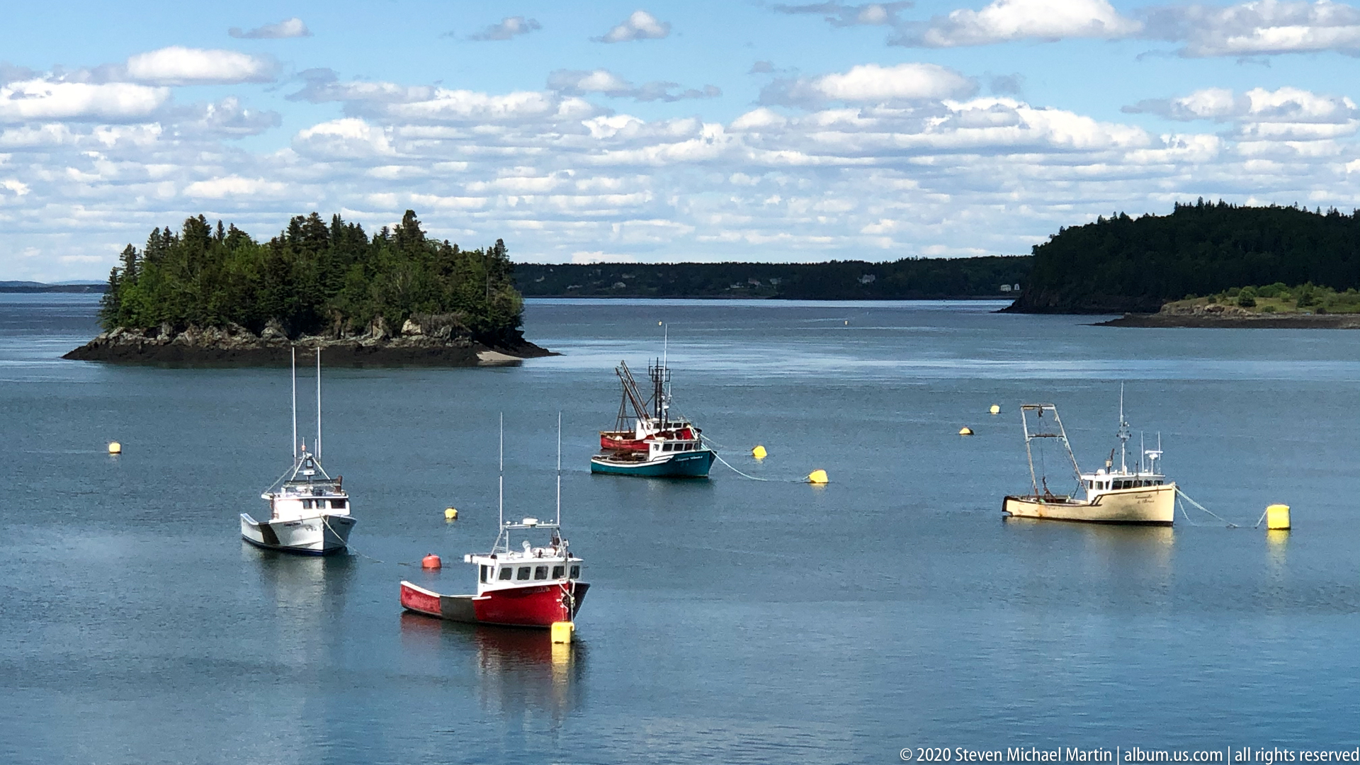
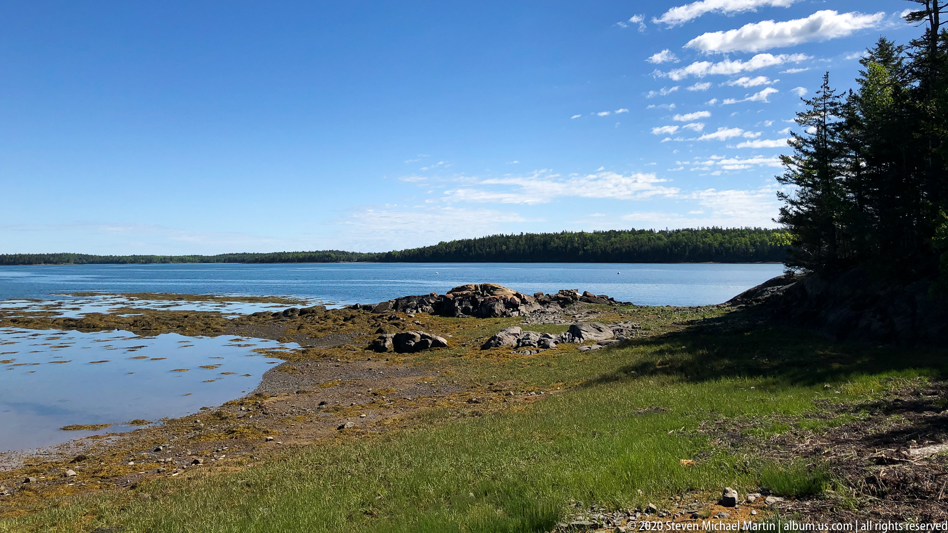
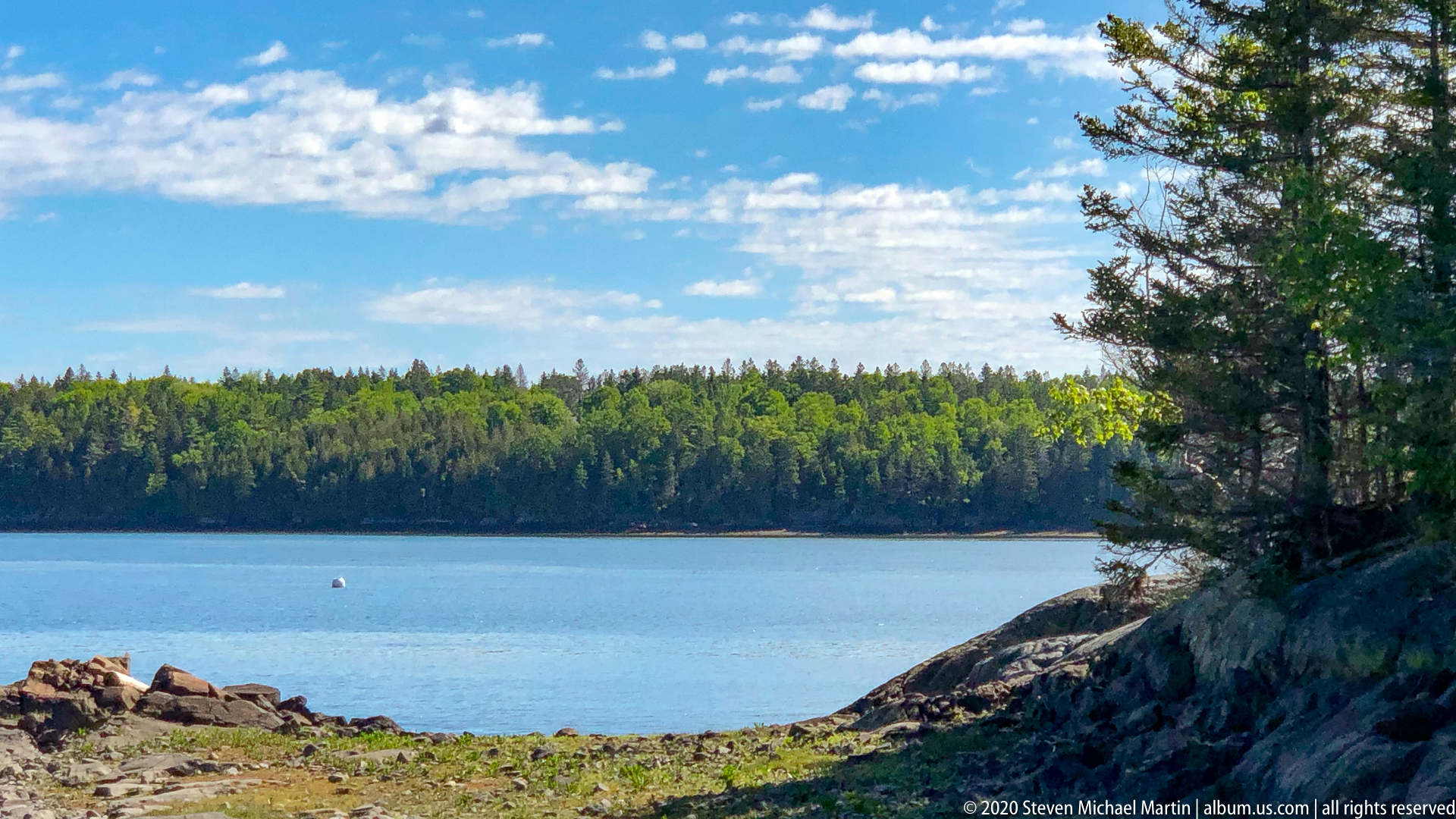
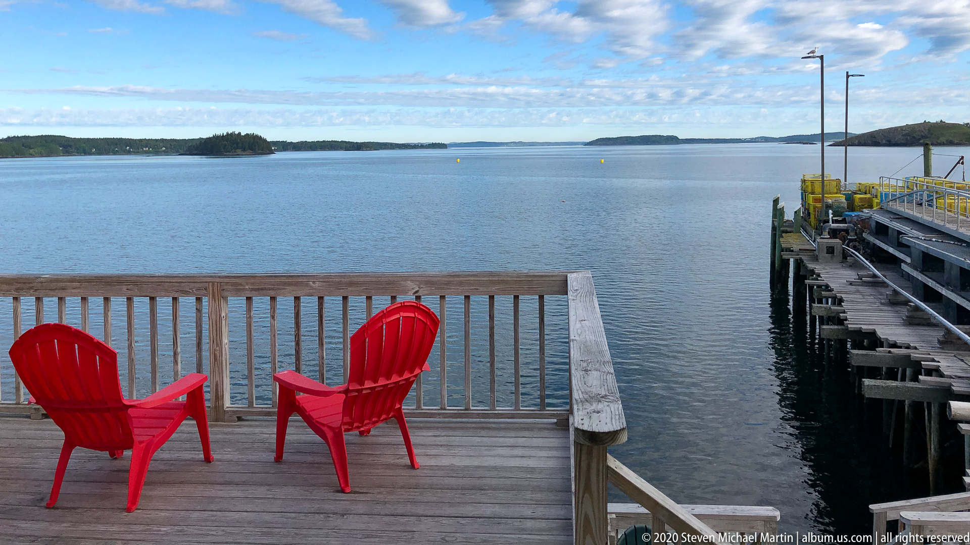
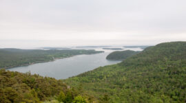
Whiting Bay lies along the complex tidal shoreline of eastern Maine near Cobscook Bay, where powerful currents associated with the Bay of Fundy produce some of the highest tidal ranges in North America. The coastline reflects glacially shaped terrain characterized by rocky coves, forested uplands, and sheltered inlets that historically supported fishing and small maritime communities. The surrounding landscape illustrates the environmental character of the Down East region, where remote coastal settings remain closely connected to natural cycles of tide, weather, and seasonal change.
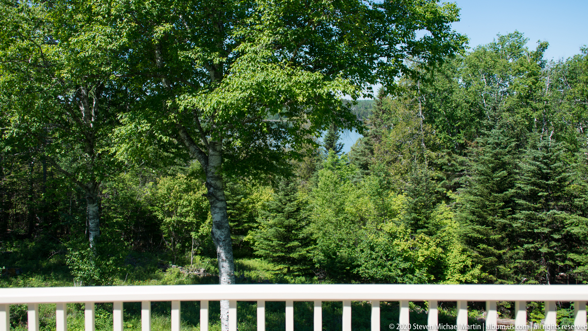
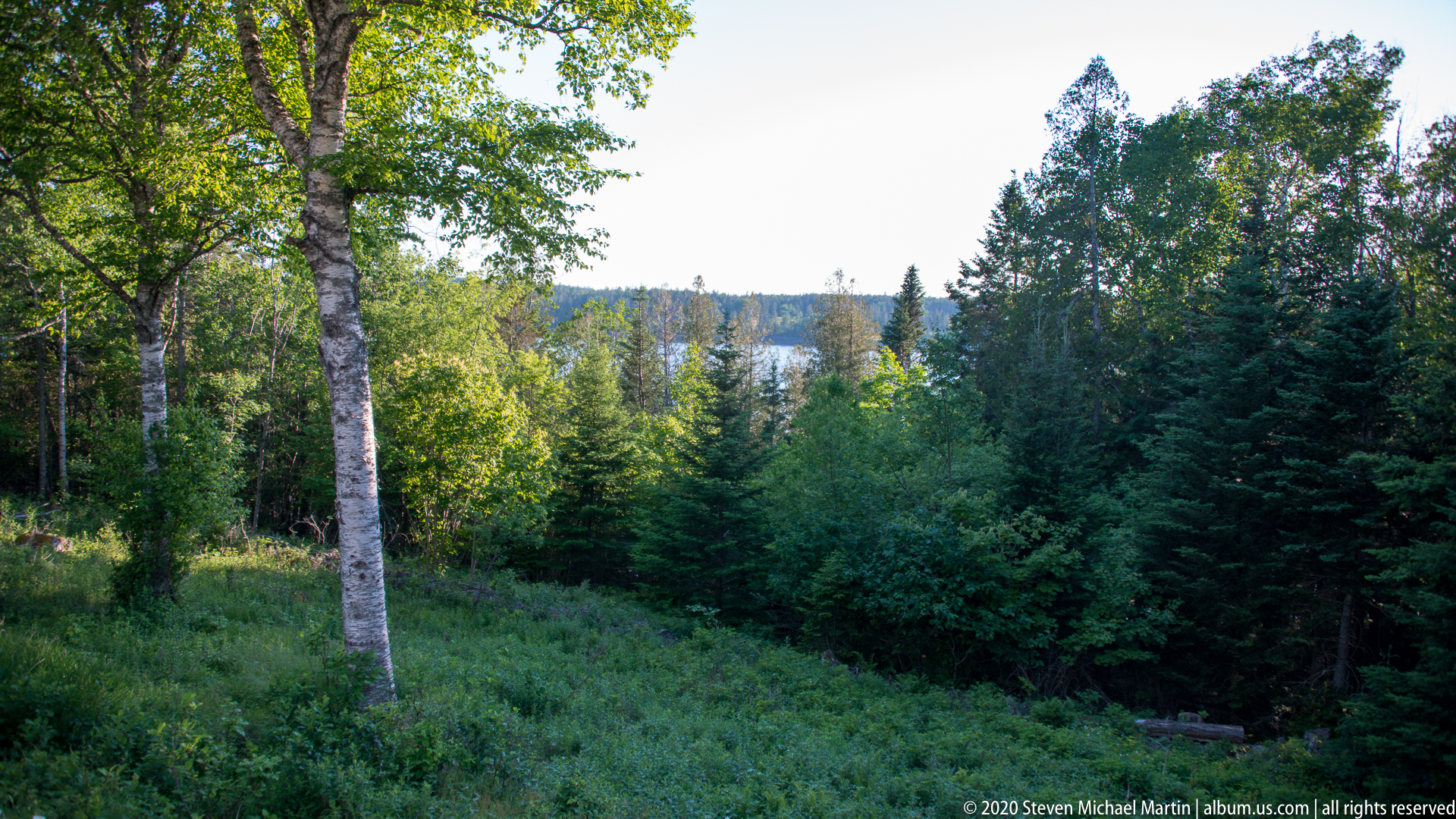
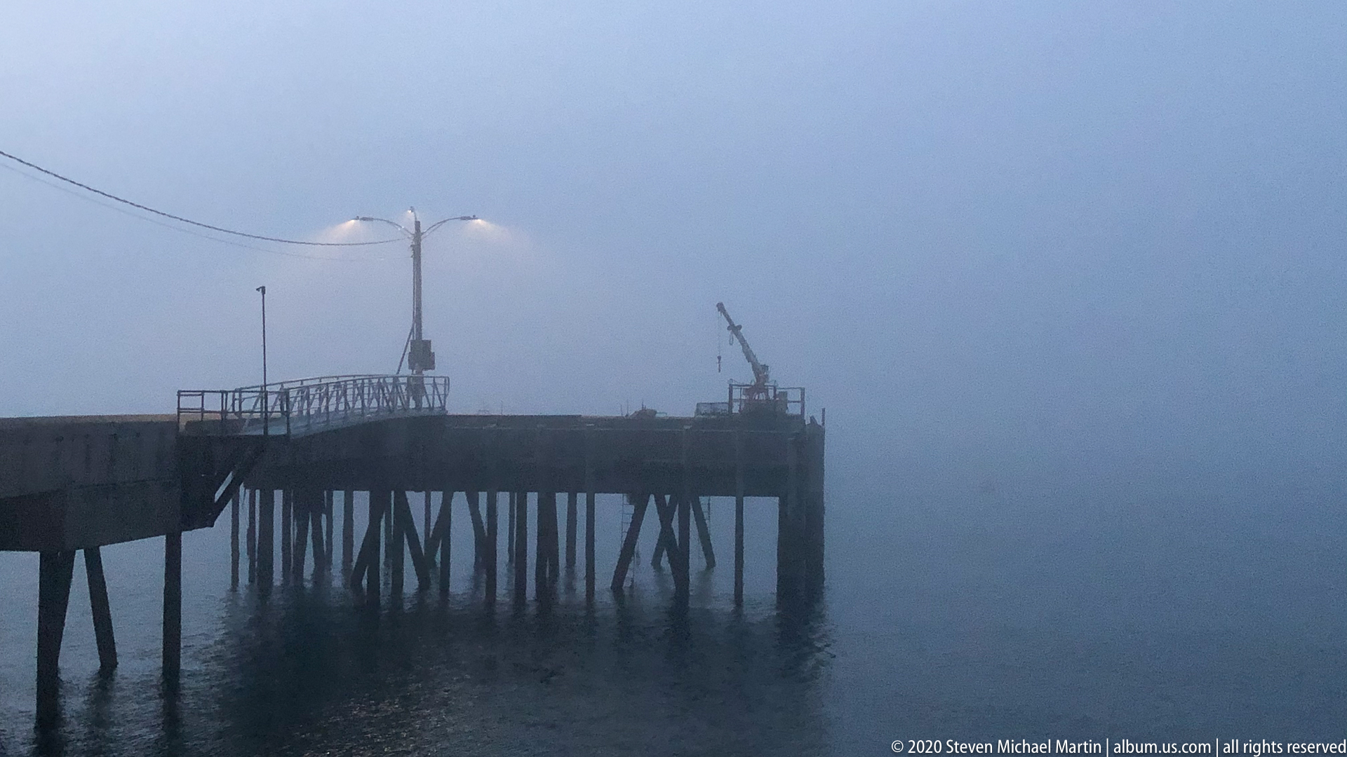
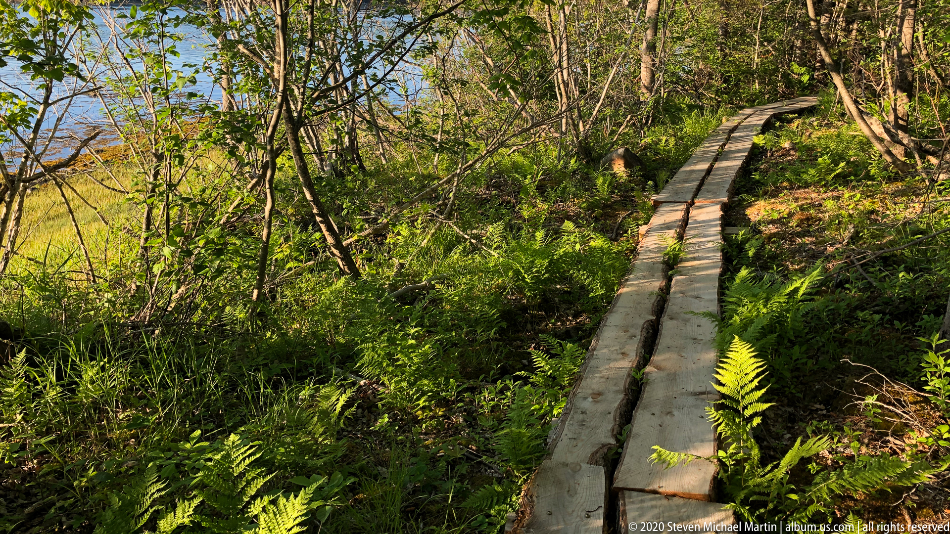
Coastal roads along Whiting Bay provide access to quiet harbors, wooded shoreline, and open views across Passamaquoddy Bay toward the Canadian Maritimes. Communities in this region developed through maritime trade, small-scale agriculture, and resource harvesting associated with timber and fisheries. The coastal environment supports diverse marine ecosystems influenced by tidal exchange, nutrient flow, and cool North Atlantic waters.
Whiting Bay contributes to understanding how remote coastal environments continue to shape cultural identity and patterns of settlement in northeastern Maine. The landscape illustrates continuity between historic maritime traditions and present-day appreciation for coastal scenery. Its quiet shoreline reflects the broader environmental setting of Down East Maine and the Gulf of Maine region.