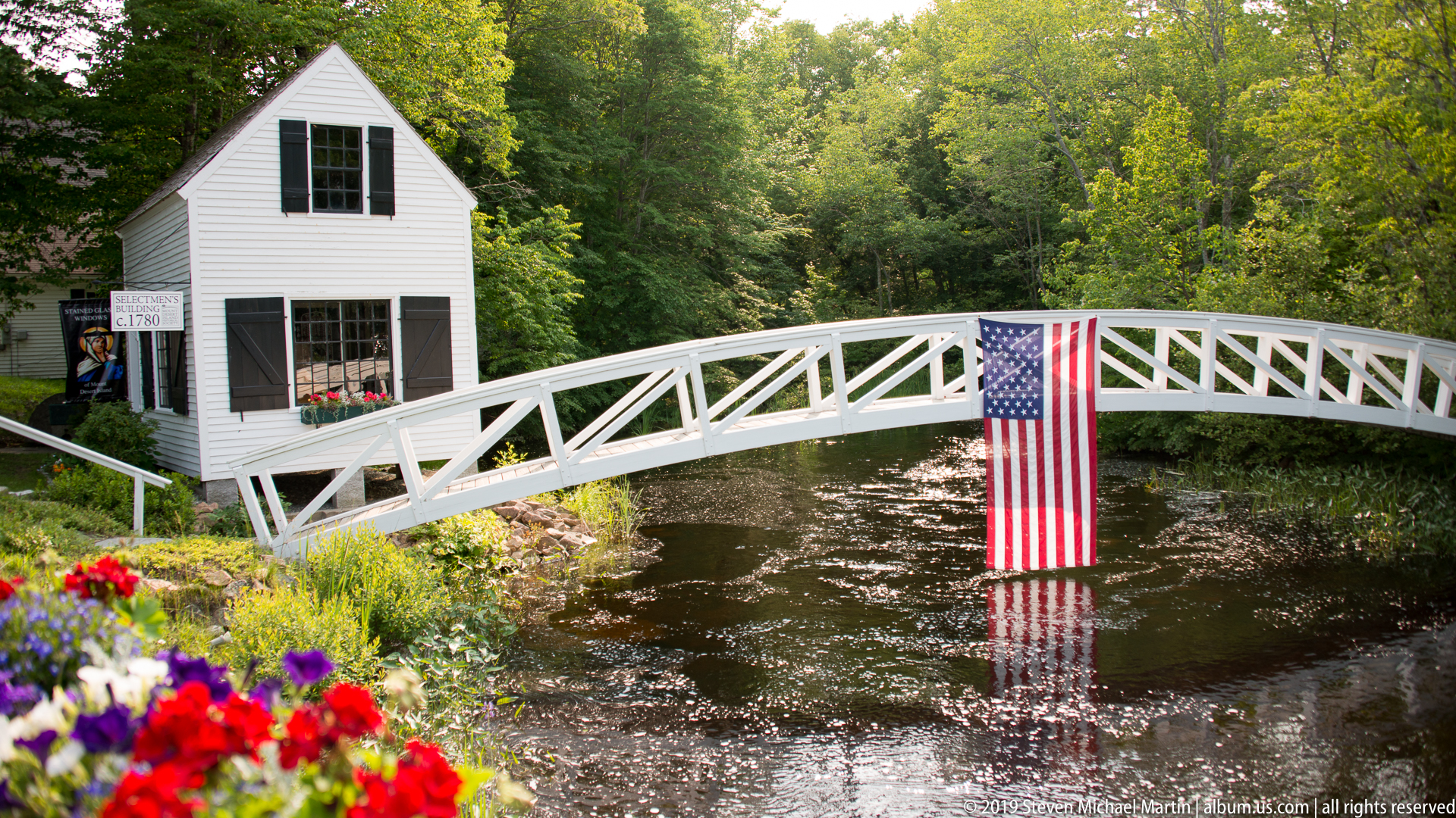
Mount Desert Island Mount Desert Island forms the geographic center of Acadia National Park, where granite mountains rise above the Atlantic shoreline as part of the northern extension of the Appalachian mountain system. The island’s landscape reflects the effects of continental glaciation that carved valleys, exposed resistant bedrock, and shaped the irregular coastline characteristic of […]
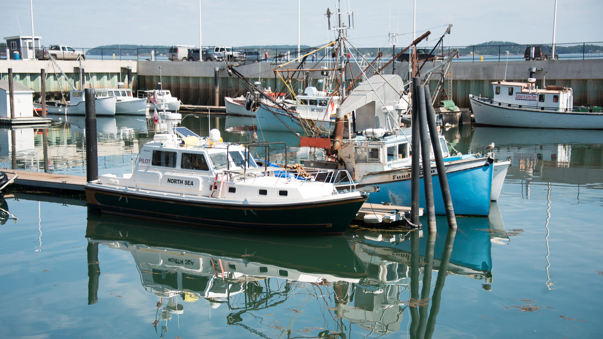
Eastport Eastport occupies Moose Island in Passamaquoddy Bay near the international boundary between the United States and Canada, where powerful tides and maritime access shaped the development of one of the easternmost cities in the country. The surrounding waters experience dramatic tidal fluctuations influenced by the Bay of Fundy, creating dynamic coastal conditions that historically […]
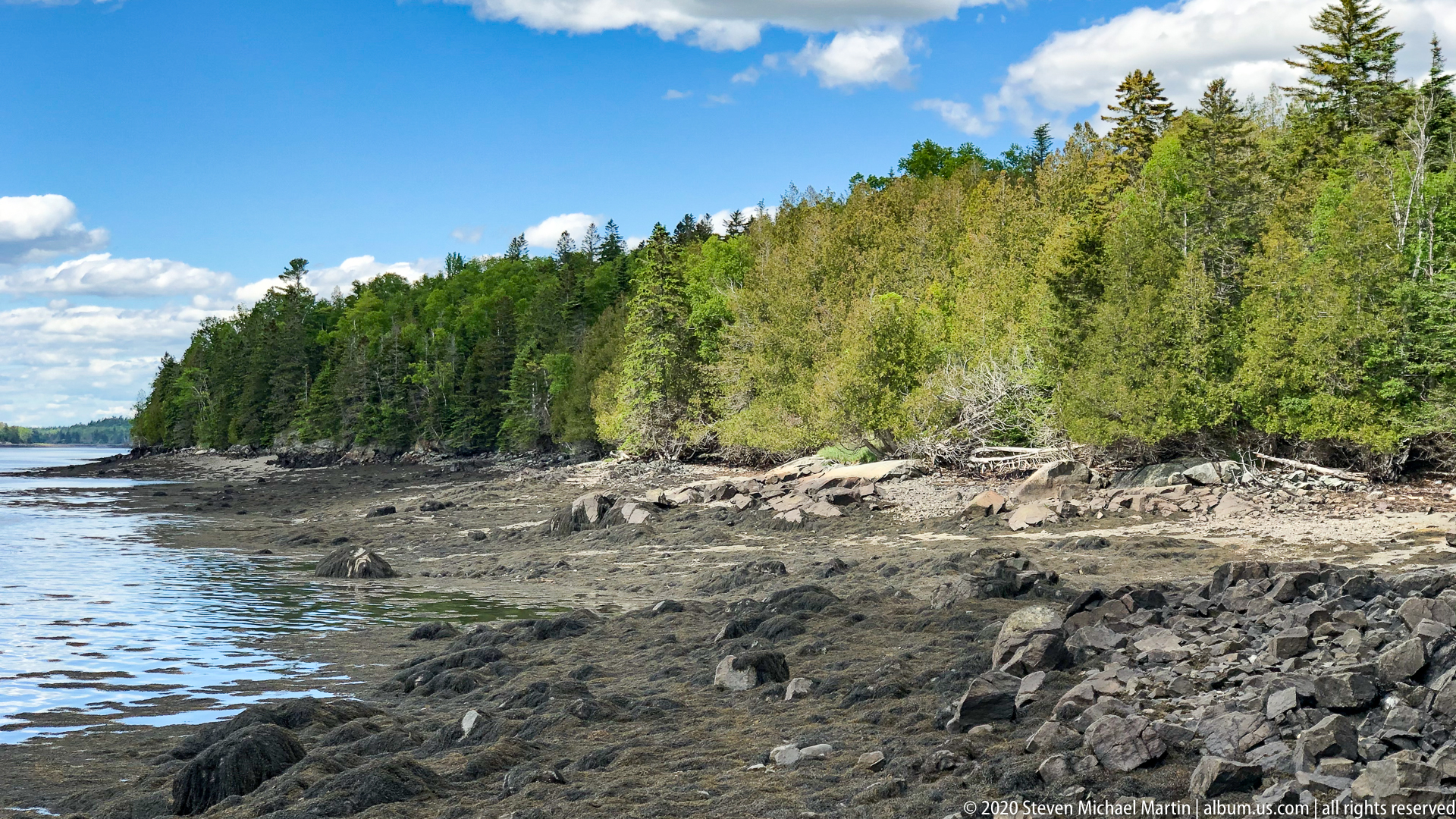
Whiting Bay and Raft Cove Road Whiting Bay lies along the complex tidal shoreline of eastern Maine near Cobscook Bay, where powerful currents associated with the Bay of Fundy produce some of the highest tidal ranges in North America. The coastline reflects glacially shaped terrain characterized by rocky coves, forested uplands, and sheltered inlets that […]
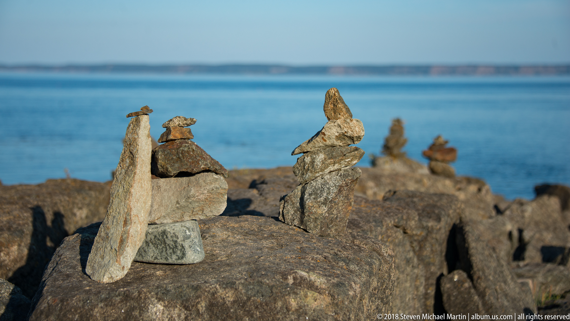
Quoddy Head State Park Quoddy Head State Park occupies the easternmost peninsula of the contiguous United States, where the rocky coastline of Maine meets the tidal waters of the Bay of Fundy. The headland reflects geological processes associated with ancient bedrock formations shaped by glacial activity and ongoing coastal erosion. The park’s forested landscape, peat […]
Moosehorn National Wildlife Refuge Moosehorn National Wildlife Refuge protects a large expanse of forest, wetland, and tidal shoreline in eastern Maine within the Atlantic Flyway, one of the major migratory bird corridors of North America. Established in 1937, the refuge encompasses rolling glacial terrain characterized by mixed hardwood and conifer forest, peat bogs, streams, and […]
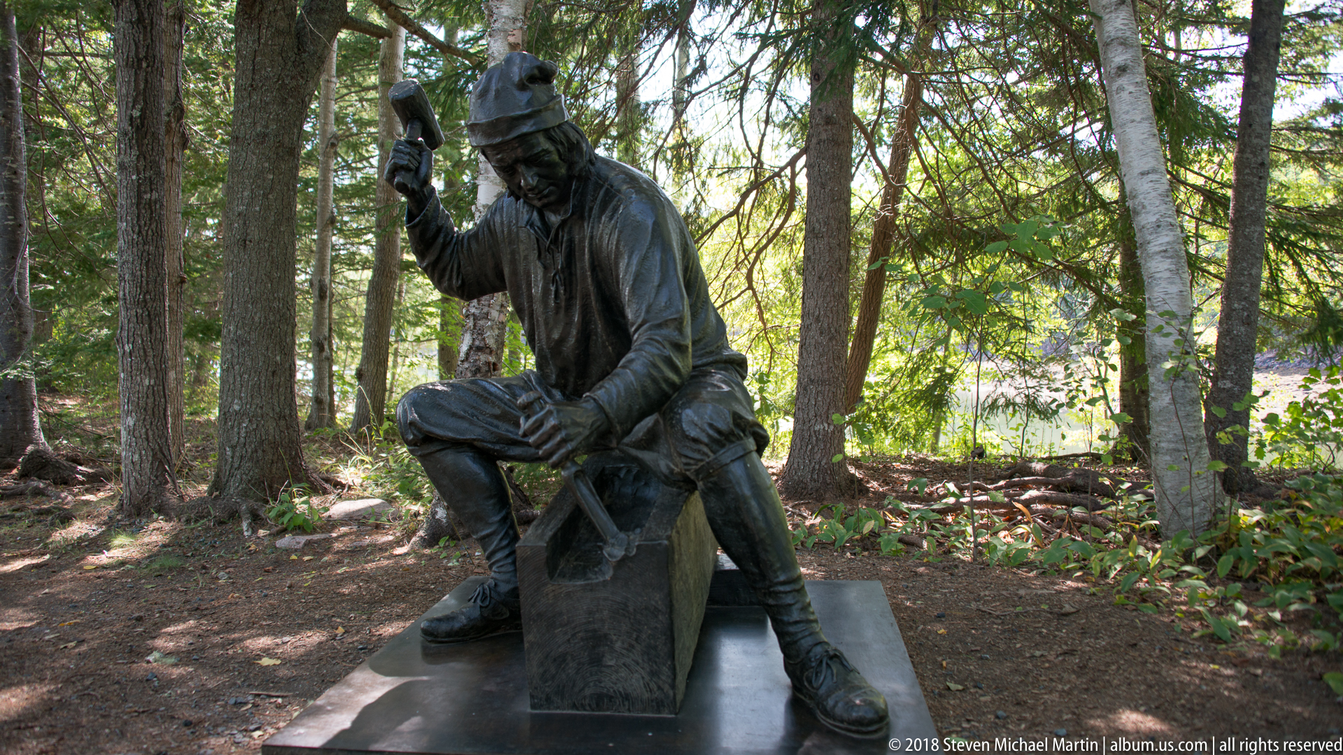
Saint Croix Island Settlement The Saint Croix Island settlement represents one of the earliest European colonial efforts in northern North America, established in 1604 by French explorer Pierre Dugua, Sieur de Mons, accompanied by cartographer Samuel de Champlain. The small island lies within the Saint Croix River, which today forms part of the international boundary […]
Trescott and Lubec Trescott Township and Lubec are located near the easternmost point of the United States, where the coastline of Maine meets the Bay of Fundy and the Canadian province of New Brunswick. The region reflects a maritime landscape shaped by powerful tidal forces, rocky shoreline formations, and long traditions of fishing and navigation […]
Down East The Down East region of Maine encompasses remote coastal landscapes shaped by glaciation, maritime climate, and long traditions of fishing and navigation along the Gulf of Maine. The term originated in nautical language describing vessels sailing downwind toward eastern ports along the New England coast, reflecting the importance of maritime geography in shaping […]
Acadia National Park Celebration Acadia National Park reflects more than a century of conservation history shaped by private philanthropy, public stewardship, and continued cultural connection to the coastal landscape of Maine. The park originated as Sieur de Monts National Monument in 1916 and later became the first national park established east of the Mississippi River, […]
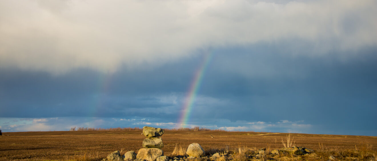
Maine Rainbows and Provincetown in Bloom The coastal environments of northern New England are shaped by rapidly changing maritime weather patterns that influence light, visibility, and atmospheric conditions along the Atlantic shoreline. Rainbows frequently occur where ocean moisture, passing storms, and coastal sunlight combine to create shifting visual conditions across open water and rocky coastline. […]