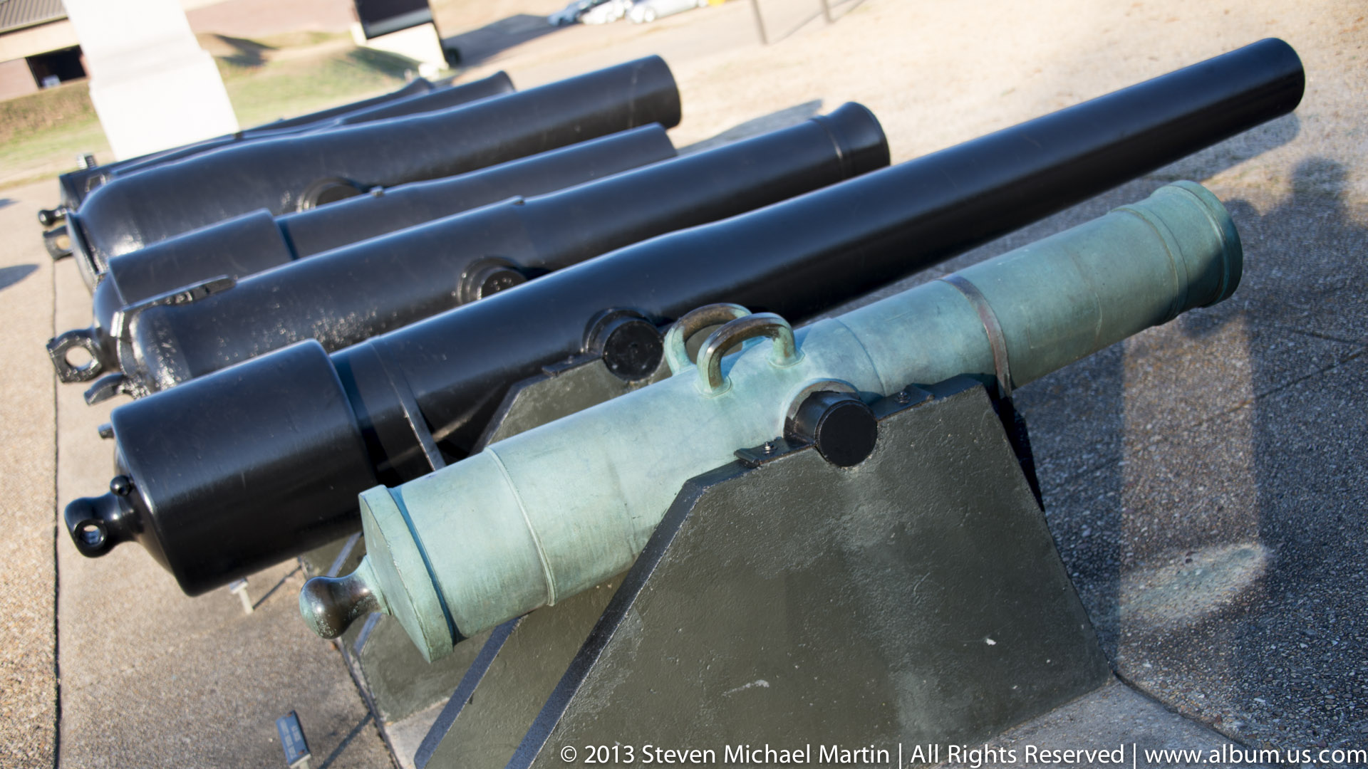
Vicksburg National Military Park
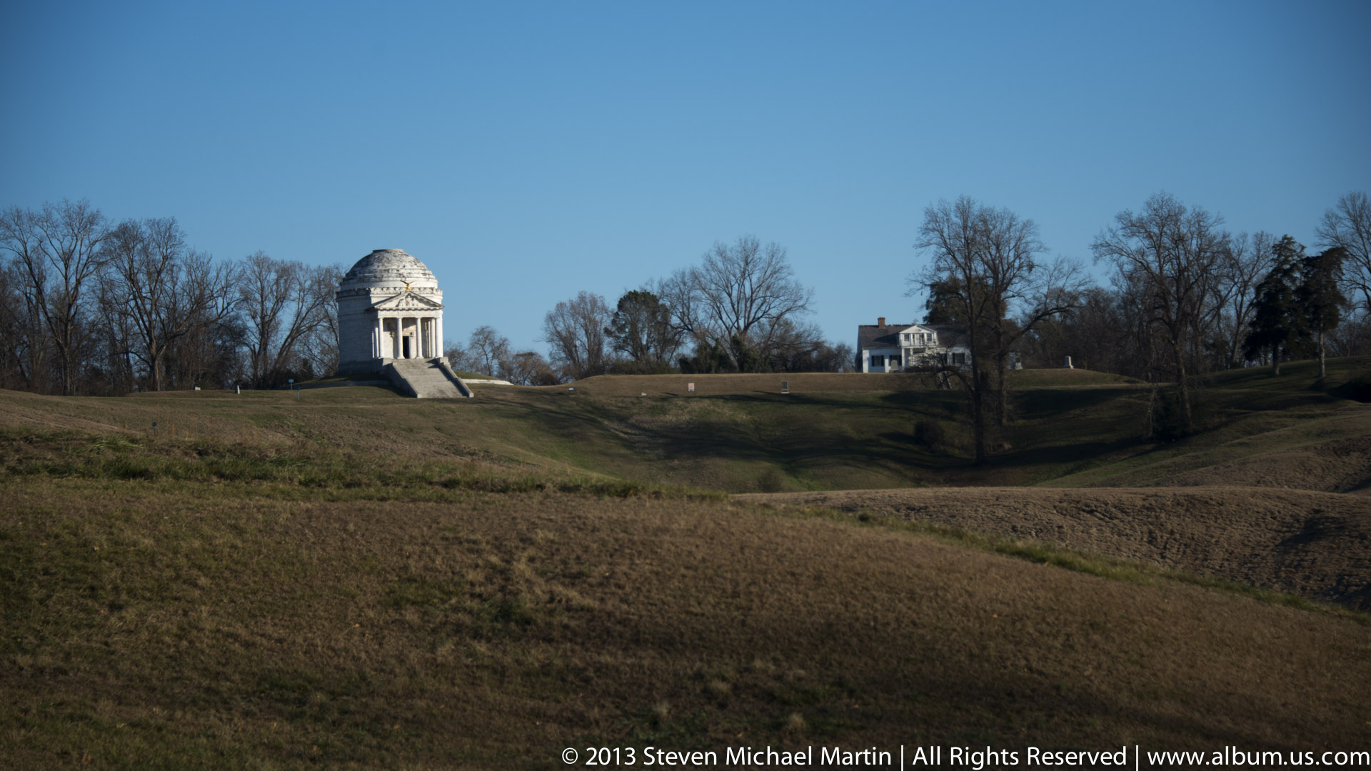
Vicksburg National Military Park preserves the landscape associated with a major Civil War campaign that focused on control of the Mississippi River. The cityβs location on high ground overlooking the river made it strategically important for transportation and supply routes. Military operations in the region illustrate how geography influenced tactical decisions.
River access allowed movement of troops and materials that supported sustained campaigns. Control of the Mississippi River affected communication between regions of the United States during the Civil War. The preserved battlefield landscape reflects the role of terrain in shaping historical events.
Today, Vicksburg demonstrates how river systems influenced military strategy and transportation networks. The site illustrates the relationship between geography and historical conflict along the Mississippi River corridor.
National Park Field Guide
Vicksburg National Military Park preserves terrain associated with military campaigns focused on control of the Mississippi River. The site illustrates how geography influenced transportation routes and strategic planning.
β Key Features
- High ground overlooking Mississippi River
- Terrain influencing military strategy
- River transportation corridor
- Preserved battlefield landscape
- Geography affecting communication routes
π Historical Context
Control of the Mississippi River influenced supply movement and communication networks. Elevated terrain provided strategic advantages during military operations.
π· Photography Notes
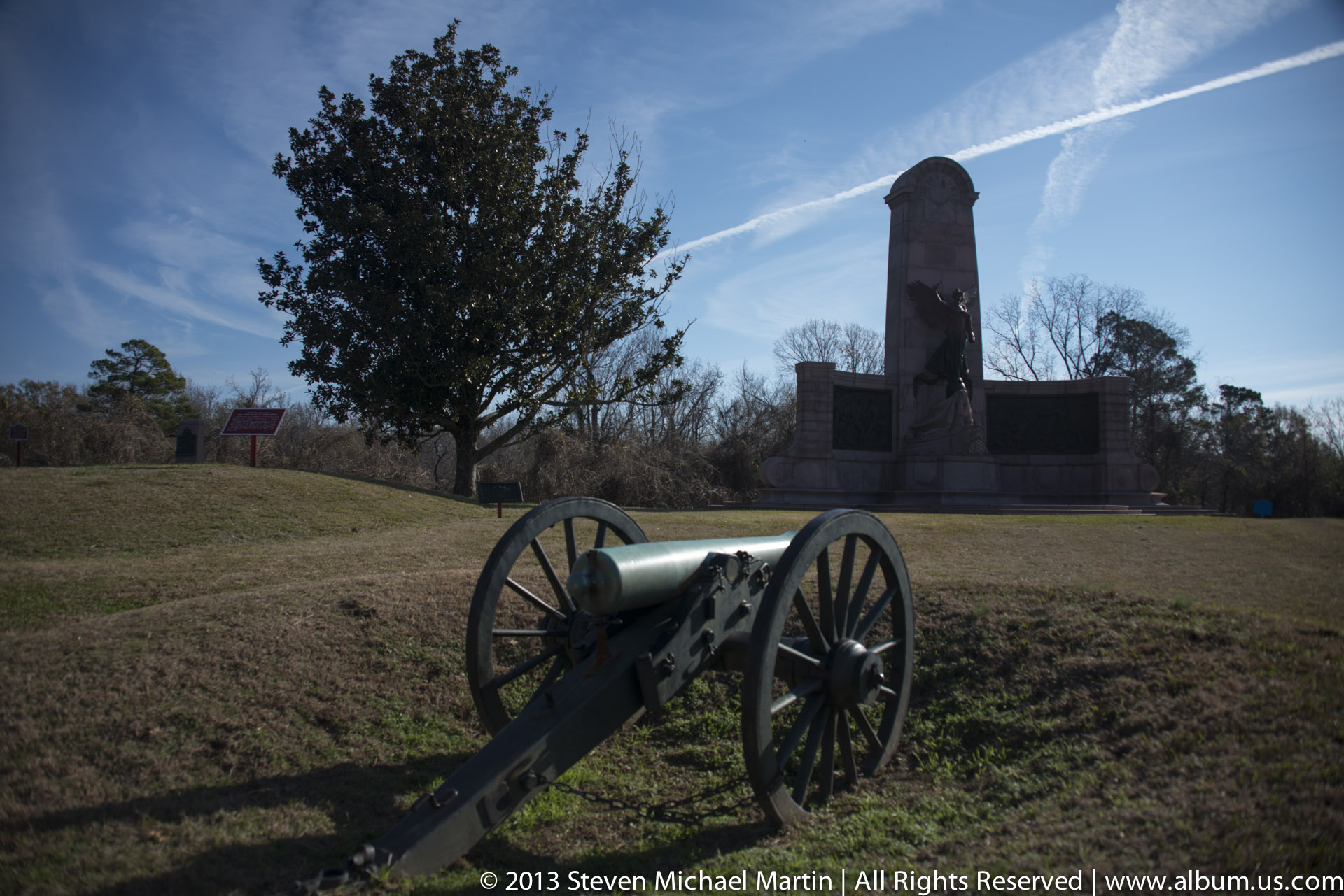
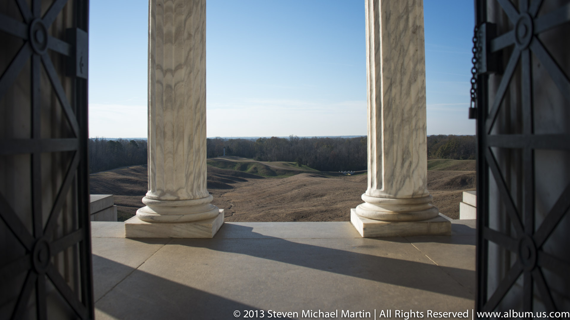
- Wide compositions show terrain elevation
- Look for relationship between river and landscape
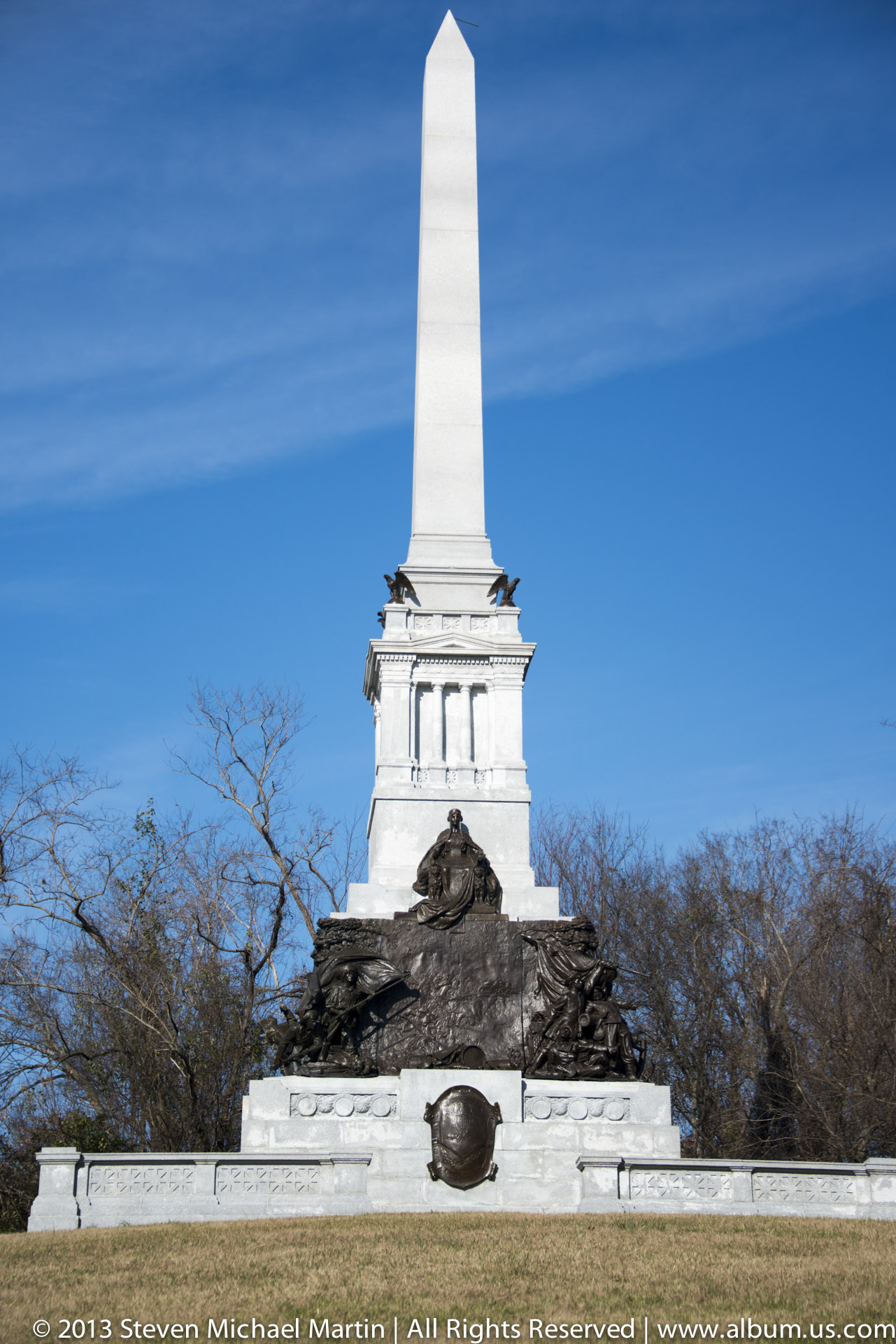
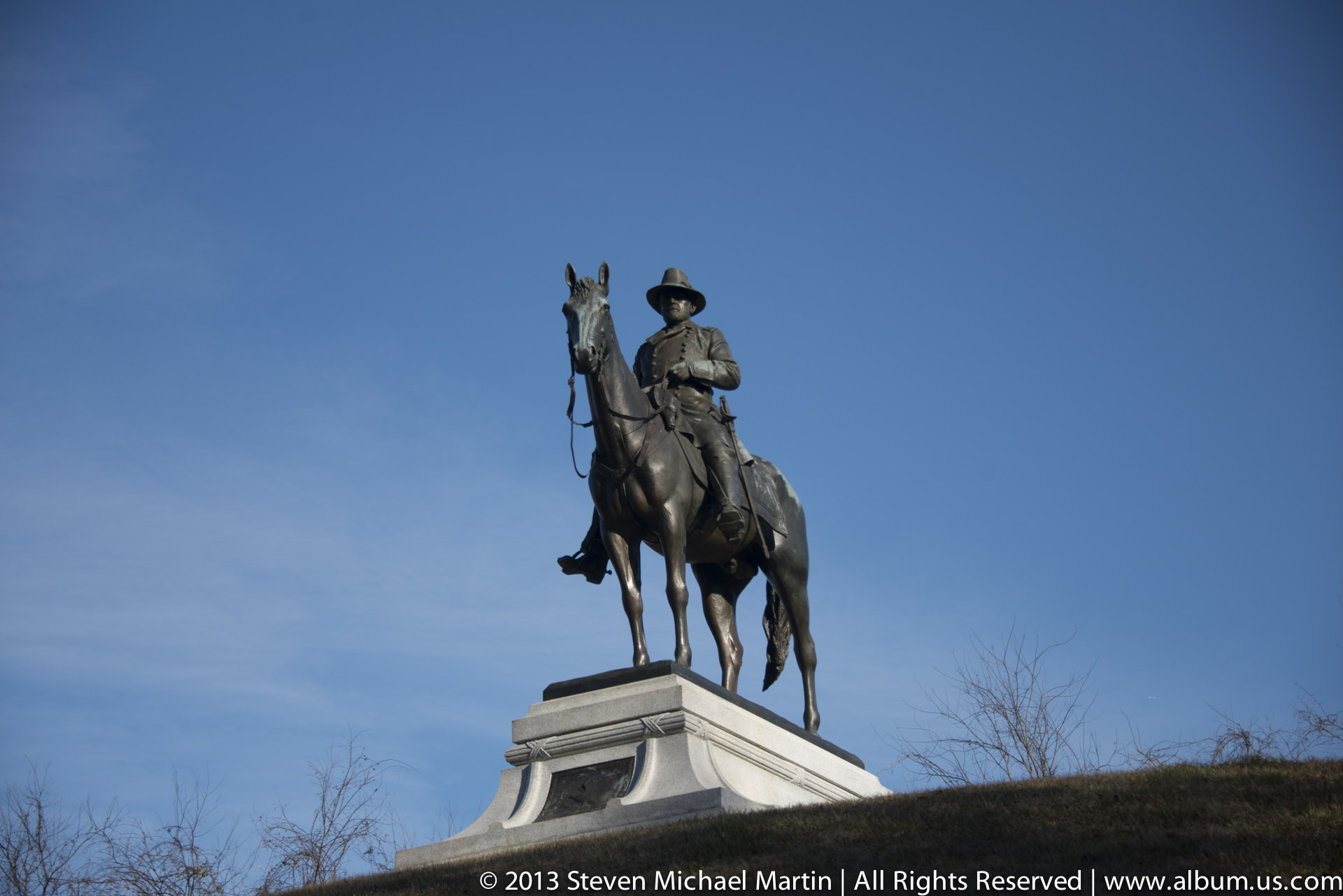
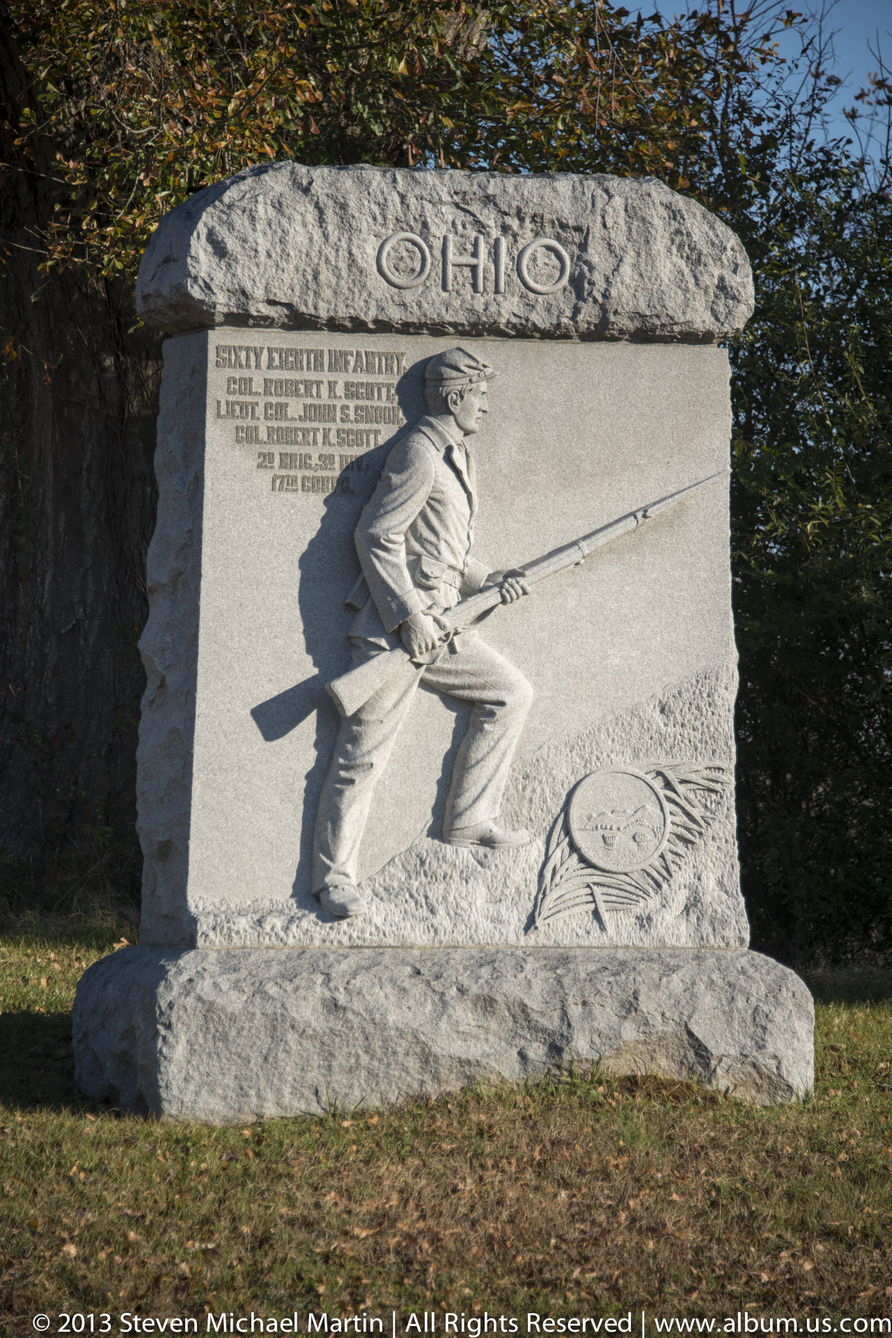
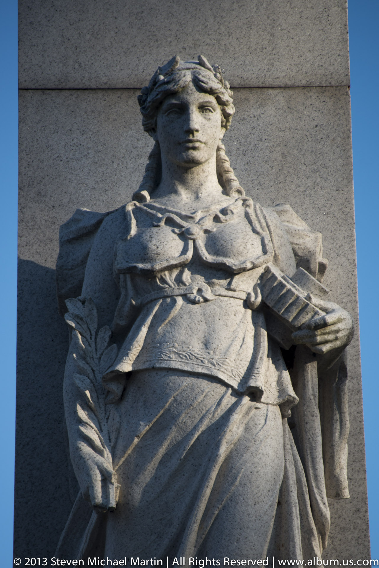
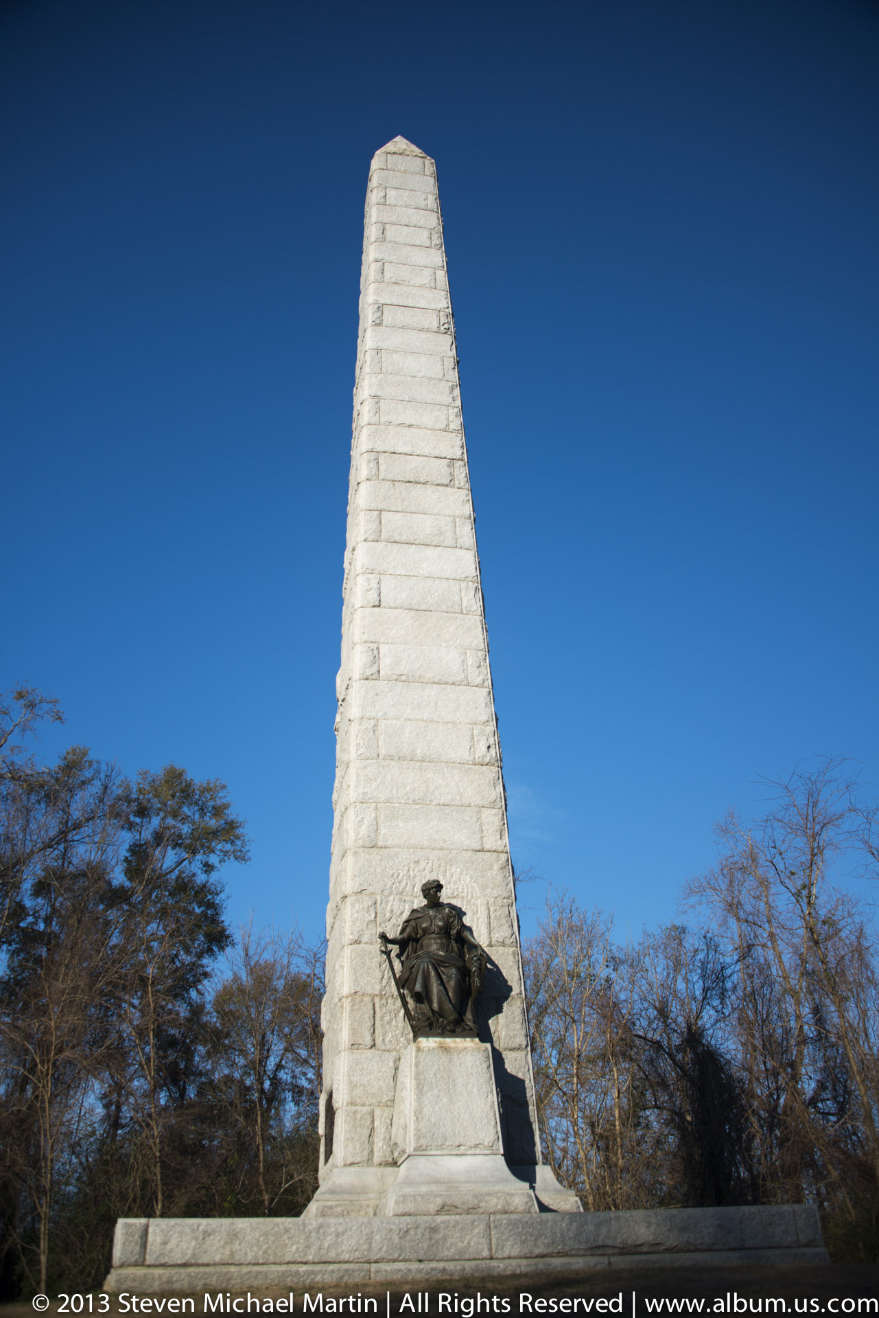
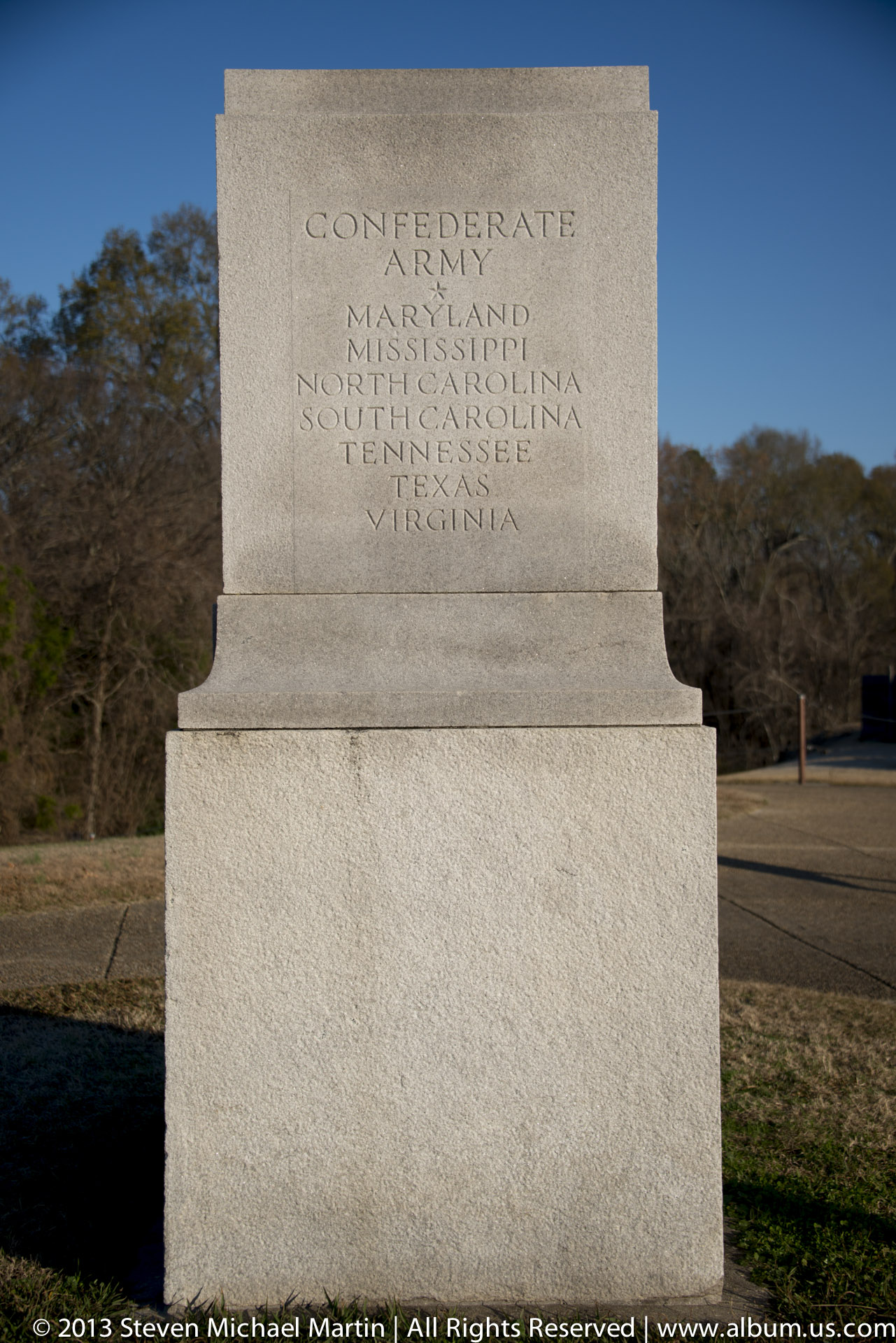
- Monuments add visual structure
- Morning light enhances landscape contrast