Crater Lake National Park
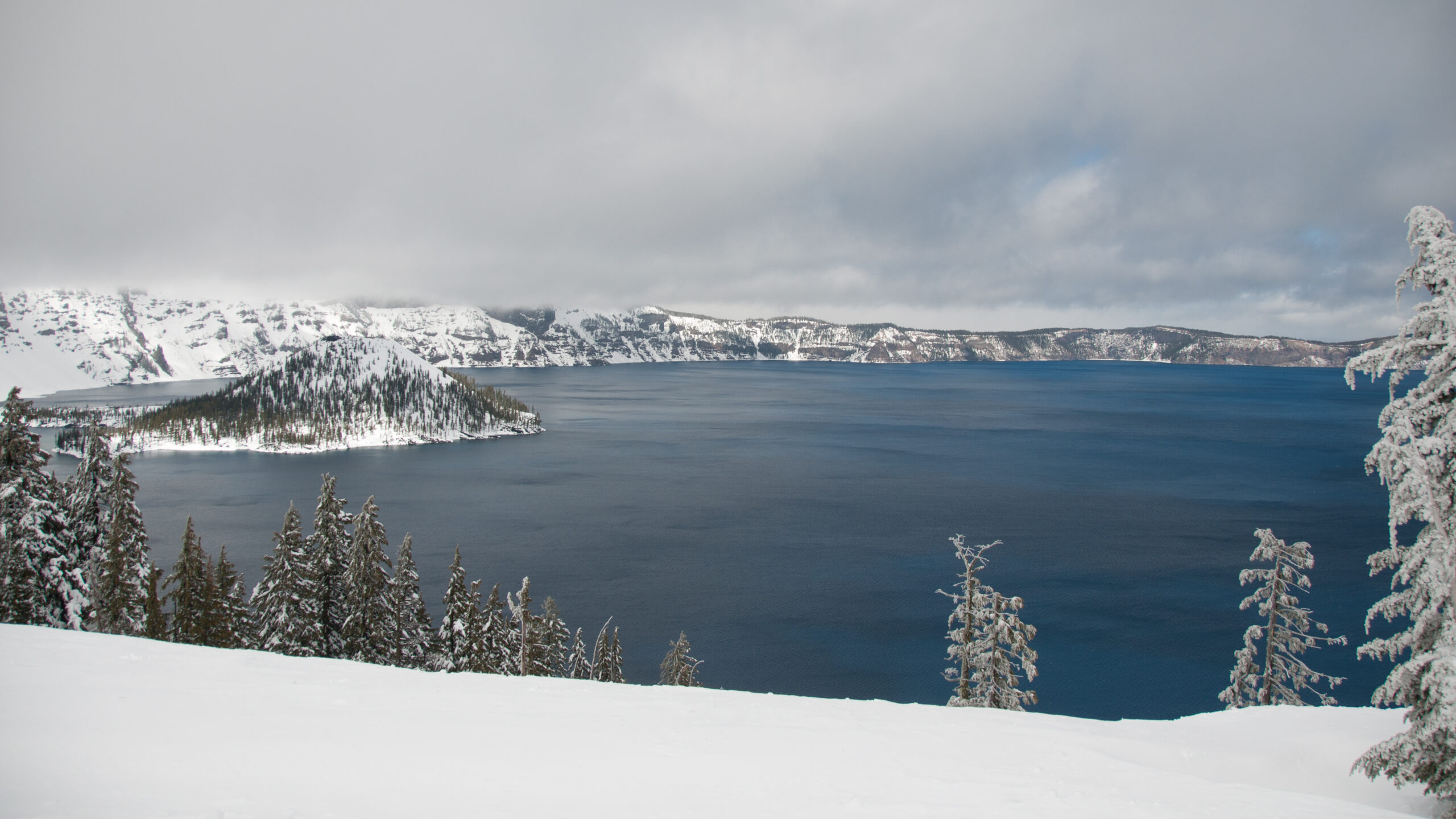
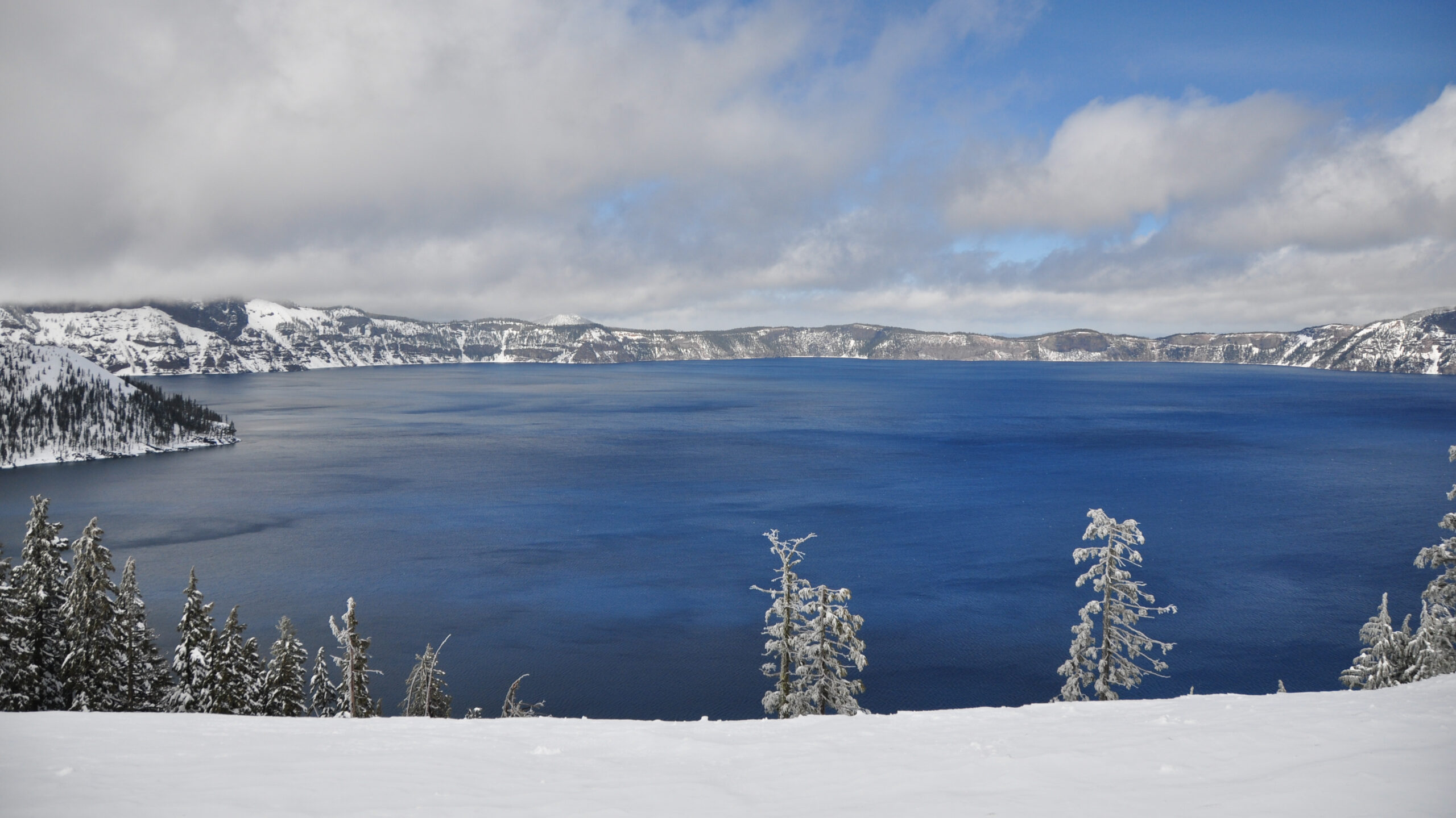
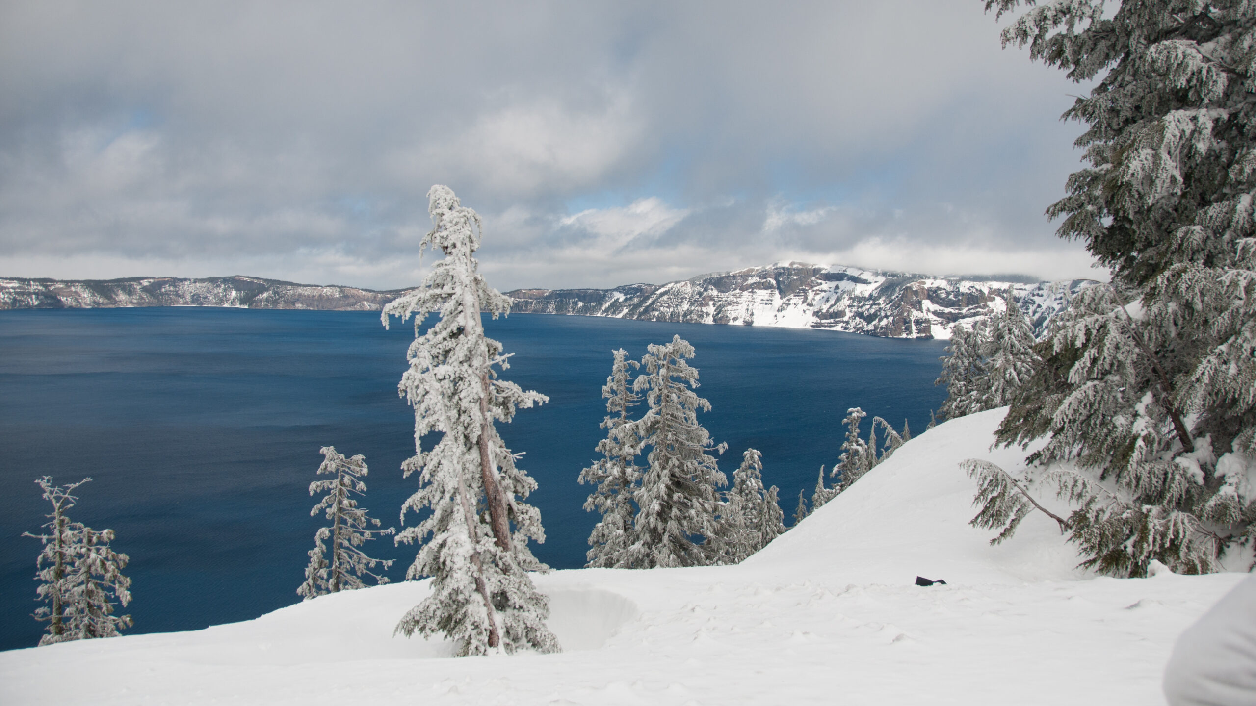
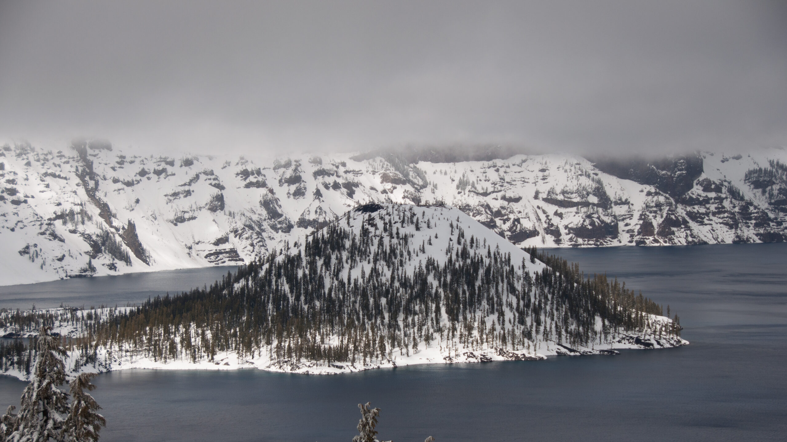
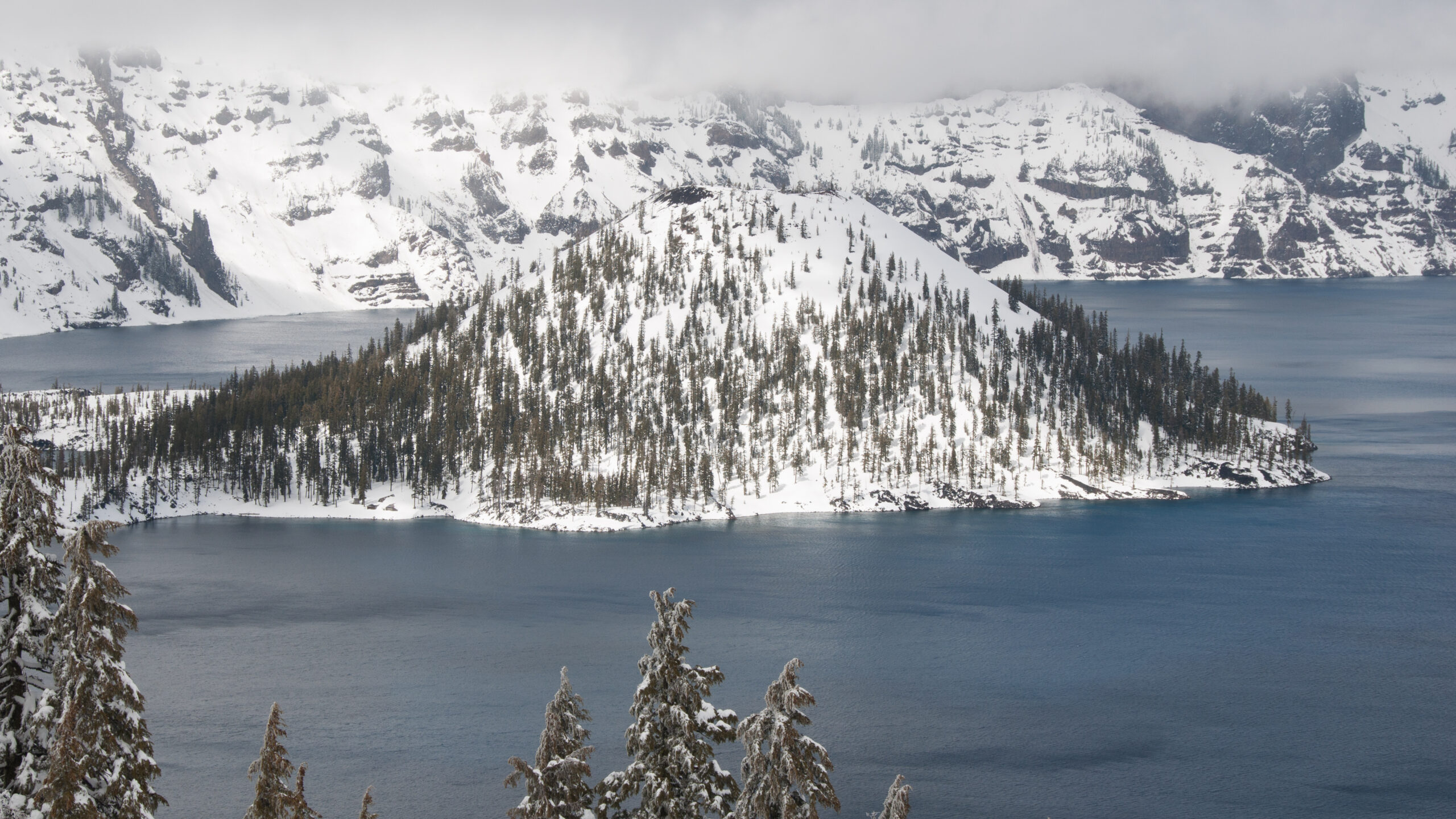
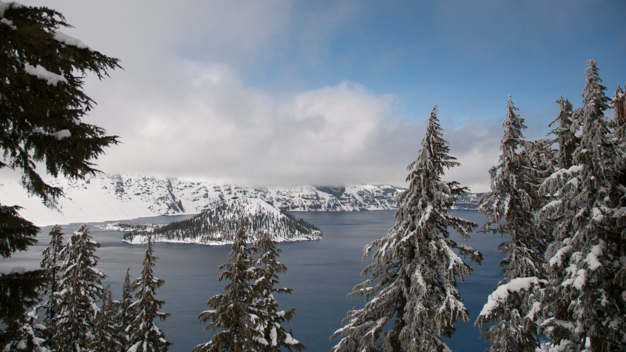
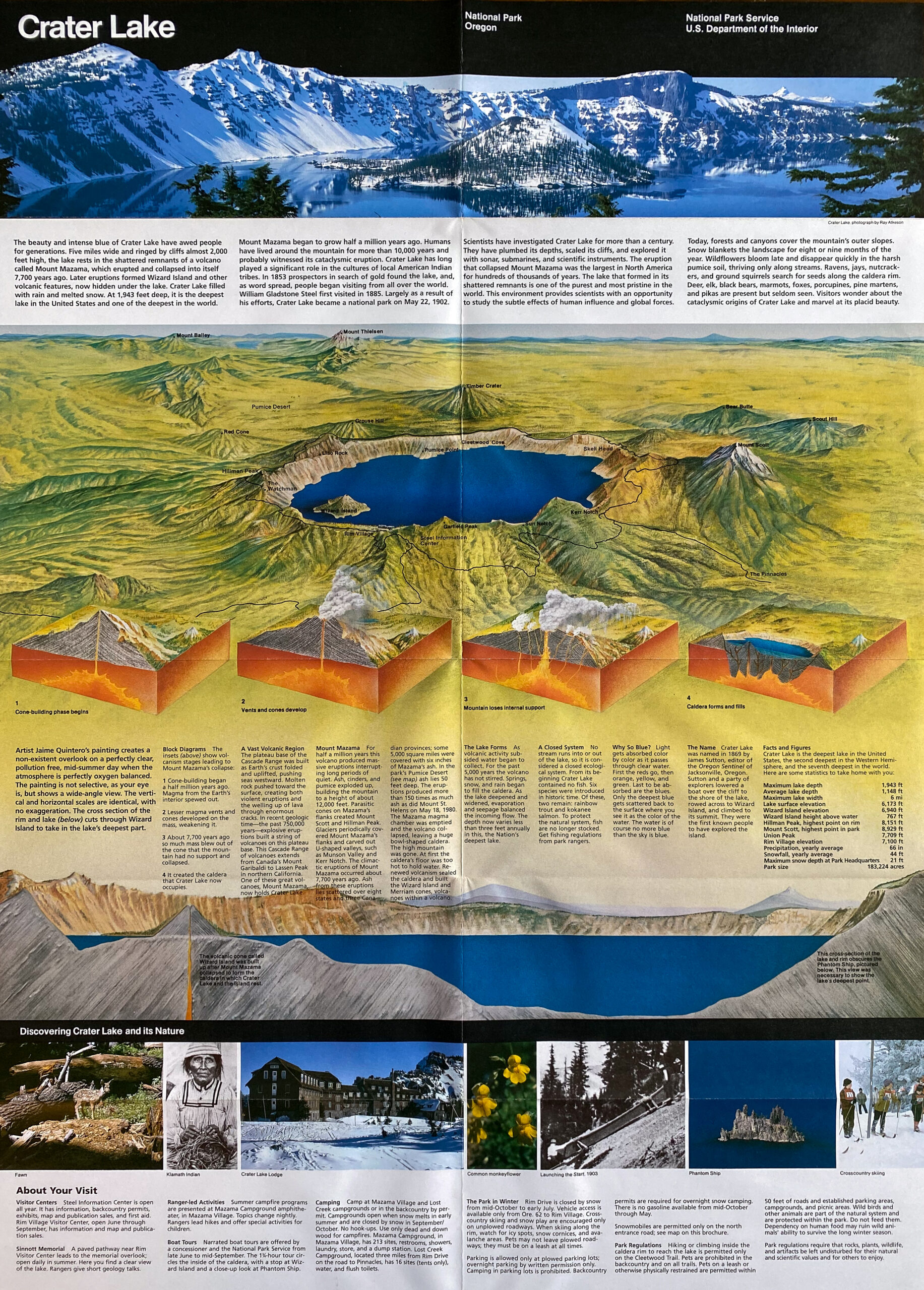
Crater Lake National Park protects a volcanic landscape formed by the eruption and collapse of Mount Mazama approximately 7,700 years ago. The resulting caldera gradually filled with rain and snowmelt, creating one of the deepest lakes in North America. The lake’s intense blue color reflects both depth and exceptional water clarity.
The surrounding rim provides views of steep crater walls that reveal the geological forces responsible for shaping the landscape. Volcanic activity and subsequent erosion created a dramatic basin that contrasts sharply with surrounding forested terrain. The lake environment reflects both destructive and regenerative geological processes.
Visitors experience Crater Lake as a landscape defined by contrast between water, rock, and sky. The simplicity of the caldera form highlights the scale of volcanic activity that shaped the region, creating one of the most visually distinctive natural features in the Pacific Northwest.
Lava Beds National Monument
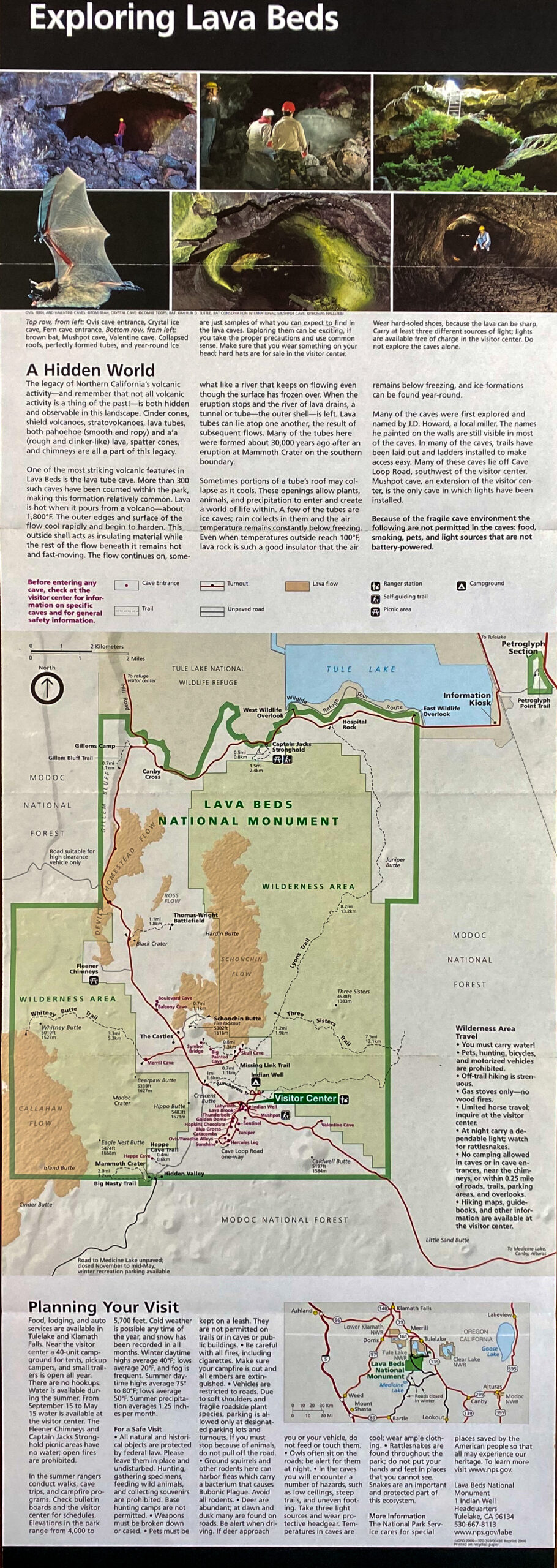
Lava Beds National Monument protects a landscape formed by repeated volcanic eruptions that created extensive lava flow formations across northern California. As molten rock cooled and solidified, hollow lava tubes formed beneath the surface, producing cave systems that illustrate the movement of lava during volcanic activity.
Surface features include rough volcanic rock textures and irregular terrain shaped by flowing magma. The landscape demonstrates how volcanic processes create both surface formations and underground geological features. Differences in lava thickness and cooling rates influenced the development of varied cave structures.
Visitors encounter Lava Beds as an environment defined by geological complexity and evidence of volcanic processes. The monument illustrates how volcanic activity contributes to the diversity of landscapes found across the Cascade volcanic region.








Crater Lake National Park — Field Guide
🏞️ National Park Field Guide
📍 Overview
Crater Lake National Park preserves a volcanic caldera formed by the collapse of Mount Mazama. Rain and snow gradually filled the basin, creating a deep lake known for exceptional clarity and intense blue color.
The surrounding crater rim exposes volcanic rock layers that illustrate the geological history of the Cascade Range. The caldera landscape demonstrates the long-term effects of volcanic activity and erosion.
⭐ Highlights
- Deep volcanic caldera lake
- Intense blue water color
- Mount Mazama eruption history
- Steep crater rim views
- Distinct volcanic landscape
🔎 Key Features
- Collapsed volcanic crater
- Deep freshwater lake
- Volcanic rock formations
- Cascade Range geology
- Clear atmospheric visibility
📷 Photography Notes
- Clear weather enhances water color
- Wide views emphasize crater scale
- Foreground rock adds depth
- Morning light produces softer contrast
- Simple compositions highlight color contrast
- Elevated viewpoints provide strong perspective

Lava Beds National Monument — Field Guide
🏛️ National Monument Field Guide
📍 Overview
Lava Beds National Monument preserves extensive volcanic terrain formed by lava flows that created surface rock formations and underground cave systems. Cooling magma produced lava tubes that remain visible today.
The monument demonstrates the geological processes associated with volcanic activity in the Cascade Range, illustrating how flowing lava shaped the surrounding landscape.
⭐ Highlights
- Lava tube cave systems
- Volcanic rock formations
- Evidence of historic lava flows
- Cascade volcanic geology
- Rugged volcanic terrain
🔎 Key Features
- Hollow lava tube structures
- Basalt rock formations
- Surface flow textures
- Volcanic geological processes
- Cave exploration opportunities
📷 Photography Notes
- Low light conditions inside caves
- Textures create strong abstract patterns
- Side lighting enhances rock detail
- Simple compositions highlight form
- Wide views show volcanic terrain
- Tripod useful in darker environments