Wrangell–St. Elias National Park
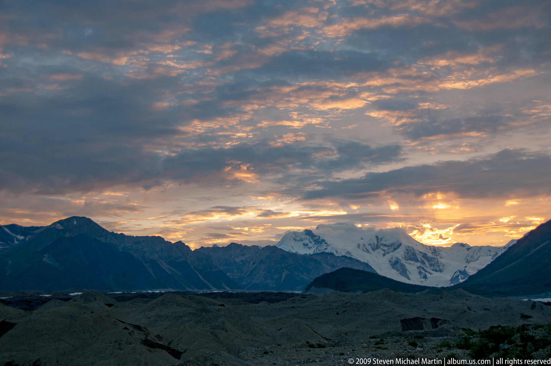
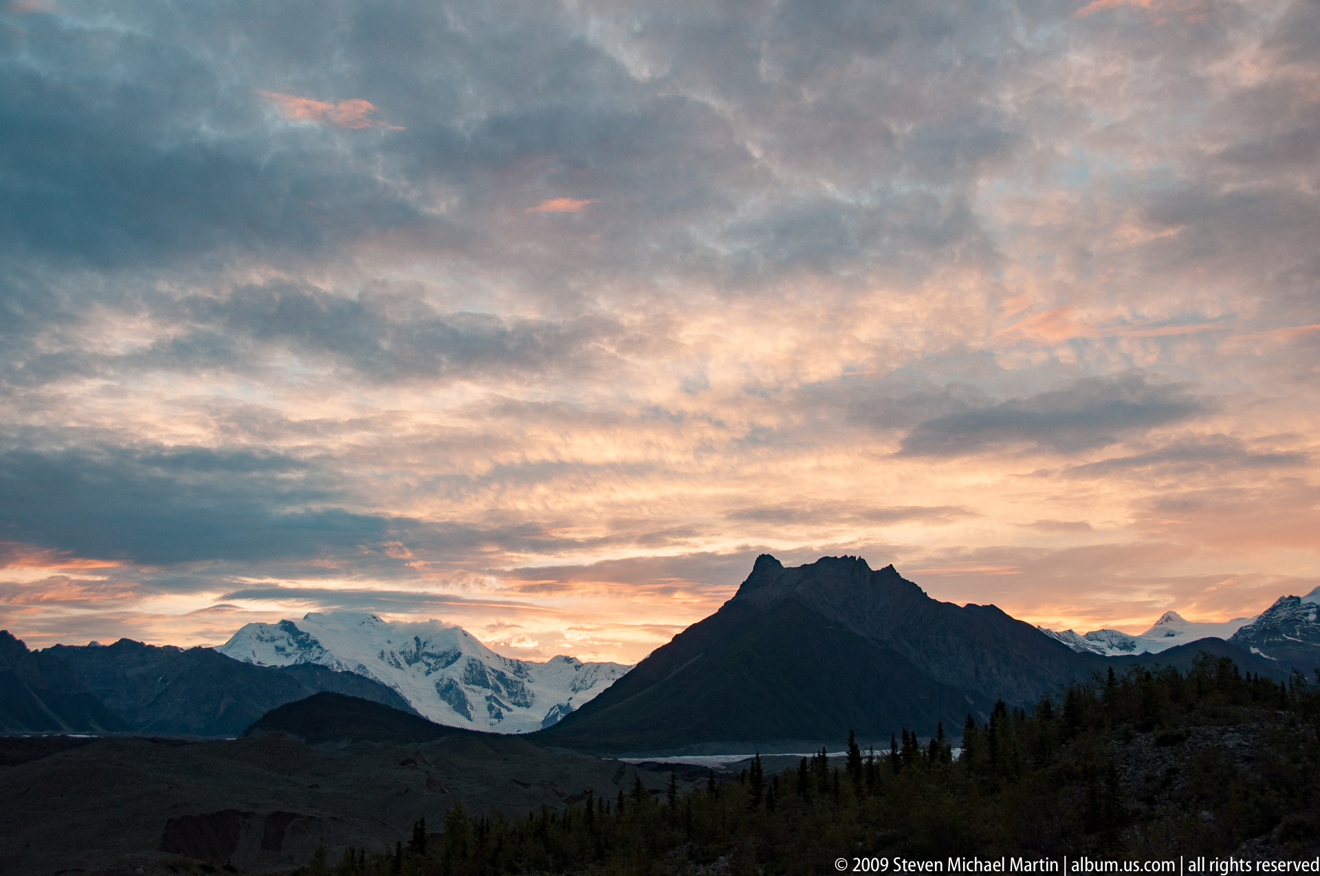
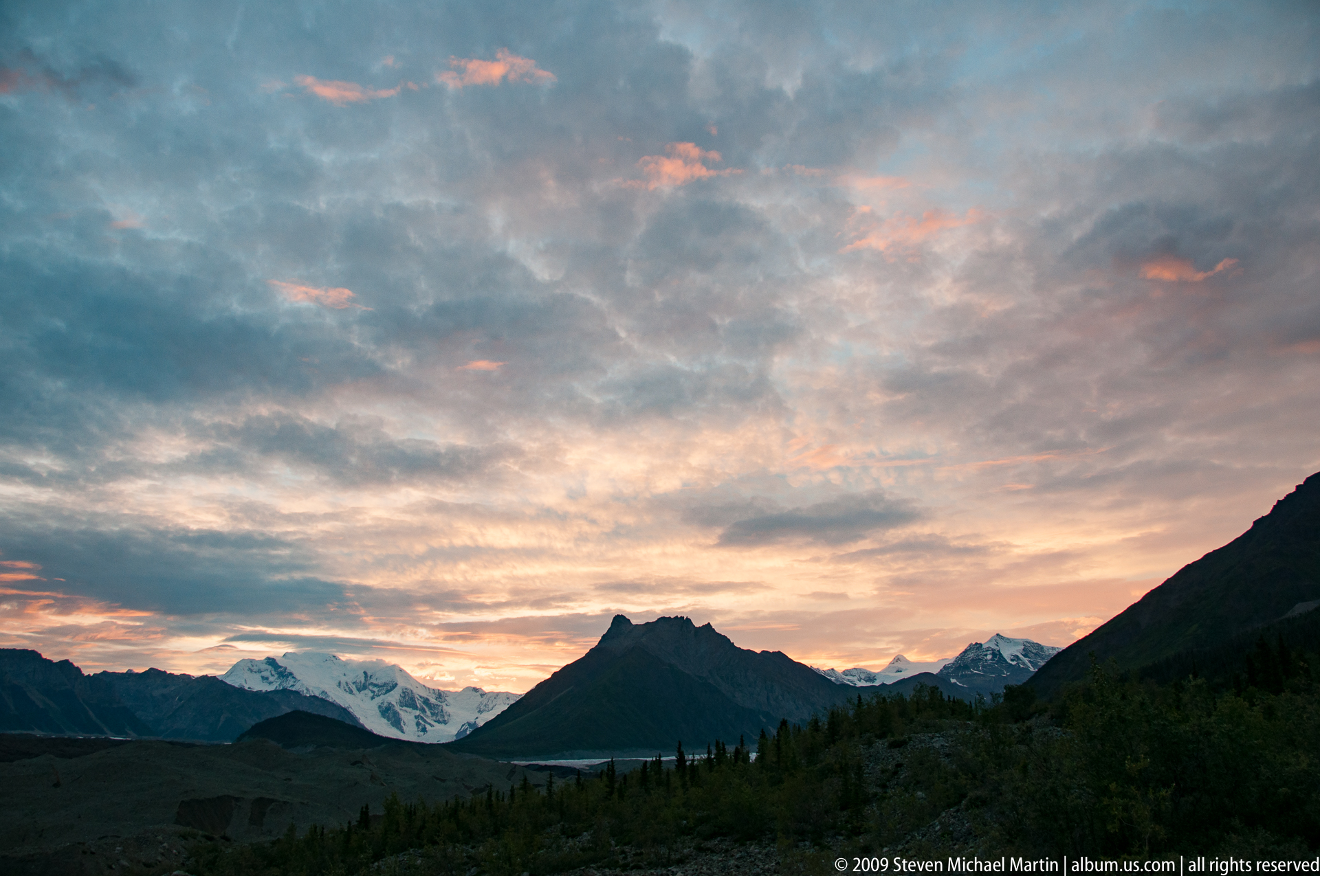
Wrangell–St. Elias National Park preserves one of the largest protected mountain landscapes in the world, encompassing vast ice fields, active volcanoes, alpine tundra, and extensive river systems shaped by tectonic uplift along the boundary of the Pacific and North American plates. The park lies at the convergence of several major mountain ranges, including the Wrangell, Saint Elias, and Chugach Mountains, where some of the highest peaks in North America rise above expansive glacial terrain. Long periods of glaciation carved broad valleys and transported sediment across the Copper River basin, producing a landscape that continues to evolve through volcanic activity, ice movement, and seasonal climatic variation.
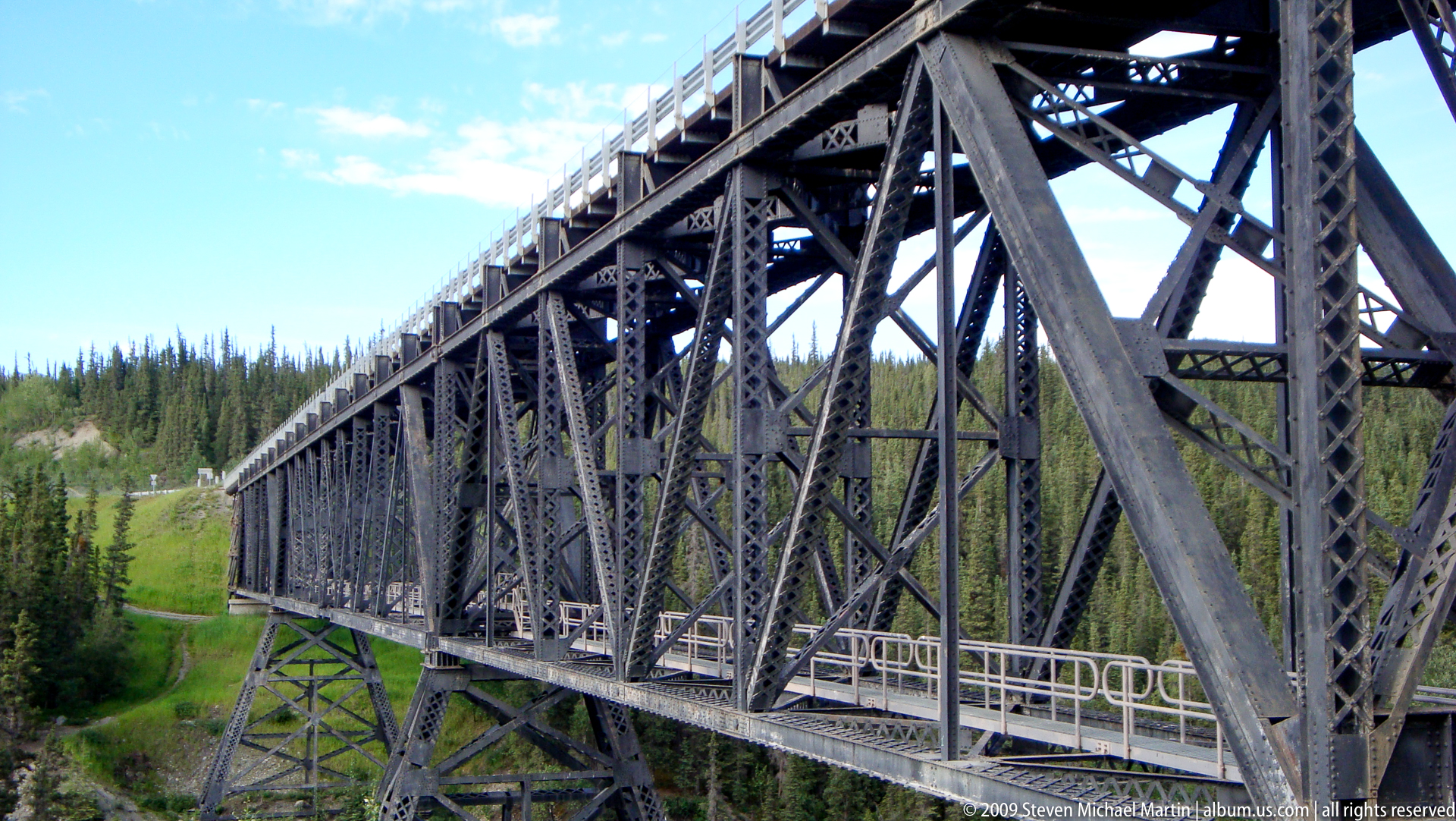
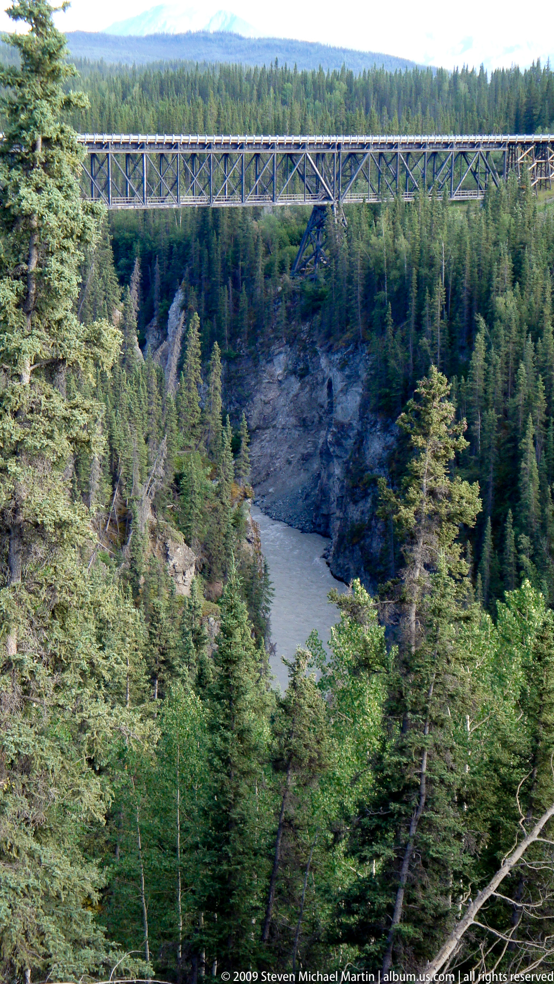
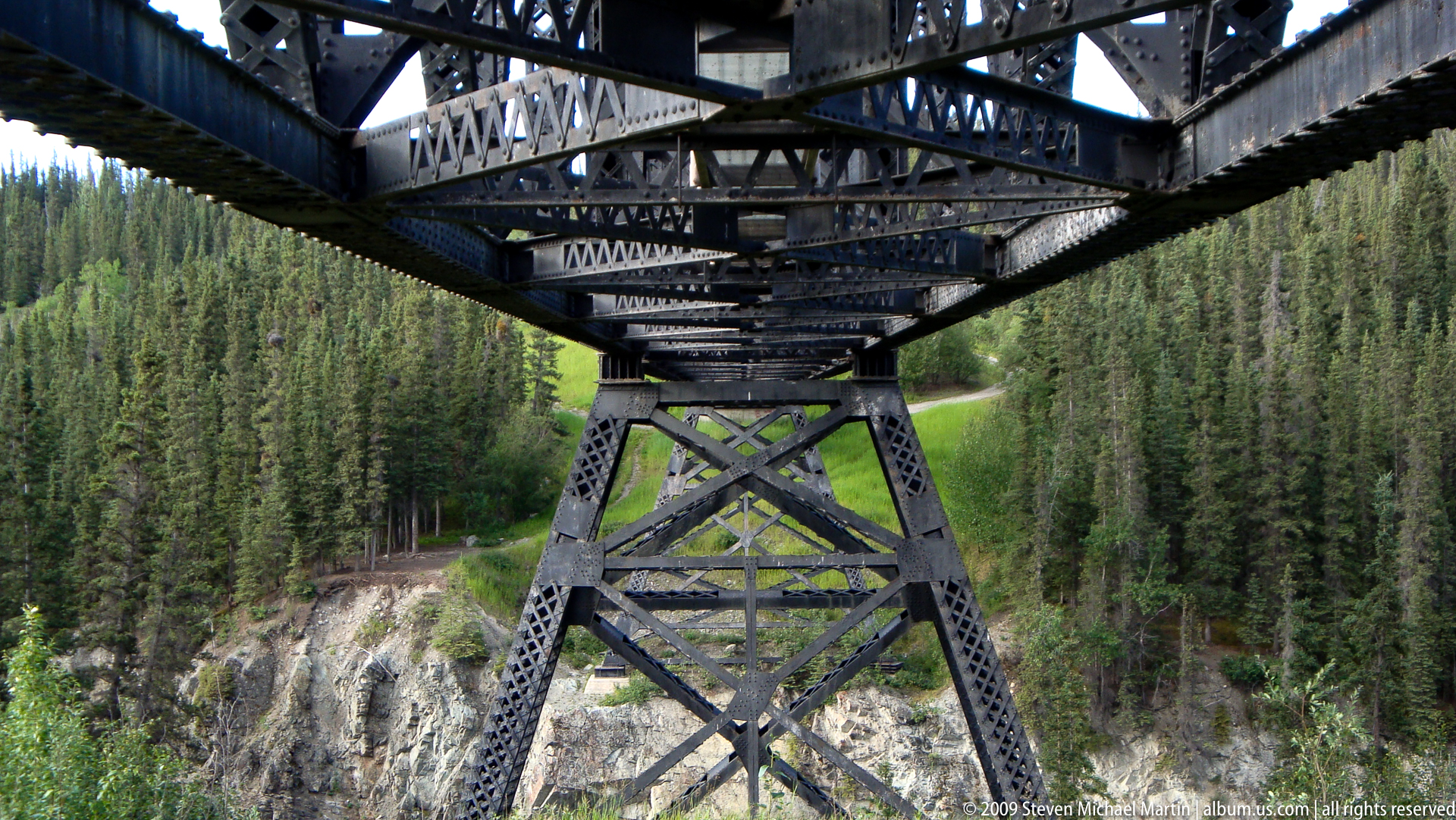
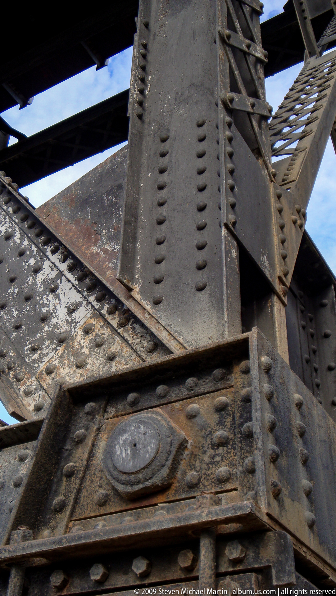
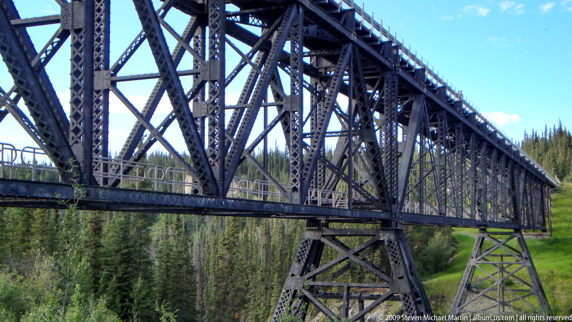
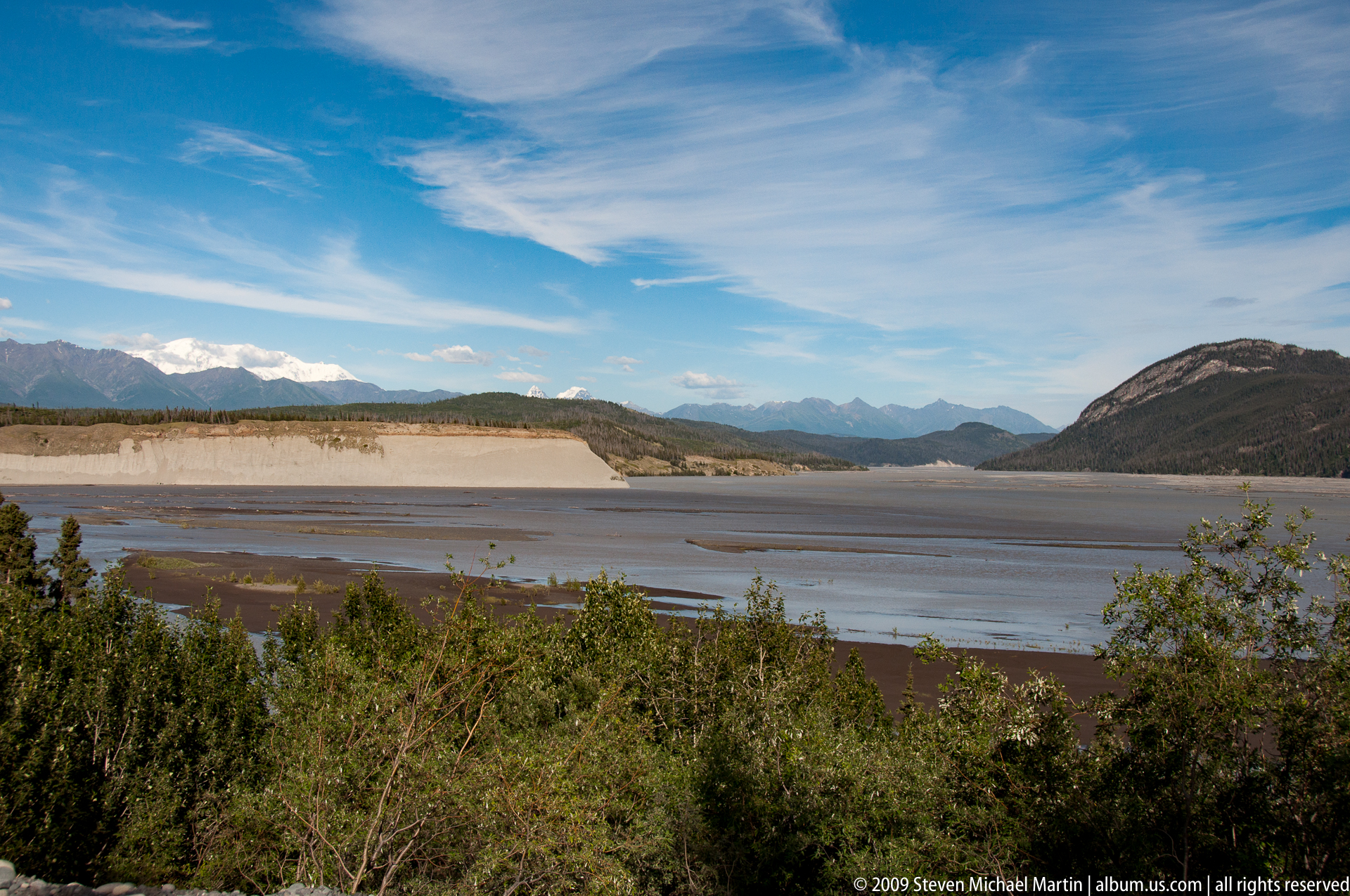
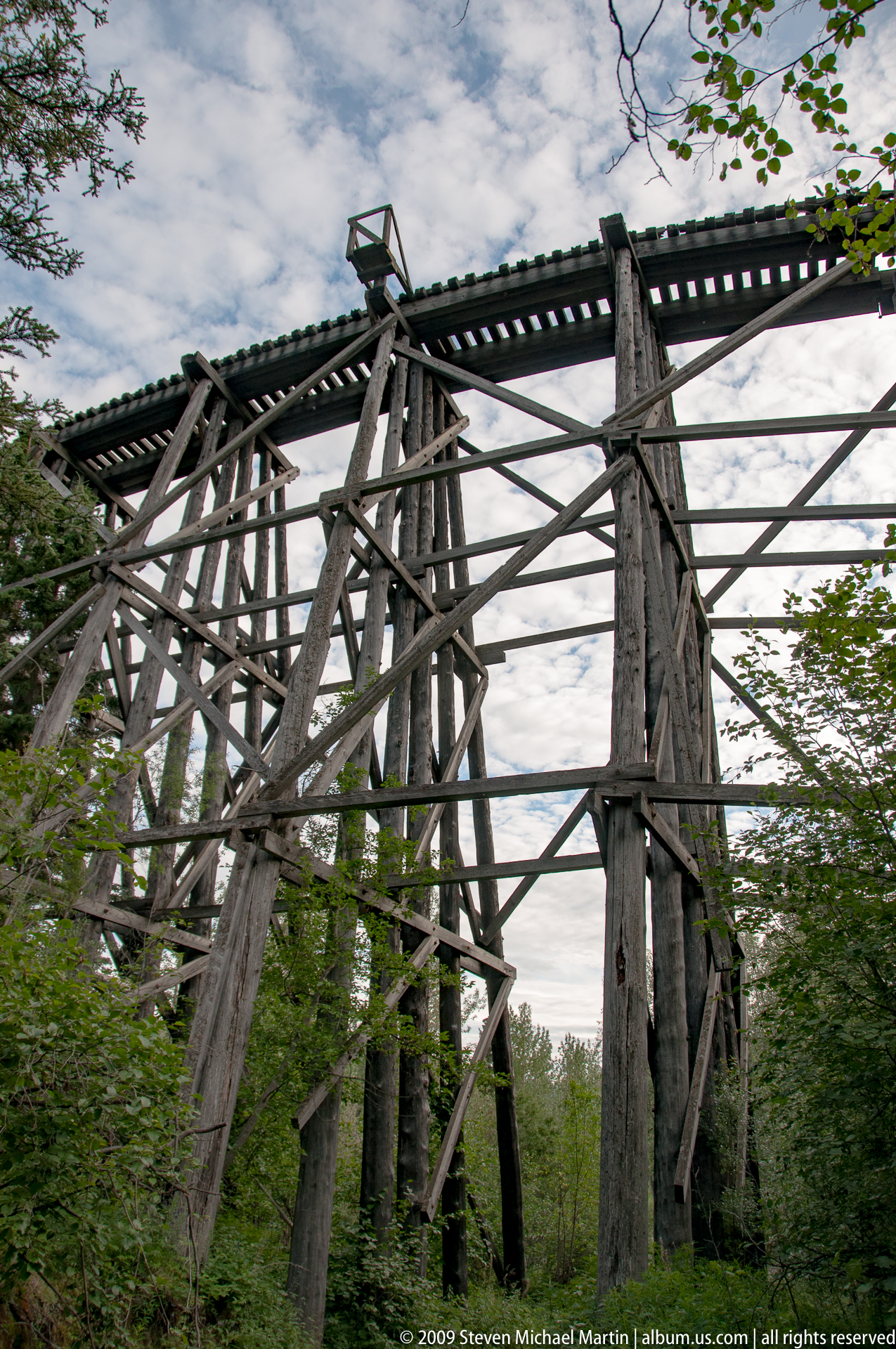
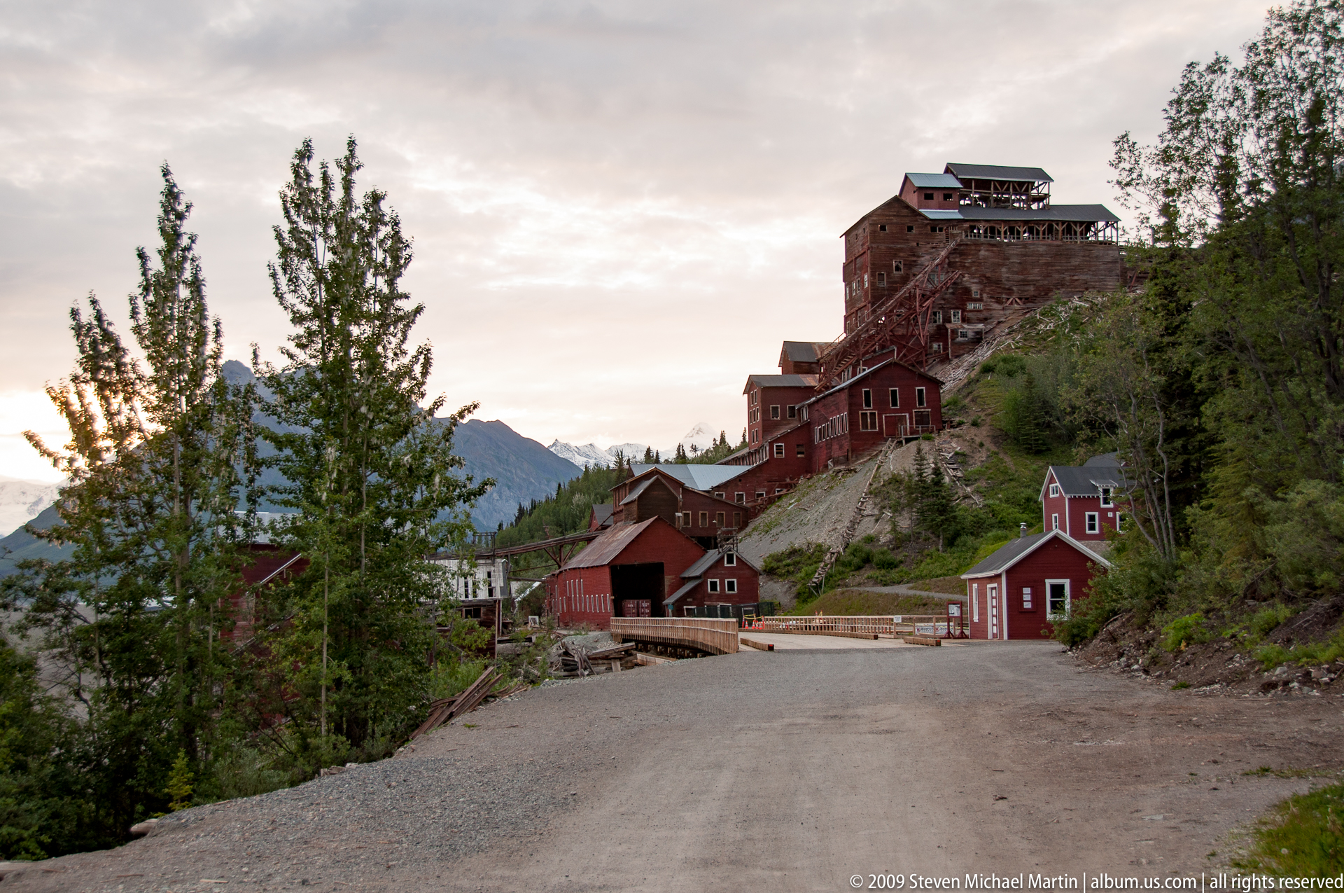
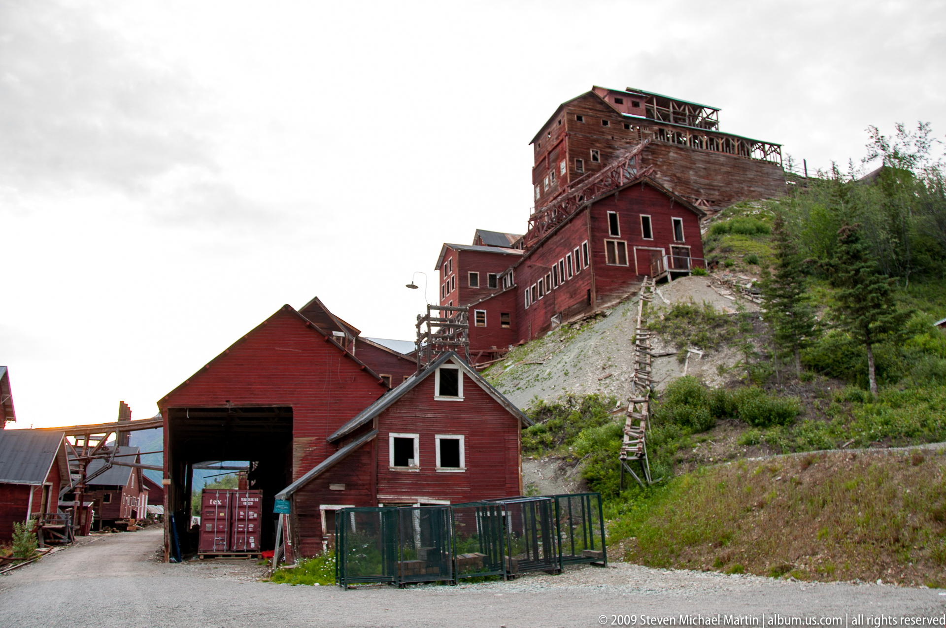
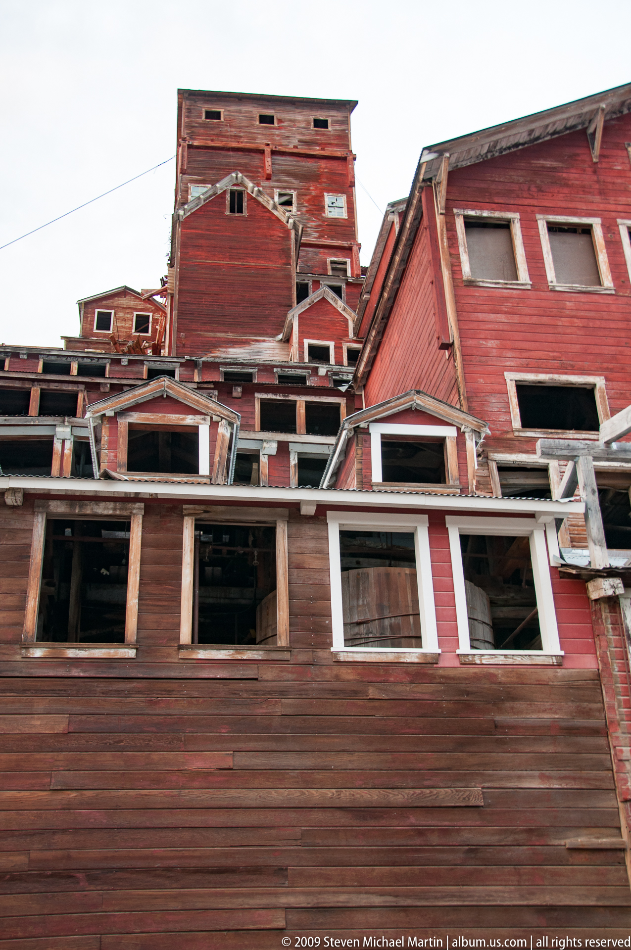
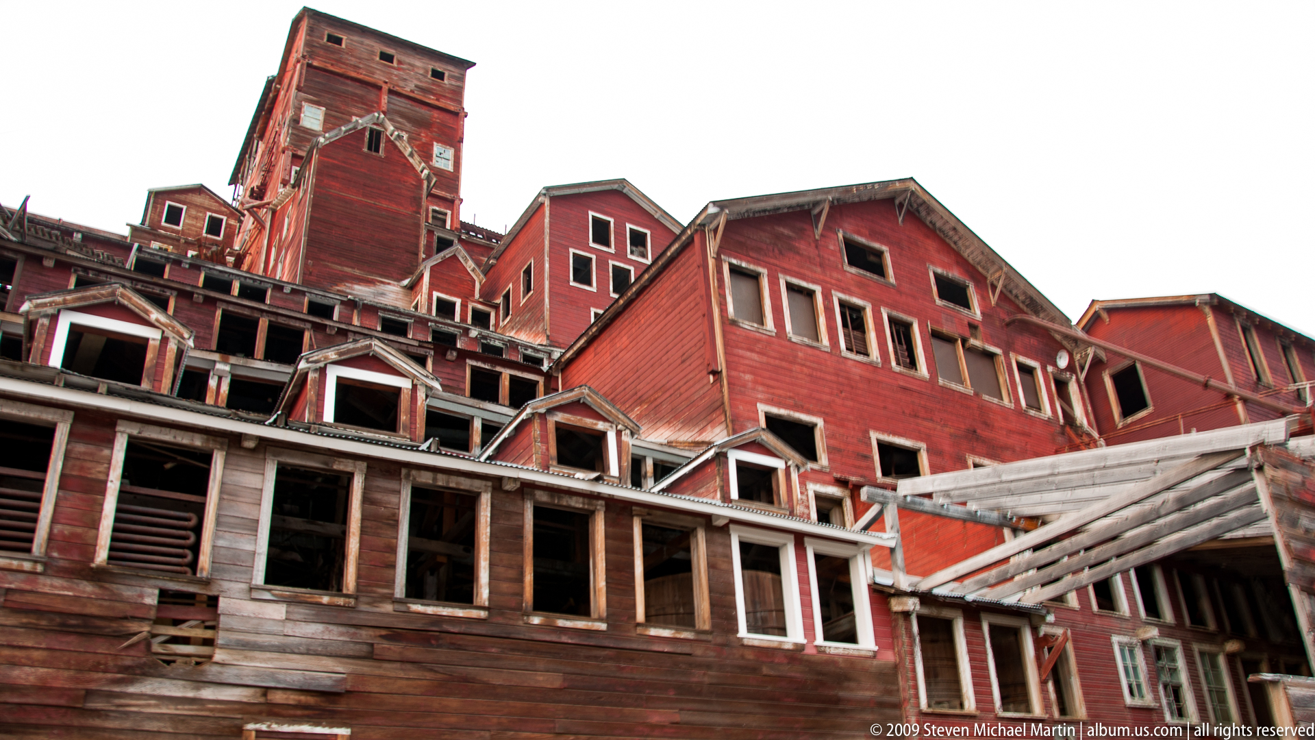
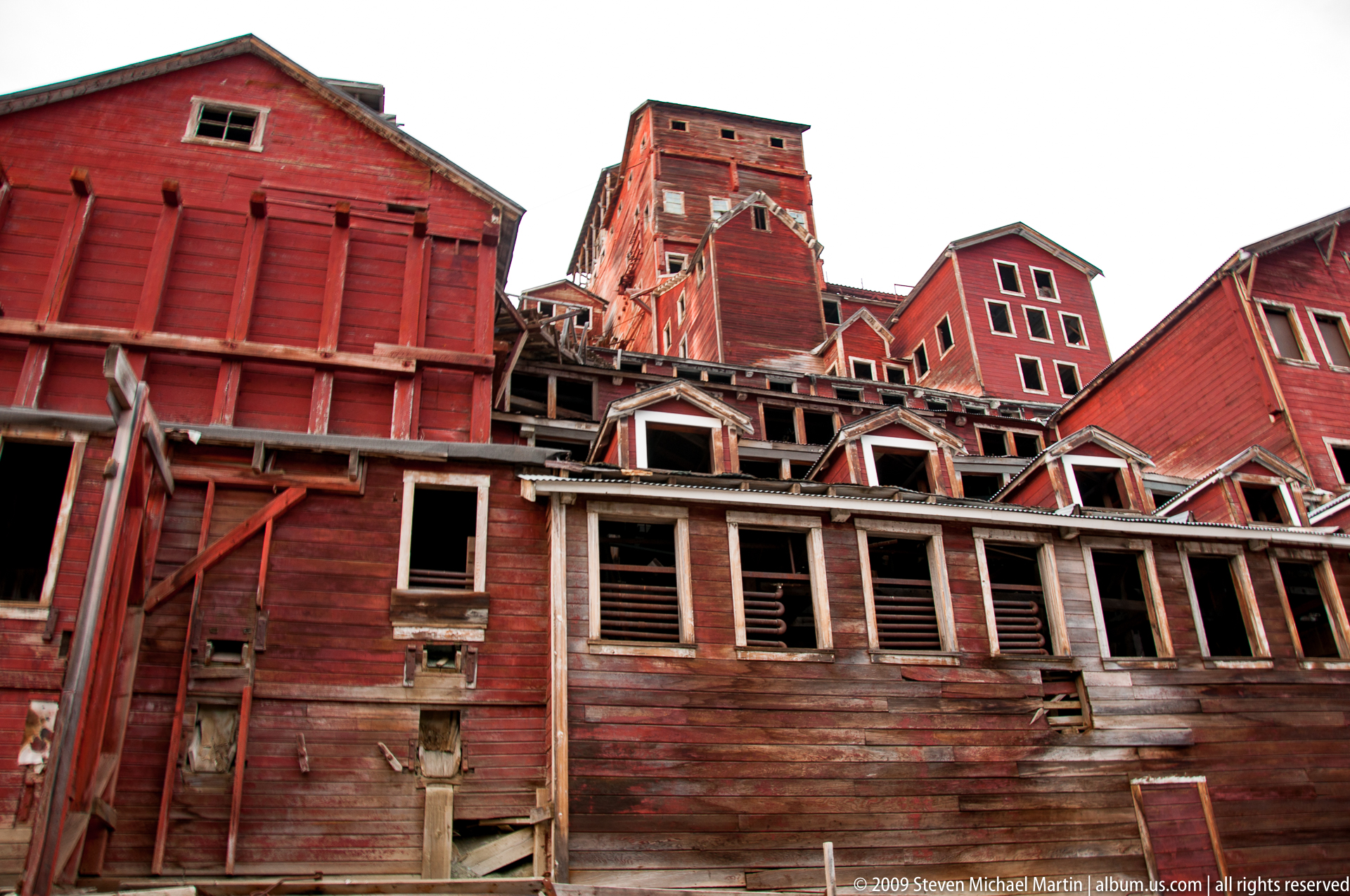
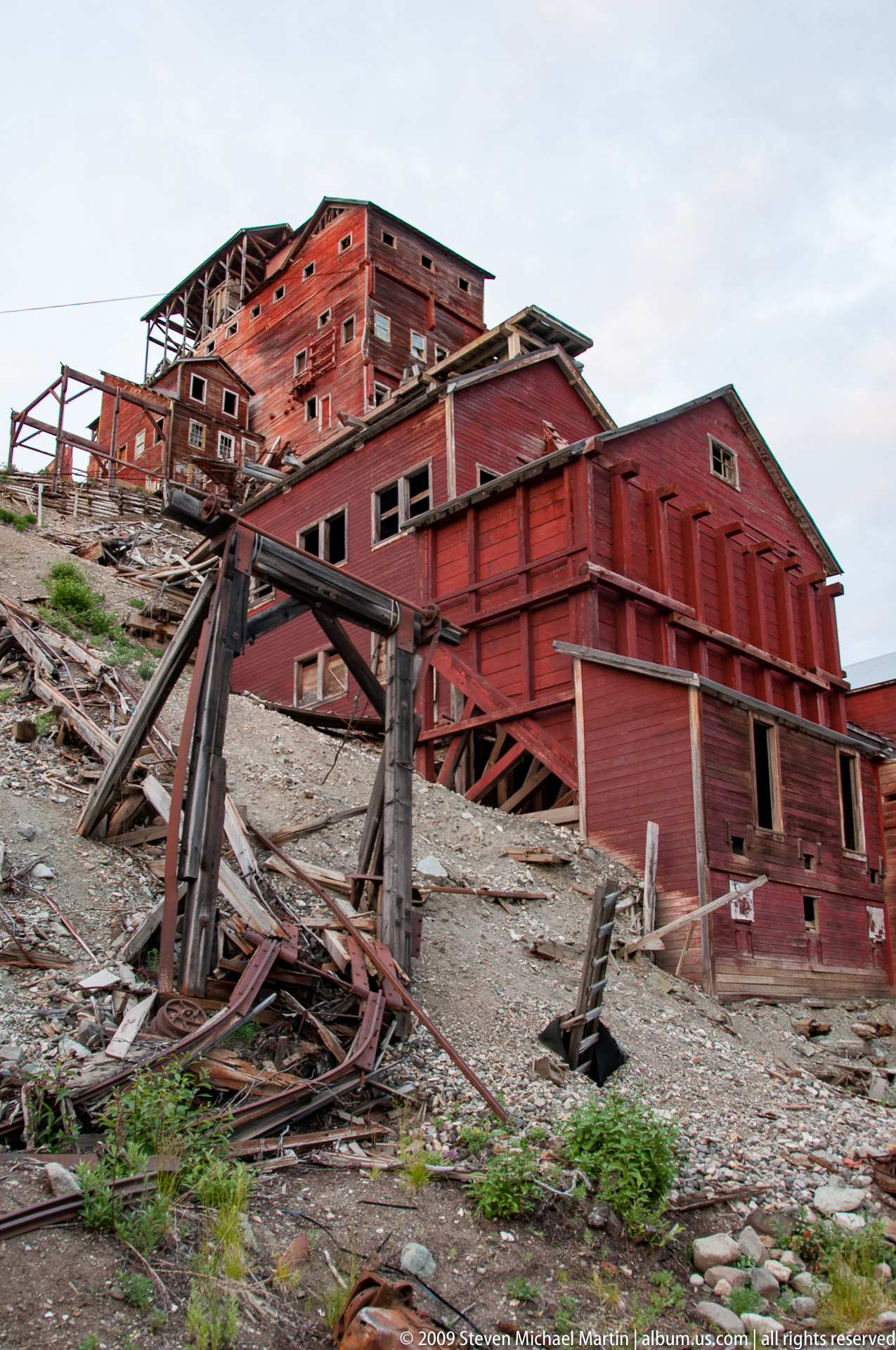
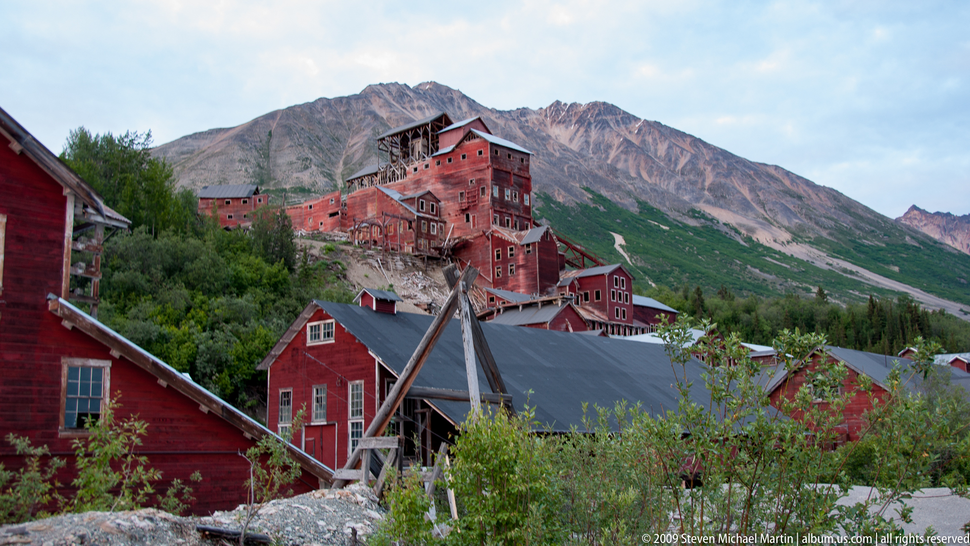
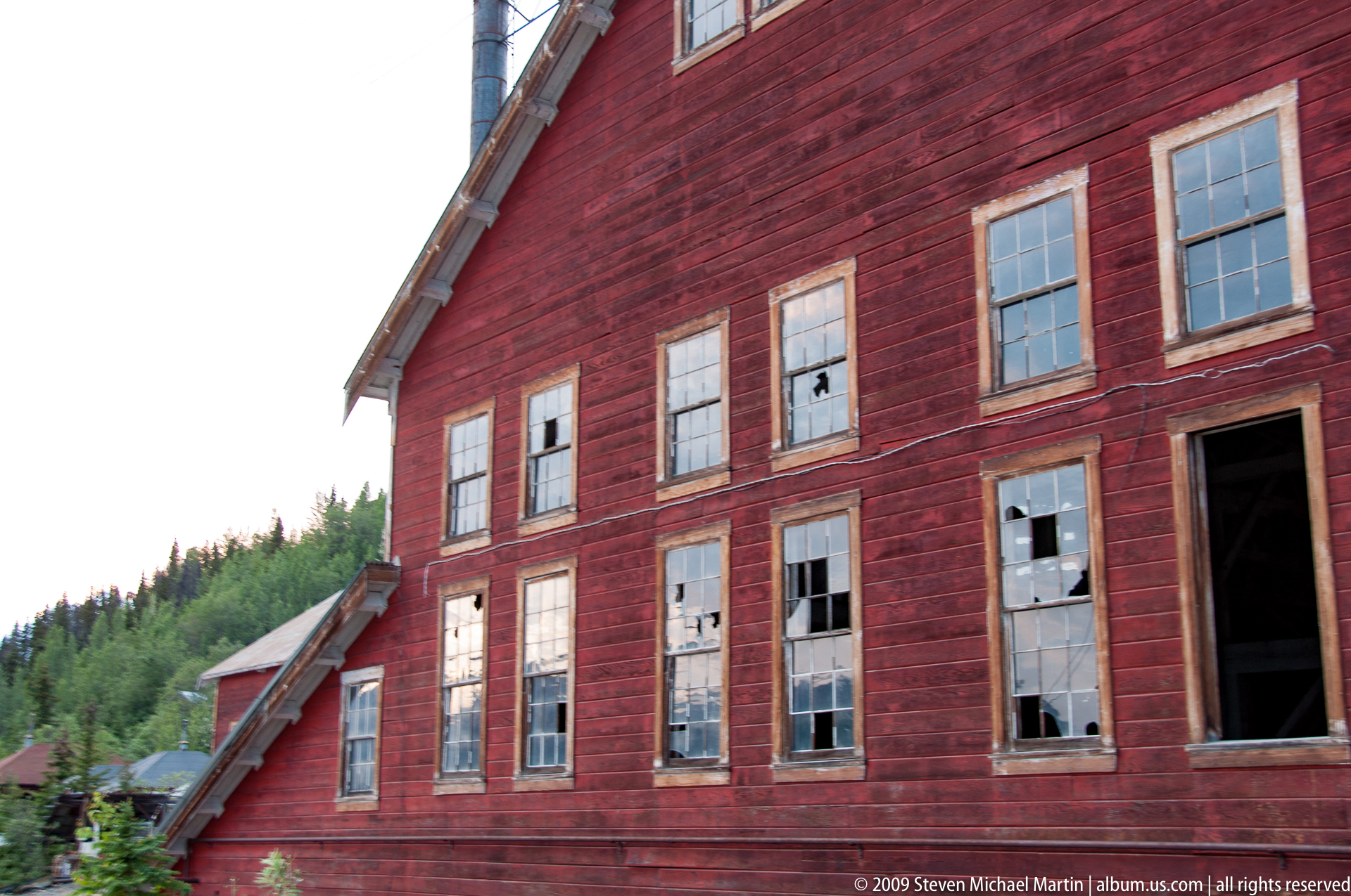
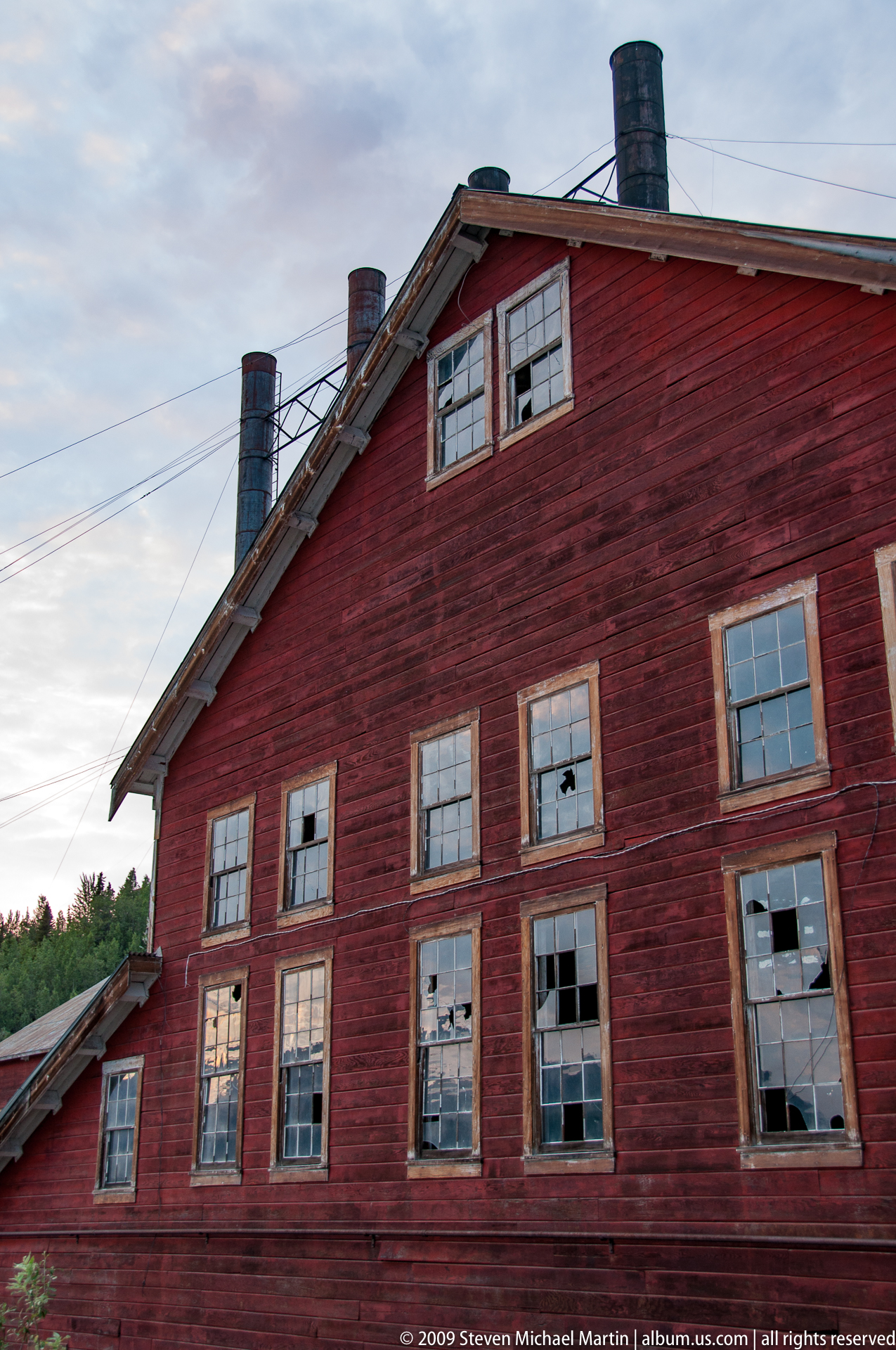
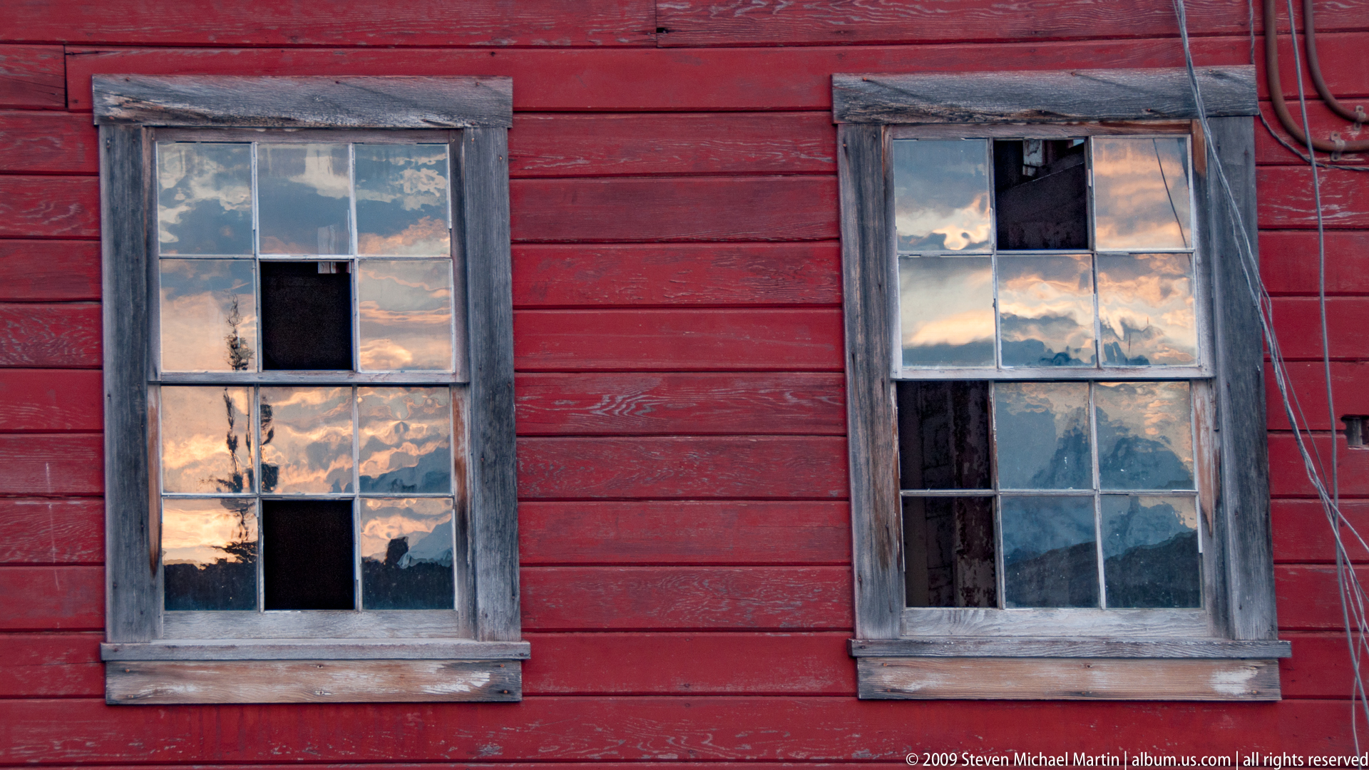
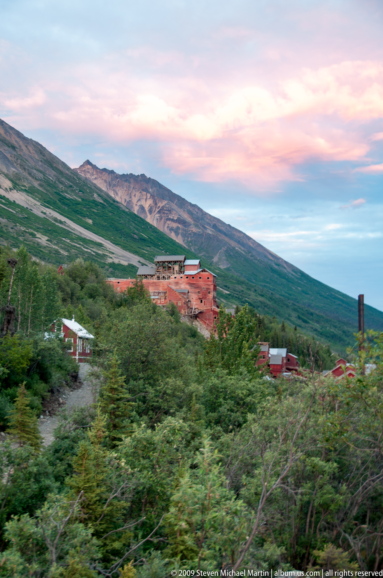
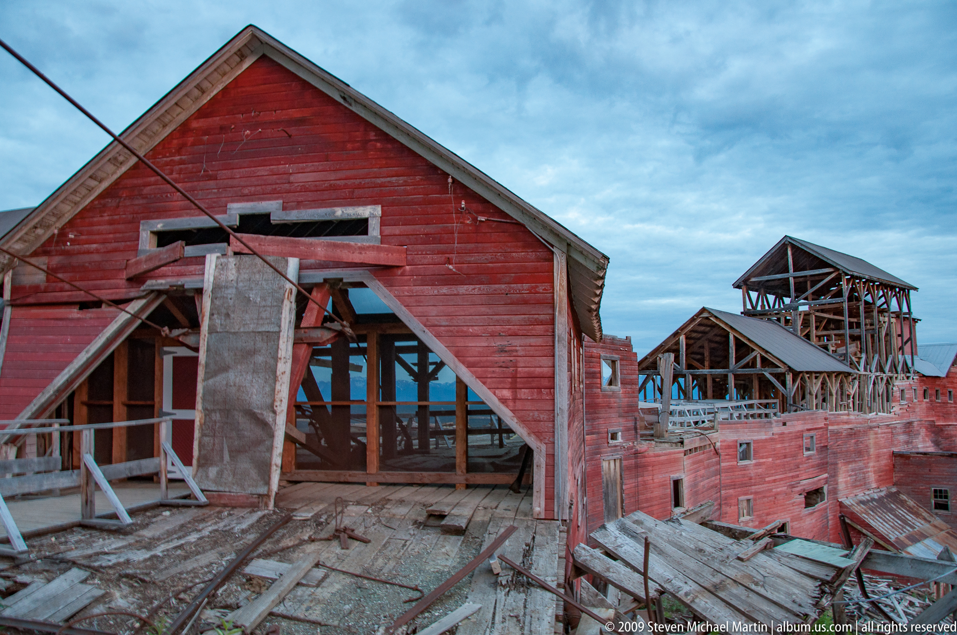
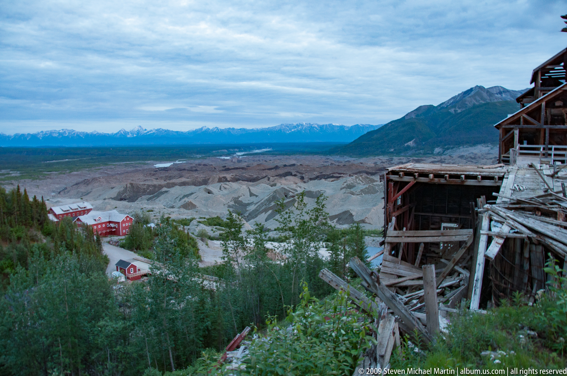
The park protects a continuum of ecosystems extending from boreal forest to high alpine environments, illustrating the relationship between elevation, climate, and vegetation patterns in subarctic regions. Glaciers flowing from high ice fields shape braided rivers and outwash plains, while volcanic peaks such as Mount Wrangell demonstrate the continuing influence of geologic forces on landscape formation. Historic sites including the Kennicott mining district reflect early twentieth-century industrial development in remote mountain environments, where transportation networks were constructed to access copper deposits within one of the most rugged regions of Alaska.
Wrangell–St. Elias contributes to understanding large-scale geological processes associated with mountain building, volcanism, and glacial dynamics across high-latitude environments. The park forms part of an international system of protected lands extending into Canada, preserving one of the most extensive continuous wilderness regions on Earth. Its scale and ecological continuity provide insight into long-term environmental change and support ongoing research related to climate patterns, glacier behavior, and alpine ecosystems across the northern Pacific region.
Field Guide
Location: Southeastern Alaska near the Canadian border
Designation: National Park and Preserve
Established: 1980
Primary Landscapes: Glaciers, volcanic mountains, alpine tundra, river valleys, boreal forest
Geologic Features: Active volcanoes, tectonic uplift, extensive ice fields, glacial valleys
Notable Peaks: Mount Saint Elias, Mount Wrangell, Mount Blackburn
Hydrology: Copper River watershed and glacial river systems
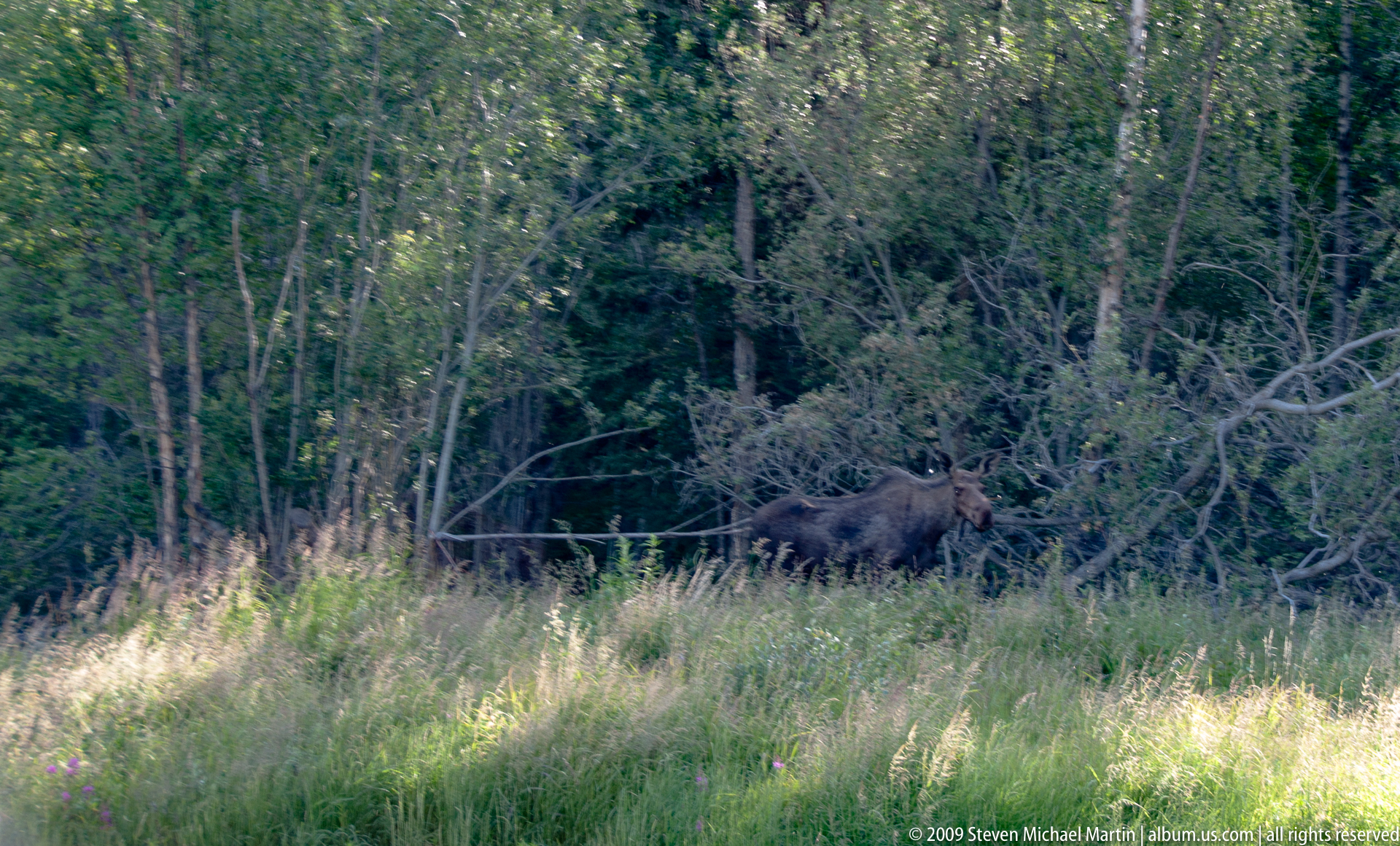
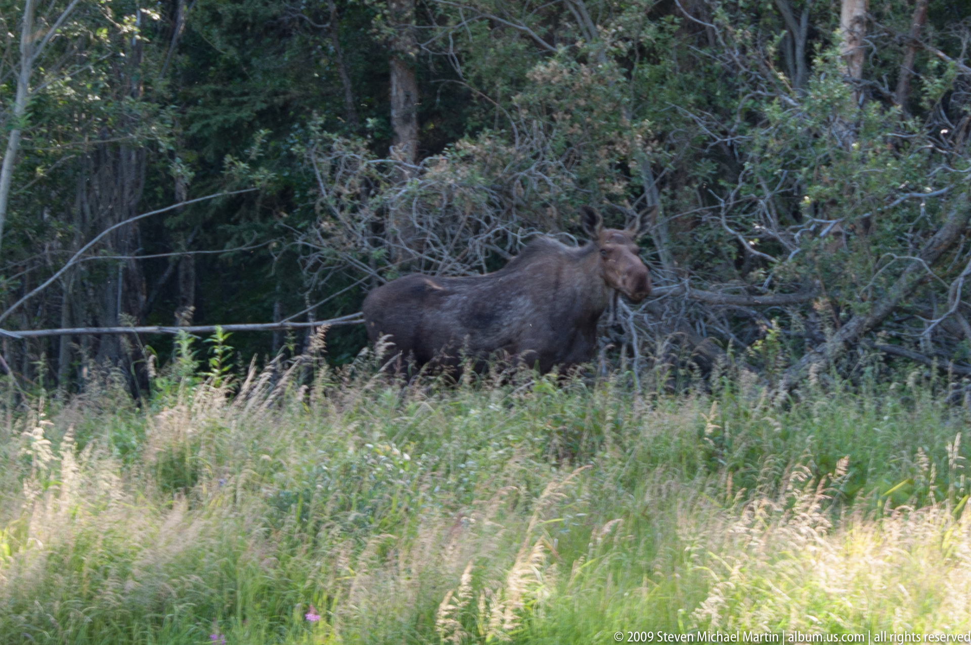
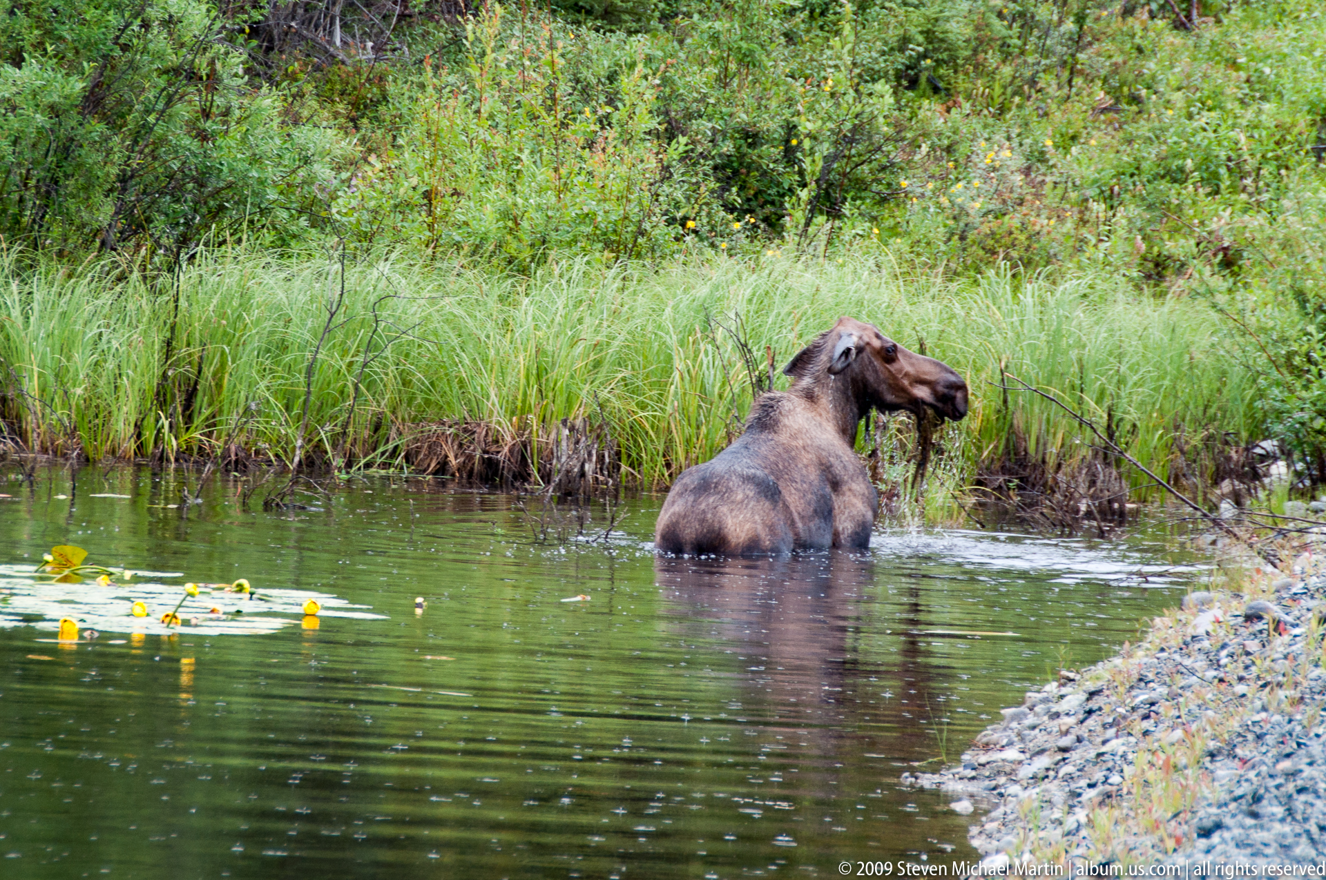
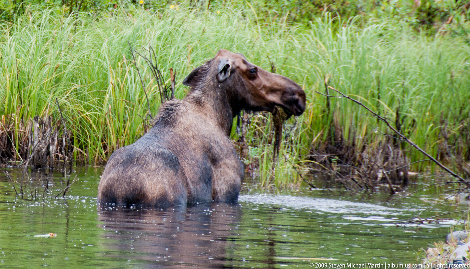
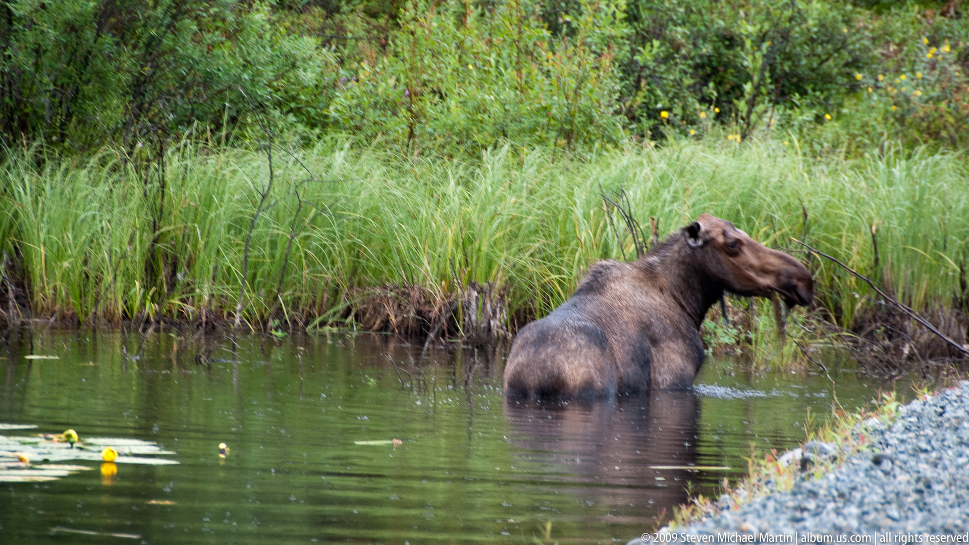
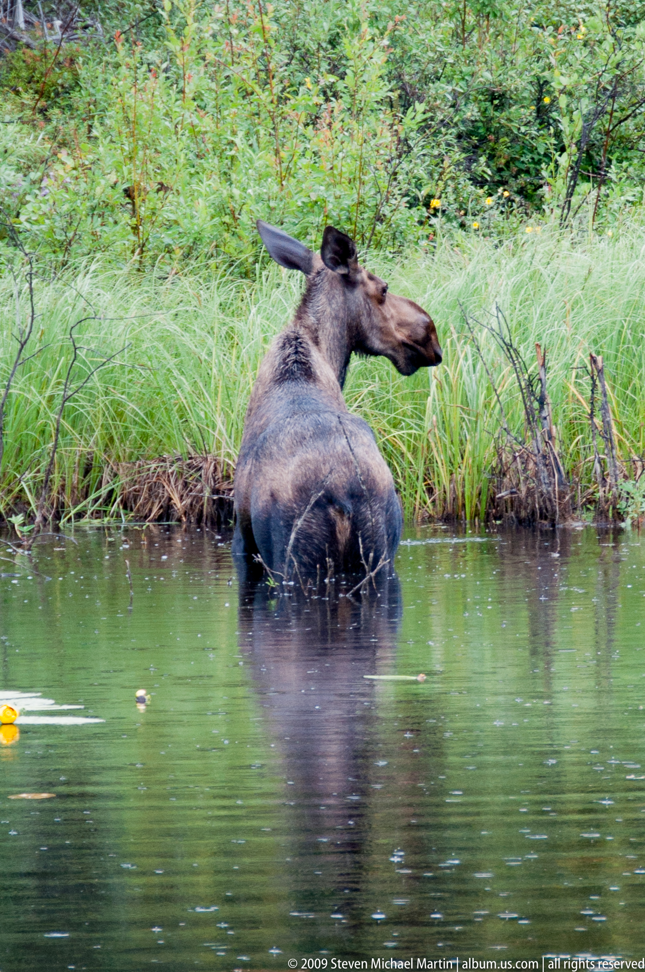
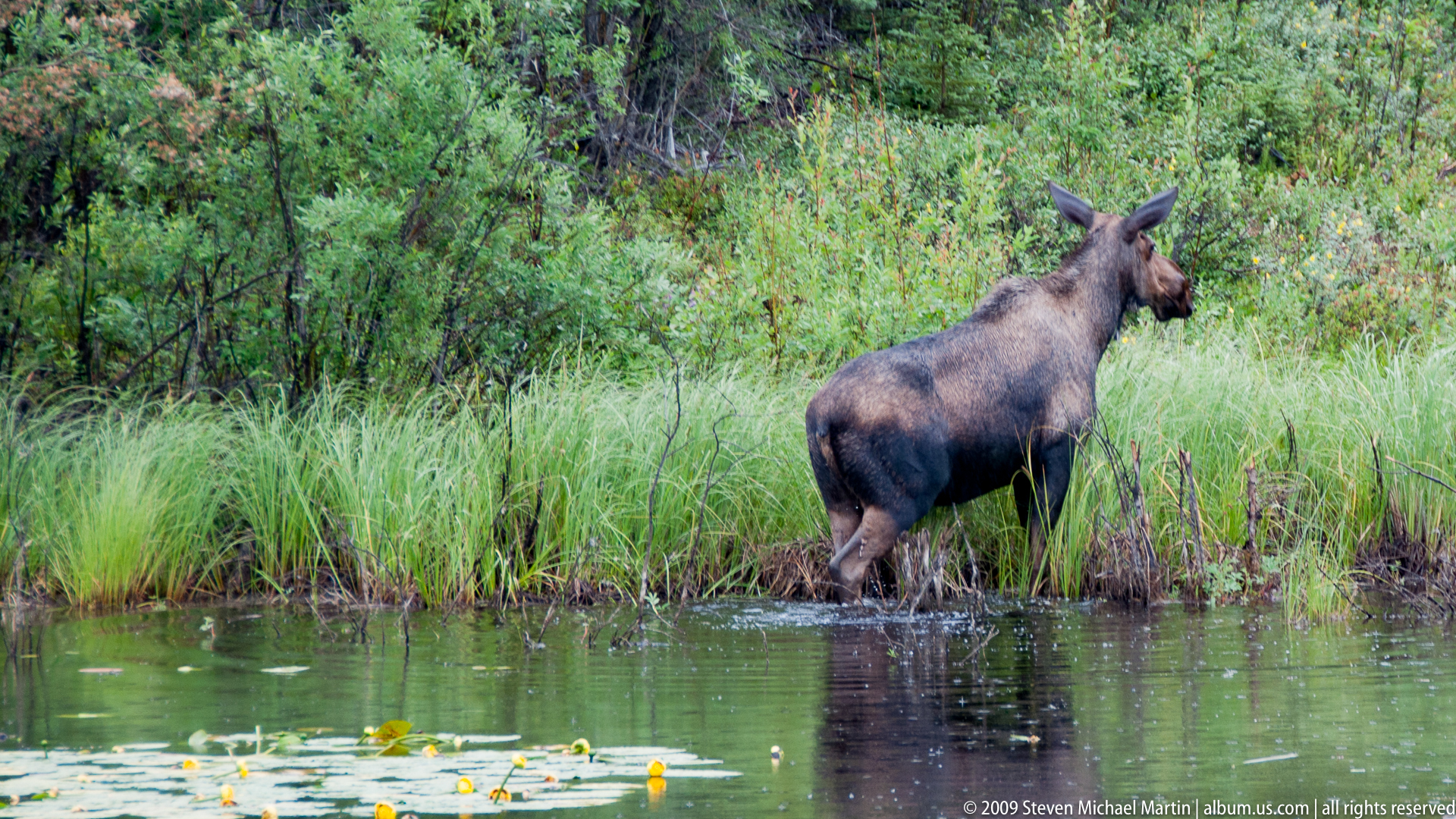
Wildlife: Dall sheep, grizzly bear, black bear, moose, caribou, wolf
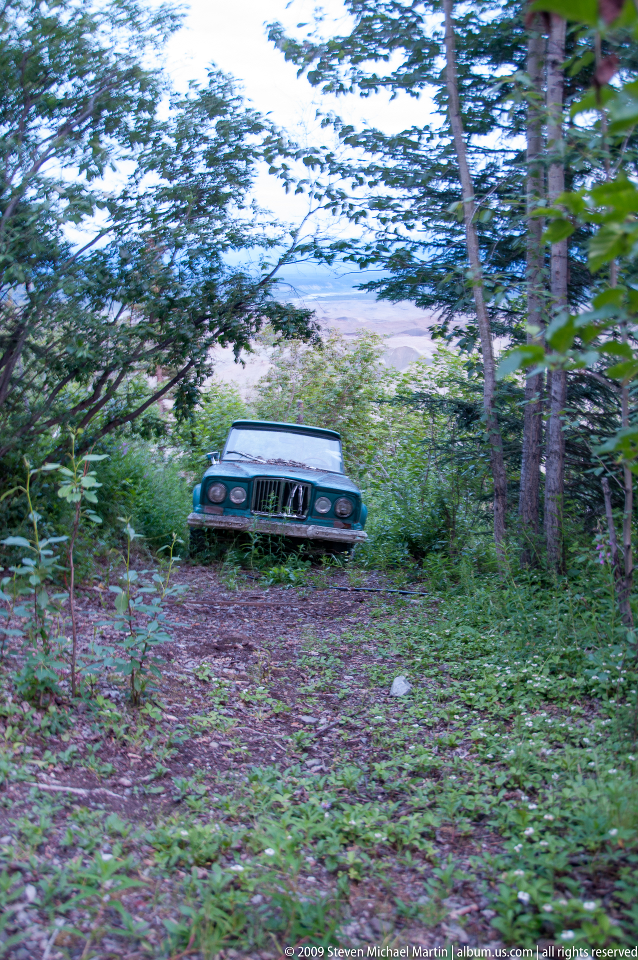
Historic Features: Kennicott mining district
UNESCO Status: Part of the Kluane / Wrangell–St. Elias / Glacier Bay / Tatshenshini-Alsek World Heritage Site
Highlights
- One of the largest protected wilderness areas in the world
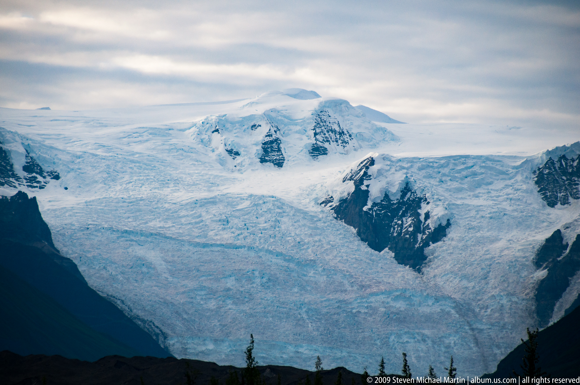
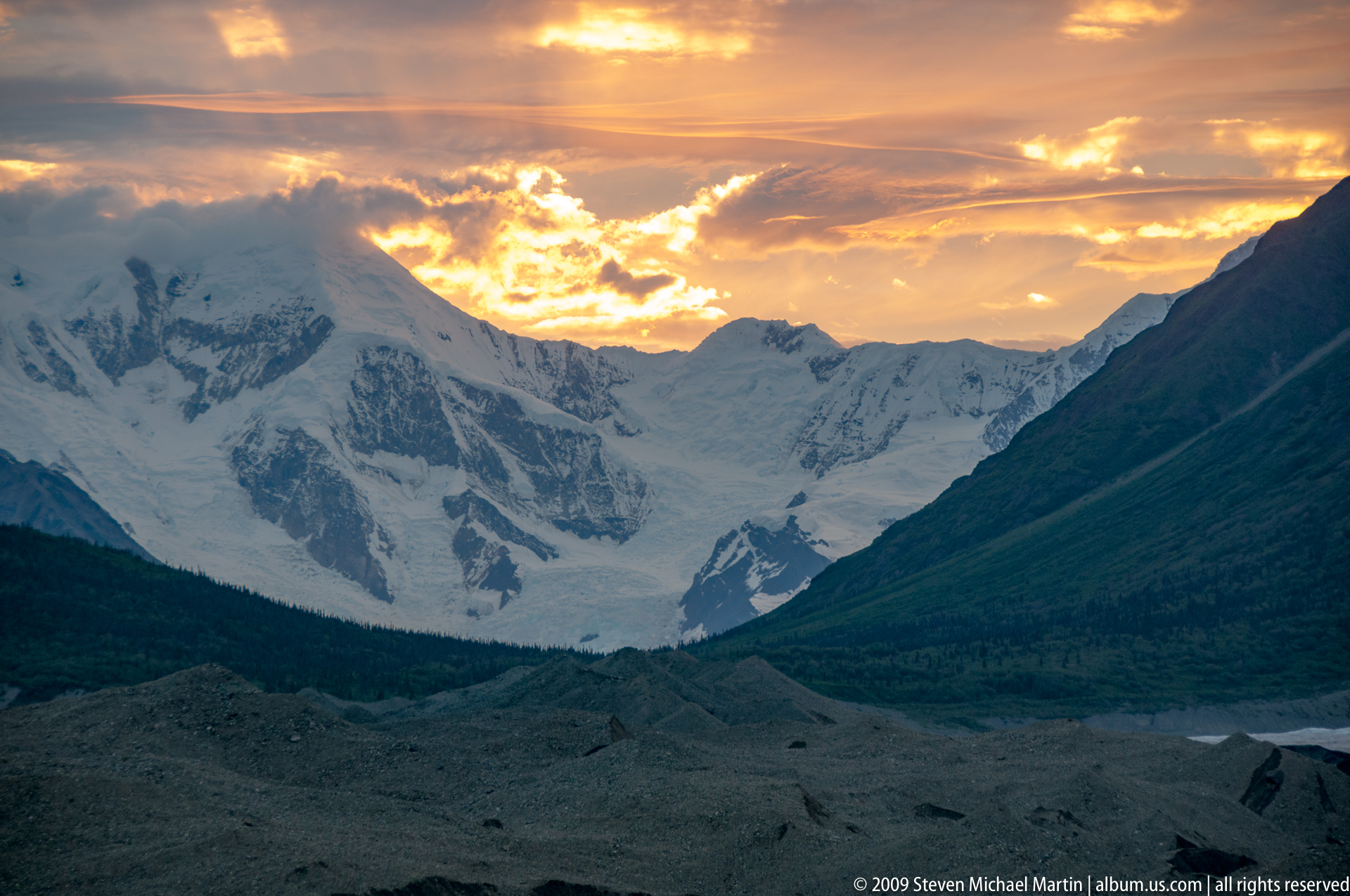
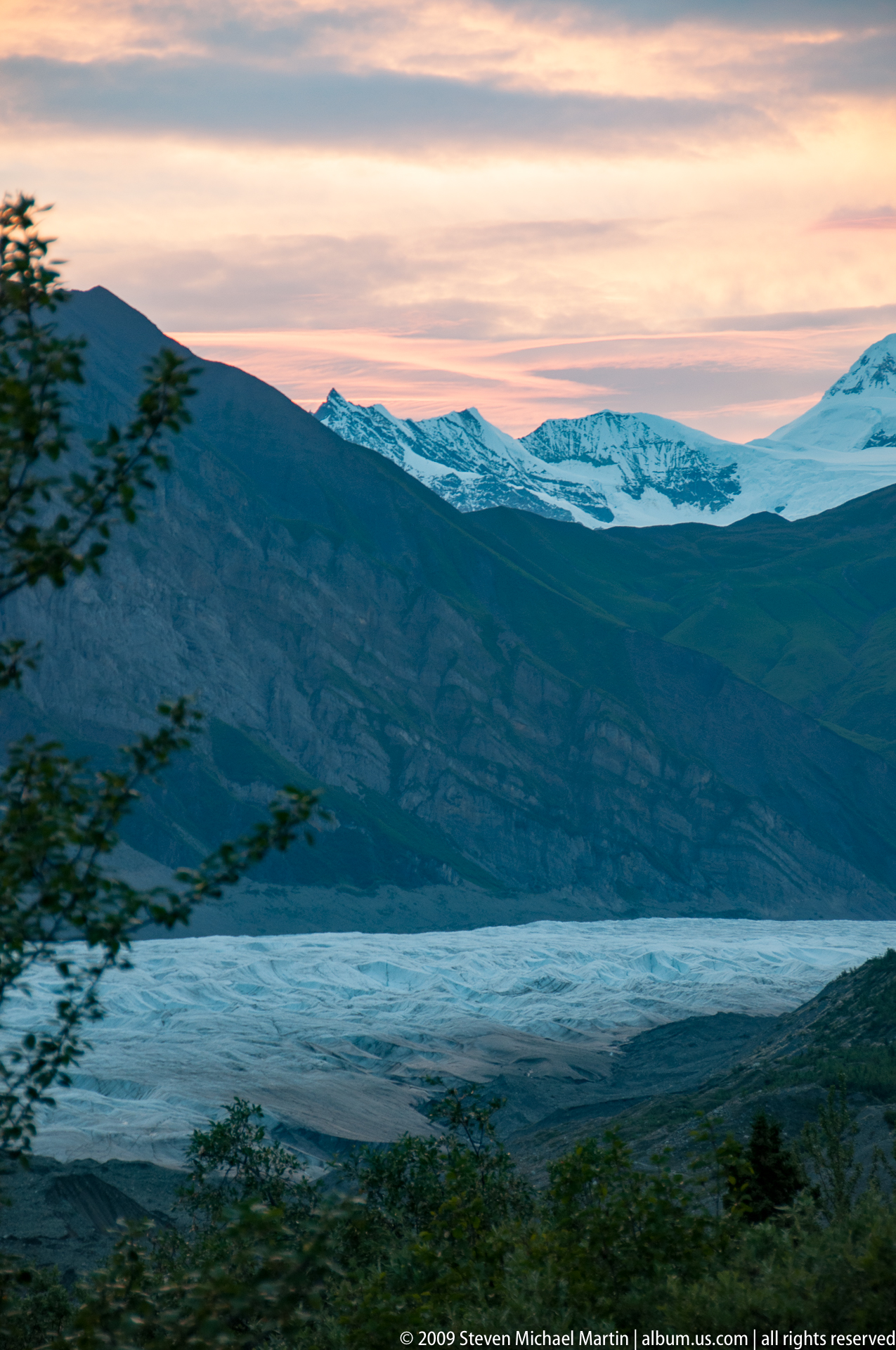
- Extensive glacial systems shaping active mountain landscapes
- Historic copper mining structures preserved at Kennicott
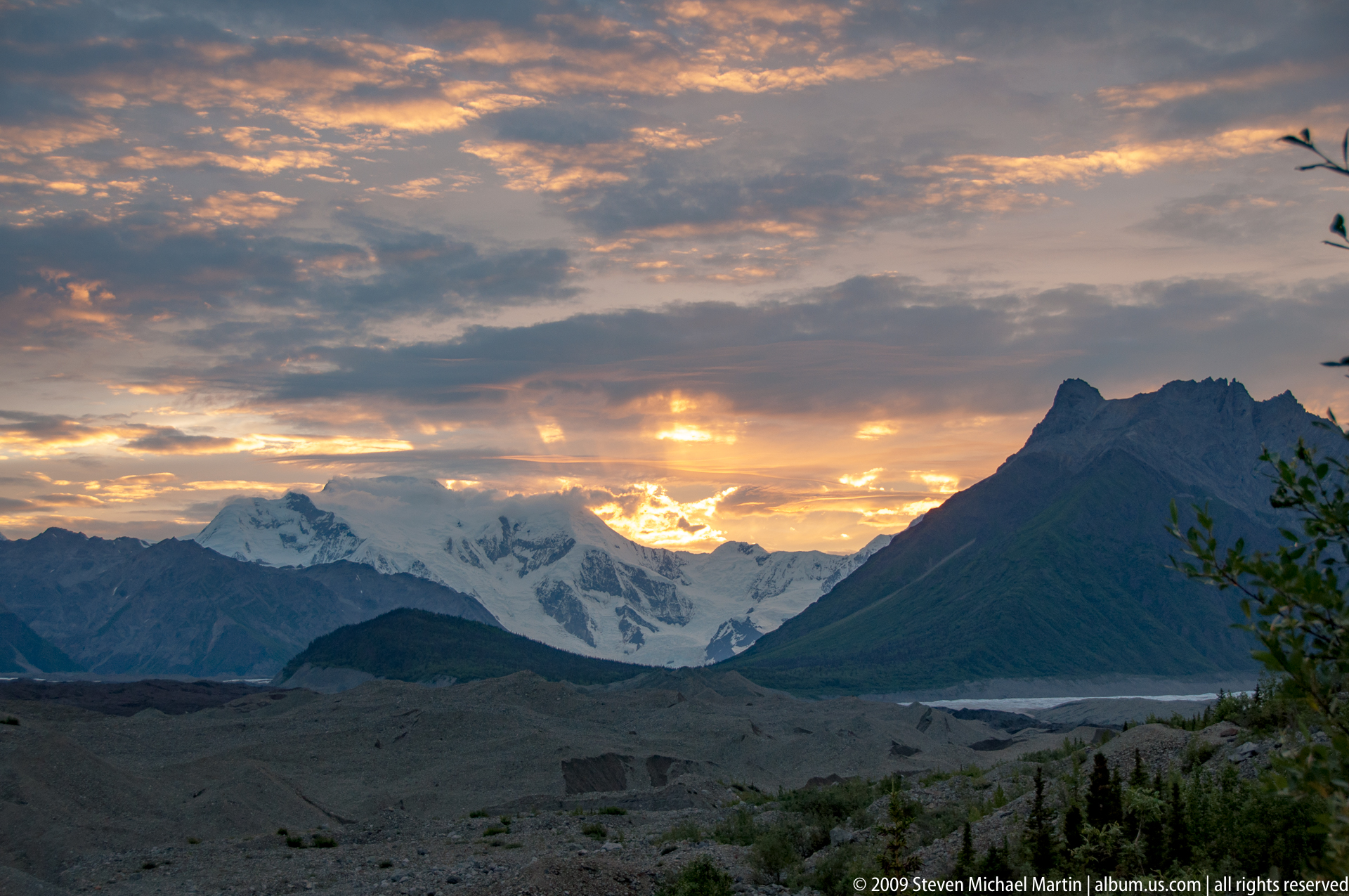
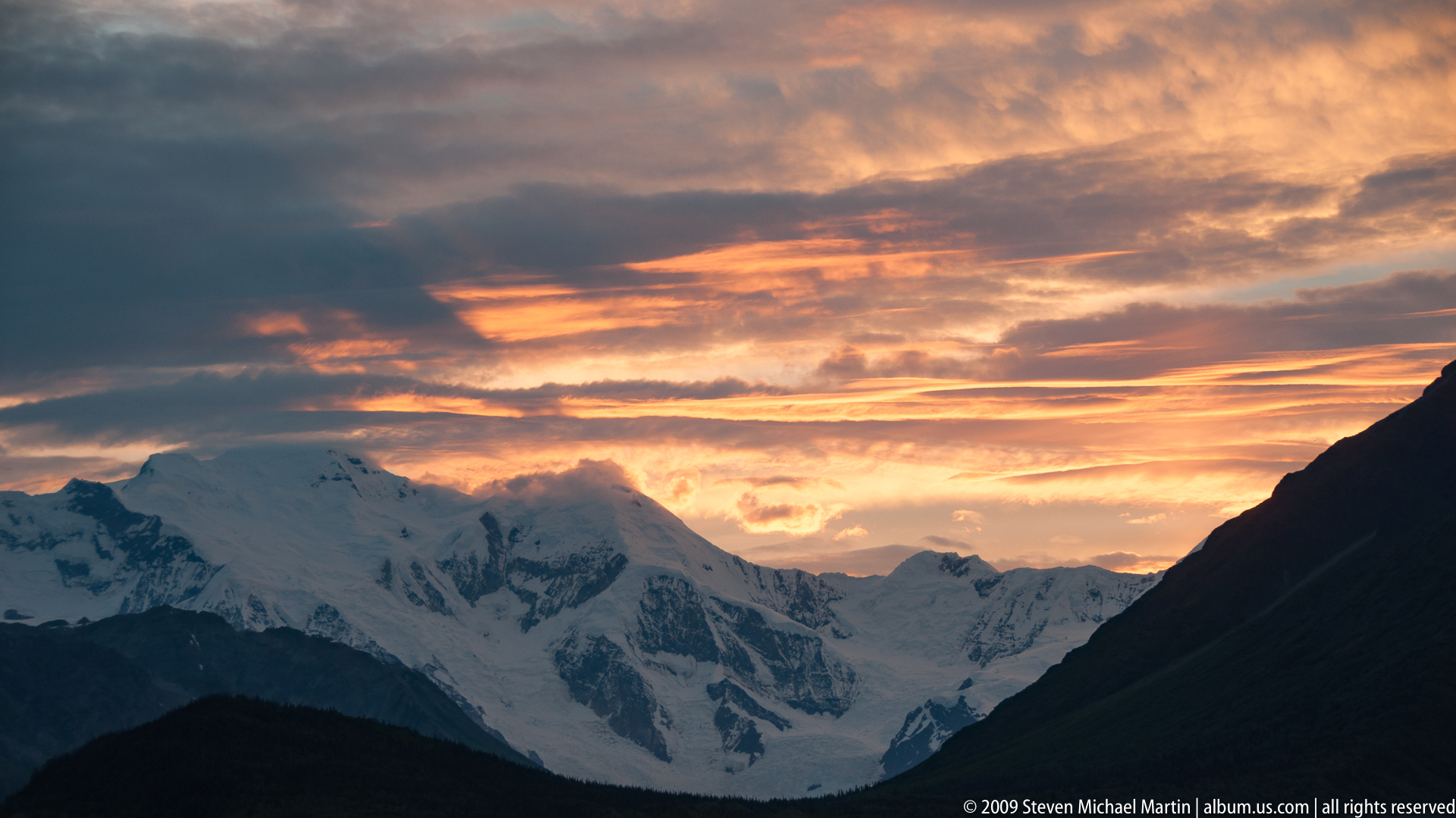
- Volcanic peaks rising above broad glacial valleys
- Continuum of ecosystems from forest to alpine tundra
Notable Encounters
- Dall sheep navigating steep alpine slopes
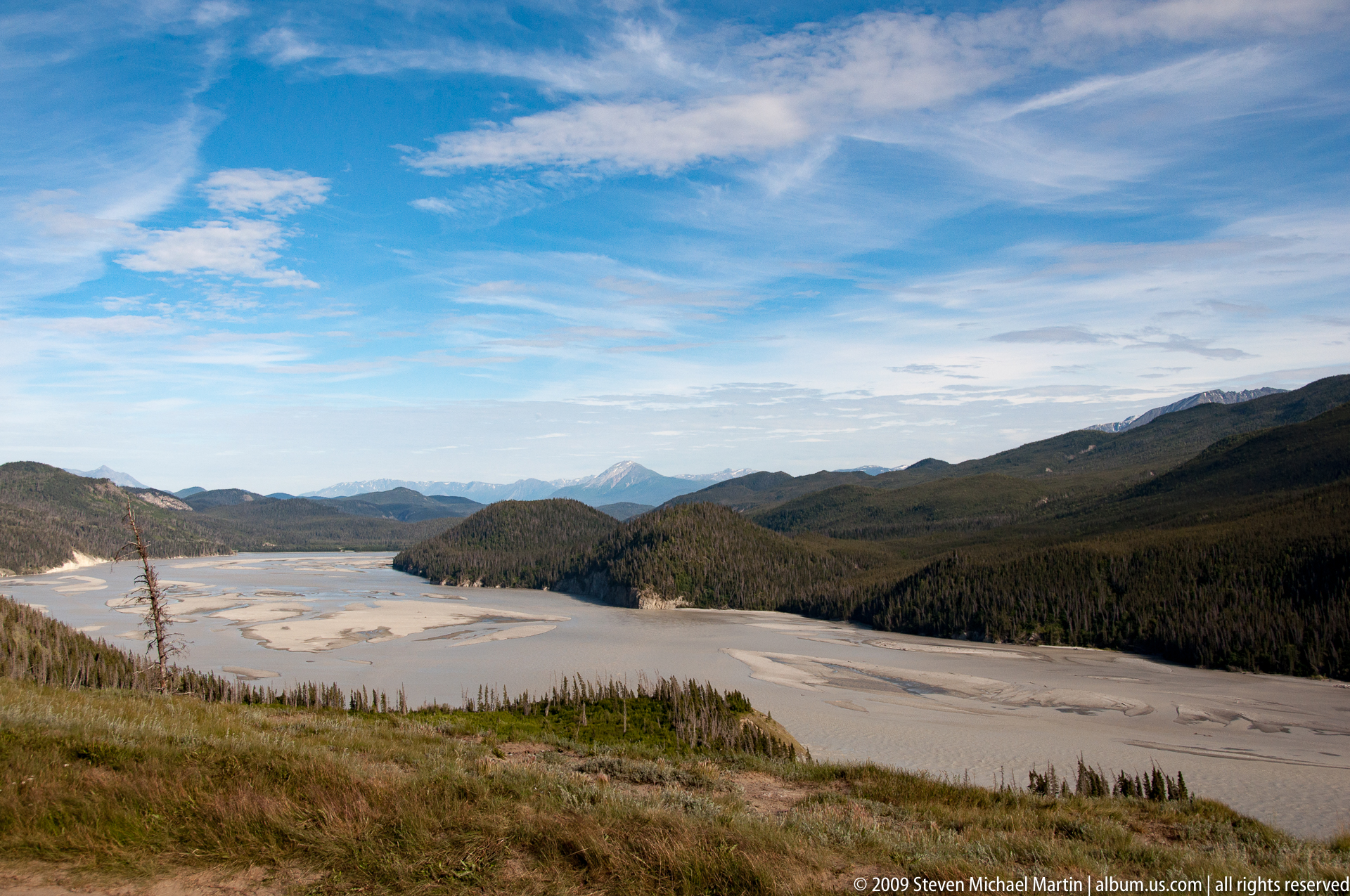
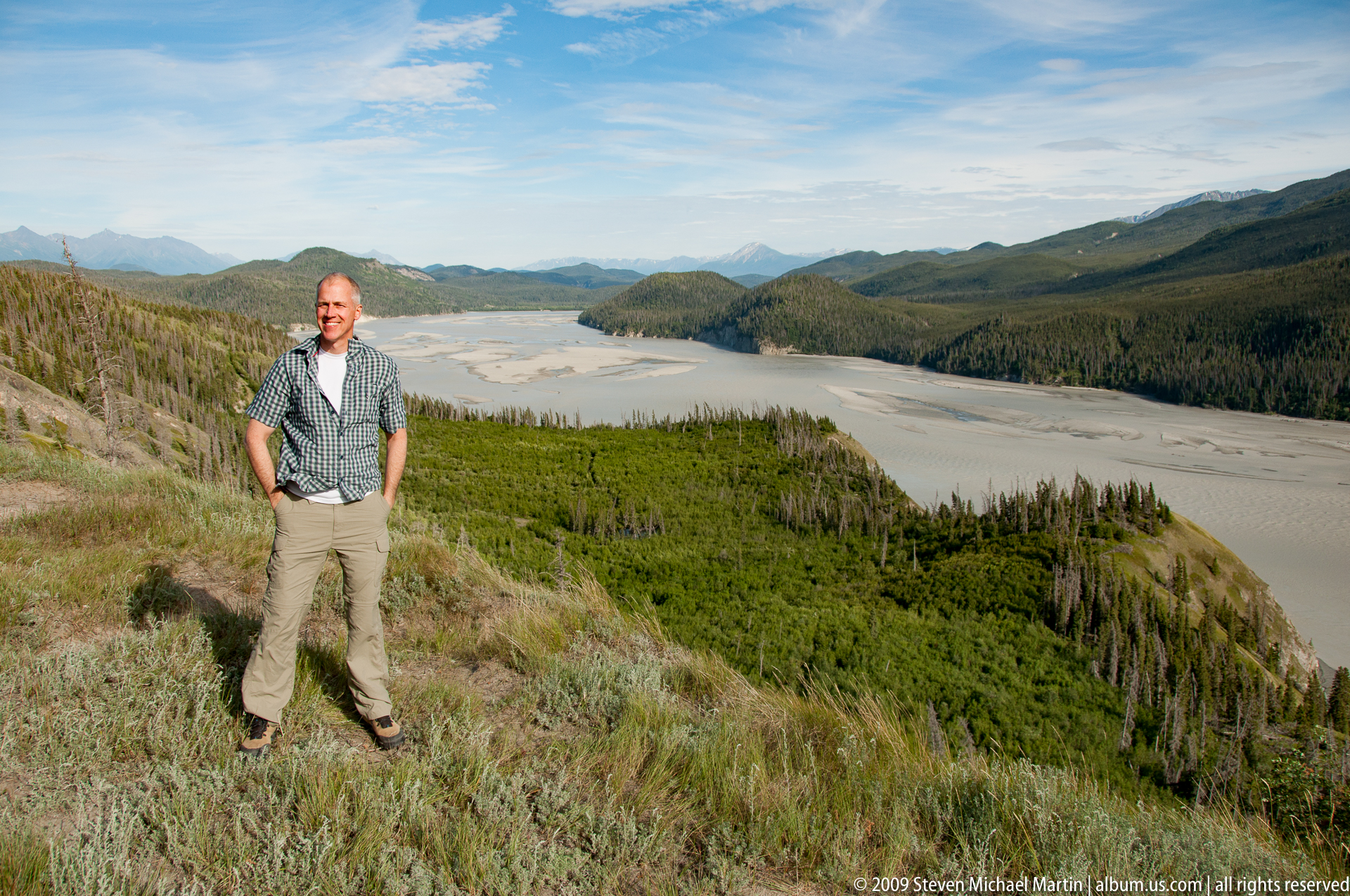
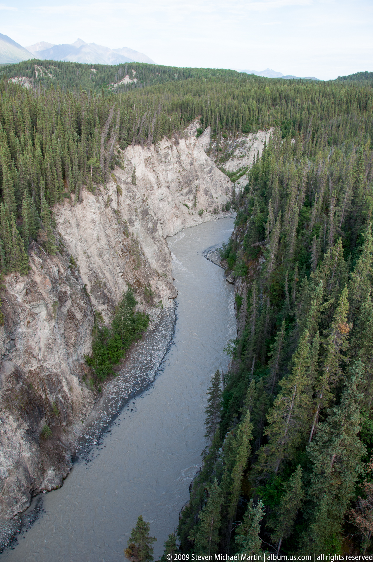
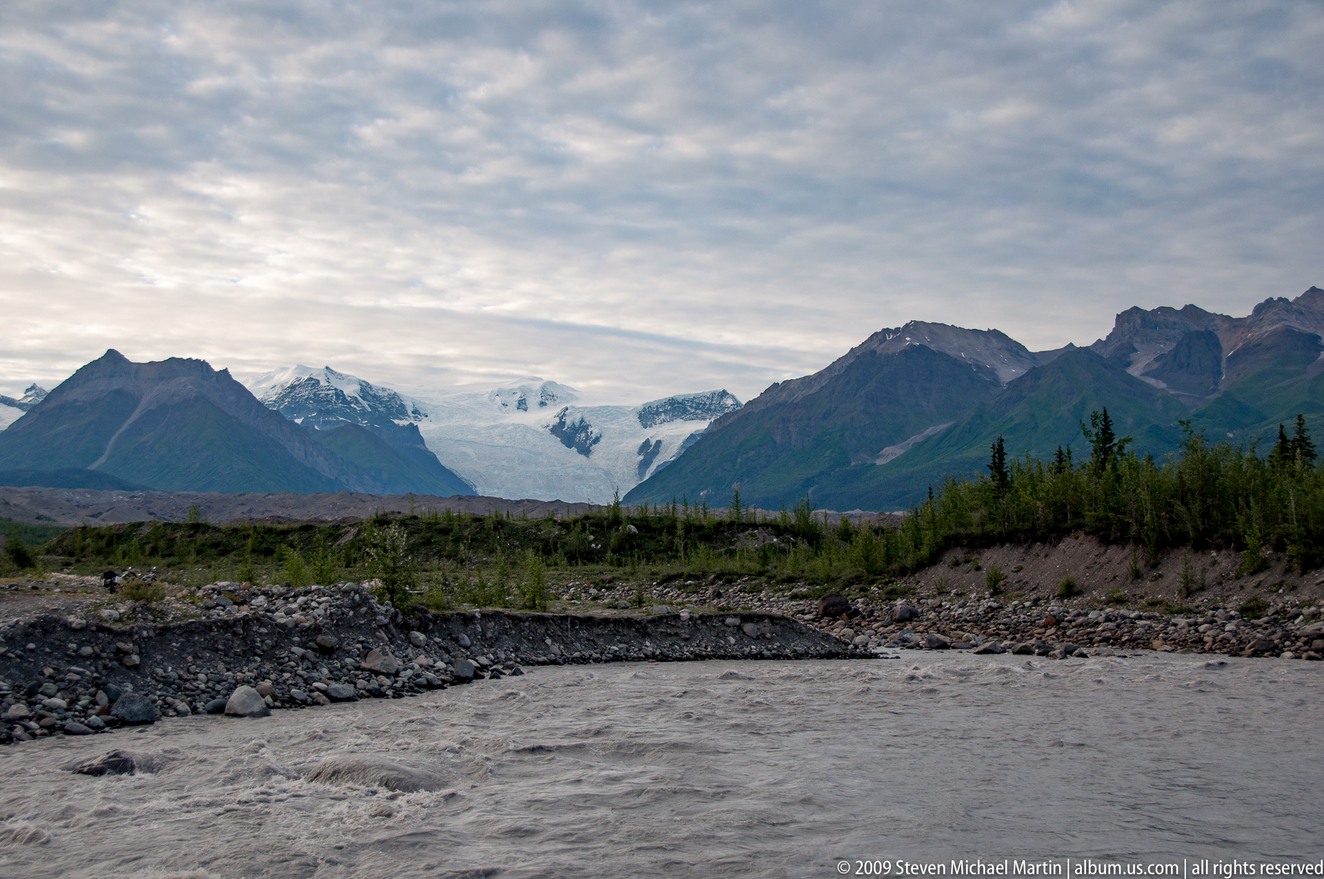
- Glacial rivers carrying sediment through broad valleys
- Views of ice fields extending across multiple mountain ranges
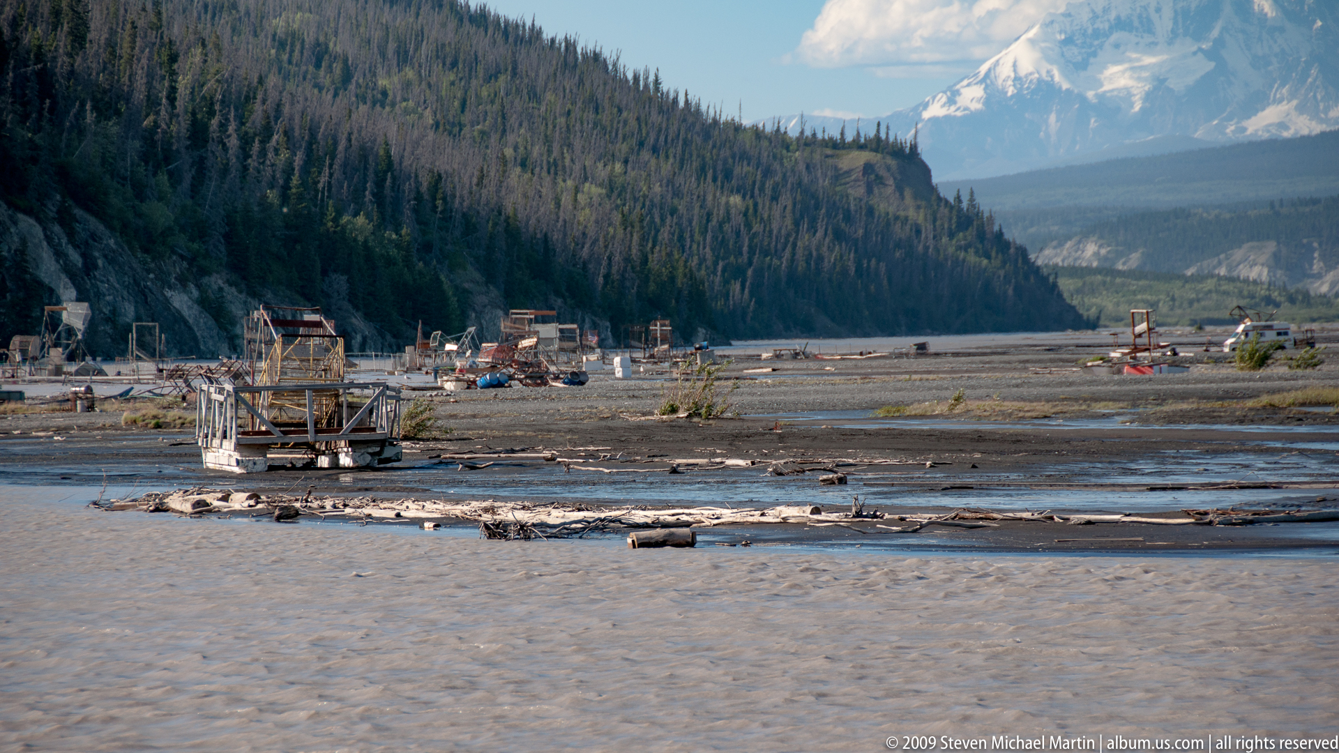
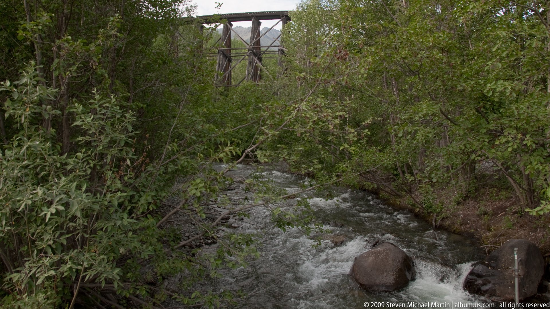
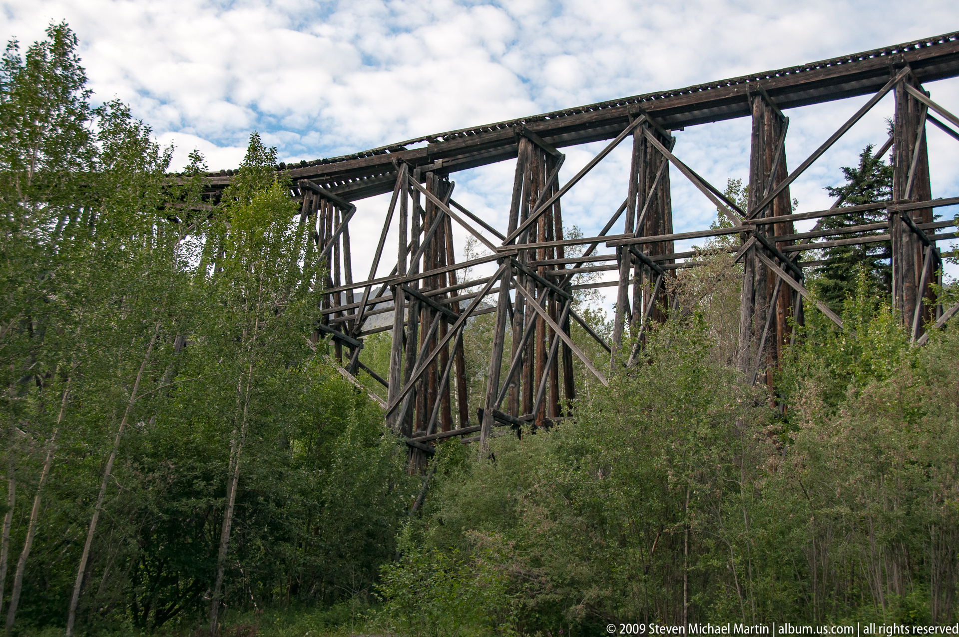
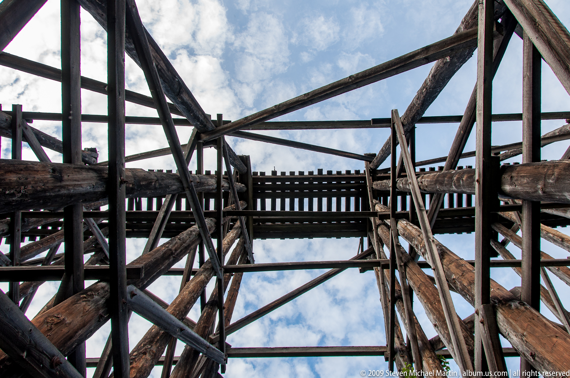
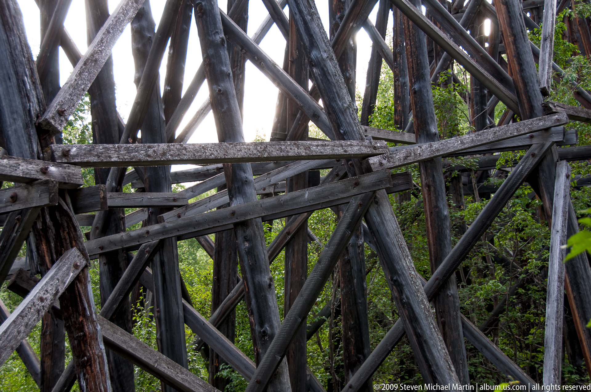
- Historic mining structures situated within remote terrain
- Changing weather patterns moving across high mountain ridges
Photography Notes
- Mountain peaks often appear most clearly during early morning hours
- Glacial landscapes benefit from side lighting that reveals surface texture
- Weather conditions can change rapidly in high elevation environments
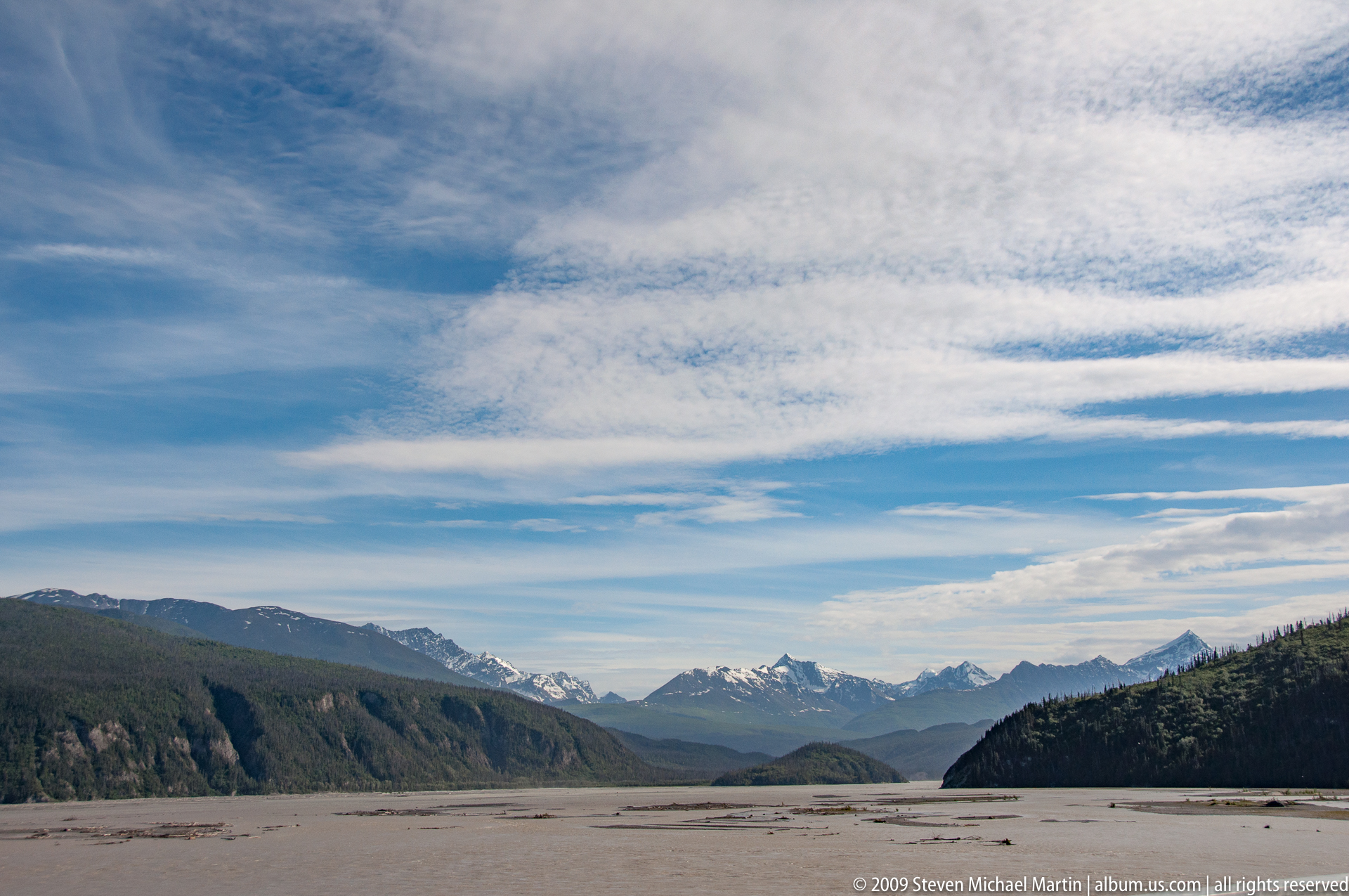
- Wide-angle compositions help convey the scale of mountain ranges
- Layered ridgelines create atmospheric perspective in clear conditions
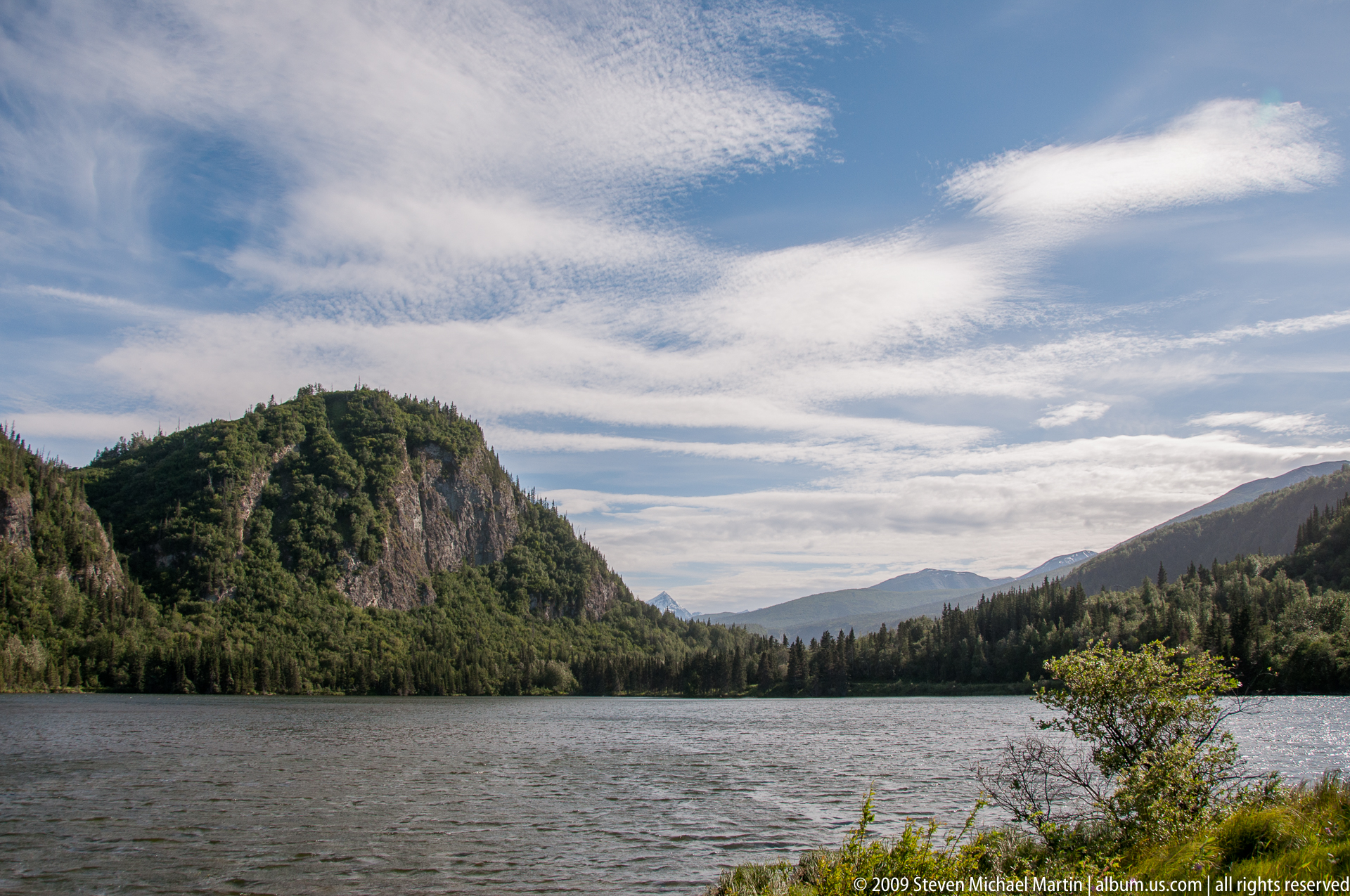
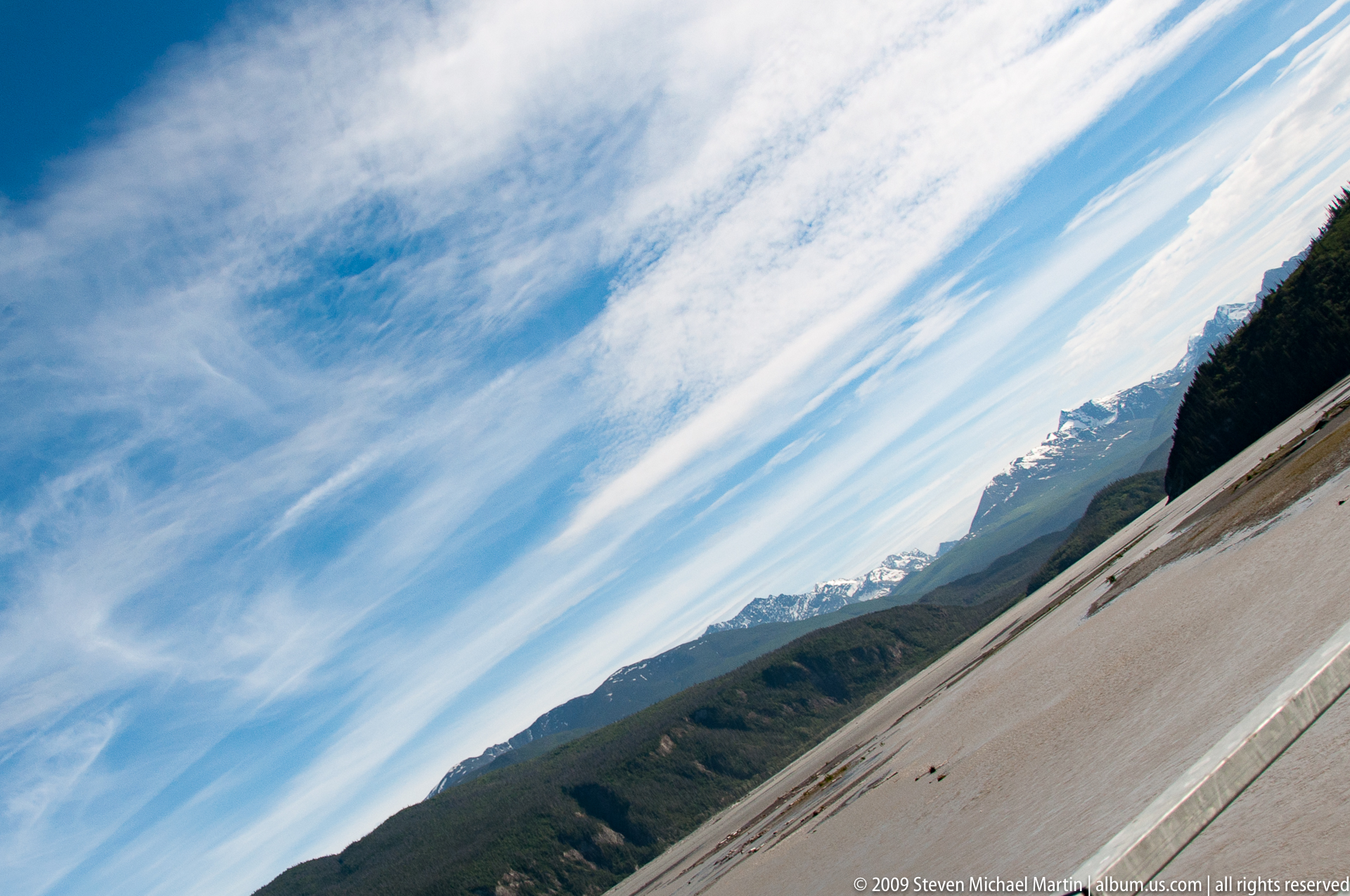
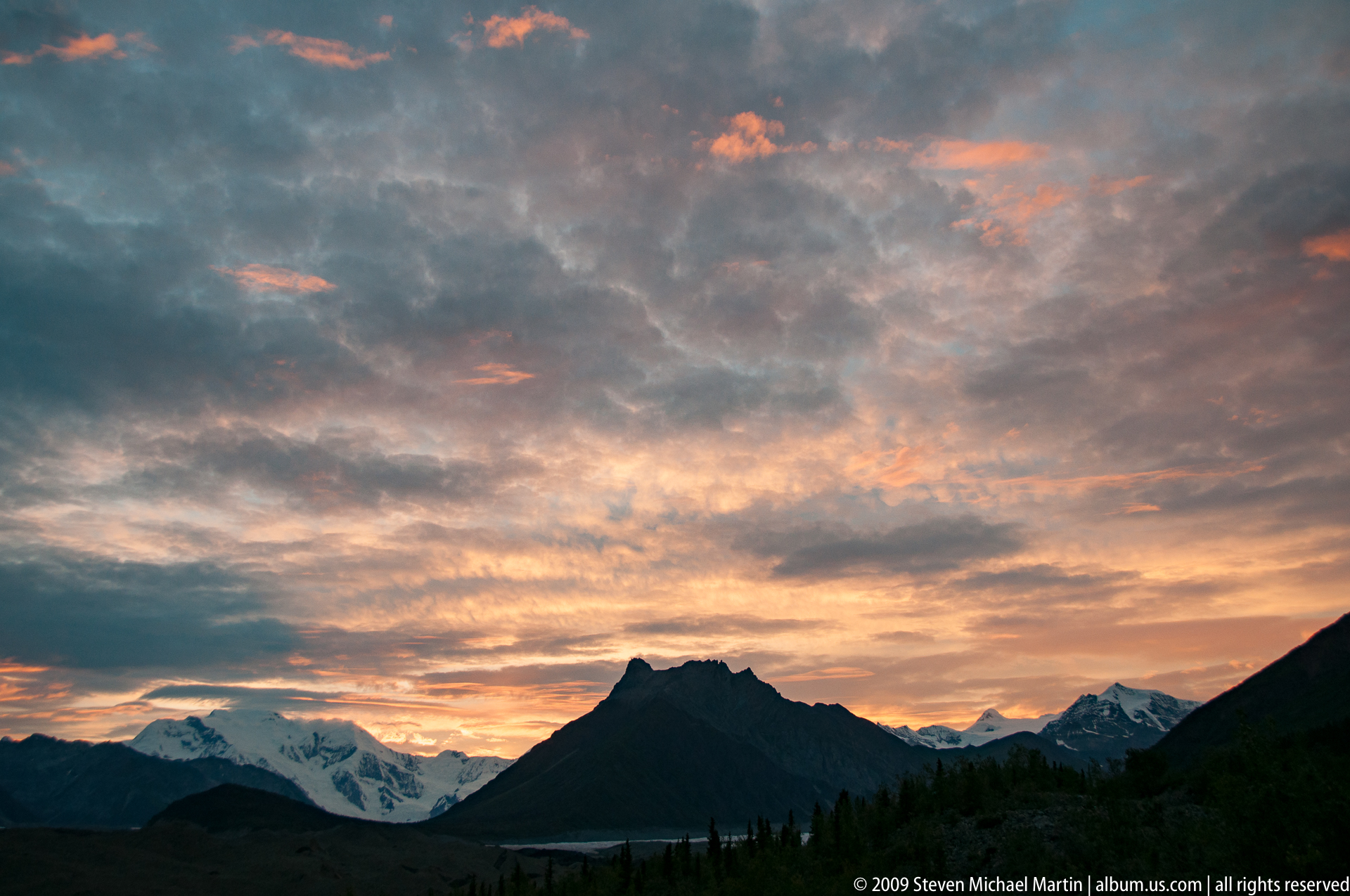
- Cloud movement can add visual structure to alpine compositions















Wrangell–St. Elias National Park
Wrangell–St. Elias National Park preserves one of the largest protected landscapes in the world, encompassing vast mountain ranges, active volcanoes, massive glaciers, and extensive river valleys shaped by tectonic uplift and long periods of glaciation. Located in southeastern Alaska near the Canadian border, the park lies at the convergence of several major mountain systems including the Wrangell, Saint Elias, and Chugach ranges. The collision of the Pacific and North American tectonic plates continues to shape this landscape, producing some of the highest peaks and most extensive ice fields in North America. These dynamic geological processes created a complex environment of alpine tundra, boreal forest, and glacial terrain that supports diverse wildlife adapted to extreme climatic conditions.
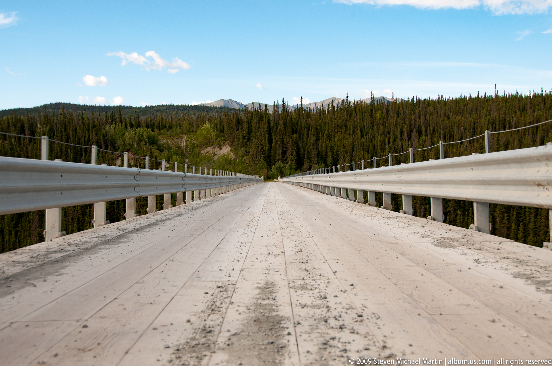
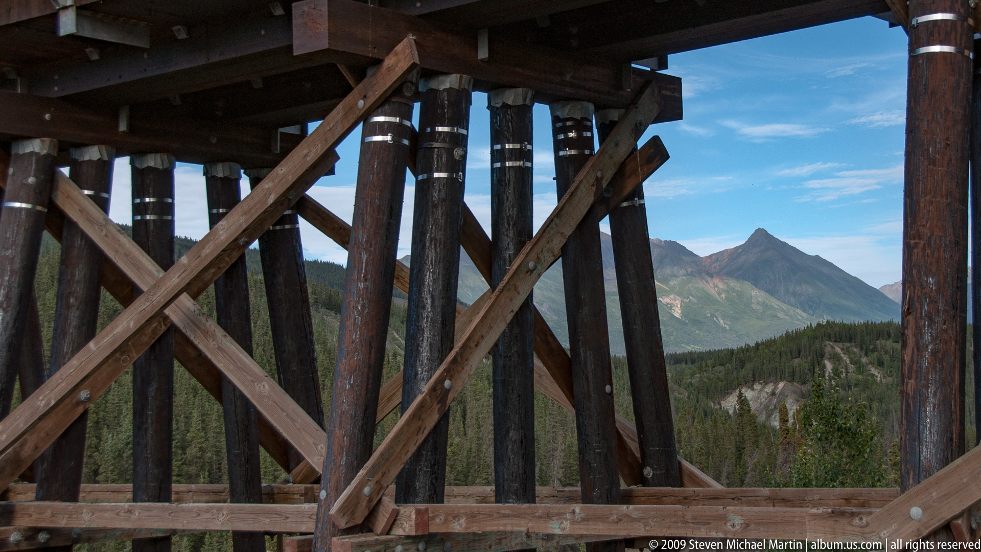
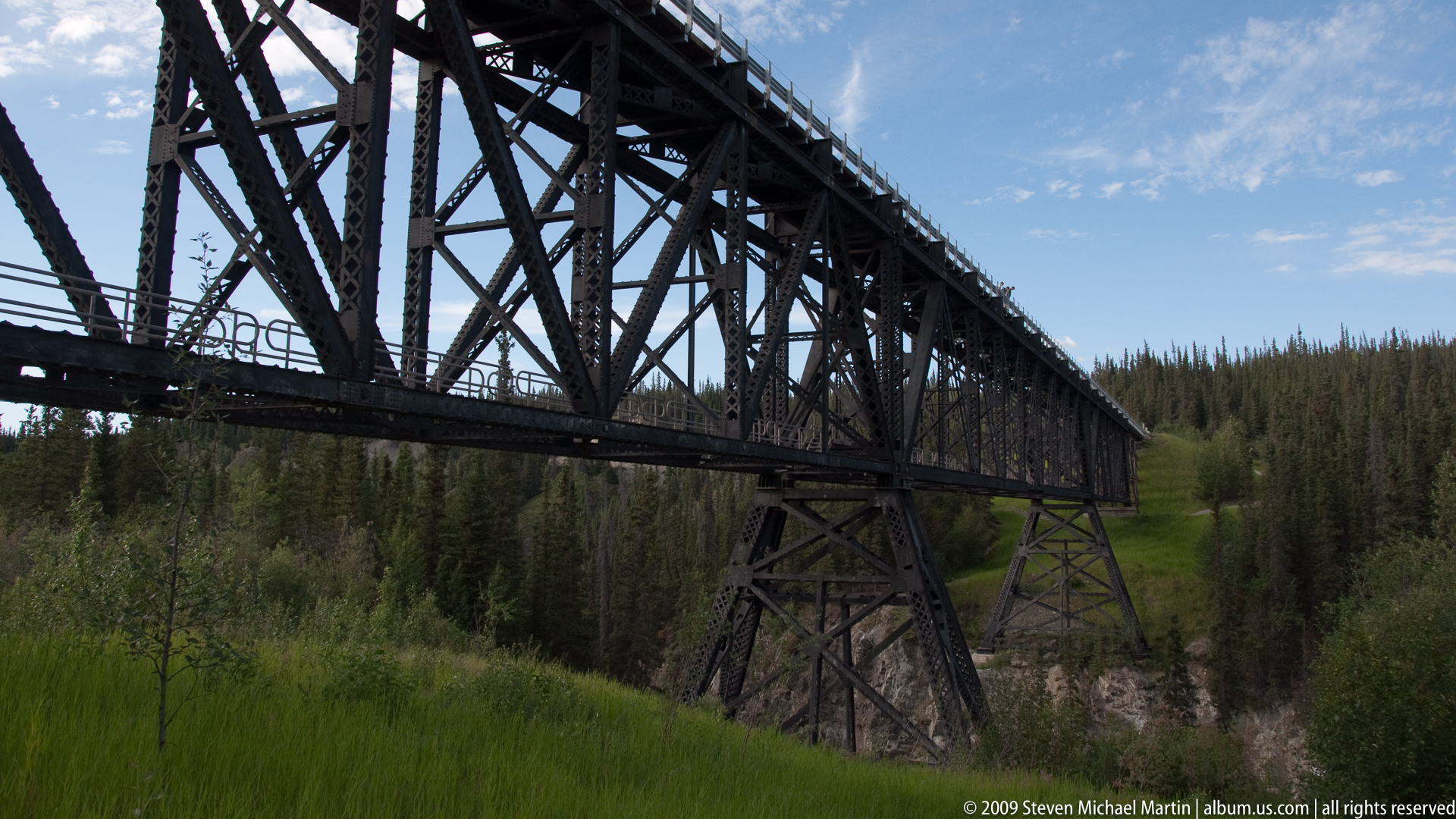
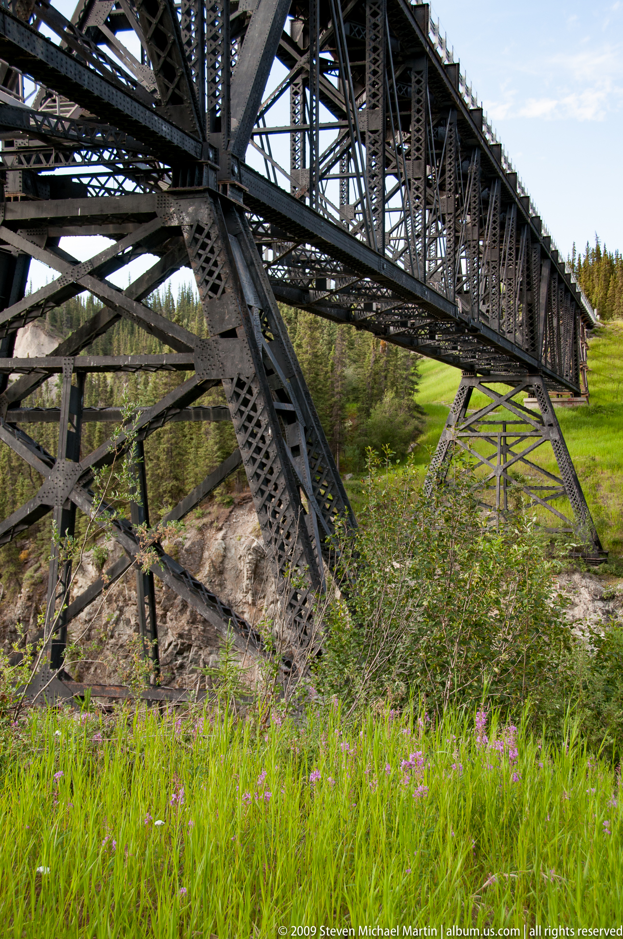
The park protects a continuum of ecosystems extending from coastal influences to interior mountain environments, where glaciers flow from high ice fields into braided river systems that shape broad valleys. Several of North America’s largest glaciers originate within the park, illustrating the continuing influence of ice on landscape formation. Historic mining districts and remote transportation routes reflect human efforts to access mineral resources within this rugged terrain during the late nineteenth and early twentieth centuries. The preserved Kennicott mining area provides insight into early industrial activity within remote mountain environments, demonstrating the challenges of extraction and settlement in one of the continent’s most geographically isolated regions.
Wrangell–St. Elias contributes to understanding large-scale geological processes associated with mountain building, volcanism, and glacial dynamics. The park forms part of an international protected area system that includes Kluane National Park in Canada, creating one of the most extensive continuous wilderness regions on Earth. Its preserved landscapes illustrate long-term environmental change and support ongoing scientific research related to climate patterns, glacier movement, and alpine ecosystems. The park’s scale and ecological continuity provide insight into the processes that shape high-latitude mountain environments across the Northern Hemisphere.
Field Guide
Location: Southeastern Alaska, near the Canadian border
Designation: National Park and Preserve
Established: 1980
Primary Landscapes: Glaciers, volcanic mountains, alpine tundra, river valleys, boreal forest
Geologic Features: Active volcanoes, tectonic uplift, extensive ice fields, glacial valleys
Notable Peaks: Mount Saint Elias, Mount Wrangell, Mount Blackburn
Hydrology: Copper River watershed and glacial river systems
Wildlife: Dall sheep, grizzly bear, black bear, moose, caribou, wolf
Notable Historic Sites: Kennicott mining district
UNESCO Status: Part of the Kluane / Wrangell–St. Elias / Glacier Bay / Tatshenshini-Alsek World Heritage Site
Highlights
- One of the largest protected wilderness areas in the world
- Extensive glacial systems shaping active mountain landscapes
- Historic copper mining structures preserved at Kennicott
- Volcanic peaks rising above broad glacial valleys
- Continuum of ecosystems from forest to alpine tundra
Notable Encounters
- Dall sheep navigating steep alpine slopes
- Glacial rivers carrying sediment through broad valleys
- Views of ice fields extending across multiple mountain ranges
- Historic mining structures situated within remote terrain
- Changing weather patterns moving across high mountain ridges
Photography Notes
- Mountain peaks often appear most clearly during early morning hours
- Glacial landscapes benefit from side lighting that reveals surface texture
- Weather conditions can change rapidly in high elevation environments
- Wide-angle compositions help convey the scale of mountain ranges
- Layered ridgelines create atmospheric perspective in clear conditions
- Cloud movement can add visual structure to alpine compositions