Cuyahoga Valley
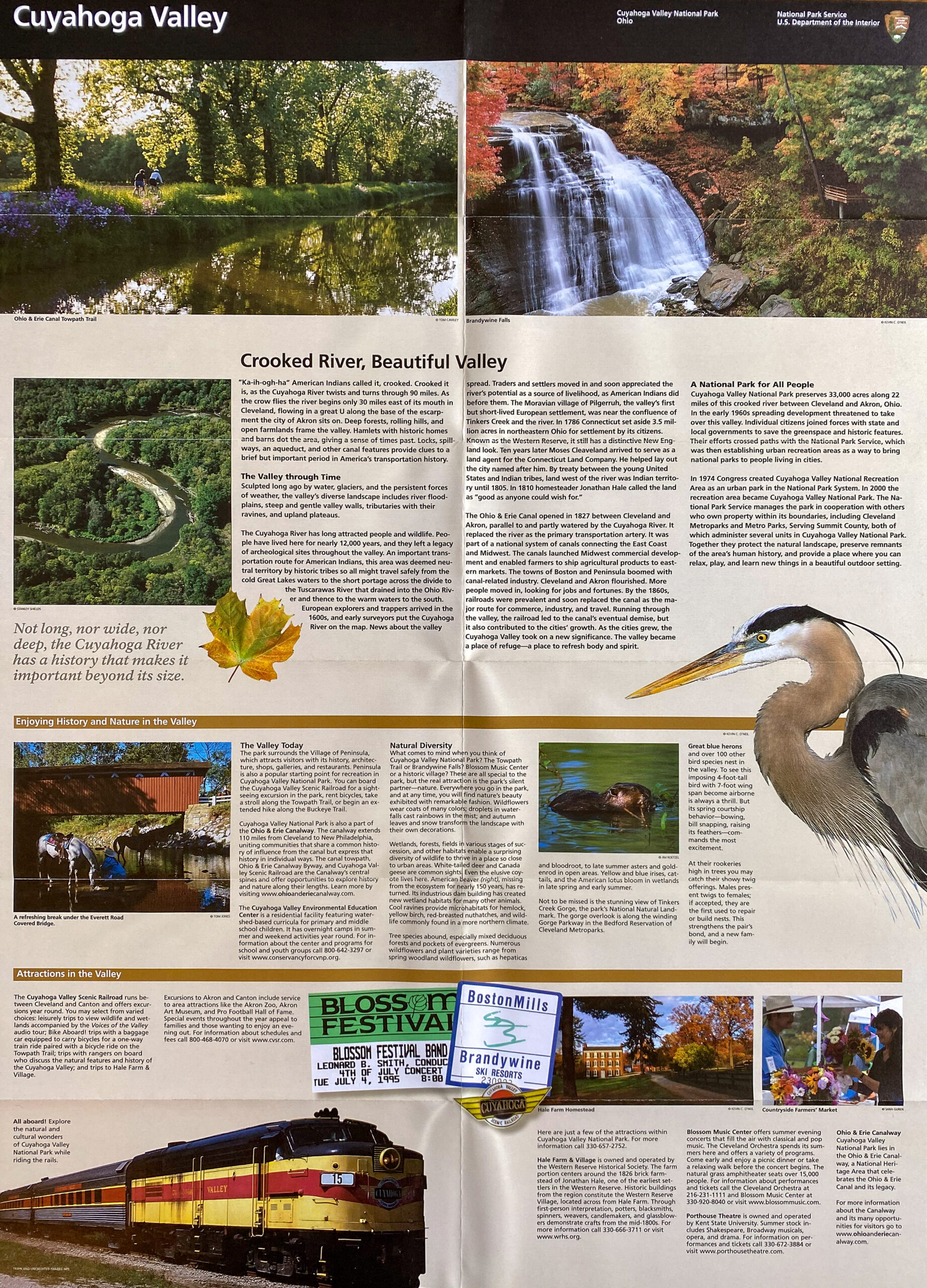
Cuyahoga Valley preserves a landscape shaped by glacial movement, river erosion, and layered sedimentary rock formations that developed over hundreds of millions of years. The Cuyahoga River follows an unusual course, flowing south before turning north toward Lake Erie, reflecting the influence of glacial deposits that altered earlier drainage patterns. Waterfalls, wetlands, and forested valleys illustrate how geological processes created environments that supported both wildlife and human settlement.
For thousands of years, river valleys such as the Cuyahoga provided natural travel corridors through otherwise dense forests and uneven terrain. Indigenous communities used these routes for seasonal migration, hunting, and trade long before European exploration. Later settlers also relied on river corridors and valley landscapes when establishing transportation routes linking the Great Lakes region with interior North America.
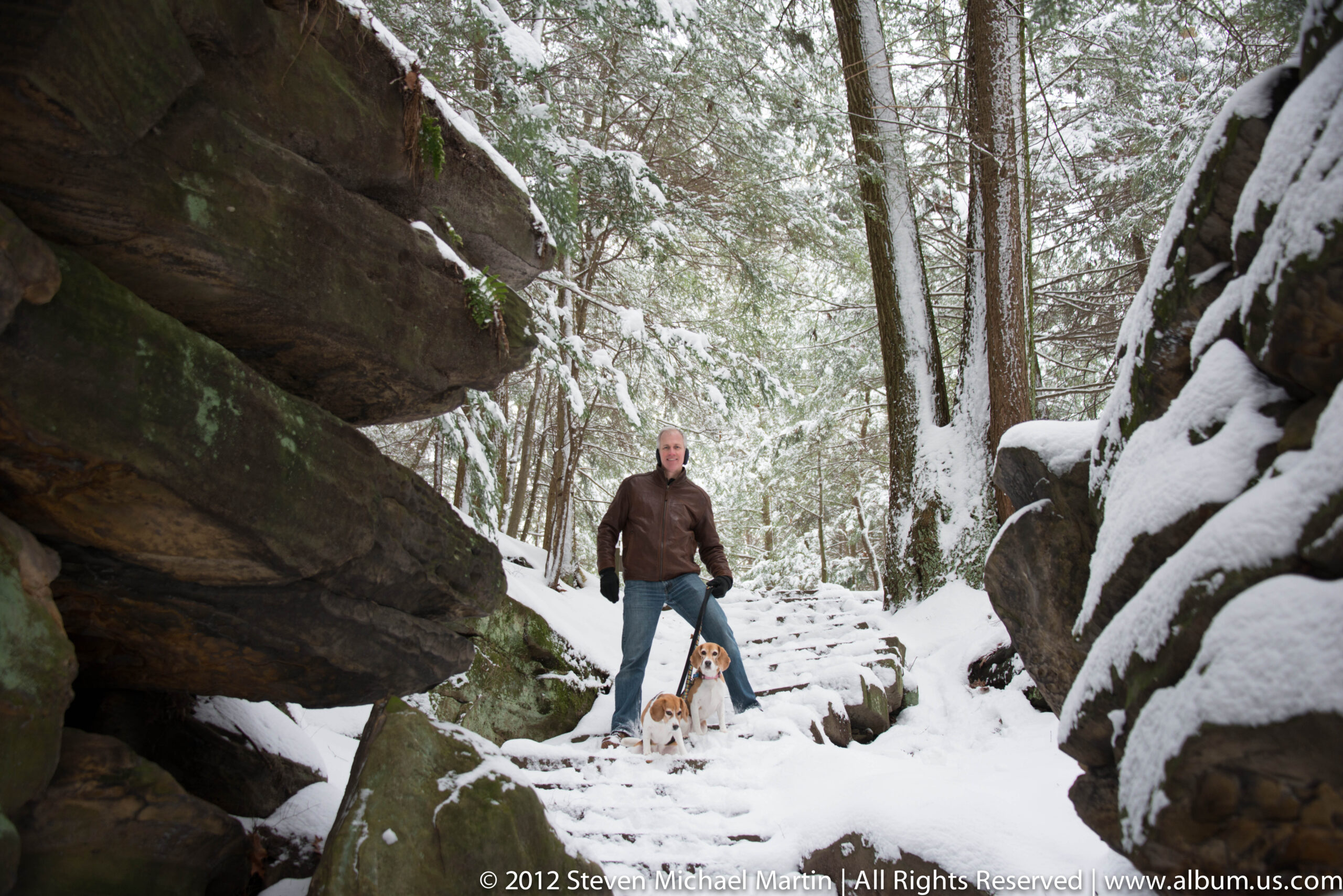
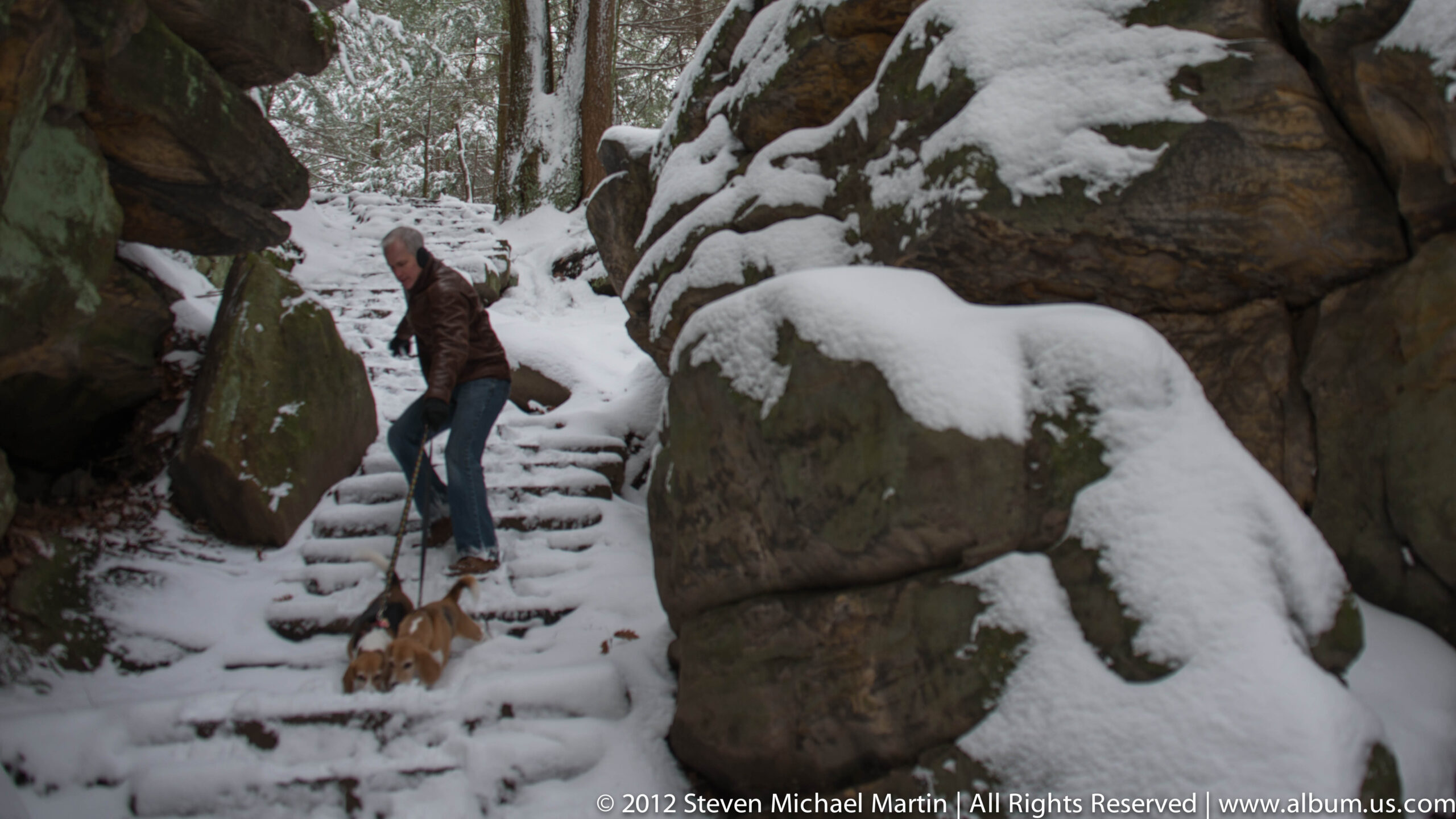
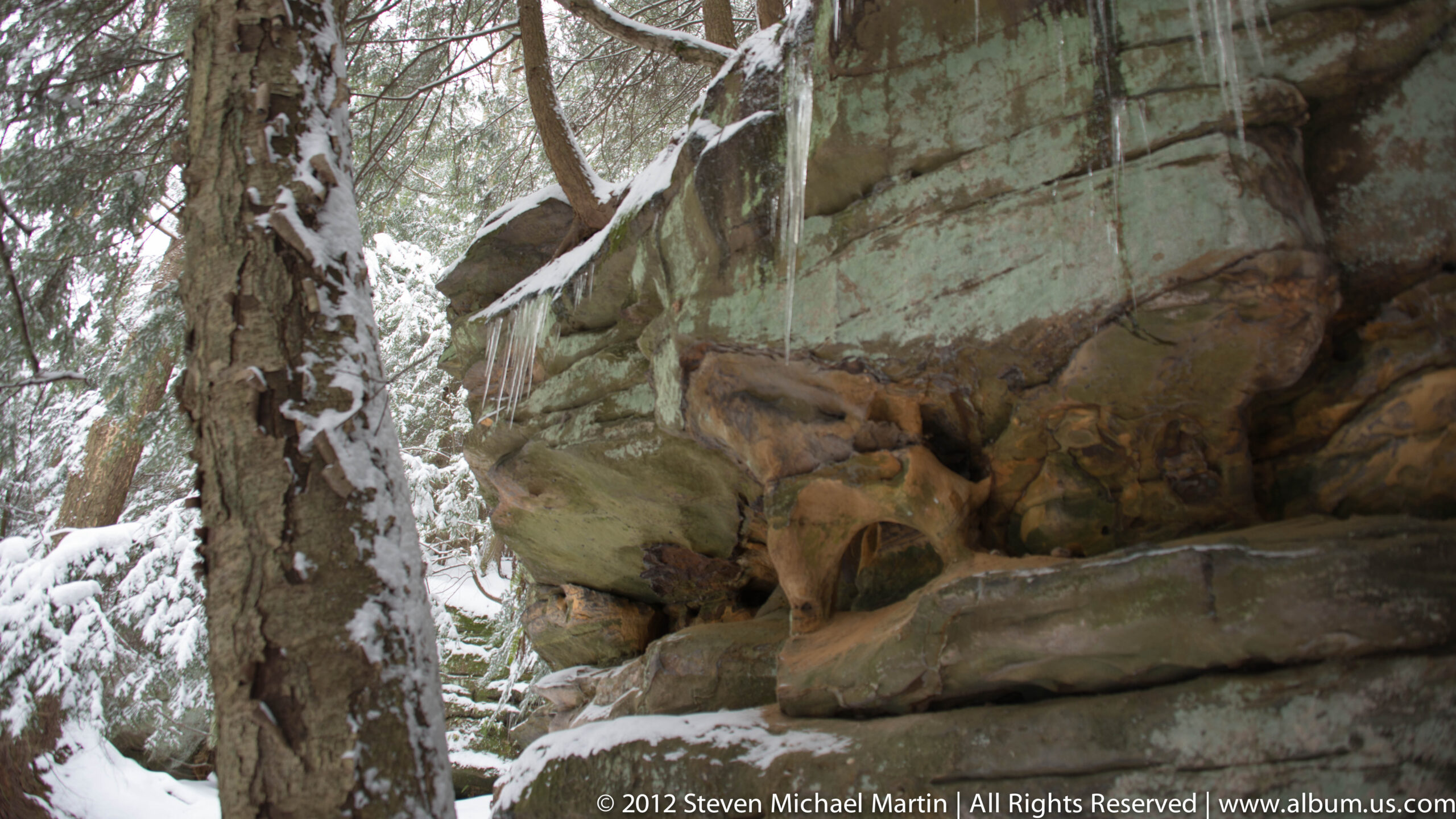
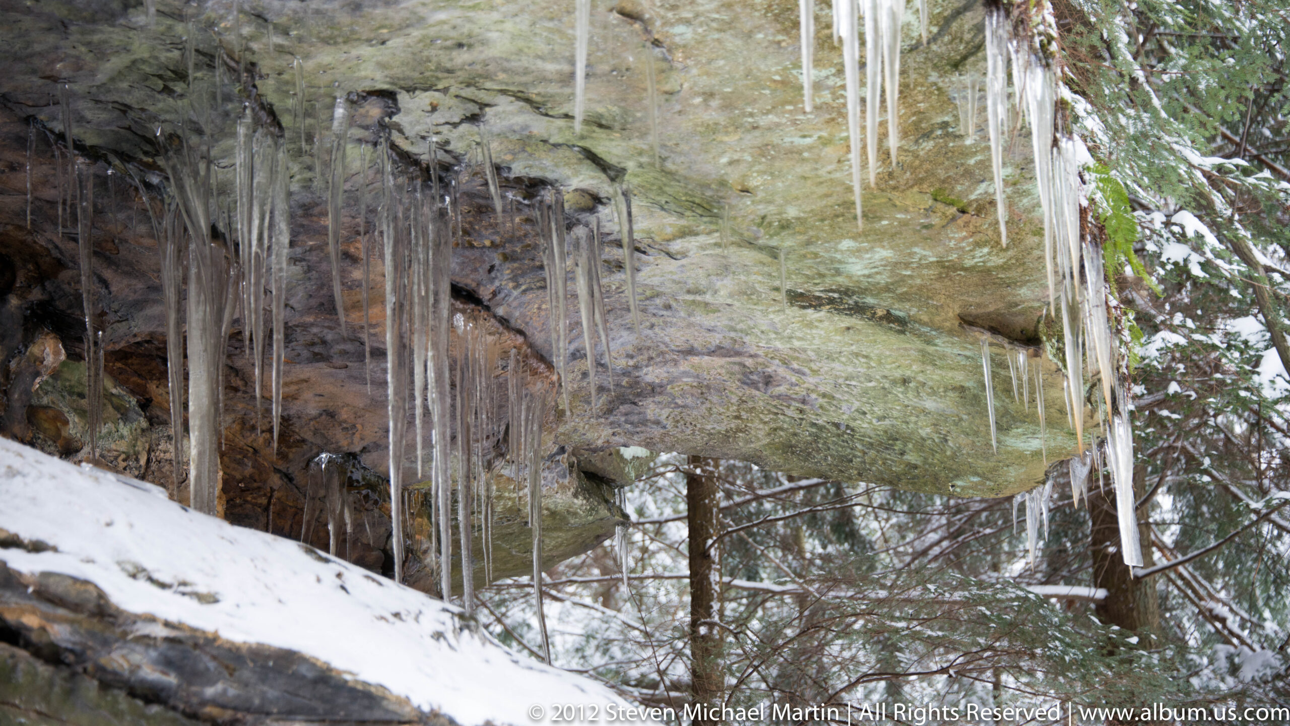
Today, Cuyahoga Valley demonstrates how environmental change shaped the geography of the Great Lakes region. Trails, riverbanks, and exposed rock formations provide insight into the long relationship between water and landscape that influenced patterns of movement across North America over many generations.
National Park Field Guide
Cuyahoga Valley National Park preserves a landscape shaped by glacial movement, river erosion, and long-term ecological change. Located between Cleveland and Akron, the valley illustrates how water and climate gradually shaped terrain through erosion and sediment deposition. Forests, wetlands, waterfalls, and river corridors demonstrate the environmental diversity that developed following the retreat of the last Ice Age glaciers.
🧭 Key Features
- Glacially shaped river valley landscape
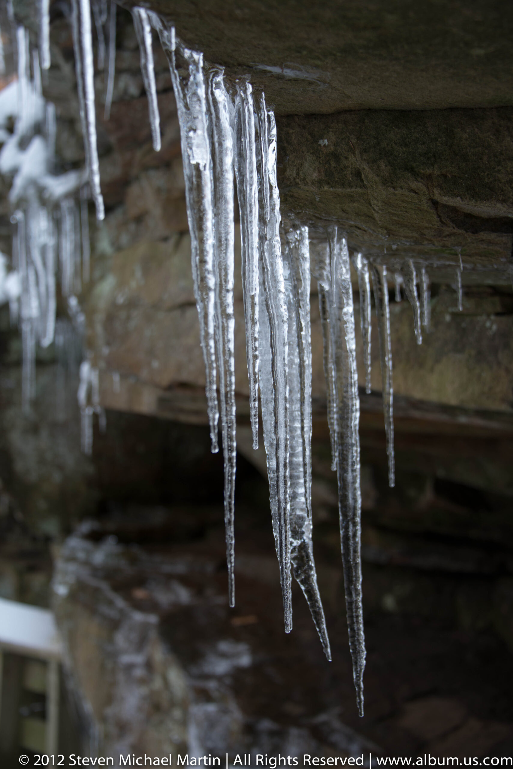
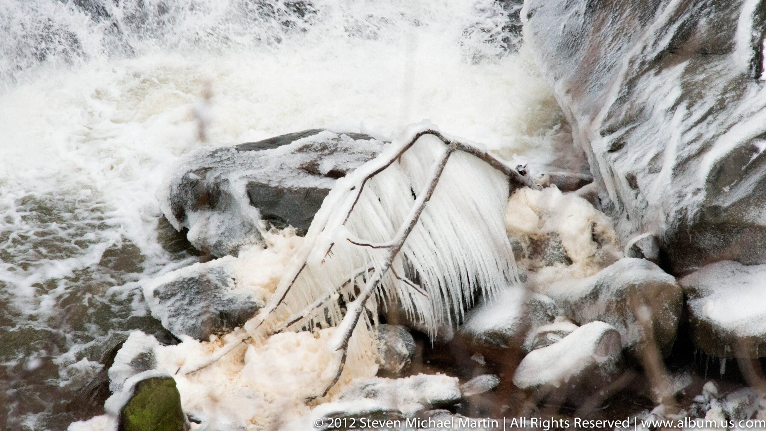
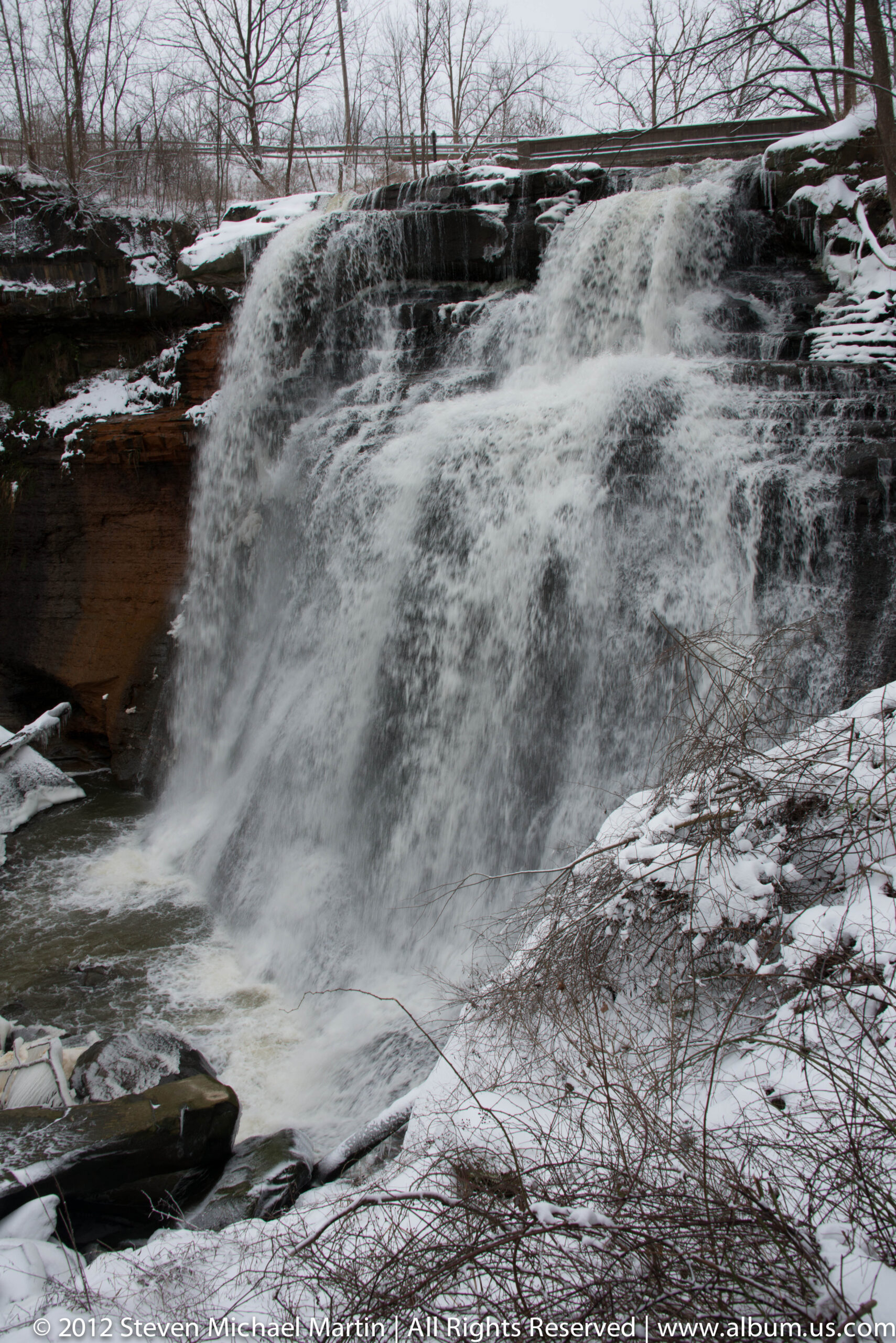
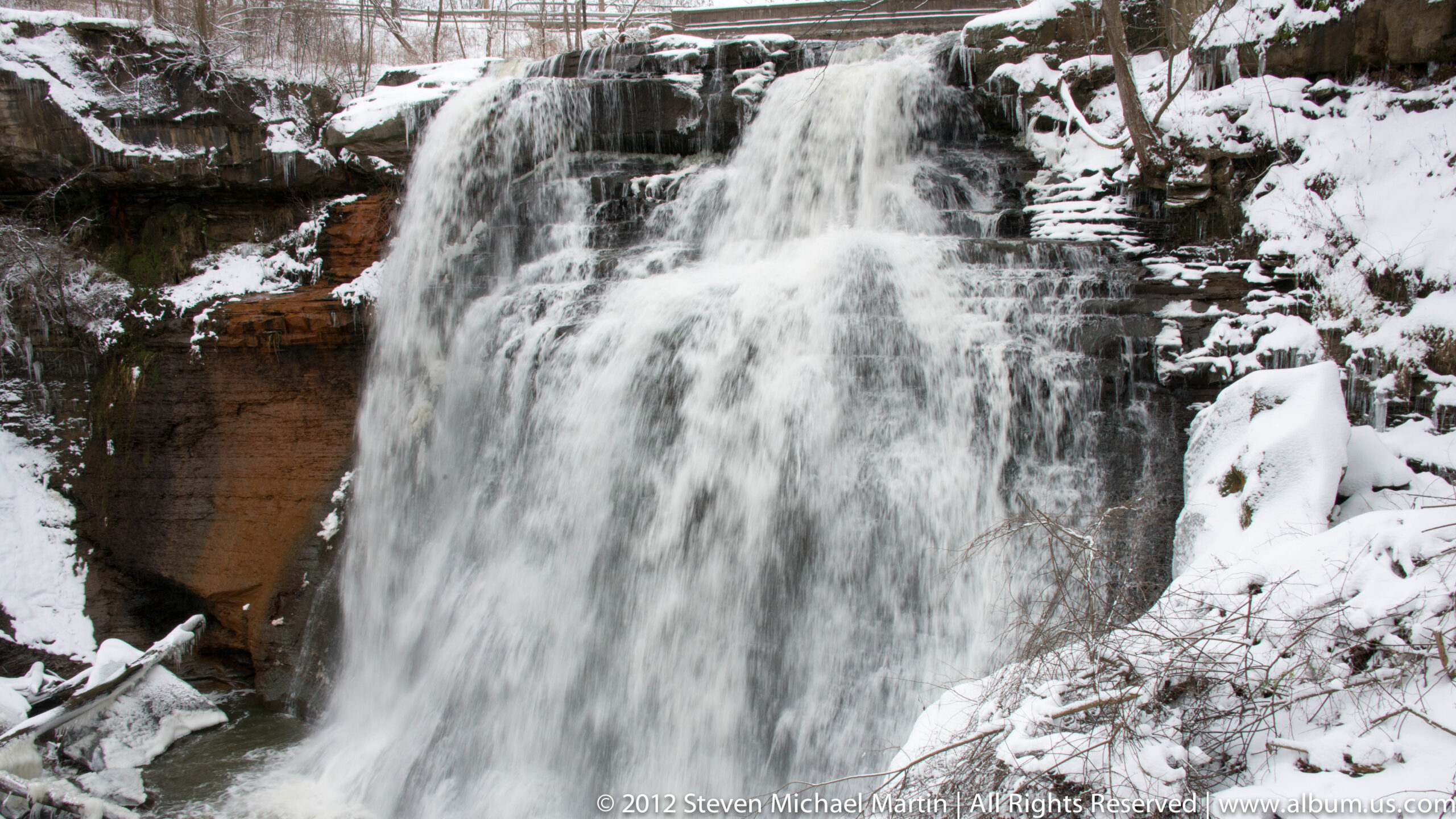
- Brandywine Falls and layered sedimentary rock formations

- Forested ecosystems representative of the Great Lakes region
- Wetlands supporting diverse plant and animal species
- River corridor illustrating changing drainage patterns after glaciation
🌄 Landscape Highlights
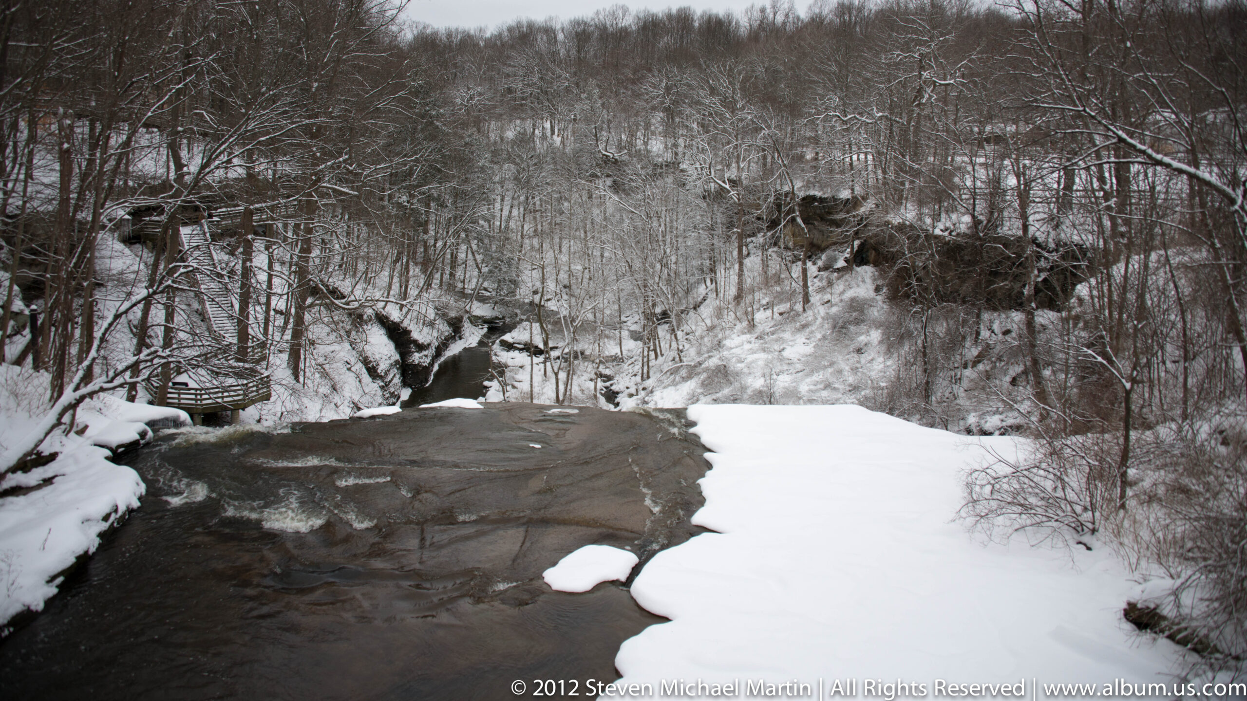
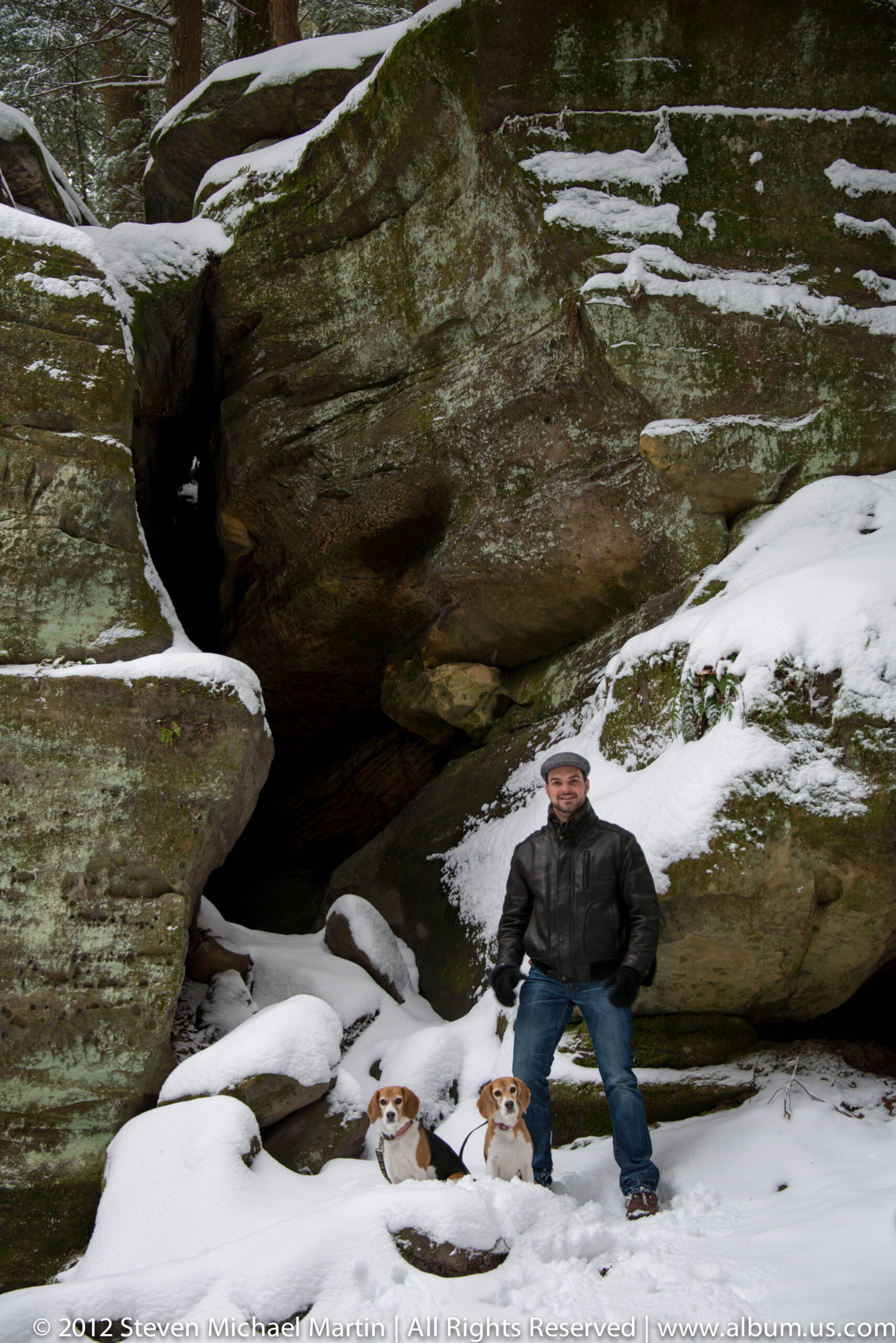
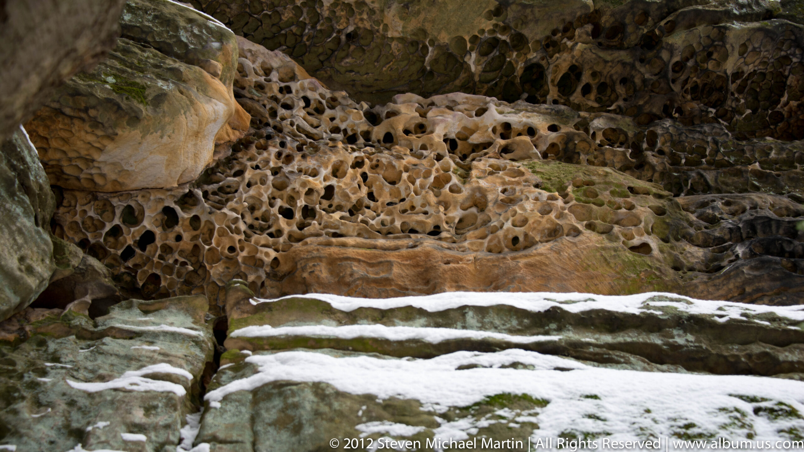
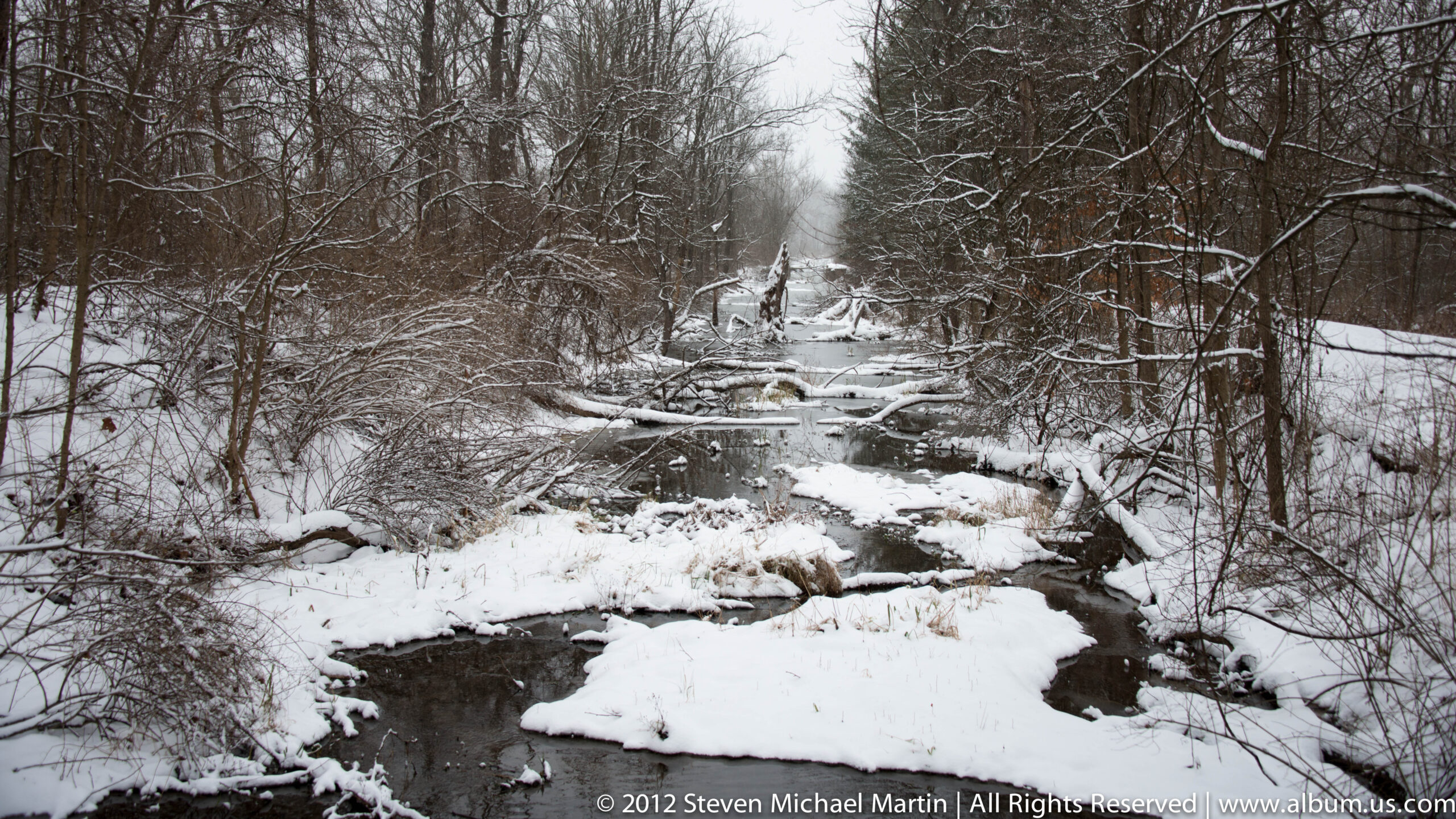
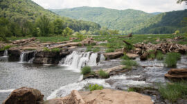
The Cuyahoga River flows in an unusual U-shaped pattern created by glacial deposits that altered earlier drainage routes. Waterfalls such as Brandywine Falls reveal horizontal rock layers formed when the region was covered by ancient inland seas. Forested slopes, riverbanks, and wetlands illustrate how water continues to influence terrain and ecological development.
🌎 Natural Systems
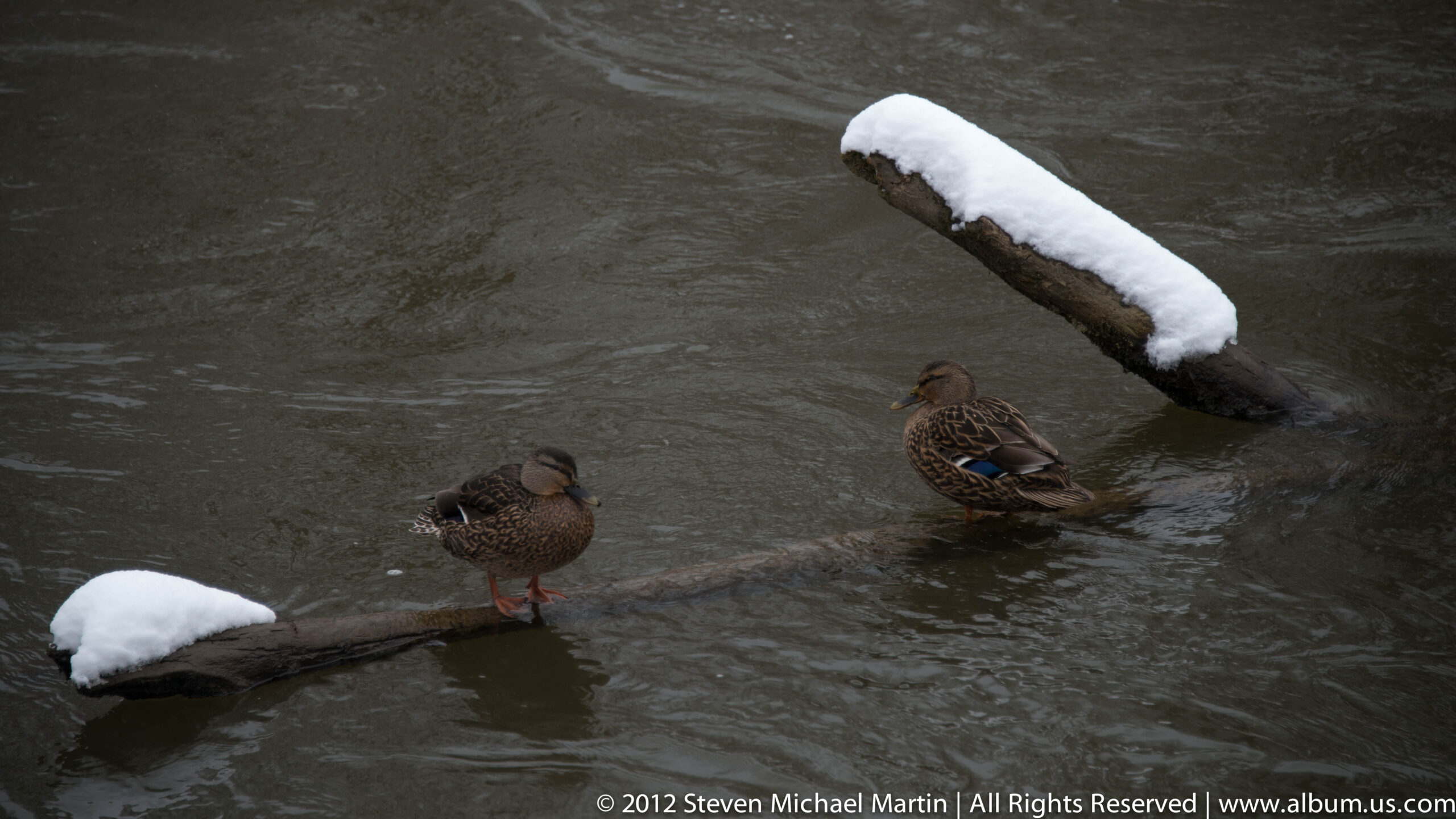
Glaciation played a defining role in shaping the valley, depositing sediments that redirected rivers and created varied topography. Today, forests, wetlands, and meadows support a wide range of plant and animal life. Seasonal changes highlight the dynamic relationship between climate, vegetation, and water systems that continue to shape the landscape.
📷 Photography Notes
- Waterfalls are most dramatic after rainfall
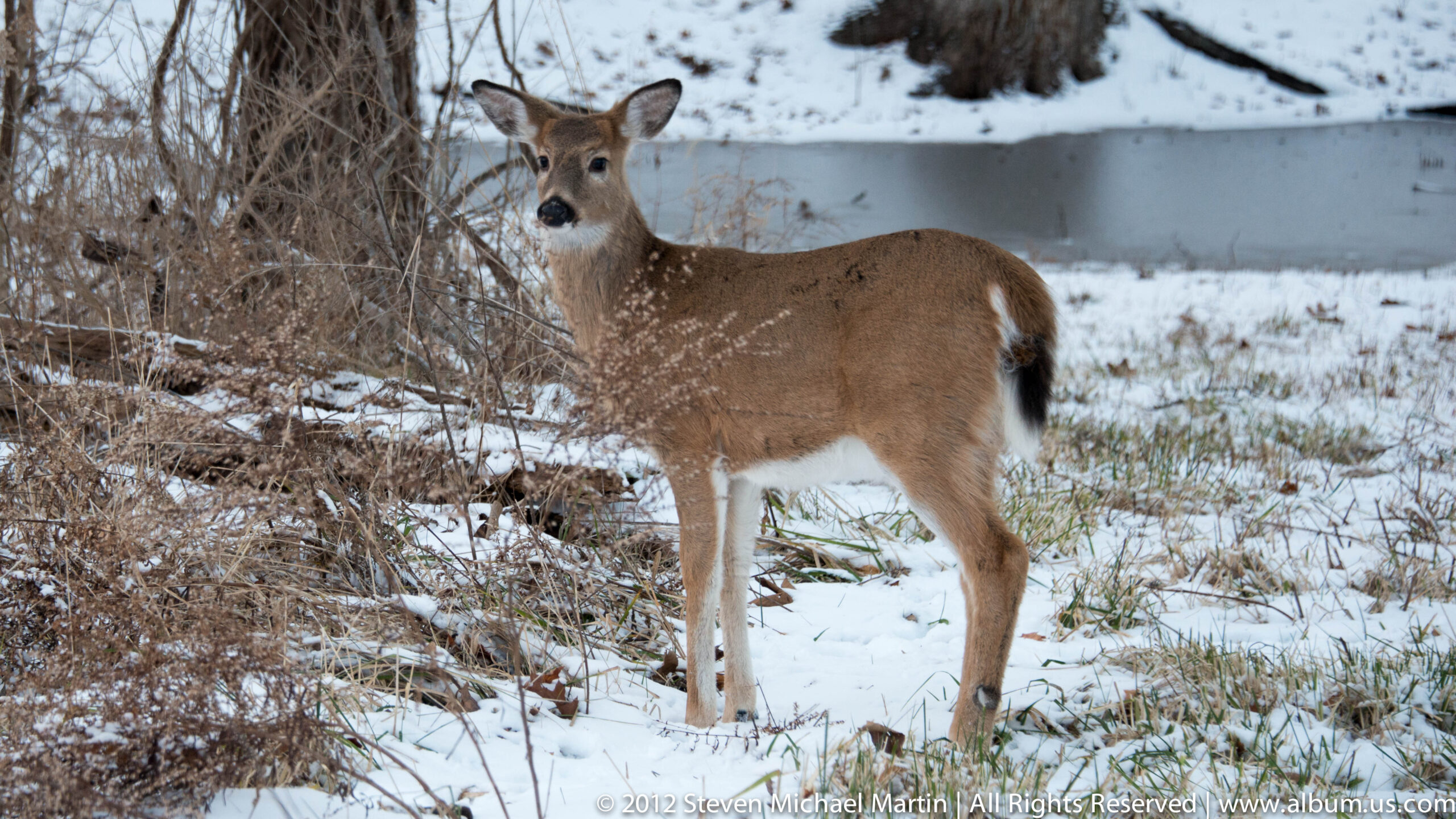
- Autumn foliage highlights valley depth and terrain contours
- Morning light works well along riverbanks
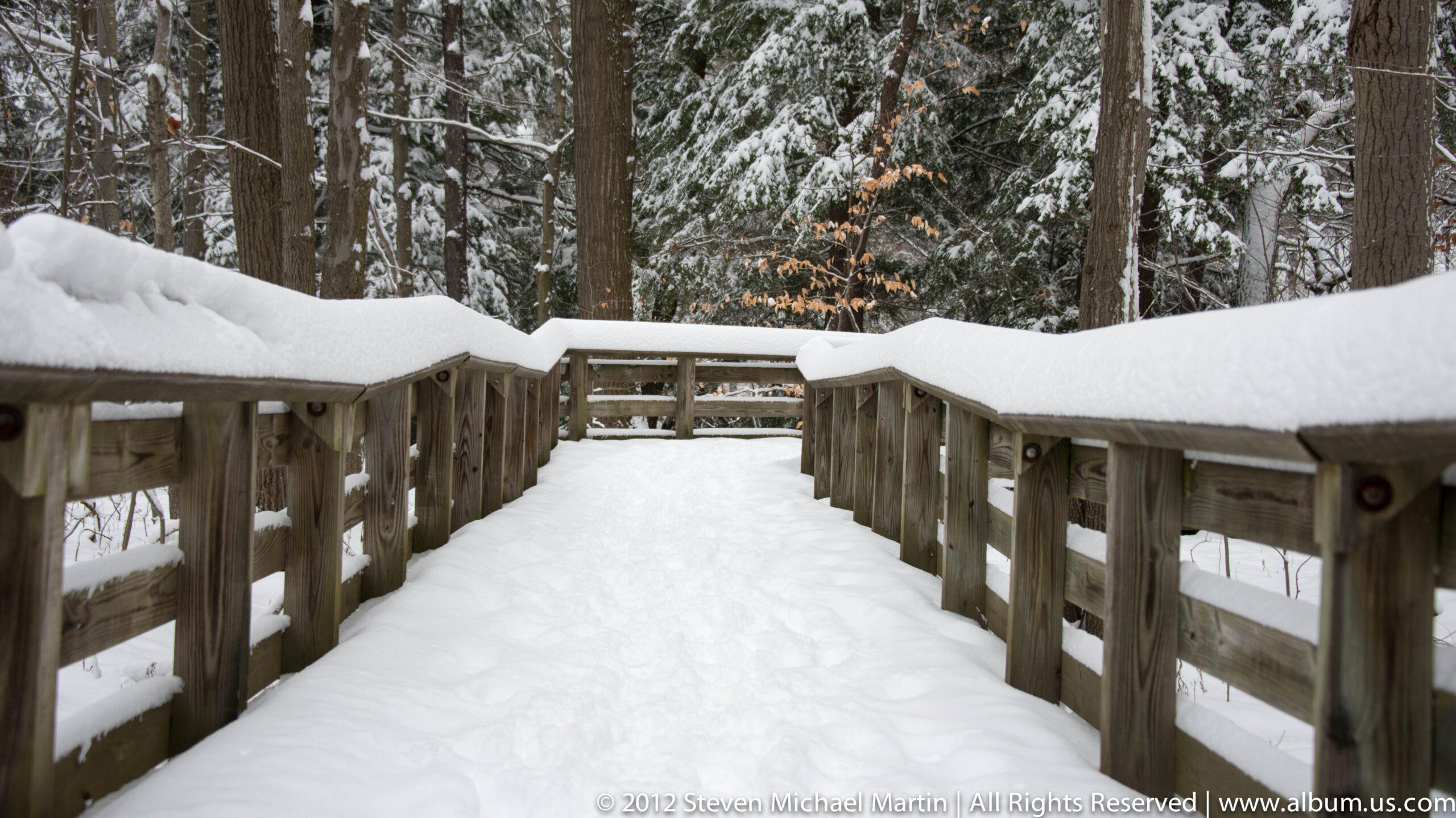
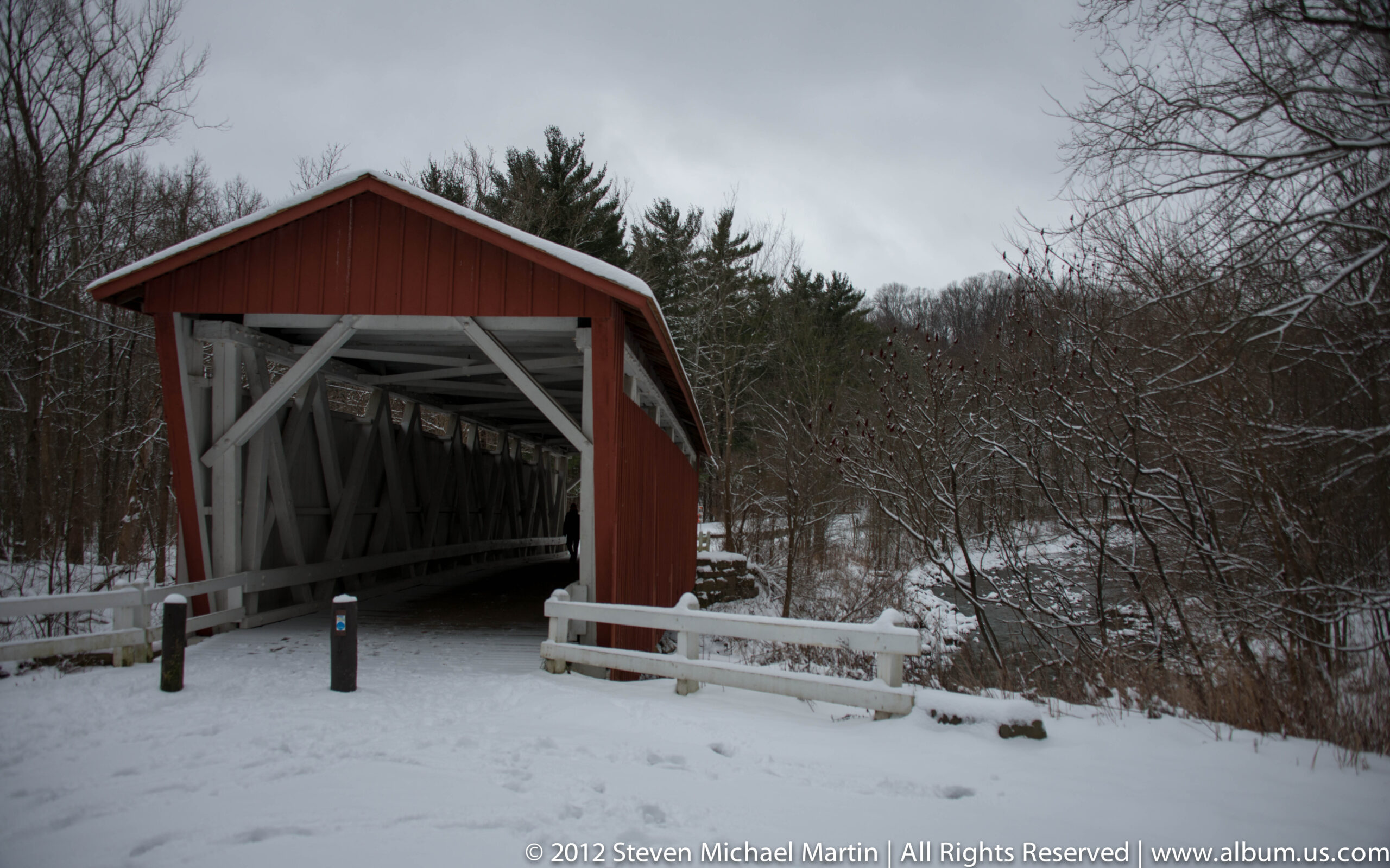
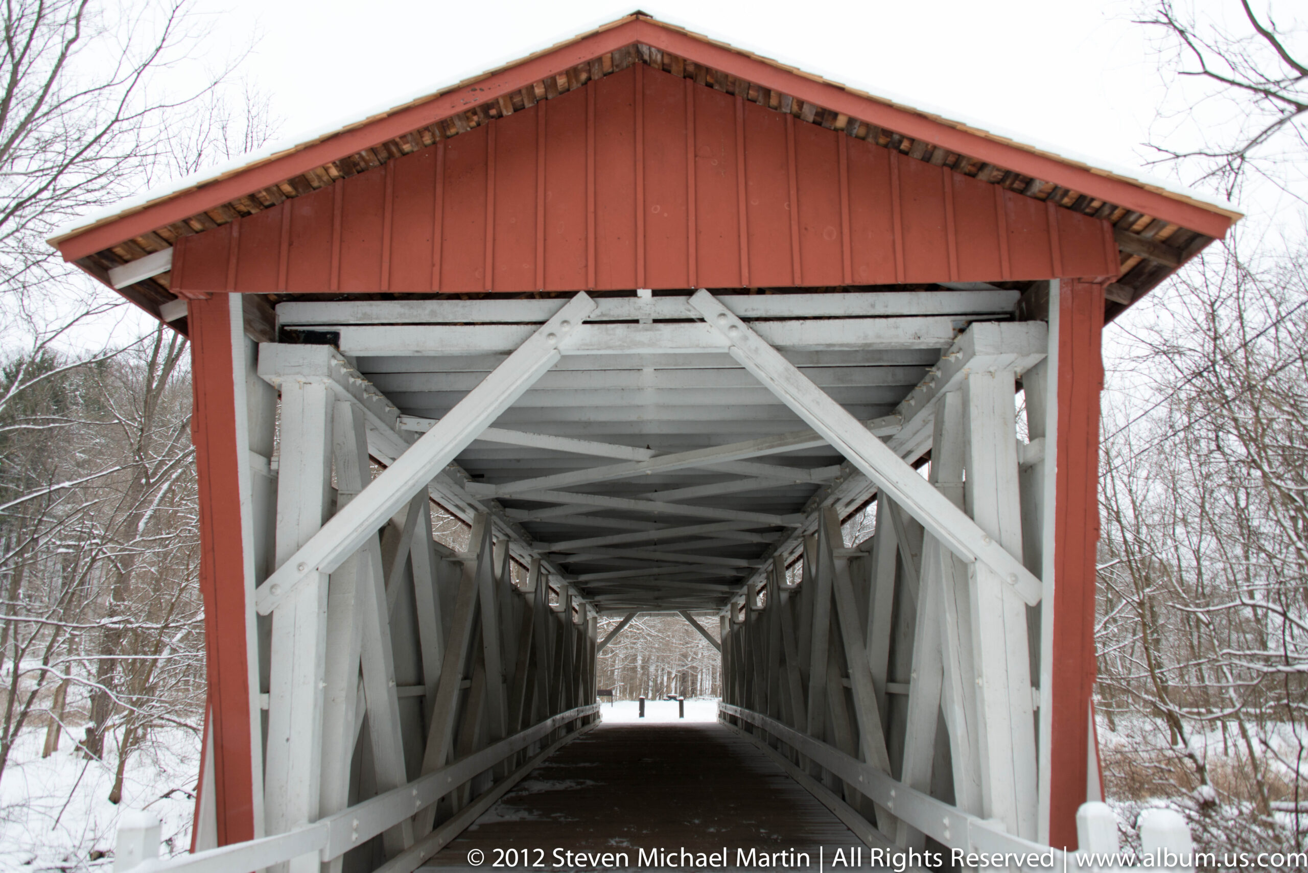
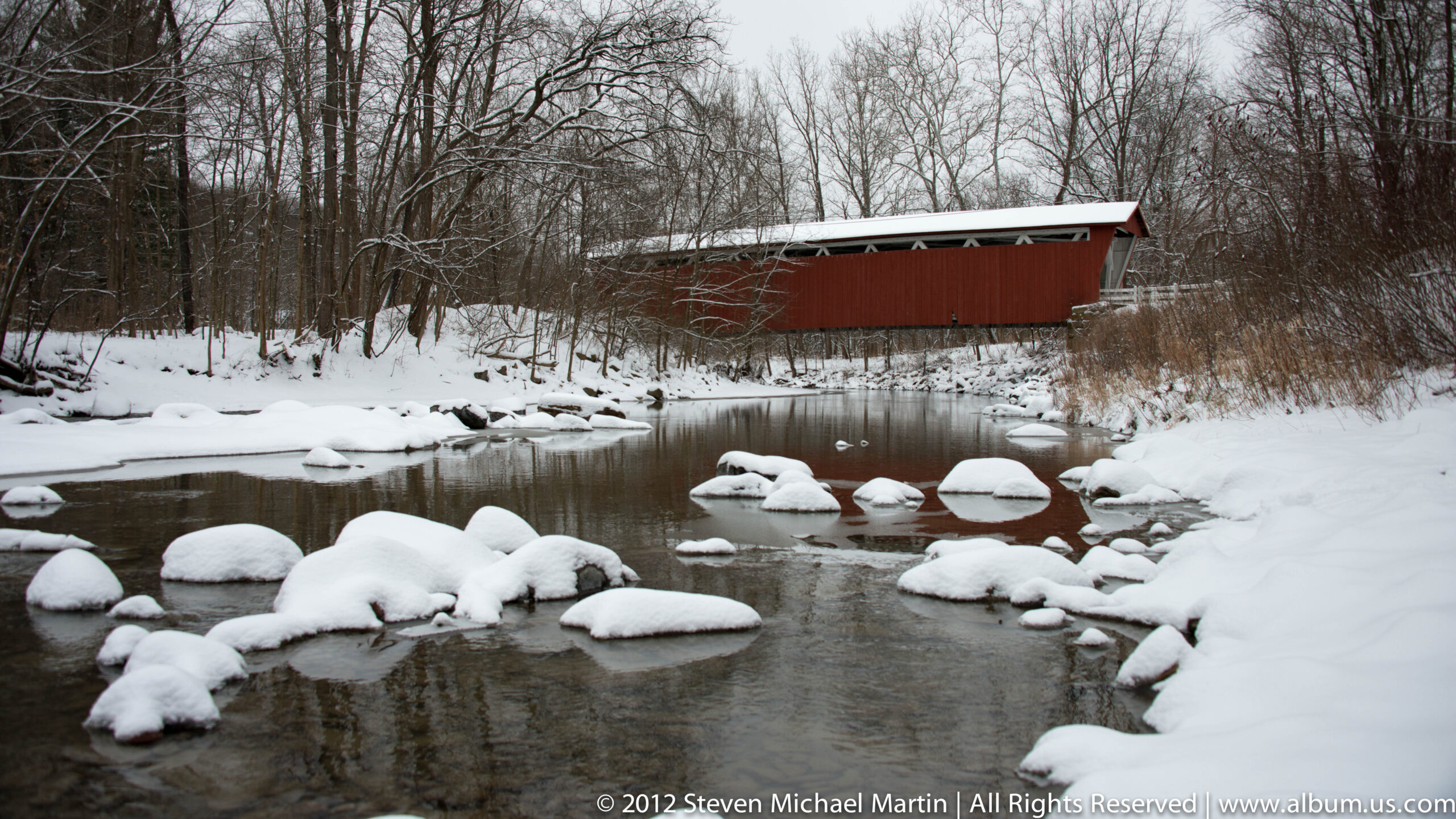
- Include trails or bridges to show landscape scale
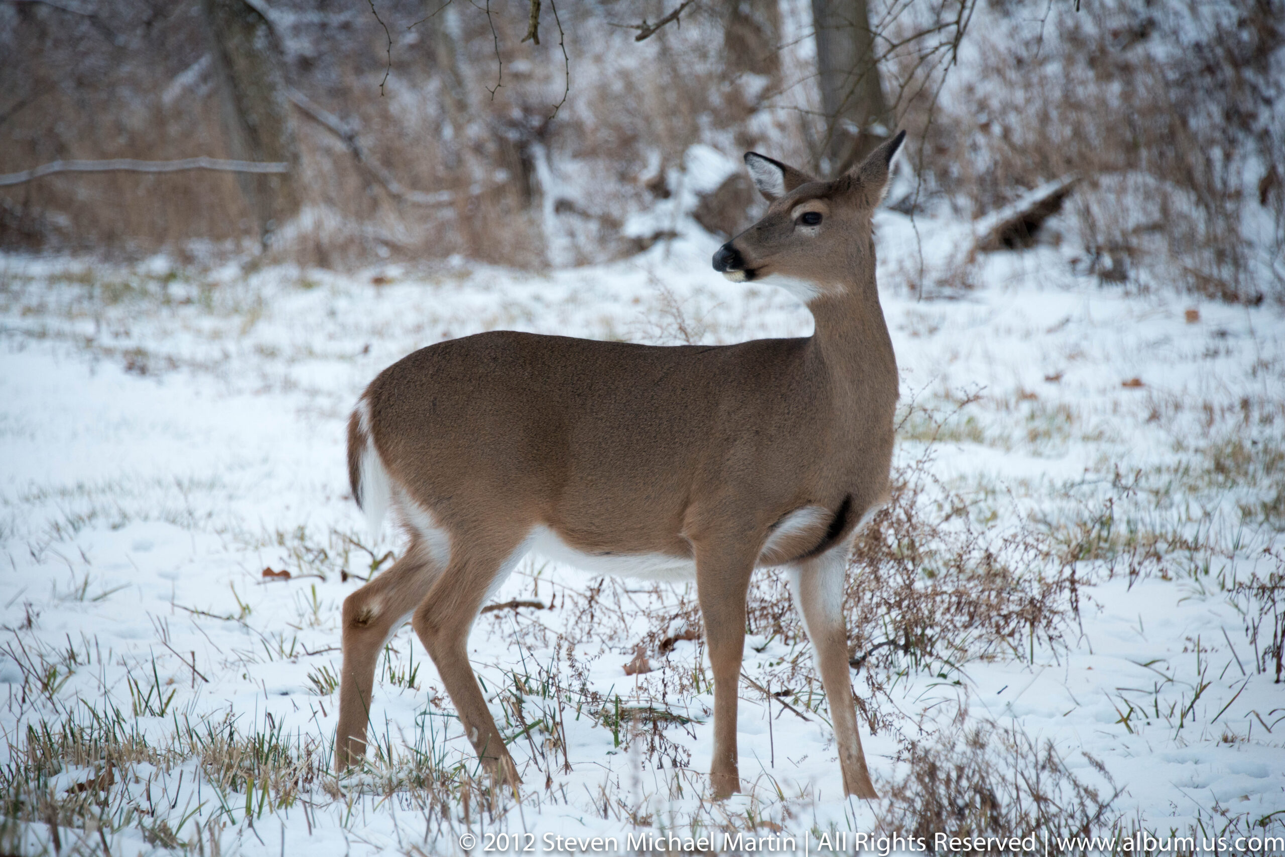
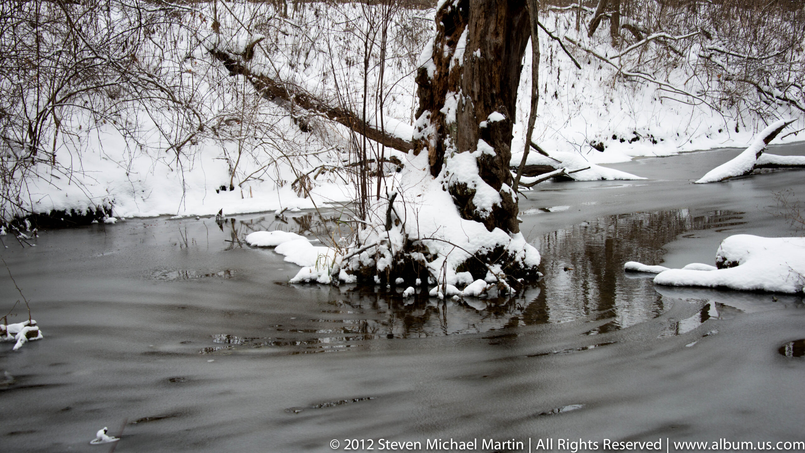
- Look for reflections in wetland environments
- Fog can create atmospheric depth in forest scenes
🌱 Conservation Context
Designation as a national park protects ecosystems that developed following glacial retreat thousands of years ago. Preservation allows visitors to observe how geological and ecological processes continue to shape the Great Lakes region. The park demonstrates the importance of protecting landscapes that illustrate long-term environmental change.