Upper Missouri River Breaks National Monument
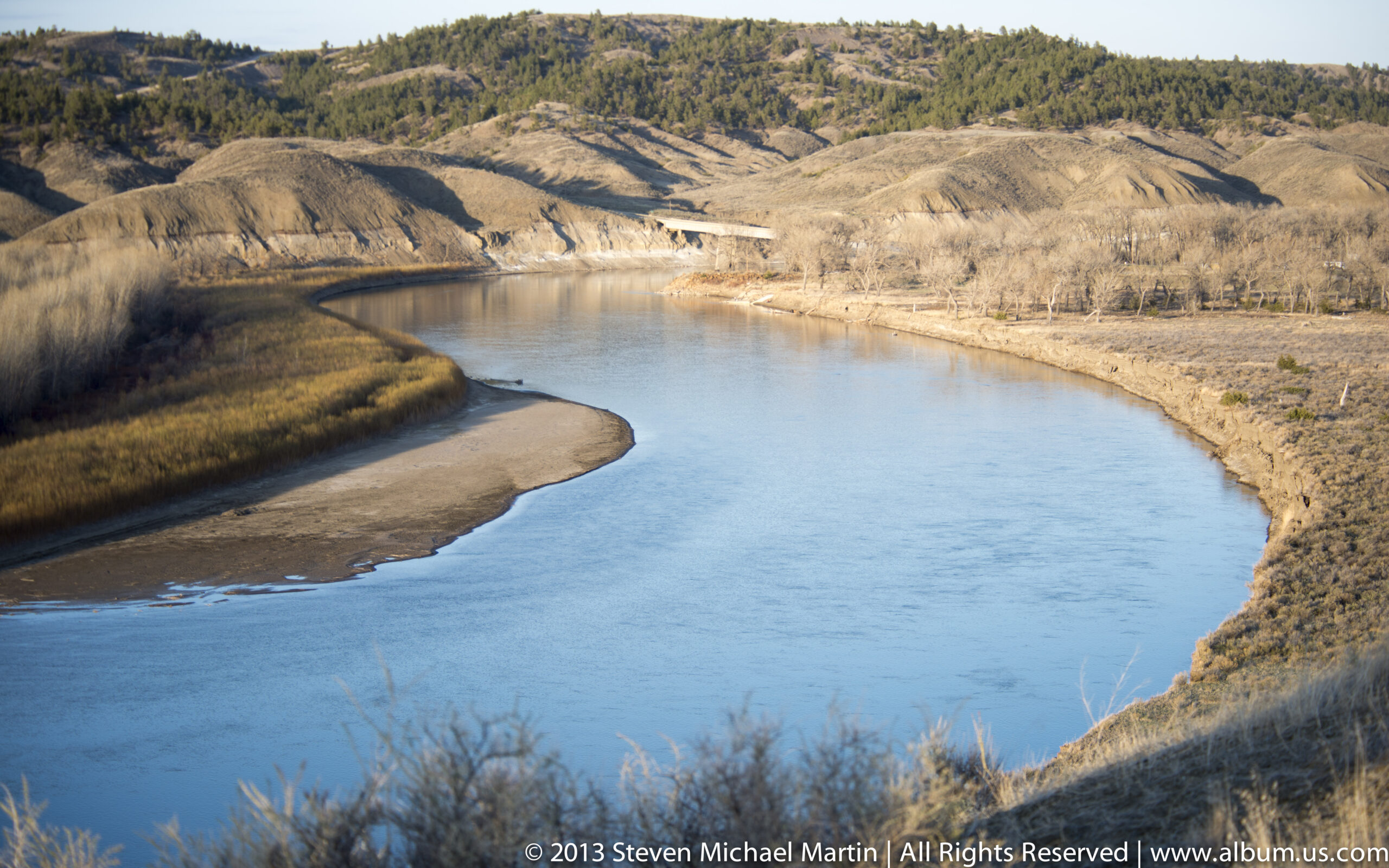
Upper Missouri River Breaks National Monument preserves a remote landscape of steep bluffs, eroded badlands, and river corridors along the Missouri River in central Montana. The monument illustrates how flowing water gradually carved dramatic terrain through sedimentary rock layers, producing isolated buttes, coulees, and rugged cliffs above the river. These landforms reflect long-term erosion processes that shaped one of the most historically important waterways in North America.
The Missouri River served as a major travel corridor for Indigenous communities, fur traders, and explorers moving through the northern plains. Expeditions such as Lewis and Clark passed through this region, relying on the river as a transportation route linking distant landscapes across the continent. The monument preserves an environment that still conveys the scale and isolation of the early American West.
Today, Upper Missouri River Breaks illustrates the relationship between geology, water, and human movement across the Great Plains. The monument’s combination of river scenery and sharply eroded terrain helps explain why major waterways played such an important role in exploration, trade, and settlement.



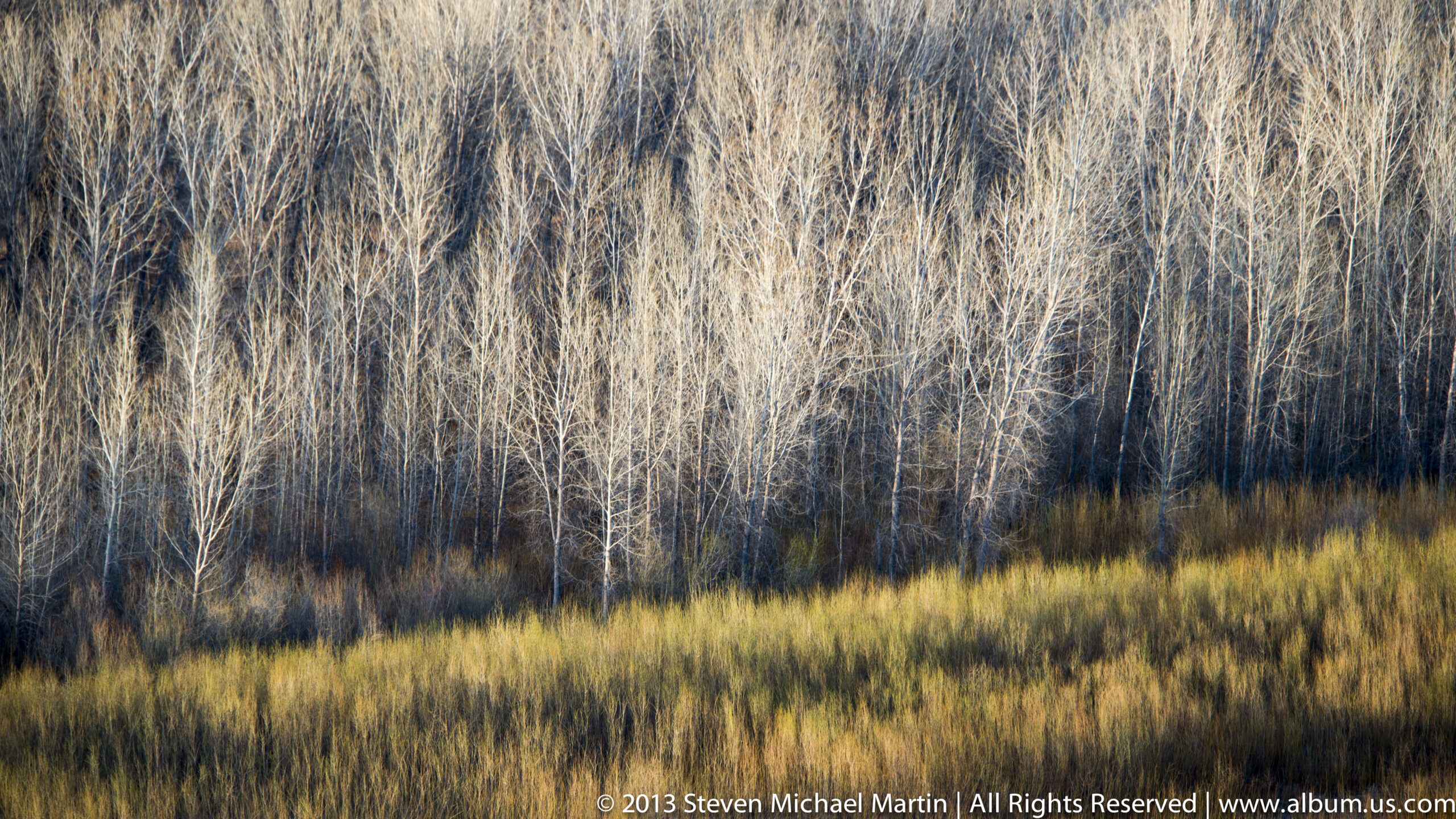
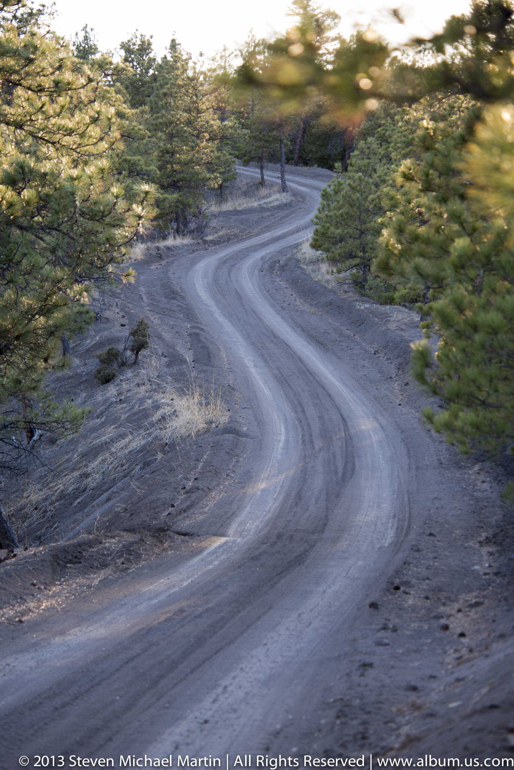

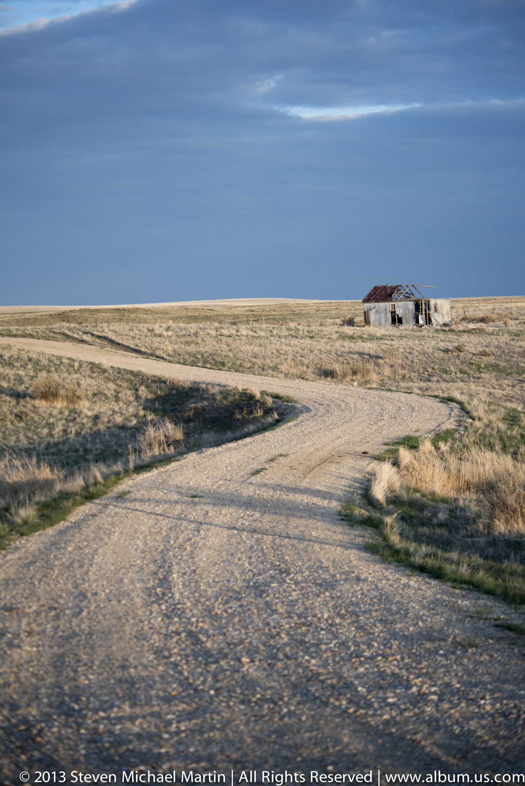

National Monument Field Guide
Upper Missouri River Breaks National Monument preserves a dramatic river landscape shaped by erosion of sedimentary rock layers along the Missouri River. Steep bluffs, isolated buttes, and rugged terrain illustrate how flowing water gradually carved pathways through the northern Great Plains. The river corridor served as an important travel route for Indigenous communities and later explorers.
🏛 Key Significance
- Missouri River corridor shaping Great Plains terrain
- Eroded bluffs and badlands formations
- Historic travel route for exploration and trade
- Landscape associated with Lewis and Clark expedition
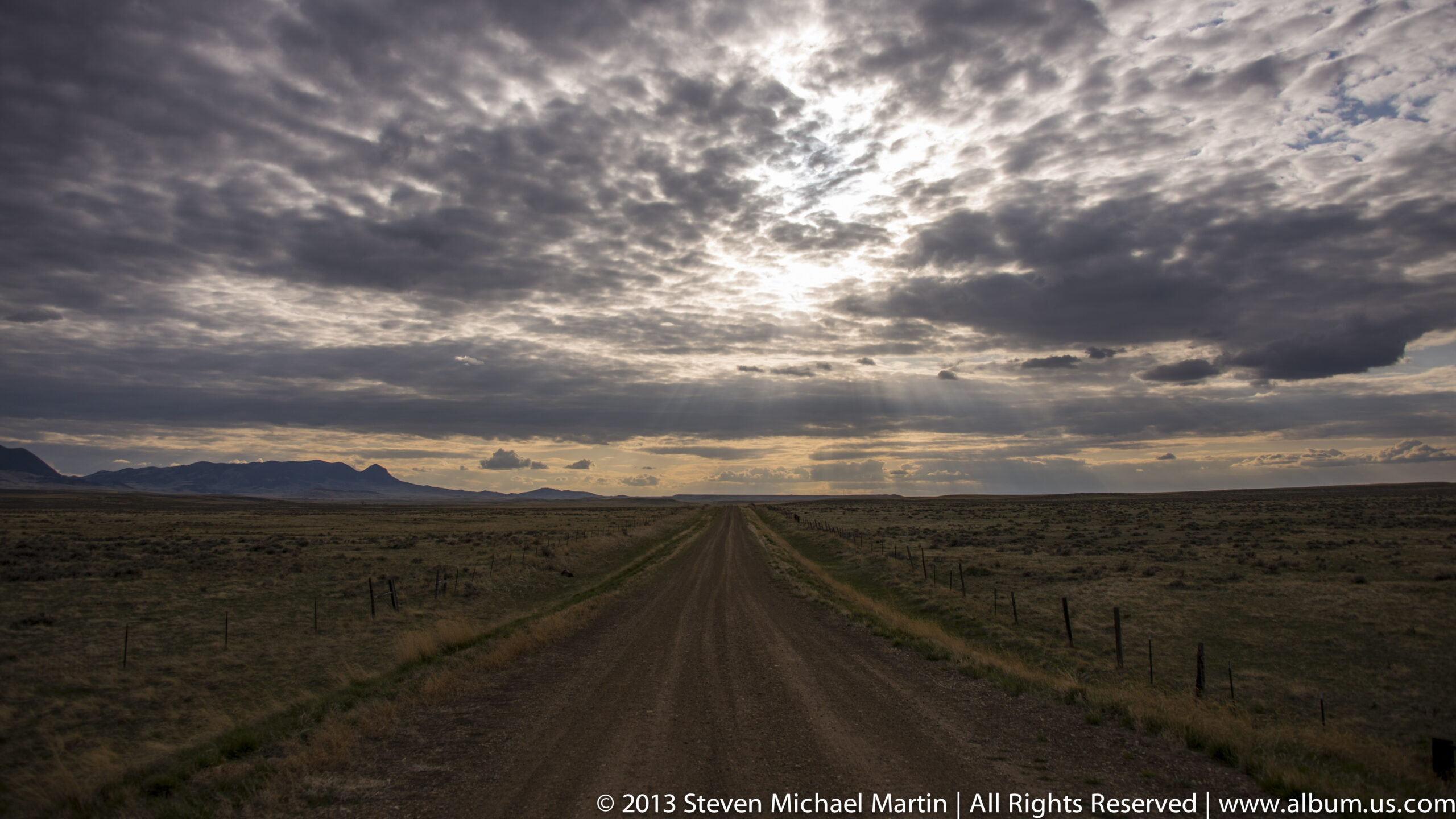
- Remote scenery illustrating scale of western plains
📖 Interpretive Context
Flowing water gradually eroded sedimentary rock layers, producing sharply defined ridges and valleys along the Missouri River. The corridor provided a natural route for transportation across otherwise difficult terrain. The monument demonstrates how rivers shaped patterns of exploration and settlement across the western interior of North America.
📷 Photography Notes
- Elevated viewpoints emphasize scale of terrain
- River bends create strong compositional lines
- Morning and evening light enhances cliff textures
- Wide skies highlight openness of landscape