Pompeys Pillar National Monument
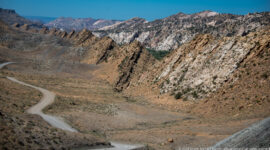
Pompeys Pillar National Monument preserves a sandstone formation rising above the Yellowstone River in southern Montana. The pillar is notable for the signature of William Clark of the Lewis and Clark Expedition, carved into the rock in 1806 during the expedition’s return journey. The site provides a tangible connection to early exploration of the American West and illustrates how river corridors served as important travel routes across the northern plains.
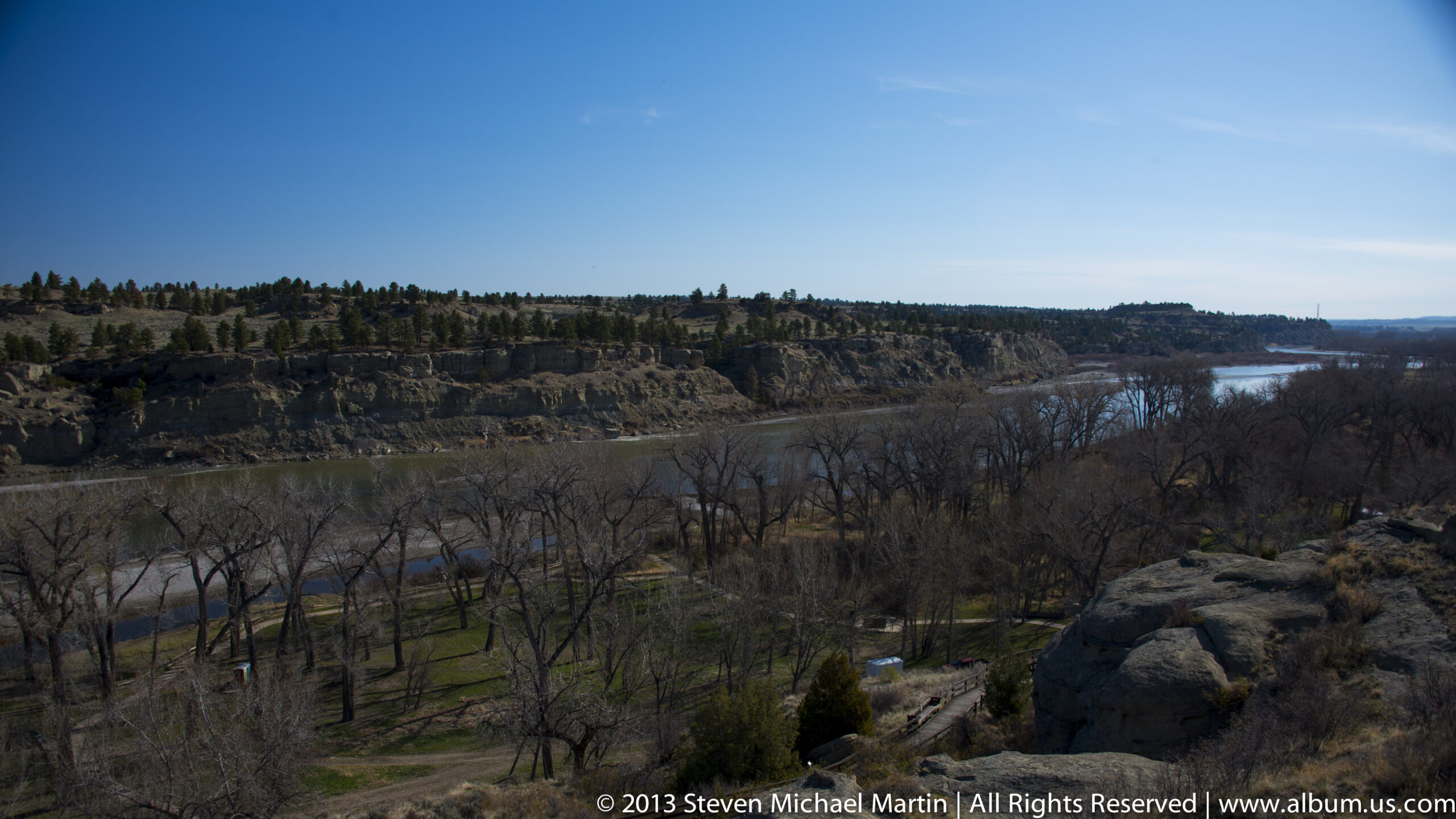
The Yellowstone River valley offered relatively navigable terrain for Indigenous communities long before the arrival of European explorers. Elevated rock formations such as Pompeys Pillar provided vantage points for observing the surrounding landscape and river corridor. The pillar demonstrates how distinctive geological features became landmarks within broader travel networks.
Today, Pompeys Pillar reflects the interaction between landscape and exploration history. The preserved inscription provides insight into early mapping and travel through regions that were largely unfamiliar to European Americans at the beginning of the nineteenth century.



National Monument Field Guide
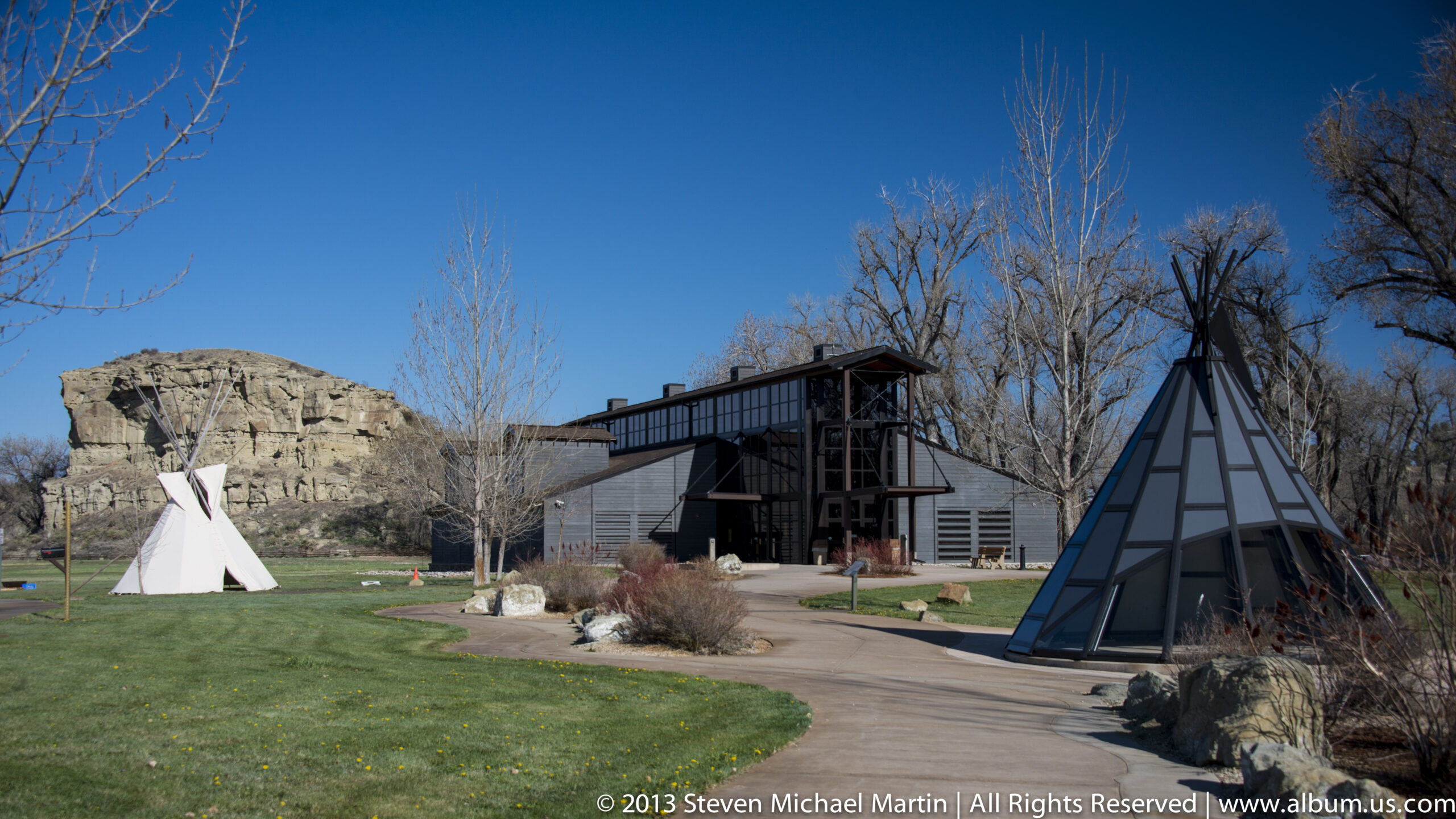
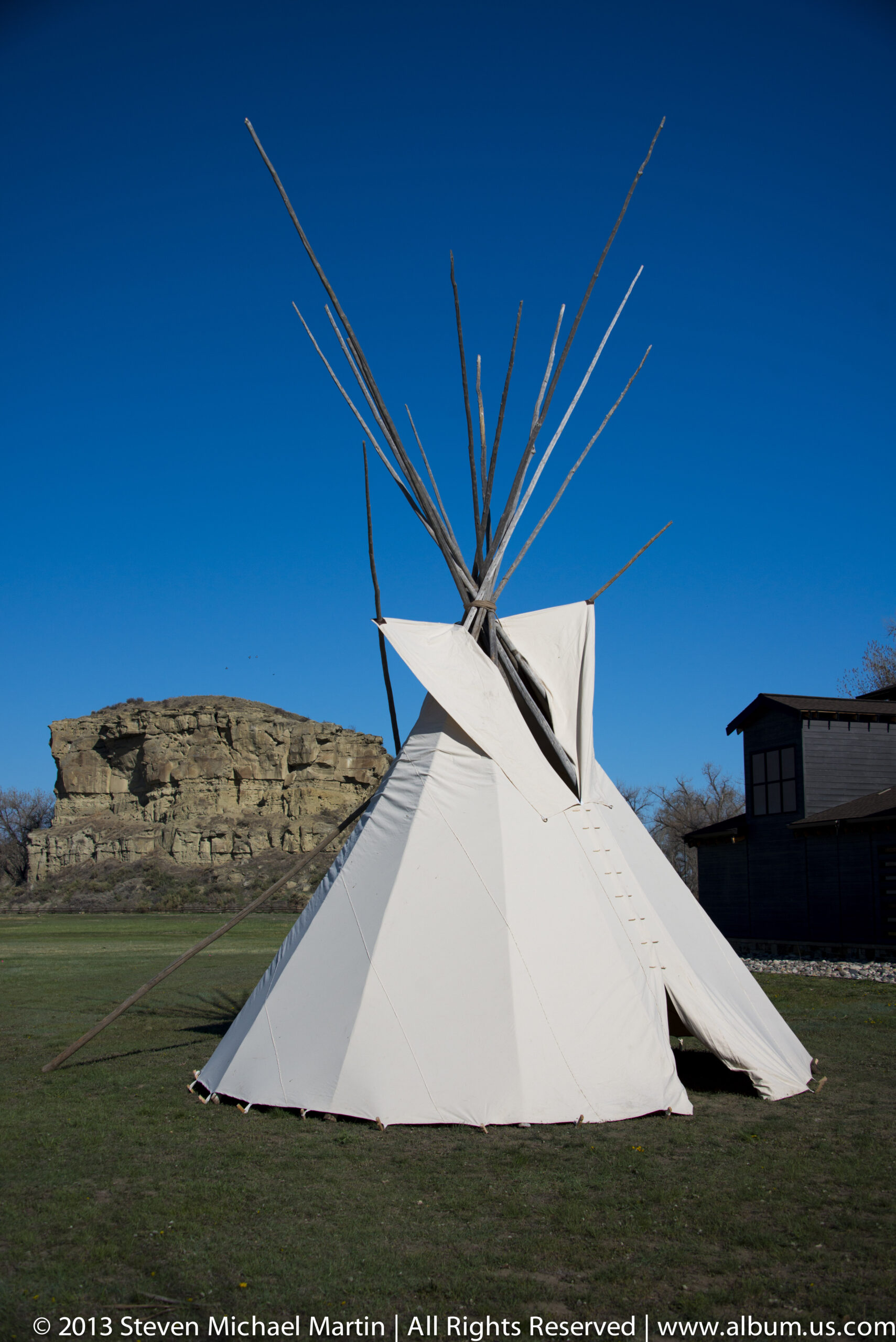
Pompeys Pillar preserves a sandstone outcrop associated with early exploration of the American West. The site is historically significant as the location of William Clark’s inscription during the Lewis and Clark Expedition. The rock formation rises prominently above the Yellowstone River, illustrating how geological features served as natural landmarks along important travel corridors.
🏛 Key Significance
- William Clark signature from 1806 expedition
- Sandstone pillar overlooking Yellowstone River
- Historic travel corridor used for exploration
- Geological landmark visible across plains landscape
- Connection to Lewis and Clark Expedition route
📖 Interpretive Context
Elevated rock formations provided navigation reference points for travelers moving along river systems. The Lewis and Clark Expedition documented landscapes encountered while mapping western territories. Pompeys Pillar illustrates how exploration routes often followed waterways that offered reliable passage through otherwise difficult terrain.
📷 Photography Notes
- Wide compositions emphasize scale of pillar
- River valley provides landscape context
- Side lighting highlights rock texture
- Elevated viewpoints show surrounding plains